
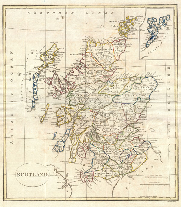
Scotland.
sold
- Digital Map Information
- Suitable for large format printing
- Full resolution TIFF file
- ICC color profile embedded
- Delivered instantly via download link
A fine 1799 map of Scotland by the English map publisher Clement Cruttwell. Covers the entire region in great detail, including a detailed inset of the Shetland Isles. Here all the counties are labeled as Shires, as the word 'county' did not become common usage ... (more details)

Map of the Consolidated City of Brooklyn.
sold
- Digital Map Information
- Suitable for large format printing
- File Size: 8.74 MB
- File Type: ZIP / TIFF
- ICC color profile embedded
- Delivered instantly via download link
An extremely rare example of William G. Bishop's pocket map of the city of Brooklyn, New York. In the mid 19th century, fueled by the advent of the steam ferry, which made crossing the East River practical, Kings County experienced a massive population burst. ... (more details)
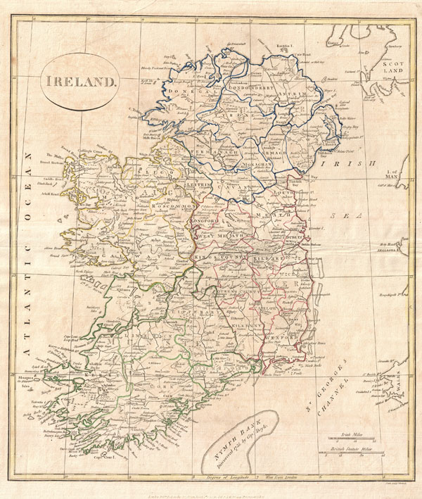
Ireland.
sold
- Digital Map Information
- Suitable for large format printing
- Full resolution TIFF file
- ICC color profile embedded
- Delivered instantly via download link
A fine 1799 map of Ireland by the English map publisher Clement Cruttwell. Map shows Ireland's four provinces, which remain the same to this day. In the north is Ulster, Connaught in the west, Leinster in the east, and Munster in the south. Leinster is ... (more details)
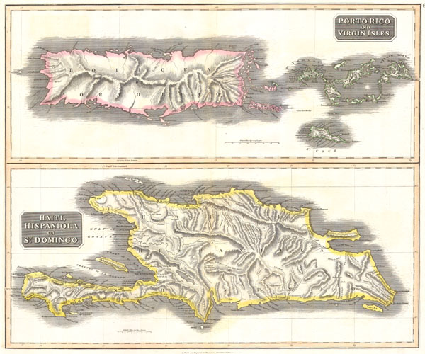
West India Islands. Porto Rico and Virgin Isles. Haiti, Hispaniola or St. Domingo.
sold
- Digital Map Information
- Suitable for large format printing
- Full resolution TIFF file
- ICC color profile embedded
- Delivered instantly via download link
This fascinating hand colored 1814 map by Edinburgh cartographer John Thomson depicts the modern West Indies or Caribbean nations of Porto Rico, the Virgin Islands, Haiti, and the Dominican Republic. Divided into two sections, this is a spectacularly ... (more details)
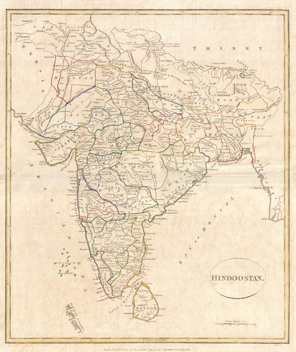
Hindoostan.
sold
- Digital Map Information
- Suitable for large format printing
- DPI: 300
- File Size: 6.45 MB
- File Type: ZIP / TIFF
- ICC color profile embedded
- Delivered instantly via download link
A fine 1799 map India, here labeled Hindoostan, by the English map publisher Clement Cruttwell. Covers the entire subcontinent and is divided into the various princely states. Though there is no specific reference to British dominance in the ... (more details)
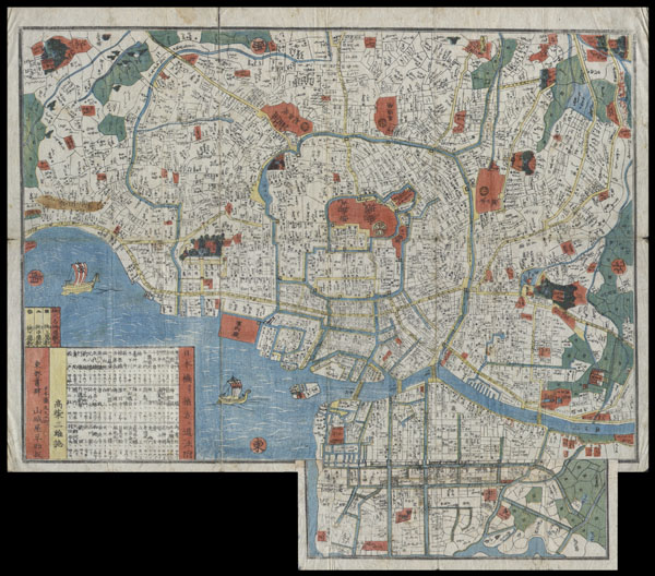
Edo.
sold
- Digital Map Information
- Suitable for large format printing
- Full resolution TIFF file
- ICC color profile embedded
- Delivered instantly via download link
This extraordinary item is a hand colored Edo Period woodcut map of Edo, or Tokyo, Japan. Impressive level detail. This map is in fact a smaller variation on a larger map printed in 1849. Produced in the mid 19th century Japanese woodcut ... (more details)

Europe.
sold
- Digital Map Information
- Suitable for large format printing
- DPI: 300
- File Size: 7.8 MB
- File Type: ZIP / TIFF
- ICC color profile embedded
- Delivered instantly via download link
A fine 1799 map of Europe by the English map publisher Clement Cruttwell. Covers the entire European continent, including an very confusing inset of Greenland, Spitsbergen, and Iceland. Also includes western Russia (Muscovy) and the Black ... (more details)
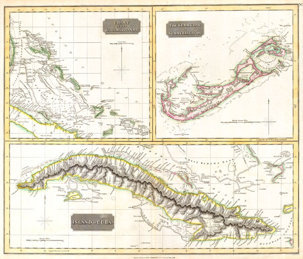
Island of Cuba. / The Bermudas. or Summer Islands. / Chart of the Bahama Islands.
sold
- Digital Map Information
- Suitable for large format printing
- Full resolution TIFF file
- ICC color profile embedded
- Delivered instantly via download link
This fascinating hand colored 1816 map by Edinburgh cartographer John Thomson depicts the modern West Indies or Caribbean nations of The Bahamas, Bermuda and Cuba. Divided into three sections, this is a spectacularly detailed map of this ... (more details)

A correct Chart of the Mediterranean Sea, from the Straits of Gibraltar to the Levant; From the latest and best Observations: for Mr. Tindal’s Continuation of Mr. Rapin’s History..
sold
- Digital Map Information
- Suitable for large format printing
- DPI: 300
- File Size: 6.36 MB
- File Type: ZIP / TIFF
- ICC color profile embedded
- Delivered instantly via download link
A large and attractive hand colored 1745 sea chart of the entire Mediterranean region. Drawn in considerable detail with most ports clearly labeled. Large title cartouche in the lower left quadrant. Rumb lines throughout with a ... (more details)
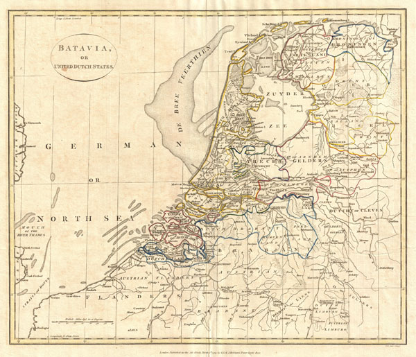
Batavia or United Dutch States.
sold
- Digital Map Information
- Suitable for large format printing
- DPI: 300
- File Size: 7.37 MB
- File Type: ZIP / TIFF
- ICC color profile embedded
- Delivered instantly via download link
A fine 1799 map of Batavia or the United Dutch States (the Netherlands) by the English map publisher Clement Cruttwell. Map is highly detailed, with counties and municipalities outlined. Of note on this particular map are the ... (more details)
Identifies the Sea of Korea.
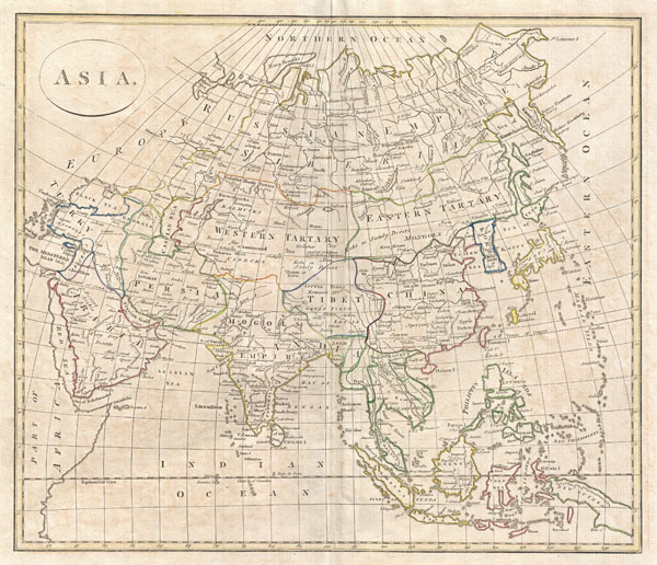
Asia
sold
- Digital Map Information
- Suitable for large format printing
- DPI: 300
- File Size: 9.52 MB
- File Type: ZIP / TIFF
- ICC color profile embedded
- Delivered instantly via download link
A fine 1799 map of Asia by the English map publisher Clement Cruttwell. Cruttwell's map covers the entire continent from Turkey to Japan and from the Arctic to the East Indies. Our survey of this remarkable continental map ... (more details)

Italia in suos Status divisa et ex prototypo del Isliano desumta Elementis insuper Geographiae Schazianis accomodata Curantibus Homannianis Heredibus.
sold
- Digital Map Information
- Suitable for large format printing
- DPI: 300
- File Size: 9.92 MB
- File Type: ZIP / TIFF
- ICC color profile embedded
- Delivered instantly via download link
This is a find decorative map of Italy, Sardinia, Corsica and Sicily by the Homann Heirs. Based on the cartography of Guillaume de Lisle with a few updates and revisions. Depicts the peninsula divided up in to various ... (more details)
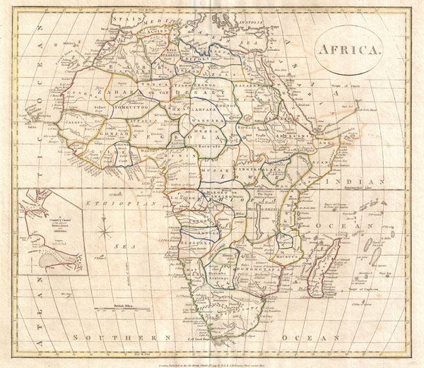
Africa.
sold
- Digital Map Information
- Suitable for large format printing
- DPI: 300
- File Size: 6.94 MB
- File Type: ZIP / TIFF
- ICC color profile embedded
- Delivered instantly via download link
A fine 1799 map of Africa by the English map publisher Clement Cruttwell. Covers the entire region, including a detailed inset of the rivers of Sierra Leone and Sherbro (labeled 'A correct chart of the Rivers Sierra ... (more details)
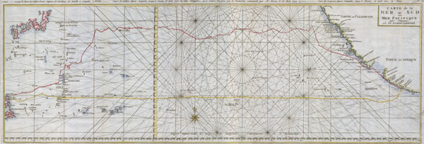
Carte de la Mer du Sud ou Mer Pacifique.
sold
- Digital Map Information
- Suitable for large format printing
- DPI: 300
- File Size: 6.22 MB
- File Type: ZIP / TIFF
- ICC color profile embedded
- Delivered instantly via download link
This is a rare nautical chart of the Pacific ocean by the English map publisher R. W. Seale. Chart depicts the trade routes used by Spanish Galleons from Acapulco, Mexico to Manila in the Philippines. In ... (more details)

Guinea Propria, Nec Non Nigritiae Vel Terrae Nigorum…Aethiopia Inferior…1743.
sold
- Digital Map Information
- Suitable for large format printing
- Full resolution TIFF file
- ICC color profile embedded
- Delivered instantly via download link
One of the finest maps of west Africa to appear in the mid 17th century. Details West Africa from Cape Blanc and Senegal to Guinea Inferior and the Cacongo and Barbela Rivers. Extends inland to including ... (more details)

L'Allemagne, La Boheme, et la Hongarie avec une partie de la Polgne.
sold
- Digital Map Information
- Suitable for large format printing
- Full resolution TIFF file
- ICC color profile embedded
- Delivered instantly via download link
A fine example of Rigobert Bonne and Guilleme Raynal's 1780 map of Central Europe. Roughly covers Europe from the Baltic Sea to the Gulf of Venice and from France to Transylvania and Lithuania. ... (more details)

La Turquie D'Europe Et Celle D'Asie
sold
- Digital Map Information
- Suitable for large format printing
- Full resolution TIFF file
- ICC color profile embedded
- Delivered instantly via download link
A fine example of Rigobert Bonne and Guilleme Raynal's 1780 map of Turkey in Europe and Asia. This map of the Ottoman Empire includes the areas stretching from Italy, Hungary, and modern day ... (more details)
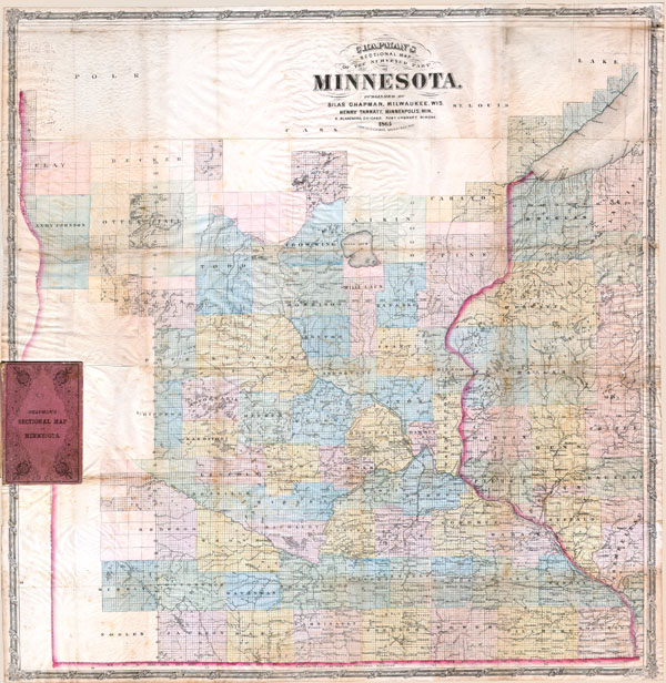
Chapman’s Sectional Map of the Surveyed Part of Minnesota.
sold
- Digital Map Information
- Suitable for large format printing
- File Size: 6.18 MB
- File Type: ZIP / TIFF
- ICC color profile embedded
- Delivered instantly via download link
This historically important pocket map of Minnesota by Silas Chapman was made shortly after the it entered the Union in order to lay out the counties and districts of the new state. Counties ... (more details)
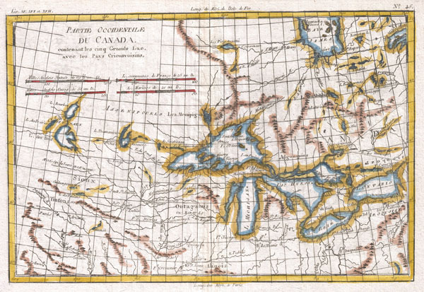
Partie Occidentale Du Canada, Contenant Les Cinq Grands Lac, Avec Les Pays Criconvoisins
sold
- Digital Map Information
- Suitable for large format printing
- DPI: 300
- File Size: 4.3 MB
- File Type: ZIP / TIFF
- ICC color profile embedded
- Delivered instantly via download link
A fine example of Rigobert Bonne and Guilleme Raynal's 1780 map of the Great Lakes and upper Mississippi Valley. A map of considerable importance, this chart was constructed during a period ... (more details)
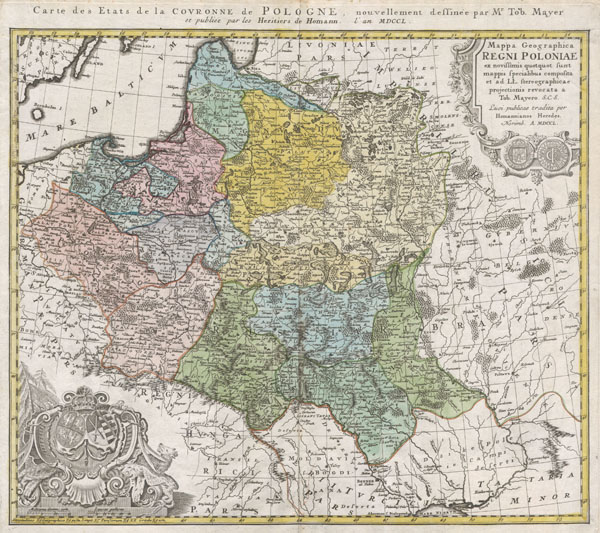
Mappa Geographica Regni Poloniae ex novissimis quotquot sunt mappis specialibus composita et al L.L. Stereographicae projectionis revocata a Tob. Mayero.
sold
- Digital Map Information
- Suitable for large format printing
- DPI: 300
- File Size: 8.08 MB
- File Type: ZIP / TIFF
- ICC color profile embedded
- Delivered instantly via download link
This is one of the Homann Heirs finest and most appealing maps of Poland. Depicts the Poland extending north as far as Latvia, Lithuania, and the Lithuanian Sea and south as far as the ... (more details)