
Hong Kong / Macao
Shows urban development in Hong Kong Victoria, Central, and Kowloon. Extensive manuscript updates!
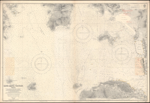
China-South Coast. Hong Kong Waters West.
$3,000.00
Acquire
- Digital Map Information
- Suitable for large format printing
- File Size: 66.09 MB
- File Type: ZIP / TIFF
- ICC color profile embedded
- Delivered instantly via download link
A detailed 1929 British Admiralty nautical chart or maritime map of Hong Kong Harbor and Kowloon. The map covers from eastern Lan Tau Island to Kowloon and from Tsing Yi (青衣, Chung Hue) to Victoria (Hong Kong Central, Sai Wan, Sai Ying Pun, and Sheung Wan. It exhibits copious c. 1930 manuscript updates in the vicinity of Kowloon, including a heavily annotated pastedown. (more details)
Hong Kong issued shortly after the acquisition of Kowloon.
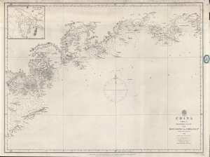
China Sheet II Eastern Coast from Hong Kong to Chelang Pt.
$2,200.00
Acquire
- Digital Map Information
- Suitable for large format printing
- File Size: 21.93 MB
- File Type: ZIP / TIFF
- ICC color profile embedded
- Delivered instantly via download link
A rare 1861 British Admiralty / Richard Collinson nautical map covering the coast of China around Hong Kong. It was issued shortly after the Second Opium War (1856 - 1860) and the British acquisition of Kowloon (which is labeled). (more details)
Rare relief map of Hong Kong.
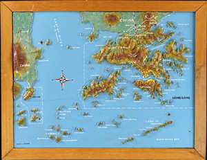
A most curious c. 1975 relief map of Hong Kong created by Chung-to Lo of the Kowloon-based Relief Map Service. Centered on Lan Tao, coverage extends to all of Hong Kong, the New Territories, and Kowloon, reaching as far as Macau, and north to Mount Tung Shan. The map is made of plaster bonded to fiberboard, with a maximum elevation of about 3cm. Topography is precisely hand molded, with terrain, major roads, trains, and placenames hand painted. The map is embraced in its original frame, with the 'Lo Chung To Relief Map Service' placard on the verso. (more details)
Pearl River Watershed.
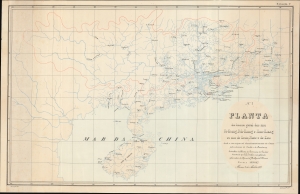
Planta da bacia geral dos rios Si-Kiang, Peh-Kiang e Han-Kiang ou rios do Oeste, Norte e de Este, desde a sua origem até desenbocarem no mar da China pelos estuários de Cantão e do Broadway.
$1,200.00
Acquire
- Digital Map Information
- Suitable for large format printing
- File Size: 488.68 MB
- File Type: ZIP / TIFF
- ICC color profile embedded
- Delivered instantly via download link
This is a remarkable 1884 Portuguese-language Adolfo Ferreira Loureiro map of Guangdong Province (广东; Canton), China, including Hong Kong, Macao, Guangzhou, and the Pearl River Estuary. The map was designed by Loureiro to assist in his engineering commission to control silt build-up in Macao Harbor. It thus focuses on the vast watershed that drains into the Pearl River, and is, as such, among the earliest works to address the complex river system. (more details)
Comprehending Colonial Hong Kong.
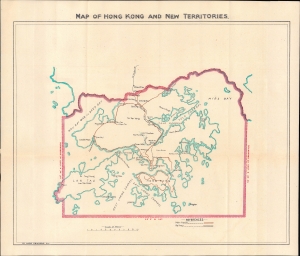
Map of Hong Kong and New Territories.
$1,000.00
Acquire
- Digital Map Information
- Suitable for large format printing
- Full resolution TIFF file
- ICC color profile embedded
- Delivered instantly via download link
A rare and intriguing c. 1930 map of British Hong Kong and associated territories, printed locally by Ye Olde Printerie. (more details)
Macao on the Edge.
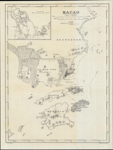
Macao. G.S. G.S., No. 2874.
$850.00
Acquire
- Digital Map Information
- Suitable for large format printing
- File Size: 8.86 MB
- File Type: ZIP / TIFF
- ICC color profile embedded
- Delivered instantly via download link
A scarce World War I-era map of the Portuguese colony of Macao and environs, produced by the British War Office in 1918. (more details)
Waning days of British Hong Kong.
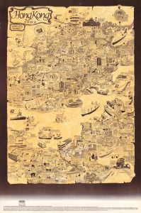
An amusing 1982 pictorial map of Hong Kong by local illustrator and historian Tom Briggs. It highlights the cosmopolitan nature of 'old Hong Kong,' while also, perhaps self-consciously, revealing the chasm between the British elite and the local Chinese who made up most of the city's population. (more details)
The Farthest Frontier of Hong Kong.
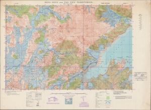
Hong Kong and the New Territories. Sha Tau Kok.
$750.00
Acquire
- Digital Map Information
- Suitable for large format printing
- File Size: 55.91 MB
- File Type: ZIP / TIFF
- ICC color profile embedded
- Delivered instantly via download link
A detailed large-format map of the easternmost portion of the land border between Hong Kong and Shenzhen (then Bao'an County), produced in 1949 by the British War Office. Though a long distance from Hong Kong Island, the border crossing at Sha Tau Kok (or Shatoujiao) has emerged as one of the main crossing points between Hong Kong and the mainland in the past forty years. (more details)
The Western Corridor.
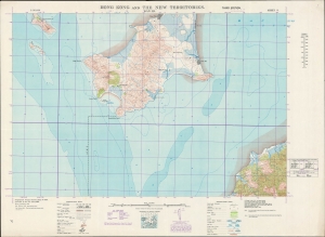
Hong Kong and the New Territories. Wan Ha.
$600.00
Acquire
- Digital Map Information
- Suitable for large format printing
- File Size: 40.61 MB
- File Type: ZIP / TIFF
- ICC color profile embedded
- Delivered instantly via download link
A fascinating and highly detailed 1949 War Office survey map of portions of today's Shenzhen Municipality (then Bao'an County) and the New Territories of Hong Kong. Specifically, it includes the southern half of Shenzhen's Nanshan District and a small part of Hong Kong's Yuen Long District. In recent years, a bridge, highway, and port facilities have made this area one of the main crossing points between Shenzhen and Hong Kong. (more details)
The Eastern Entrance to Victoria Harbour.
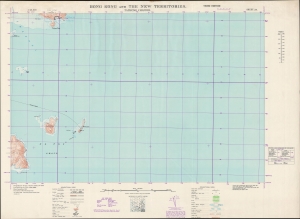
Hong Kong and the New Territories. Tathong Channel.
$500.00
Acquire
- Digital Map Information
- Suitable for large format printing
- File Size: 25.69 MB
- File Type: ZIP / TIFF
- ICC color profile embedded
- Delivered instantly via download link
A large-format 1949 survey map of the coasts, islands, and waters in the Tathong Channel off the eastern coast of Hong Kong Island, produced by the British War Office. (more details)
Hong Kong in the midst of great changes.
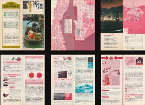
An instructive c. 1975 Japanese-language tourist brochure for Hong Kong and Macao. The maps and information therein reflect the growing cultural and economic ties between Hong Kong and Japan at the time. (more details)
Visit Hong Kong!
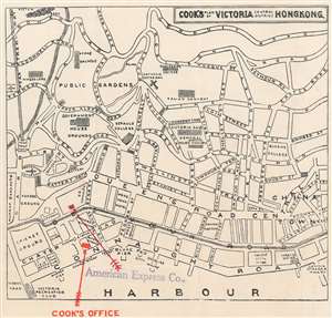
Cook's Plan of Victoria Central District Hong Kong.
$200.00
Acquire
- Digital Map Information
- Suitable for large format printing
- Full resolution TIFF file
- ICC color profile embedded
- Delivered instantly via download link
This is a c. 1933 Thomas Cook city plan or map of Victoria, Central District, Hong Kong. With north at the bottom, the map depicts Victoria from the Peak Tram Station to China Town and the Canton Steamer Wharf and from Conduit Road to the harbor. The Government House, St. Joseph's College, the central police station, and St. Paul's Cathedral rank among the labeled locations. Red overprinting marks the Cook travel agency and the office of the American Express Company. Other labeled buildings include the Hong Kong Hotel, the Hong Kong Club, the telegraph office, and the passport offices. Piers and wharves are labeled along Connaught Road and the Naval Yard appears along the left border not far from Murray Barracks. (more details)