
War Office

The British War Office (1857 - 1964) was a department of the British Government responsible for the administration of the Royal Army until 1964, when its functions were transferred to the Ministry of Defense. The War Office was to the Royal Army what the Admiralty was to the Royal Navy, and later, the Air Ministry. Within the War Office, the General Staff Topographical Section was responsible for thousands of maps issued for British intelligence and military use. The Topographical Section was renamed Geographical Section in April 1907. Many, once their military use passed, were offered through licensed agents to the general public. The sole London agent for War Office material was Edward Stanford.
African-American Creoles in Britain's Atlantic Empire.
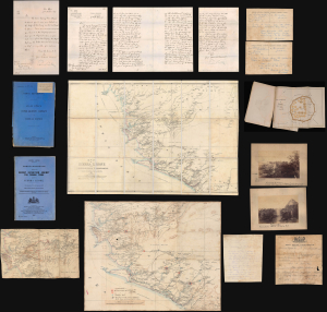
A remarkable find, this is an archive of maps, intelligence documents, and correspondence produced by the British War Office and Sir Francis de Winton relating to the 1887 Yoni Expedition in Sierra Leone, which de Winton led. This war had profound implications for the futures of freed African-American slaves settling in Freetown. The British launched this punitive military campaign against the Yoni to protect allied tribes in Sierra Leone's interior. Though a minor colonial conflict, the Yoni Expedition had wider significance as part of the 'Scramble for Africa'. Moreover, it included the British 1st West India Regiment, composed of descendants of enslaved people from Britain's North American colonies, including those who had joined the British during the American Revolution. (more details)
The Foundation for British Rule in East Africa.
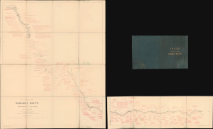
Rough Road Chart of Sabakhi Route from Makangeni to Machagos.
$2,500.00
Acquire
- Digital Map Information
- Suitable for large format printing
- Full resolution TIFF file
- ICC color profile embedded
- Delivered instantly via download link
This rare 1890 map of Kenya illustrates Frederick Lugard's first expedition along the Sabaki River between Mombasa and Machakos. The expedition and Lugard's subsequent public pressure campaign were important steps in establishing a British 'sphere of influence' and, eventually, protectorates over Kenya (British East Africa) and Uganda. (more details)
The only railroad built in tropical Africa during the 'Scramble for Africa'.
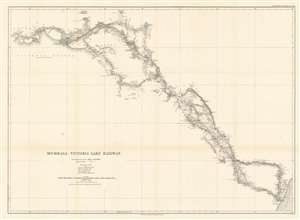
Mombasa - Victoria Lake Railway.
$650.00
Acquire
- Digital Map Information
- Suitable for large format printing
- File Size: 23.19 MB
- File Type: ZIP / TIFF
- ICC color profile embedded
- Delivered instantly via download link
This is an 1893 Royal Geographical Society map of the Mombasa-Lake Victoria Railway in modern-day Kenya. The map details the early planning and construction stages of one of the worlds more infamous and loved heritage railroads, the famed 'Lunatic Line'. Parts of the railroad still run. (more details)
Settling the Borders of British Nigeria.
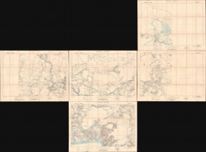
Lake Chad / Nikki / Central Nigeria. / Yola / Cross River.
$1,500.00
Acquire
- Digital Map Information
- Suitable for large format printing
- Full resolution TIFF file
- ICC color profile embedded
- Delivered instantly via download link
A concurrent set of five folding sheets, together forming a map covering central and eastern Nigeria, produced by the Intelligence Division of the British War Office in 1902 (with one map being dated 1905). The maps cover this region as it was roiled by opposition to British encroachments and was being negotiated over between the British and Germans, who controlled the neighboring colony of Kamerun. (more details)
One of the last frontiers in the Scramble for Africa.
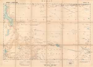
Boran.
$800.00
Acquire
- Digital Map Information
- Suitable for large format printing
- Full resolution TIFF file
- ICC color profile embedded
- Delivered instantly via download link
This is a 1903 British Ordnance Survey / War Office folding map of Boran, today the northeastern portion of Kenya bordering Ethiopia and Somalia. It was made during the 'Scramble for Africa,' when European colonial powers rushed to occupy and claim territory. However, the harsh climate and resistance of local pastoralists to outside rule meant the region long remained a distant frontier to imperial powers. (more details)
British Plan to 'Link India and the Yangtze.'
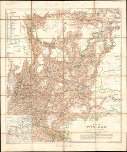
Map of Yün-nan. Topographical Section General Staff, No. 2112.
$2,750.00
Acquire
- Digital Map Information
- Suitable for large format printing
- File Size: 69.49 MB
- File Type: ZIP / TIFF
- ICC color profile embedded
- Delivered instantly via download link
This large folding map of Yunnan Province, China, was prepared by British military officer H. R. Davies in 1906 for the War Office. It was the culmination of years of travel and research by Davies, aimed in particular at planning a British railway to Yunnan that could compete with the French Kunming-Haiphong Railway, then under construction. Davies' map represented a major advancement in the cartography of Yunnan at a time when the province was being eyed by both the British and French as an entry point into China and a link with their wider Asian empires. (more details)
First scientific survey of Lesotho.
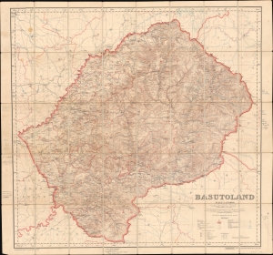
Basutoland.
$1,500.00
Acquire
- Digital Map Information
- Suitable for large format printing
- File Size: 107.15 MB
- File Type: ZIP / TIFF
- ICC color profile embedded
- Delivered instantly via download link
Considered the first trigonometric survey of Lesotho, this 1911 map was published by the British War Office after the work of Captain M.C. Dobson. The map is the product of a singular effort carried out single-handedly by Dobston between 1904 and 1909. It features extensive manuscript additions and annotations by the important British military historian Geoffrey Tylden, who owned the map and likely used it in his research. The fact that Tylden was using this map nearly 50 years after its production underscores both its accuracy and longevity. (more details)
Best map of the region, used by both sides in WWI.
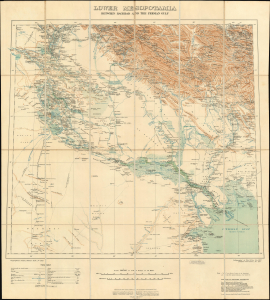
Lower Mesopotamia Between Baghdad and the Persian Gulf.
$2,500.00
Acquire
- Digital Map Information
- Suitable for large format printing
- Full resolution TIFF file
- ICC color profile embedded
- Delivered instantly via download link
This is a 1915 edition of the British War Office map of Lower Mesopotamia, the authoritative map of Central and Southern Iraq, Kuwait, and Khuzestan (Iran). This map was first issued in 1907, at which time it was considered the most accurate regional map. This edition, updated to 1915, was used by both sides in World War I (1914 - 1918). (more details)
An Abortive Attack on Baghdad.
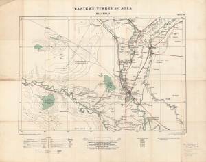
Eastern Turkey in Asia. Baghdad. Sheet 39.
$1,500.00
Acquire
- Digital Map Information
- Suitable for large format printing
- Full resolution TIFF file
- ICC color profile embedded
- Delivered instantly via download link
A large and important 1915 map of the region around Baghdad, then part of the Ottoman Empire, produced by the British Ordnance Survey and War Office. At this time, the region south of Baghdad was contested by British and Ottoman forces as part of the Mesopotamia Campaign of World War I (1914 - 1918). The map is also significant for being the first printed map to show the Baghdad-Tikrit Railway, part of the larger planned Berlin-Baghdad Railway. (more details)
Macao on the Edge.
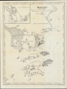
Macao. G.S. G.S., No. 2874.
$850.00
Acquire
- Digital Map Information
- Suitable for large format printing
- File Size: 8.86 MB
- File Type: ZIP / TIFF
- ICC color profile embedded
- Delivered instantly via download link
A scarce World War I-era map of the Portuguese colony of Macao and environs, produced by the British War Office in 1918. (more details)
Mapping southern Syria for the International Map of the World.
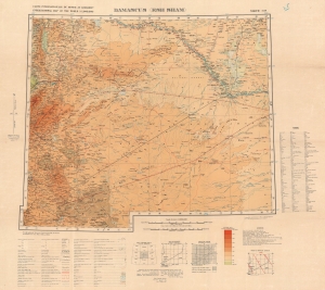
Carte Internationale du Monde au 1,000,000 International Map of the World 1 : 1,000,000 Damascus (Esh Sham) North I-37.
$200.00
Acquire
- Digital Map Information
- Suitable for large format printing
- File Size: 44.13 MB
- File Type: ZIP / TIFF
- ICC color profile embedded
- Delivered instantly via download link
This is a 1935 British War Office edition of the Damascus sheet of the International Map of the World. The International Map of the World was a multi-national effort initiated in the early 20th century to create a uniform large-scale map of the world. Although the effort ultimately floundered and was left incomplete, many individual sheets were prepared, this being the Damascus sheet. (more details)
Mapping central Iraq as part of the International Map of the World.
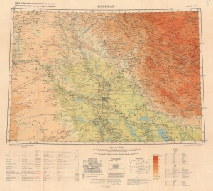
Carte Internationale du Monde au 1,000,000 International Map of the World 1 : 1,000,000 Baghdad North I-38.
$200.00
Acquire
- Digital Map Information
- Suitable for large format printing
- File Size: 45.83 MB
- File Type: ZIP / TIFF
- ICC color profile embedded
- Delivered instantly via download link
This is a 1935 British War Office edition of the Baghdad sheet of the International Map of the World. The International Map of the World was a multi-national effort initiated in the early 20th century to create a uniform large-scale map of the world. Although the effort ultimately floundered and was left incomplete, many individual sheets were prepared, this being the Baghdad sheet. (more details)
First city in Germany captured by the Allies.
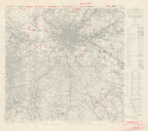
Aachen. German Defences Prepared by First U.S. Army APID. Sheet 5202.
$3,500.00
Acquire
- Digital Map Information
- Suitable for large format printing
- File Size: 21.43 MB
- File Type: ZIP / TIFF
- ICC color profile embedded
- Delivered instantly via download link
This is an October 1944 First U.S. Army military situation map of Aachen, Germany, illustrating the defenses around the city as observed from aerial photography. This map was produced only days before the soldiers of the U.S. Army stormed the city and, after three weeks, successfully captured the city from the Germans. Aachen was a strategically important city, but it held greater significance from a psychological perspective. The Holy Roman Emperor Charlemagne was born in Aachen, and Hitler and the Nazis referred to the Holy Roman Emperor as the First Reich. (Hitler referred to his empire as the Third Reich, thus creating a direct line between his regime and the Holy Roman Empire.) Aachen was the first city in Germany captured by the Allies, and this blow must have weighed heavily on Hitler's mind. (more details)
Last Days of Japan's Occupation of Hong Kong
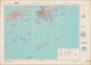
Hong Kong and Lema Islands. South Sheet. Second Edition - AMS 3.
$1,500.00
Acquire
- Digital Map Information
- Suitable for large format printing
- Full resolution TIFF file
- ICC color profile embedded
- Delivered instantly via download link
This is a 1945 Army Map Service map of Hong Kong, produced in the closing days of World War II. By this time, Hong Kong had suffered through nearly four years of starvation and oppression under Japanese occupation. (more details)
Advancing to the Rhine.
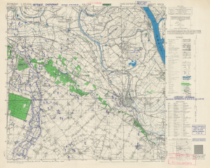
Germany 1:25,000 Sheet No. 4203 Defence Overprint 6 Feb. 1945.
$900.00
Acquire
- Digital Map Information
- Suitable for large format printing
- Full resolution TIFF file
- ICC color profile embedded
- Delivered instantly via download link
This is a February 1945 World War II (1939 - 1945) Defence Overprint map of eastern Germany, illustrating the town of Kalkar (Calcar) and its immediate vicinity. Published on February 6, 1945, this map was part of the planning for Operation Blockbuster, the final Allied offensive in the Rhineland. (more details)
Supplying the Soviet War Effort.
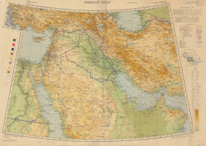
Persian Gulf. Asia Sheet 32 (1/M North F-J 36-40). M.D.R. 533/12035.
$1,500.00
Acquire
- Digital Map Information
- Suitable for large format printing
- Full resolution TIFF file
- ICC color profile embedded
- Delivered instantly via download link
This is a 1945 British War Office map of the Middle East, produced in the later stages of World War II (1939 - 1945). Among other features, it reflects improvements in rail and road infrastructure in Iran, which the Allies arranged to facilitate the ferrying of Lend-Lease supplies to the Soviet Union. (more details)
The Western Corridor.
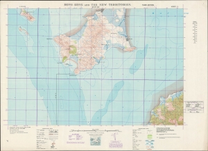
Hong Kong and the New Territories. Wan Ha.
$600.00
Acquire
- Digital Map Information
- Suitable for large format printing
- File Size: 40.61 MB
- File Type: ZIP / TIFF
- ICC color profile embedded
- Delivered instantly via download link
A fascinating and highly detailed 1949 War Office survey map of portions of today's Shenzhen Municipality (then Bao'an County) and the New Territories of Hong Kong. Specifically, it includes the southern half of Shenzhen's Nanshan District and a small part of Hong Kong's Yuen Long District. In recent years, a bridge, highway, and port facilities have made this area one of the main crossing points between Shenzhen and Hong Kong. (more details)
The Farthest Frontier of Hong Kong.
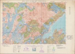
Hong Kong and the New Territories. Sha Tau Kok.
$750.00
Acquire
- Digital Map Information
- Suitable for large format printing
- File Size: 55.91 MB
- File Type: ZIP / TIFF
- ICC color profile embedded
- Delivered instantly via download link
A detailed large-format map of the easternmost portion of the land border between Hong Kong and Shenzhen (then Bao'an County), produced in 1949 by the British War Office. Though a long distance from Hong Kong Island, the border crossing at Sha Tau Kok (or Shatoujiao) has emerged as one of the main crossing points between Hong Kong and the mainland in the past forty years. (more details)
Shenzhen, in the Old Days.
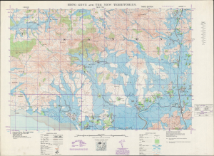
Hong Kong and the New Territories. Sha Tau.
$850.00
Acquire
- Digital Map Information
- Suitable for large format printing
- Full resolution TIFF file
- ICC color profile embedded
- Delivered instantly via download link
A 1949 British War Office topographic map of a portion of the border between Hong Kong and Bao'an County, today's Shenzhen Municipality. The bottom portion of the map includes the border between Hong Kong's New Territories and mainland China, which took on new significance with the establishment of the People's Republic of China the same year this map was produced. (more details)
The Eastern Entrance to Victoria Harbour.
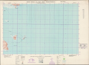
Hong Kong and the New Territories. Tathong Channel.
$500.00
Acquire
- Digital Map Information
- Suitable for large format printing
- File Size: 25.69 MB
- File Type: ZIP / TIFF
- ICC color profile embedded
- Delivered instantly via download link
A large-format 1949 survey map of the coasts, islands, and waters in the Tathong Channel off the eastern coast of Hong Kong Island, produced by the British War Office. (more details)
Foxconn City.
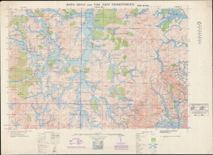
Hong Kong and the New Territories. Tsing Wu.
$750.00
Acquire
- Digital Map Information
- Suitable for large format printing
- File Size: 51.75 MB
- File Type: ZIP / TIFF
- ICC color profile embedded
- Delivered instantly via download link
A 1949 British War Office survey map of a portion of Bao'an County, today's Shenzhen, a megacity on the border of Hong Kong that has emerged in the past forty years. This area, the heart of the mainland Chinese operations of the multinational corporation Foxconn, has been completely transformed and is today virtually unrecognizable from the scattered villages and fields depicted here. (more details)