
Buache, Phillipe
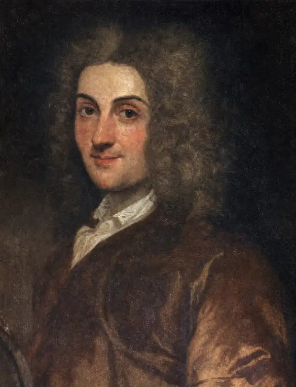
Phillipe Buache (February 7, 1700 - January 24, 1773) was a late 18th-century French cartographer and map publisher. Buache began his cartographic career as the workshop assistant and apprentice to the important and prolific cartographer Guillaume de L'Isle (1685 - 1726). Upon De L'Isle's untimely death, Buache took over the publishing firm, cementing the relationship by marrying De L'Isle's daughter. Over the years, Buache republished many of De L'Isle's maps and charts. Buache was eventually appointed Premier Geographe du Roi, a position created for and previously held by Guillaume de L'Isle. Buache is most respected for introducing hachuring as a method for displaying underwater elevation on a two-dimensional map surface. Buache compiled maps based upon geographic knowledge, scholarly research, the journals of contemporary explorers and missionaries, and direct astronomical observation. Nevertheless, even in 18th-century Paris, geographical knowledge was severely limited - especially regarding those unexplored portions of the world, including the poles, the Pacific northwest of America, and the interior of Africa and South America. In these areas, Buache, like his primary rival Robert de Vaugondy (fl. c. 1716 - 1786), must be considered a speculative geographer or 'positive geographer'. Speculative geography was a genre of mapmaking that evolved in Europe, particularly Paris, in the middle to late 18th century. Cartographers in this genre filled in unknown areas on their maps with speculations based on their vast knowledge of cartography, personal geographical theories, and often dubious primary source material gathered by explorers and navigators. This approach, which attempted to use the known to validate the unknown, naturally engendered many rivalries. Buache's feuds with other cartographers, most specifically Didier Robert De Vaugondy, resulted in numerous conflicting papers being presented before the Académie des Sciences, of which both were members. The era of speculative cartography effectively ended with the late 18th-century explorations of Captain Cook, Jean-François de Galaup de La Perouse, and George Vancouver. Buache was succeeded by his nephew Jean-Nicholas Buache de Neuville (1741 - 1825).
One of the best French maps of Hispaniola.
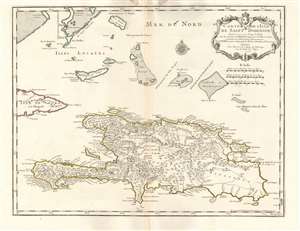
Carte de l'Isle de Saint Domingue.
$650.00
Acquire
- Digital Map Information
- Suitable for large format printing
- Full resolution TIFF file
- ICC color profile embedded
- Delivered instantly via download link
This is a 1745 Phillipe Buache edition of Guillaume De l'Isle's beautifully engraved 1725 map of the island of Hispaniola or Saint Domingue, modern-day Haiti and the Dominican Republic. It is considered one of the best and most detailed maps of the island if its generation. (more details)
Lovely Lake Geneva, with a city plan.
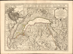
Carte du Lac de Genève et des Pays Circonvoisins...
$750.00
Acquire
- Digital Map Information
- Suitable for large format printing
- DPI: 600
- File Size: 41.06 MB
- File Type: ZIP / TIFF
- ICC color profile embedded
- Delivered instantly via download link
This beautiful engraving is Philippe Buache's 1740 map of Lake Geneva and environs, covering the northwestern end of the European Alpine region that today straddles the border between France and Switzerland. (more details)
An early effort to map the sea floor, focusing on the English Channel.
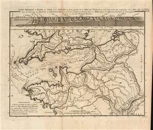
Carte physique et profil du canal de la Manche et d'une partie de la Mer du Nord...
$750.00
Acquire
- Digital Map Information
- Suitable for large format printing
- Full resolution TIFF file
- ICC color profile embedded
- Delivered instantly via download link
This is a beautiful, rare 1752 Philippe Buache map of the English Channel, showing the coast of France (from the mouth of the Loire to the Low Countries and the mouth of the Rhine) and the entire southern coast of England. The map includes depth soundings for the Channel, and is accompanied by a cross-section chart of the whole of the Channel comparing the 'supposed' depth of the Channel with its actual, measured depth. The map is notable for its early use of isobaths - lines showing depth contours of the ocean floor. Although not the first appearance of this technique (likely this was Luigi Ferdinando Marsigli's 1725 map of the Gulf of Lion), Buache's is among the first acquirable maps demonstrating the technique. (more details)
Advocating for a Northwest Passage.
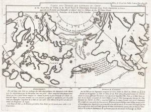
Carte Des Terres aux environs du Japon ou du Nord-Est de l'Asie et du Nord-Ouest de l'Amerique Extraite d'une Carte Japonnoise de l'univer apportee en Europe par Kaempfer et depose dans le Cabinet de feu Mr. Hans-Sloane President de la Societe Rle. de Londres.
$900.00
Acquire
- Digital Map Information
- Suitable for large format printing
- Full resolution TIFF file
- ICC color profile embedded
- Delivered instantly via download link
This is a rare 1758 map related to the Phillipe Buache / Robert de Vaugondy debate at the Paris Académie des Sciences over the cartographic configuration of the Pacific polar regions. This map was prepared for publication with Buache's Considerations Geographiques. (more details)
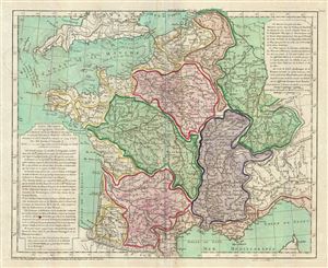
Carte Physique de ou Geographie Naturelle de la France, divisee par Chaines de Montagnes et aussi par Terreins de Fleuves et Rivieres.
$300.00
Acquire
- Digital Map Information
- Suitable for large format printing
- DPI: 300
- File Size: 13.6 MB
- File Type: ZIP / TIFF
- ICC color profile embedded
- Delivered instantly via download link
A scarce 1770 physical map of France by Philippe Buache. The map covers all of France highlighting the various river basins, including Rhine, Rhone, Meuse, Seine, Loire, Garonne, and its coastal basins. Various rivers, mountain ranges, gulfs, lakes, plateaus and ... (more details)
Search for a Northeast Passage.
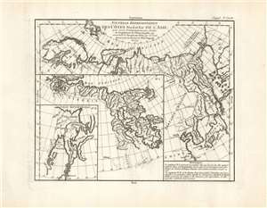
Nouvelle représentation Des Côtes Nord et Est de l'Asie pour servir d'éclaircissement aux Articles du Supplement de L'Encyclopédie qui concernent le passage aux Indes par le Nord.
$400.00
Acquire
- Digital Map Information
- Suitable for large format printing
- Full resolution TIFF file
- ICC color profile embedded
- Delivered instantly via download link
This is the 1772 Robert de Vaugondy map of Siberia, Kamchatka, and the northeastern extremes of Asia. The map is the third of ten maps Robert de Vaugondy supplied for Diderot's Encyclopédie. This seminal map series, exploring the mapping of North America, Asia, and specifically the Northwest and Northeast Passages, was one of the first studies in comparative cartography. As its title suggests, this map was intended to clarify the articles in the Encyclopédie that pertained to European efforts to discover a viable northeast passage to the East Indies. The Northeast Passage, much like America's Northwest Passage, was a long sought after sea route through the Arctic that would save European merchantmen the expense of rounding Africa in order to access the trade riches of East Asia. (more details)
Speculating on a Northwest Passage and a Sea of the West.
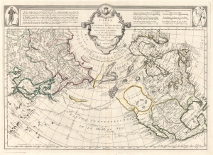
Carte Des Nouvelles Decouvertes au Nord de la Mer de Sud, tant a l'Est de la Syberie et du Kamtchatka, qu'a L'Ouest de la Nouvelle France.
$1,700.00
Acquire
- Digital Map Information
- Suitable for large format printing
- DPI: 600
- File Size: 29.72 MB
- File Type: ZIP / TIFF
- ICC color profile embedded
- Delivered instantly via download link
The 1776 Francois Santini Venice edition of Joseph Nicolas De l'Isle's extraordinary 1752 map of North America, Siberia, the Arctic, and the North Pacific. The map is a study in contrasts, setting J. N. De L'Isle's accurate mapping of the Asian northeast based on data absconded from the Russian 'Academy of Sciences', against J. N. Buache's speculations on the feasibility of a Northwest Passage. Among other points, this map is significant for reviving the 'Sea of the West' hypothesis, and must be considered one of the most influential maps of the region issued in the mid-18th century. (more details)
Golden Age of Caribbean piracy.
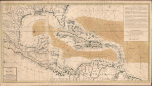
Carte du Golphe du Mexique et des Isles Antilles.
$2,000.00
Acquire
- Digital Map Information
- Suitable for large format printing
- Full resolution TIFF file
- ICC color profile embedded
- Delivered instantly via download link
A fine example of the 1780 Dezauche edition of Buache's important nautical map of the Caribbean, Gulf of Mexico, Florida, and West Indies at the end of the Golden Age of Caribbean Piracy. (more details)
Pioneering Effort in Oceanic geography.
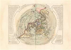
Planisphere Physique.
$1,200.00
Acquire
- Digital Map Information
- Suitable for large format printing
- DPI: 600
- File Size: 53.17 MB
- File Type: ZIP / TIFF
- ICC color profile embedded
- Delivered instantly via download link
A fascinating and beautiful c. 1781 Philippe Buache map of the world, presented on an unusual north polar projection. This is the first work to attempt to map the ocean floor - a revolutionary work connecting undersea with surface geography. Although Buache's submarine geography was speculative at best, the work is a landmark achievement in its attempt to illustrate and scientifically assess the unknowable oceanic depths. (more details)
Pioneering Effort in Oceanic geography.
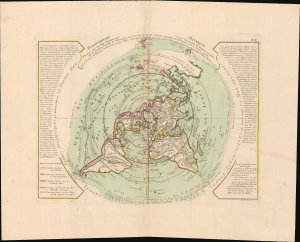
Planisphere Physique.
$1,200.00
Acquire
- Digital Map Information
- Suitable for large format printing
- File Size: 42.7 MB
- File Type: ZIP / TIFF
- ICC color profile embedded
- Delivered instantly via download link
A fascinating and beautiful 1781 Philippe Buache map of the world, presented on an unusual polar projection rendered from the North Pole. This is the first work to attempt to map the ocean floor - a revolutionary work connecting submarine with surface geography. Although Buache's geography was speculative at best, the work is a landmark achievement in its attempt to illustrate and scientifically assess the unknowable oceanic depths. (more details)
Pioneering submarine geography.
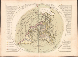
Planisphere Physique.
$1,200.00
Acquire
- Digital Map Information
- Suitable for large format printing
- Full resolution TIFF file
- ICC color profile embedded
- Delivered instantly via download link
A striking 1781 Philippe Buache map of the world, presented on an unusual polar projection rendered from the North Pole. This is the first work to attempt to map the ocean floor - a revolutionary work connecting submarine with surface geography. Although Buache's geography was speculative at best, the work is a landmark achievement in its attempt to illustrate and scientifically assess the unknowable oceanic depths. (more details)
First of this series to recognize the United States.
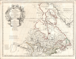
Carte du Canada Qui Comprend la Partie Septentrionale des Etats Unis D'Amerique.
$1,200.00
Acquire
- Digital Map Information
- Suitable for large format printing
- File Size: 30.38 MB
- File Type: ZIP / TIFF
- ICC color profile embedded
- Delivered instantly via download link
This is the 1783 Dezauche issue of Guillaume de l'Isle's map of Canada and the Northern United States. Published after the close of the American Revolutionary War (1775 - 1783), this is one of the first French maps to formally recognize the United States. (more details)
Revised to Increase Accuracy and Avoid Beheading.
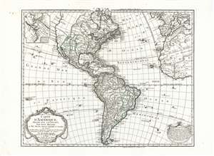
Carte D'Amerique Dressée Pour L'Instruction, Par Guil. Delisle Et Phil. Buache, Premiere Geographe de l'Academie des Sciences. Nouvellement Revue, Augmentée et Assujetie aux N.les Observations Astronomiques et Mrs. de l'Academie des Sciences. Par Dezauche Géographe, Successeur des Sr. Delisle et Phil. Buache. A Paris chez l'Auteur Rue des Noyers. Garantie Nationale An 9. 1800.
$750.00
Acquire
- Digital Map Information
- Suitable for large format printing
- Full resolution TIFF file
- ICC color profile embedded
- Delivered instantly via download link
This is Jean-Claude Dezauche's 1785 map of the Western Hemisphere, here in a superb example of its 1800 revision. While the map has its basis in the similarly titled map first printed in 1722 by De l'Isle, Dezauche did not use the plate inherited from De l'Isle's heir Buache. The map was re-drawn and re-engraved for its 1785 issue, and would be further amended in subsequent printings. (more details)