
Faden, William
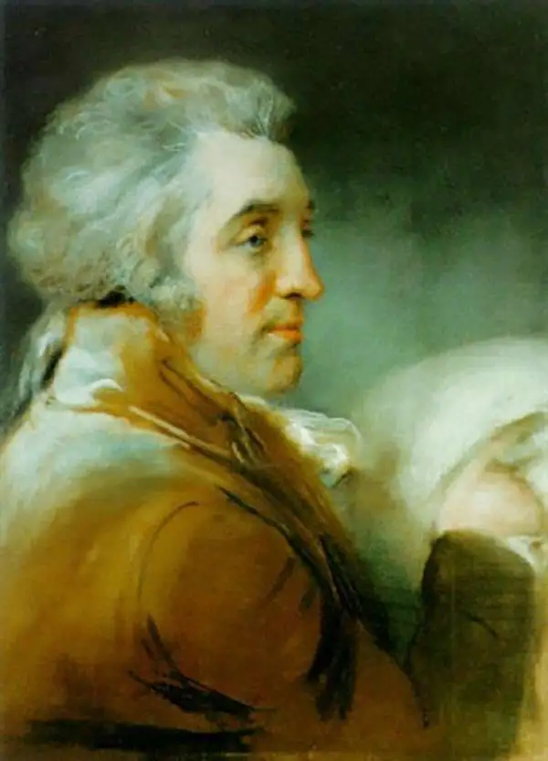
William Faden (July 11, 1749 - March 21, 1836) was a Scottish cartographer and map publisher of the late 18th century. Faden was born in London. His father, William MacFaden, was a well-known London printer and publisher of The Literary Magazine. During the Jacobite Rebellion (1745 - 1746), MacFaden changed his family name to Faden, to avoid anti-Scottish sentiment. Faden apprenticed under the engraver James Wigley (1700 - 1782), attaining his freedom in 1771 - in the same year that Thomas Jefferys Sr. died. While Thomas Jefferys Sr. was an important and masterful mapmaker, he was a terrible businessman, and his son, Jefferys Jr., had little interest in building on his father's legacy. MacFaden, perhaps recognizing an opportunity, purchased his son a partnership in the Jefferys firm, which subsequently traded as 'Faden and Jefferys'. Jefferys Jr. also inherited Jefferys Sr.'s title, 'Geographer to the King and to the Prince of Wales'. With little interest in cartography or map publishing, Jefferys Jr. increasingly took a back seat to Faden, and by 1776, he had withdrawn from day-to-day management, although he retained his financial stake. The American Revolutionary War (1775 - 1783) proved to be a boom for the young 'Geographer to the King', who leveraged existing materials and unpublished manuscript maps to which he had access via his official appointment to publish a wealth of important maps, both for official use and the curious public - this period of prosperity laid the financial underpinning for Faden, who by 1783, at the end of the war, acquired full ownership of the firm and removed the Jefferys imprint. In 1801, he engraved and published the first maps for the British Ordnance Survey. By 1822, Faden published over 350 maps, atlases, and military plans. He retired in 1823, selling his plates to James Wyld Sr. Faden died in 1836.
Legendary 'Lost' Cook Chart.
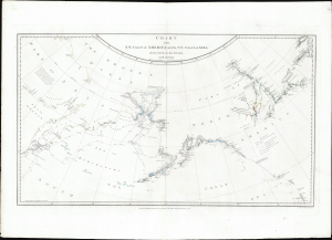
Chart of the N.W. Coast of America and the N.E. Coast of Asia, Explored in the Years 1778 and 1779.
$8,500.00
Acquire
- Digital Map Information
- Suitable for large format printing
- File Size: 17.45 MB
- File Type: ZIP / TIFF
- ICC color profile embedded
- Delivered instantly via download link
This is the suppressed 1784 first edition of Henry Roberts and Captain James Cook's legendary 'Lost Map', issued separately by London publisher William Faden. This is the first map to illustrate the discoveries of Samuel Herne on the Coppermine River. The chart was censured due to the political machinations of the powerful Hudson Bay Company, which had a sustained interest in keeping Herne's voyage secret as it disproved the notion that an inland water route might connect the Hudson Bay with the Pacific, thus threatening the HBC's stock value. (more details)
Iconic wall sized map of India chronicling the British military campaign in the subcontinent against Tipu Sultan of Mysore.
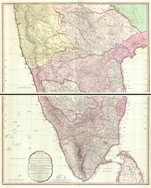
A Map of the Peninsula of India from the 19th Degree North Latitude to Cape Comorin.
$950.00
Acquire
- Digital Map Information
- Suitable for large format printing
- DPI: 300
- File Size: 34.75 MB
- File Type: ZIP / TIFF
- ICC color profile embedded
- Delivered instantly via download link
This is James Rennell's magnificent mapping of the Indian subcontinent, one of the largest and most impressive maps of India to appear in the 18th century. Highly desirable third edition. Presented in two panels, as issued. This chart depicts the subcontinent ... (more details)
Rare English edition of a Rarer Spanish Chart.
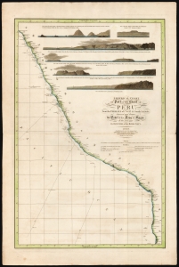
Spherical chart of part of the coast of Peru, from the Parallel of 7.° to 21.° 45.' South Latititude; Surveyed and Drawn by Order of the King of Spain in the year 1790, By Officers of the Royal Navy.
$950.00
Acquire
- Digital Map Information
- Suitable for large format printing
- Full resolution TIFF file
- ICC color profile embedded
- Delivered instantly via download link
This beautiful, rare nautical map of the coast of Peru was printed in 1805 by William Faden. It is based on the elusive chart of Felipe Bauzá y Cañas, who attended the Alexandro Malaspina Expedition (1789 - 1794) on its 1790 exploration of this coast. (more details)
Proto-State of Franklin and the colony of New Iberia (Morgania).
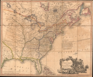
The United States of North America: with the British Territories and Those of Spain.
$6,500.00
Acquire
- Digital Map Information
- Suitable for large format printing
- Full resolution TIFF file
- ICC color profile embedded
- Delivered instantly via download link
This is Faden's 1808 map of the United States, representing the new nation as it was struggling to resolve issues of state vs. federal sovereignty, land rights, American Indian relations, domestic and foreign speculators, and frontier opportunism. It includes the ephemeral proto-state of Franklinia and the colony of New Iberia. (more details)
Largest and Best Map of Lower Canada after the War of 1812.
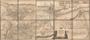
To His Royal Highness George Augustus Frederick, Prince of Wales, Duke of Cornwall ... and Prince Regent of the United Kingdom of Great Britain and Ireland; this Topographical map of the Province of Lower Canada, shewing its division into Districts, Counties, Seigniories, and Townships with all the Lands reserved both for the Crown and the Clergy ... Is with his Royal Hyghnes's Special Permission, Most gratefully dedicated by a Faithful and Zealous Canadian Subject, and His Royal Highnes's Most Obedient and Devoted Servant, Joseph Bouchette, His Majesty's Surveyor General of the Province and Lieutt. Colonel C.M.
$25,000.00
Acquire
- Digital Map Information
- Suitable for large format printing
- File Size: 317.57 MB
- File Type: ZIP / TIFF
- ICC color profile embedded
- Delivered instantly via download link
This is Joseph Bouchette's monumental 10-sheet map of Lower Canada. Appearing at the end of the War of 1812, this is the largest, best, and most influential map of Canada issued in the 19th century. David Rumsey correctly praises it, saying that the 'graphic elegance of the large map is the equal (or perhaps the superior) of any of the contemporary maps that I have seen'. In its pre-publication manuscript form, it played a significant role in the Treaty of Ghent, which ended the War of 1812 and began the establishment of formal U.S.-Canada borders. Due to its extreme rarity, the significance of this map is often overlooked, and it is poorly represented in scholarly literature. (more details)