
Gerdes, Ferdinand H. (sold)

Ferdinand H. Gerdes (September 15, 1809 - June 27, 1884) was one of the most active members of the U.S. Coast Survey team. His most important work includes several surveys of New York Harbor as well as detailed surveys of Florida, the Gulf Coast, and up the Mississippi River. Gerdes was born in Hanover, Germany (Prussia) and relocated to the United States sometime before 1836, when he joined he fledgling U.S. Coast Survey as an Sub-assistant under Hassler. From 1841 - 1844 he surveyed the New Jersey, Maryland, Delaware Bay Region. In 1844 he was assigned to the Gulf Coast, where he produced his most important and pioneering work. During the American Civil War, like most of the members of the Coast Survey, Gerdes was strongly pro-Union and worked diligently during the Civil War to provide Union commanders accurate surveying and cartographic materials. Gerdes is known to have commanded the ‘Sachem' and, during the Civil War, was heavily engaged with Union efforts to map and ultimately control, the Mississippi River. Following the war he produced detailed surveys of the Passes of the Mississippi. His health and age catching up on him, Gerdes retired to New York, where he completed additional surveys of long island as late as 1883, a year before his death.
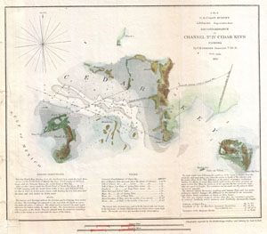
G N. 2 U.S. Coast Survey . . . Reconnaissance of Channel No. IV Cedar-Keys Florida.
sold
- Digital Map Information
- Suitable for large format printing
- DPI: 300
- File Size: 2.96 MB
- File Type: ZIP / TIFF
- ICC color profile embedded
- Delivered instantly via download link
This is an important 1852 U.S. Coast Survey mapping of Cedar Key. Following the Seminole Wars, the government pushed for settlement of Florida and increased harvesting of its many natural resources. Cedar Key, situated on the Florida coast between Tampa and ... (more details)
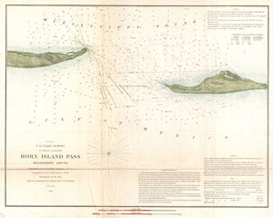
H No. 4 Horn Island Pass Mississippi Sound
sold
- Digital Map Information
- Suitable for large format printing
- Full resolution TIFF file
- ICC color profile embedded
- Delivered instantly via download link
A very nice example of the U.S. Coast Survey's 1852 chart or map of the Horn Island Pass. Depicts the East End of Horn Island and the West End of Petit Bois Island with Horn Island Pass running between the two. Horn Island Pass offers an exceptionally ... (more details)
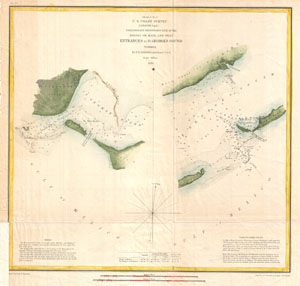
(Sketch G No. 2) Preliminary Reconnaissance of the Middle or Main, and West Entrances to St. George's Sound, Florida.
sold
- Digital Map Information
- Suitable for large format printing
- Full resolution TIFF file
- ICC color profile embedded
- Delivered instantly via download link
A very nice example of the U.S. Coast Survey's 1853 chart or map of the entrances to St. George Sound, Florida. Essentially two maps in one. The left map depicts the western Entrance to the sound between St. Vincent's Island and Georges Island. The ... (more details)
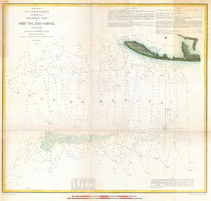
(Sketch H No. 6) Preliminary Chart of Ship Island Shoal Louisiana.
sold
- Digital Map Information
- Suitable for large format printing
- DPI: 300
- File Size: 7.23 MB
- File Type: ZIP / TIFF
- ICC color profile embedded
- Delivered instantly via download link
An attractive example of the U.S. Coast Survey Map of Louisiana's Ship Island Shoal. Details part Isle Derniere (Ast Island) and Caillon Bay. Shows Ast Station and the luxurious Ocean Club Hotel, both of which were destroyed in the Hurricane of ... (more details)
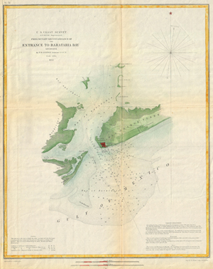
Preliminary Reconnaissance of the Entrance to Barataria Bay, Louisiana.
sold
- Digital Map Information
- Suitable for large format printing
- DPI: 300
- File Size: 25.17 MB
- File Type: ZIP / TIFF
- ICC color profile embedded
- Delivered instantly via download link
This is an attractive 1853 U.S. Coast Survey chart or nautical map or Barataria Bay, Louisiana. Covers from Grand Isle and Bayou Rigaud eastward Past Fort Livingston and Forstall's Plantation. Extends northward past Mendicant Island to ... (more details)
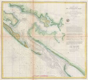
(G No. 4) Preliminary Chart of St. Andrew's Bay Florida.
sold
- Digital Map Information
- Suitable for large format printing
- File Size: 11.6 MB
- File Type: ZIP / TIFF
- ICC color profile embedded
- Delivered instantly via download link
An uncommon 1855 U.S. Coast Survey map or nautical chart of St. Andrews Bay, Florida. The map identifies St. Andrews City, which would soon evolve into Panama City, the seat of Bay County, Florida. Sailing directions appear in the ... (more details)
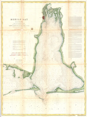
Mobile Bay, Alabama
sold
- Digital Map Information
- Suitable for large format printing
- File Size: 32.44 MB
- File Type: ZIP / TIFF
- ICC color profile embedded
- Delivered instantly via download link
This is an uncommon 1856 U.S. Coast Survey Chart or Map of Mobile Bay, Alabama. Covers from Grand Bay and the mouths of the Alabama and Apalachee Rivers south to Mobile Point, Dauphine Island, and the Sand Island Bank. Also extends ... (more details)
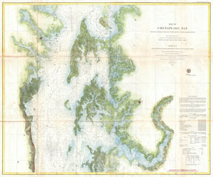
Map of Chesapeake Bay from the head of the bay to the mouth of the Potomac River.
sold
- Digital Map Information
- Suitable for large format printing
- File Size: 34.09 MB
- File Type: ZIP / TIFF
- ICC color profile embedded
- Delivered instantly via download link
This is an attractive 1857 U.S. Coast Survey chart or nautical map or the central part of the Chesapeake Bay, Maryland. This is chart no. 2 of the three charts created to detail the entire Chesapeake Bay. Covers from roughly 38.35 ... (more details)
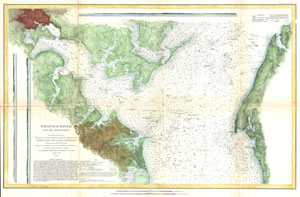
Patapsco River and the Approaches.
sold
- Digital Map Information
- Suitable for large format printing
- File Size: 15.21 MB
- File Type: ZIP / TIFF
- ICC color profile embedded
- Delivered instantly via download link
This is an uncommon 1856 U.S. Coast Survey Chart or Map of Patapsco River, the Chesapeake Bay, and approaches to Baltimore, Maryland. Covers from Baltimore in the northwest, eastward as far as Fairlee Creek, and southward as far ... (more details)
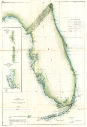
Sketch F Showing the Progress of the Survey in Section VI. With a General Reconnaissance of the Coast of Florida 1848-59.
sold
- Digital Map Information
- Suitable for large format printing
- File Size: 6.69 MB
- File Type: ZIP / TIFF
- ICC color profile embedded
- Delivered instantly via download link
A beautiful example of the U.S. Coast Survey's 1859 triangulation chart or map of the Florida Peninsula. This map covers from St. Augustine and Apalachee Bay southwards as far as Key West and the Dry Tortugas. Triangulation ... (more details)
An early triangulation chart of Florida.
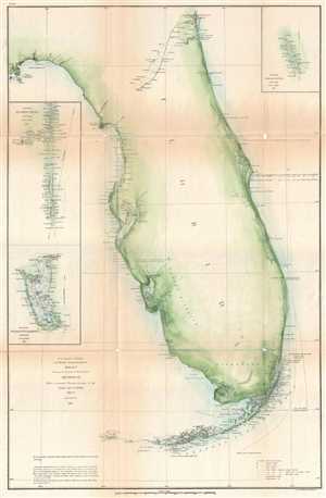
Sketch F Showing the Progress of the Survey in Section VI. With a General Reconnaissance of the Coast of Florida 1848-61.
sold
- Digital Map Information
- Suitable for large format printing
- File Size: 6.54 MB
- File Type: ZIP / TIFF
- ICC color profile embedded
- Delivered instantly via download link
A beautiful example of the U.S. Coast Survey's 1861 triangulation chart or map of the Florida Peninsula. This nautical map covers from St. Augustine and Apalachee Bay southwards as far as Key West and the Dry Tortugas. There ... (more details)
Important Civil War Era map illustrating the Battle of Forts Jackson and St. Philip.
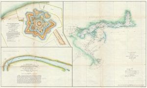
Sketch II Showing the Progress of the Survey in Section No. VIII.
sold
- Digital Map Information
- Suitable for large format printing
- File Size: 20.16 MB
- File Type: ZIP / TIFF
- ICC color profile embedded
- Delivered instantly via download link
An unusual and attractive 1862 Civil War era U.S. Coast Survey map of the Gulf Coast from the Delta of the Mississippi to Mobile Bay and Fort Jackson. The primary map, appearing in the right hand quadrants, is an early ... (more details)
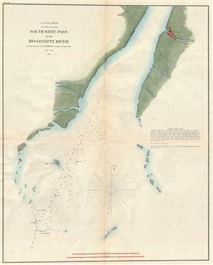
South West Pass of the Mississippi River.
sold
- Digital Map Information
- Suitable for large format printing
- File Size: 8.78 MB
- File Type: ZIP / TIFF
- ICC color profile embedded
- Delivered instantly via download link
A fine example of the U.S. Coast Survey nautical chart or maritime map of the Mississippi River's South West Pass. The Southwest Pass, as it is known today, is one of the channels at the mouth of the Mississippi River ... (more details)
Important Civil War Era mapping of the critical Mississippi River artery.

Mississippi River from Cairo Illinois to St. Mary’s Missouri in VI Sheets. Reconnaissance for the use of the Mississippi Squadron under the command of Acting Rear Admiral S.P.L.E.E, U.S.N. By the part of E. H. Gerdes, Assistant; assigned by A.D. Bache, Supdt. United States Coast Survey.
sold
- Digital Map Information
- Suitable for large format printing
- File Size: 53.97 MB
- File Type: ZIP / TIFF
- ICC color profile embedded
- Delivered instantly via download link
This is an important and rarely seen complete set of six charts from the 1865 U.S. Coast Survey mapping of the Mississippi River. Prepared by F. H. Gerdes, this map set details the territory from Cairo Illinois to ... (more details)
One of the most uncommon U.S. Coast Survey charts.
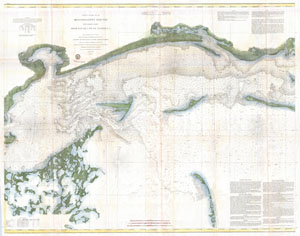
Coast Chart No. 92 Mississippi Sound Western Part From Round I. to St. Jospeh's I.
sold
- Digital Map Information
- Suitable for large format printing
- File Size: 48.35 MB
- File Type: ZIP / TIFF
- ICC color profile embedded
- Delivered instantly via download link
This is a highly unusual and rarely seen 1860 U.S. Coast Survey chart or map of the western part of the Mississippi Sound. Covers the coast of Mississippi roughly from St. Joseph Island (today's Grand Island) and ... (more details)
The Best Saltwater Fishing in Mississippi.
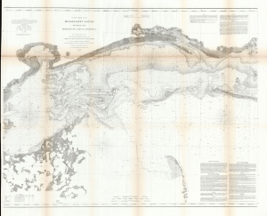
Coast Chart No. 92 Mississippi Sound Western Part From Round I. to St. Joseph's I.
sold
- Digital Map Information
- Suitable for large format printing
- File Size: 175.79 MB
- File Type: ZIP / TIFF
- ICC color profile embedded
- Delivered instantly via download link
This is a scarce 1860 U.S. Coast Survey chart of the western part of the Mississippi Sound. While charts of the Gulf Coast generally are not uncommon, very few address this part of the Mississippi sound with such detail, giving this chart a unique focus on a favored fishing haunt. (more details)
Scarce working nautical chart of the Mississippi River Delta.
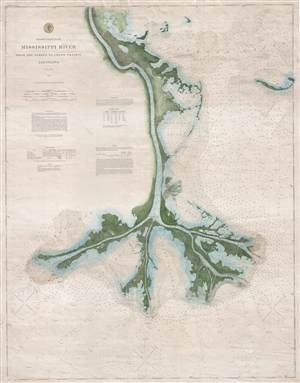
Coast Chart No. 94. Mississippi River From the Passes to Grand Prairie, Louisiana.
sold
- Digital Map Information
- Suitable for large format printing
- File Size: 38.86 MB
- File Type: ZIP / TIFF
- ICC color profile embedded
- Delivered instantly via download link
The culmination of nearly 15 years of intense survey work, this is 1874 independent issue nautical chart is possibly the most attractive and dramatic map of the Mississippi River Delta to emerge from the U.S. ... (more details)
The culmination of the Coast Survey's work in New York Harbor.
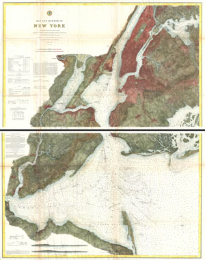
Bay and Harbor of New York.
sold
- Digital Map Information
- Suitable for large format printing
- File Size: 70.18 MB
- File Type: ZIP / TIFF
- ICC color profile embedded
- Delivered instantly via download link
The ultimate U.S Coast Survey chart of New York City, it's harbor, and environs. This nautical chart, dating to 1874, is divided into two parts and is the culmination of the U.S. Coast Survey's mapping of ... (more details)
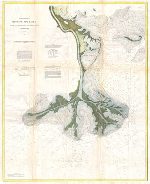
Coast Chart No. 94. Mississippi River From the Passes to Grand Prairie, Louisiana.
sold
- Digital Map Information
- Suitable for large format printing
- File Size: 32.08 MB
- File Type: ZIP / TIFF
- ICC color profile embedded
- Delivered instantly via download link
The culmination of nearly 15 years of intense survey work, this is 1874 nautical chart is possibly the most attractive and dramatic map of the Mississippi River Delta to emerge from the U.S. Coast Survey. ... (more details)
The culmination of the Coast Survey's work in New York Harbor.
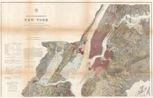
Bay and Harbor of New York.
sold
- Digital Map Information
- Suitable for large format printing
- File Size: 60.9 MB
- File Type: ZIP / TIFF
- ICC color profile embedded
- Delivered instantly via download link
The ultimate expression of the U.S Coast Survey chart of New York City, its harbor, and environs. This nautical chart, dating to 1874, is the culmination of the U.S. Coast Survey's mapping of New York City. Much of New York City as we know it today is illustrated here, including Manhattan, Queens, Brooklyn, the Bronx, and part of Staten Island. The depicted area also includes Jersey City, Newark, and Hoboken. Sumptuous detail is present throughout, with city blocks, important buildings, farms and fields, river ways, streams, swamps, and topographical details. In addition to inland detail, this chart contains a wealth of practical information for the mariner from depth soundings, to notes on harbors, and navigation tips about important channels. Tables detailing light houses and beacons, tides, and magnetic declination, are included as well. (more details)
U.S. Naval Academy.
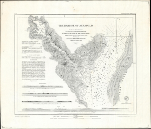
The Harbor of Annapolis.
sold
- Digital Map Information
- Suitable for large format printing
- File Size: 36.9 MB
- File Type: ZIP / TIFF
- ICC color profile embedded
- Delivered instantly via download link
This is the 1874 U.S. Coast Survey nautical map detailing Annapolis Harbor, Maryland, in a scarce separate issue example. (more details)
Scarce working separate issue nautical chart of the Mississippi River Delta.
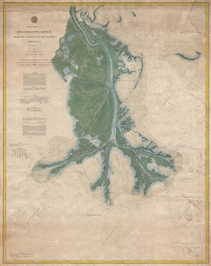
Coast Chart No. 94. Mississippi River From the Passes to Grand Prairie, Louisiana.
sold
- Digital Map Information
- Suitable for large format printing
- File Size: 35.85 MB
- File Type: ZIP / TIFF
- ICC color profile embedded
- Delivered instantly via download link
The culmination of nearly 15 years of intense survey work, this is 1885 independent issue nautical chart is possibly the most advanced map of the Mississippi River Delta to emerge from the U.S. Coast ... (more details)