
NEW ACQUISITIONS
A charming pictorial map of the coast of Massachusetts - features an illustration of the Gloucester Sea Serpent and several famous ships.
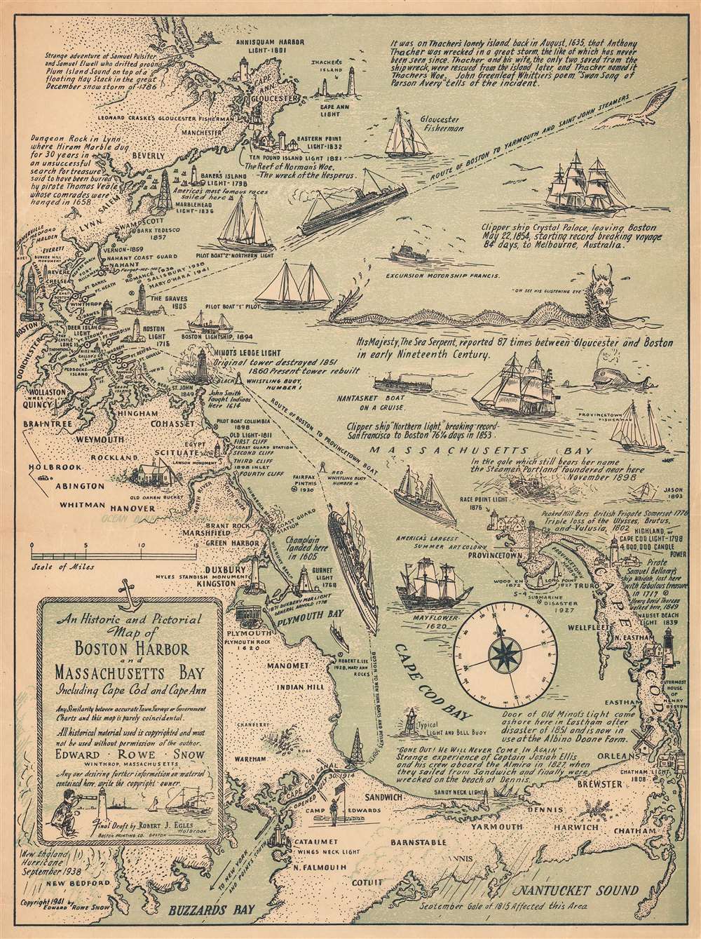
An Historic and Pictorial Map of Boston Harbor and Massachusetts Bay Including Cape Cod and Cape Ann.
$250.00
Acquire
- Digital Map Information
- Suitable for large format printing
- File Size: 10.74 MB
- File Type: ZIP / TIFF
- ICC color profile embedded
- Delivered instantly via download link
This is a 1941 Edward Rowe Snow pictorial map of Boston Harbor, Massachusetts Bay, and Cape Cod. The map depicts the Atlantic coast of Massachusetts from Cape Ann to Buzzards Bay and Nantucket Sound. Highly detailed, numerous locations along the Massachusetts coast are labeled and illustrated in profile, including the Custom House Tower in Boston, the Davenport Guildhall in Plymouth, and Leonard Craske's Gloucester fisherman statue on Cape Ann. More than a dozen lighthouses from Cape Ann to Buzzards Bay and on Cape Cod are illustrated in profile. Shipping routes from Boston to Yarmouth, New York, and Provincetown are marked and large ships are depicted following those routes. Two historically important clipper ships are also illustrated, the 'Northern Light' and 'Crystal Palace' along with fishing boats, lightships, and the Mayflower. The Cape Cod Canal, which was opened on July 30, 1914 (per the map) is also rendered. A vignette of 'His Majesty, the Sea Serpent' presents an unusual inclusion, though Snow informs us that the Sea Serpent was reported eighty-seven times between Gloucester and Boston in the early nineteenth century. Captions throughout the map provided by Snow inform the viewer of important and intriguing events that took place along this stretch of the East Coast of the United States. (more details)
Texas as a Republic!
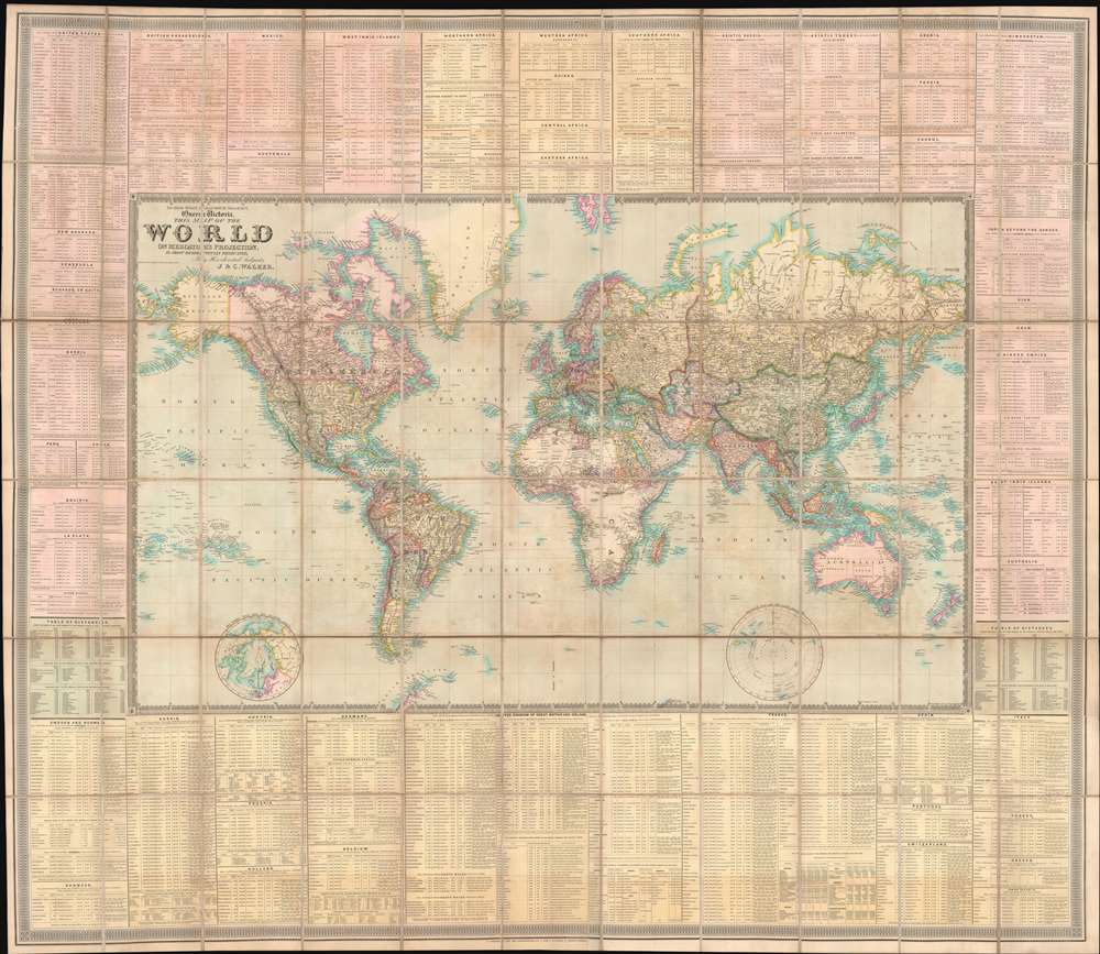
To Her Most Gracious Majesty Queen Victoria, This Map of the World on Mercator's Projection, is most respectfully dedicated, by Her devoted Subjects J. and C. Walker.
$7,500.00
Acquire
- Digital Map Information
- Suitable for large format printing
- File Size: 175.51 MB
- File Type: ZIP / TIFF
- ICC color profile embedded
- Delivered instantly via download link
A dramatic first edition of J. and C. Walker's 1840 highly decorative wall map of the world on Mercator's Projection - notable here for its bold inclusion of the Republic of Texas. It also rather neutrally addresses the ambiguity of the Oregon Question - an ongoing dispute between the United States and British Canada over claims to British Columbia that would not be resolved until 1846. This deluxe edition of the map is enhanced by extensive tables offering statistics and data on all parts of the world. (more details)
Follows the 36th Infantry from Salerno to Austria.
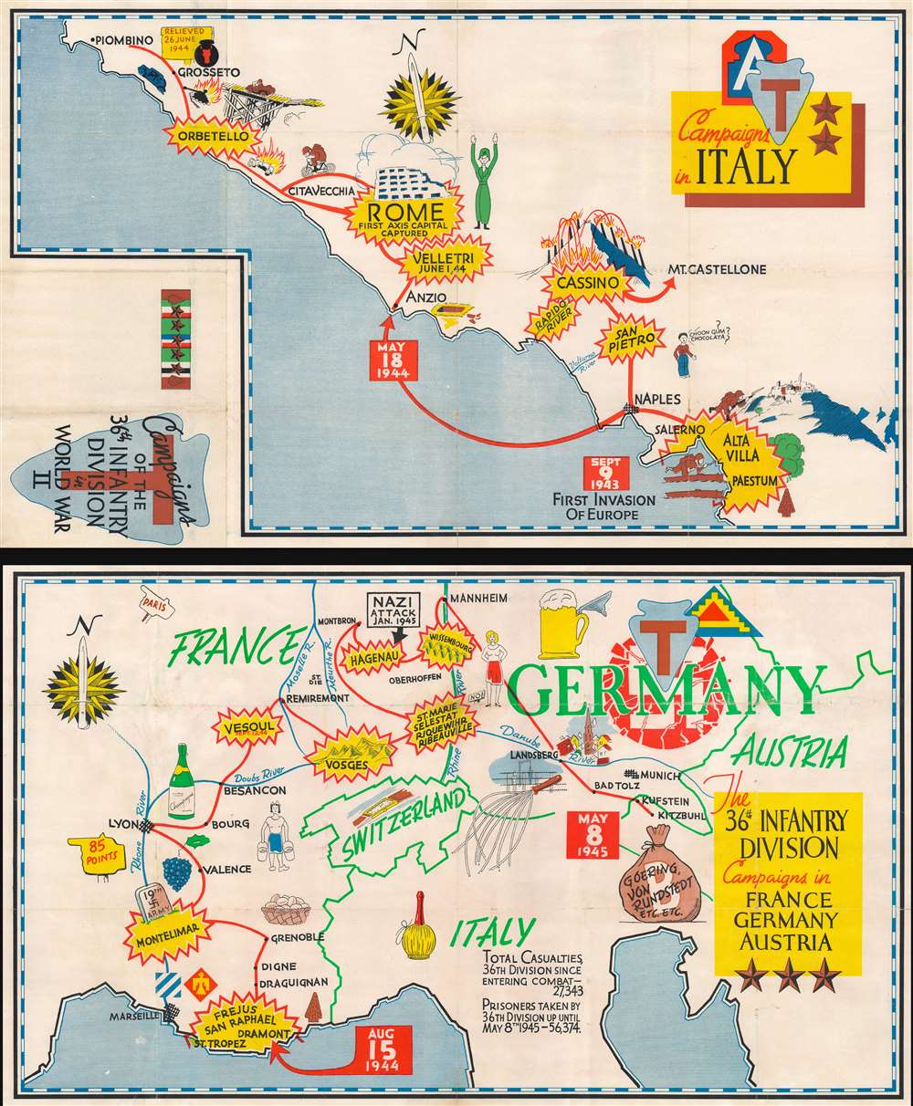
Campaigns of the 36th Infantry Division in World War II. Campaigns in Italy. The 36th Infantry Division Campaigns in France Germany Austria.
$1,400.00
Acquire
- Digital Map Information
- Suitable for large format printing
- Full resolution TIFF file
- ICC color profile embedded
- Delivered instantly via download link
This is a set of two 1945 World War II pictorial route maps of Italy, France, Germany, and Austria following the 36th Infantry Division's progress during the conflict. Yellow and red bursts mark important battles, including Salerno, Rome, Vesoul, and Hagenau. Other pictorial elements reference life encountered along the way, such as children asking for chocolate and the wonder of French champagne. (more details)
Indigenous dwellings throughout the Pacific world.
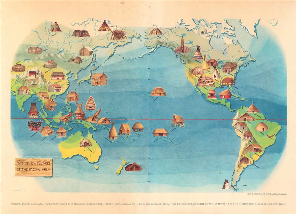
Plate V. Pageant of the Pacific. Native Dwellings of the Pacific Area.
$400.00
Acquire
- Digital Map Information
- Suitable for large format printing
- File Size: 22 MB
- File Type: ZIP / TIFF
- ICC color profile embedded
- Delivered instantly via download link
This is a 1940 Miguel Covarrubias pictorial map of the Pacific. Pictorial vignettes illustrate indigenous dwellings throughout, all of which are labeled according to culture. Plains Indian tepees are labeled as 'Blackfoot', 'Sioux', and 'Kiowa'. An igloo is labeled as 'Eskimo' and an Iroquois longhouse is identified simply as 'longhouse'. This print reproduces one of six murals created by Covarrubias for the Golden Gate International Exposition. The murals were displayed at Pacific House. (more details)
Guide to one of the most important atlases of modern China.

輿圖總目及航空郵路 / Index Map, also showing air mail lines.
$400.00
Acquire
- Digital Map Information
- Suitable for large format printing
- File Size: 25.78 MB
- File Type: ZIP / TIFF
- ICC color profile embedded
- Delivered instantly via download link
This is the index map for the 1933 edition of The Postal Atlas of China (中華郵政輿圖), compiled by Charles Jacot-Guillarmod. It is a comprehensive map of China depicting air mail routes between major cities and to interior regions that were difficult to reach by other means. (more details)
Postal infrastructure beyond the Great Wall.
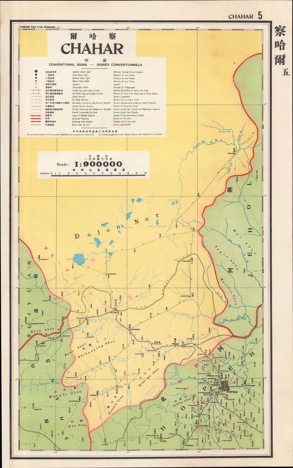
察哈爾 / Chahar.
$400.00
Acquire
- Digital Map Information
- Suitable for large format printing
- File Size: 13.02 MB
- File Type: ZIP / TIFF
- ICC color profile embedded
- Delivered instantly via download link
This is a map of Chahar Province (Inner Mongolia) from the 1933 edition of The Postal Atlas of China (中華郵政輿圖), compiled by Charles Jacot-Guillarmod. It presents the limited but evolving postal infrastructure of the region, an impressive feat given the difficult terrain and lack of infrastructure. (more details)
War of Attrition.
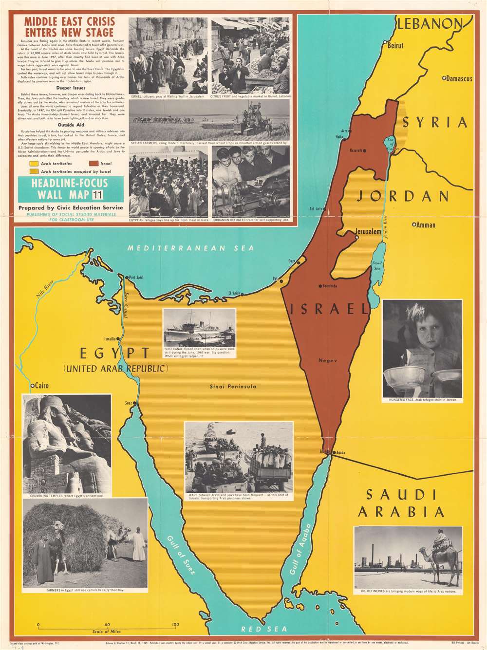
Middle East Crisis Enters New Stage.
$375.00
Acquire
This is a 1969 Civic Education Service map of the Middle East focusing on Israel, the Sinai Peninsula, and the surrounding region. Published during the War of Attrition between Israel and Egypt, Israel is shaded brown, and the surrounding Arab states (Lebanon, Syria, Jordan, Saudi Arabia, and Egypt) yellow. Brown and yellow parallel lines illustrate areas occupied by Israel, including the Sinai, Gaza, the West Bank, and the Golan Heights. Since this piece was created for use in schools, photographs present the conflict and the countries involved, including Egyptian and Jordanian refugees and cultural sites in Israel and Egypt. (more details)
Vestiges of French colonialism in Saigon.
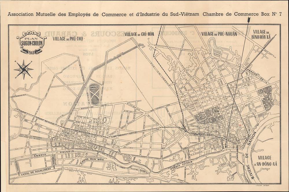
Plan Saigon-Cholon / [Saigon-Cholon Map].
$300.00
Acquire
This is a c. 1956 map of Saigon published by the city's Chamber of Commerce and the Mutual Association of Commercial and Industrial Employees of South Vietnam. It primarily shows the city's two main centers of Cholon and Saigon soon after Vietnamese independence. (more details)
Air route from San Francisco to Auckland.
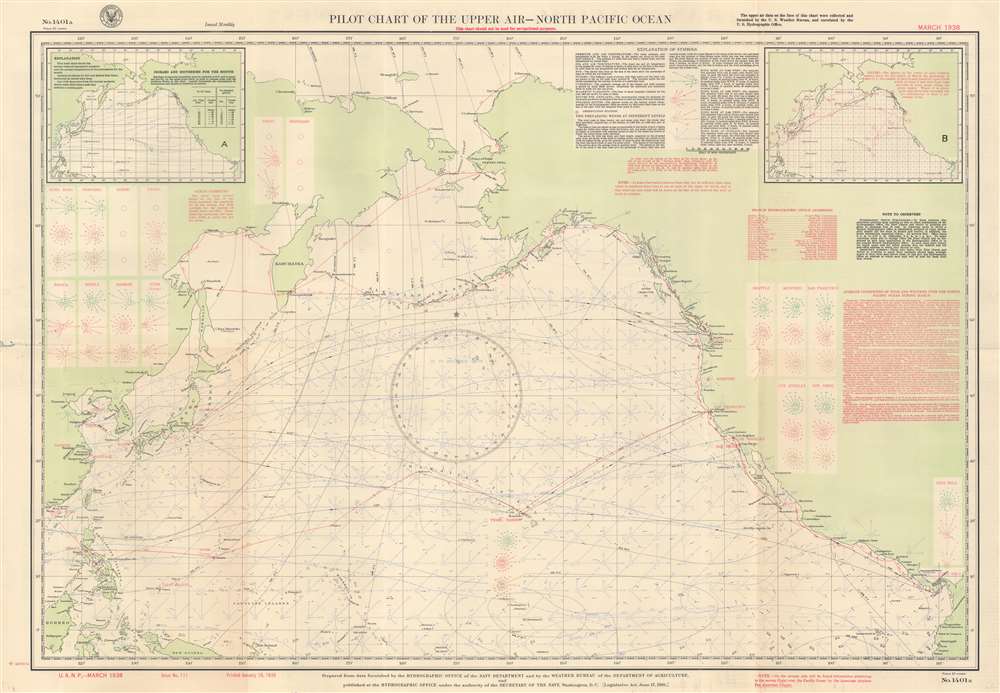
Pilot Chart of the Upper Air - North Pacific Ocean.
$300.00
Acquire
- Digital Map Information
- Suitable for large format printing
- Full resolution TIFF file
- ICC color profile embedded
- Delivered instantly via download link
This is a March 1938 U.S. Navy Hydrographic Office aeronautic map of the North Pacific detailing prevailing winds. Wind roses indicate what the wind at the surface averaged over 100 hours. Boxes on the left and right sides provide average wind readings at 2,500 feet, 5,000 feet, and 10,000 feet above major cities of the Pacific Rim, including Shanghai, Hong Kong, Manila, Seattle, Los Angeles, and San Diego. Red lines trace air routes, including the famed China Clipper route from San Francisco to Hong Kong via Honolulu, Midway, Wake, Guam, and Manila. An inset in the upper left presents isobars and isotherms for March 1938 and an inset in the upper right details gales for the month of March. Explanatory information occupies most of the upper right. (more details)
Ski New England!
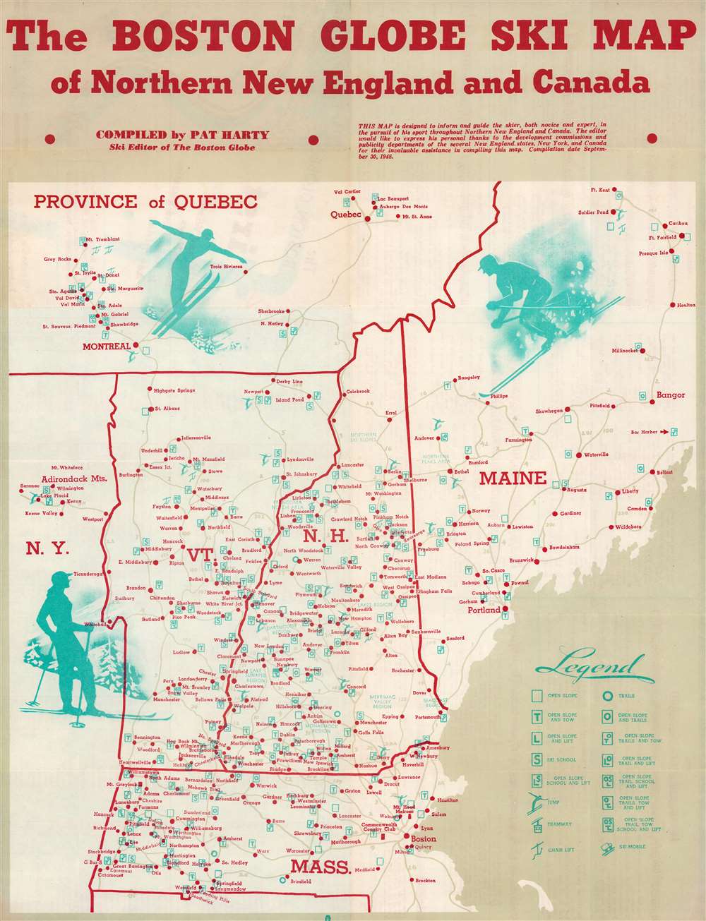
Boston Globe Ski Map of Northern New England and Canada.
$250.00
Acquire
- Digital Map Information
- Suitable for large format printing
- Full resolution TIFF file
- ICC color profile embedded
- Delivered instantly via download link
This is a 1948 Pat Harty pictorial map of New England ski resorts. Depicting from northern Maine south to northern Connecticut, red dots mark ski resorts throughout Maine, Vermont, New Hampshire, Massachusetts, and southern Quebec. Symbols provide information about conditions at each resort, such as slope conditions, if there is a ski school, and if there is a chair lift, tramway, or ski mobile. Pictorial illustrations of people skiing add charm to the piece. An index of the ski resorts appears on the verso. (more details)
Fort Wayne's Interurban railways and streetcar lines.
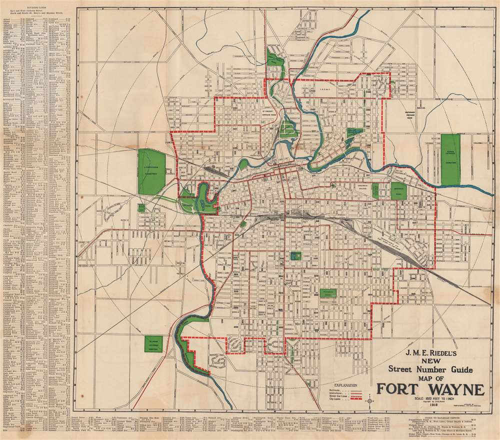
J. M. E. Riedel's New Street Number Guide Map of Fort Wayne.
$250.00
Acquire
- Digital Map Information
- Suitable for large format printing
- Full resolution TIFF file
- ICC color profile embedded
- Delivered instantly via download link
This is a 1919 John M. E. Riedel city plan or map of Fort Wayne, Indiana. Red overprinting highlights streetcar lines within Fort Wayne and interurban railways, such as the Fort Wayne and Northern Indiana Traction Company. Railroads (which went farther than interurban railways) are illustrated by black lines. Numerous railroads traveled through Fort Wayne, including the Pittsburgh, Fort Wayne, and Chicago Railway (part of the Pennsylvania railroad system), the Wabash Railroad, and the New York, Chicago, and St. Louis Railroad. The public library, Court House, Post Office, Concordia College, and City Hall are identified. An alphabetic street index appears outside the left and bottom borders. (more details)
Revolutionary 19th century map of Lisbon.
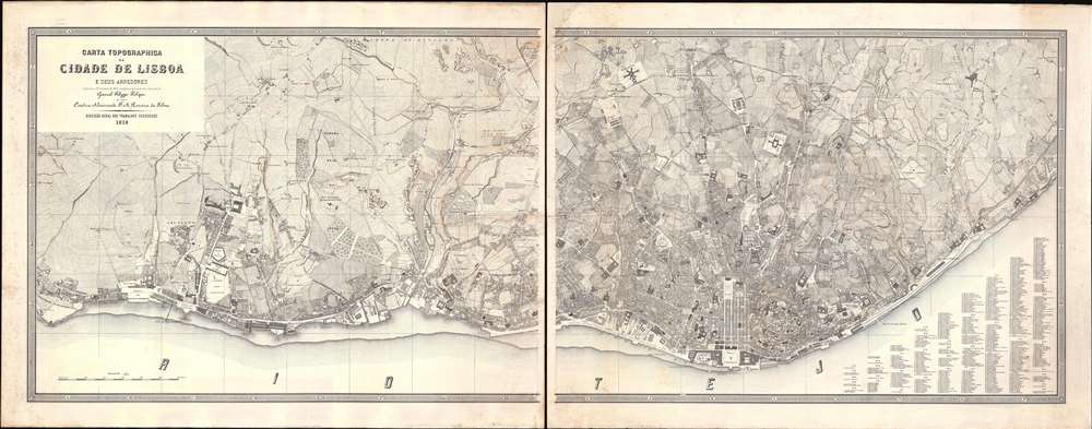
Carta Topographica da Cidade de Lisboa e sus Arredores referida a 30 de junho de 1876.
$18,000.00
Acquire
- Digital Map Information
- Suitable for large format printing
- File Size: 38.82 MB
- File Type: ZIP / TIFF
- ICC color profile embedded
- Delivered instantly via download link
An outstanding 1878 first-edition large scale map of Lisbon, Portugal - this is largest and best printed map of Lisbon to appear in the second half of the 19th century, and the definitive plan of that city during the transformative Fontismo period. The map is presented in two enormous sections, which, if joined, would measure some 90 inches wide. It reveals individual city blocks, streets, and public squares, and in many cases, names individual buildings. Overprinting in orange ink - doubtless a separate printing plate, offers contours illustrating Lisbon's dramatic topography. (more details)
Nagoya at the start of its industrialization.
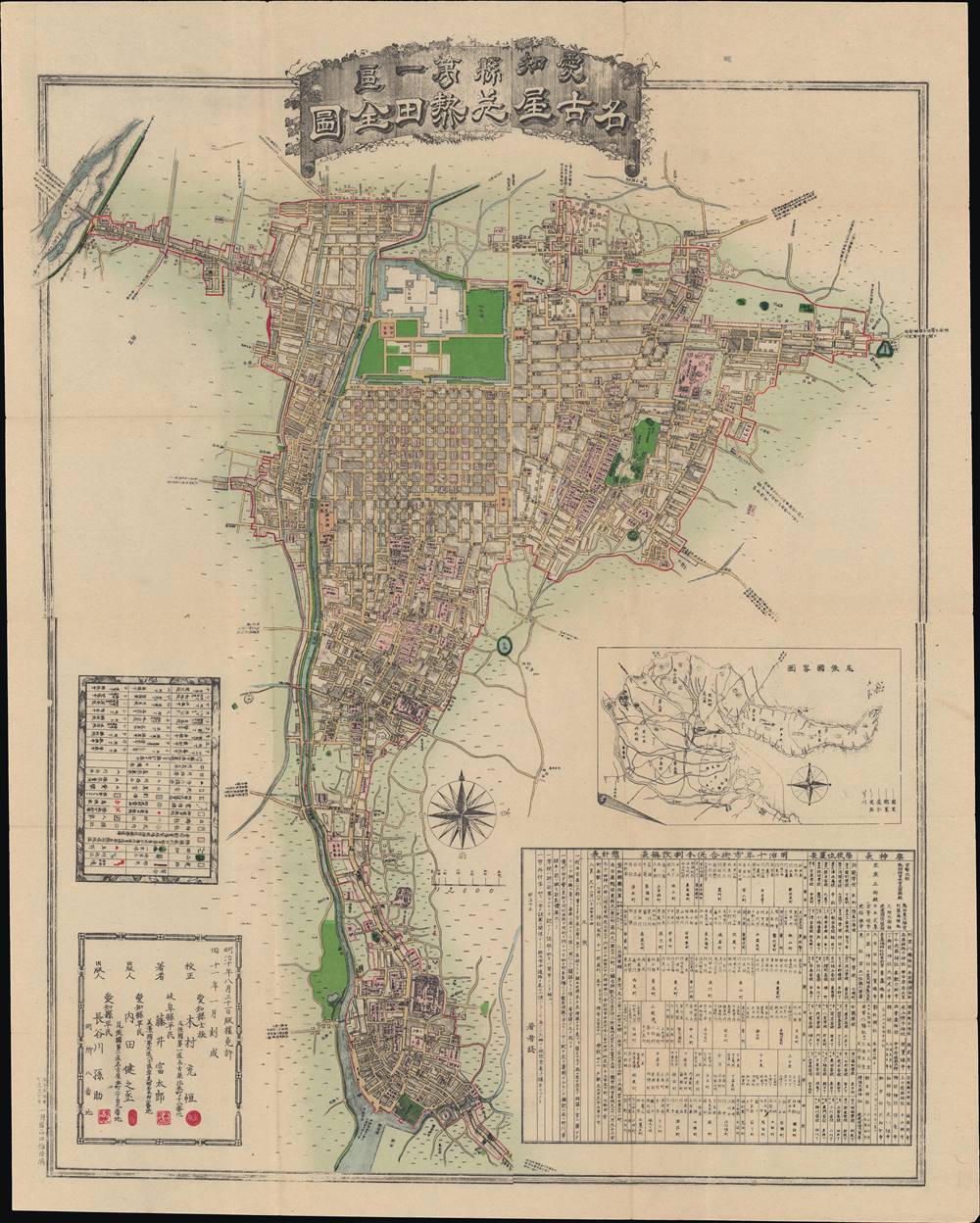
愛知縣第一區名古屋并熱田全圖 / [A full map of Nagoya and Atsuta in the first district of Aichi Prefecture].
$1,000.00
Acquire
- Digital Map Information
- Suitable for large format printing
- File Size: 47.7 MB
- File Type: ZIP / TIFF
- ICC color profile embedded
- Delivered instantly via download link
This is a remarkable 1878 Fujii Tomitarō (藤井富太郎) map of Nagoya and Atsuta in Aichi Prefecture, Japan. It was made a decade after the Meiji Restoration, which inaugurated a rapid modernization of the country, and shows the immediate effects of the reform program on Nagoya. The frequent administrative changes of the Meiji era (discussed below) required regular updating of maps, which was likely the impetus for this map's creation. (more details)
Immediately prior to Cold Harbor.
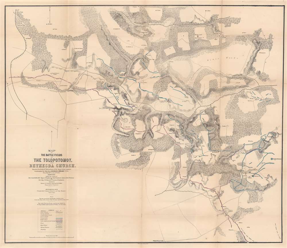
Map of the Battlefields of The Tolopotomoy and Bethesda Church Showing the Field of Operations of the Army of the Potomac Commanded by Maj. Gen. George G. Meade U.S. Army From May 28th to June 2nd 1864.
$750.00
Acquire
- Digital Map Information
- Suitable for large format printing
- File Size: 32.4 MB
- File Type: ZIP / TIFF
- ICC color profile embedded
- Delivered instantly via download link
This is an 1864 Charles W. Howell and James C. Duane map of the battle of Totopotomoy Creek, fought during the American Civil War (1861 - 1865). Depicting the battlefield and the immediate surroundings, red highlights Confederate lines while blue emphasizes Union positions. Red and blue lines illustrate Confederate positions captured by the Union. Army of the Potomac headquarters throughout the battle are labeled and marked with a small American flag. Homesteads in the region, the local store, and churches are identified by name. (more details)
Ancient sites from Babylonia and Assyria.
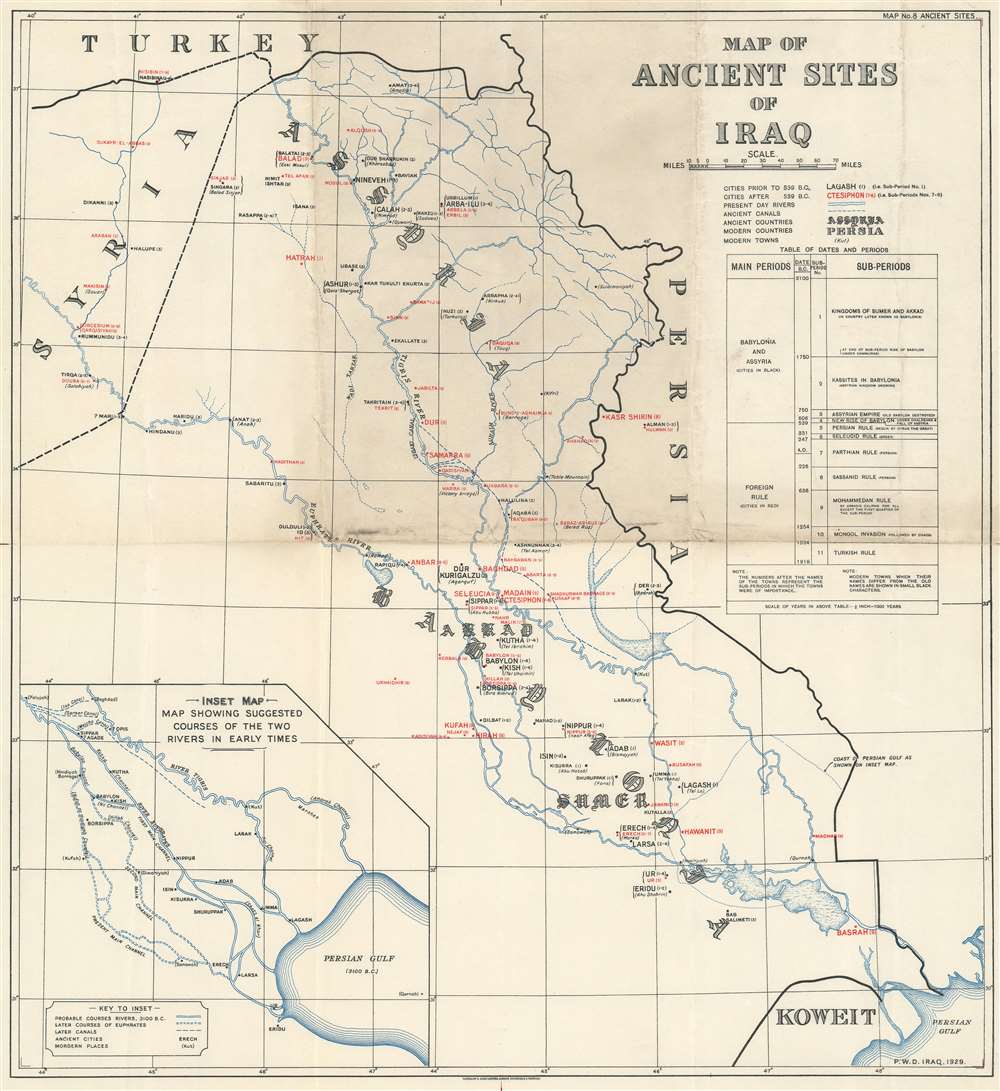
Map of Ancient Sites of Iraq.
$550.00
Acquire
- Digital Map Information
- Suitable for large format printing
- File Size: 13.23 MB
- File Type: ZIP / TIFF
- ICC color profile embedded
- Delivered instantly via download link
This is a rare 1929 Waterlow and Sons map of the ancient sites of Iraq. Both ancient and modern names are provided for cities, towns, and countries. City names in black were founded prior to 539 B.C., while cities identified by red were founded after 539 B.C. Numbers between one and nine appear in parentheses beside the city names, referring to the periods when each city was of importance. Nineveh, Nippur, Babylon, and Ur are among the most important. Modern city names, when applicable, are included below the ancient names in parentheses. Ancient Assyria and Babylonia, two important ancient civilizations, blossomed here and are identified in an elaborate typeface. A table of dates and periods is situated along the right border, offering context. An inset map of the Tigris and Euphrates Rivers as they may have appeared in ancient times is situated in the lower left. (more details)
California highways during the Great Depression.
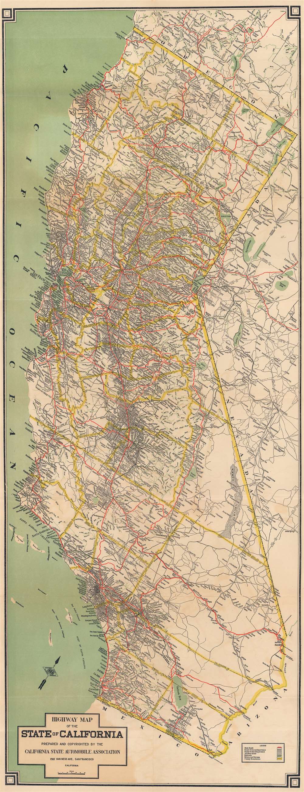
Highway Map of the State of California.
$225.00
Acquire
- Digital Map Information
- Suitable for large format printing
- Full resolution TIFF file
- ICC color profile embedded
- Delivered instantly via download link
This is a c. 1932 State Automobile Association highway map of California. This dramatic vertical piece is oriented to the northwest, to accommodate California's unusual shape in as little space as possible. Roads throughout the state are defined according to grade and significance. Light green lines mark railroads. Broad yellow lines illustrate county borders, and by extension, California's state borders. (more details)
A large possibly one of a kind linen backed map of two districts in Kashmir, India.

Kashmir and Jammu. Anantnag and Baramula Districts.
$1,000.00
Acquire
- Digital Map Information
- Suitable for large format printing
- File Size: 124.76 MB
- File Type: ZIP / TIFF
- ICC color profile embedded
- Delivered instantly via download link
This is a large 1929 Survey of India topographic map of Anantnag and Baramula Districts in Jammu and Kashmir, India. Dissected and mounted on its original linen from what appears to be a least two separately issued sheets, the map depicts the region from Kanzdor to the Lokut Gumbur Nar and from Bajrathar to Shar and Purmandal. Mountain passes are identified, as are 'temporary huts' and other landmarks. Forests are shaded green and are labeled. Roads of varying grades are also marked, along with foot paths and mineral lines. Glaciers are shaded a blueish-white and have blue dashed lines crossing their expanse. Several keys along the bottom border explain the different notations used. (more details)
A fantastic pictorial map of Louisiana.
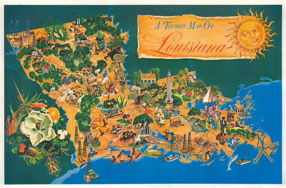
A Tourist Map of Louisiana.
$850.00
Acquire
- Digital Map Information
- Suitable for large format printing
- File Size: 43.85 MB
- File Type: ZIP / TIFF
- ICC color profile embedded
- Delivered instantly via download link
This is a fantastic c. 1948 Margaret Wendt Andry pictorial tourist map of Louisiana. Wonderful illustrations present aspects of life in Louisiana, including the oil industry, its wide agricultural base that includes growing cotton and oranges, and recreational opportunities, including hunting and fishing. Prawns appear in several places, alongside a crab and an oyster. Waterfowl, including pelicans, egrets, and ducks, appear as well. The Louisiana State Capitol building in Baton Rouge is prominently illustrated. A large magnolia (the Louisiana state flower) decorates the compass that occupies the lower left corner and an orange, a prawn, and some cotton help make up this charming illustration. (more details)
France during the Roman Era.
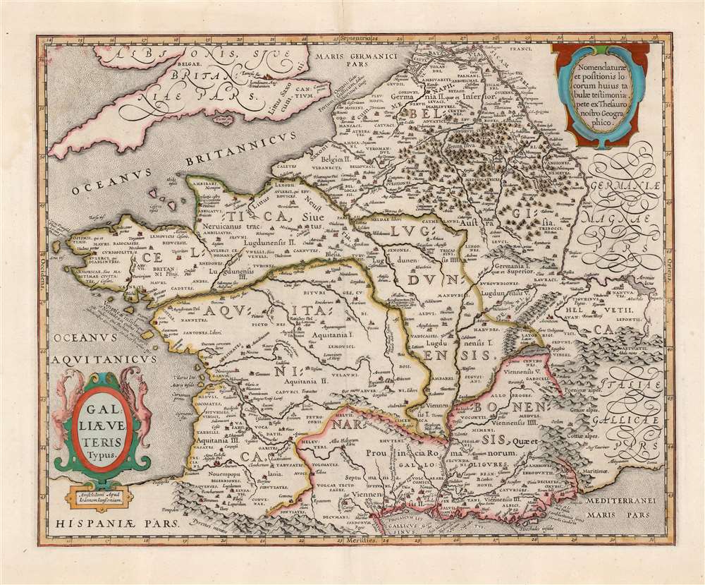
Galliae Veteris Typus.
$650.00
Acquire
- Digital Map Information
- Suitable for large format printing
- Full resolution TIFF file
- ICC color profile embedded
- Delivered instantly via download link
This is a beautiful example of Jan Jansson's map of France, known as Gaul during the Roman era. It is derived from Abraham Ortelius' map of the same title. The map thus combines the late sixteenth century mapping of France's physical geography with classical toponymy, drawn from the first century writing of the historian Strabo, supplemented by the work of Pliny, Virgil, Caesar, and others. Ortelius, a historian as well as a mapmaker, had included the map in his Parergon, the historical supplement to his Theatrum Orbis Terrarum. Jansson, with an eye for quality, was faithful to his source, including not only the place names but Ortelius' copious historical notations. (more details)
Post-war Atlanta - identifies Emory University.
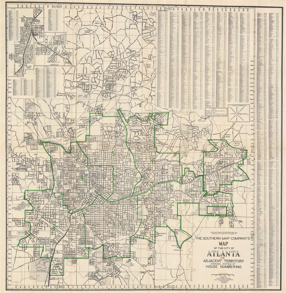
The Southern Map Company's Map of the City of Atlanta and Adjacent Territory Showing System of House Numbering.
$450.00
Acquire
- Digital Map Information
- Suitable for large format printing
- Full resolution TIFF file
- ICC color profile embedded
- Delivered instantly via download link
This is a 1946 Southern Map Company city plan or map of Atlanta, Georgia and the immediate vicinity. Coverage extends from Oakdale Estates and Capital City Country Club to Lakewood and from Pine Acres to Columbia Seminary in Decatur. Streets are illustrated, neighborhoods and subdivisions identified, and Atlanta city wards defined in green (which by extension means the city limits are colored green as well). Emory University, Agnes Scott College, Grant Park, Clark University, Fort McPherson, and Atlanta University rank among the specific sites named. An alphabetical street index occupies the upper right corner and the right side of the sheet. Three insets appear in the upper left detailing College Park, Hapeville, and East Point. (more details)