Most recently added antique and rare maps as of 5/13/2024.
1855 Colton Wall Map of Maine
Detailed township map of Maine - including townships granted to American educational academies!
$2,500.00

1840 Perrot Comparative Chart depicting the Wonders of Nature
Fantastic separate issue example of this awesome chart!
$950.00

1840 Perrot Comparative Chart of the Heights of the Monuments of the World
Incredible separate issue example of this beautiful chart!
$950.00

1844 Copley Blueback Nautical Chart or Maritime Map of the Bahamas and Cuba
Highly detailed chart of the Bahamas and eastern Cuba.
$950.00

1881 U.S.C.G.S. Nautical Chart of the New England Coast: Boston, Cape Ann, Maine
Meticulous chart of the Atlantic Coast from Maine to Massachusetts.
$600.00

1716 de Hangest View of La Chartreuse Monastery in Val-Saint-Pierre, France
This monastery was destroyed during the French Revolution but is where Chartreuse Liquor was invented!
$500.00

1746 Bellin Map of Madeira and Porto Santo, Portugal
Attractive map of Madeira and Porto Santo - known for their New Year's Eve Fireworks!
$150.00

1939 Fisher Map of the Border Lakes (Namaka Lake, Crane Lake) Minnesota
Illustrates in great detail the region from Rainy Lake through Namakan Lake to Lac la Croix.
$150.00

1954 Jacques Branger Pictorial Map of Asia (Messageries Maritimes)
Incredible advertisement for post-war travel from France to the Far East.
$350.00

1873 Warren View of Buffalo, New York
Gorgeous view of Buffalo, New York
$175.00

1852 Levasseur Map of the Department Du Calvados, France
Map of France's Calvados region.
$150.00

1783 Millar Map or Chart of Islands in the Atlantic and Pacific Oceans
Fascinating Post-Bering Pre-Cook map of the North Atlantic showing Alaska as Island.
$250.00

1869 Dead River Grand Trunk Railway Temperance Broadsheet
Hilarious temperance allegory and broadsheet promoting Walker's Vinegar Bitters.
$400.00

1837 Blunt Maritime Map or Nautical Chart of the Savannah River
Detailed coast survey map which predates the U.S. Coast Survey.
$225.00

1729 Clüver Map of Southern Italy in Antiquity
South Italy as it was known in ancient times!
$275.00

1750 Bellin Map of the East Indies (Sumatra, Malay, Java, Borneo)
Beautiful map of the East Indies.
$275.00

1668 Doncker Map of the Atlantic, with early Dutch New York (New Amsterdam)
A scarce nautical chart detailing Dutch interests in America including New Amsterdam (New York). From an unrecorded 1668 French edition of Doncker's Atlas.
$1,500.00

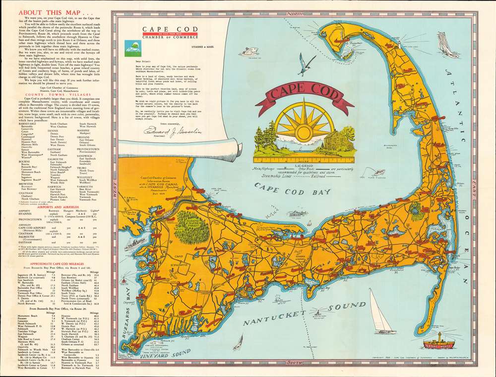
1930 Coulton Waugh Pictorial Map of Cape Cod, Massachusetts
Includes historical notes and vignettes of sailing ships and sea monters!
$650.00