
NEW ACQUISITIONS
1st U.S. Army from D-Day to V-E Day.
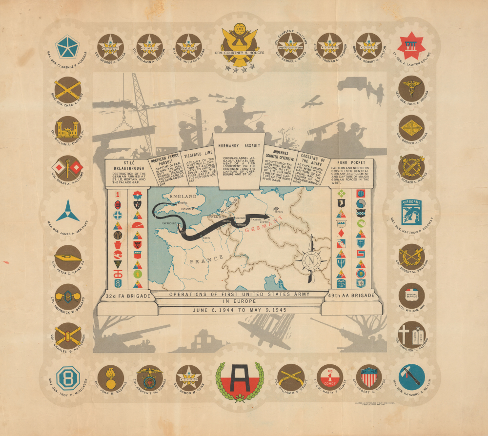
Operations of the First United States Army in Europe June 6, 1944 to May 9, 1945.
$400.00
Acquire
- Digital Map Information
- Suitable for large format printing
- File Size: 18.93 MB
- File Type: ZIP / TIFF
- ICC color profile embedded
- Delivered instantly via download link
This is a 1945 Einar Larssen pictorial World War II route map of the First United States Army in Europe. The map traces the path of the First Army as it traveled throughout Europe. It is one of the more overtly decorative pieces in the genre. (more details)
Germany's Outlet to the North Sea.
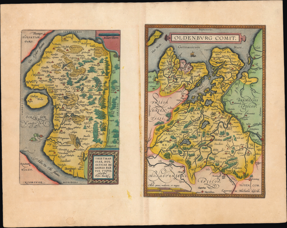
Thietmarsiae, Holsaticae Regionis Partis Typus. / Oldenburg Comit.
$350.00
Acquire
- Digital Map Information
- Suitable for large format printing
- Full resolution TIFF file
- ICC color profile embedded
- Delivered instantly via download link
This is an old-color sheet containing maps of Dithmarschen and Oldenburg, in today's Germany, that appeared in the 1595 edition of Abraham Ortelius' Theatrum Orbis Terrarum. These regions were geographically close but culturally and politically distinct, with Dithmarschen having been recently conquered after generations of autonomy as a peasant republic, while Oldenburg was deeply embroiled in the complex political and military machinations of the Holy Roman Empire. (more details)
Divergent Experiences of the 16th Century.
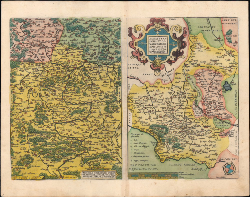
Franciae Orientalis (Vulgo Frankenlant) Descriptio. / Monasteriensis et Osnaburgensis Episcopatus Descriptio.
$250.00
Acquire
- Digital Map Information
- Suitable for large format printing
- Full resolution TIFF file
- ICC color profile embedded
- Delivered instantly via download link
This sheet from the 1595 edition of Abraham Ortelius' Theatrum Orbis Terrarum contains two old-color maps of areas in today's western Germany: the Main River Valley in Bavaria and the historic episcopates of Münster and Osnabrück in Westphalia. Though both in western Germany today, the two regions experienced the turbulent wars and religious struggles of the era very differently. (more details)
Making Yosemite More Accessible.
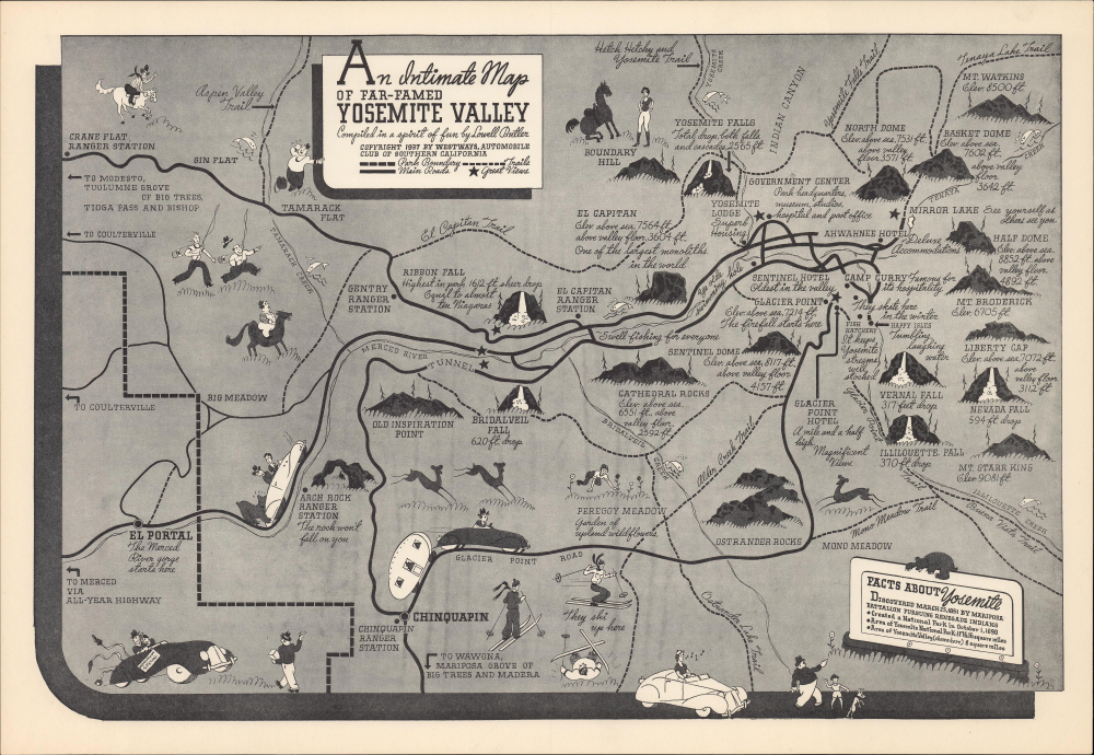
An Intimate Map of Far-Famed Yosemite Valley Compiled in a spirit of fun by Lowell Butler.
$225.00
Acquire
- Digital Map Information
- Suitable for large format printing
- File Size: 24.12 MB
- File Type: ZIP / TIFF
- ICC color profile embedded
- Delivered instantly via download link
This is a 1937 pictorial map of Yosemite Valley by Lowell Butler, prepared for Westways, a periodical of the Automobile Club of Southern California. Although 'preaching to the choir' of automobile owners and enthusiasts, the map nonetheless demonstrates the increasing accessibility to the park that automobiles allowed. (more details)
Separate-Issue Rarity. Vignettes illustrating Asian religous practices. 3 known examples.

A new and correct map of asia Laid down from the latest and best Observations...
$15,000.00
Acquire
- Digital Map Information
- Suitable for large format printing
- File Size: 71.88 MB
- File Type: ZIP / TIFF
- ICC color profile embedded
- Delivered instantly via download link
This is an extremely rare, separately issued 1754 George Foster / Robert Sayer map of Asia. Although printed in 1754, the map's cartography dates to c. 1735, when it was first issued in a now-lost edition by the map seller George Foster. The map features elaborate decorative side panels, added in 1754 by Sayer, illustrating Asiatic religious practices. This map stands out for its remarkable rarity, being one of only 3 known surviving examples. It is also significant for its use of the term 'Sea of Corea' (Sea of Korea) to denote the sea between Japan and Korea, the naming of which is a matter of international contention. (more details)
Suppressed and groundbreaking first edition!
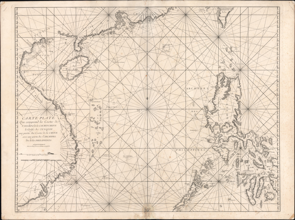
Carte Plate Qui comprend les Coste de Tsiompa, de la Cochinchine, le Golfe de Tunquin, une partie des Costes de la Chine aves une partie de l'Archipel des Isles Philippines.
$5,500.00
Acquire
- Digital Map Information
- Suitable for large format printing
- File Size: 47.63 MB
- File Type: ZIP / TIFF
- ICC color profile embedded
- Delivered instantly via download link
This is the exceedingly rare 1745 nautical map of the South China Sea and the Philippines, which appeared in Mannevillette's banned first edition of his groundbreaking nautical atlas, the Neptune Oriental. When published, this chart represented the finest available cartography of the South China Sea, Southeast China Coast, and the Philippines - thus defining the Canton-Macao-Manila triangle. It was so accurate that French authorities, fearing for the security of their colonial empire, ordered all examples banned and destroyed. The map is additionally notable for its early and idiosyncratic inclusion of various islands, banks, and atolls in the area, many of which have become hotly disputed in recent decades. (more details)
Republic of Texas at its height.
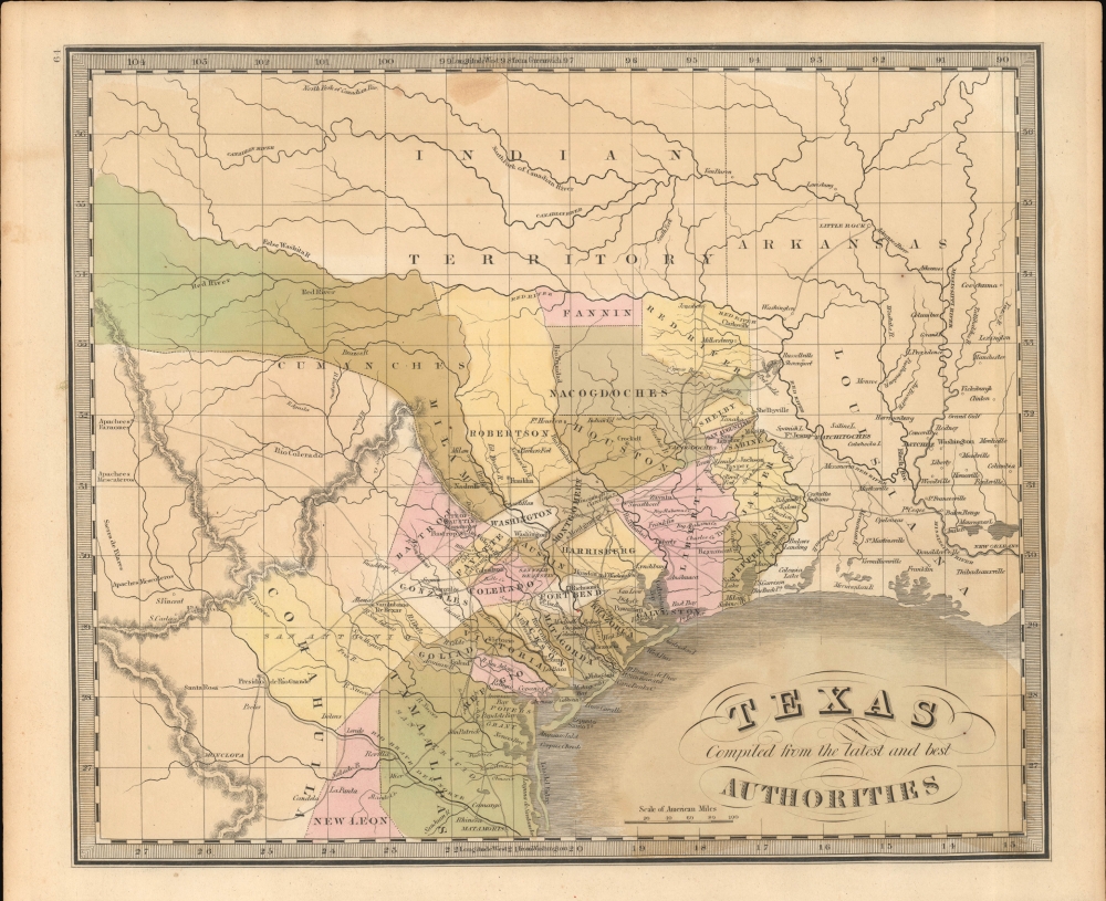
Texas Compiled from the latest and best Authorities.
$3,500.00
Acquire
- Digital Map Information
- Suitable for large format printing
- File Size: 7.52 MB
- File Type: ZIP / TIFF
- ICC color profile embedded
- Delivered instantly via download link
This is Jeremiah Greenleaf's 1842 map of the Republic of Texas. This highly sought-after map is one of the best depictions of the Republic produced during its brief existence. It is notable for incorporating both early counties and Empresario land grants. (more details)
Powerhouse of American Shipbuilding.
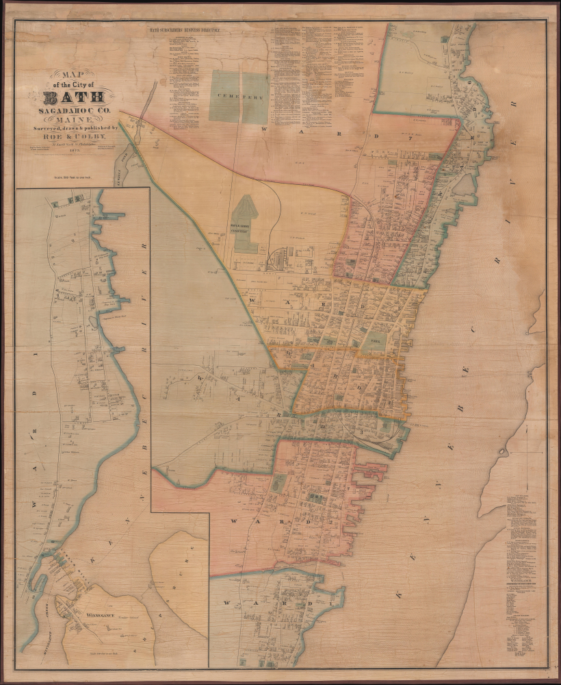
Map of the City of Bath Sagadahoc Co. Maine.
$3,500.00
Acquire
- Digital Map Information
- Suitable for large format printing
- Full resolution TIFF file
- ICC color profile embedded
- Delivered instantly via download link
This is a scarce 1873 wall map of Bath, Maine, prepared by local cartographers Frederick B. Roe and George N. Colby. The map is notable for documenting the city's importance as a center of the American shipbuilding industry. (more details)
Pioneering Jewish Social Welfare in Interwar Poland.
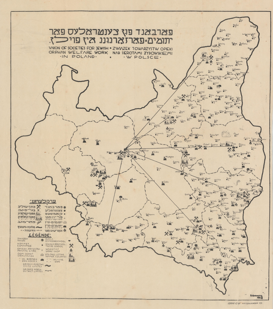
פארבאנד פון געזעלשאפט פאר יתומים־פארזאר גונג אױף אין פּוילן / Union of Societies For Jewish Orphan Welfare Work In Poland / Związek Towarzystw Opieki Nad Sierotami Żydowskiemi w Polsce.
$3,500.00
Acquire
- Digital Map Information
- Suitable for large format printing
- File Size: 11.89 MB
- File Type: ZIP / TIFF
- ICC color profile embedded
- Delivered instantly via download link
This is a very scarce 1928 trilingual (Yiddish-Polish-English) map of the Second Polish Republic prepared by B. Horowitz for CENTOS, the largest Jewish charitable organization in Poland caring for orphans. It highlights the locations of Jewish social welfare organizations throughout the country, working with orphans. Despite harrowing difficulties, CENTOS pioneered modern social welfare in the tumultuous Interwar Period (1919 - 1939), when the Polish Jewish community faced not only an orphan crisis, the result of pogroms perpetrated during World War I, but also increased isolation and discrimination. (more details)
The Most Beautiful 17th Century English Map of Africa, in a. beautiful old color example.
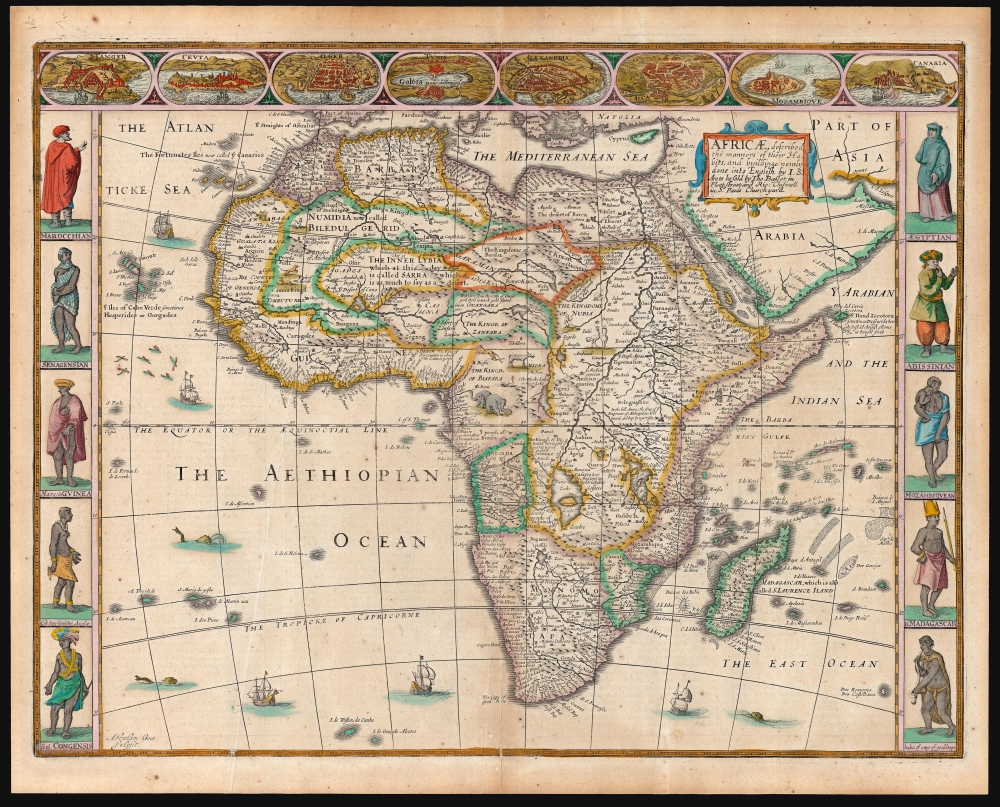
Africae described, the manners of their Habits, and buildings newly done into English by I. S. Are to be sold by Tho Basset in Fleet Street, and Ric Chiswell in St. Pauls Churchyard.
$3,000.00
Acquire
- Digital Map Information
- Suitable for large format printing
- Full resolution TIFF file
- ICC color profile embedded
- Delivered instantly via download link
This is John Speed's 1626 map of Africa, the first English map of the continent, in a beautifully colored 1676 edition. This beautiful map is one of the most desirable early maps of Africa, combining superb engraving, attractive Dutch styling, and entertaining and abundant English text. Moreover, the present example sports old color of unusually high quality. (more details)
Modernizing Ottoman maritime data.
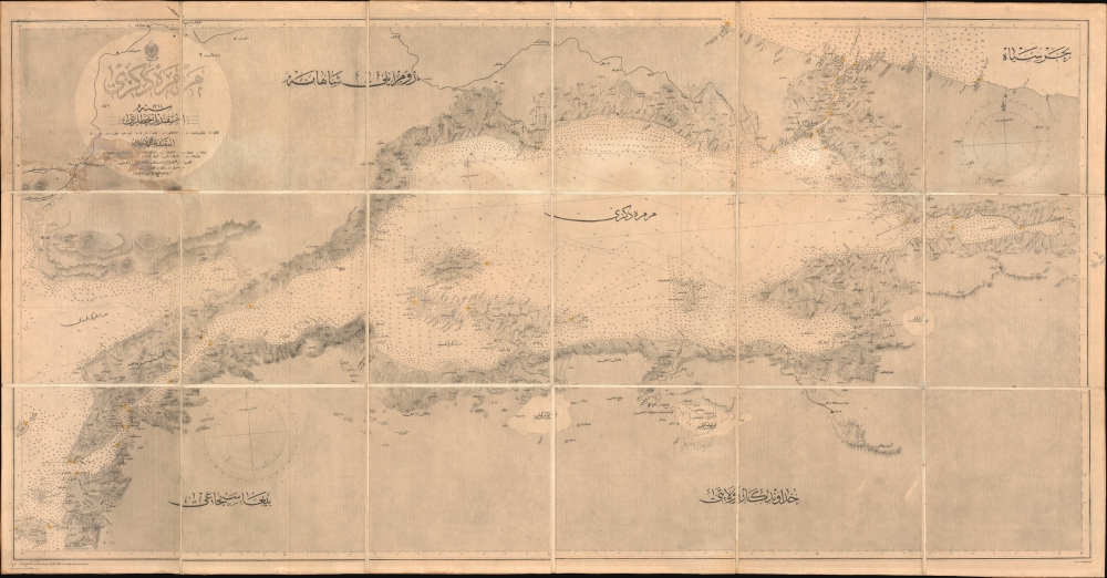
مارمارا ضنيزي / [Sea of Marmara].
$2,800.00
Acquire
- Digital Map Information
- Suitable for large format printing
- File Size: 1762.71 MB
- File Type: ZIP / TIFF
- ICC color profile embedded
- Delivered instantly via download link
A fascinating 1896 nautical chart or map of the Sea of Marmara, including the Bosphorus Straits, published by the Ottoman Matbaa-i Bahriye (Printing House of the Naval Forces). It is based on a British Admiralty chart of the same, reflecting both the advanced state of British hydrography at the time and the efforts of the late Ottoman state to close the gap with Western empires. (more details)
From Imperial to Republican Capital.
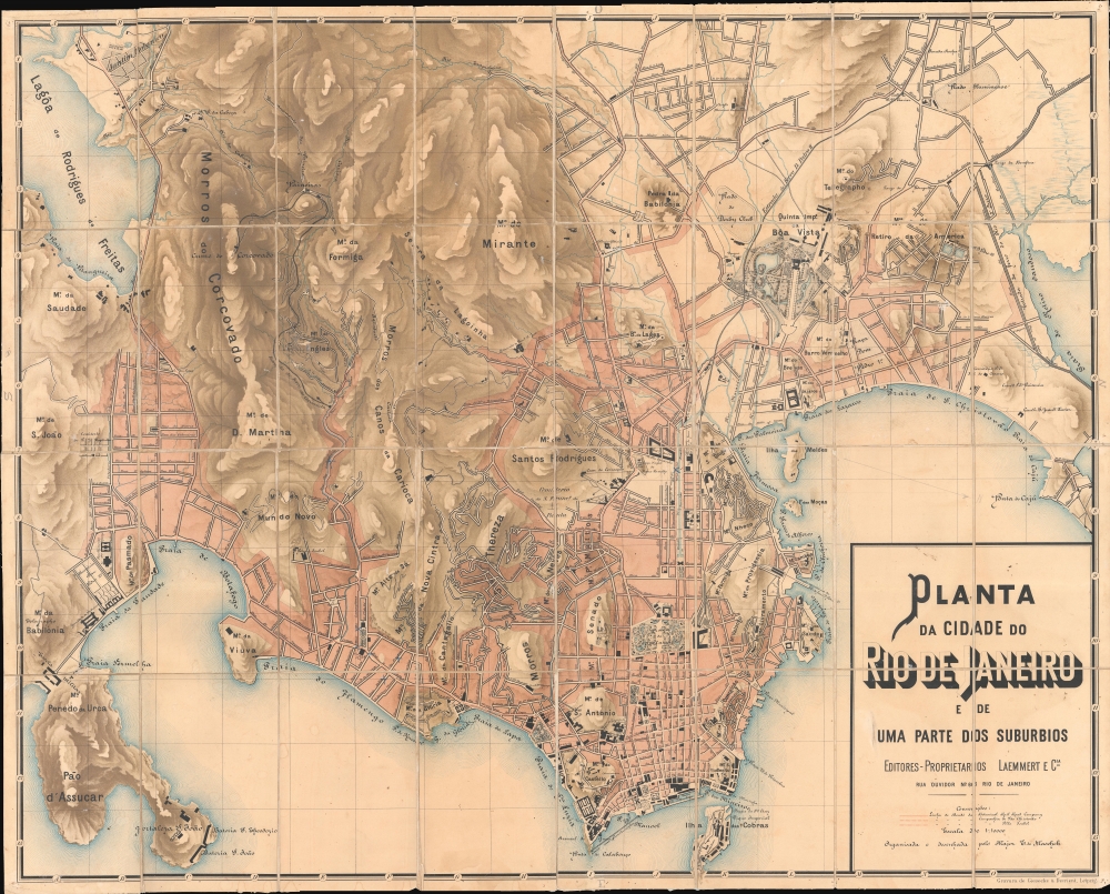
Planta da Cidade do Rio de Janeiro e de Uma Parte dos Suburbios.
$2,500.00
Acquire
- Digital Map Information
- Suitable for large format printing
- Full resolution TIFF file
- ICC color profile embedded
- Delivered instantly via download link
This is the rare 1891 large-scale edition of Eduardo Maschek's map of Rio de Janeiro, considered the best map to illustrate the liminal moment between the city's prominence as an old imperial capital and its emergence as a modern economic powerhouse. The map captures Rio on the brink of modernization when, flush with American and European capital, it embarked on large-scale infrastructure and urban development. Archaeologists and historians have used this map, preserved at the Biblioteca Luso-Brasileira, to rediscover lost monuments of Rio de Janeiro's past, from forgotten neighborhoods to vanished hippodromes. (more details)
Sicily and its Harbors.
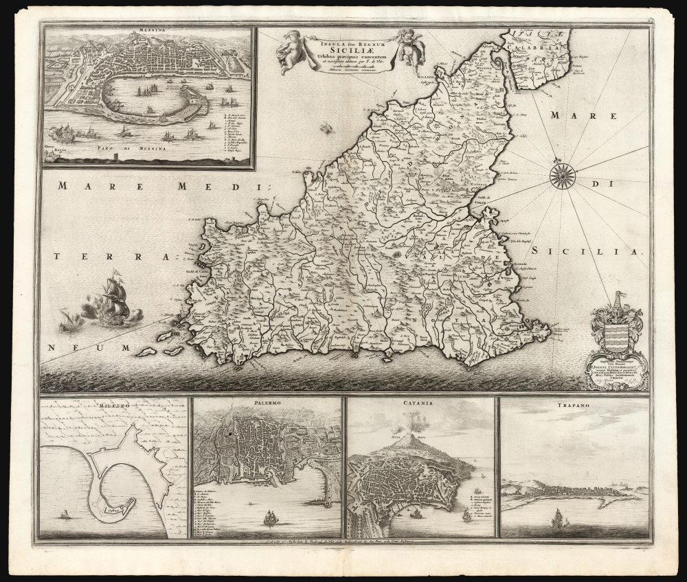
Insula sive Regnum Siciliae Urbibus praecipuis exornatum Urbibus praecipuis exonatum et novissime editum per F. de Wit.
$2,400.00
Acquire
- Digital Map Information
- Suitable for large format printing
- File Size: 30.75 MB
- File Type: ZIP / TIFF
- ICC color profile embedded
- Delivered instantly via download link
This is Frederick De Wit's c. 1671 map of Sicily, one of the most beautiful depictions of the Kingdom of Sicily produced in the Golden Age of Dutch Mapmaking - both in its delineation of Sicily itself and its bird's-eye views of five of Sicily's principal ports. (more details)
Airfields during the Allied advance west through Germany.

Airfield Development. Changes Since Nov. 30th 1944.
$750.00
Acquire
- Digital Map Information
- Suitable for large format printing
- Full resolution TIFF file
- ICC color profile embedded
- Delivered instantly via download link
This is a February 1945 map of Central Europe detailing Allied airfield development between November 30, 1944, and the beginning of February 1945, during the Allied westward advance during World War II (1939 - 1945). The map is a key record of both the construction of Allied airfields and the appropriation of German fields as Allied-controlled territory expanded throughout the course of the war. (more details)
Even more uniquely colorful...
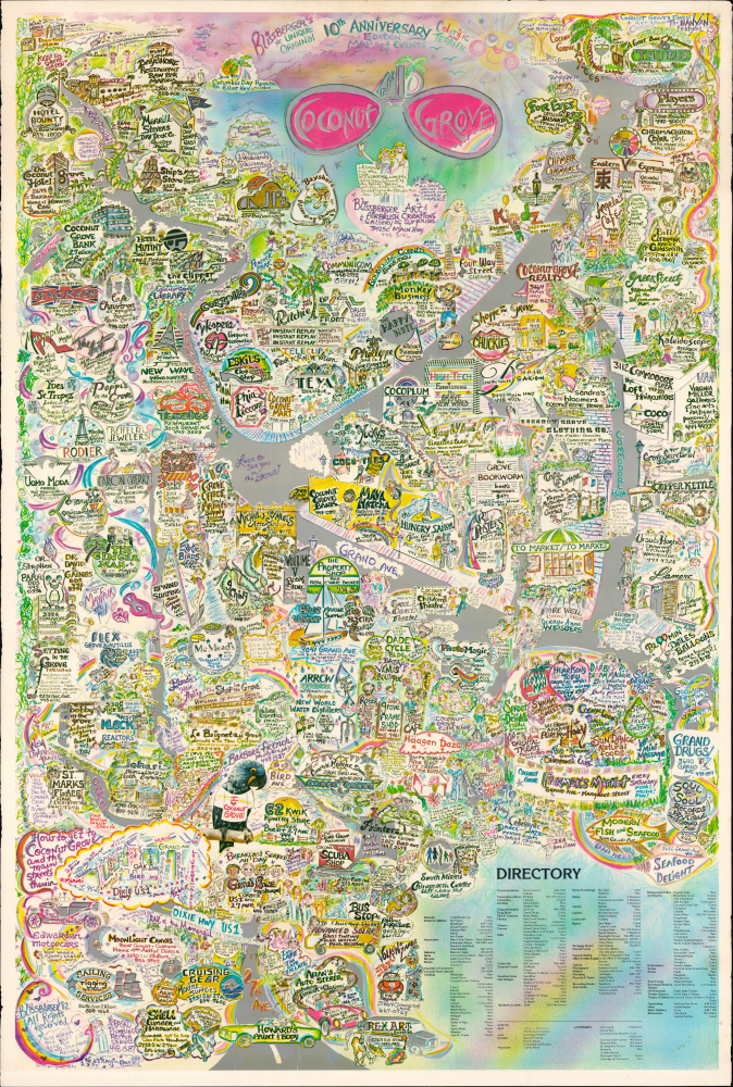
Blissberger's Unique Original 10th Anniversary Edition Map and Events of Colorful and Terrific Coconut Grove.
$525.00
Acquire
This is a vibrant and uncommon 1982 pictorial promotional view of the Coconut Grove neighborhood of Miami, Florida, drawn by Linda Blissberger. One of Miami's oldest neighborhoods, Coconut Grove had become the center of Florida's youth counter-culture and bohemian movement in the preceding years, reflected in the illustration style employed here. (more details)
A moment in Aspen.

Picture Map of Aspen / Aspen Picture Map.
$375.00
Acquire
This is an impressive large-format 1988 pictorial promotional map of Aspen, Colorado, prepared by Chris King. It depicts Aspen at a time when it had already become renowned as a skiing destination, but before much of the development in the southern part of the town in recent decades. (more details)
War Zone of the Holy Roman Empire.

Wirtenberg Ducatus.
$325.00
Acquire
- Digital Map Information
- Suitable for large format printing
- Full resolution TIFF file
- ICC color profile embedded
- Delivered instantly via download link
This is an old color example of Abraham Ortelius' map of the Duchy of Württemberg, which appeared in the 1595 Latin edition of his Theatrum Orbis Terrarum. At this time, Württemberg was in the midst of decades of warfare, which predated but were exacerbated by the Wars of Religion. (more details)
Havana's Defenses in the Spanish-American War.
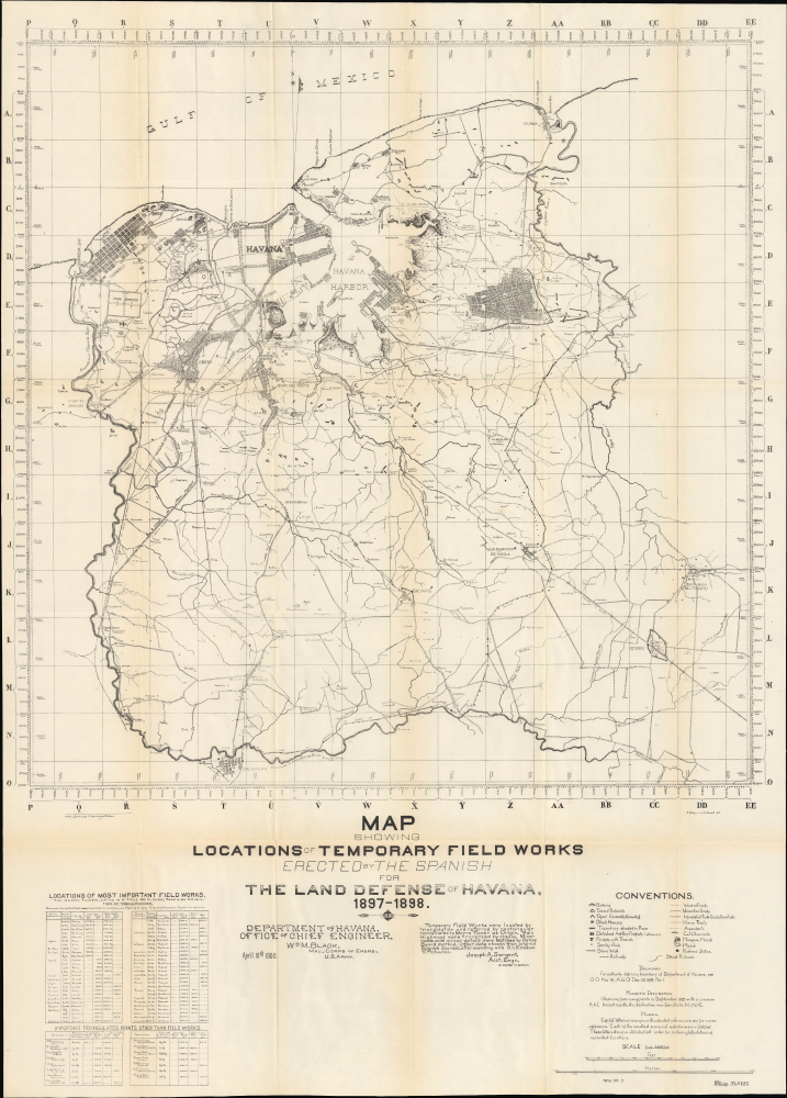
Map showing locations of temporary field works erected by the Spanish for the land defense of Havana, 1897-1898.
$300.00
Acquire
- Digital Map Information
- Suitable for large format printing
- File Size: 42.08 MB
- File Type: ZIP / TIFF
- ICC color profile embedded
- Delivered instantly via download link
This is an impressive, large-format 1900 map of Havana and environs prepared by the U.S. Army Corps of Engineers, representing Spanish defenses erected during the recent Spanish-American War. Though Havana was the center of Spanish colonial control and arguably the site of the war's beginning with the sinking of the USS Maine, the city suffered little damage during the fighting, laying a solid foundation for its development in the years that followed. (more details)
Celebrating the Empire from Occupied France.

L'Empire Colonial Francais, 1506 - 1940.
$6,500.00
Acquire
- Digital Map Information
- Suitable for large format printing
- Full resolution TIFF file
- ICC color profile embedded
- Delivered instantly via download link
This is a highly scarce, visually stunning, and very large-format (38.25 x 73.25 in.) wall map of the world highlighting the French colonial empire, prepared by the cartographic firm Girard et Barrère. Curiously, it was produced in March 1944, when France itself was under German occupation and the empire was divided against itself among loyalists of Vichy and Free France. (more details)
A Defining Era for Aramco.
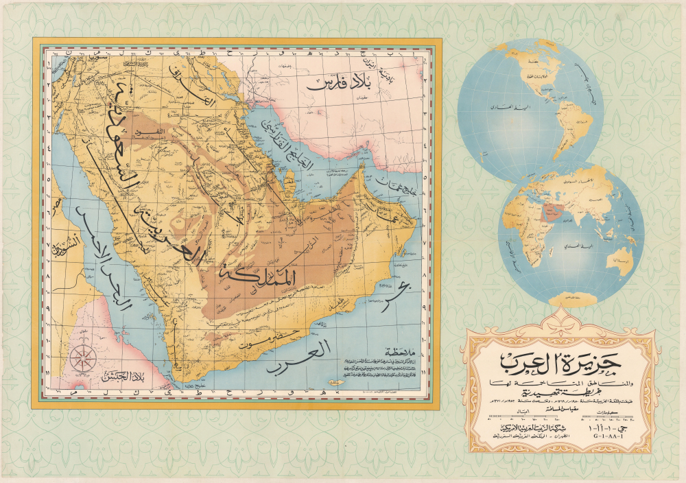
جزيرة العرب و المناطق المتاخمة لها خريطة تمهيدية / [The Arabian Peninsula and Adjacent Regions An Introductory Map].
$4,000.00
Acquire
- Digital Map Information
- Suitable for large format printing
- File Size: 147.51 MB
- File Type: ZIP / TIFF
- ICC color profile embedded
- Delivered instantly via download link
This is a stunning, large-format 1952 Arabic-language wall map of the Arabian Peninsula, issued by the oil giant, the Arabian American Oil Company (Aramco). It was issued at a critical time in the company's history, following its rearrangement to a 50/50 profit-sharing agreement with the Saudi state and the discovery in 1951 of the Safaniya Oil Field, the world's largest offshore field. (more details)