
Speed, John
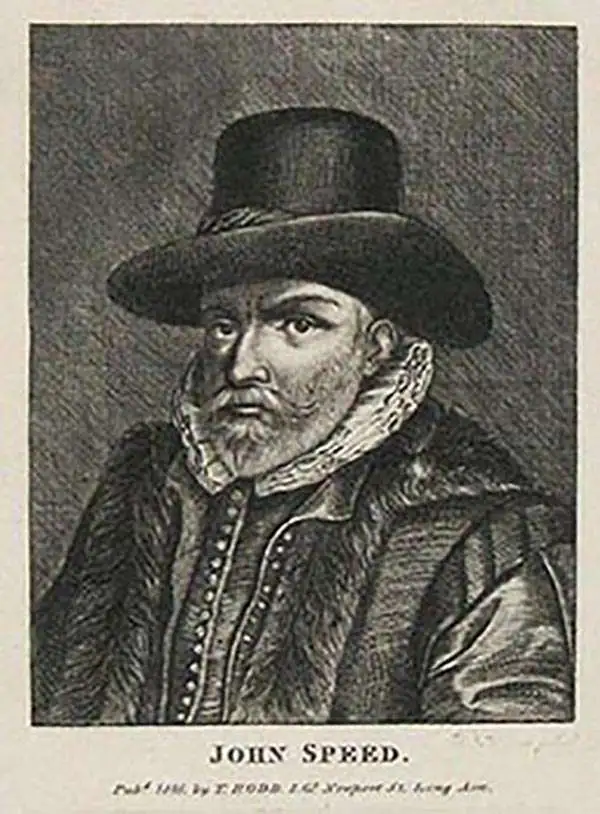
John Speed (1542 - 1629) was an important English historian and cartographer active in the early 17th century. Speed was born in Fardon, Cheshire and apprenticed under his father as a tailor. Though his heart was never in tailoring, Speed dedicated himself to this profession until he was about 50 years old. During all the time, Speed dedicated his spare time to research as amateur historian and mapmaker - even preparing several maps for Queen Elizabeth. In London, Speed's interest in history lead him to join the Society of Antiquaries. Eventually he befriended the wealthy Sir Fulke Greville, who sponsored his researches and eventually freed him from the haberdashery profession. Working with William Camden, Speed eventually published his 1611 Historie of Great Britaine. Though this history itself was amateurish and of minimal importance, Speed's inclusion of numerous maps of British Cities and town was seminal. In many cases these plans were the first maps ever issued of their respective subjects. Later, turning his attention more fully to Geography, Speed published the magnificent atlas Theatre of the Empire of Great Britaine and, just prior to his death, the 1627 A Prospect of the Most Famous Parts of the World. These were the first British world atlases and have a landmark position in the history of cartography. These atlases continued to be published well after Speed's death.
One of the most decorative early maps of Scotland.
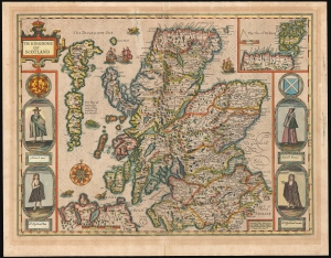
The Kingdome of Scotland.
$1,850.00
Acquire
- Digital Map Information
- Suitable for large format printing
- Full resolution TIFF file
- ICC color profile embedded
- Delivered instantly via download link
This is John Speed's 1676 map of Scotland, the first map of the kingdom published in an English atlas. It was included in Speed's The Theatre of the Empire of Great Britaine, which was the first collection of maps of the counties of the British Isles. The map's engraving is the work of Jodocus Hondius, who engraved many of the plates of Speed's atlases. (The border figures are the work of an unknown engraver.) (more details)
The Most Beautiful 17th Century English Map of Africa, in a. beautiful old color example.
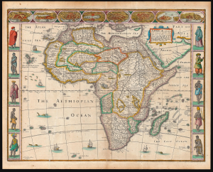
Africae described, the manners of their Habits, and buildings newly done into English by I. S. Are to be sold by Tho Basset in Fleet Street, and Ric Chiswell in St. Pauls Churchyard.
$3,000.00
Acquire
- Digital Map Information
- Suitable for large format printing
- Full resolution TIFF file
- ICC color profile embedded
- Delivered instantly via download link
This is John Speed's 1626 map of Africa, the first English map of the continent, in a beautifully colored 1676 edition. This beautiful map is one of the most desirable early maps of Africa, combining superb engraving, attractive Dutch styling, and entertaining and abundant English text. Moreover, the present example sports old color of unusually high quality. (more details)
Visually Entertaining English Map of Africa.
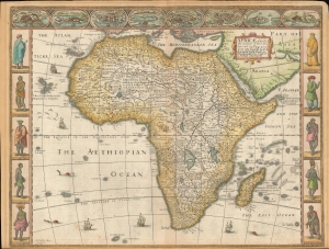
Africae described , the manners of their Habits, and buildings newly done into English by I. S. Are to be sold by Tho Basset in Fleet Street, and Ric Chiswell in St. Pauls Churchyard.
$2,500.00
Acquire
- Digital Map Information
- Suitable for large format printing
- Full resolution TIFF file
- ICC color profile embedded
- Delivered instantly via download link
This is John Speed's 1626 map of Africa. It is the first English map of the continent. This beautiful map is one of the most desirable early maps of Africa, combining superb engraving, attractive Dutch styling, and entertaining and abundant English text. Speed was an accomplished historian and compiler, drawing his maps from state-of-the-art sources. His atlases of the British Isles and the World are among the signal cartographic works of the 17th century. The cartography for this map is drawn from the maps of Jodocus Hondius (whose student Goos actually engraved the map). Hondius' source was ultimately Willem Blaeu's 1608 wall map of Africa. As is the case with all of these maps, the map demonstrates 17th century European geography's detailed knowledge of Africa's coasts wedded to a deep mystification of the interior. The course of the Nile, for example, is shown in substantially the same configuration as was supposed in the second century by Claudius Ptolemy. Speed adds descriptive text - for example, noting areas in western and central Africa where gold is said to be found, and indicating areas said to be occupied by Amazons. (more details)
'For an earnest collector of old maps of Persia, this could be the first map.' ~ Alai
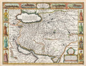
The Kingdome of Persia with the cheef Citties and Habites described. By John Speede.
$2,200.00
Acquire
- Digital Map Information
- Suitable for large format printing
- Full resolution TIFF file
- ICC color profile embedded
- Delivered instantly via download link
This is John Speed's map of Persia in its 1676 Bassett and Chiswell edition. This beautiful map is one of the most desirable early maps of the Near East, combining superb engraving, attractive Dutch styling, and entertaining and abundant English text. While Speed cannot be accused of innovation as a mapmaker, he was an accomplished historian and compiler. His atlases of the British Isles and the World are among the signal cartographic works of the 17th century. (more details)
Key Border County Between England and Wales.
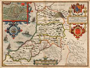
Cardigan Shyre Described with the due forme of the Shiretown as it was surveyed by I.S. Anno 1610.
$750.00
Acquire
- Digital Map Information
- Suitable for large format printing
- Full resolution TIFF file
- ICC color profile embedded
- Delivered instantly via download link
This is John Speed's map of the county of Cardiganshire, Wales. Engraved in 1608, this map was included in a 1627 edition of Speed's The Theatre of the Empire of Great Britaine. While many of Speed's maps were derived from the work of Christopher Saxton, this one was founded on Speed's own surveys. The map is beautifully engraved - this, the work of Jodocus Hondius - and identifies the county's towns, major villages, and its five hundreds of Genau'r-Glyn (Llanbadarn on the map), Ilar (Llanylar), Moyddyn, Penarth and Troedyraur. Rivers are marked and named. The region's mountainous terrain is indicated pictorially, with special emphasis placed on 'Plinillimon Hill' - that is to say, Plynlimon or Pen Pumlumon Fawr, the highest point of the Cambrian Mountains in Wales, and the source of the rivers Severn, Wye and Rheidol. (The headwaters of these rivers are all shown.) (more details)
Masterwork of Dutch Engraving in Original Color Heightened with Gold.
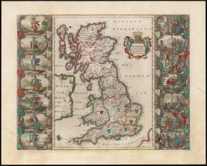
Britannia prout divisa fuit temporibus Anglo-Saxonum praestertim durante illorum Heptarchia.
$3,000.00
Acquire
- Digital Map Information
- Suitable for large format printing
- Full resolution TIFF file
- ICC color profile embedded
- Delivered instantly via download link
This is a beautiful original color example of Joan Blaeu's map of England in the early Middle Ages. It features masterfully engraved illustrations of early British kings. (more details)
Most beautiful 17th century map of the Channel Islands.
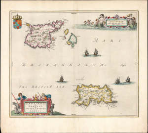
Sarnia insula, vulgo Garnsey et Insula Caesaraea, Vernacule Jarsey.
$1,200.00
Acquire
- Digital Map Information
- Suitable for large format printing
- Full resolution TIFF file
- ICC color profile embedded
- Delivered instantly via download link
This is a gorgeous, original-color example of Joan Blaeu's 1645 map of Guernsey and Jersey, the most beautiful map of the primary Channel Islands to be produced in the 17th century. (more details)
Stonehenge and the English Civil War.
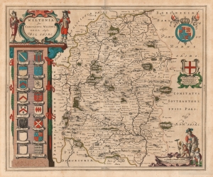
Wiltonia sive Comitatus Wiltoniensis; Anglis Wilshire.
$500.00
Acquire
- Digital Map Information
- Suitable for large format printing
- DPI: 600
- File Size: 53.46 MB
- File Type: ZIP / TIFF
- ICC color profile embedded
- Delivered instantly via download link
This is Joan Blaeu's 1645 map of the county of Wiltshire in southwestern England. While not the first atlas map to detail the county (this honor goes to Speed's map, from which Blaeu's is derived), it is among the most beautifully engraved and colored. (more details)
Key Border County Between England and Wales.
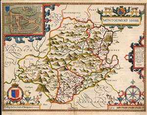
Montgomery shire.
$750.00
Acquire
- Digital Map Information
- Suitable for large format printing
- Full resolution TIFF file
- ICC color profile embedded
- Delivered instantly via download link
This is John Speed's map of the county of Montgomeryshire, Wales. Engraved in 1610, it was included in a 1646 edition of Speed's The Theatre of the Empire of Great Britaine. Speed derived this work from Christopher Saxton's extremely rare 1579 map of the county and added updated detail including the attractive town plan. The map is richly detailed, showing towns, abbeys, castles, forests, and parklands. The countryside's mountainous terrain is shown pictorially. An inset plan in the upper left details the castle and town of Montgomery. In it, a key labels the important streets, locations of the castle itself, and the city's wall (ruined since 1402.) The map includes a beautifully rendered compass rose, and the arms of Phillip Herbert (1584 - 1650). Herbert was the fourth Earl of Pembroke, and a favorite of King James I (1566 - 1625), who made Pembroke the Earl of Montgomery in 1605. (more details)
Scare Rea edition.
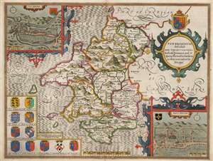
Penbrokshyre described and the situations both of Penbroke and St. Davids shewed in due form as they were taken by John Speed.
$750.00
Acquire
- Digital Map Information
- Suitable for large format printing
- Full resolution TIFF file
- ICC color profile embedded
- Delivered instantly via download link
This is John Speed's map of the county of Pembrokeshire, Wales. Engraved in 1608, this map was printed by publisher Roger Rea between 1662 and 1665. While Rea and his son produced an edition of Speed's The Theatre of the Empire of Great Britaine, examples of their output were also sold to their competitor John Overton (1640 - 1708) for inclusion in his atlases. These lacked the verso text that generally characterizes Speed maps, and such examples are scarce. Moreover, much of the stock remaining to Roger Rea the Younger after his father's death of the plague was itself destroyed in the 1666 Great Fire of London. Thus, any example of a Speed map with the imprint of 'Roger Rea the Elder and younger' is a rarity. (more details)
Men of Harlech on to glory...
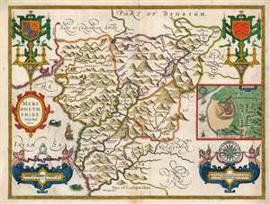
Merionethshire Described 1610.
$750.00
Acquire
- Digital Map Information
- Suitable for large format printing
- Full resolution TIFF file
- ICC color profile embedded
- Delivered instantly via download link
This is John Speed's map of the county of Merionethshire, Wales. It was included in Speed's The Theatre of the Empire of Great Britaine. Despite its depicting one of the most sparsely-populated counties of the United Kingdom, the map is richly detailed, showing towns, castles, forests, and lakes. The countryside's mountainous terrain is illustrated pictorially. An inset plan in the center right shows the town of Harlech, whose castle dominates the image much as it does the legend of the town, its famous siege being immortalized in song. Just offshore, the sea facing the castle sports a mermaid. (more details)
Celebrating Henry V, 'The Great Triumpher Over France'
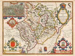
The Countye of Monmouth wih the sittuation of the Shiretowē Described Ann 1610.
$750.00
Acquire
- Digital Map Information
- Suitable for large format printing
- Full resolution TIFF file
- ICC color profile embedded
- Delivered instantly via download link
This is John Speed's map of the county of Monmouthshire, Wales. It was included in Speed's The Theatre of the Empire of Great Britaine. The map is richly detailed, showing towns, abbeys, castles, forests, and parklands. The countryside's rugged terrain is shown pictorially. An inset plan in the upper left details the castle and town of Monmouth. In it, a key labels the important streets, locations of the castle itself, St. Mary's Church, the town market, and the city's old wall and gates. Below the inset is a medallion depicting England's King Henry V (1386 - 1422), who was also known as Henry of Monmouth. King Henry's famed victories in the Hundred Years' War are celebrated in the medallion's text, 'Kinge Henry 5, The Great Triumpher Over France.' Henry's famous victory at Agincourt was nearly two centuries distant at the time this map was engraved: but those remote events had been made current by Shakespeare's 'Henriad' plays, which fixed Henry as the exemplar of the noble English war leader. (more details)
Essential Map for the Carolina Collector.
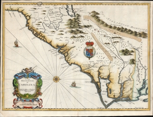
A New Description of Carolina.
$4,500.00
Acquire
- Digital Map Information
- Suitable for large format printing
- Full resolution TIFF file
- ICC color profile embedded
- Delivered instantly via download link
A bright example of the important and scarce map of the Carolina colony engraved by Francis Lamb for inclusion in the 1676 Bassett and Chiswell edition of John Speed's atlas. It is one of the earliest English maps of the colony acquirable by the collector, published just six years after the founding of Charleston. It is a map of seminal importance: an essential document in the history of the Carolinas and the British settlements in North America. (more details)
De l'Isle's British Isles.
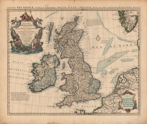
Les Isles Britanniques ou sont le Rme d'Angleterre tiré de Sped, celuy d'Ecosse tiré de Th. Pont, etc. et celuy d'Irlande tiré de Petti. Le tout rectifié par diverses Observations.
$500.00
Acquire
- Digital Map Information
- Suitable for large format printing
- Full resolution TIFF file
- ICC color profile embedded
- Delivered instantly via download link
A c. 1718 example of Covens and Mortier's issue of De l'Isle's map of the British Isles. Combining terrestrial and maritime information in splendid detail, this example is also distinguished by old color, refreshed, and heightened with gold. (more details)
Marking the Momentous Battle of Bosworth.
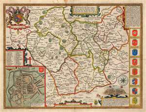
Leicester, both Countye and Citie described, the Honorabe Famylies that have had titles of Earls thereof. With other accidents therein observed.
$750.00
Acquire
- Digital Map Information
- Suitable for large format printing
- Full resolution TIFF file
- ICC color profile embedded
- Delivered instantly via download link
This is John Speed's 1770 map of the East Midlands county of Leicestershire, England. It was first included in Speed's county atlas and remained in publication long after Speed's death, and in this case this specific map was printed in Cluer Dicey's scarce, final edition of 1770. The map is richly detailed, showing towns, abbeys, castles, forests, and parklands. An inset plan in the lower left details the walled town of Leicester with a key naming thirty-four streets, gates and buildings. Along the right side of the map are displayed the armorial crests of eight of the historical Earls of Leicester. At the bottom are the arms of Robert Sidney, the second Earl of Leicester (probably added by Bassett and Chiswell in 1676). At the upper left are the Royal Arms, with the motto 'Dieu et Mon Droit.' (more details)