
NEW ACQUISITIONS
Striking early example of Chromolithographic Viewmaking.
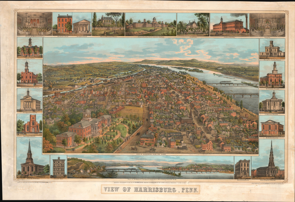
View of Harrisburg, Penn.
$4,000.00
Acquire
- Digital Map Information
- Suitable for large format printing
- File Size: 51.36 MB
- File Type: ZIP / TIFF
- ICC color profile embedded
- Delivered instantly via download link
This is a rare 1855 J. T. Williams view of Harrisburg, Pennsylvania. It is a stunning early use of chromolithography for viewmaking. The view captures Harrisburg as a prosperous regional railroad hub, fast becoming the nation's 'coal gateway,' connecting the state's vast mineral wealth to the Atlantic coast and beyond. (more details)
Westward Expansion.
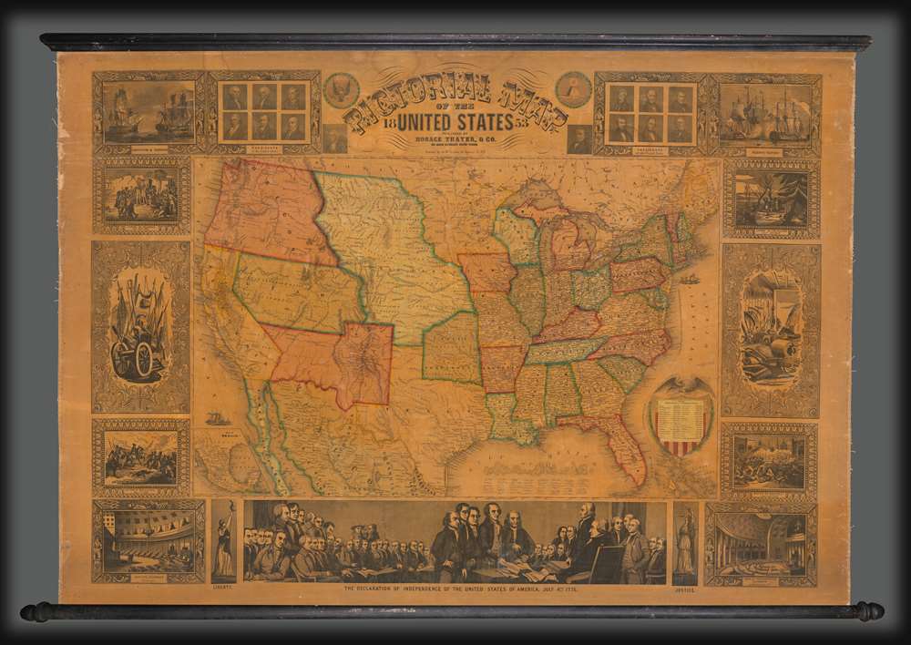
Pictorial Map of the United States.
$3,000.00
Acquire
- Digital Map Information
- Suitable for large format printing
- DPI: 600
- File Size: 1802.6 MB
- File Type: ZIP / TIFF
- ICC color profile embedded
- Delivered instantly via download link
A highly decorative 1853 wall map of the United States is published by Horace Thayer and engraved by J. M. Atwood. This map was published in editions from 1847 - 58, covering thus the critical moments of the American westward expansion, with each edition being significantly updated to reflect the rapid changes endemic to that heady period. The present 4th edition example reveals major developments following the 1849 Gold Rush. (more details)
Bellin puts it all together...
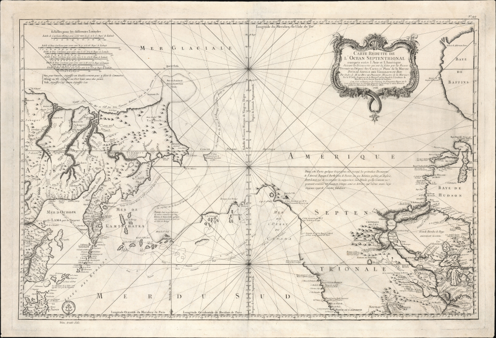
Remarques sur la Carte reduite de l'océan septentrional, compris entre l'Asie et l'Amérique, suivant les découvertes qui ont été faites par les Russes; dressée au Dépôt des cartes et plans de la Marine, pour le service des vaisseaux du roi, par ordre de M. le duc de Praslin, ministre d'etat, ayant le département de la Marine.
$2,750.00
Acquire
- Digital Map Information
- Suitable for large format printing
- File Size: 39.82 MB
- File Type: ZIP / TIFF
- ICC color profile embedded
- Delivered instantly via download link
A beautiful example of Bellin's splendidly engraved 1766 map of the Pacific Northwest, Alaska, the Bering Strait, and Siberia. This map is significant as a reactionary piece to the waves of cartographic speculation about the American Pacific Northwest that defined the first half of the 18th century. Bellin, the premier hydrographer of his generation, here attempts to make sense of it all, bringing together the speculations of the previous generation, his own geographical expertise, and issuing, for the first time on a French map, Frederick Müller's revolutionary cartography relating to the discoveries of Vitus Bering and Aleksei Chirikov. (more details)
Correcting the Zambezi. First Amsterdam edition.
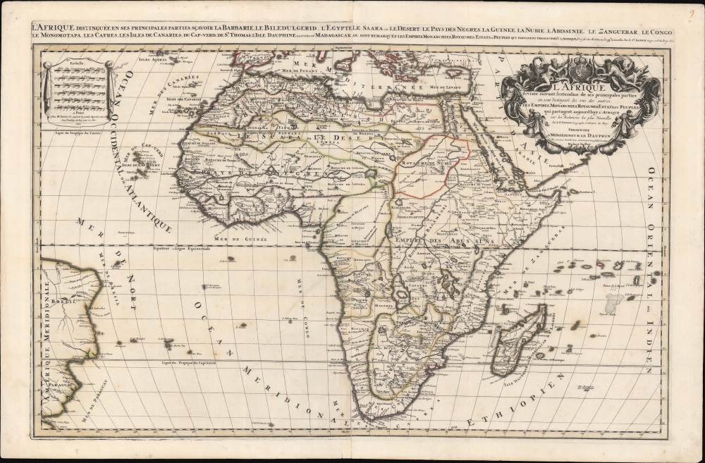
L'Afrique distinguée en ses principales parties, sçavoir La Barbarie, Le Biledulgerid, L'Egypte, Le Saara ou le Desert, Le Pays des Negres, La Guinee, La Nubie, L Abissinie, Le Zanguebar, Le Congo, Le Monomotapa, Les Cafres, Les Iles de Canarie, du Cap-Verd, de St.Thomas, L'Isle Dauphine, autrement Madagascar, ou sont remarqués les Empires, Monarchies, Royaumes, Estats, et peuples qui partagent presentement L'Afrique.Tiré sur les Relations les plus nouvelles. Par le Sr. Sanson, Geographe ordre. du Roy.
$1,800.00
Acquire
- Digital Map Information
- Suitable for large format printing
- DPI: 600
- File Size: 1120.48 MB
- File Type: ZIP / TIFF
- ICC color profile embedded
- Delivered instantly via download link
This is a spectacular 1692 first Pierre Mortier edition of Alexis-Hubert Jaillot and Guillaume Sanson's large-format map of Africa - one of the largest and most beautiful atlas maps of the continent to appear in the 17th century, here in a striking old color example. This map is most significant for it correction of the location of the Zambezi River, correctly placing it north of Sofala. (more details)
An extraordinary level of detail.

Map of Boston Common and Public Garden.
$1,500.00
Acquire
- Digital Map Information
- Suitable for large format printing
- Full resolution TIFF file
- ICC color profile embedded
- Delivered instantly via download link
This is a 1901 George H. Walker and Co. large-format folding map of Boston Common and the Public Garden in Boston, Massachusetts. It is the most detailed commercial map of these public spaces ever produced, recording many individual trees, floral displays, and tulip beds, among other features. (more details)
New York at the Start of the Great Depression
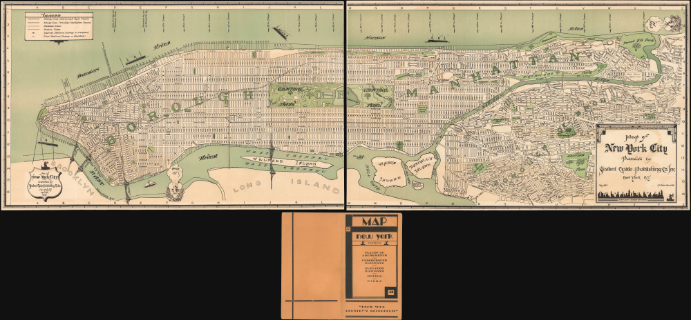
Map of New York City Published by Student Guide Publishing Co. Inc. New York, N.Y.
$1,200.00
Acquire
- Digital Map Information
- Suitable for large format printing
- File Size: 63.79 MB
- File Type: ZIP / TIFF
- ICC color profile embedded
- Delivered instantly via download link
This is a whimsical, Art Deco-inspired 1930 large-format two-sheet map of New York City (Manhattan and the Bronx) prepared by the Student Guide Publishing Company. It captures the city at a period of transition, on the cusp of the great public works projects of the 1930s that would reshape the city, and particularly its connections to the wider metropolitan area. (more details)
The American Riviera.
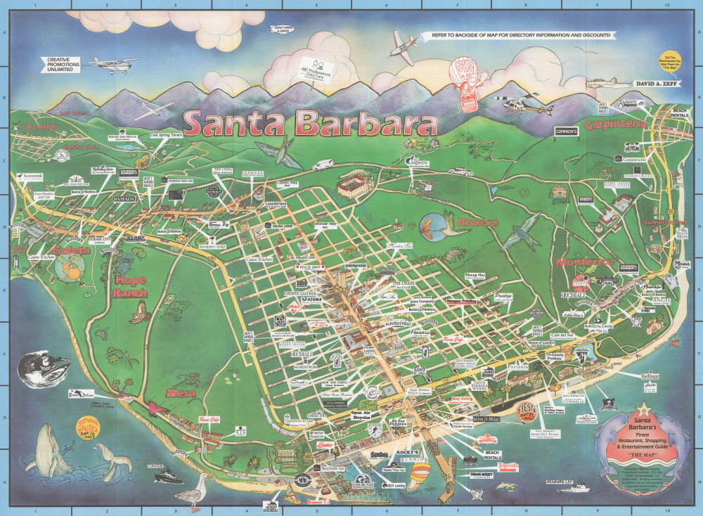
Santa Barbara's Finest Restaurant, Shopping and Entertainment Guide 'The Map.'
$250.00
Acquire
This is a colorful 1998 pictorial promotional view of Santa Barbara, California, prepared by Creative Promotions. It captures the enduring charm of the area's quintessential California scenery, sandwiched between the mountains and the ocean. (more details)
Earliest Geological Map of the UAE - the underpinning of regional oil development.
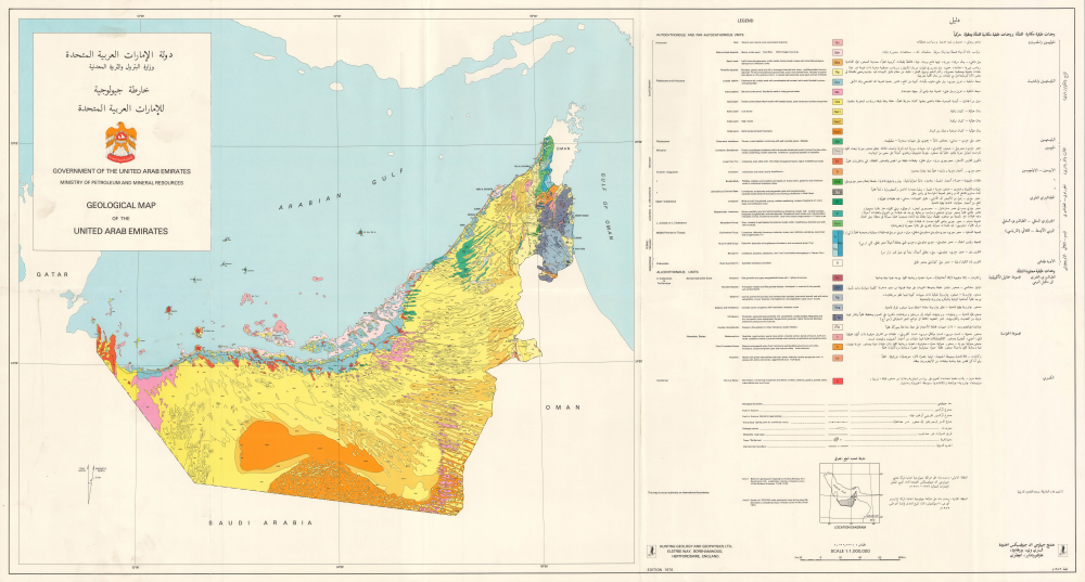
خارطة جيولوجية للإمارات العربية المتحدة / Geological Map of the United Arab Emirates.
$16,000.00
Acquire
This is a scarce, large-format bilingual 1976 geological map of the United Arab Emirates prepared by Hunting Geology and Geophysics Ltd. Produced just after the country's independence and formation, it represents the earliest geological map of the UAE and a benchmark on the country's exploitation of petroleum, which has fueled its phenomenal economic growth in the decades since. (more details)
One of the most decorative maps of the 18th century.
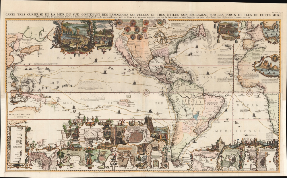
Carte très curieuse de la Mer du Sud, contenant des Remarques Nouvelles et très utiles non seulement sur des Ports et Îles de cette Mer, mais aussy sur les principaux Pays de l'Amerique tant Septentrionale que Méridionale en a été faite.
$15,500.00
Acquire
- Digital Map Information
- Suitable for large format printing
- Full resolution TIFF file
- ICC color profile embedded
- Delivered instantly via download link
One of the most spectacularly decorative maps of the 18th century, this is Henri Chatelain's magnificent 1719 map of the Americas and the Pacific. This sumptuously engraved map is centered on the American continent but extends west to include all of the Pacific as far as Beijing (Peking), China and Australia, and eastward to include much of Europe and the western half of Africa. Longitudinally it extends from the Hudson Bay to the southern tip of Tierra del Fuego. The map is graphically rich with a wealth of lush inset maps and vignette illustrations throughout. The whole is further embellished with copious annotations offering Chatelain's insights on local traditions, flora and fauna, political commentary, and notes on trade. (more details)
The best introduction to Cosmography, in a complete, original example.
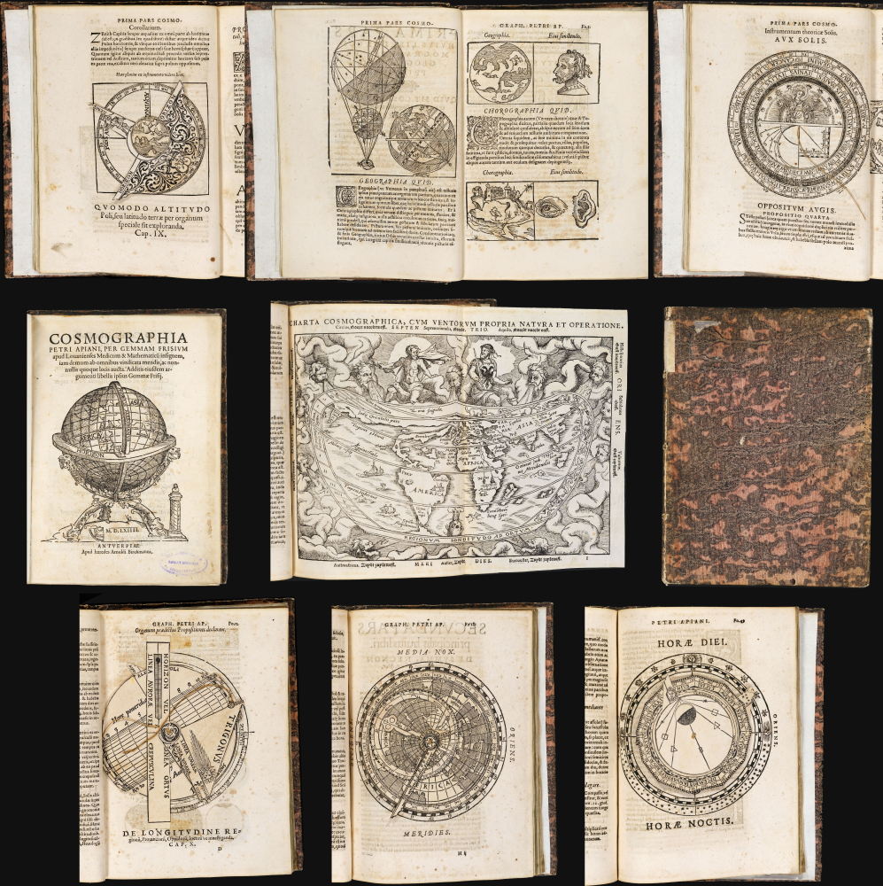
Cosmographia Petri Apiani, Per Gemmam Frisium apud Louanienses Medicum et Mathematicū insignem, iam demum ab omnibus vindicata mendis, ac nonnullis quoque locis aucta. Additis eiusdem argumenti libellis ipsius Gemmae Frisij.
$11,000.00
Acquire
- Digital Map Information
- Suitable for large format printing
- Full resolution TIFF file
- ICC color profile embedded
- Delivered instantly via download link
This is Gemma Frisius' 1564 edition of Peter Apian's Cosmographia, which from 1524 was the essential scholarly introduction to the world and its place in the cosmos. This concise text touched on astronomy, geography, cartography, and navigation. It was not a rote copy of Apianus' text, with significant commentary from Gemma, as well as that scholar's own world map. The text includes its five volvelles, all assembled and in their original condition. These manipulable diagrams are often found missing parts or replaced in facsimile; the condition of these here represents a remarkable survival. (more details)
Grandiose Statement of British Territorial Ambition. - First Map of America to name Philadelphia.
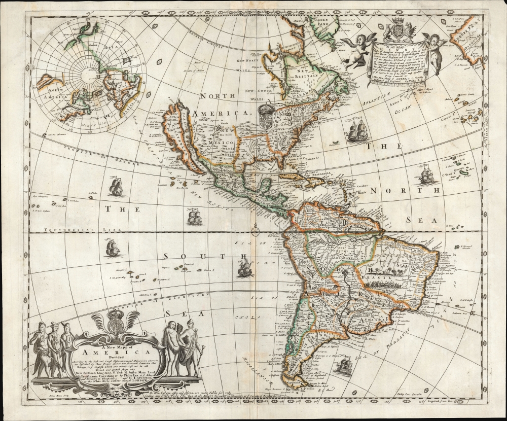
A New Mapp of America Devided According to the Best and latest Observations and Discoveries wherein are discribed by their Proper Names the seaverall Countries that Belonge to ye English which are wholly left out in all French and Dutch maps viz New Scotland, Long Iland, N. York, N. Jarsey, Mary Land, Pensilvania Carrolina etc. by Philip Lea at ye Atlas and Hercules in Cheapside and by J. Overton at the White Horse without Newgat London.
$9,500.00
Acquire
- Digital Map Information
- Suitable for large format printing
- Full resolution TIFF file
- ICC color profile embedded
- Delivered instantly via download link
This is a rare, important, separately issued 1688 English map of America, printed by Philip Lea and John Overton. It was first issued in 1684, explicitly as a rebuttal to French and Dutch maps and their representation of European spheres of influence in North America. It is the first general map of America to name Philadelphia, set in a boldly exaggerated depiction of 'The English Empire' in North America. (more details)
Landmark map of North America.
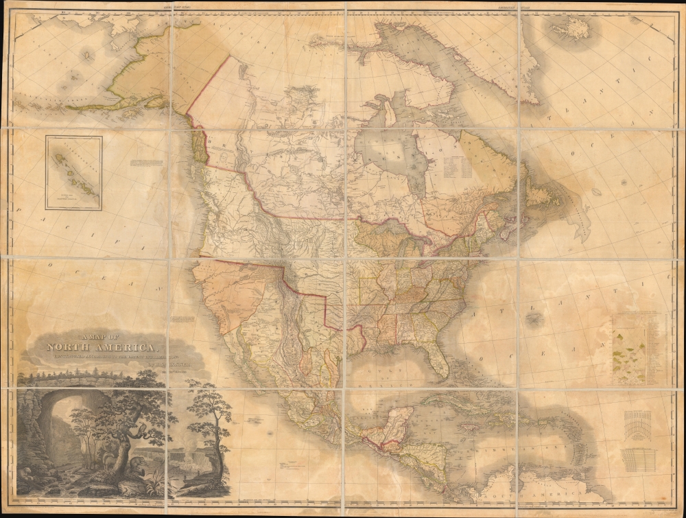
A Map of North America Constructed According to the Latest Information by H. S. Tanner.
$6,500.00
Acquire
- Digital Map Information
- Suitable for large format printing
- File Size: 172.54 MB
- File Type: ZIP / TIFF
- ICC color profile embedded
- Delivered instantly via download link
An example of Henry Schenk Tanner's 1825 landmark map of North America, considered to be the most important 19th-century map of North America. Revolutionary in countless ways, this is the most accurate map of North America the world of 1825 had yet seen, particularly the little-understood western parts. The task before Tanner in assembling this map, piecing together the cartography of an unknown country from piecemeal, often unreliable reports, was monumental. Tanner draws on Aaron Arrowsmith, Lewis and Clark, Alexander von Humboldt, Zebulon Pike, Stephen Harriman Long, Daniel Williams Harmon, George Vancouver, and others. (more details)
Scarce, separately issued 'carte-á-figures' of America.
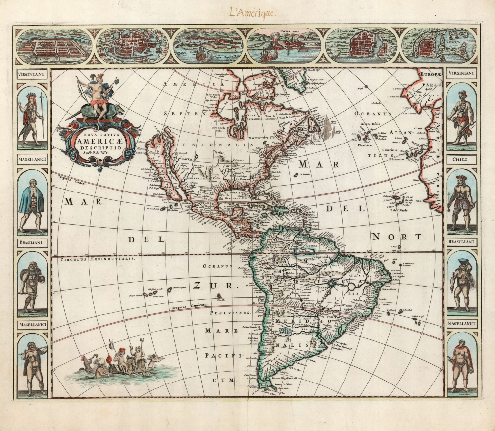
Nova Totius Americae Descriptio Auct. F. de Wit.
$5,500.00
Acquire
- Digital Map Information
- Suitable for large format printing
- Full resolution TIFF file
- ICC color profile embedded
- Delivered instantly via download link
This is Frederic De Wit's scarce, separately issued 1660 carte à figures map of America. This beautifully engraved map was one of a handful produced by De Wit to showcase his skill as he struck out on his own as a mapmaker, after having worked for many years under the Blaeu family. It represents a synthesis of traditional imagery with state-of-the-art geographical ideas. It was not intended for any particular atlas, although surviving examples occasionally appear bound into other works, including Doncker's Zee-Atlas. (more details)
The first edition of one of the most distinctive maps of the Dutch Golden Age.

Nova Belgica Et Anglia Nova.
$5,000.00
Acquire
- Digital Map Information
- Suitable for large format printing
- Full resolution TIFF file
- ICC color profile embedded
- Delivered instantly via download link
This is the rare 1634 first atlas edition of Willem Blaeu's foundational map of the American Northeast, presenting the regions settled by the Dutch (New Netherlands) and the English (New England). Uniquely oriented to the west, Blaeu's map covers the American coast from Virginia, past New York and Long Island to Cape Cod, New England, and Quebec. The map is the first of the region to depict the fur-bearing and food animals of the region accurately, and it does so in profusion. Between this imagery and the fleet of trade ships heading towards the coast, the decorative elements vividly emphasize the region's resource wealth. (more details)
Stunning Wall Map of Qatar.

Qatar / قطر.
$3,000.00
Acquire
This is a scarce, large-format bilingual wall map of Qatar, produced in 1990 by Clyde Surveys and Qatar's Ministry of Industry and Public Works. It was produced at a time when the country was in the early stages of development of its natural gas industry, which has since become world-leading. (more details)
Propagandizing Egypt's National Awakening.
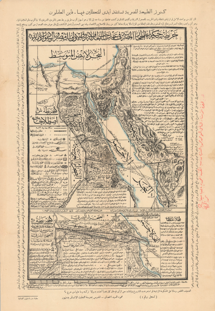
...خريطة حكمدارية بيتِ المقدسِ ومحملِ الحجازِ والجزائرِ المصريةِ / [Map of the Governorship of Jerusalem, the Hajj Caravan, the Egyptian Provinces...].
$2,500.00
Acquire
- Digital Map Information
- Suitable for large format printing
- File Size: 14.2 MB
- File Type: ZIP / TIFF
- ICC color profile embedded
- Delivered instantly via download link
This is a unique and striking c. 1926 Arabic-language map of the Suez and environs, including Palestine, the Hijaz, and Egypt, printed by the Damanhur Industrial School Press. Replete with religious and patriotic messages, the map was part of a wider national awakening in early 20th-century Egypt that eventually rebuffed British de facto rule over the country. More specifically, it promotes a never-built railway through Egypt's Eastern Desert linking the Nile and the Red Sea that would have provided economic benefits as well as a faster route for Hajj pilgrims from the Nile's heartland. (more details)
Sailing to Australia for the Victoria Gold Rush!

Carte de L'Australie ou Nouvelle Hollande, dressée d'aprés les derniers documents Anglais part Robiquet, Hydrographe, Paris.
$1,500.00
Acquire
- Digital Map Information
- Suitable for large format printing
- File Size: 67.19 MB
- File Type: ZIP / TIFF
- ICC color profile embedded
- Delivered instantly via download link
A handsome, exquisitely detailed 1863 first edition of Aimé Robiquet's privately published nautical chart or maritime map of Australia. Covering all of Australia, with Tasmania represented as an inset, this map was published to capitalize on navigation to Melbourne associated with the Victoria Gold Rush - hence the large inset of Port Phillip, the access point to Melbourne and the wealth lying just inland. Robiquet compiled this chart from the most up-to-date English sources, with several modifications and additions of his own to increase accuracy. (more details)
Scarce, Unusual Promotional View of New York City.

Great Restaurants of New York.
$1,000.00
Acquire
This is a scarce 1985 pictorial promotional view of Manhattan, New York City, drawn by Alan E. Cober for Postermotions. It highlights New York City's fine dining scene at a time when the city was struggling with peak levels of crime, drugs, and homelessness. (more details)
Extremely rare, suppressed first edition of a groundbreaking chart.
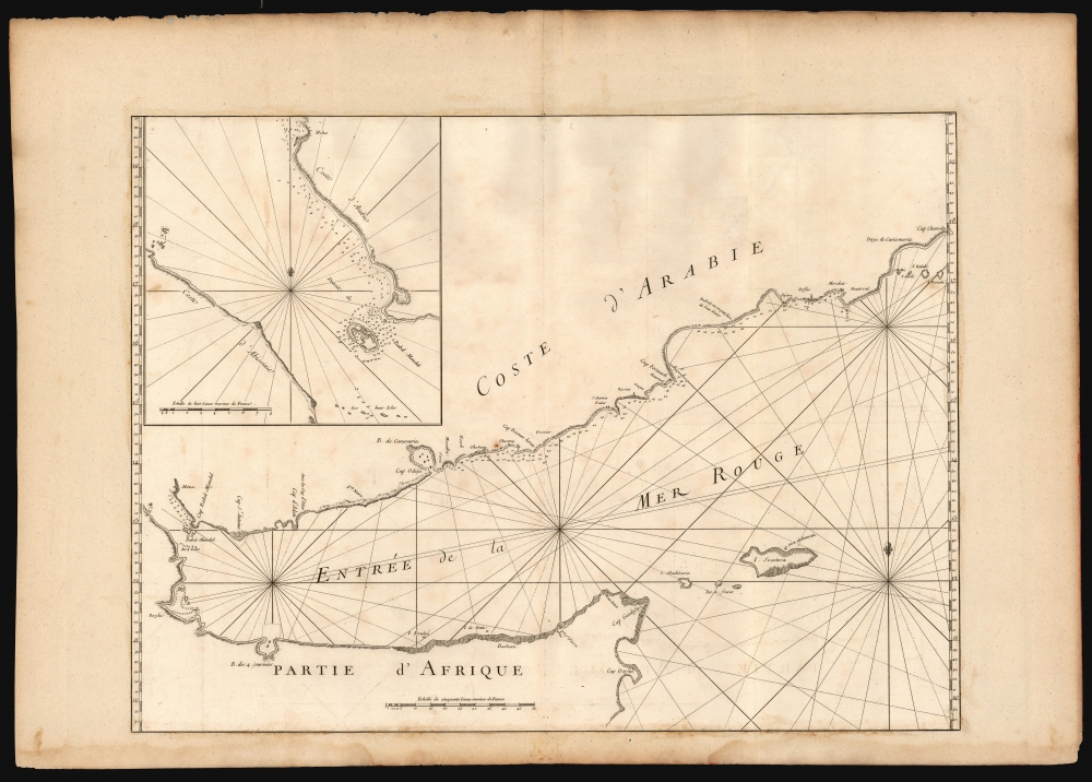
[Untitled chart of the Gulf of Aden].
$950.00
Acquire
- Digital Map Information
- Suitable for large format printing
- DPI: 600
- File Size: 75.74 MB
- File Type: ZIP / TIFF
- ICC color profile embedded
- Delivered instantly via download link
This is the extremely rare 1745 first edition of D'Après de Mannevillette's groundbreaking nautical chart of the Gulf of Aden. Although censured by the French Admiralty and thus exceedingly scarce, this map represents one of the earliest scientific measurements of these coastlines. (more details)
A Groundbreaking Dutch Map of Norway.
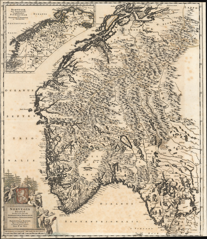
Nova Totius Angliae, Scotiae, et Hiberniae Tab: Auctore Frederick de Wit.
$500.00
Acquire
- Digital Map Information
- Suitable for large format printing
- File Size: 29.65 MB
- File Type: ZIP / TIFF
- ICC color profile embedded
- Delivered instantly via download link
This beautifully engraved map is Frederick De Wit's c. 1688 map of Norway. Ginsberg's typically coy praise should ring loudly: 'We Wit's map of Norway... attests to his originality and skill. Here is a representation that truly merits being called a map of the country,' that country being Norway. None of this map's precursors focused so well on Norway itself, and with such detail as this. (more details)