
Sales, Jean-Baptiste-Claude Delisle de Sales (sold) (Jean-Baptiste Isoard de Lisle)
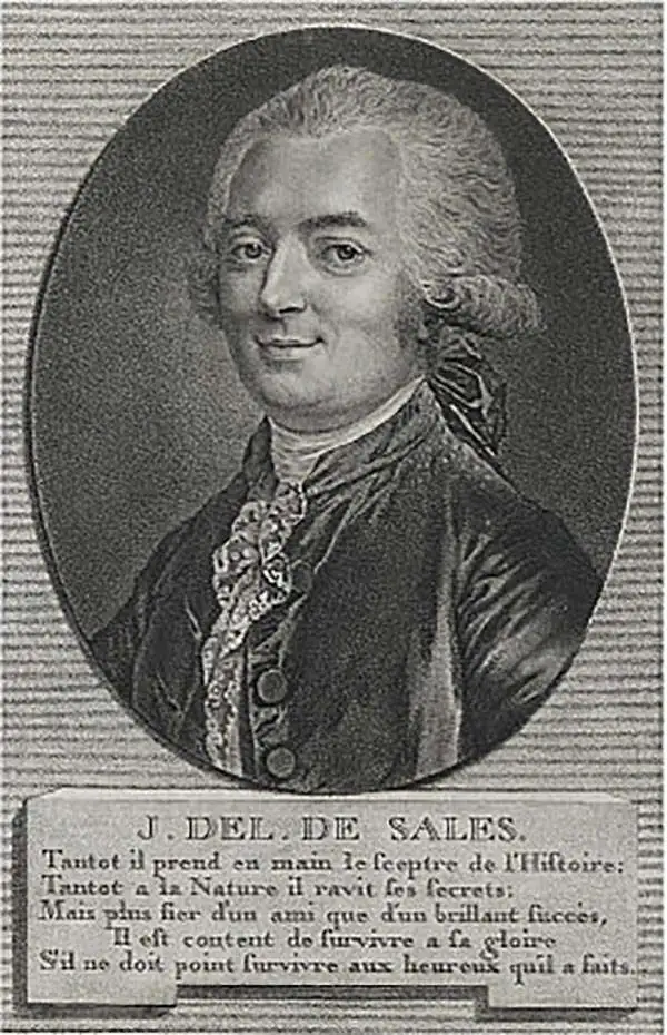
Jean-Baptiste-Claude Delisle de Sales or Jean-Baptiste Isoard de Lisle (1741–1816) was a French philosopher, historian, and accused heretic active in the late 18th century. Sales is best known for his publication of the multi-volume opus The Philosophy of Nature: Treatise on Human Moral Nature. The work, among other ideas, challenged the Biblical theory that the earth was created in 4004 BC. Instead, Sales put forth the theory based upon astronomical observations, that the earth was 140,000 years old. Sales' revolutionary ideas caused him to be declared a heretic by the Catholic Church. His publications were subsequently censored and, for the most part, destroyed. As a consequence all of his works are today extremely rare. Sales was also, notably, a close friend of Voltaire who in 1777 visited him in prison, gifting him 500 pounds towards his release. Delisle de Sales is unrelated to the more famous De L'Isle family of cartographers.
AKA: Jean-Baptiste Isoard de Lisle
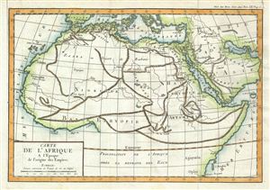
Carte de l'Afrique A l'Epoque de l'origine des Empires.
sold
- Digital Map Information
- Suitable for large format printing
- DPI: 300
- File Size: 4.08 MB
- File Type: ZIP / TIFF
- ICC color profile embedded
- Delivered instantly via download link
This is a fascinating example of the 1770 Jean-Baptiste-Claude Delisle de Sales' map of the northern half of Africa. It depicts northern Africa during a period the cartographer refers to as the 'Origin of Empires.' Exactly what he means by this in unclear, ... (more details)
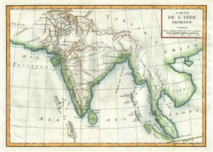
Carte de l'Inde Primitive.
sold
- Digital Map Information
- Suitable for large format printing
- DPI: 300
- File Size: 3.91 MB
- File Type: ZIP / TIFF
- ICC color profile embedded
- Delivered instantly via download link
This is a fascinating example of the 1770 Jean-Baptiste-Claude Delisle de Sales' map of India. It depicts India during ancient times, as described by the Greek explorer and ethnographer Megasthenes in his work Indica . The map covers from modern day ... (more details)
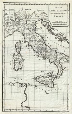
Carte de l'Italie Ancienne.
sold
- Digital Map Information
- Suitable for large format printing
- DPI: 300
- File Size: 4.53 MB
- File Type: ZIP / TIFF
- ICC color profile embedded
- Delivered instantly via download link
This is an uncommon 1770 map of Italy during ancient Roman times, by Jean- Baptiste-Claude Delisle de Sales. The map covers all of Italy in the days of the Roman Empire from Cisalpine Gaul to Sicily, including the islands of Corsica and Sardinia. ... (more details)
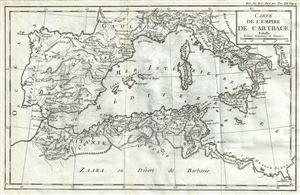
Carte de l'Empire de Carthage.
sold
- Digital Map Information
- Suitable for large format printing
- DPI: 300
- File Size: 4.02 MB
- File Type: ZIP / TIFF
- ICC color profile embedded
- Delivered instantly via download link
This is an interesting 1770 map by Jean- Baptiste-Claude Delisle de Sales, depicting the Empire of Carthage. Centered on the Mediterranean, the map covers from Bordeaux in France to the Province of Tripoli and includes the modern day nations of ... (more details)
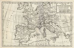
Carte de l'Empire de Charlemagne pour servir aux Histoires de France et d'Allemagne.
sold
- Digital Map Information
- Suitable for large format printing
- DPI: 300
- File Size: 4.21 MB
- File Type: ZIP / TIFF
- ICC color profile embedded
- Delivered instantly via download link
This is a beautiful example of the 1770 Jean- Baptiste-Claude Delisle de Sales' map of the Empire of Charlemagne. It covers Europe and the European Empire of Charles the Great from Ireland south as far as northern Africa and from Portugal to ... (more details)
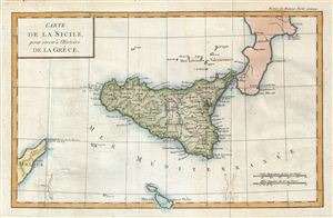
Carte de la Sicile, pour servir a l'Histoire de la Grece.
sold
- Digital Map Information
- Suitable for large format printing
- DPI: 300
- File Size: 4.25 MB
- File Type: ZIP / TIFF
- ICC color profile embedded
- Delivered instantly via download link
This is a beautiful example of the 1770 Jean-Baptiste-Claude Delisle de Sales' map of Sicily. It covers the Mediterranean Island in its entirety nearby Malta. Sicily became a Greek colony around 750 BC. Syracuse, identified in this map, ... (more details)
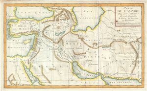
Carte de l'Assyrie Pour servir a l'Histoire des trois Monarchiea de Ninive, de Babylone et d'Ecbatane.
sold
- Digital Map Information
- Suitable for large format printing
- DPI: 300
- File Size: 4.09 MB
- File Type: ZIP / TIFF
- ICC color profile embedded
- Delivered instantly via download link
This is a beautiful example of the 1770 Jean-Baptiste-Claude Delisle de Sales' map of ancient Assyria. Essentially a map of the entire Middle East and Persia, this map covers from the Black Sea to the Gulf of Oman and from the ... (more details)
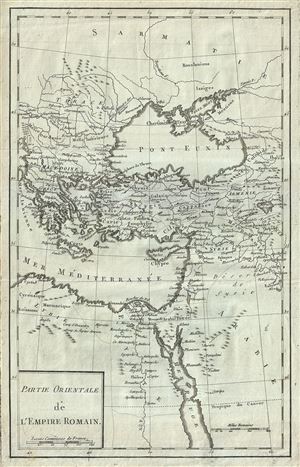
Partie Orientale de l'Empire Romain.
sold
- Digital Map Information
- Suitable for large format printing
- DPI: 300
- File Size: 4.45 MB
- File Type: ZIP / TIFF
- ICC color profile embedded
- Delivered instantly via download link
This is an attractive 1770 map of the Eastern Roman Empire by Jean- Baptiste-Claude Delisle de Sales. It covers the eastern portion of the Mediterranean inclusive of Greece, and extends inland as far as modern day Armenia. ... (more details)
Scarce map of the Pesian Gulf.
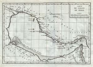
Carte du Golfe de Perse.
sold
- Digital Map Information
- Suitable for large format printing
- DPI: 300
- File Size: 4.25 MB
- File Type: ZIP / TIFF
- ICC color profile embedded
- Delivered instantly via download link
This is a beautiful example of the 1770 Jean-Baptiste-Claude Delisle de Sales' map of the Persian Gulf. The map covers from Basra to the Strait of Hormuz, and includes parts of modern day Kuwait, Bahrain, Qatar, Iran, the ... (more details)
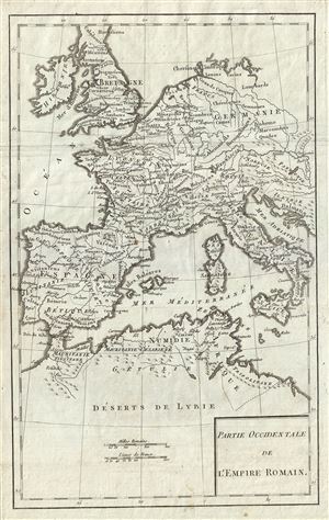
Partie Occidentale de l'Empire Romain.
sold
- Digital Map Information
- Suitable for large format printing
- DPI: 300
- File Size: 4.25 MB
- File Type: ZIP / TIFF
- ICC color profile embedded
- Delivered instantly via download link
An appealing 1770 map of the Western Roman Empire by Jean- Baptiste-Claude Delisle de Sales. The map covers the western portion of the Roman Empire from Portugal to the Adriatic Sea and from Britain to northern Africa. ... (more details)
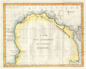
Carte pour l'Expedition de l'Amiral Hannon.
sold
- Digital Map Information
- Suitable for large format printing
- DPI: 300
- File Size: 2.25 MB
- File Type: ZIP / TIFF
- ICC color profile embedded
- Delivered instantly via download link
This is a fascinating example Jean-Baptiste-Claude Delisle de Sales' 1770 map of western Africa. Oriented to the west, this map covers northwest Africa from the coast of Benin to the Mediterranean Sea. This map depicts ... (more details)
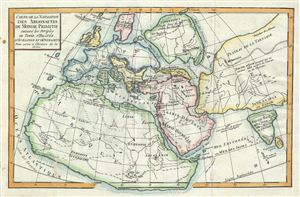
Carte de la Navigation des Argonautes du monde Primitif suivant les periples de Timee, d'Hecatee, d'Apollonius et d'Onomacrite Pour servir a l'Histoire de la Greece.
sold
- Digital Map Information
- Suitable for large format printing
- DPI: 300
- File Size: 4.32 MB
- File Type: ZIP / TIFF
- ICC color profile embedded
- Delivered instantly via download link
This is a fascinating example of Jean-Baptiste-Claude Delisle de Sales' map 1770 of the Ancient World. Is as much as it was understood by ancient Greek Geographicus, Delisle de Sales' map depicts the entire world and ... (more details)
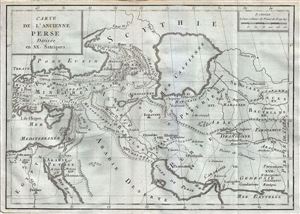
Carte de l'Ancienne Perse Divisee en XX. Satrapies.
sold
- Digital Map Information
- Suitable for large format printing
- DPI: 300
- File Size: 4.07 MB
- File Type: ZIP / TIFF
- ICC color profile embedded
- Delivered instantly via download link
This is a rare 1782 map of ancient Persia by Jean- Baptiste-Claude Delisle de Sales. The map covers the lands of the First Persian Empire as divided into 20 Satrapies or provinces from Turkey and the Mediterranean ... (more details)
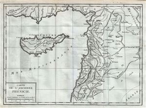
Carte de l'Ancienne Phinicie.
sold
- Digital Map Information
- Suitable for large format printing
- DPI: 300
- File Size: 3.9 MB
- File Type: ZIP / TIFF
- ICC color profile embedded
- Delivered instantly via download link
This is a scarce 1782 map of Phoenicia or modern day Cyprus, Lebanon, Syria and Israel or Palestine (Holy Land) by Jean- Baptiste-Claude Delisle de Sales. The map covers from southern Turkey to Palestine and ... (more details)
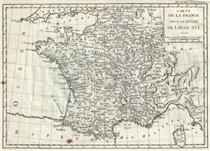
Carte de la France sous le Regne de Louis XVI.
sold
- Digital Map Information
- Suitable for large format printing
- DPI: 300
- File Size: 4.58 MB
- File Type: ZIP / TIFF
- ICC color profile embedded
- Delivered instantly via download link
This is a beautiful 1782 map by Jean- Baptiste-Claude Delisle de Sales depicting France during the reign of Louis XVI. The map covers all of France and part of modern day Belgium and Switzerland from ... (more details)
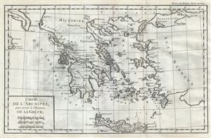
Carte de l'Archipel pour servir a l'Histoire de la Grece.
sold
- Digital Map Information
- Suitable for large format printing
- DPI: 300
- File Size: 4.53 MB
- File Type: ZIP / TIFF
- ICC color profile embedded
- Delivered instantly via download link
This is a scarce 1782 Jean- Baptiste-Claude Delisle de Sales Map of Greece and the Greek Archipelago. The map covers southern Greece, the Greek Isles and Crete from the Macedonia and the boot of ... (more details)
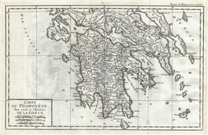
Carte du Peloponese, pour servir a l'Histoire de la Grece.
sold
- Digital Map Information
- Suitable for large format printing
- DPI: 300
- File Size: 4.19 MB
- File Type: ZIP / TIFF
- ICC color profile embedded
- Delivered instantly via download link
This is a beautiful 1782 map of southern Greece by Jean- Baptiste-Claude Delisle de Sales. The map covers the entire Peloponnese peninsula including the islands of Ithaca, Cephalonia, Zaknythos ... (more details)
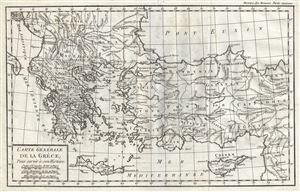
Carte Generale de la Grece.
sold
- Digital Map Information
- Suitable for large format printing
- DPI: 300
- File Size: 4.44 MB
- File Type: ZIP / TIFF
- ICC color profile embedded
- Delivered instantly via download link
This is a lovely 1782 map of Greece, Turkey and the Balkans by Jean- Baptiste-Claude Delisle de Sales. The map covers from the Adriatic Sea and the boot of Italy eastward to cover the Black ... (more details)
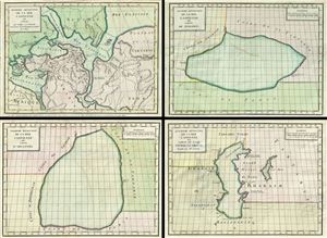
Premiere revolution de la mer Caspienne ou Carte qui indique son Etendue vers le tems de la Population Primitive de l'Asie. Seconde Revolution de la mer Caspienne ou carte de Ptolemee. Troissieme Revolution de la mer Caspienne ou carte d'Abulfeda. Quatrieme Revolution de la mer Caspienne ou carte du Czar Pierre le Grand Rectifiee par Mr. d'Anville.
sold
- Digital Map Information
- Suitable for large format printing
- DPI: 300
- File Size: 17.35 MB
- File Type: ZIP / TIFF
- ICC color profile embedded
- Delivered instantly via download link
This is a fascinating 1792 set of four maps of the Caspian Sea by Jean-Baptiste-Claude Delisle de Sales. They illustrate the mapping of the Caspian Sea over time. The first map, from upper ... (more details)