
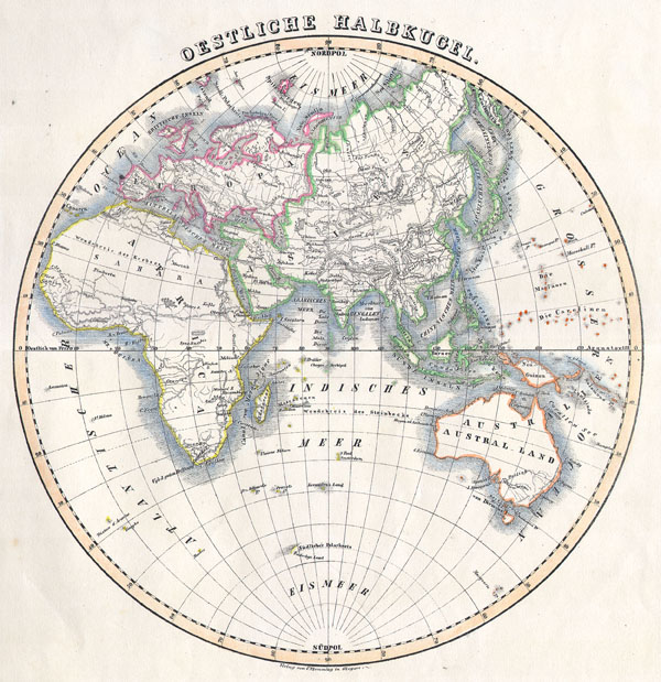
Eastern Hemisphere
$150.00
Acquire
- Digital Map Information
- Suitable for large format printing
- Full resolution TIFF file
- ICC color profile embedded
- Delivered instantly via download link
This attractive hand colored map depicts the Eastern Hemisphere including Africa, Europe, Asia and Australia. Printed in 1844 by well known map publisher C. ... (more details)

Pennsylvania.
sold
- Digital Map Information
- Suitable for large format printing
- File Size: 3.51 MB
- File Type: ZIP / TIFF
- ICC color profile embedded
- Delivered instantly via download link
This hand colored map is a lithographic engraving, dating to 1874 by the legendary American mapmaker S.A. Mitchell Jr. This is a rare representation of ... (more details)

Johnson's Italy. / Venetia, Kingdom of Italy, Piedmont & Lombardy, Aemilia Tuscany, The Marches & Umbria and the States of the Church.
sold
- Digital Map Information
- Suitable for large format printing
- File Size: 2.74 MB
- File Type: ZIP / TIFF
- ICC color profile embedded
- Delivered instantly via download link
A marvelous 1864 map of Italy by the American cartographic publisher A. J. Johnson. Depicts the Italian peninsula in the midst of its struggle for ... (more details)
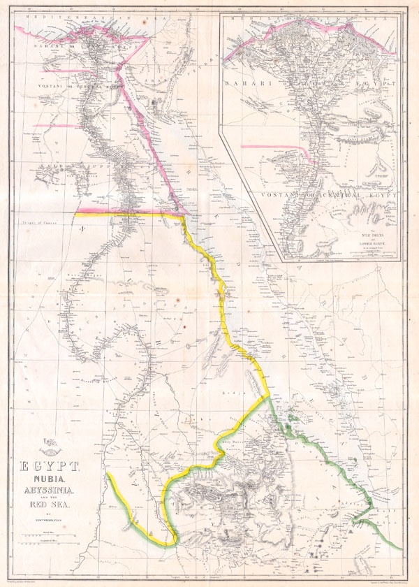
Egypt, Nubia, Abyssinia and the Red Sea.
sold
- Digital Map Information
- Suitable for large format printing
- File Size: 3.47 MB
- File Type: ZIP / TIFF
- ICC color profile embedded
- Delivered instantly via download link
This hand colored map is a lithographic transfer, dating to 1858, by London cartographer Edward Weller. Depicts northeastern Africa from the city ... (more details)

Johnson’s Northern Italy, Lombardy, Venice, Sardinia, Tuscany, Parma, Modena, Lucca, and the States of the Church. / Johnson’s Southern Italy, Kingdom of Naples, I. Sardinia & Malta.
sold
- Digital Map Information
- Suitable for large format printing
- File Size: 3.44 MB
- File Type: ZIP / TIFF
- ICC color profile embedded
- Delivered instantly via download link
This is a beautifully hand colored 1862 lithograph map of Italy. Divides the region into Northern and Southern parts according to the current (in ... (more details)
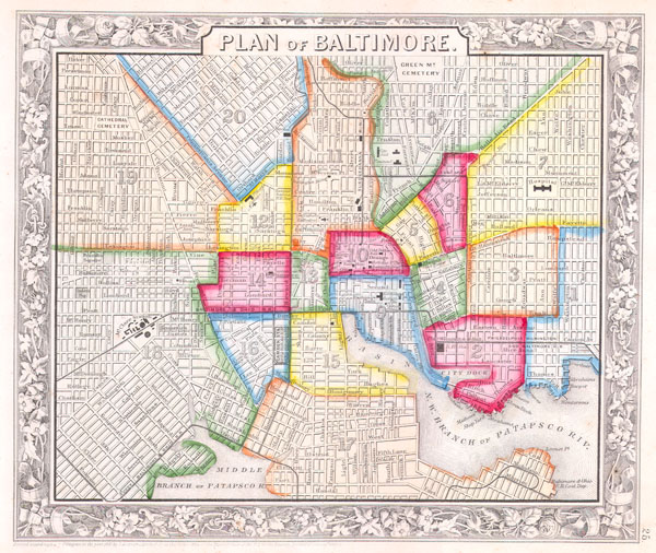
Plan of Baltimore.
sold
- Digital Map Information
- Suitable for large format printing
- File Size: 4.12 MB
- File Type: ZIP / TIFF
- ICC color profile embedded
- Delivered instantly via download link
This scarce hand colored map is a lithographic engraving of Baltimore, Maryland, dating to 1860 by the legendary American Mapmaker S.A. Mitchell, ... (more details)

Topography of Sparta, Ancient Greece and Environs.
sold
- Digital Map Information
- Suitable for large format printing
- Full resolution TIFF file
- ICC color profile embedded
- Delivered instantly via download link
This lovely little map of Sparta, in the west of Ancient Greece, was prepared by M. Barbie de Bocage in 1785 for the 'Travels of Anarcharsis.' ... (more details)

Johnson’s Virginia, Delaware, Maryland & West Virginia.
sold
- Digital Map Information
- Suitable for large format printing
- File Size: 5.17 MB
- File Type: ZIP / TIFF
- ICC color profile embedded
- Delivered instantly via download link
This is a beautifully hand colored 1864 lithograph map of the Virginia, Delaware, Maryland and West Virginia. This important map appeared ... (more details)
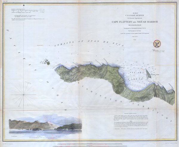
Cape Flattery and Nee-ah Harbor, Washington.
sold
- Digital Map Information
- Suitable for large format printing
- Full resolution TIFF file
- ICC color profile embedded
- Delivered instantly via download link
Offered is a rare nautical chart of Cape Flattery and Nee-ah Harbor on the Juan de Fuca Straights, Washington State. Cape Flattery is the ... (more details)

Massachusetts and Rhode Island.
sold
- Digital Map Information
- Suitable for large format printing
- File Size: 6.37 MB
- File Type: ZIP / TIFF
- ICC color profile embedded
- Delivered instantly via download link
This is Colton's 1855 hand colored map of the states of Massachusetts and Rhode Island. Covers the region in considerable detail ... (more details)
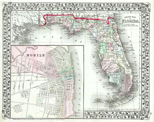
County Map of Florida.
sold
- Digital Map Information
- Suitable for large format printing
- File Size: 3.32 MB
- File Type: ZIP / TIFF
- ICC color profile embedded
- Delivered instantly via download link
This hand colored antique map of Florida is a lithographic engraving dating to 1874 by the important American map publisher ... (more details)
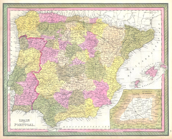
Spain and Portugal.
sold
- Digital Map Information
- Suitable for large format printing
- DPI: 300
- File Size: 4.91 MB
- File Type: ZIP / TIFF
- ICC color profile embedded
- Delivered instantly via download link
This hand colored map is a copper plate engraving, dating to 1850, by the legendary American mapmaker S. A. Mitchell, the ... (more details)

Mexico & Guatemala.
sold
- Digital Map Information
- Suitable for large format printing
- Full resolution TIFF file
- ICC color profile embedded
- Delivered instantly via download link
This scarce hand colored map is a lithographic engraving of Mexico. Roughly covers the territory of modern day Mexico ... (more details)

South America.
sold
- Digital Map Information
- Suitable for large format printing
- DPI: 300
- File Size: 5.13 MB
- File Type: ZIP / TIFF
- ICC color profile embedded
- Delivered instantly via download link
This is an attractive hand colored 1850 map of South America by the important American map publisher S. A. Mitchell, ... (more details)

A Pox on Rebels in ther Crymes
sold
This is a rare and extraordinary powder horn dating to 1775, just prior to the Revolutionary War. Features a ... (more details)

Colton's Georgetown and the City of Washington The Capital of the United States of America.
sold
- Digital Map Information
- Suitable for large format printing
- File Size: 6 MB
- File Type: ZIP / TIFF
- ICC color profile embedded
- Delivered instantly via download link
A very attractive example of Colton's 1855 Map of Washington D.C. and Georgetown. Covers the city in ... (more details)
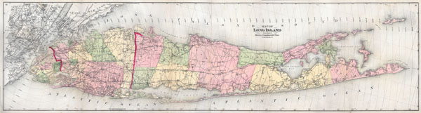
Map of Long Island
sold
- Digital Map Information
- Suitable for large format printing
- File Size: 4.54 MB
- File Type: ZIP / TIFF
- ICC color profile embedded
- Delivered instantly via download link
A first edition, first issue, of one of the largest and most impressive maps of Long Island, New York ... (more details)
Extremely rare broadside map of New York City.

New-York City & County Map with Vicinity entire Brooklyn Williamsburgh Jersey City &c. in the 79th Year of Independence of the United States
sold
- Digital Map Information
- Suitable for large format printing
- File Size: 14.56 MB
- File Type: ZIP / TIFF
- ICC color profile embedded
- Delivered instantly via download link
An altogether extraordinary 1855 map of New York City issued by map publisher Charles Magnus in ... (more details)

New York and Brooklyn.
sold
- Digital Map Information
- Suitable for large format printing
- File Size: 11.55 MB
- File Type: ZIP / TIFF
- ICC color profile embedded
- Delivered instantly via download link
This beautiful hand colored map is a lithographic engraving of New York City, dating to 1867, ... (more details)

Sketch H. Showing the progress of the Survey in Section no. VIII 1846 - 1857.
sold
- Digital Map Information
- Suitable for large format printing
- File Size: 5.03 MB
- File Type: ZIP / TIFF
- ICC color profile embedded
- Delivered instantly via download link
A rare hand colored 1857 coastal triangulation chart of the coast line of Mississippi and ... (more details)