
Beautiful map of the Champagne and Brie producing regions of France.
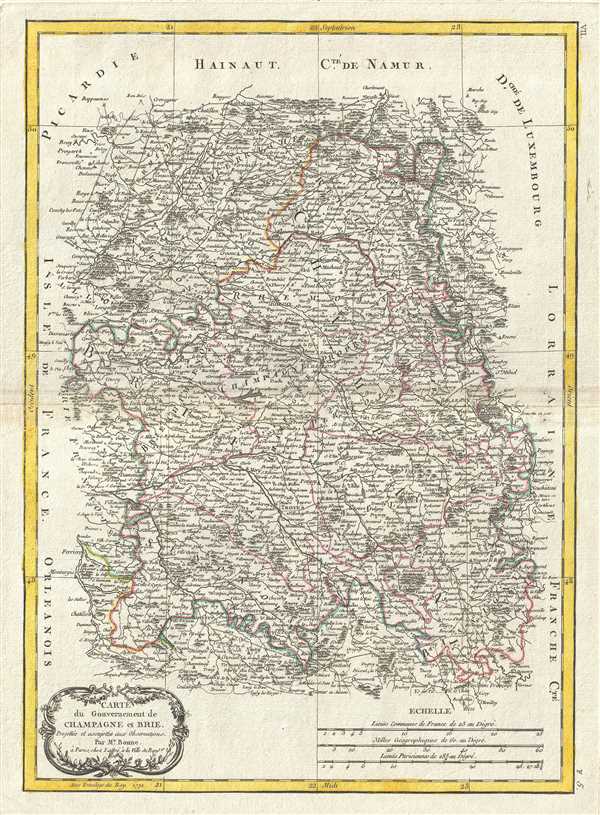
Carte du Gouvernement de Champagne et Brie.
sold
- Digital Map Information
- Suitable for large format printing
- DPI: 300
- File Size: 9.38 MB
- File Type: ZIP / TIFF
- ICC color profile embedded
- Delivered instantly via download link
A beautiful example of Rigobert Bonne's 1771 decorative map of the French winemaking region of Champagne and the cheese making region of Brie. Covers the departments of Champagne and Brie from Picardie to Franche and from Isle de France to the Duchy of Luxembourg. ... (more details)
18th century map of the French wine and cheese producing region of Brittany.
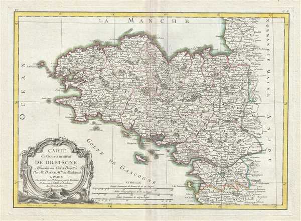
Carte du Gouvernement De Bretagne.
sold
- Digital Map Information
- Suitable for large format printing
- DPI: 300
- File Size: 8.87 MB
- File Type: ZIP / TIFF
- ICC color profile embedded
- Delivered instantly via download link
This is a scarce 1771 Bonne map of Brittany, France. It covers the former province of Brittany from Granville south to Isle de Noirmoutier and from the Celtic Sea inland as far as Ingrande. The region includes the departments of Finistere, Cotes-d'Amor, ... (more details)
Beautiful 18th century map of France.
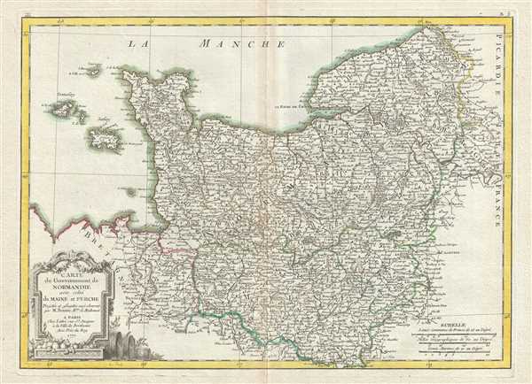
Carte du Gouvernement de Normandie avec celui du Maine et Perche.
sold
- Digital Map Information
- Suitable for large format printing
- DPI: 300
- File Size: 8.96 MB
- File Type: ZIP / TIFF
- ICC color profile embedded
- Delivered instantly via download link
A beautiful example of Rigobert Bonne's 1771 decorative map of Normandy, France. Covers from Bretagne eastward as far as Picardie. Includes the Channel Islands of Guernsey and Jersey. The region is home to Camembert, a soft, creamy, surface-ripened cow's ... (more details)
Beautiful 18th century map of France.
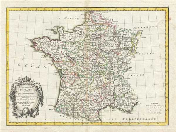
Carte Generale de France divisee par Gouvernements.
sold
- Digital Map Information
- Suitable for large format printing
- DPI: 300
- File Size: 8.84 MB
- File Type: ZIP / TIFF
- ICC color profile embedded
- Delivered instantly via download link
A beautiful example of Rigobert Bonne's decorative 1771 map of France. Covers the entirety of France from Spain to Germany and from the British Channel to the Mediterranean. Divided into provinces with color coding according to region. Offers ... (more details)
Janvier's beautiful map of 'Greater Europe'.
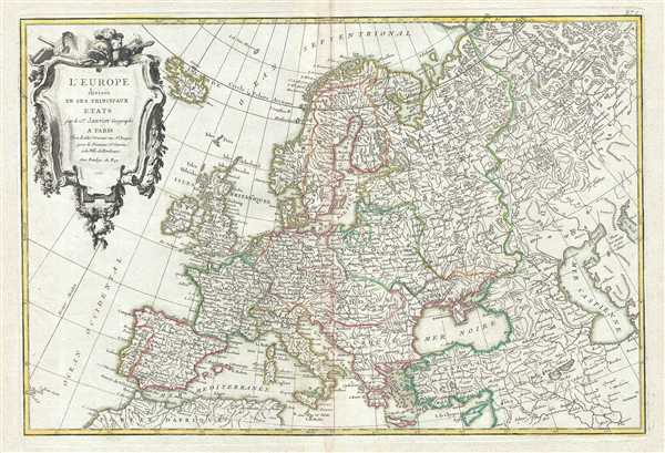
L'Europe divisee en ses Principaux Etats.
sold
- Digital Map Information
- Suitable for large format printing
- DPI: 300
- File Size: 10.83 MB
- File Type: ZIP / TIFF
- ICC color profile embedded
- Delivered instantly via download link
This is a good example of Jean Janvier's 1762 decorative map of the Europe. Janvier's map covers from Iceland to the Caspian Sea and from North Africa to the Arctic. The map is divided into countries and kingdoms with color coding according to ... (more details)
A landmark map of Long Island and the earliest Long Island Wall Map.

Geological Map of Long & Staten Islands with the Environs of New York.
sold
- Digital Map Information
- Suitable for large format printing
- File Size: 29.38 MB
- File Type: ZIP / TIFF
- ICC color profile embedded
- Delivered instantly via download link
Issued prior to the American Civil War and the subsequent Long Island land rush, this is one of the most detailed and attractive large format maps of Long Island to appear in the 19th Century. It is also the first comprehensivle geological ... (more details)
Rare Singapore Map! Only 100 known to have been printed.

Le Detroit de Malacca dresse sur les memoires des plus savans voyageurs modernes.
sold
- Digital Map Information
- Suitable for large format printing
- DPI: 300
- File Size: 1.82 MB
- File Type: ZIP / TIFF
- ICC color profile embedded
- Delivered instantly via download link
An exceptional and scarce 1727 Pieter van der Aa map of the Strait of Malacca and Singapore including parts of adjacent Sumatra and the Malaya Peninsula (Malaysia). Taking full advantage of the small paper size, this map is oriented to ... (more details)
Scarce 1912 Japanese map of Hawaii foreshadowing the Pearl Harbor Attack.
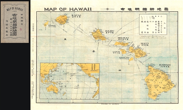
Map of Hawaii.
sold
- Digital Map Information
- Suitable for large format printing
- File Size: 9.11 MB
- File Type: ZIP / TIFF
- ICC color profile embedded
- Delivered instantly via download link
A scarce 1912 or Taisho 1 Japanese map of Hawaii. This map appeared during a period of increasing tension and Japanese interest in Hawaii. In the prior decades, before the Hawaiian Revolution and the Annexation of Hawaii to the ... (more details)
Early promotional broadside map advertising a development in Oak Bluffs, Martha's Vineyard.

PLAN OF LAGOON HEIGHTS, Martha’s Vineyard, MASS.
sold
- Digital Map Information
- Suitable for large format printing
- Full resolution TIFF file
- ICC color profile embedded
- Delivered instantly via download link
A beautiful 1873 promotional map of Lagoon Height, the area of present day Oak Bluffs, Martha's Vineyard, Massachusetts. The map consists of a detailed street plan with housing lots and parks, as well as wonderful vignettes of ... (more details)
Whimsical pictorial map of London.
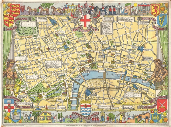
Children's Map of London.
sold
A colorful and attractive c. 1955 pictorial map of London printed by John Bartholomew & Sons. The comp covers central London from Hyde Park to Aldgate and from Green Park to Waterloo Station. The map was issued to raise ... (more details)
Uncommon map of the Americas from the first Austrian world atlas.
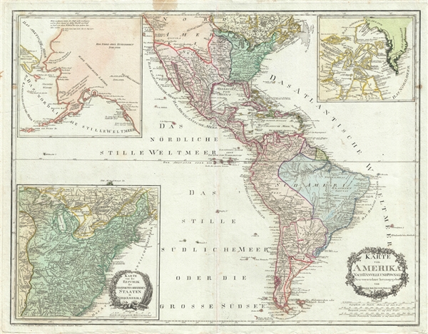
Karte Von Amerika Nach D'Anville Und Pownall.
sold
- Digital Map Information
- Suitable for large format printing
- DPI: 300
- File Size: 25.53 MB
- File Type: ZIP / TIFF
- ICC color profile embedded
- Delivered instantly via download link
A dramatic 1795 large format map of North American and South America by the Austrian cartographer Franz Johann Joseph von Reilly. Depicting American shortly after the end of the American Revolutionary War, this map covers ... (more details)
Important Moon map made for the Apollo 11 Lunar Landing.

Engineer Special Study of the Surface of the Moon, Physiographic Divisions of the Moon.
sold
- Digital Map Information
- Suitable for large format printing
- File Size: 62.32 MB
- File Type: ZIP / TIFF
- ICC color profile embedded
- Delivered instantly via download link
A 1961 landmark study of the Moon made by the U.S. Geological Survey in preparation for the Apollo 11 Lunar Landing Mission. Represents the near side of the Moon on a scale of 1:3,800,000. This spectacular monumentally ... (more details)
Very rare German map of the United States with inset of George Gerding's German colony of Wartburg, Tennessee.
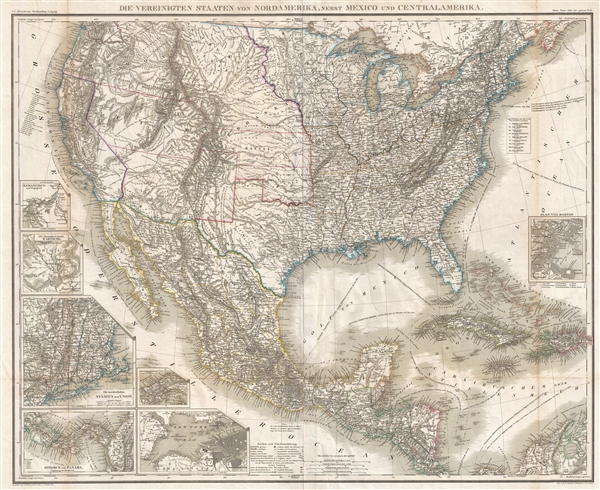
Die Vereinigten Staaten von Nordamerika, nebst Mexico und Centralamerika.
sold
- Digital Map Information
- Suitable for large format printing
- File Size: 28.48 MB
- File Type: ZIP / TIFF
- ICC color profile embedded
- Delivered instantly via download link
A very rare 1855 large format map of the United States, Mexico, and the West Indies. The map covers from the Great lakes to Costa Rica and from the Atlantic to the Pacific. There are seven insets detailing important ... (more details)
Early map of the former rubber plantation where the Johor community of Bandar Baru Permas Jaya now stands.
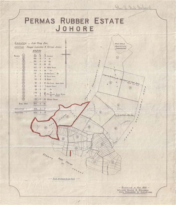
Permas Rubber Estate Johore.
sold
- Digital Map Information
- Suitable for large format printing
- File Size: 3.91 MB
- File Type: ZIP / TIFF
- ICC color profile embedded
- Delivered instantly via download link
This is a 1909 planning survey map for the Permas Rubber Estate and Company. The map details the modern day upper middle class housing estate of (Bandar Baru Permas Jaya), in the Malaysian city of Jahor. As this ... (more details)
Early Coast Survey triangulation chart for New Jersey.

Sketch B. No. 3 Showing the Triangulation and Geographical Positions in Section no. II From New York City to Cape Henlopen.
sold
- Digital Map Information
- Suitable for large format printing
- DPI: 300
- File Size: 10.63 MB
- File Type: ZIP / TIFF
- ICC color profile embedded
- Delivered instantly via download link
This is an exceptional example of the 1851 U.S. Coast Survey's nautical chart or maritime map for New Jersey and the Delaware Bay. It covers the coast line from New York City south through New Jersey to Cape ... (more details)
The most important and influential map of Virginia and Carolina to appear in the 17th century.

Virginiae Item et Floridae Americae Provinciarum, nova Descriptio.
sold
- Digital Map Information
- Suitable for large format printing
- DPI: 300
- File Size: 10.86 MB
- File Type: ZIP / TIFF
- ICC color profile embedded
- Delivered instantly via download link
Published in 1606 by the Mercator – Hondius firm, this is the most influential map of the southeastern part of North America to emerge in the 17th century and the first map to depict by Virginia and ... (more details)
One of the most decorative maps of New York City from the mid-19th century.
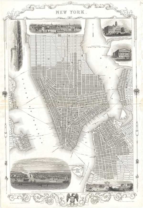
New York.
sold
- Digital Map Information
- Suitable for large format printing
- DPI: 300
- File Size: 10.44 MB
- File Type: ZIP / TIFF
- ICC color profile embedded
- Delivered instantly via download link
This is a beautiful example of John Tallis and John Rapkin’s 1851 decorative map of New York City. Covers the city from the Battery north as far as 42nd Street and includes Governor’s Island and ... (more details)
View of San Francisco just after the 1849 California Gold Rush.

San Francisco. 1854.
sold
- Digital Map Information
- Suitable for large format printing
- DPI: 300
- File Size: 5.39 MB
- File Type: ZIP / TIFF
- ICC color profile embedded
- Delivered instantly via download link
A highly appealing view map of San Francisco dating to 1854. Reveals San Francisco as seen from Nob Hill looking down California Street. Telegraph Hill appears on the left. Shows numerous ... (more details)
The original map upon which the northern Manhattan street grid is based.
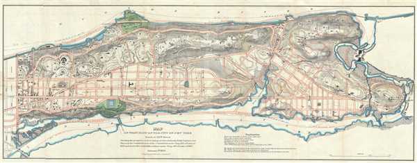
Map of that Part of the City of New York North of 155th Street Showing the progress made in laying out Streets, Roads, Public Squares, and Places, by the Commissioners of the Central Park, under Chap. 565 of Laws of 1865 and of new Pier and Bulkhead lines under Chap. 697 of Laws of 1867.
sold
- Digital Map Information
- Suitable for large format printing
- File Size: 20.07 MB
- File Type: ZIP / TIFF
- ICC color profile embedded
- Delivered instantly via download link
A rare and unusual map of upper Manhattan, New York City, prepared and printed for inclusion in the 1870 Thirteenth Annual Report of the Board of Commissioners of the Central Park. It ... (more details)
A decorative map of Israel, Palestine and the Middle East.
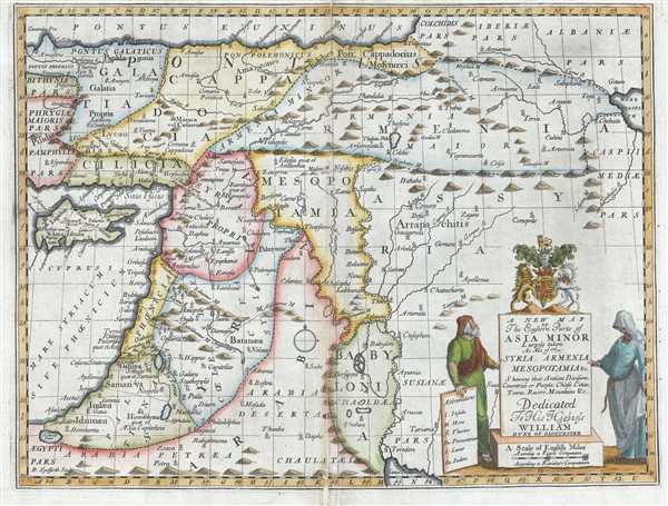
A New Map of the Eastern Parts of Asia Minor Largely taken: As Also of Syria, Armenia, Mesopotamia and c. Showing their Antient Divisions, Countries or People, Chiefe Cities, Towns, Rivers, Mountains, and c. Dedicated to His Highness William Duke of Gloucester.
sold
- Digital Map Information
- Suitable for large format printing
- DPI: 300
- File Size: 9.67 MB
- File Type: ZIP / TIFF
- ICC color profile embedded
- Delivered instantly via download link
This is an unusual 1712 map of the Middle East in antiquity by Edward Wells of Oxford. Covers from the Black Sea to the Persian Gulf and from Cyprus to the Caspian Sea. Includes the ... (more details)