
Early nautical chart of Boston Bay and Harbor.

Boston Harbor Massachusetts.
sold
- Digital Map Information
- Suitable for large format printing
- File Size: 35.82 MB
- File Type: ZIP / TIFF
- ICC color profile embedded
- Delivered instantly via download link
A stunning 1867 example of the U.S. Coast Survey’s nautical chart or maritime map of Boston Bay, Boston Harbor, and environs. The map covers the Massachusetts coastline from Cape Ann southward past Gloucester, Marblehead, Lynn, Boston and Cohasset to Green Harbor ... (more details)
Scarce separate issue nautical chart of Ipswich and Annisquam harbors, Massachusetts.
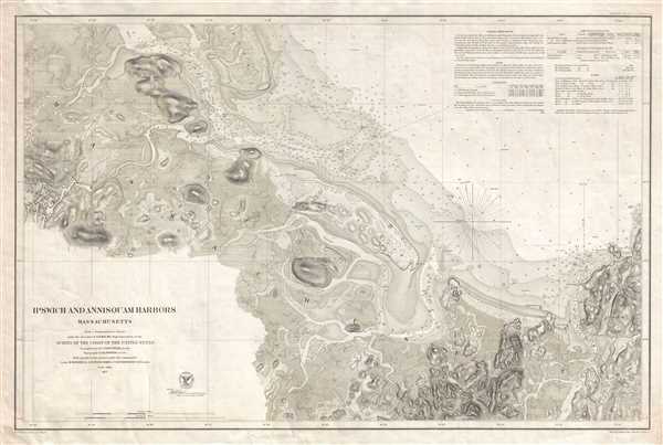
Ipswich and Annisquam Harbors Massachusetts.
sold
- Digital Map Information
- Suitable for large format printing
- File Size: 23.29 MB
- File Type: ZIP / TIFF
- ICC color profile embedded
- Delivered instantly via download link
A scarce 1857 nautical chart of the Ipswich and Annisquam Harbors in Massachusetts. These two important ports are located just north Boston near Cape Ann. Both were centers of for the cod fishing and whaling industries in the 18th and 19th centuries. Today they are ... (more details)
Scarce separate issue nautical chart of Portsmouth Harbor, New Hampshire.

Portsmouth Harbor New Hampshire.
sold
- Digital Map Information
- Suitable for large format printing
- File Size: 16.85 MB
- File Type: ZIP / TIFF
- ICC color profile embedded
- Delivered instantly via download link
This is a beautiful example of the U.S. Coast Survey's 1878 nautical chart or maritime map of Portsmouth Harbor, New Hampshire. It covers the city of Portsmouth, New Hampshire, and its vicinity from Odiornes Point and Sagamore Creek to Chauncy's Creek and Spruce ... (more details)
Large and beautiful plan of Victorian London.
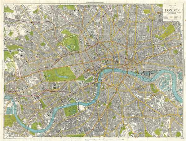
Bacon's New Map of London, Divided into Half Mile Squares & Circles from Charing Cross.
sold
- Digital Map Information
- Suitable for large format printing
- File Size: 62.84 MB
- File Type: ZIP / TIFF
- ICC color profile embedded
- Delivered instantly via download link
This is a beautiful and large c.1890 city plan or map of London by G. W. Bacon. Centered on the Thames River, the map covers from Hampstead to Lapham Common and from Gladstone Park to West Dock. It is divided into both a grid of 1/2 mile squares, and 1/2 mile ... (more details)
Large attractive city plan of Manhattan, New York City.

The Complete Map of New York (Manhattan).
sold
- Digital Map Information
- Suitable for large format printing
- File Size: 18.96 MB
- File Type: ZIP / TIFF
- ICC color profile embedded
- Delivered instantly via download link
This is an excellent map of New York City by Alexander Gross dating to c.1940. The map covers the borough of Manhattan from the Battery north as far as 104th street. Parts of Brooklyn and Queens are included, as is Roosevelt Island (at the time known as ... (more details)
Beautiful early pictorial map of London.

Pictorial Map of London.
sold
- Digital Map Information
- Suitable for large format printing
- File Size: 25.99 MB
- File Type: ZIP / TIFF
- ICC color profile embedded
- Delivered instantly via download link
This is a wonderful World War II era city plan or pocket map of London published c.1942 by the Geographia Map Co. Ltd. It covers downtown London from the Hammersmith Bridge and Wormwood scrubs eastward past Hyde Park and Buckingham Place to Whitechapel ... (more details)
Beautiful separate issued nautical chart of New London Harbor, Connecticut.
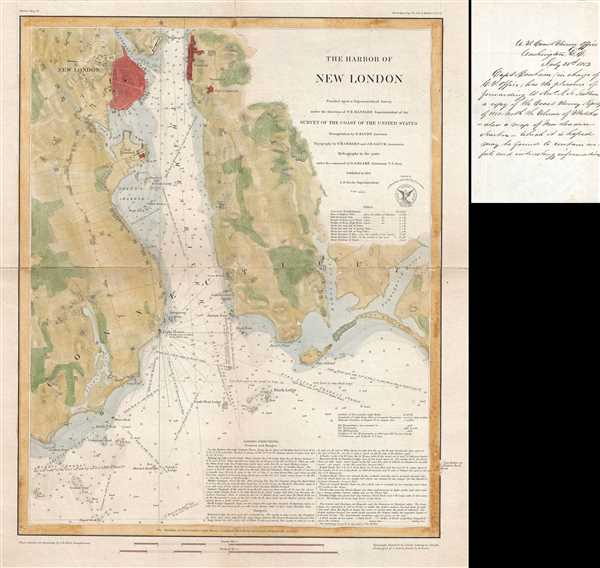
The Harbor of New London.
sold
- Digital Map Information
- Suitable for large format printing
- DPI: 300
- File Size: 9.73 MB
- File Type: ZIP / TIFF
- ICC color profile embedded
- Delivered instantly via download link
This is a beautiful and scarce 1851 electrotype map or nautical chart of the harbor of New London, Connecticut issued by the U.S. Coast Survey. The map, published separately as a presentation copy, covers the city and harbor along the mouth of the ... (more details)
Beautifully detailed maritime map of the Delaware Bay.
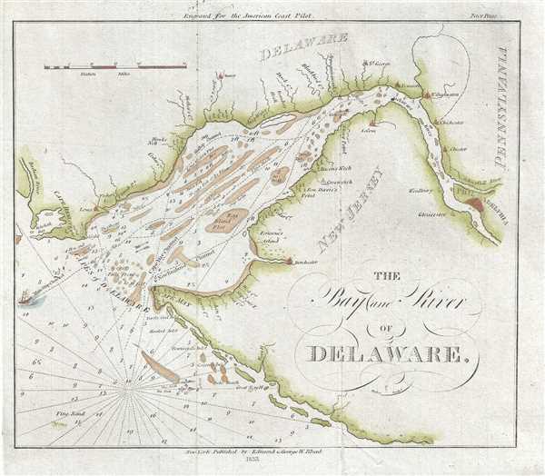
The Bay and River of Delaware.
sold
- Digital Map Information
- Suitable for large format printing
- DPI: 300
- File Size: 2.18 MB
- File Type: ZIP / TIFF
- ICC color profile embedded
- Delivered instantly via download link
This is an attractive 1833 nautical chart or maritime map of the Delaware Bay by Edmund Blunt. It covers part of New Jersey, Delaware and Pennsylvania, noting important towns along the bay, including Philadelphia. Oriented with north to the right, ... (more details)
Early map of Sapello Island and Doboy Sound in Georgia.

[Doboy Sound. Sapello Island].
sold
- Digital Map Information
- Suitable for large format printing
- DPI: 300
- File Size: 1.8 MB
- File Type: ZIP / TIFF
- ICC color profile embedded
- Delivered instantly via download link
This is a beautiful 1833 nautical chart or maritime map of the entrance to Doboy Sound, Georgia by Edmund Blunt. It covers the part of Sapelo Island, Marsh Island, Cabarita Island and Pelican Shoals and notes the north and south breakers. Numerous ... (more details)
Beautiful early maritime map of Cape Poge on Martha's Vineyard.

Cape Poge and adjacent Shoals.
sold
- Digital Map Information
- Suitable for large format printing
- DPI: 300
- File Size: 0.83 MB
- File Type: ZIP / TIFF
- ICC color profile embedded
- Delivered instantly via download link
This is a scarce and beautiful 1833 nautical chart or maritime map of Cape Poge, Martha's Vineyard, Massachusetts. It covers the region including parts of Cape Cod, Martha's Vineyard Island, Chappaquidick Island and Muskeget Island. The towns of ... (more details)
Beautiful pictorial map of the island of Bermuda.
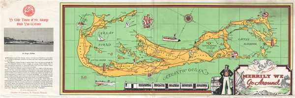
Merrily We Go Around.
sold
- Digital Map Information
- Suitable for large format printing
- File Size: 3.8 MB
- File Type: ZIP / TIFF
- ICC color profile embedded
- Delivered instantly via download link
This is an attractive c.1937 map of Bermuda published by the Chamber of Commerce, St. George, Bermuda. The map covers Bermuda or the Somers Island in beautiful detail, noting towns, parishes, important roads, islands and railways. Several ... (more details)
Beautiful plan of Manhattan, Jersey City, Brooklyn, and Hoboken.
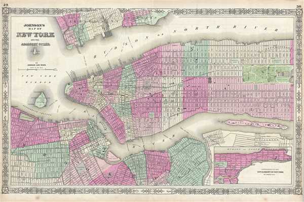
Johnson's Map of New York and the Adjacent Cities.
sold
- Digital Map Information
- Suitable for large format printing
- File Size: 19.89 MB
- File Type: ZIP / TIFF
- ICC color profile embedded
- Delivered instantly via download link
A fine hand colored map of New York City and Brooklyn dating to 1864. It covers the island of Manhattan and the borough of Brooklyn as well as parts of Jersey City and Hoboken. Johnson's plan is heavily based upon the third state of J. ... (more details)
Manuscript map of Deception Island, the safest harbor in Antarctica.

Deception Island New South Shetland.
sold
- Digital Map Information
- Suitable for large format printing
- DPI: 300
- File Size: 0.79 MB
- File Type: ZIP / TIFF
- ICC color profile embedded
- Delivered instantly via download link
This is a beautiful c.1835 schoolgirl or schoolboy manuscript nautical map of Deception Island in Antarctica. The map beautifully details Deception Island, part of the South Shetland Island Archipelago. Depth soundings are noted, ... (more details)
Set of topographical maps of Martha's Vineyard.
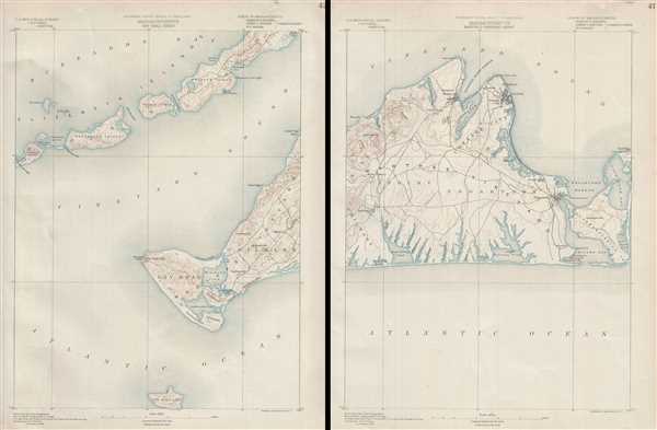
Massachusetts Gay Head Sheet. Massachusetts (Dukes County) Martha's Vineyard Sheet.
sold
- Digital Map Information
- Suitable for large format printing
- File Size: 16.26 MB
- File Type: ZIP / TIFF
- ICC color profile embedded
- Delivered instantly via download link
An uncommon U.S. Geological Survey map, in two sheets, of Martha’s Vineyard, Massachusetts, from 1890. The left sheet details Gay Head and Chilmark as well as parts of Buzzard Bay and the Elizabeth Islands. A smaller island to ... (more details)
Set of topographical maps of Nantucket Island.

Massachusetts. Nantucket sheet. Massachusetts. Muskeget sheet.
sold
- Digital Map Information
- Suitable for large format printing
- File Size: 14.8 MB
- File Type: ZIP / TIFF
- ICC color profile embedded
- Delivered instantly via download link
This is a set of two 1890 topographical maps produced by the U.S. Geological Survey. The left sheet depicts the Muskeget Channel. Extends eastward from Martha's Vineyard to include Muskeget Island, Tuckernuck Island, and the ... (more details)
Ephemeral mapping of the Colorado - Wyoming region.
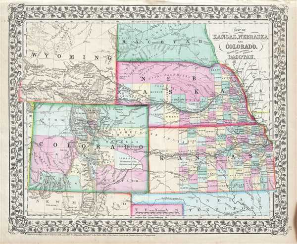
Map of Kansas, Nebraska, Colorado, Showing also the Southern Portions of Dacotah.
sold
- Digital Map Information
- Suitable for large format printing
- File Size: 6.16 MB
- File Type: ZIP / TIFF
- ICC color profile embedded
- Delivered instantly via download link
A beautiful example of S. A. Mitchell Junior's 1867 map of Kansas, Nebraska, Colorado, Wyoming and Dakota. Wyoming, though territorially included, was not incorporated as an official territory until 1868. Color coded ... (more details)
Ephemeral mapping of Nevada and Utah.
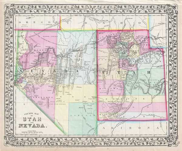
County Map of Utah and Nevada.
sold
- Digital Map Information
- Suitable for large format printing
- File Size: 5.49 MB
- File Type: ZIP / TIFF
- ICC color profile embedded
- Delivered instantly via download link
A beautiful example of S. A. Mitchell Junior's 1867 map of Utah and Nevada. Covers both the state of Nevada and the Territory of Utah. Highly detailed with notations on proposed railroads, topographical features, ... (more details)
One of the most attractive American atlas maps of Washington D.C. to appear in the mid-19th century.

Plan of the City of Washington, The Capitol of the United States of America.
sold
- Digital Map Information
- Suitable for large format printing
- File Size: 5.73 MB
- File Type: ZIP / TIFF
- ICC color profile embedded
- Delivered instantly via download link
A rare 1867 Map of Washington D.C. by American map publisher S. A. Mitchell Jr. Depicts the city shortly following Lincoln's assassination. Important buildings such as the capitol, the Arsenal, the Smithsonian ... (more details)
Beautiful city plan of New Orleans, Louisiana.

Plan of New Orleans.
sold
- Digital Map Information
- Suitable for large format printing
- File Size: 4.89 MB
- File Type: ZIP / TIFF
- ICC color profile embedded
- Delivered instantly via download link
A beautiful example of S. A. Mitchell Jr.'s 1867 map of New Orleans, Louisiana. Depicts the city of New Orleans along with parts of Algiers, Macdonough and Belleville. Offers wonderful detail at the street ... (more details)
Mitchell's map of California with inset of the Great Salt Lake.

County Map of California.
sold
- Digital Map Information
- Suitable for large format printing
- File Size: 6.91 MB
- File Type: ZIP / TIFF
- ICC color profile embedded
- Delivered instantly via download link
A rare 1867 Map of California by the American map publisher S. A. Mitchell Jr. Covers the region in considerable detail showing extant and proposed rail lines, cities and counties as well as an assortment ... (more details)