
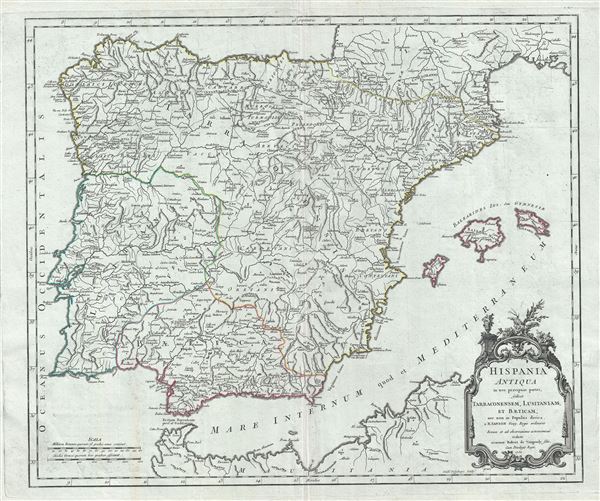
Hispania Antiqua in tres praecipuas partes, scilicet Tarraconensem, Lusitaniam, et Baeticam; nec non in Populos divisa.
$250.00
Acquire
- Digital Map Information
- Suitable for large format printing
- Full resolution TIFF file
- ICC color profile embedded
- Delivered instantly via download link
This is a beautiful 1750 map of Ancient Spain and Portugal by Robert de Vaugondy. It depicts the Iberian Peninsula under the Roman Empire and covers from the Atlantic Ocean to the Mediterranean Sea, including the Balearic Islands of Ibiza, Minorca and Majorca. ... (more details)
Map illustrating the Bordeaux Wine Region and neighboring Armagnac Region.
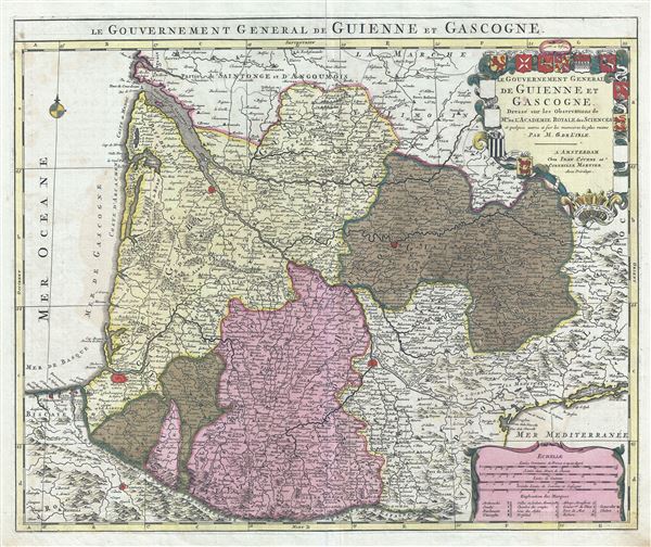
Le Gouvernement General de Guienne et Gascogne.
sold
- Digital Map Information
- Suitable for large format printing
- DPI: 300
- File Size: 21.52 MB
- File Type: ZIP / TIFF
- ICC color profile embedded
- Delivered instantly via download link
This is a fascinating 1742 map of the modern French departments of Gironde, Gascony (Gascogne), and Guyenne. This coastal region is the seat of the Bordeaux wine region and produces many of the world's finest reds. Shows numerous vineyards and chateaux . ... (more details)
A remarkable heavily annotated wall format map of the world showing Texas as a Republic.

A New Chart of the World On Mercator's Projection With The Tracks Of The Most Celebrated and Recent Navigators.
sold
- Digital Map Information
- Suitable for large format printing
- Full resolution TIFF file
- ICC color profile embedded
- Delivered instantly via download link
This is an impressive 1844 large format map of the world by Henry Teesdale. The map covers the entire world on a Mercator projection with copious notes and annotations throughout. The map is thorough, but predictably presented an highly Anglo-centric ... (more details)
One of the last great source maps for the speculative cartography of the Pacific Northwest and Transmississippi.
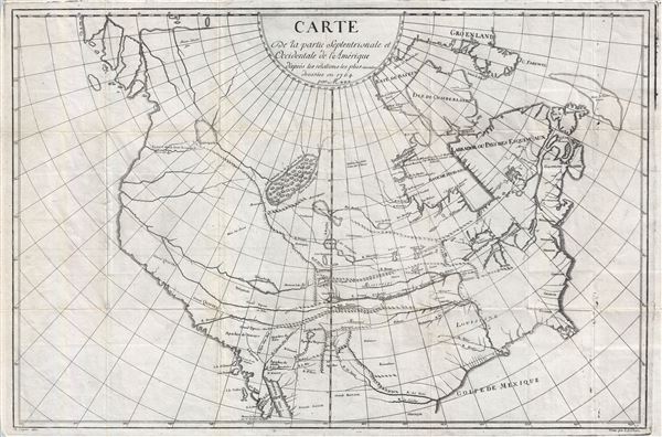
Carte du la Partie Septentrionale et Occidentale de l'Amerique d'apres les relations les plus recentes dresses en 1764 par Mr. ***.
sold
- Digital Map Information
- Suitable for large format printing
- DPI: 300
- File Size: 19.94 MB
- File Type: ZIP / TIFF
- ICC color profile embedded
- Delivered instantly via download link
This is an extremely scarce, influential, and often misunderstood map of North America published in 1765 by Samuel Engel. This important map provides the source material for Dennis Diderot and Robert de Vaugondy's important speculative map of North ... (more details)
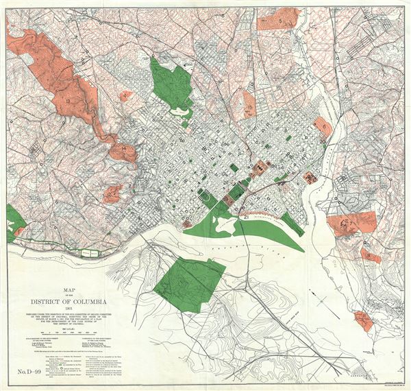
Map of the District of Columbia.
sold
- Digital Map Information
- Suitable for large format printing
- Full resolution TIFF file
- ICC color profile embedded
- Delivered instantly via download link
This is a beautiful 1901 map or plan of Washington D.C. by J. G. Langdon. Prepared under the direction of the sub-committee on the improvement of the park system, the map covers Washington D.C. from Alexandria and the Arlington Cemetery eastward as ... (more details)

Carte du Gouvernement De Bretagne.
sold
- Digital Map Information
- Suitable for large format printing
- Full resolution TIFF file
- ICC color profile embedded
- Delivered instantly via download link
This is a scarce 1771 Bonne map of Brittany, France. It covers the former province of Brittany from Granville south to Isle de Noirmoutier and from the Celtic Sea inland as far as Ingrande. The region includes the departments of Finistere, ... (more details)

Preliminary Coast Chart No. 71 Florida Reefs from Newfound Harbor Key to Boca Grande Key.
sold
- Digital Map Information
- Suitable for large format printing
- File Size: 13.67 MB
- File Type: ZIP / TIFF
- ICC color profile embedded
- Delivered instantly via download link
This is a very attractive example of the rare 1859 U.S. Coast Survey Map the western Florida Keys. Centered on Key West, this map covers from Ramrod Key and Newfound Harbor Key in the east to Boca Grande Key in the west. All of the Islands ... (more details)
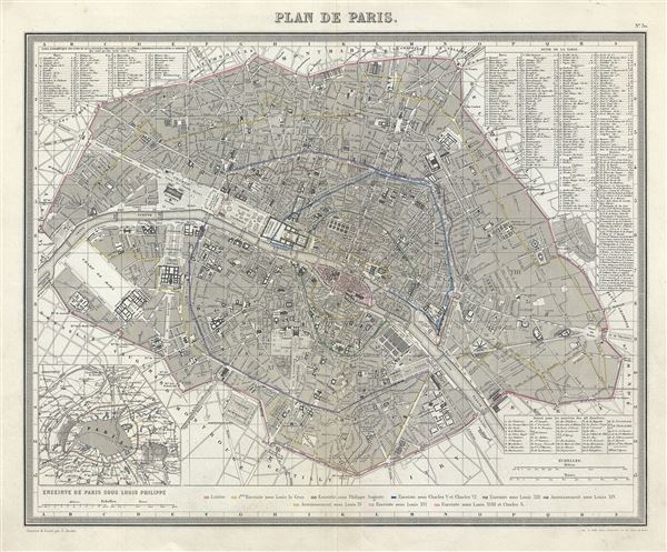
Plan de Paris.
sold
This is a fine 1874 map or city plan of Paris, France. It depicts Paris and its immediate vicinity in extraordinary detail. Centered on the Seine River, it covers Paris as contained in the Thiers Wall as well as its immediate vicinity. It ... (more details)
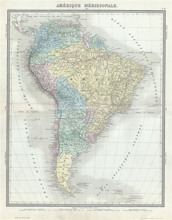
Amerique Meridionale.
sold
- Digital Map Information
- Suitable for large format printing
- Full resolution TIFF file
- ICC color profile embedded
- Delivered instantly via download link
This is a fine 1874 map of South America by Ambroise Tardieu. It covers the entire continent from the Panama to Cape Horn and from the Pacific to the Atlantic. The Falkland and South Georgia island groups are included. It shows ... (more details)
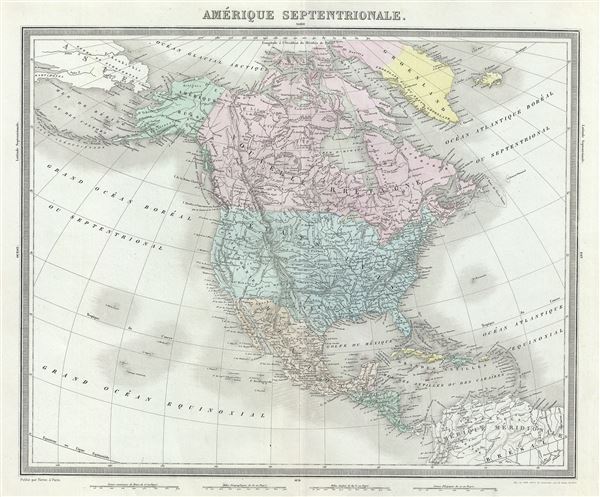
Amerique Septentrionale.
sold
- Digital Map Information
- Suitable for large format printing
- Full resolution TIFF file
- ICC color profile embedded
- Delivered instantly via download link
This is a finely detailed 1874 map of the North America by Ambroise Tardieu. This map covers the entire continent from the Arctic Circle to the northern part of South America inclusive of the West Indies, Central America, Mexico, ... (more details)
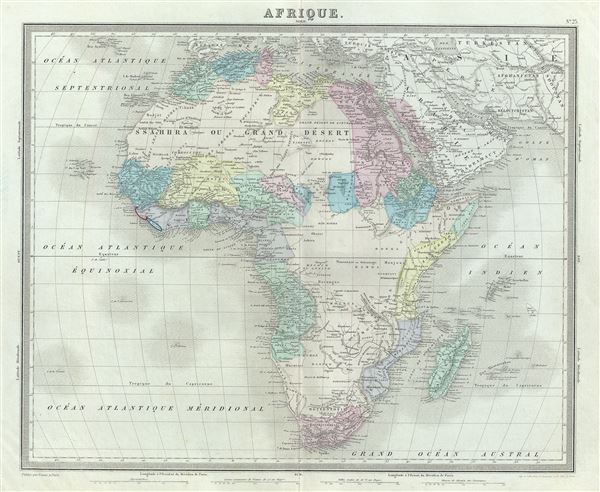
Afrique.
sold
- Digital Map Information
- Suitable for large format printing
- Full resolution TIFF file
- ICC color profile embedded
- Delivered instantly via download link
This is an attractive 1874 map of Africa by Ambroise Tardieu. It covers the entire continent in considerable detail considering the level to which it was explored at the time. It extends from the Mediterranean south to Cape ... (more details)
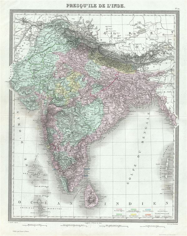
Presqu'Ile de l'Inde.
sold
- Digital Map Information
- Suitable for large format printing
- Full resolution TIFF file
- ICC color profile embedded
- Delivered instantly via download link
This is a beautiful 1874 map of the Indian Subcontinent by Ambroise Tardieu. It covers the entire subcontinent from the Himalayas south as far as Ceylon (Sri Lanka) and from Sindh as far east as Burma. The modern day ... (more details)
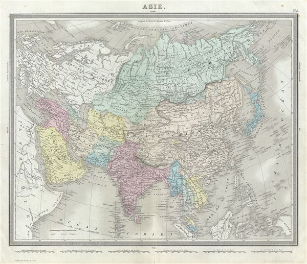
Asie.
$125.00
Acquire
- Digital Map Information
- Suitable for large format printing
- Full resolution TIFF file
- ICC color profile embedded
- Delivered instantly via download link
This is a beautiful 1874 map of Asia by Ambroise Tardieu. It covers from the Arabian Peninsula and Turkey eastward as far as Kamchatka and Japan and includes the Empires of Hindoostan (India), China (includes Tibet), ... (more details)
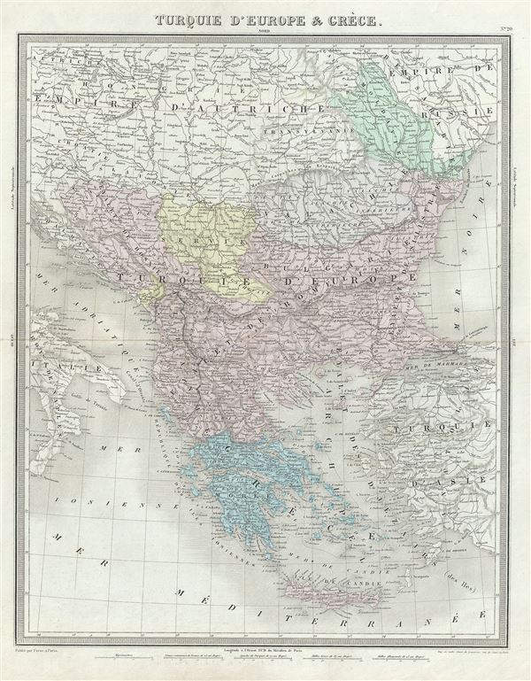
Turquie d'Europe et Greece.
sold
- Digital Map Information
- Suitable for large format printing
- Full resolution TIFF file
- ICC color profile embedded
- Delivered instantly via download link
This is a beautiful 1874 map of Greece, the Balkans and the European part of Turkey by Ambroise Tardieu. It covers from Moldavia to Candia or Crete and from the Gulf of Venice to the Sea of Marmara. The modern day ... (more details)
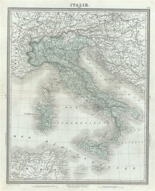
Italie.
sold
- Digital Map Information
- Suitable for large format printing
- Full resolution TIFF file
- ICC color profile embedded
- Delivered instantly via download link
This is a beautiful 1874 map of Italy by Ambroise Tardieu. It depicts the Italian peninsula in the midst of its struggle for national solidarity. Includes the Kingdom of Sardinia, Corsica, and Sicily. Throughout, ... (more details)
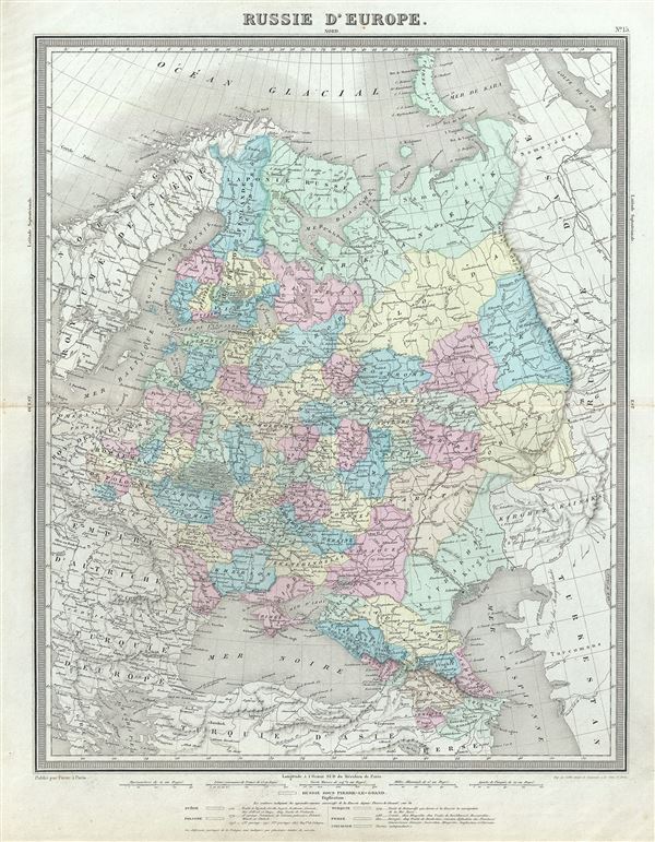
Russie d'Europe.
sold
- Digital Map Information
- Suitable for large format printing
- Full resolution TIFF file
- ICC color profile embedded
- Delivered instantly via download link
This is a fine 1874 map of European Russia by Ambroise Tardieu. It covers from the Arctic Ocean to the Black Sea and from the Baltic Sea east to the Ural Mountains. Tardieu identifies various cities, roads, rivers, ... (more details)
1874 Tardieu Map of Central Europe (Germany, Poland, Switzerland, Austria, Hungary, Bohemia, Lithuan
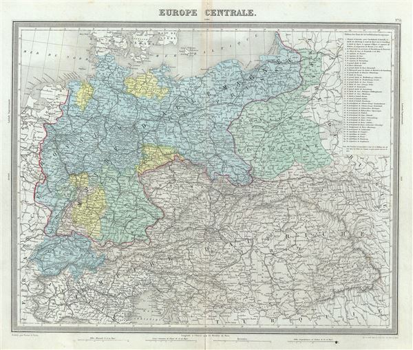
Europe Centrale.
sold
- Digital Map Information
- Suitable for large format printing
- Full resolution TIFF file
- ICC color profile embedded
- Delivered instantly via download link
This is a fine example of Ambroise Tardieu's 1874 map of the Central Europe. It covers the German Confederation from the Baltic Sea to the Adriatic Sea and from Switzerland to the Austro-Hungarian Empire. The top ... (more details)
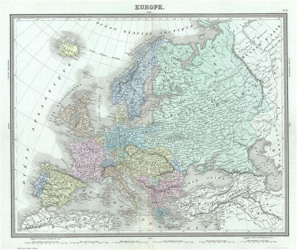
Europe.
sold
- Digital Map Information
- Suitable for large format printing
- Full resolution TIFF file
- ICC color profile embedded
- Delivered instantly via download link
This is an example of Ambroise Tardieu's 1874 map of Europe. It covers the continent in its entirety from the Atlantic to the Caspian Sea and from the Arctic Ocean to the Mediterranean Sea. It also details ... (more details)

Mappe-Monde.
sold
- Digital Map Information
- Suitable for large format printing
- Full resolution TIFF file
- ICC color profile embedded
- Delivered instantly via download link
This is a beautiful 1874 map of the World in hemispheres by Ambroise Tardieu. It offers a fascinating snapshot of the world during a period of rapid globalization and discovery. The Antarctic continent is ... (more details)
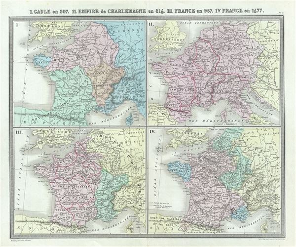
I. Gaule en 507. II. Empire de Charlemagne en 814. III. France en 987. IV. France en 1677.
sold
- Digital Map Information
- Suitable for large format printing
- Full resolution TIFF file
- ICC color profile embedded
- Delivered instantly via download link
This is a fine 1874 map of Gaul or France by Ambroise Tardieu. Essentially four maps on a single sheet, it depicts Gaul or France during 507, 816, 987 and 1677. The first map, Gaul in 507 depicts the ... (more details)