

Gulf of Tonkin Laos-Thailand-Vietnam.
sold
- Digital Map Information
- Suitable for large format printing
- Full resolution TIFF file
- ICC color profile embedded
- Delivered instantly via download link
This is a lovely 1954 U.S. Air Force aeronautical chart or map of the Gulf of Tonkin and the northern parts of the Vietnam, Laos and Thailand. The chart covers from Thanh Hoa and the East Vietnam Sea south to Da Nang and inland to Thailand past Vientiane. The ... (more details)
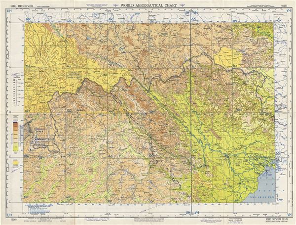
Red River Burma-China-Laos-Vietnam.
sold
- Digital Map Information
- Suitable for large format printing
- Full resolution TIFF file
- ICC color profile embedded
- Delivered instantly via download link
This is a scarce 1954 U.S. Air Force aeronautical chart or map of the Red River or Yuan River in southwest China and northern Vietnam. The map covers from Baise in China south to the Gulf of Tonkin and west as far as the eastern tip of Burma or Myanmar. The ... (more details)
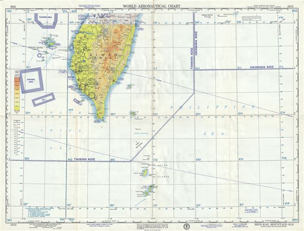
Hsin-Kao Mountain China-Nansei Islands-Philippines.
sold
- Digital Map Information
- Suitable for large format printing
- Full resolution TIFF file
- ICC color profile embedded
- Delivered instantly via download link
This is a scarce 1958 U.S. Air Force aeronautical chart or map of southern Taiwan or Formosa Island, focusing on the Hsin-Kao Shan region. It covers southern Taiwan from Tai Chung south to Batnan Island. The map is highly detailed and notes danger areas, ... (more details)
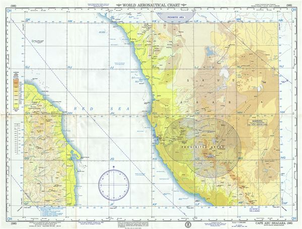
Cape Abu Shagara Egypt-Saudi Arabia-Sudan.
sold
- Digital Map Information
- Suitable for large format printing
- Full resolution TIFF file
- ICC color profile embedded
- Delivered instantly via download link
This is an unusual 1958 U.S. Air Force aeronautical chart or map of western Saudi Arabia and eastern Sudan focusing on Cape Abu Shagara in Sudan. Centered on the Red Sea, it covers from the Gebel Elba region in Egypt south to Port Sudan and from Yanbu in ... (more details)
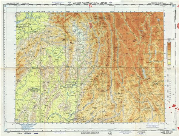
Lake Erh Burma-China-India.
sold
- Digital Map Information
- Suitable for large format printing
- Full resolution TIFF file
- ICC color profile embedded
- Delivered instantly via download link
This is an unusual 1956 U.S. Air Force aeronautical chart or map of Lake Erh or Er or Erhai and its vicinity in modern day Yunnan Province of China. The map covers from Dibang in Northeast India east to Lugu Lake in northwest Yunnan and south to Bhamo in ... (more details)
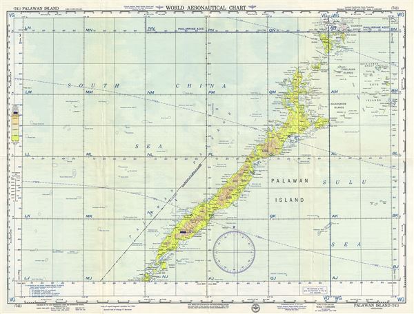
Palawan Island Philippines.
sold
- Digital Map Information
- Suitable for large format printing
- Full resolution TIFF file
- ICC color profile embedded
- Delivered instantly via download link
This is a fine 1958 U.S. Air Force aeronautical chart or map of Palawan Island of the Philippines. It covers the islands in the Palawan Province from Balabac Island north as far as Busuanga Island. The chart notes cities, rivers, islands, topography and ... (more details)
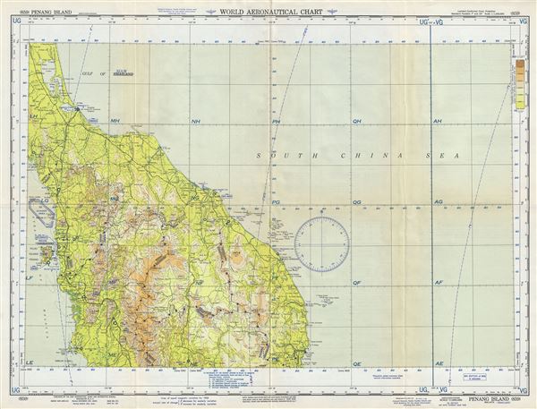
Penang Island Malaya-Thailand.
sold
- Digital Map Information
- Suitable for large format printing
- Full resolution TIFF file
- ICC color profile embedded
- Delivered instantly via download link
This is a scarce 1958 U. S. Air Force aeronautical chart or map of northern Malaysia and southern Thailand on the Malay Peninsula. Focusing on Penang Island, it covers from Thale Luang in Thailand south to Pulau Pangkor in Malaysia. The chart notes ... (more details)
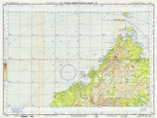
Brunei Bay Brunei-Indonesia-North Borneo-Philippines-Sarawak.
sold
- Digital Map Information
- Suitable for large format printing
- Full resolution TIFF file
- ICC color profile embedded
- Delivered instantly via download link
This is an uncommon 1958 U. S. Air Force aeronautical chart or map of northern Borneo. Focusing on Brunei, it covers from Miri in Malaysia north including Brunei to Balabac Island, Philippines and east to Pulau Sebatik. It notes important cities, ... (more details)
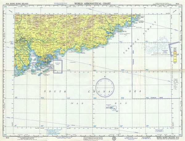
Hong Kong Island China-Hong Kong and New Territories-Macau.
sold
- Digital Map Information
- Suitable for large format printing
- Full resolution TIFF file
- ICC color profile embedded
- Delivered instantly via download link
This is an uncommon 1958 U.S. Air Force aeronautical chart or map of Hong Kong. It covers the region from Da'ao Inlet and Donshan Bay east to Huangmao Hai (Sea), focusing on Hong Kong. It notes danger areas, prohibited areas, important cities, ... (more details)
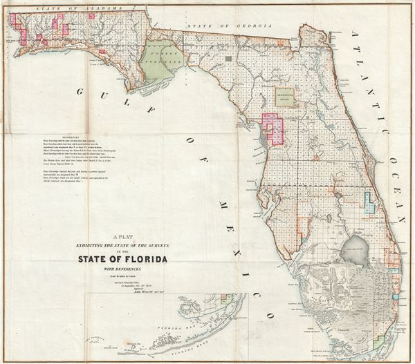
A Plat Exhibiting the State of the Surveys in the State of Florida with References.
sold
- Digital Map Information
- Suitable for large format printing
- File Size: 13.08 MB
- File Type: ZIP / TIFF
- ICC color profile embedded
- Delivered instantly via download link
An exceptional example of the 1854 Land Survey Map of Florida. This map represents the state of the Land Survey in Florida as of October 1854. Shows the state divided into several hundred numbered plats, some of which are marked with an 'S' to ... (more details)
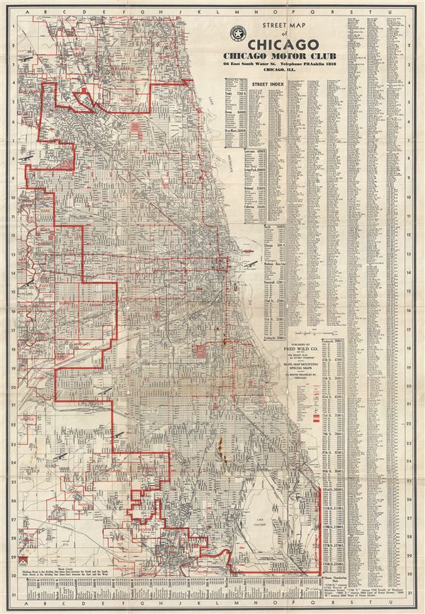
Street Map of Chicago Chicago Motor Club.
sold
This is a scarce c.1929 pocket map of Chicago, Illinois issued by the Chicago Motor Club. This street map covers Chicago from Glenview and Wilmette south as far as Riverdale, Robins and Crestwood and from Lake Michigan west to Cook County ... (more details)
Iconic image of early Chicago.

Chicago in 1831 With a view of Fort Dearborn and John Kinzie's Residence.
sold
- Digital Map Information
- Suitable for large format printing
- File Size: 9.54 MB
- File Type: ZIP / TIFF
- ICC color profile embedded
- Delivered instantly via download link
An extremely attractive 1929 hand colored aquatint view of Chicago in 1831 by the French artist Raoul Varin. The view, part of a series completed by Varin between 1927 and 1932, illustrates Fort Dearborn and the surrounding homes. The ... (more details)

The Life and Age of Man: Stages of Man’s Life, from the Cradle to the Grave, wherein all Christians May Behold their Frail Nature, and the Miseries that Attend a Sinful Life, Set Forth in an Alphabetical Poem
sold
- Digital Map Information
- Suitable for large format printing
- DPI: 300
- File Size: 16.86 MB
- File Type: ZIP / TIFF
- ICC color profile embedded
- Delivered instantly via download link
An uncommon c. 1835 moralistic broadside attributed to Albert Alden featuring an allegorical illustration of the stages of a man's life from 5 to 100. Standing astride a brick pyramid, this broadside lithographic engraving illustrates ... (more details)
Early Broadside advertisement advertising sale of Harlem Cove, Manhattanville, Manhattan by John Bleecker and Sons.

To be Sold by James Bleeker and Sons on Wednesday the 22nd of July 1835 at 12 O'Clock at the Merchts' Exchange by order Executors and Trustees of Will of Jacob Schieffelin Decd.
sold
- Digital Map Information
- Suitable for large format printing
- DPI: 300
- File Size: 5.66 MB
- File Type: ZIP / TIFF
- ICC color profile embedded
- Delivered instantly via download link
An exceptional discovery, this is an 1835 broadside map may be considering a founding document of the New York City's Manhattanville. The broadside map advertises the sale of land owned by the estate of Jacob Schieffelin (1757 - 1835) ... (more details)
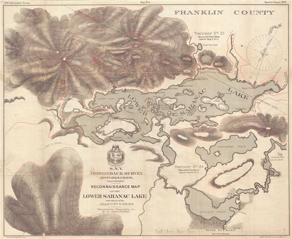
Reconnaissance Map of the Lower Saranac Lake with sketch of the Adjacent Waters.
sold
- Digital Map Information
- Suitable for large format printing
- Full resolution TIFF file
- ICC color profile embedded
- Delivered instantly via download link
This is a fine 1879 reconnaissance map of the Lower Saranac Lake by Verplanck Colvin. It covers from Boot Bay Mountain south to Ampersand Mountains and Millers Pond (modern day Oseetah Lake). The map notes several bays, islands, ... (more details)
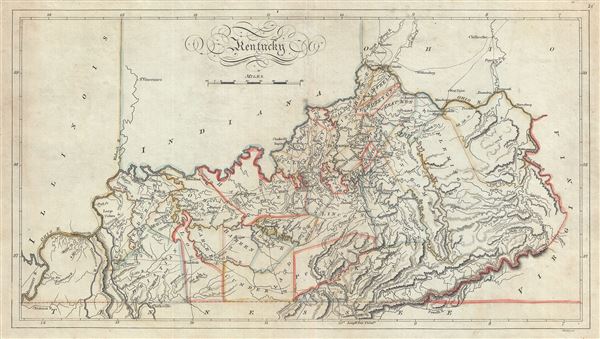
Kentucky.
sold
- Digital Map Information
- Suitable for large format printing
- Full resolution TIFF file
- ICC color profile embedded
- Delivered instantly via download link
This is an attractive 1814 map of the state of Kentucky by Matthew Carey. It covers the entire state noting counties and region in outline color. The map also notes rivers, creeks, towns, roads, mountains and a host of ... (more details)
Scarce early puzzle map of the World by John Wallis.

A New Map of the World according to the Latest Discoveries.
sold
- Digital Map Information
- Suitable for large format printing
- File Size: 1.09 MB
- File Type: ZIP / TIFF
- ICC color profile embedded
- Delivered instantly via download link
A very scarce discovery, this is John Wallis' 1813 jigsaw puzzle adaption of Laurie and Whittle's highly successful 1812 map of the world. Wallis acquired the rights to republish Laurie and Whittle's maps as jigsaw ... (more details)
Scarce early edition of Eldridge's chart of Buzzard Bay.

Eldridge's Chart No. 10. Buzzard Bay, from the United States Coast and George Eldridge's Surveys.
sold
- Digital Map Information
- Suitable for large format printing
- Full resolution TIFF file
- ICC color profile embedded
- Delivered instantly via download link
A scarce separately published 1877 nautical chart or maritime map of Buzzard Bay by George Eldridge. This elegantly produced chart on thick stock covers from the west coast of Cape Cod and includes New Bedford, ... (more details)

Plan of Boston.
sold
- Digital Map Information
- Suitable for large format printing
- File Size: 5.34 MB
- File Type: ZIP / TIFF
- ICC color profile embedded
- Delivered instantly via download link
A beautiful example of S. A. Mitchell Jr.'s 1867 map of Boston, Massachusetts. Depicts Boston along with parts of East Cambridge, Charlestown, East Boston, and South Boston. Offers wonderful detail at the ... (more details)

Etat de l'Eglise, Grand Duche de Toscane, et Isle de Corse.
sold
- Digital Map Information
- Suitable for large format printing
- DPI: 300
- File Size: 16.68 MB
- File Type: ZIP / TIFF
- ICC color profile embedded
- Delivered instantly via download link
This is an attractive 1750 map by Robert de Vaugondy depicting central Italy and regions of Tuscany, the Papal States and the Island of Corsica. It covers from Ferrara and Parma south to Terracina. ... (more details)