
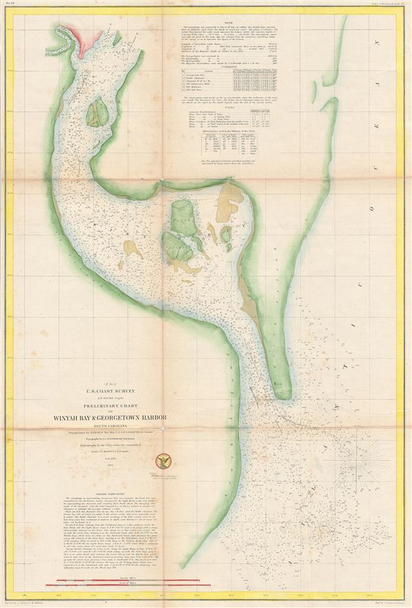
(E No. 2) Preliminary Chart of Winyah Bay & Georgetown Harbor South Carolina.
sold
- Digital Map Information
- Suitable for large format printing
- File Size: 10.73 MB
- File Type: ZIP / TIFF
- ICC color profile embedded
- Delivered instantly via download link
An uncommon example of the 1855 U.S. Coast Survey nautical chart or maritime map of Winyah Bay and Georgetown Harbor, South Carolina. The map covers from Gerogetown to South Island and is centered on Winyah Bay. As a nautical map it further includes countless ... (more details)
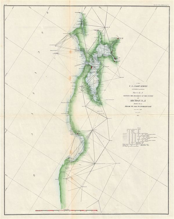
(J bis) Sketch J Showing the Progress of the Survey in Section No. X (middle sheet) From P. Sal to Tomales Bay.
sold
- Digital Map Information
- Suitable for large format printing
- File Size: 8.04 MB
- File Type: ZIP / TIFF
- ICC color profile embedded
- Delivered instantly via download link
An uncommon example of the 1871 U.S. Coast Survey progress and triangulation chart or map of coast of California from Point Sal to Tomales Bay, including San Francisco Bay and San Pedro Bay. The map identifies numerous cities throughout including San ... (more details)

Preliminary Chart of Port Royal Entrance Beaufort Chechessee and Colleton Rivers South Carolina.
sold
- Digital Map Information
- Suitable for large format printing
- File Size: 14.28 MB
- File Type: ZIP / TIFF
- ICC color profile embedded
- Delivered instantly via download link
An uncommon example of the 1859 U.S. Coast Survey nautical chart or maritime map of the entrance to Port Royal and Hilton Head. The map covers from Daw Island to St. Michael Island DN from Hilton Head to Parris Island and the Beaufort River. As a ... (more details)
Scarce early map of Santa Barbara and Los Angeles California.

(J No. 4) Preliminary Survey of San Pedro Anchorage and Vicinity of Santa Barbara California.
sold
- Digital Map Information
- Suitable for large format printing
- File Size: 3.14 MB
- File Type: ZIP / TIFF
- ICC color profile embedded
- Delivered instantly via download link
An uncommon example of the 1859 U.S. Coast Survey nautical chart or maritime map of Santa Barbara and San Pedro (Los Angeles), California. essentially two maps on a single sheet, the left hand map details the stretch of land that would eventually ... (more details)

St. Mary's River Cornfield Harbor and Pt. Lookout Maryland
sold
- Digital Map Information
- Suitable for large format printing
- File Size: 7.65 MB
- File Type: ZIP / TIFF
- ICC color profile embedded
- Delivered instantly via download link
An uncommon example of the 1859 U.S. Coast Survey nautical chart or maritime map of Maryland's St. Mary's River and Point Lookout. The map covers from Piney Point and Saint Georges Island, past St. Mary's River, eastwards as far as Point Lookout. ... (more details)

Progress of the Survey in Section No. XI (Lower Sheet) From the California Line to Tillamook Bay. / Progress of the Survey in Section No. X (Upper Sheet) From Tomales Bay to the Oregon Line.
sold
- Digital Map Information
- Suitable for large format printing
- File Size: 11.22 MB
- File Type: ZIP / TIFF
- ICC color profile embedded
- Delivered instantly via download link
An uncommon example of the 1871 U.S. Coast Survey progress and triangulation chart or map of coast of Oregon and northern California. essentially two maps on a single sheet, the left map covers from the California border to Tillamook Bay, ... (more details)
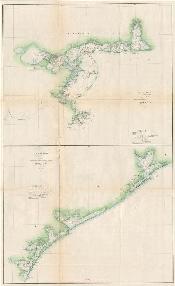
Sketch H Showing th Progress of the Sur5vey in Section No. VIII from 1846 to 1871. / Sketch I Showing the Progress of the Survey in Section No. IX from 1848 to 1871.
sold
- Digital Map Information
- Suitable for large format printing
- File Size: 21.14 MB
- File Type: ZIP / TIFF
- ICC color profile embedded
- Delivered instantly via download link
An uncommon example of the 1871 U.S. Coast Survey progress and triangulation chart or map of the Gulf Coast from Mobile Bay, Alabama to Corpus Christi, Texas. essentially two maps on a single sheet, the upper map covers from Mobile Bay to ... (more details)
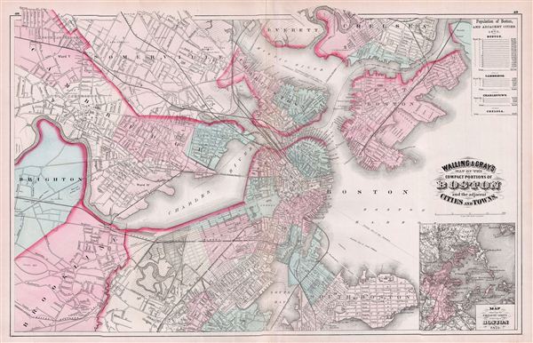
Walling & Gray's Map of the Compact Portions of Boston and the adjacent Cities and Towns.
sold
- Digital Map Information
- Suitable for large format printing
- File Size: 15.93 MB
- File Type: ZIP / TIFF
- ICC color profile embedded
- Delivered instantly via download link
A fine 1871 map of Boston, Massachusetts, published by Ormando Gray based upon the cartographic work of Henry S. Walling. The map covers central Boston as well as the adjacent cities and suburbs of South Boston, Brookline, east Boston, ... (more details)
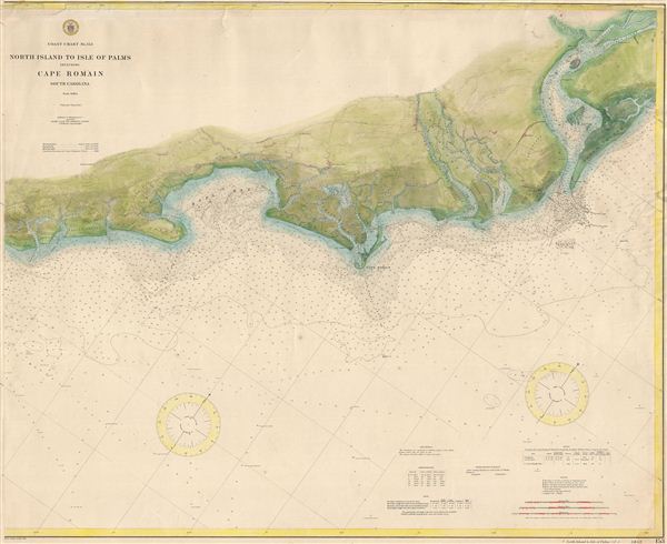
Coast Chart No. 153 North Island to Isle of Palms including Cape Romain South Carolina.
sold
- Digital Map Information
- Suitable for large format printing
- File Size: 7.05 MB
- File Type: ZIP / TIFF
- ICC color profile embedded
- Delivered instantly via download link
A scarce and exceptionally fine coastal survey chart or maritime map of the South Carolina coast in the vicinity of Cape Romain. The map covers from The Isle of Palms past Bull Bay, Cape Romain, and the Santee River as far as the ... (more details)
The culmination of the Coast Survey's work around Key Biscayne and Miami, Florida.

Coast Chart No. 166 Florida Reefs from Key Biscayne to Carysfort Reef.
sold
- Digital Map Information
- Suitable for large format printing
- File Size: 38.78 MB
- File Type: ZIP / TIFF
- ICC color profile embedded
- Delivered instantly via download link
A scarce and exceptionally fine coastal survey chart or maritime map of Key Biscayne Bay and Miami. The coast survey began its work on this region in the late 1850s, with this chart slowly taking shape following the Civil War, ... (more details)
Scarce nautical chart of the Gulf Coast.
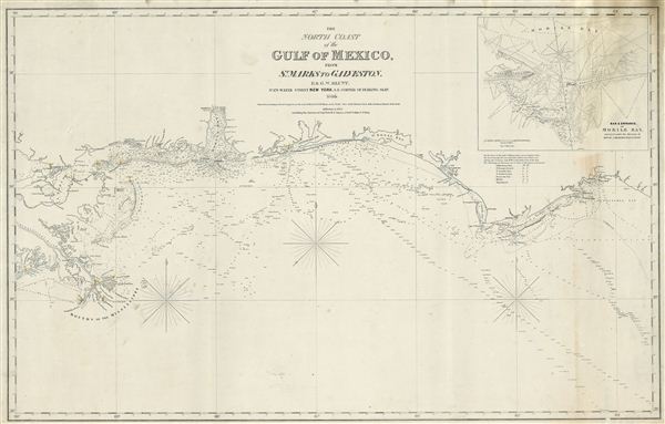
The North Coast of th Gulf of Mexico from St. Marks to Galveston.
sold
- Digital Map Information
- Suitable for large format printing
- DPI: 300
- File Size: 15.24 MB
- File Type: ZIP / TIFF
- ICC color profile embedded
- Delivered instantly via download link
An extremely scarce 1865 nautical chart or maritime map of the Gulf Coast by e and G. W. Blunt. This map, though titled ‘From St. Marks to Galveston' in fact only follows the coast from St. Marks to the Delta of the ... (more details)
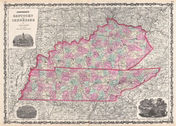
Johnson's Kentucky and Tennessee.
sold
- Digital Map Information
- Suitable for large format printing
- Full resolution TIFF file
- ICC color profile embedded
- Delivered instantly via download link
A beautiful example of A. J. Johnson's 1863 map of Kentucky and Tennessee. Probably the most decorative of Johnson's Kentucky-Tennessee series, this rare map offers a fascinating snapshot of these secessionist states ... (more details)
First edition of John Speed's transitional and influential map of Virginia, Maryland, and the Chesapeake Bay.
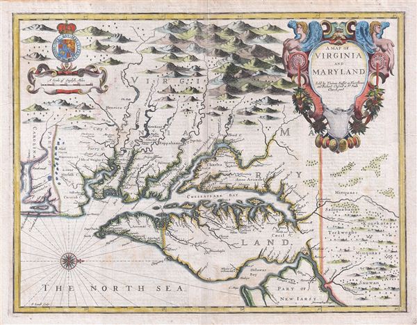
A Map of Virginia and Maryland.
sold
- Digital Map Information
- Suitable for large format printing
- DPI: 300
- File Size: 13.73 MB
- File Type: ZIP / TIFF
- ICC color profile embedded
- Delivered instantly via download link
A fine full color example of Francis Lamb's 1676 map of Virginia, Maryland, and the Chesapeake Bay. Oriented to the west, Lamb's map covers from Albemarle Sound to the Susquehanna River and from the Appalachian ... (more details)
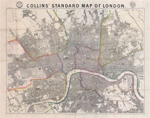
Collins' Standard Map of London.
sold
- Digital Map Information
- Suitable for large format printing
- File Size: 47.14 MB
- File Type: ZIP / TIFF
- ICC color profile embedded
- Delivered instantly via download link
This is an extremely scarce 1856 plan or map of London, england by Henry George Collins. Centered on the Thames River, this map covers from Notting Hill and Kensington east as far as the West India Docks and ... (more details)
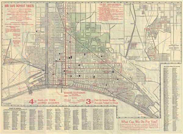
Map of Long Beach and the Harbor District.
sold
- Digital Map Information
- Suitable for large format printing
- File Size: 25.11 MB
- File Type: ZIP / TIFF
- ICC color profile embedded
- Delivered instantly via download link
This is a beautiful 1925 map of Long Beach, California issued by the Marine Trust and Savings Bank. The folding map is printed on both sides. One side of the map features the map of Long Beach from Naples to ... (more details)

Plan de Paris Actuel 1890.
sold
- Digital Map Information
- Suitable for large format printing
- File Size: 31.99 MB
- File Type: ZIP / TIFF
- ICC color profile embedded
- Delivered instantly via download link
This is an extremely attractive 1890 tourist pocket map of Paris, France by Maison Logerot and J. Gaultier Sr. Centered on the Seine, this map covers embastilled Paris as contained by the Thiers Wall as well ... (more details)
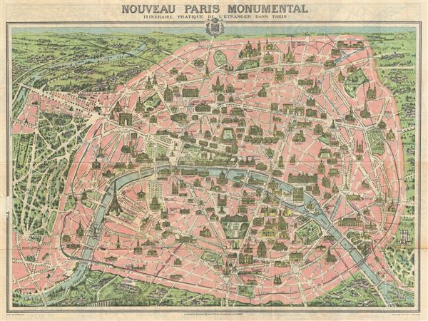
Nouveau Paris Monumental Inineraire Pratique de l'Etranger dans Paris.
sold
- Digital Map Information
- Suitable for large format printing
- File Size: 20.7 MB
- File Type: ZIP / TIFF
- ICC color profile embedded
- Delivered instantly via download link
An iconic 1937 tourist pocket map of Paris, France. Presented as a same field birds-eye view, this map centers on the Seine River, and covers the embastilled heart of Paris. Although ostensibly designed as ... (more details)
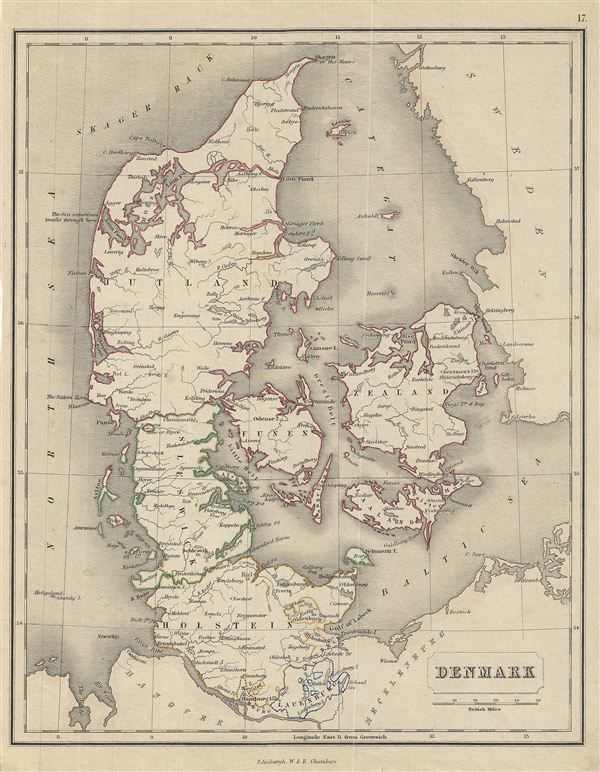
Denmark.
sold
- Digital Map Information
- Suitable for large format printing
- DPI: 300
- File Size: 3.51 MB
- File Type: ZIP / TIFF
- ICC color profile embedded
- Delivered instantly via download link
This is a fine example of the 1845 Chambers map of Denmark. The map covers all of Denmark inclusive of the Duchy of Holstein. The Kattegat (Cattegat) is also identified. At this time in history, ... (more details)

Turkey in Asia.
sold
- Digital Map Information
- Suitable for large format printing
- DPI: 300
- File Size: 3.55 MB
- File Type: ZIP / TIFF
- ICC color profile embedded
- Delivered instantly via download link
This is a fine example of the 1845 Chambers map of Turkey in Asia. It covers covers from the Black Sea to Arabia, inclusive Cyprus. Centered on the Holy land (Palestine / Israel), the map covers ... (more details)
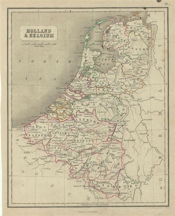
Holland & Belgium.
sold
- Digital Map Information
- Suitable for large format printing
- DPI: 300
- File Size: 3.64 MB
- File Type: ZIP / TIFF
- ICC color profile embedded
- Delivered instantly via download link
This is a fine example of the 1845 Chambers map of Holland (The Netherlands) and Belgium. The map covers the United Kingdom of Netherlands including Holland and Belgium from the North Sea to the ... (more details)