

Carte de la Grece Ancienne.
sold
- Digital Map Information
- Suitable for large format printing
- DPI: 300
- File Size: 12.41 MB
- File Type: ZIP / TIFF
- ICC color profile embedded
- Delivered instantly via download link
A fine first edition example of M. Lapie's 1832 map of Ancient Greece. The map focuses on the Greece under the Roman empire, covering from the Ionian Sea to the Aegean Sean and Asia Minor and from Macedonia to the Sea of Crete and the Aegean Islands. Following ... (more details)

Carte de l'Empire Romain.
sold
- Digital Map Information
- Suitable for large format printing
- DPI: 300
- File Size: 13.36 MB
- File Type: ZIP / TIFF
- ICC color profile embedded
- Delivered instantly via download link
A fine first edition example of M. Lapie's 1832 map of The Roman empire. The map shows the extent of the Roman empire at its height, and covers Britain, Germania, Gaul, egypt, Africa proper, Spain, Italy and Macedonia. The empire was established in 27 BC ... (more details)
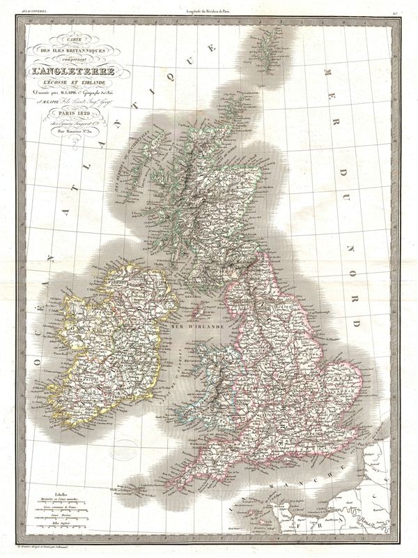
Carte de isle Britanniques comprenant l'Angleterre l'Ecosse et l'Irlande.
sold
- Digital Map Information
- Suitable for large format printing
- DPI: 300
- File Size: 12.64 MB
- File Type: ZIP / TIFF
- ICC color profile embedded
- Delivered instantly via download link
A fine first edition example of M. Lapie's 1829 map of the British Isles, including england, Scotland and Ireland. The Map covers the countries of the United Kingdom from the Shetland Islands to France and shows Ireland, Scotland, england, Wales and the ... (more details)
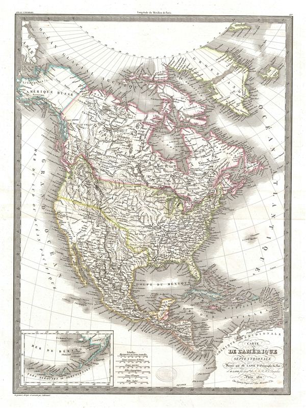
Carte de l'Amerique Septentrionale.
sold
- Digital Map Information
- Suitable for large format printing
- DPI: 300
- File Size: 14.09 MB
- File Type: ZIP / TIFF
- ICC color profile embedded
- Delivered instantly via download link
A fine first edition example of M. Lapie's 1830 map of North America. The map covers the entire North American continent from the North Pole and Arctic Ocean to Panama and from the Pacific Ocean to the Atlantic Ocean. The map shows Greenland, Russian ... (more details)

Carte generale de l'Amerique Meridionale.
sold
- Digital Map Information
- Suitable for large format printing
- DPI: 300
- File Size: 13.52 MB
- File Type: ZIP / TIFF
- ICC color profile embedded
- Delivered instantly via download link
A fine first edition example of M. Lapie's 1829 general map of South America. The map covers entire South America from the Pacific Ocean to the Atlantic Ocean. It shows Colombia, Brazil, Peru, Upper Peru, Chile, French, Dutch and British Guiana, the ... (more details)
One of the rarest and most desirable U.S. Coast Survey maps of the Chesapeake Bay.

Sketch C Showing the Progress of the Survey in Section No. III From 1842 to 1862.
sold
- Digital Map Information
- Suitable for large format printing
- File Size: 21.31 MB
- File Type: ZIP / TIFF
- ICC color profile embedded
- Delivered instantly via download link
This is an exceptional example of the 1862 U.S. Coast Survey's progress chart of the Chesapeake Bay. The map covers from the mouth of the Susquehanna River southwards as far as Cape Henry and Norfolk. This chart includes both the Chesapeake Bay and ... (more details)
Beautifully illustrates the intriguing discoveries of the Baron Lahonton.
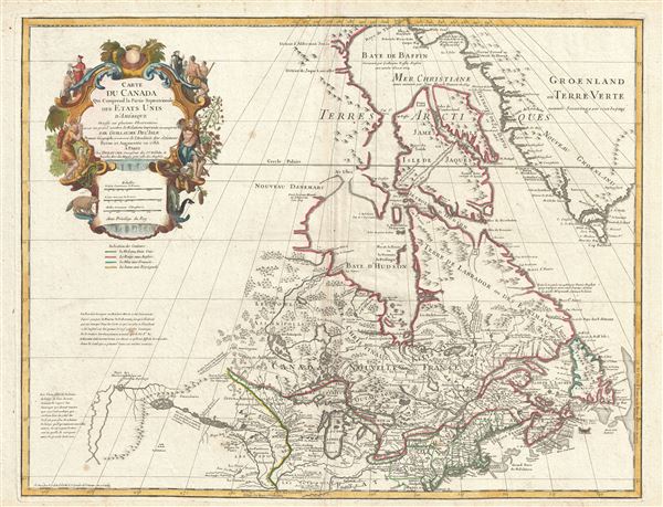
Carte du Canada Qui Comprend la Partie Septentrionale des Etats Unis D'Amerique.
sold
- Digital Map Information
- Suitable for large format printing
- DPI: 300
- File Size: 20 MB
- File Type: ZIP / TIFF
- ICC color profile embedded
- Delivered instantly via download link
This is the 1783 Dezauche issue of Phillipe Buache and Guillaume D L'Isle's important map of northern North America. The map covers the United States north of the Chesapeake and Canada or New France. De L'Isle first issued this map in 1703. At the ... (more details)

(Sketch F No. 5) Preliminary Chart of Key West Harbor and Approaches.
sold
- Digital Map Information
- Suitable for large format printing
- DPI: 300
- File Size: 9.32 MB
- File Type: ZIP / TIFF
- ICC color profile embedded
- Delivered instantly via download link
An uncommon 1855 U.S. Coast Survey nautical chart or maritime map of Key West, Florida, and its approaches. Centered on Key West, this map covers from Boca Grande Key eastward to Raccoon Key, north as far as the N.W. Boca Chica Keys and south to W. ... (more details)
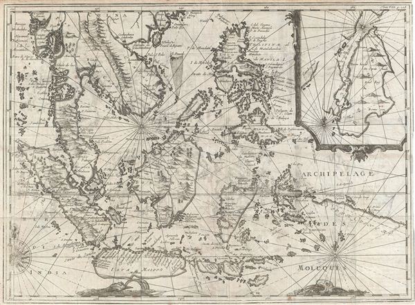
Archipelage Des Moluques.
sold
- Digital Map Information
- Suitable for large format printing
- Full resolution TIFF file
- ICC color profile embedded
- Delivered instantly via download link
An extremely scarce and obscure c. 1619 map of the east Indies by Willem Cornelisz Schouten and Willem Janszoon Blaeu. Centered on Borneo, the map coves all of Southeast Asia and the east Indies from Pegu and Arakan in the North to Java and Timor ... (more details)

No. 14 From Entrance to Buzzard's Bay Mass. To Block Island Sound R.I.
sold
- Digital Map Information
- Suitable for large format printing
- File Size: 22.41 MB
- File Type: ZIP / TIFF
- ICC color profile embedded
- Delivered instantly via download link
A scarce example of the 1860 U.S. Coast Survey nautical chart or maritime map of the Rhode Island Coastline from Block Island to the entrance to Buzzard Bay, Massachusetts. Includes nice inland detail of the town of Newport. Detailed to the ... (more details)

Preliminary Chart of St. Simon's Sound and Brunswick Harbor Georgia.
sold
- Digital Map Information
- Suitable for large format printing
- File Size: 12.15 MB
- File Type: ZIP / TIFF
- ICC color profile embedded
- Delivered instantly via download link
An uncommon 1857 U.S. Coast Survey nautical chart or maritime map of Brunswick Harbor and St. Simon's Sound, Georgia. The map covers from Blythe Island past Brunswick and Buzzard Roost to St. Simon's Island and Jekyl Island. Issued on a ... (more details)

Sketch F No. 2 Showing the Progress of the Survey of the Florida Reefs 1849 - 1855.
sold
- Digital Map Information
- Suitable for large format printing
- File Size: 6.72 MB
- File Type: ZIP / TIFF
- ICC color profile embedded
- Delivered instantly via download link
An uncommon 1855 U.S. Coast Survey triangulation and progress chart for the Florida Reefs, including Key Biscayne, Key West, and the Miami area. Map is divided into eight segments detailing Key Biscayne, Cape Sable Base, Cape Florida or ... (more details)

( H No. 2 ) Perliminary Chart of Biloxi Bay Mississippi.
sold
- Digital Map Information
- Suitable for large format printing
- File Size: 7.01 MB
- File Type: ZIP / TIFF
- ICC color profile embedded
- Delivered instantly via download link
An uncommon 1855 U.S. Coast Survey nautical chart or maritime map of Biloxi Bay, Mississippi. The map covers from Biloxi itself to Beer Island and Davis Bayou and south to the Mississippi Sound. This is the fourth edition of the U.S. ... (more details)
A remarkable view drawn at the open of the American Civil War.

Pictorial Map of the Seat of War, Showing Parts of the States of Maryland, Delaware, Virginia, and North Carolina, and also the Coast Line From Cape Henry to Fort Pickens, With the United States Blockading Fleet.
sold
- Digital Map Information
- Suitable for large format printing
- File Size: 15.91 MB
- File Type: ZIP / TIFF
- ICC color profile embedded
- Delivered instantly via download link
An uncommon and interesting view and map of the Chesapeake Bay and vicinity drawn just after the 1861 outbreak of the American Civil War. Oriented to the south, this view covers from the entrance to the Susquehanna River at Perryville ... (more details)
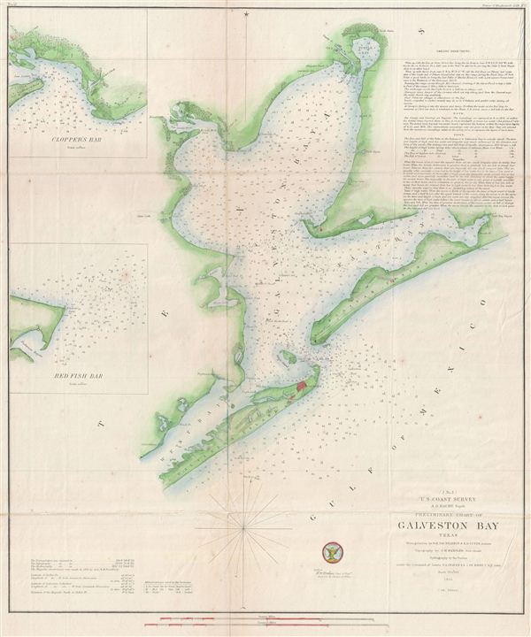
(I No. 3) Preliminary Chart of Galveston Bay Texas.
sold
- Digital Map Information
- Suitable for large format printing
- File Size: 9.37 MB
- File Type: ZIP / TIFF
- ICC color profile embedded
- Delivered instantly via download link
An uncommon 1855 U.S. Coast Survey nautical chart or maritime map of Galveston Bay, Texas. The map covers from Turtle Bay to the entrance to Galveston Bay, including the City of Galveston, Galveston Island, and Bolivar Peninsula. ... (more details)
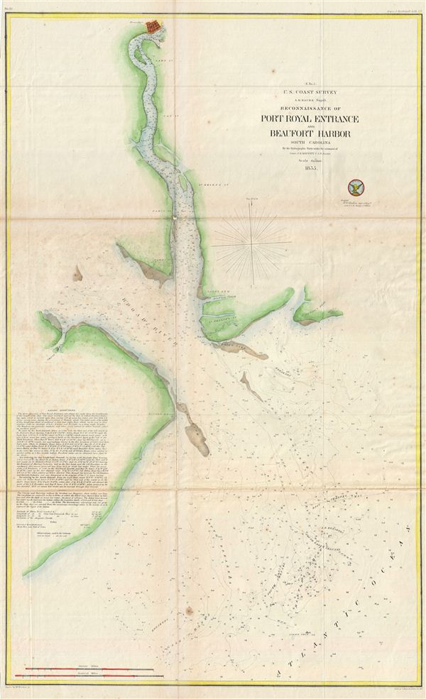
(E No. 5) Reconnaissance of Port Royal Entrance and Beaufort Harbor South Carolina.
sold
- Digital Map Information
- Suitable for large format printing
- File Size: 13.11 MB
- File Type: ZIP / TIFF
- ICC color profile embedded
- Delivered instantly via download link
An uncommon U.S. Coast Survey nautical chart or maritime map of the entrance to Port Royal and Beaufort Harbor, South Carolina. The map covers from the city of Beaufort, top center, along the Beaufort River, to the Broad River and ... (more details)
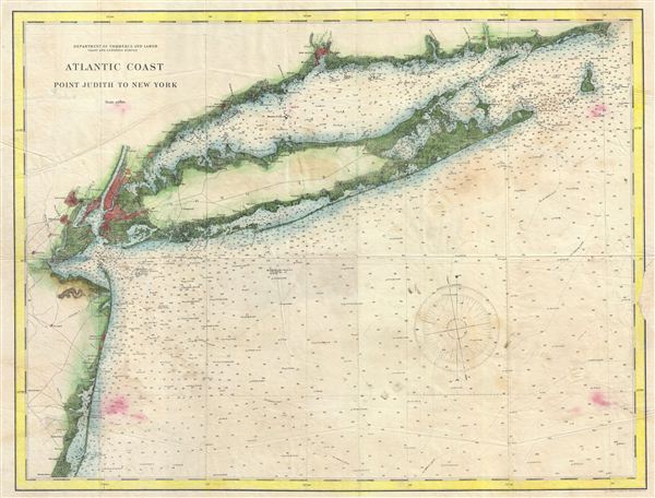
Atlantic Coast Point Judith to New York.
sold
- Digital Map Information
- Suitable for large format printing
- File Size: 18.91 MB
- File Type: ZIP / TIFF
- ICC color profile embedded
- Delivered instantly via download link
An uncommon and appealing nautical chart of New York City, Long Island, the Connecticut coastline adjacent to the Long Island Sound, and parts of New Jersey to Barnegat Bay. A beautiful example of the Coast Survey's work in this ... (more details)
A particularly beautiful example of this important nautical chart.

Preliminary Chart of Charleston Harbor and its Approaches.
sold
- Digital Map Information
- Suitable for large format printing
- File Size: 34 MB
- File Type: ZIP / TIFF
- ICC color profile embedded
- Delivered instantly via download link
This is a highly desirable and uncommon 1856 U.S. Coast Survey chart or map of Charleston Harbor, South Carolina. Covers from Charleston south to Folly Island and east as far as Long island. Offers stunning inland detail ... (more details)

Bird's Eye View of Chicago.
sold
- Digital Map Information
- Suitable for large format printing
- File Size: 5.85 MB
- File Type: ZIP / TIFF
- ICC color profile embedded
- Delivered instantly via download link
A highly appealing view of Chicago, Illinois, issued by Alexandre Zeese in 1892, just one year before the Columbian World exposition or Chicago World's Fair. The view details Chicago as seen from Lake Michigan, showing ... (more details)
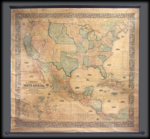
New Map of that portion of North America exhibiting the United States and Territories, the Canadas, New Brunswick, Nova Scotia and Mexico, also, Central America and The West India Islands.
sold
- Digital Map Information
- Suitable for large format printing
- File Size: 1.88 MB
- File Type: ZIP / TIFF
- ICC color profile embedded
- Delivered instantly via download link
One of the most interesting and attractive 19th century wall maps of North America. Published in 1855 by Jacob Monk, this large and beautiful wall map, details much of North America from the southern border of Canada ... (more details)