
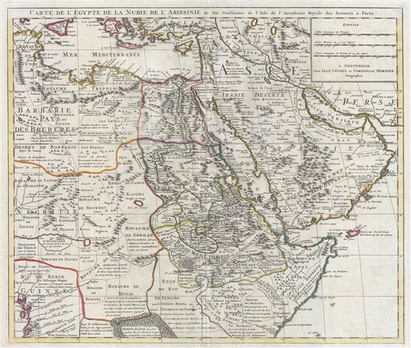
Carte de l'Egypte de la Nubie de L'Abissinie &c.
sold
- Digital Map Information
- Suitable for large format printing
- DPI: 300
- File Size: 18.98 MB
- File Type: ZIP / TIFF
- ICC color profile embedded
- Delivered instantly via download link
A fine example of the 1730 Covens and Mortier issue of Guillaume de L'Isle's important 1707 map of Arabia, egypt, Nubia, and Abyssinia. Centered on the Red Sea and the Nile Valley, this extraordinary Map covers from the Bight of Benin and the Kingdom of Tunis ... (more details)
Shows mythical River of the West.
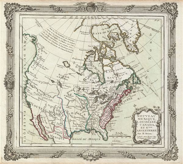
Nouveau Mexique, Louisiane, Canada, et Nlle. Angleterre.
sold
- Digital Map Information
- Suitable for large format printing
- DPI: 300
- File Size: 6.03 MB
- File Type: ZIP / TIFF
- ICC color profile embedded
- Delivered instantly via download link
An appealing first edition issue of Brion de la Tour and Loius Charles Desnos' 1766 map of North America. Depicts North America according to the French conception with hopeful speculative river passages extending west from Hudson Bay towards Lake Winnepeg ... (more details)
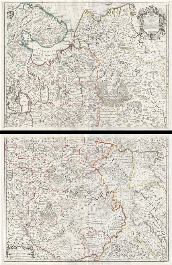
Carte de Moscovie.
sold
- Digital Map Information
- Suitable for large format printing
- Full resolution TIFF file
- ICC color profile embedded
- Delivered instantly via download link
An exceptional example of Guillaume de L'Isle's beautiful c. 1708 two panel map of Russia and the Ukraine. When this map was issued it was by far the most sophisticated map of Russia and the Ukraine yet published and served as a model for most subsequent ... (more details)
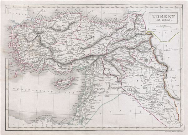
Turkey in Asia.
sold
- Digital Map Information
- Suitable for large format printing
- DPI: 300
- File Size: 6.65 MB
- File Type: ZIP / TIFF
- ICC color profile embedded
- Delivered instantly via download link
A fine example of Adam and Charles Black's 1840 map of Turkey in Asia. The map covers from the Black Sea to Arabia, inclusive Cyprus. Centered on the Holy land (Palestine / Israel), the map covers the modern day countries of Turkey, Cyprus, Iraq, ... (more details)
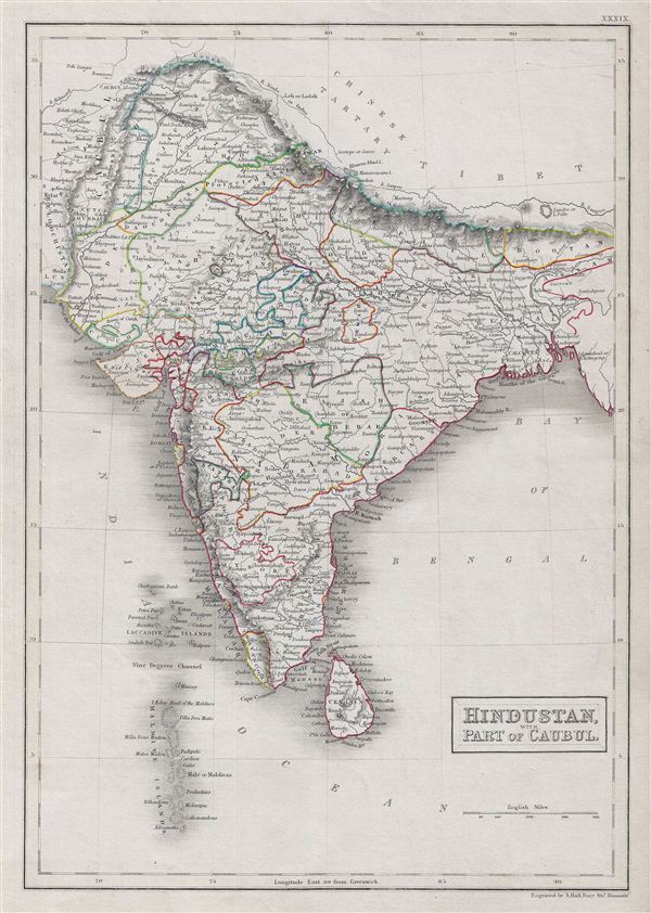
Hindustan, with part of Cabul.
sold
- Digital Map Information
- Suitable for large format printing
- DPI: 300
- File Size: 7.1 MB
- File Type: ZIP / TIFF
- ICC color profile embedded
- Delivered instantly via download link
A fine example of Adam and Charles Black's 1840 map of India. The map covers the Indian subcontinent from the Hindu Kush mountain range to the Indian Ocean. It also includes the Maldive Islands, the Lakshadweep Islands, Ceylon and parts of Kabul in ... (more details)
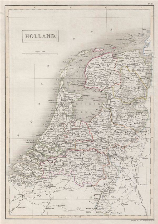
Holland.
sold
- Digital Map Information
- Suitable for large format printing
- DPI: 300
- File Size: 6.27 MB
- File Type: ZIP / TIFF
- ICC color profile embedded
- Delivered instantly via download link
A fine example of Adam and Charles Black's 1840 map of Holland. The map covers the Kingdom of Netherlands, commonly referred to as Holland, from the North Sea to Belgium and the Grand Duchy of the Lower Rhine. In 1830, the Belgian Revolution led ... (more details)
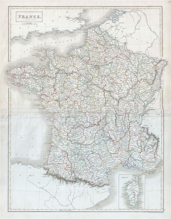
France. In Departments.
sold
- Digital Map Information
- Suitable for large format printing
- DPI: 300
- File Size: 14.63 MB
- File Type: ZIP / TIFF
- ICC color profile embedded
- Delivered instantly via download link
A fine example of Adam and Charles Black's 1840 map of France. The map covers the Kingdom of France showing its various departments. It covers from the Nord in the north to eastern Pyrenees in the south and from Finistere in the west to Upper ... (more details)

France. In Provinces.
sold
- Digital Map Information
- Suitable for large format printing
- DPI: 300
- File Size: 6.36 MB
- File Type: ZIP / TIFF
- ICC color profile embedded
- Delivered instantly via download link
A fine example of Adam and Charles Black's 1840 map of France. The map covers the Kingdom of France showing its various divisions according to province. It covers from the Flanders in the north to Roussillon in the south and from Brittany in ... (more details)

Ireland.
sold
- Digital Map Information
- Suitable for large format printing
- DPI: 300
- File Size: 7.74 MB
- File Type: ZIP / TIFF
- ICC color profile embedded
- Delivered instantly via download link
A fine example of Adam and Charles Black's 1840 map of Ireland. The map covers all of Ireland divided according to the four ancient provinces of Leister, Ulster, Munster and Connacht. After the Norman Invasion the old provincial structure ... (more details)
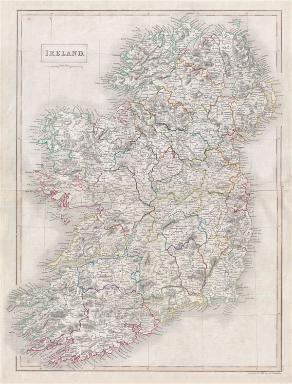
Ireland.
sold
- Digital Map Information
- Suitable for large format printing
- DPI: 300
- File Size: 13.61 MB
- File Type: ZIP / TIFF
- ICC color profile embedded
- Delivered instantly via download link
A fine example of Adam and Charles Black's 1840 map of Ireland. The map shows all of Ireland divided by county. It covers from Donegal in the north to Cork in the south. In 1801, the island of Ireland became part of the United Kingdom of ... (more details)
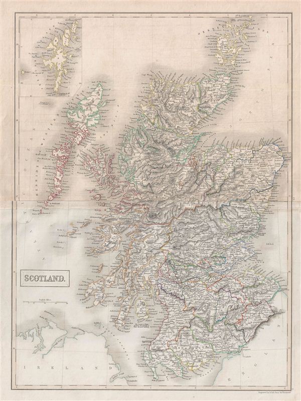
Scotland.
sold
- Digital Map Information
- Suitable for large format printing
- DPI: 300
- File Size: 12.34 MB
- File Type: ZIP / TIFF
- ICC color profile embedded
- Delivered instantly via download link
A fine example of Adam and Charles Black's 1840 map of Scotland. The map covers Scotland from the Orkney Islands to Wigton in the South inclusive of the Hebrides. An inset on the top left corner details the Shetland Islands. In 1843, ... (more details)
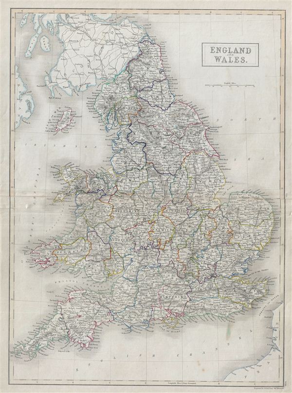
England and Wales.
sold
- Digital Map Information
- Suitable for large format printing
- DPI: 300
- File Size: 13.15 MB
- File Type: ZIP / TIFF
- ICC color profile embedded
- Delivered instantly via download link
A fine example of Adam and Charles Black's 1840 map of england and Wales. The map covers both england and Wales from Northumberland to Cornwall and includes the Isle of Man. During this time, both england and Wales were in the midst ... (more details)

The World.
sold
- Digital Map Information
- Suitable for large format printing
- DPI: 300
- File Size: 5.76 MB
- File Type: ZIP / TIFF
- ICC color profile embedded
- Delivered instantly via download link
A fine example of Adam and Charles Black's 1840 map of the World in Two Hemispheres. The map offers a fascinating snapshot of the world during a period of rapid globalization and discovery. Africa, Australia and New Zealand are ... (more details)

A Chart of Magnetic Curves of Equal Variation.
sold
- Digital Map Information
- Suitable for large format printing
- DPI: 300
- File Size: 7.04 MB
- File Type: ZIP / TIFF
- ICC color profile embedded
- Delivered instantly via download link
A fine example of Adam and Charles Black's 1840 chart of the Magnetic Curves of equal Variation. The chart depicts the magnetic curves over the entire world, but does not show the isomagnetic lines over any continent except ... (more details)
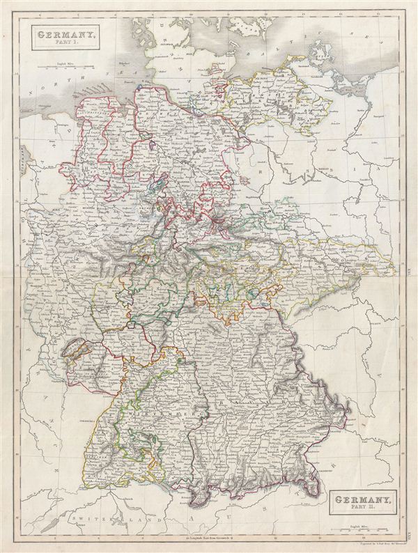
Germany, Part I. Germany, Part II.
sold
- Digital Map Information
- Suitable for large format printing
- DPI: 300
- File Size: 12.73 MB
- File Type: ZIP / TIFF
- ICC color profile embedded
- Delivered instantly via download link
A fine example of Adam and Charles Black's 1840 map of Germany, in two parts. Black's map covers all of Germany and depicts individual German states. During this time in Germany, The German Confederation, created in 1814, ... (more details)
Issued in the year that Great Britian annexed New Zealand.

Africa.
sold
- Digital Map Information
- Suitable for large format printing
- DPI: 300
- File Size: 6.47 MB
- File Type: ZIP / TIFF
- ICC color profile embedded
- Delivered instantly via download link
A fine example of Adam and Charles Black's 1840 map of Africa. The map covers the entire continent from the Mediterranean Sea to the Indian Ocean and the South Atlantic Ocean. Also shows the Island of Madagascar. An ... (more details)
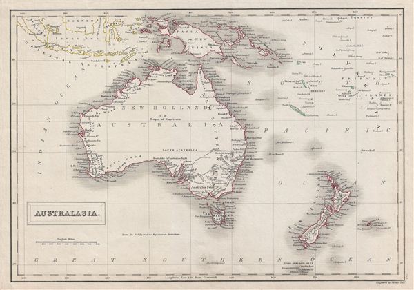
Australasia.
sold
- Digital Map Information
- Suitable for large format printing
- DPI: 300
- File Size: 6.56 MB
- File Type: ZIP / TIFF
- ICC color profile embedded
- Delivered instantly via download link
A fine example of Adam and Charles Black's 1840 map of Australia and New Zealand. The map covers from the east Indies to the Lord Auckland Islands and the Chatam Islands of New Zealand in the Pacific Ocean. It ... (more details)
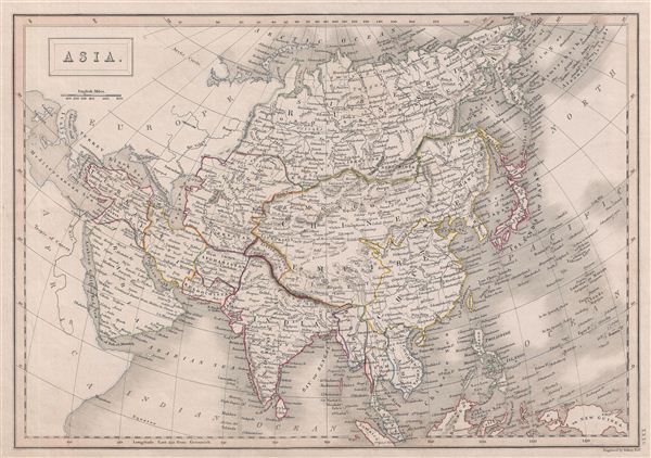
Asia.
$150.00
Acquire
- Digital Map Information
- Suitable for large format printing
- DPI: 300
- File Size: 7.83 MB
- File Type: ZIP / TIFF
- ICC color profile embedded
- Delivered instantly via download link
A fine example of Adam and Charles Black's 1840 map of Asia. The map covers the entire Asian continent from the Arctic Ocean to the Indian Ocean and from the Mediterranean Sea to the North Pacific Ocean. It ... (more details)
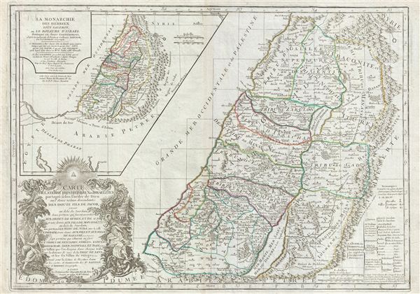
Carte de la terre des Hebreux ou Israelites partagee selon l'ordre de Dieu aux douze tribus descendantes des douze fils de Jacob…
sold
- Digital Map Information
- Suitable for large format printing
- DPI: 300
- File Size: 23.12 MB
- File Type: ZIP / TIFF
- ICC color profile embedded
- Delivered instantly via download link
A fine example of Delamarche's exceptional 1745 map of the Holy Land, Israel, or Palestine. Details the region on both sides of the Jordan River with the Mediterranean shoreline running from Sidon to Raphia. ... (more details)
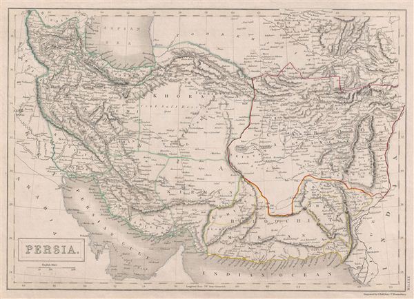
Persia
sold
- Digital Map Information
- Suitable for large format printing
- DPI: 300
- File Size: 6.42 MB
- File Type: ZIP / TIFF
- ICC color profile embedded
- Delivered instantly via download link
A fine example of Adam and Charles Black's 1840 map of Persia. Set between the Caspian Sea and the Persian Gulf, this map covers all of modern day Iran and Afghanistan as well as parts of adjacent Pakistan, ... (more details)