
NEW ACQUISITIONS
Restoration and Renovation.

東京名所筋違萬代橋圖 / [View of Tokyo Famous Site Yorozuyo Bridge].
$1,800.00
Acquire
- Digital Map Information
- Suitable for large format printing
- Full resolution TIFF file
- ICC color profile embedded
- Delivered instantly via download link
A lovely 1873 Ukiyo-e triptych by Hiroshige III depicting the Yorozuyo Bridge (more commonly known as the Mansei Bridge) and environs in Tokyo. The stone bridge, completed the same year, symbolized Japan's modernization and the changes brought about by the Meiji Restoration. (more details)
Largest of the Seven Sisters.
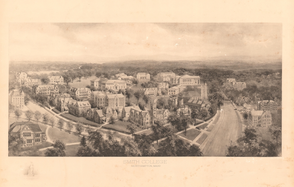
Smith College Northampton, Mass.
$1,500.00
Acquire
- Digital Map Information
- Suitable for large format printing
- File Size: 24.69 MB
- File Type: ZIP / TIFF
- ICC color profile embedded
- Delivered instantly via download link
This is a c. 1913 Richard Rummell view of Smith College, a private liberal arts women's college in Northampton, Massachusetts. It is one of the few Rummell views to represent a women's college, and the only example we've seen. (more details)
A Different Sort of 'Journey to the West.'
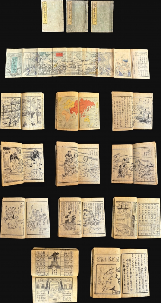
西洋道中膝栗毛 / ['Travels on the Western Road: Hizakurige']. [Vol. 4, Part 2; Vol. 6, Part 1 and 2].
$1,500.00
Acquire
A rare set of three books from a fictional serialized comic travelogue written in the early 1870s by Kanagaki Robun. The series, titled 'Travels on the Western Road,' is a distinctive product of the early Meiji period, when fascination with Western technology and culture peaked, a phenomenon the book both reinforces and ridicules. (more details)
Finest obtainable Colonial Era map of the Gulf Coast around the Mississippi Delta and Louisiana.
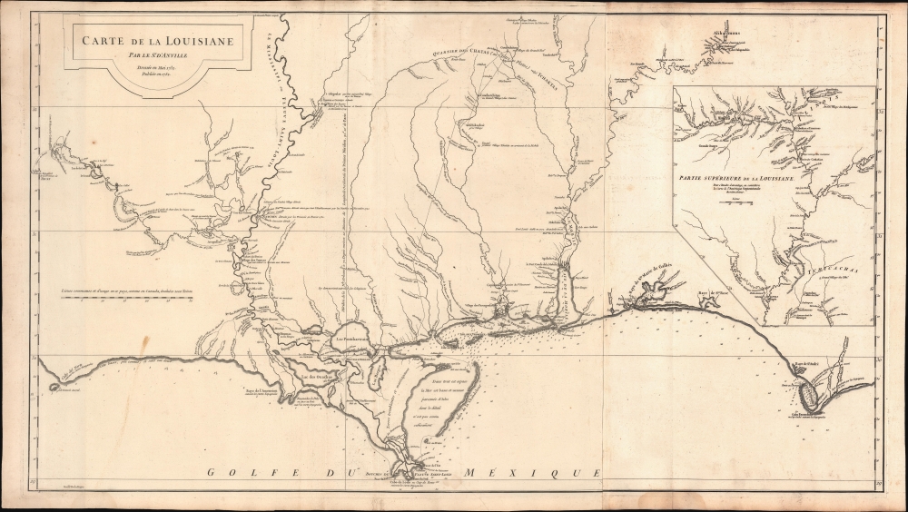
Carte de la Louisiane.
$1,400.00
Acquire
- Digital Map Information
- Suitable for large format printing
- DPI: 600
- File Size: 933.1 MB
- File Type: ZIP / TIFF
- ICC color profile embedded
- Delivered instantly via download link
A lovely example of the important 1732/52 map of the Gulf Coast and lower Mississippi River Valley by Jean Baptiste Bourguignon d'Anville. The map is significant as the largest and most comprehensive map of the Gulf littoral to appear during the French period of Louisiana. (more details)
Crete and the Southern Greek Islands.

Coste Maritime dell' Isola di Candia con tutte le Baye e Porti di essa e dell' Isole la circonviene.
$1,000.00
Acquire
- Digital Map Information
- Suitable for large format printing
- File Size: 18.42 MB
- File Type: ZIP / TIFF
- ICC color profile embedded
- Delivered instantly via download link
This is Francesco Maria Levanto's 1664 chart of Crete and the adjacent Greek islands, in its 1698 Coronelli edition. Levanto's nautical atlas, Prima parte dello Specchio del Mare, was a translation of Pieter Goos' 1662 Zee-spiegel. The Italian adoption of this cartographic model is testimony to the primacy of 17th century Dutch hydrography, however misplaced it may have been in this case. (more details)
Anatolia as known to Ancient Rome.
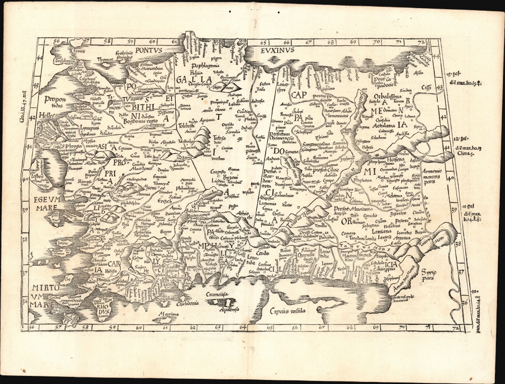
[Tabula I. Asiae].
$1,000.00
Acquire
- Digital Map Information
- Suitable for large format printing
- Full resolution TIFF file
- ICC color profile embedded
- Delivered instantly via download link
This is Laurent Fries' 1525 edition of Martin Waldseemüller's Ptolemaic map of Anatolia, one of the earliest generally acquirable maps of what would become modern-day Turkey. (more details)
Delmarva Peninsula (Chesapeake Bay).
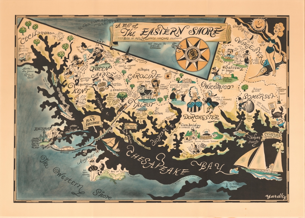
A Map of the Eastern Shore … Rich in History, Romance and (yum) Seafood.
$975.00
Acquire
- Digital Map Information
- Suitable for large format printing
- File Size: 52.49 MB
- File Type: ZIP / TIFF
- ICC color profile embedded
- Delivered instantly via download link
This is Richard Q. Yardley's charming map of the eastern shore of the Chesapeake Bay. It is an iconic representation of a region steeped in local and historical character. (more details)
The ATOMap - America's Atomic Obsession.
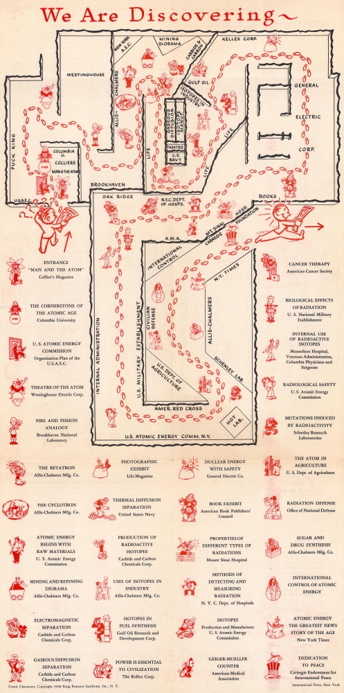
Mayor's Committee for the Commemoration of the Golden Anniversary of the City of New York presents Man and the Atom.
$950.00
Acquire
- Digital Map Information
- Suitable for large format printing
- Full resolution TIFF file
- ICC color profile embedded
- Delivered instantly via download link
This is a 1948 map of the 'Man and the Atom' exhibit, illustrating the America's brief Atomic Crase. The exhibit was assembled for the New York City Golden Anniversary Exposition at the Grand Central Palace. It was the most comprehensive atomic exhibition presented to the public up to that time. (more details)
One of the earliest western maps of Shanghai.
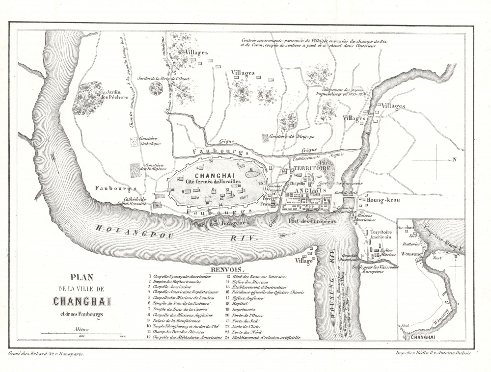
Plan de la Ville de Changhai et de ses Faubourgs.
$850.00
Acquire
- Digital Map Information
- Suitable for large format printing
- File Size: 2.25 MB
- File Type: ZIP / TIFF
- ICC color profile embedded
- Delivered instantly via download link
This 1858 map of Shanghai by W. S. Milne and Erhard illustrates the early days of the Treaty Port Era (1842 - 1943). Cartographically, it is one of the earliest Western representations of Shanghai, based on the L. M. Becker map of 1853, itself drawn and published in the 1857 first English edition of Milne's Life In China. This example is the 1858 French edition. Although printed in 1858, the cartography dates to the late 1840s or early 1850s, when Milne visited Shanghai, thus revealing the early stages of Concession development. (more details)
Proving the connection between the Orinoco and Amazon.
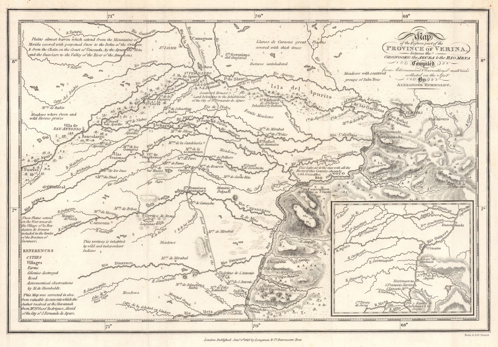
Map of the Eastern part of the Province of Verina, between the Oronooko ther Abura and the Rio Meta Compiled from Astronomical Observations and materials collected on the Spot by Alexander Humboldt.
$550.00
Acquire
- Digital Map Information
- Suitable for large format printing
- File Size: 4.59 MB
- File Type: ZIP / TIFF
- ICC color profile embedded
- Delivered instantly via download link
This is an 1818 Alexander von Humboldt map of parts of the modern-day states of Apure and Bolívar in Venezuela. The map provides greater context for Humboldt and Bonpland's epic voyage on the Rio Apure to the Orinoco. The copiously annotated map ('abounds with Crocodies') allowed Humboldt's Personal Narrative readers to better grasp the geography, challenges, and terrain. This voyage proved the connection between the Orinoco and the Rio Negro, and thus the Amazon, solving a long-pondered cartographic mystery. Humboldt's greater voyage through South America, resulted in his most famous work, Cosmos, an era-defining scientific achievement. (more details)
Large decorative map of Massachusetts.
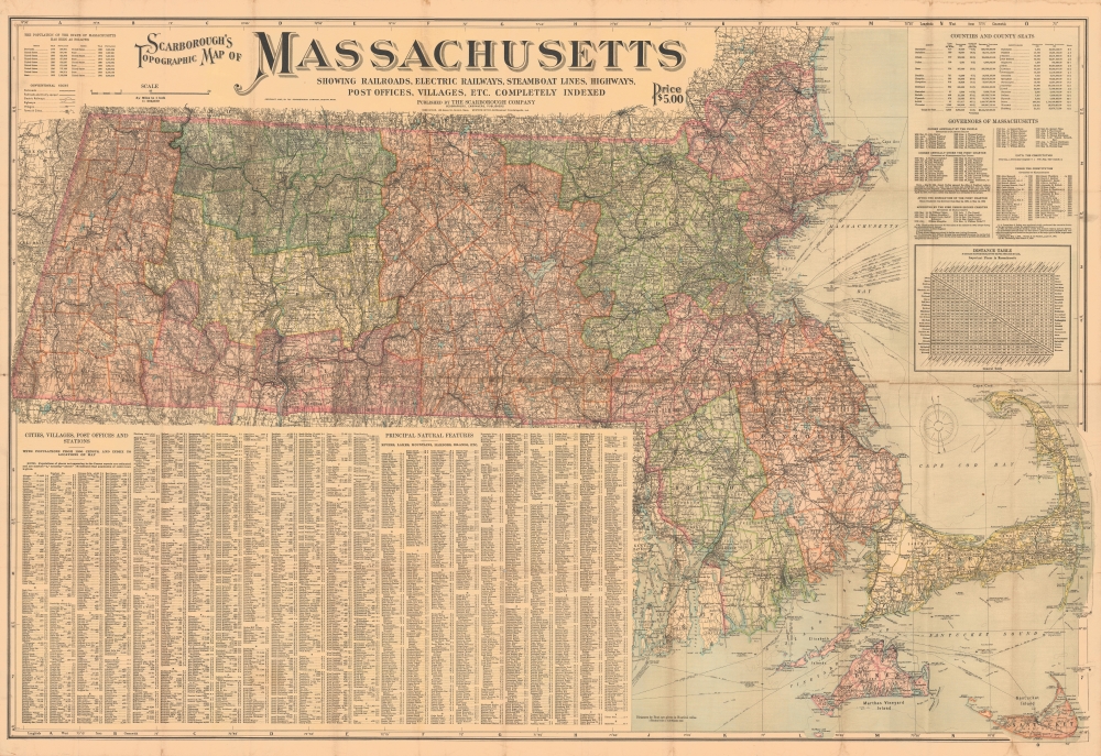
Scarborough's Topographic Map of Massachusetts Showing Railroads, electric Railways, Steamboat Lines, Highways, Post Offices, villages, etc. Completely Indexed.
$500.00
Acquire
- Digital Map Information
- Suitable for large format printing
- File Size: 193.87 MB
- File Type: ZIP / TIFF
- ICC color profile embedded
- Delivered instantly via download link
This is a 1903 Scarborough Company map of Massachusetts. Scarborough maps are widely admired for their boldly distinctive typography. (more details)
Among the earliest Western maps of Ningbo.
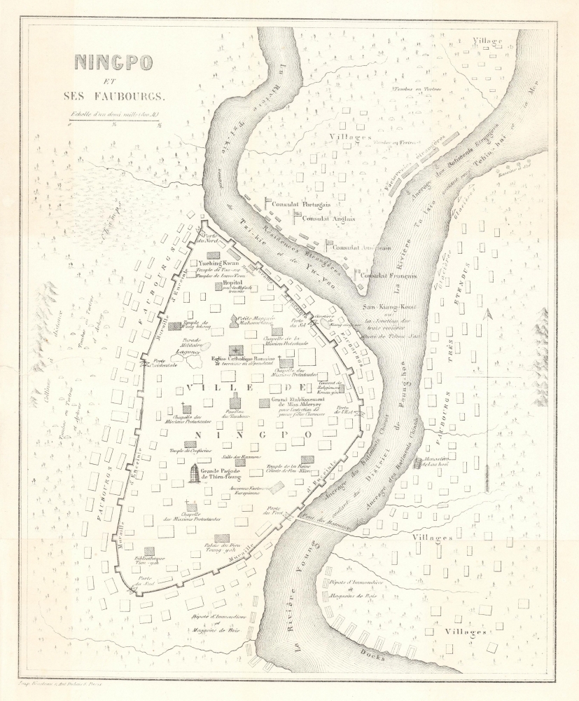
Ningpo et ses Faubourgs.
$500.00
Acquire
- Digital Map Information
- Suitable for large format printing
- File Size: 3.9 MB
- File Type: ZIP / TIFF
- ICC color profile embedded
- Delivered instantly via download link
An important c. 1858 map of Ningbo, China by William C. Milne, published in the French translation of his book Life in China, one of the earliest Western maps of the city. Though a long-established port that Europeans had visited as early as 1520, Ningbo had undergone significant changes since the First Opium War (1839 - 1842), after which it became a Treaty Port. (more details)
Italians on the Burmese Frontier.
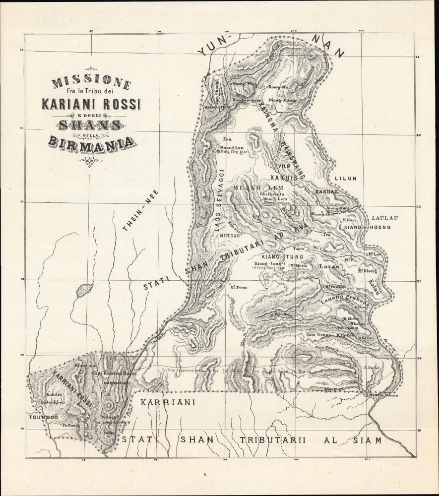
Missione fra le Tribù dei Kariani rossi e degli Shans nella Birmania.
$500.00
Acquire
- Digital Map Information
- Suitable for large format printing
- File Size: 101.65 MB
- File Type: ZIP / TIFF
- ICC color profile embedded
- Delivered instantly via download link
A curious c. 1890 Italian-language map of the Burmese Shan States and environs, stretching as far east as Luang Prabang. The title and some historical context strongly suggest that this map was prepared by Italian missionaries of the Pontifical Institute for Foreign Missions society in the years after the Third Anglo-Burmese War. (more details)
Humboldt on the Orinoco.
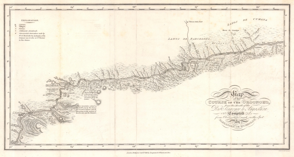
Map of the Course of the Oroonoko, from the Mouth of the Rio Sinaruco to Angostura. Compiled from Pobservations made on the Spot by Alexandre de Humboldt.
$500.00
Acquire
- Digital Map Information
- Suitable for large format printing
- File Size: 4.57 MB
- File Type: ZIP / TIFF
- ICC color profile embedded
- Delivered instantly via download link
This is an 1818 Alexander von Humboldt map of part of the Orinoco River in modern-day Venezuela. It was compiled to illustrate Humboldt's epic voyage through South America, resulting in his Cosmos, an era-defining scientific work. (more details)
'There is an opportunity for everybody, rich and poor.'
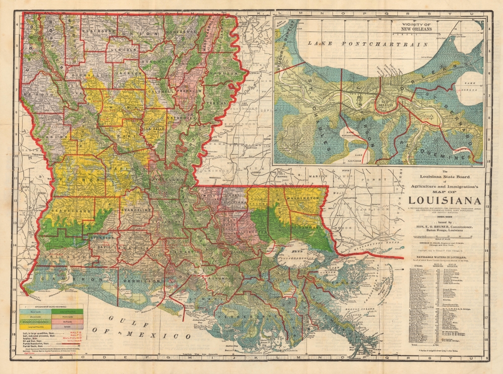
The Louisiana State Board of Agriculture and Immigration's Map of Louisiana. A Phytogeographic Map Showing the Principal Vegetation Areas, all Principal Commercial Points, Town Populations and Railway Distances.
$450.00
Acquire
- Digital Map Information
- Suitable for large format printing
- Full resolution TIFF file
- ICC color profile embedded
- Delivered instantly via download link
This is a 1913 thematic map of Louisiana illustrating terrain and agricultural potential issued by by George F. Cram for the Louisiana State Board of Agriculture and Immigration, under E. O. Bonner. After the American Civil War (1861 - 1865), Louisiana saw its many massive plantations largely abandoned, impossible to maintain and operate without slave labor. Their solution, from the late 19th century, was to encourage immigration through a series of broadside and cartographic publications. (more details)
Bay Area in the Early Postwar Period.
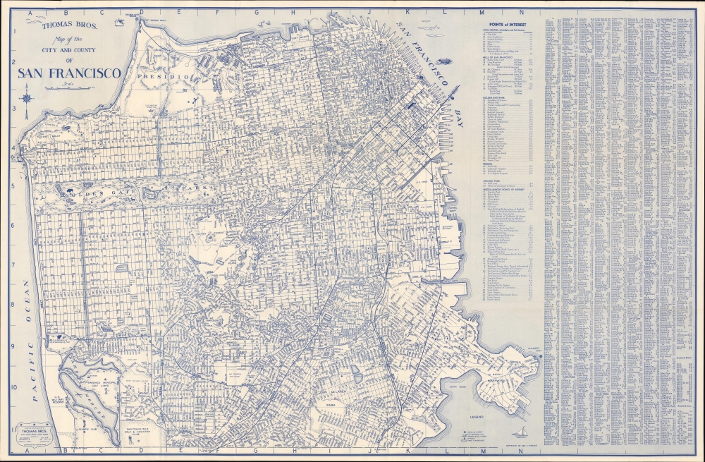
[Cover] Thomas Bros. Street Map San Francisco Oakland including Berkeley-Alameda San Leandro-Piedmont Albany-Emeryville.
$350.00
Acquire
- Digital Map Information
- Suitable for large format printing
- Full resolution TIFF file
- ICC color profile embedded
- Delivered instantly via download link
An impressively c. 1945 large-format Thomas Brothers indexed folding map of San Francisco. The verso includes an equally comprehensive map of Oakland, Berkeley, Alameda, and other East Bay cities. Together, they reflect the development and integration of the Bay Area in the years before, during, and after World War II (1939 - 1945). (more details)
Mapping central Iraq as part of the International Map of the World.

Carte Internationale du Monde au 1,000,000 International Map of the World 1 : 1,000,000 Baghdad North I-38.
$200.00
Acquire
- Digital Map Information
- Suitable for large format printing
- File Size: 45.83 MB
- File Type: ZIP / TIFF
- ICC color profile embedded
- Delivered instantly via download link
This is a 1935 British War Office edition of the Baghdad sheet of the International Map of the World. The International Map of the World was a multi-national effort initiated in the early 20th century to create a uniform large-scale map of the world. Although the effort ultimately floundered and was left incomplete, many individual sheets were prepared, this being the Baghdad sheet. (more details)
Greatest technological and engineering wonder of its generation.
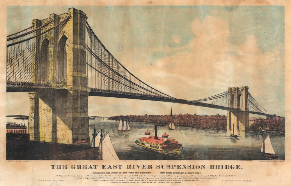
The Great East River Suspension Bridge. Connecting the Cities of New York and Brooklyn. View from Brooklyn, Looking West.
$1,800.00
Acquire
- Digital Map Information
- Suitable for large format printing
- File Size: 36.31 MB
- File Type: ZIP / TIFF
- ICC color profile embedded
- Delivered instantly via download link
This is an 1883 Currier and Ives lithograph view of the Brooklyn Bridge, issued to capitalize on popular obsession following the opening of 'Great East River Bridge', one of the greatest technological and architectural wonders of the late 19th century. (more details)
Kabbala Influence on Christian Alchemical Mysticism.
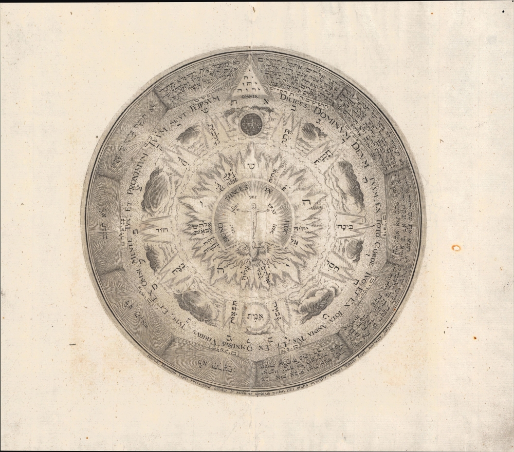
Untitled / [Signo vinces in hoc; vere filius Dei erat ipse...]
$1,500.00
Acquire
- Digital Map Information
- Suitable for large format printing
- File Size: 8.3 MB
- File Type: ZIP / TIFF
- ICC color profile embedded
- Delivered instantly via download link
An intriguing and symbolically rich c. 1609 representation of the cosmos as imagined by Heinrich Khunrath, a prominent alchemist and philosopher of the Hermetic tradition. This plate, engraved by Paulus Van der Doort, appeared in Khunrath's Amphitheatrum Sapientiae Aeternae, an influential text for later alchemists, natural philosophers, and theologians. (more details)
Revelatory map of North America.
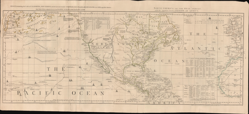
Chart, containing the Coasts of California, New Albion, and Russian Discoveries to the North; with the Peninsula of Kamtschatka, in Asia, opposite thereto; and Islands, dispersed over the Pacific Ocean, to the north of the Line.
$1,500.00
Acquire
- Digital Map Information
- Suitable for large format printing
- Full resolution TIFF file
- ICC color profile embedded
- Delivered instantly via download link
A 1775 map of North America by John Green, also known as Braddock Mead. The map is a masterpiece of late 18th-century cartography by one of the least understood and most controversial cartographers of his age. Mead composed the map in protest to what he considered the flagrantly spurious and irresponsible cartography of Frenchmen Joseph-Nicolas De l'Isle (1688 - 1768) and Phillipe Buache (1700 - 1773). It is noteworthy for its treatment of the speculative 'River of the West,' its naming of the Chinese colony of Fusang, and its tentative mapping of the Aleutian archipelago. (more details)