
NEW ACQUISITIONS
Highlighting all the important landmarks.
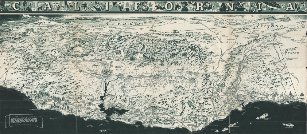
California. / California Official Tourist Picture Map.
$250.00
Acquire
- Digital Map Information
- Suitable for large format printing
- Full resolution TIFF file
- ICC color profile embedded
- Delivered instantly via download link
This is a c. 1936 Charles Hamilton Owens bird's eye view of California. This map was promoted and distributed by the All-Year-Club to promote California tourism. (more details)
Je me souviens.
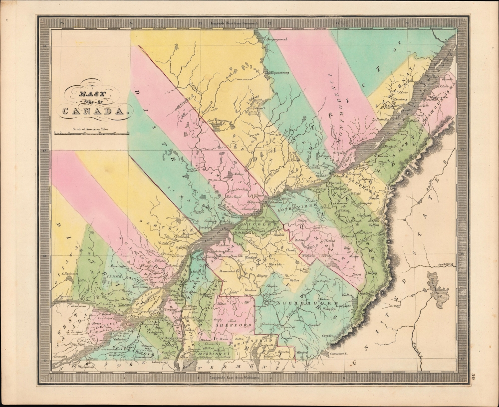
East Part of Canada.
$250.00
Acquire
- Digital Map Information
- Suitable for large format printing
- Full resolution TIFF file
- ICC color profile embedded
- Delivered instantly via download link
A bright, colorful example of Jeremiah Greenleaf's 1849 map of Lower Canada (Quebec). It was published at a time when tensions between Francophone and Anglophone residents of these territories, and between both groups and the British administration, were simmering. (more details)
'The Main Street of America'.
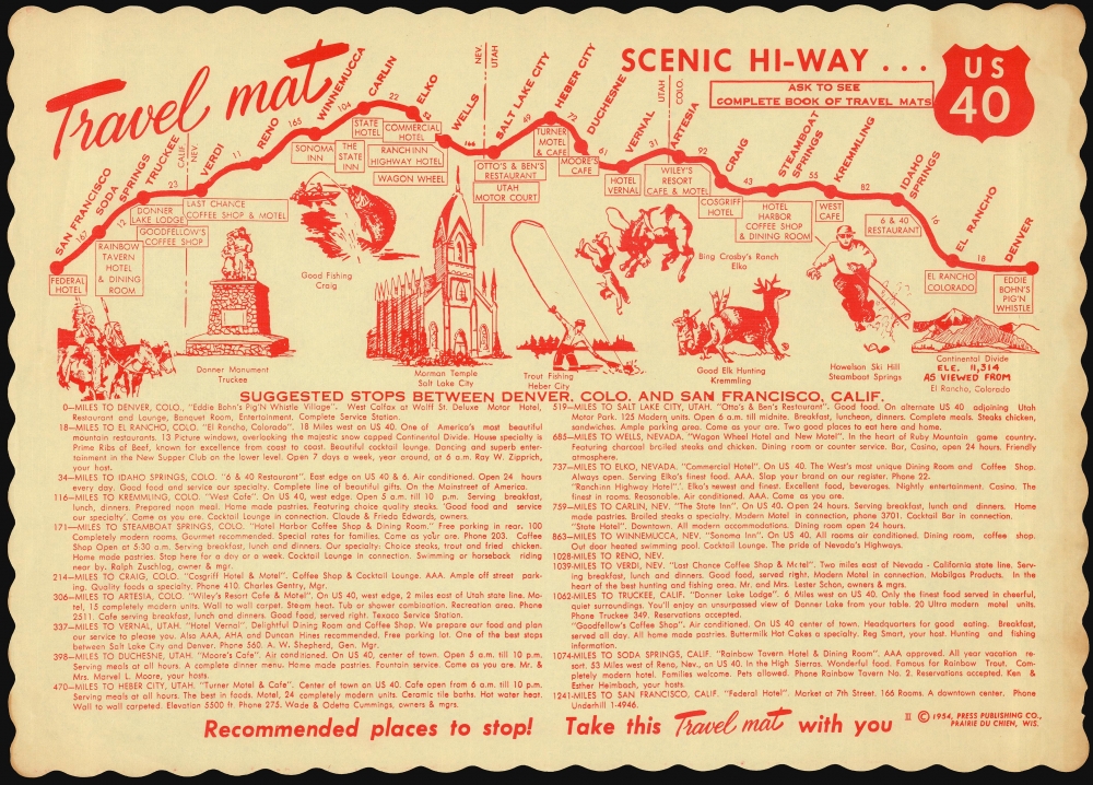
Travel mat Scenic Hi-Way U.S. 40.
$225.00
Acquire
This is a 1954 Travelmats Corporation of America pictorial 'Travel mat' illustrating stops along U.S. Route 40 - 'The Main Street of America' - on a stretch spanning four states from San Francisco, California, to Denver, Colorado. Route 40 was one of the first US Highways, having been created in 1926; it once spanned the continent, from San Francisco to Atlantic City. (more details)
Visually Entertaining English Map of Africa.
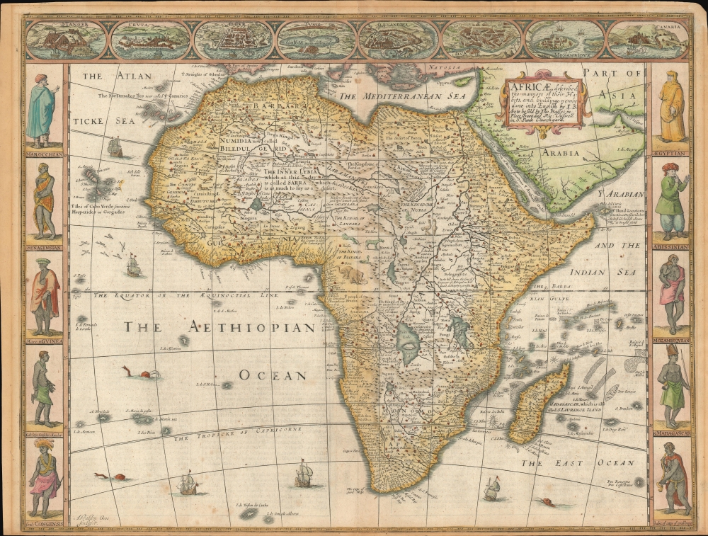
Africae described , the manners of their Habits, and buildings newly done into English by I. S. Are to be sold by Tho Basset in Fleet Street, and Ric Chiswell in St. Pauls Churchyard.
$2,500.00
Acquire
- Digital Map Information
- Suitable for large format printing
- Full resolution TIFF file
- ICC color profile embedded
- Delivered instantly via download link
This is John Speed's 1626 map of Africa. It is the first English map of the continent. This beautiful map is one of the most desirable early maps of Africa, combining superb engraving, attractive Dutch styling, and entertaining and abundant English text. Speed was an accomplished historian and compiler, drawing his maps from state-of-the-art sources. His atlases of the British Isles and the World are among the signal cartographic works of the 17th century. The cartography for this map is drawn from the maps of Jodocus Hondius (whose student Goos actually engraved the map). Hondius' source was ultimately Willem Blaeu's 1608 wall map of Africa. As is the case with all of these maps, the map demonstrates 17th century European geography's detailed knowledge of Africa's coasts wedded to a deep mystification of the interior. The course of the Nile, for example, is shown in substantially the same configuration as was supposed in the second century by Claudius Ptolemy. Speed adds descriptive text - for example, noting areas in western and central Africa where gold is said to be found, and indicating areas said to be occupied by Amazons. (more details)
Vividly-colored Map of Meiji-era Tokyo.
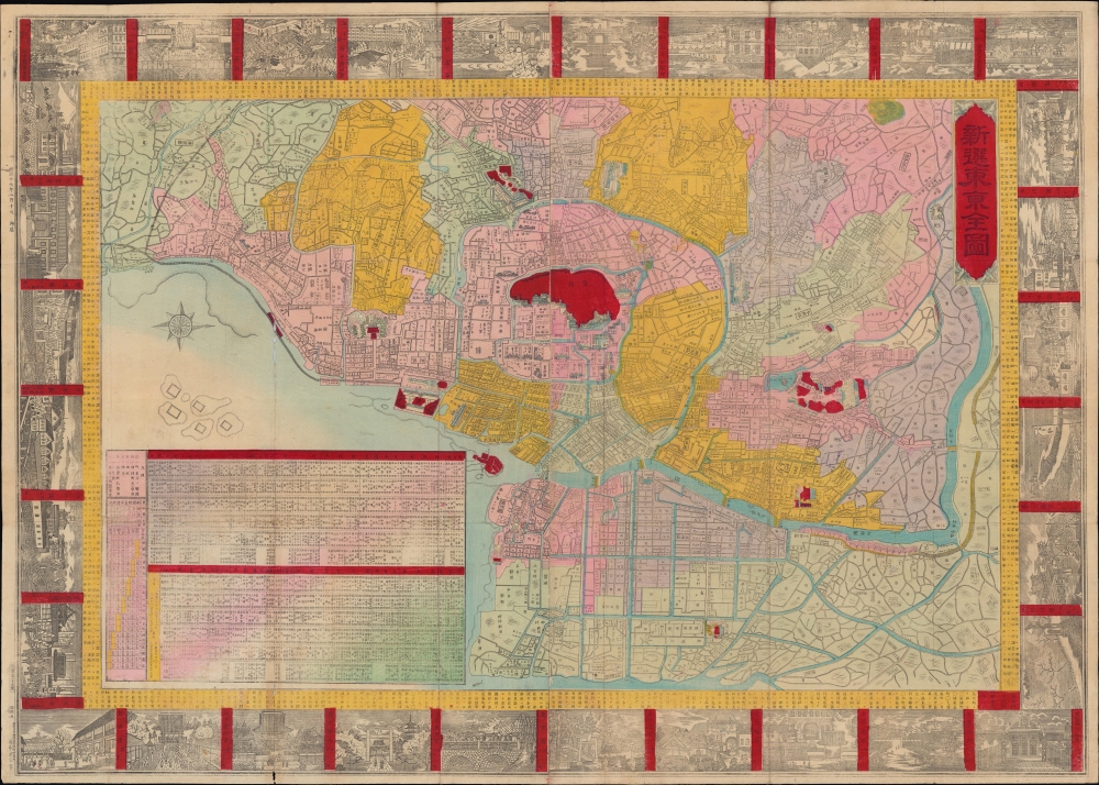
新選東亰全圖 / [Newly Compiled Complete Map of Tokyo].
$1,000.00
Acquire
- Digital Map Information
- Suitable for large format printing
- File Size: 41.81 MB
- File Type: ZIP / TIFF
- ICC color profile embedded
- Delivered instantly via download link
A stunning 1886 map of Tokyo with illustrated vignettes published by Sakai Kinzaburō. It presents the imperial capital during a period of breakneck change, brought about by the Meiji Restoration in 1868. (more details)
Treaty Port Tianjin.
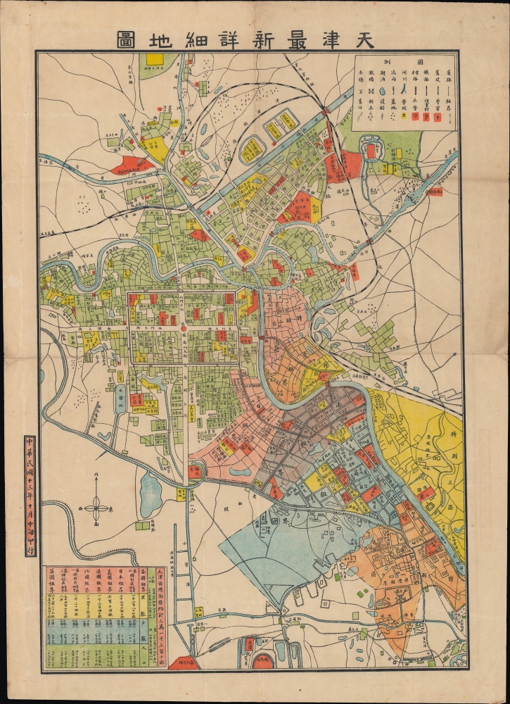
天津最新詳細地圖 / [Latest Detailed Map of Tianjin].
$950.00
Acquire
- Digital Map Information
- Suitable for large format printing
- File Size: 18.69 MB
- File Type: ZIP / TIFF
- ICC color profile embedded
- Delivered instantly via download link
An unrecorded map of Tianjin (Tientsin), China, printed in 1924 by an unknown creator. It depicts the city at the height of the treaty port era (1842 - 1943), when foreign concessions divided the city into separate administrative zones. (more details)
Macao on the Edge.
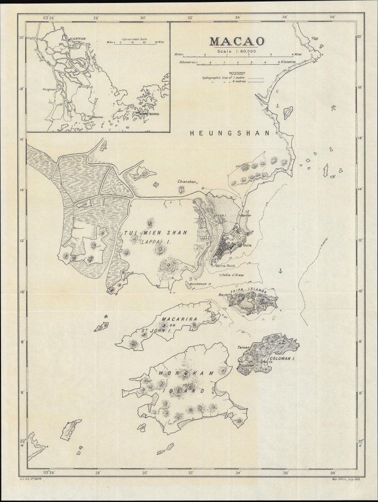
Macao. G.S. G.S., No. 2874.
$850.00
Acquire
- Digital Map Information
- Suitable for large format printing
- File Size: 8.86 MB
- File Type: ZIP / TIFF
- ICC color profile embedded
- Delivered instantly via download link
A scarce World War I-era map of the Portuguese colony of Macao and environs, produced by the British War Office in 1918. (more details)
Solving the fundamental problem of navigation.
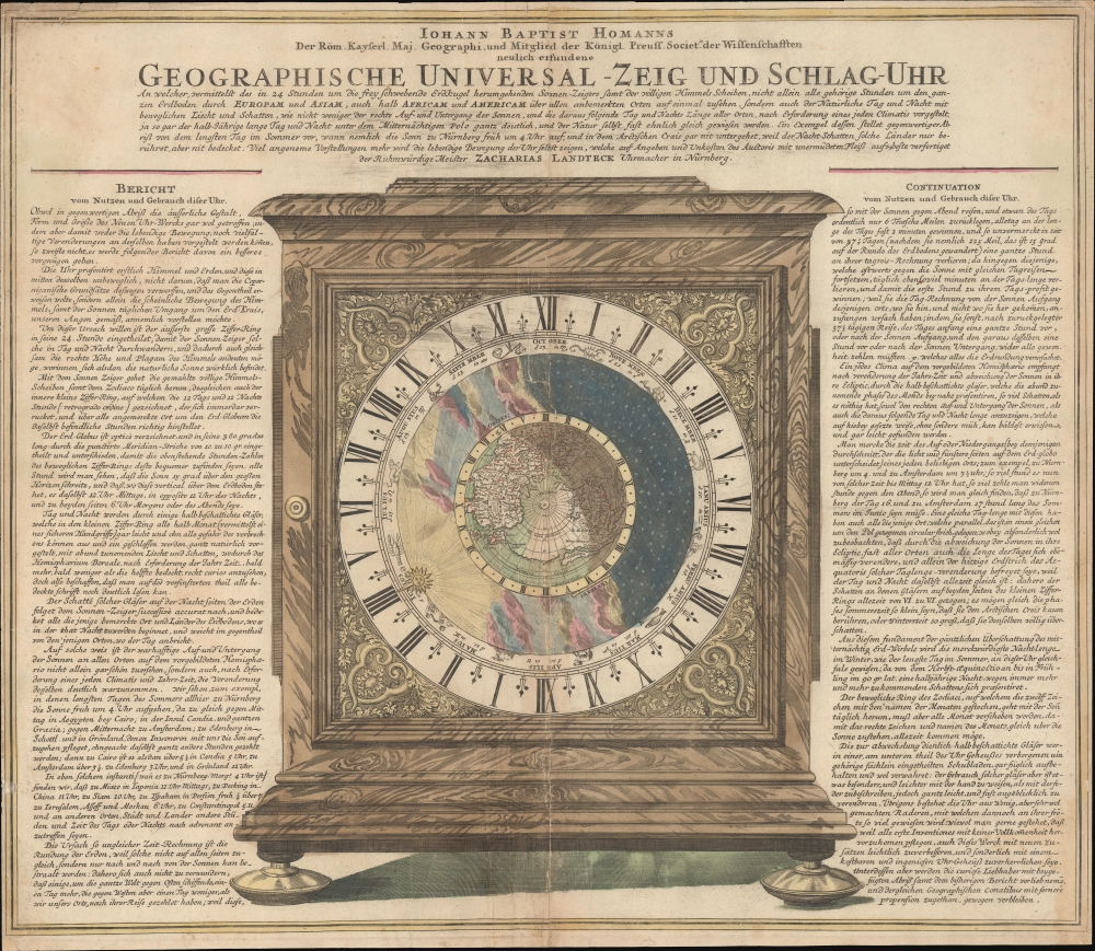
Geographische Universal - Zeig Und Schlag-Uhr.
$600.00
Acquire
- Digital Map Information
- Suitable for large format printing
- DPI: 600
- File Size: 63.8 MB
- File Type: ZIP / TIFF
- ICC color profile embedded
- Delivered instantly via download link
A remarkable c. 1735 Zacharias Landteck and J. B. Homman 'universal clock' with instructions on how to use time to determine longitude at sea - a perennial problem for mariners. The piece advocates for Homann's invention of the universal clock, known as Geographische Universal Zeig und SchlagUhr an (Universal Pointing and Chiming Clock), but this is unverified. (more details)
Scarce Miniature Africa.
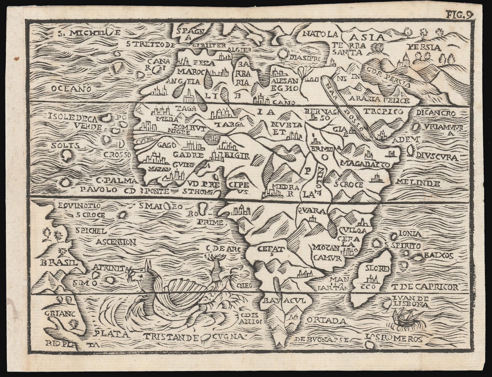
[Untitled map of Africa].
$500.00
Acquire
- Digital Map Information
- Suitable for large format printing
- DPI: 600
- File Size: 6.22 MB
- File Type: ZIP / TIFF
- ICC color profile embedded
- Delivered instantly via download link
This attractive woodcut map of Africa was executed by Giuseppe Moretti for inclusion in the 1688 edition of Giuseppe Rosaccio's Teatro del Mondo. It is an entertaining composition, embellished with a sea monster in the Atlantic and a sailing ship entering the Indian Ocean. The appearance of a woodcut map in this period is itself unusual, especially coming from Italy. Venetian and Roman mapmakers had been working on copperplate well before that technology had passed to Antwerp and Amsterdam. (more details)
Oldest of Wonder of the Ancient World.
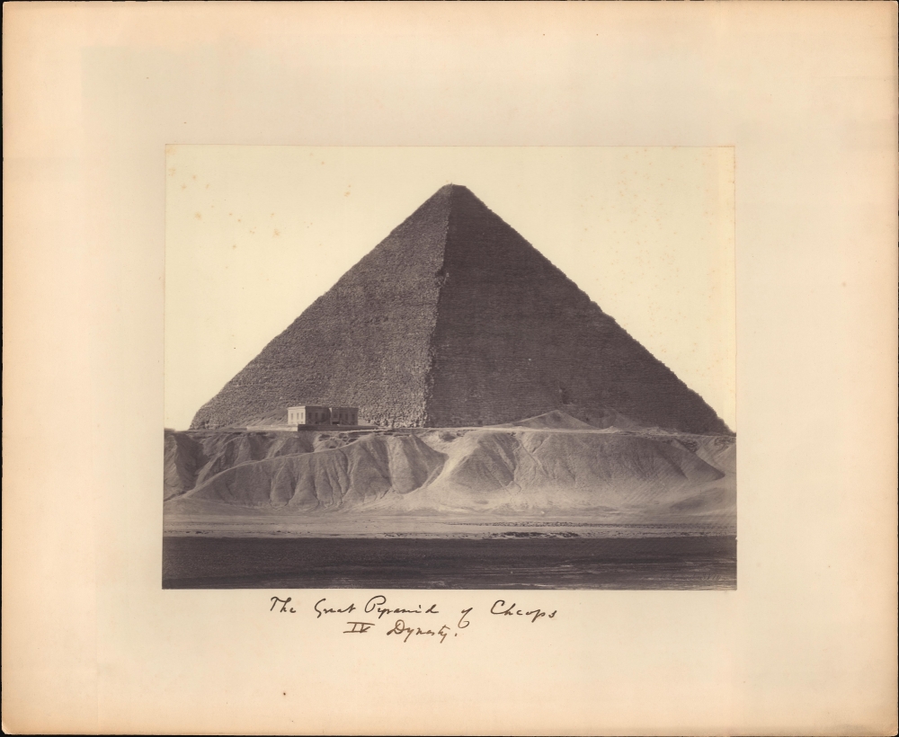
The Great Pyramid of Cheops IV Dynasty.
$500.00
Acquire
- Digital Map Information
- Suitable for large format printing
- File Size: 11.67 MB
- File Type: ZIP / TIFF
- ICC color profile embedded
- Delivered instantly via download link
A c. 1861 Wilhelm Hammerschmidt albumen silver print from a glass negative depicting the Great Pyramid of Khufu (Cheops), Giza, Egypt. The image looks on the images from a point on the Nile - likely during a high-water period. In the midground, a group lounges near stone rubble, possibly a small ruin. This image is number 181 from Hammerschmidt's corpus. (more details)
Hiroshima - Heart of Japan's Military-Industrial Complex.
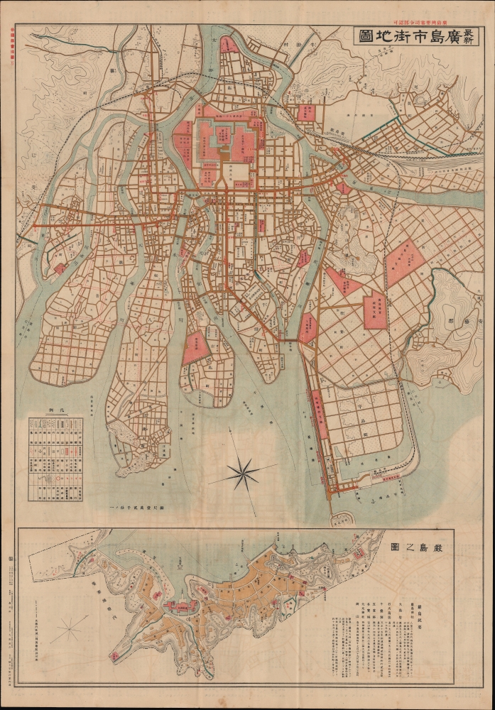
最新廣島市街地圖 / [Latest Street Map of Hiroshima Municipality].
$500.00
Acquire
- Digital Map Information
- Suitable for large format printing
- Full resolution TIFF file
- ICC color profile embedded
- Delivered instantly via download link
A scarce and highly detailed 1922 city plan or map of Hiroshima, Japan, drawn by Mori Jirō (森治郎) and published by Oobuchi Zenkichi. It presents the city in the midst of rapid expansion and industrialization, driven by industries related to the military which would later make the city a target of Allied bombing during the Second World War. (more details)
'The Crown of Horus, bull of victory, Arisen in Thebes...'
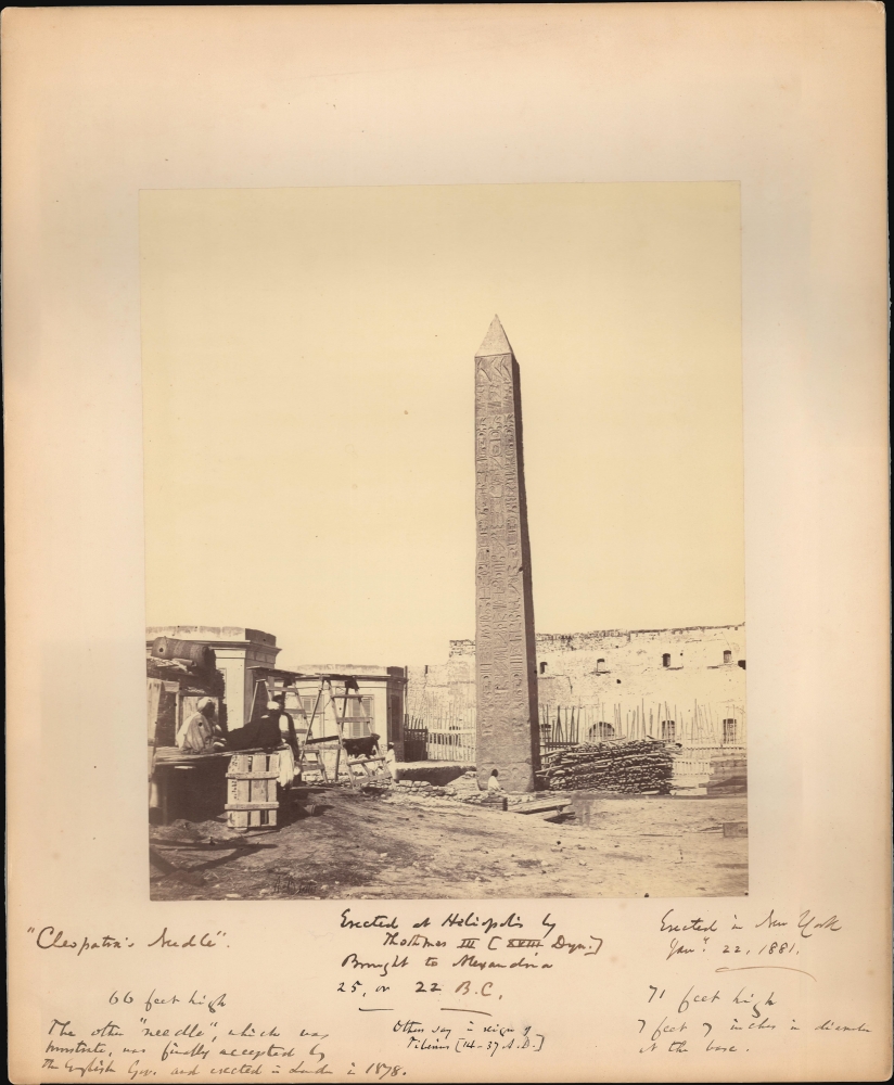
Cleopatra's Needle.
$500.00
Acquire
- Digital Map Information
- Suitable for large format printing
- Full resolution TIFF file
- ICC color profile embedded
- Delivered instantly via download link
This is a c. 1860 Antonio Beato albumen silver print from a glass negative depicting Cleopatra's Needle, Alexandria, Egypt. Here the obelisk is photographed in Alexandria, with surrounding construction and several lounging Egyptians, before it was gifted to the city of New York by the Khedive of Egypt in 1877. This famous obelisk now stands in New York's Central Park. This image has copious annotations in the lower margins, some of which must have been added decades after the photo was acquired - clearly indicating a lingering fascination with the monument. (more details)
'My name is Ozymandias, King of Kings;
Look on my Works, ye Mighty, and despair!' - Shelly
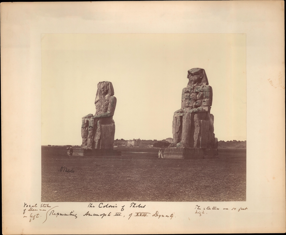
The Colossi of Thebes.
$500.00
Acquire
- Digital Map Information
- Suitable for large format printing
- File Size: 11.04 MB
- File Type: ZIP / TIFF
- ICC color profile embedded
- Delivered instantly via download link
This is a c. 1860 Antonio Beato albumen silver print from a glass negative depicting the Colossi of Memnon, Thebes, Egypt. The great statues of Amenhotep III dominate the images, with an ancient temple in the background. Egyptians stand near each statue, likely intended to provide scale to the 50-foot-high monuments. The owner of the photograph seems to have been particularly fascinated with them and has jotted notes below the image. (more details)
'There are various eyes. Even the Sphinx has eyes: and as a result there are various truths, and as a result there is no truth.' -Nietzsche
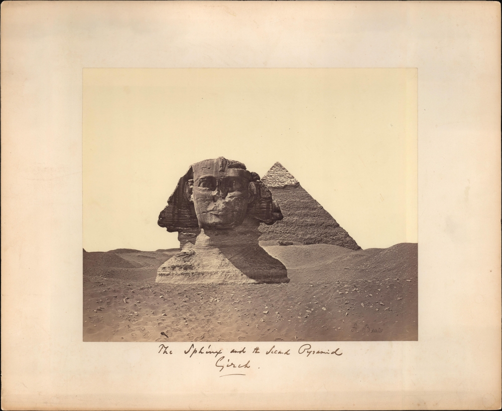
The Sphinx and the Second Pyramid Gizah.
$500.00
Acquire
- Digital Map Information
- Suitable for large format printing
- File Size: 12.36 MB
- File Type: ZIP / TIFF
- ICC color profile embedded
- Delivered instantly via download link
This is a c. 1860 Antonio Beato albumen silver print from a glass negative depicting the Great Sphinx and the Pyramid of Khafre, Giza, Egypt. The mostly buried head and shoulders of the Great Sphinx dominate the image, while Pyramid of Khafre (the second of the three Giza pyramids) fills the background. (more details)
Pyramids of Giza.
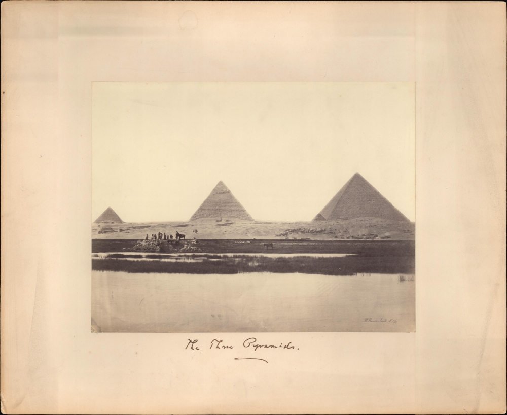
The Three Pyramids (W. Hammerschmidt. N.180).
$500.00
Acquire
- Digital Map Information
- Suitable for large format printing
- File Size: 10.85 MB
- File Type: ZIP / TIFF
- ICC color profile embedded
- Delivered instantly via download link
A c. 1861 Wilhelm Hammerschmidt albumen silver print from a glass negative depicting the Pyramids of Giza, Egypt. The image looks on the Pyramids from a point on the Nile - likely during a high-water period. In the midground, a group lounges near stone rubble, possibly a small ruin. This image is number 180 from Hammerschmidt's corpus. (more details)
Charming Guide to Nahant's History.
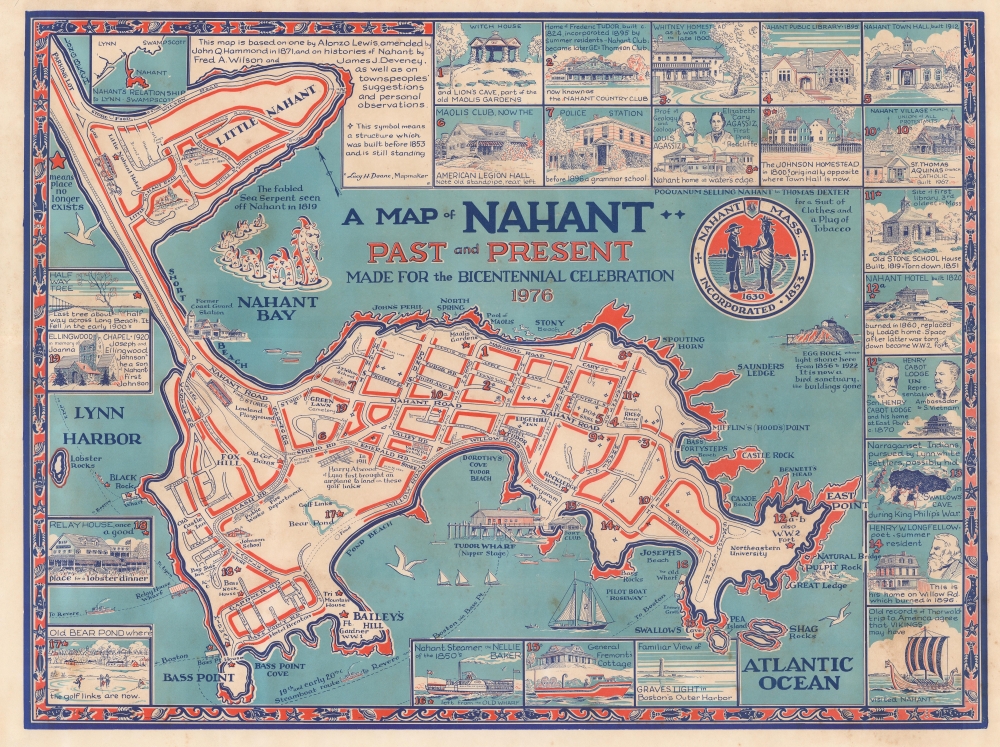
A Map of Nahant, Past and Present Made for the Bicentennial Celebration, 1976.
$500.00
Acquire
An unrecorded 1976 pictorial historical map of Nahant, Massachusetts by local artist Lucy H. Doane. This rich and striking work provides a comprehensive overview of local history, institutions, and lore. (more details)
Provincialism of 'some' New Yorkers.
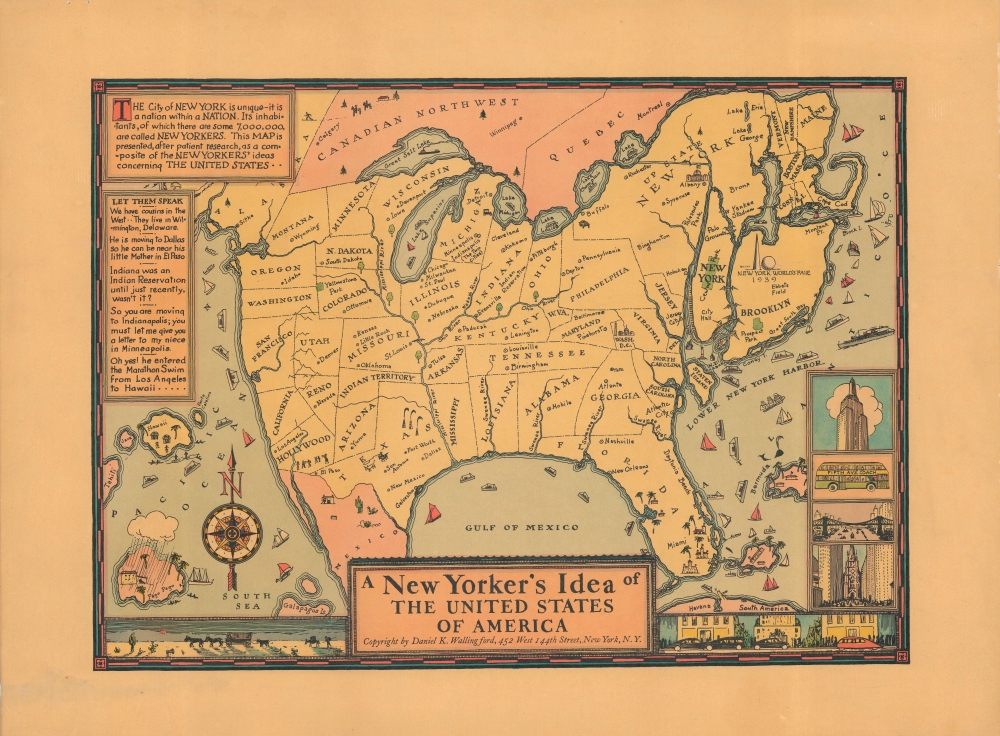
A New Yorker's Idea of The United States of America.
$495.00
Acquire
- Digital Map Information
- Suitable for large format printing
- File Size: 32.98 MB
- File Type: ZIP / TIFF
- ICC color profile embedded
- Delivered instantly via download link
This is a whimsical 1939 Daniel K. Wallingford pictorial map depicting a New Yorker's idea of the United States. Wallingford presents a humorously distorted view of the United States, wherein New York State, Manhattan and Brooklyn, and other areas frequented by New Yorkers (Florida, Bermuda, etc.), are vastly outsized in proportion to the rest of the country. This edition was issued for the 1939 New York World's Fair, which is illustrated just north of Brooklyn. (more details)
First edition of the earliest acquirable view of Worms am Rhine.
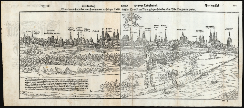
Ware abcontrafactur der loblichen/alten und des heiligen Reichs frei statt Wormbs am Rhein gelegen/so bei den alten Urbs Vangionum genant.
$450.00
Acquire
- Digital Map Information
- Suitable for large format printing
- Full resolution TIFF file
- ICC color profile embedded
- Delivered instantly via download link
This Sebastian Münster's lively, panoramic 1550 view of Worms, Germany, here in its first edition representing the earliest acquirable printed image of the religiously significant imperial free city. (more details)
Delightful Map from Maine's MidCoast.
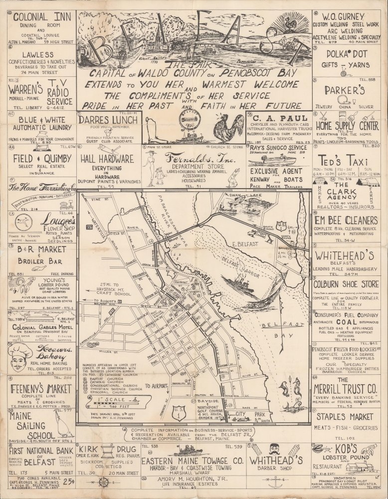
Belfast The Fair Capital of Waldo County on Penobscot Bay Extends to You Her Warmest Welcome...
$400.00
Acquire
An unrecorded 1957 pictorial map of Belfast, Maine by local artist George H. Jennings. An impressive work of artistry, it highlights local businesses, attractions, and culture, especially the town's orientation towards the sea. (more details)
Stronghold of the Revolution.
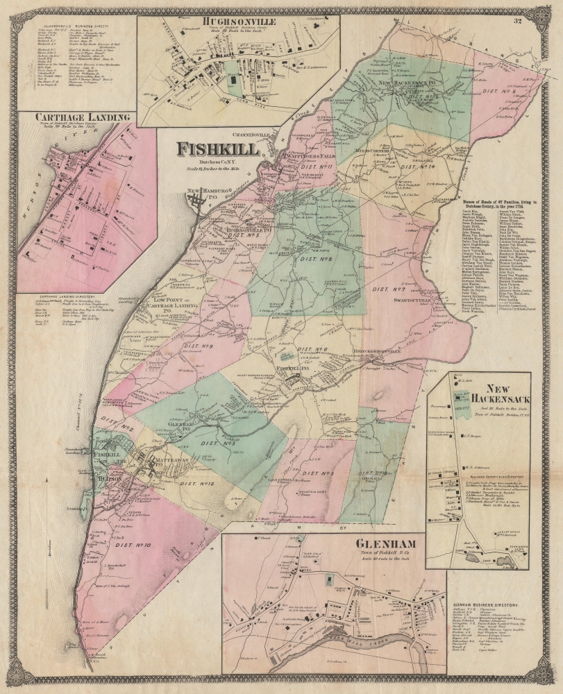
Fishkill Dutchess Co. N.Y.
$400.00
Acquire
- Digital Map Information
- Suitable for large format printing
- File Size: 45.63 MB
- File Type: ZIP / TIFF
- ICC color profile embedded
- Delivered instantly via download link
An example of Frederick W. Beers' 1867 detailed hand-colored map of the town of Fishkill, New York, along the Hudson River. (more details)