Most recently added antique and rare maps as of 7/16/2025.
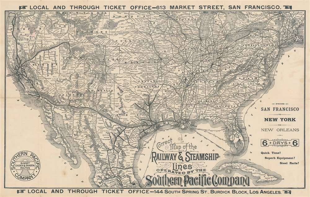
Train and steamship from San Francisco to New York.
$650.00
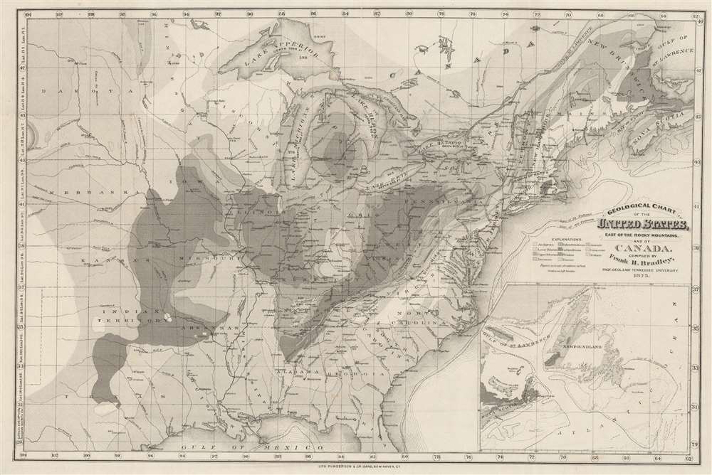
Groundbreaking reclassification of American Geological Zones.
$400.00
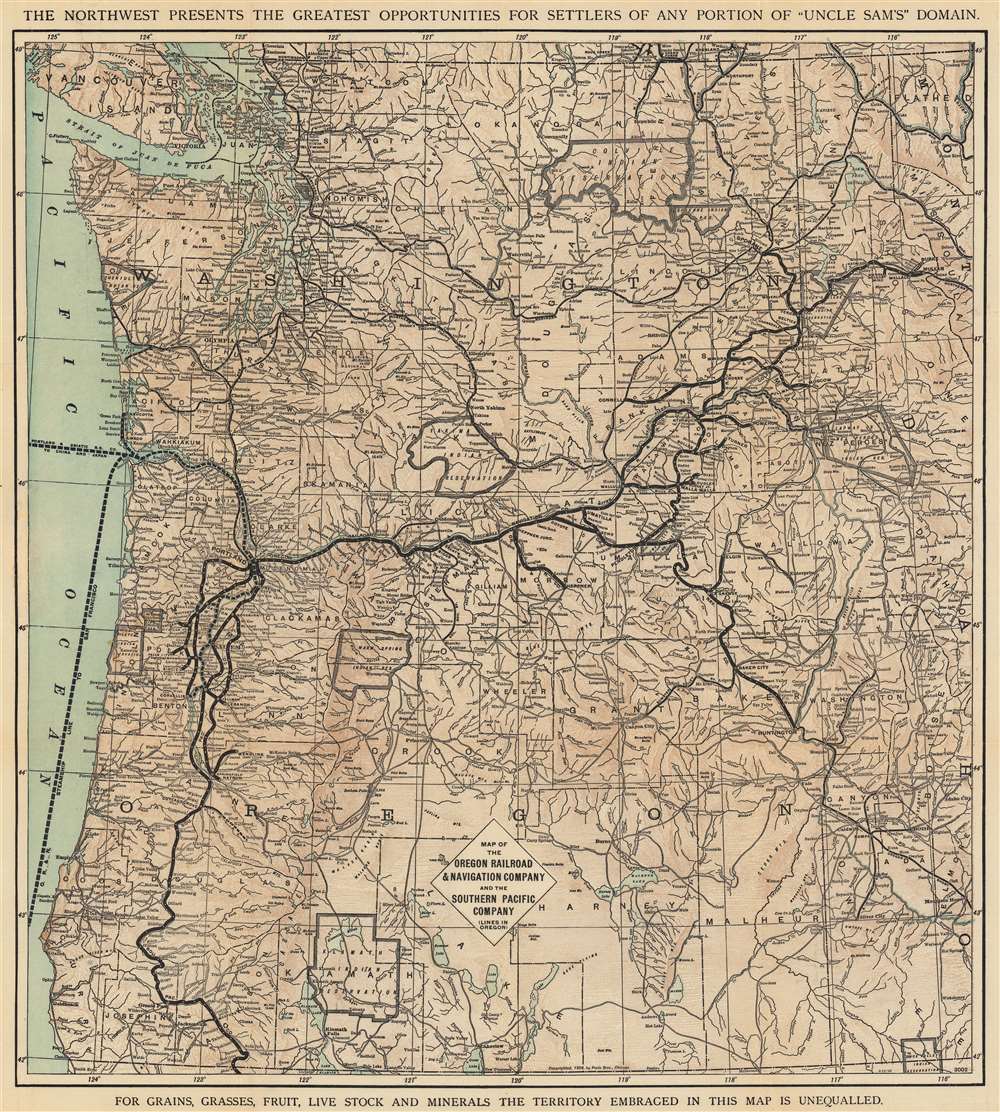
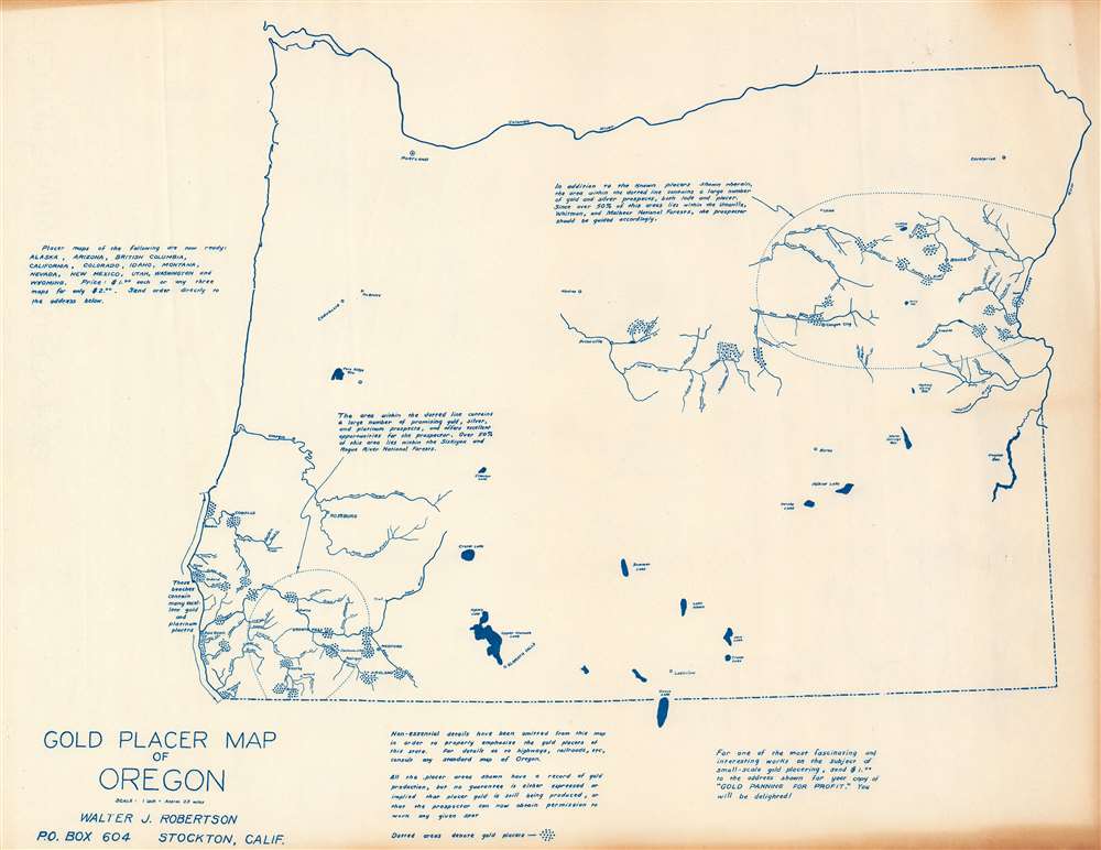
Encouraging emigration to Oregon and Washington.
$400.00
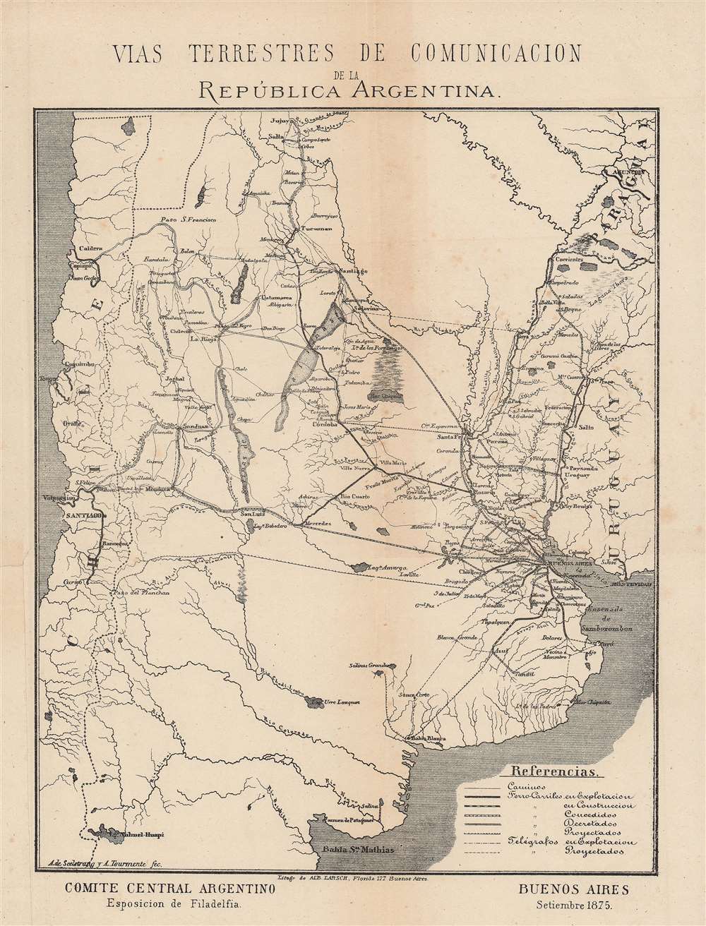
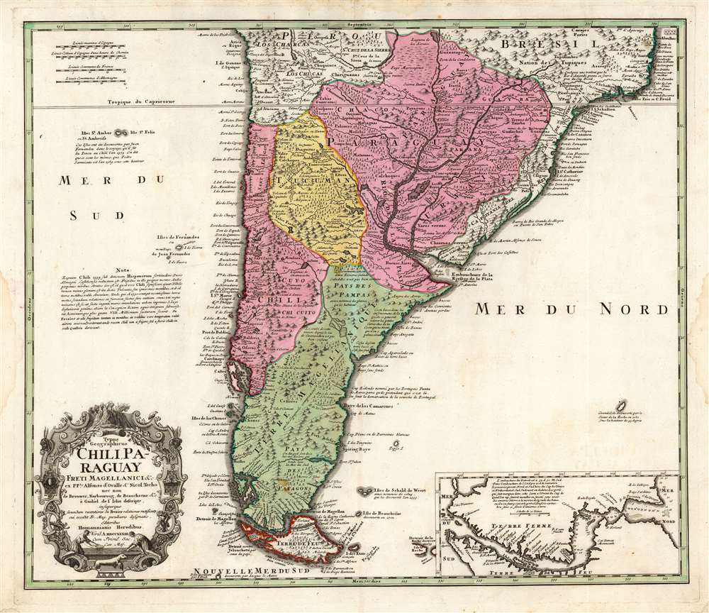
Branching out from Buenos Aires.
$375.00
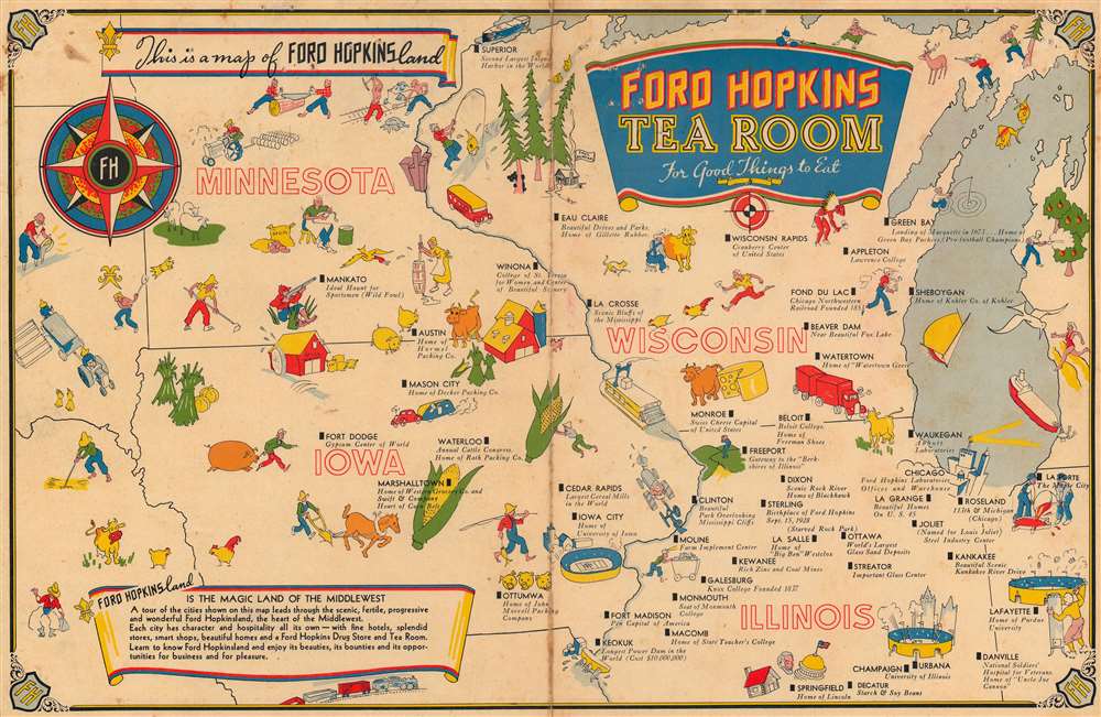
Map and Menu.
$200.00
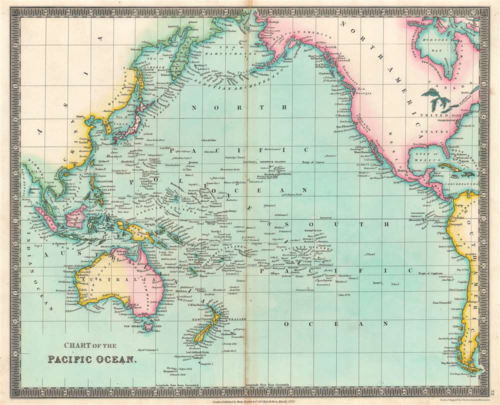
Names 'Alashka' for Alaska and 'Lions Land' in western Australia.
$125.00
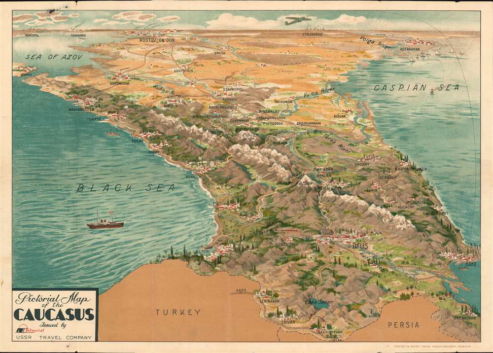
English language 1930s tourist map of the Caucasus that begs the question - why?
$2,000.00
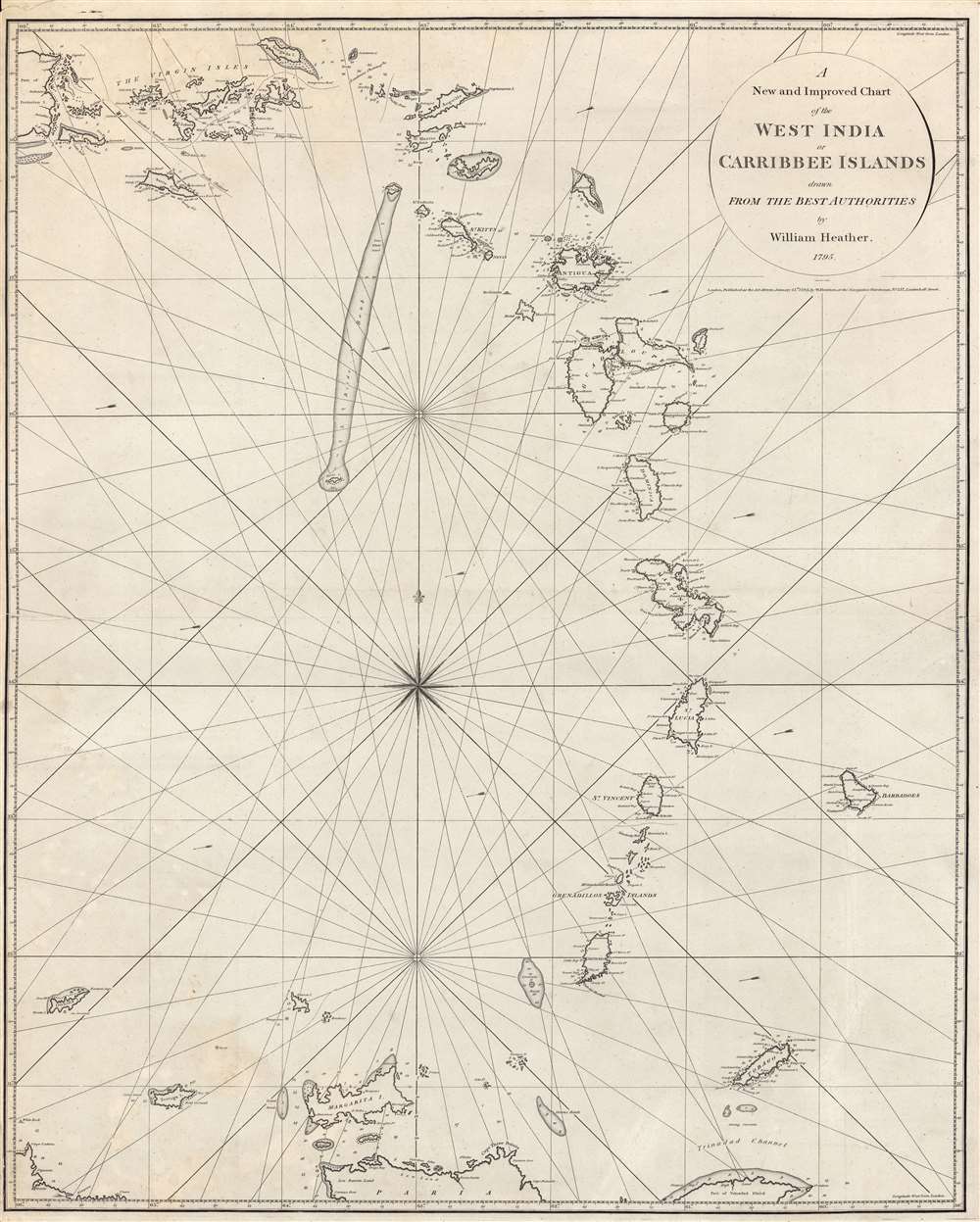
One of Heather's first Blueblacks.
$2,000.00
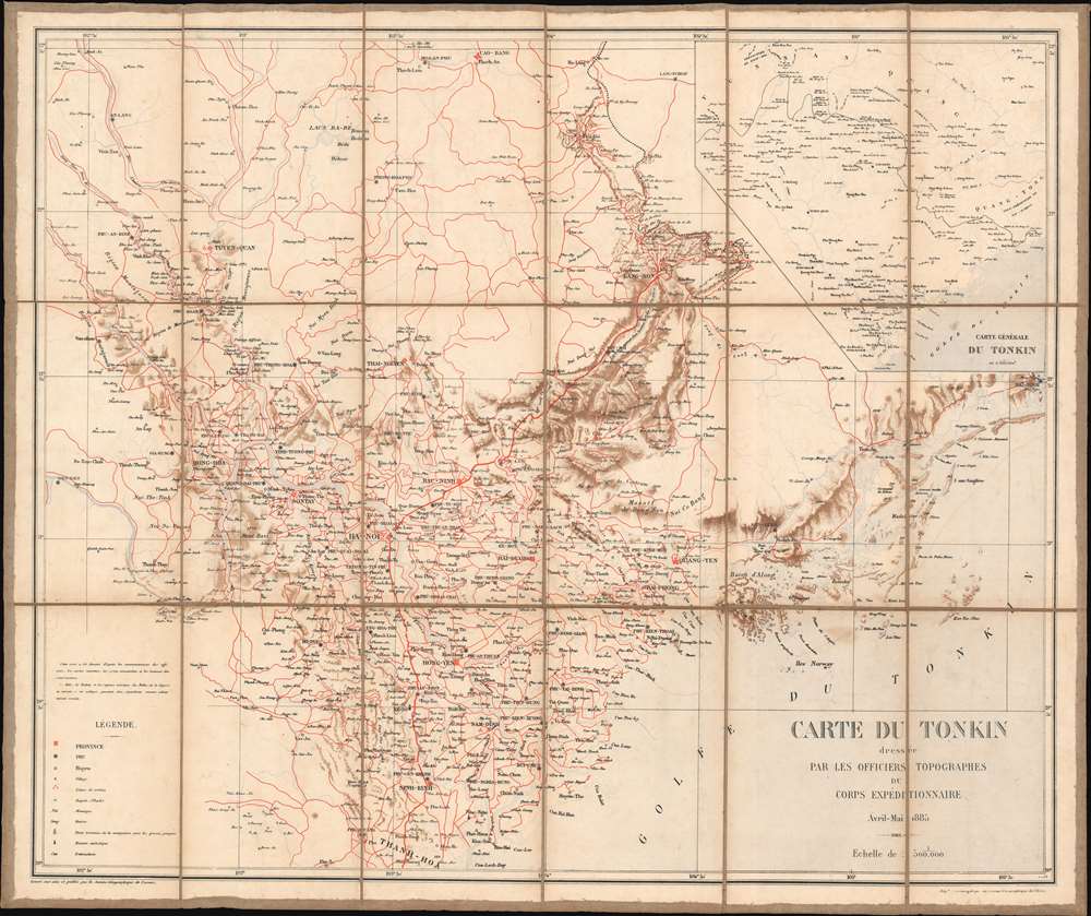
The end of the Sino-French War.
$850.00
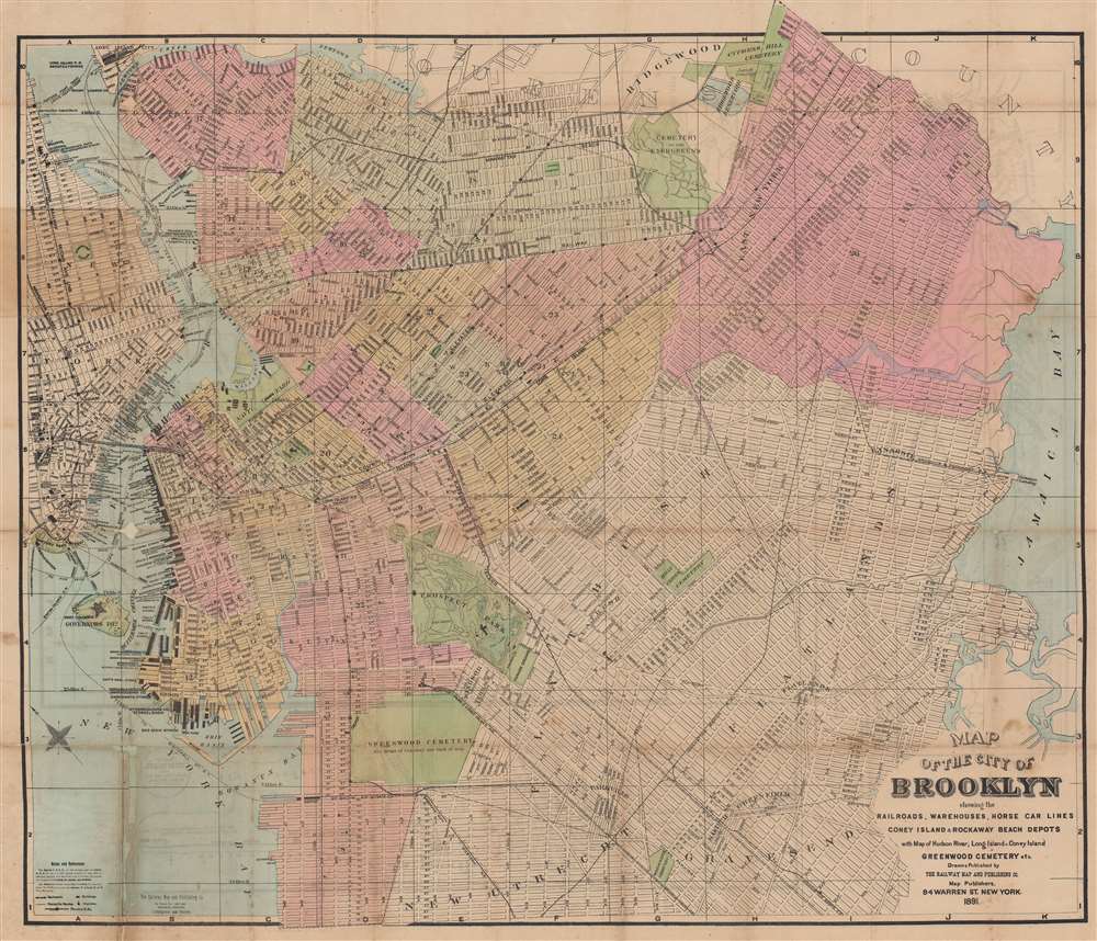
Brooklyn's railroads, streets, and parks!
$850.00
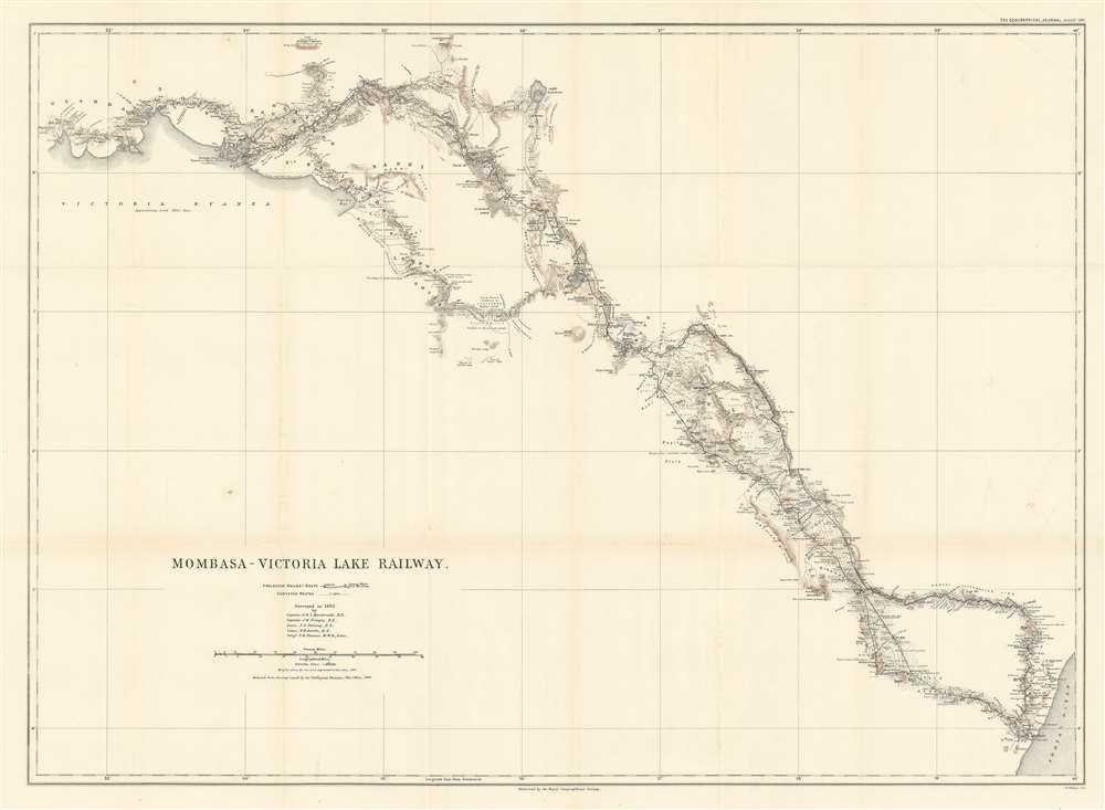
The only railroad built in tropical Africa during the 'Scramble for Africa'.
$650.00
Scarce first state.
$650.00
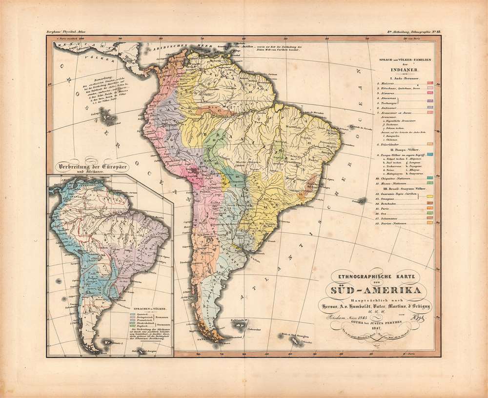
South Americans complex linguistic landscape.
$375.00
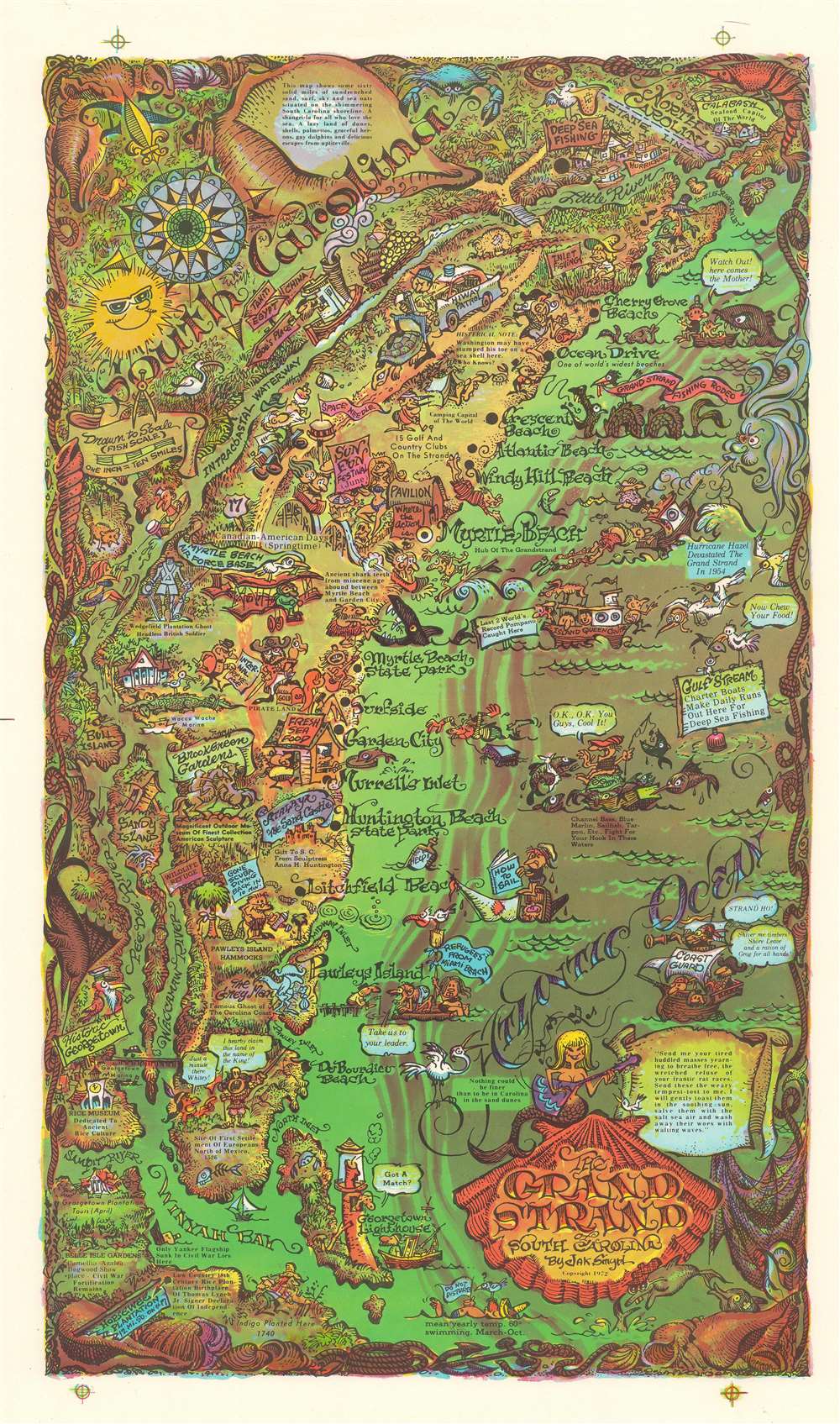
Myrtle Beach welcomes over ten million visitors a year.
$350.00
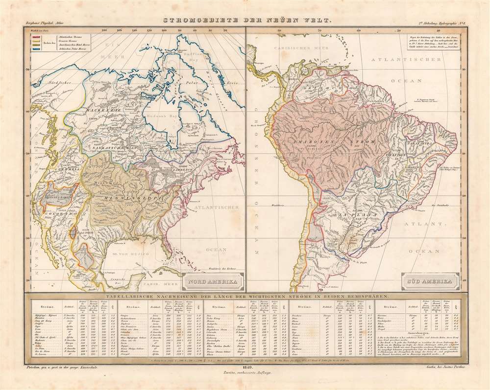
America's waterways from the era of peak canal building.
$200.00

