
NEW ACQUISITIONS
Connecting Burma and China by rail - bold but hopeless...
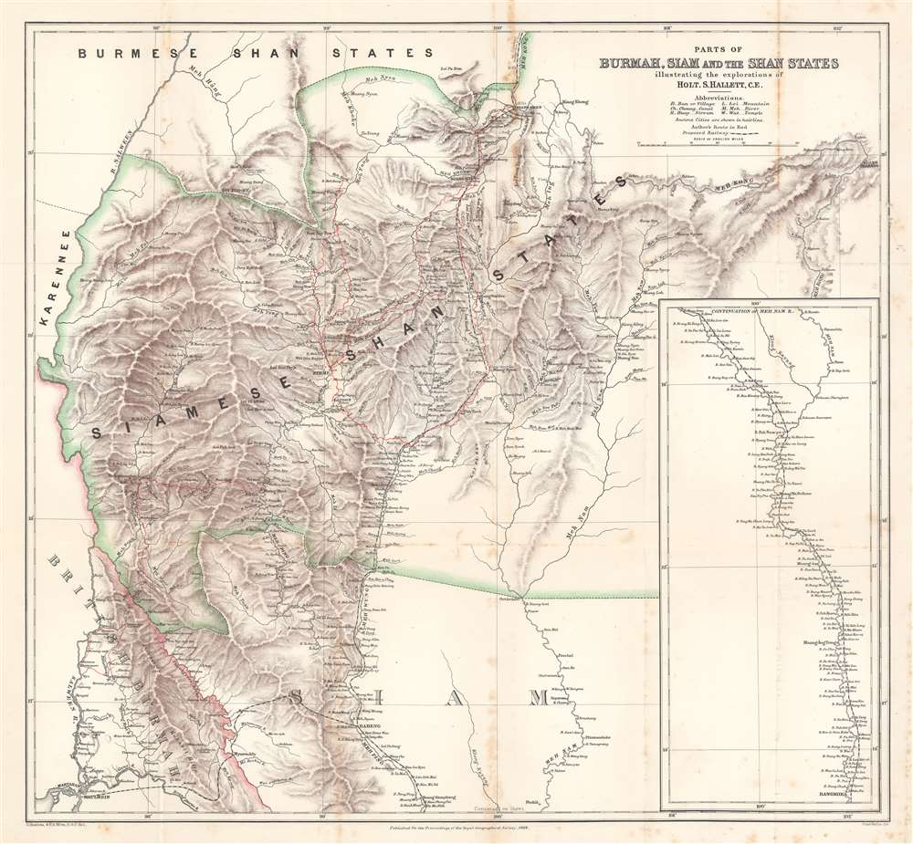
Parts of Burmah, Siam and the Shan States illustrating the explorations of Holt S. Hallett, C.E.
$400.00
Acquire
- Digital Map Information
- Suitable for large format printing
- File Size: 33.9 MB
- File Type: ZIP / TIFF
- ICC color profile embedded
- Delivered instantly via download link
This is an 1886 Henry Sharbau and H. A. Milne map of Burma (Myanmar) and Thailand. The map focuses on northern Thailand (Siam) and the railroad proposed by civil engineer Holt S. Hallett (1841 - 1911) and his associate Archibald Colquhoun (pronounced kuhl-HOON.) It was created to accompany a paper Hallett presented to the Royal Geographical Society. Red lines trace Hallett's explorations,
scouting and surveying the best railroad route. A dashed black and white line illustrated the proposed railway, running south from Kiang Hsen to the map's lower border. An inset along the right illustrates the route's continuation to Bangkok. (more details)
An economic infographic masterwork.
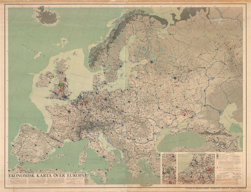
Ekonomisk Karta Över Europa.
$2,500.00
Acquire
- Digital Map Information
- Suitable for large format printing
- DPI: 600
- File Size: 208.81 MB
- File Type: ZIP / TIFF
- ICC color profile embedded
- Delivered instantly via download link
A striking and fascinating 1953 infographic wall map of Europe drawn by the Swedish economic geographer William Frits William-Olsson. Working in the wake of World War II (1939 - 1945), William-Olsson was striving to develop a new symbolic vocabulary for assessing economic growth and development patterns. This expansive pedogeological map covers the entire continent of Europe. Insets in the lower right focus on the dense and highly industrialized Netherlands and English midlands. The map is necessarily large to cover its immense detail and complex iconography. The whole is covered with a complex array of symbols, intended to present a full picture of the European economic situation, as well as illustrate how urban centers inter-related and evolve. (more details)
From the First Modern Atlas.
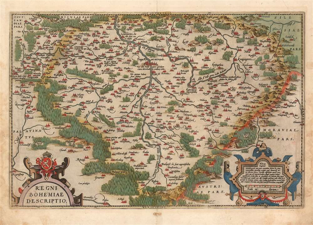
Regni Bohemiae Descriptio.
$750.00
Acquire
- Digital Map Information
- Suitable for large format printing
- Full resolution TIFF file
- ICC color profile embedded
- Delivered instantly via download link
This is Ortelius' 1570 map of Bohemia, in a beautiful, original-color example from the 1587 French edition of Theatrum Orbis Terrarum, the first modern atlas. It is derived from the unobtainable, Leipzig-published, 1568 Johann Criginger (1521 - 1571) map, which was to date the best map of Bohemia available. Like the Criginger, Ortelius' map is oriented to the north, showing the Kingdom of Bohemia surrounded by pictorially-represented forests and forbidding mountains. Cities and towns are pictorially shown to represent their respective sizes. Ortelius' map is embellished with two handsome, strapwork cartouches; the title cartouche is surmounted with the Bohemian coat-of-arms. (more details)
India's railroad network.
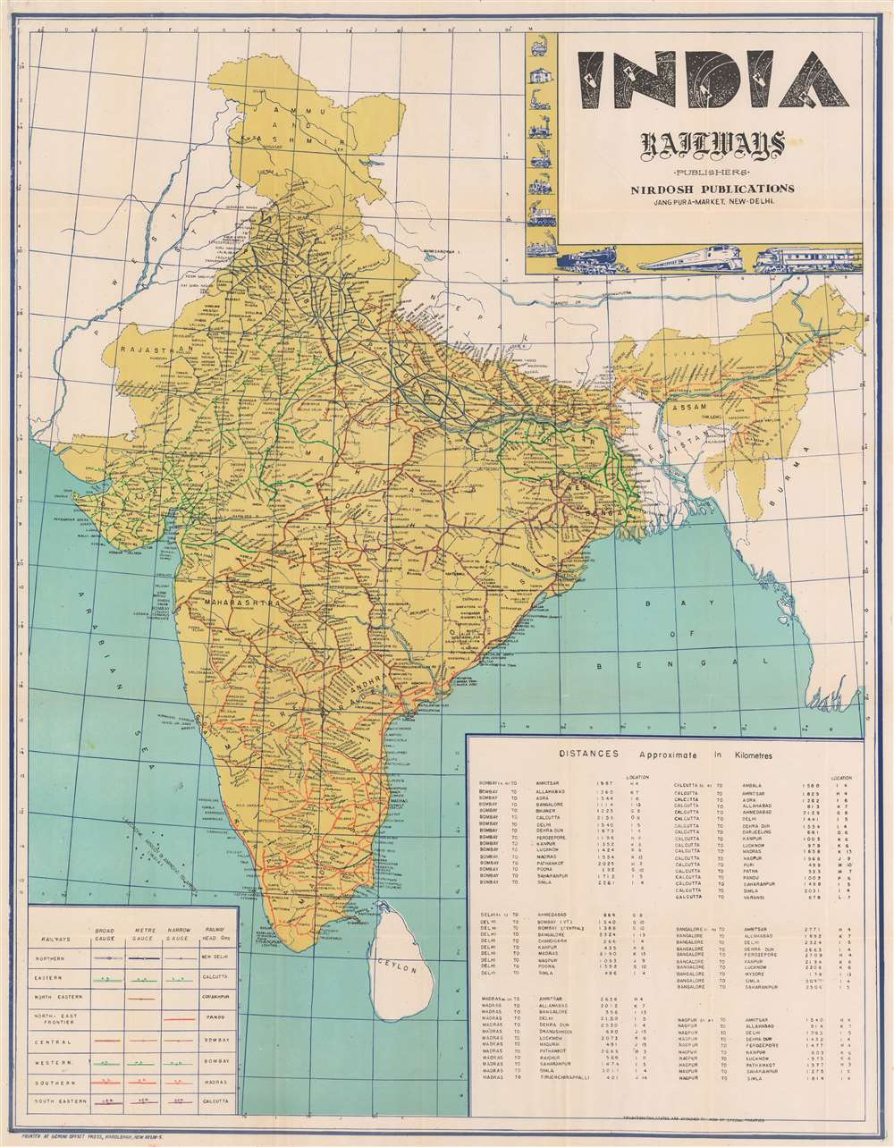
India Railways.
$500.00
Acquire
This is a c. 1960 railroad map of India. Depicting India's railroad network in detail, its eight different railways are differentiated by color and then further divided by track gauge. The routes of the Eastern Railway, Western Railway, Southern Railway, and Southeastern Railway are labeled as well. Cities and towns are labeled along every line and a table providing distances between major cities in kilometers occupies the lower right. A key situated in the lower left explains notations used to differentiate railways and broad-, meter-, and narrow-gauge lines. A decorative title cartouche appears in the upper right bordered by vignettes of historical train engines. (more details)
The Fortification of Paris.
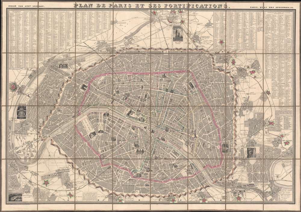
Plan de Paris et ses Fortifications.
$950.00
Acquire
- Digital Map Information
- Suitable for large format printing
- Full resolution TIFF file
- ICC color profile embedded
- Delivered instantly via download link
This is a striking 1844 large-scale July Monarchy (1830 - 1848) map of Paris, France. The map is surrounded by 34 vignette illustrations of important sites - significant as the only edition of this map to feature these. The map predates the Haussmann Renovations (1853 - 1870) but celebrates the 1844 completion of the Thiers Wall and Ring Forts - likely the reason for this deluxe vignette edition. It additionally features profile and vignette illustrations of important sites throughout the map itself. (more details)
Wipe the sweat from your brow, find your way, and enjoy the 1930 Stockholm Exhibition.
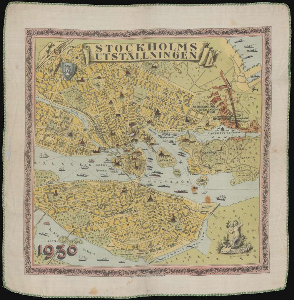
Stockholmsutställningen.
$350.00
Acquire
- Digital Map Information
- Suitable for large format printing
- File Size: 22.29 MB
- File Type: ZIP / TIFF
- ICC color profile embedded
- Delivered instantly via download link
This is a 1930 Max Söderholm silk pictorial tourist hankerchief map of Stockholm, Sweden. Produced for the 1930 Stockholm Exhibition (Stockholmsutställningen in Swedish), lays out the city for visitors. The exhibition is situated along the right border, shaded orange, and labeled with the exhibition's 'Flying V' logo. Profile views of numerous sites around the city highlight places of interest, including the National Museum, the Royal Palace, the Parliament House, the Storkyrkan, and Stockholm City Hall. The unique format, a handkerchief, was more resistant to wear, dampness, and other damage than traditional paper maps. Visitors could wipe the sweat from their brow while navigating the fair! (more details)
Work of the USS Albatross in the Atlantic and Pacific Oceans between 1883 and 1900.
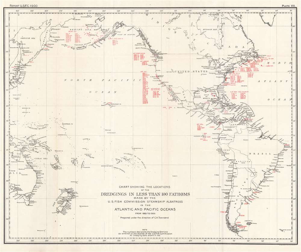
Chart Showing the Locations of the Dredgings in Less Than 100 Fathoms Made by the U.S. Fish Commission Steamship Albatross in the Atlantic and Pacific Oceans from 1883 to 1900.
$250.00
Acquire
- Digital Map Information
- Suitable for large format printing
- File Size: 20.76 MB
- File Type: ZIP / TIFF
- ICC color profile embedded
- Delivered instantly via download link
This is a 1900 C. H. Townsend and U.S. Fish Commission map of Atlantic and Pacific Ocean floor samplings less than 100 fathoms. Red numbers identify these dredging locations and can be correlated with detailed data in USS Albatross archives. Stretching from Japan to the Azores and from the Bering Sea to Cape Horn, dredgings marked were collected by the Albatross between 1883 and 1900. Unlike other maps in this series, dredging locations are marked in red but in many places dredging data is grouped geographically. Each grouping is labeled, including 'Bering Sea', 'Off Cal.', 'Off Washington' 'Off Col[ombia], and G. of Mex. And Vicinity. (more details)
The work of the USS Albatross throughout the Atlantic Ocean and eastern Caribbean Sea on her way to the Pacific.
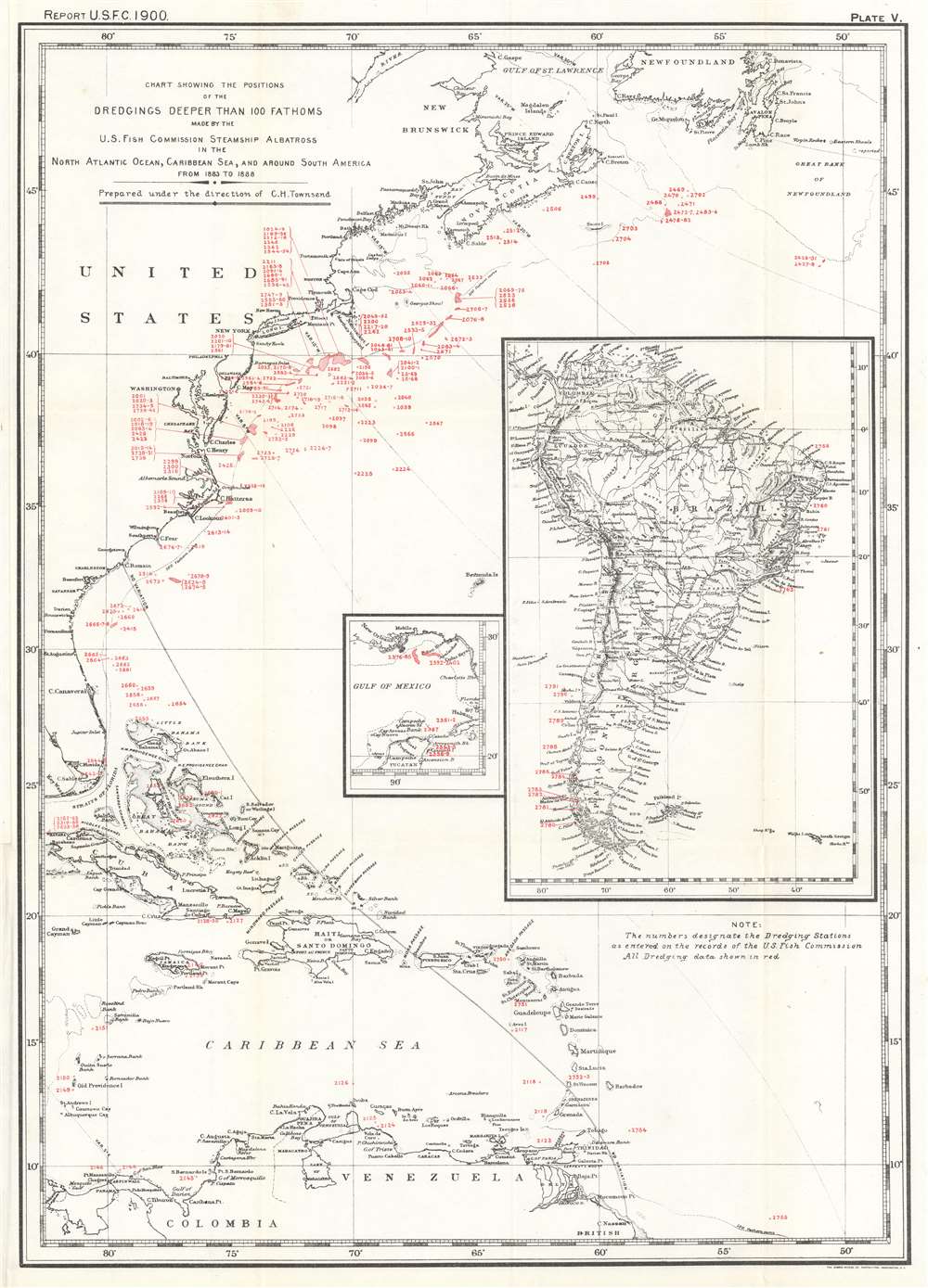
Chart Showing the Positions of the Dredgings Deeper than 100 Fathoms Made by the U.S. Fish Commission Steamship Albatross in the North Atlantic Ocean, Caribbean Sea, and around South America from 1883 to 1888.
$250.00
Acquire
- Digital Map Information
- Suitable for large format printing
- File Size: 15.67 MB
- File Type: ZIP / TIFF
- ICC color profile embedded
- Delivered instantly via download link
This is a 1900 C. H. Townsend and U.S. Fish Commission map of Atlantic Ocean Caribbean Sea floor samplings deeper than 100 fathoms. Red numbers identify these dredging locations and can be correlated with detailed data in USS Albatross archives. Stretching from Gulf of St. Lawrence south to northern South America including the Greater and Lesser Antilles and the Bahamas, dredgings marked were collected by the Albatross between 1883 and 1888. A large inset along the right border illustrates the entirety of South America and notes dredgings taken by the Albatross off the coast of Brazil and Chile. A smaller inset focuses on the Gulf of Mexico from New Orleans along the U.S. Gulf Coast to the Florida Keys and south to the Yucatan, with dredgings noted in the Gulf south of Mobile and around the Yucatan Peninsula. (more details)
Rivers and Villages.
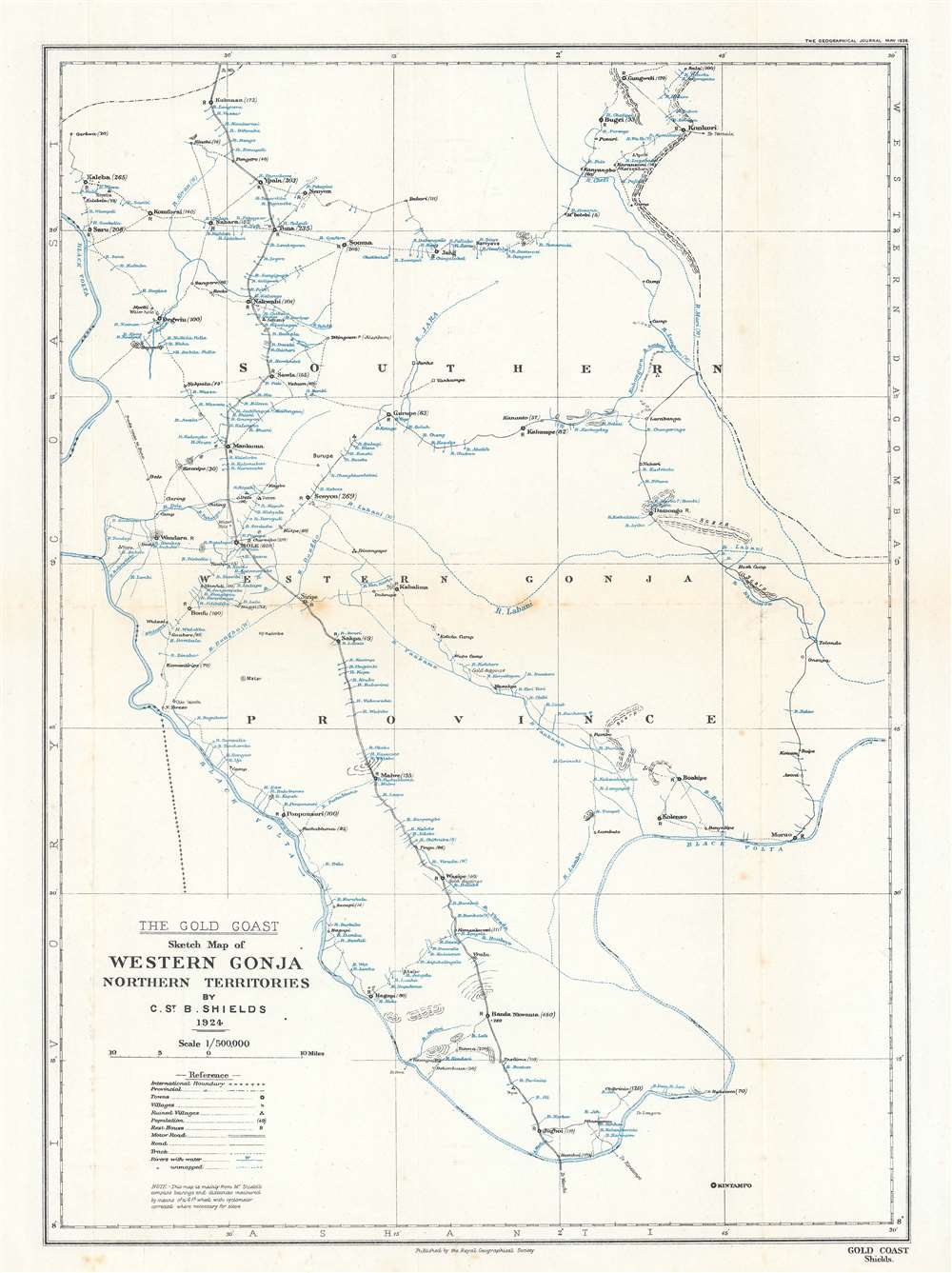
The Gold Coast. Sketch Map of Western Gonja Northern Territories.
$200.00
Acquire
- Digital Map Information
- Suitable for large format printing
- File Size: 4.57 MB
- File Type: ZIP / TIFF
- ICC color profile embedded
- Delivered instantly via download link
This is a 1926 Christopher St. Barbe Shields map of western Gonja Province in the Gold Coast, modern-day western Ghana. The map appears minimalist, with towns and villages noted only along rivers. It otherwise features minimal topography and no substantial detail away from the rivers - reflecting not only the reality of life in the region, but also the level of penetration then available to colonial administrators. Today, the Black Volta River serves as the border between Ghana and the Cote d'Ivoire. Here, that international border is marked by small black crosses and separates Gold Coast from the French colony of Cote d'Ivoire. (more details)
The great age of Radio.
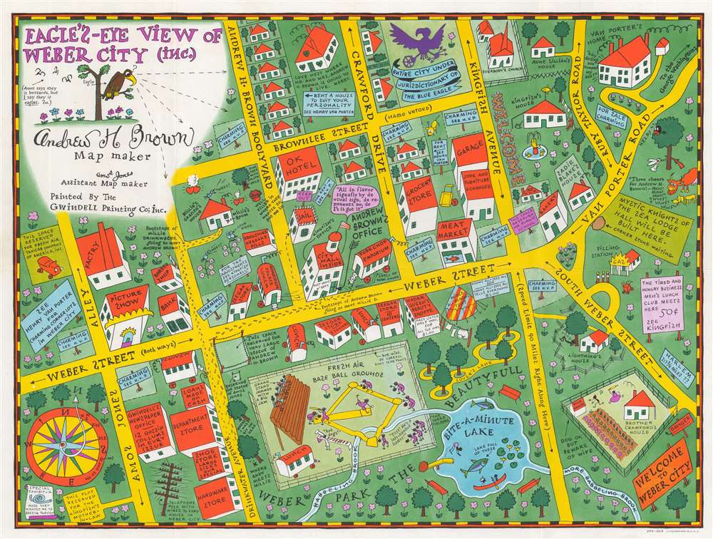
Eagle's Eye View of Weber City.
$150.00
Acquire
- Digital Map Information
- Suitable for large format printing
- File Size: 20.03 MB
- File Type: ZIP / TIFF
- ICC color profile embedded
- Delivered instantly via download link
This is a 1935 Amos 'n' Andy map of Weber City, a high-class housing development created for the Amos 'n' Andy radio show. All fictional, coverage extends from Amos Jones Alley to Van Porter Road and from the 'love nest were Mr. and Mrs. Andrew H. Brown is going to live' and 'Everybody's Church' to Weber Park and 'Bite-a-Minute Lake'. A comical look at a fictional town, Weber City evidently played a role in, or was the setting for, at least one Amos 'n' Andy radio show. (more details)
Russian mapping of their southeastern frontier.
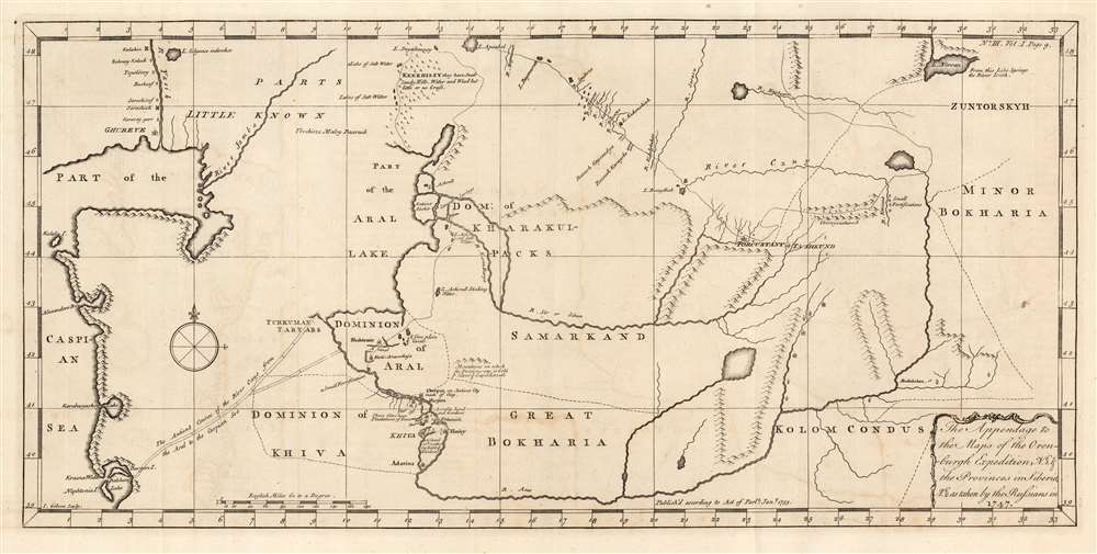
The Appendage to the Maps of the Orenburg Expedition, No. 1. and the Provinces in Siberia, No. 2. As taken by the Russians in 1747.
$650.00
Acquire
- Digital Map Information
- Suitable for large format printing
- Full resolution TIFF file
- ICC color profile embedded
- Delivered instantly via download link
This fascinating map of modern-day Turkmenistan, Uzbekistan and Tajikistan, engraved by John Gibson in 1753, was based on Russian maps Jonas Hanway included in his An Historical Account of the British Trade Over the Caspian Sea. Hanway supplemented the results of his own travels to the Caspian with a multiplicity of travelers' journals and the maps of other explorers, compiling an exhaustive collection of the most up to date geographical sources for this area, which remained one of the most obscure regions in the world. The map is centered on the Silk Route capitals of Samarkand and Bukhara, east of the Aral Sea. The cities of Tashkent and Badakshan are shown; the northeastern Caspian Sea and the lower part of the Ural River appears at the west; the eastern shore of the endoheiric Aral Sea is shown as well, but the western shore and indeed all the land between the Caspian and the Aral Sea is obscure. (The nomadic Tatars occupying that region were notoriously ill disposed towards travelers.) The map excels in detailing the regions south and east of the Aral, which include cities having 'plantations of trees' and 'mountains on which the Persians say is Gold and Silver and Lapis Lazuli.' (more details)
Oceanographic research in the Pacific.

Chart Showing the Positions of the Dredgings Deeper than 100 Fathoms Made by the U.S. Fish Commission Steamship Albatross in the Pacific Ocean and Bering Sea from 1888 to 1900.
$400.00
Acquire
- Digital Map Information
- Suitable for large format printing
- File Size: 28.4 MB
- File Type: ZIP / TIFF
- ICC color profile embedded
- Delivered instantly via download link
This is a 1900 C. H. Townsend and U.S. Fish Commission map of Pacific Ocean floor samplings deeper than 100 fathoms. Red numbers identify these dredging locations and can be correlated with detailed data in USS Albatross archives. Stretching from Japan to North and South America and from the Bering Sea to Australia, Micronesia, and Polynesia, dredgings marked were collected by the Albatross between 1888 and 1900. (more details)
Pacific Electric Railway routes in Los Angeles.
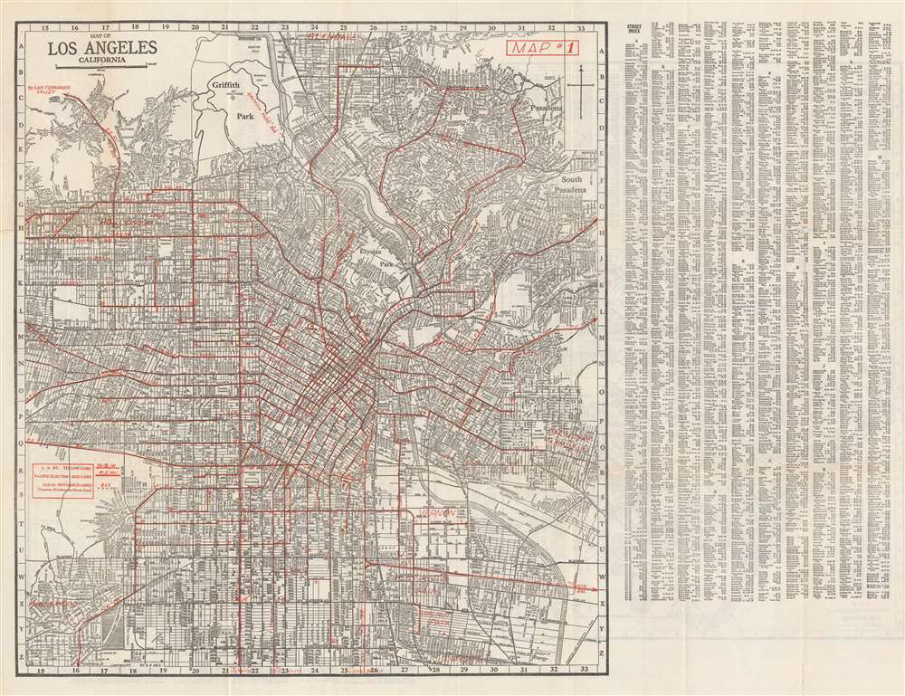
Map of Los Angeles California.
$350.00
Acquire
- Digital Map Information
- Suitable for large format printing
- Full resolution TIFF file
- ICC color profile embedded
- Delivered instantly via download link
This is a c. 1937 Ernest F. Hill city plan or map of Los Angeles, California, published during the Great Depression. Mass transit takes center stage, with red overprinting highlighting railway and bus routes, including those of the Pacific Electric Railway. A key situated on the left side informs the viewer that the L. A. Railway uses yellow cars and the Pacific Electric Railway ran red cars. Red overprinting labels suburbs as well, including Glendale, Belvedere Gardens, Vernon, Huntington Park, Inglewood, and Hollywood. Innumerable streets are correlated to an index printed at right. A map of the western portion of Los Angeles (complete with a street index) and a map of Long Beach appear on on the verso. (more details)
The Far East.
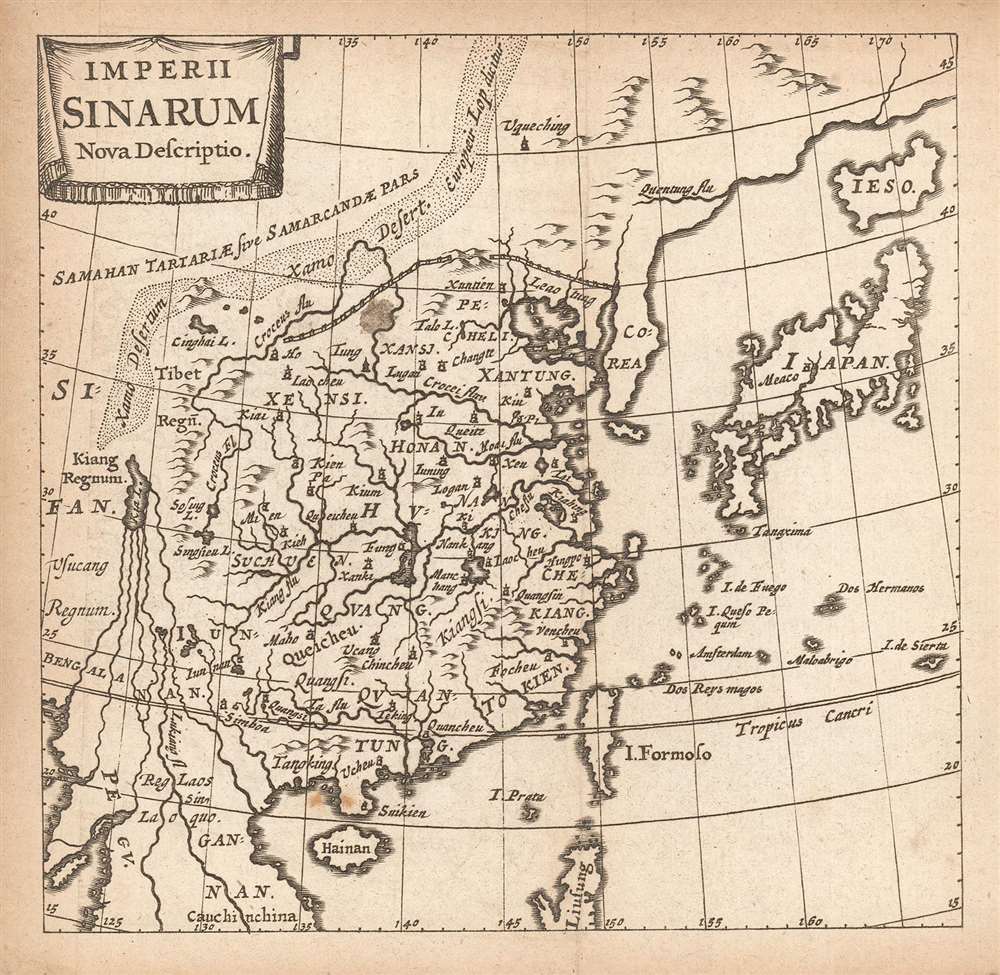
Imperii Sinarum Nova Descriptio.
$250.00
Acquire
- Digital Map Information
- Suitable for large format printing
- Full resolution TIFF file
- ICC color profile embedded
- Delivered instantly via download link
This is a finely-engraved miniature map of China, Korea and Japan, printed in a 1661 Elzevir edition of Philipp Cluver's introduction to geography. Cluver's work appeared in editions produced by many different houses, and with maps of wildly differing characteristics. (more details)
Coastal Brazil.
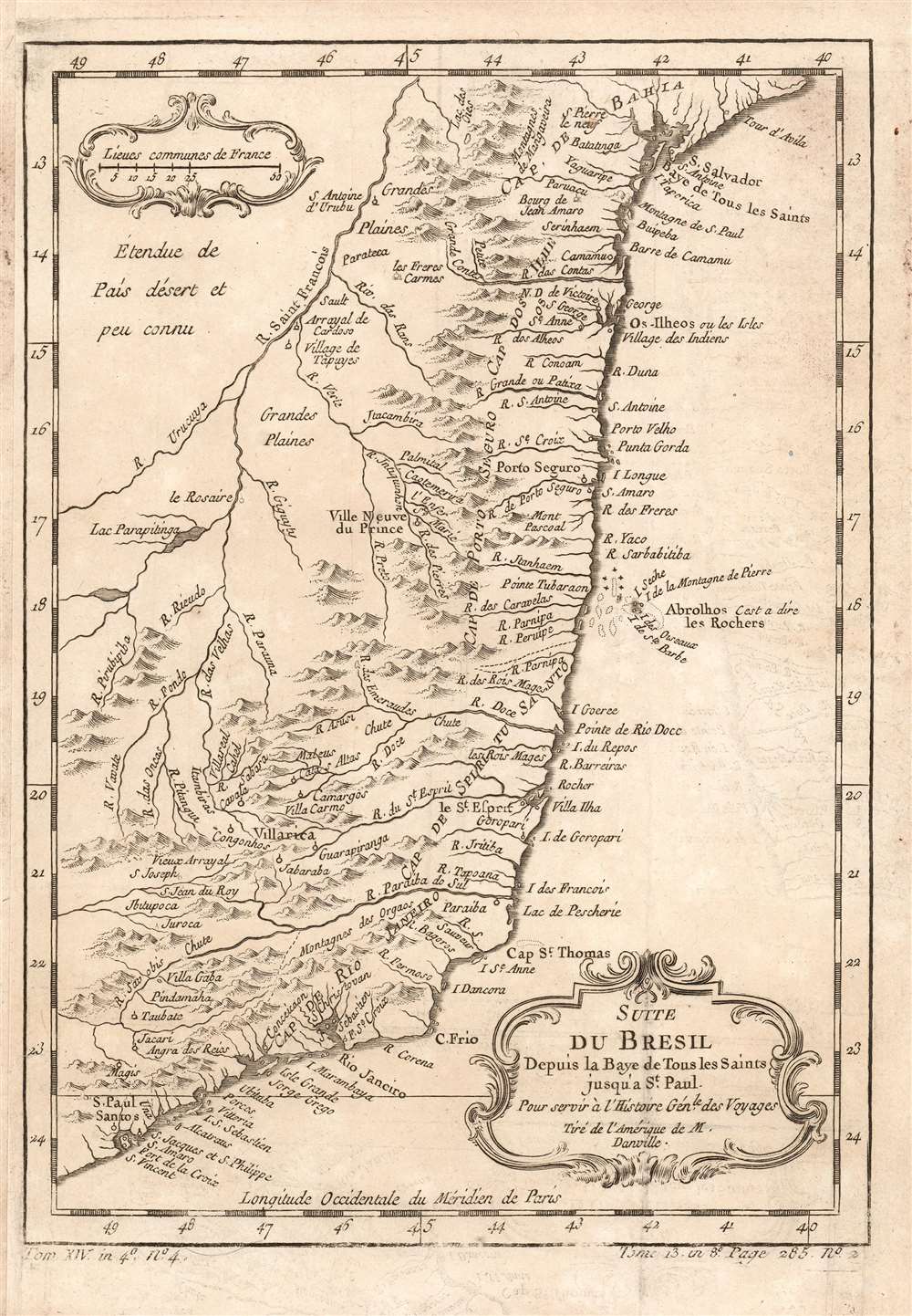
Suite du Bresil Depuis la Baye de Tous les Saints jusqu' a St. Paul. Pour servir à l'Histoire Génle. des Voyages Tiré de l'Amerique de M. Danville.
$150.00
Acquire
- Digital Map Information
- Suitable for large format printing
- Full resolution TIFF file
- ICC color profile embedded
- Delivered instantly via download link
This is a 1780 map of coastal Brazil, showing the Captaincies of Bahia, Ilheús, Porto Seguro, Espirito Santo, Rio de Janeiro and part of Sao Paolo. These were coastal colonies, and the map's detail does not extend beyond the Rio São Francisco, apart from the descriptive text Étendue de País désert et peu connu (This extent of the country is deserted and little known.) Although composed and engraved by Nicolas Bellin, the cartography is drawn from D'Anville's 1748 Amerique Meridionale, which still represented the most up-to-date cartography in 1753, when this map was engraved. (more details)
Britannia Propositions Persia With Intercourse.
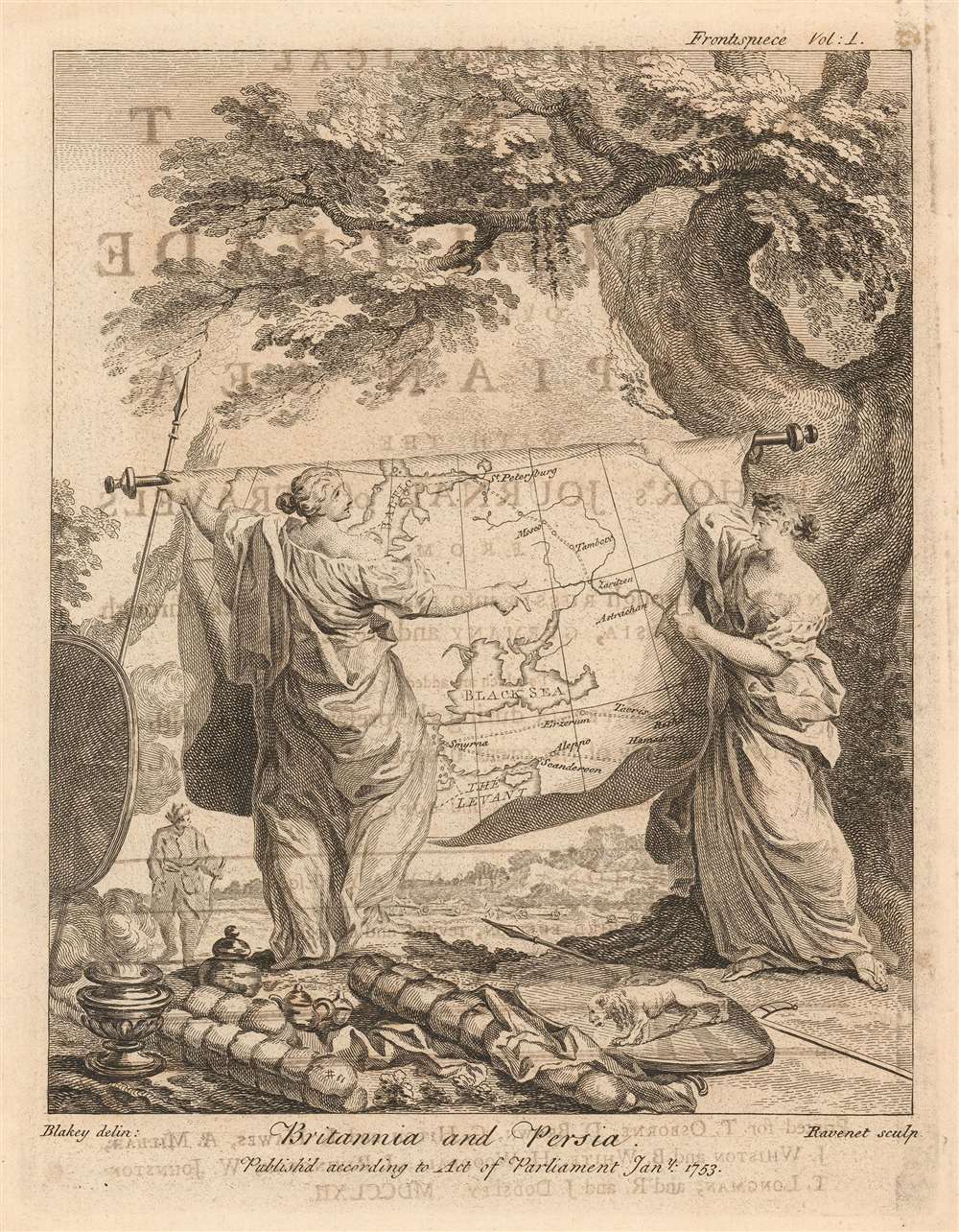
Britannia and Persia.
$150.00
Acquire
- Digital Map Information
- Suitable for large format printing
- Full resolution TIFF file
- ICC color profile embedded
- Delivered instantly via download link
This attractive, charming engraving was the frontispiece to Jonas Hanway's An Historical Account of the British Trade over the Caspian Sea an account of his journey from Russia to Persia and an exhaustive collection of the journals of other travelers to the region. The book supported British efforts to establish trade with the Persian Empire and this frontispiece visually sets the tone of the work. (more details)
British support for Japan over Russia in 1904.
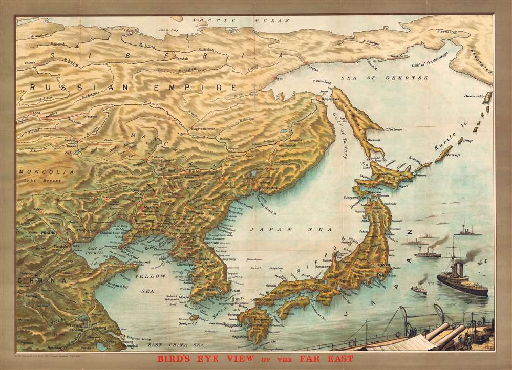
Bird's Eye View of the Far East.
$2,250.00
Acquire
- Digital Map Information
- Suitable for large format printing
- File Size: 40.64 MB
- File Type: ZIP / TIFF
- ICC color profile embedded
- Delivered instantly via download link
This is a finely executed George Washington Bacon and NIC's chromolithograph bird's-eye view of the theater of the Russo-Japanese War (1904 - 1905). Presented as a Bird's eye view and centered on Vladivostok, the view covers from the Arctic to Shanghai and from China to Kamchatka. The focus is on Japan, Korea, and Manchuria, the seat of the Russo-Japanese War. In the lower right, Japanese gunships and battleships prepare for war. This view and map was issued early in the war, just following the Japanese Imperial Navy attack on the Russian Far East Fleet at Port Arthur (February 8, 1904). (more details)
Charting an 1867 Spanish voyage around the Caribbean.
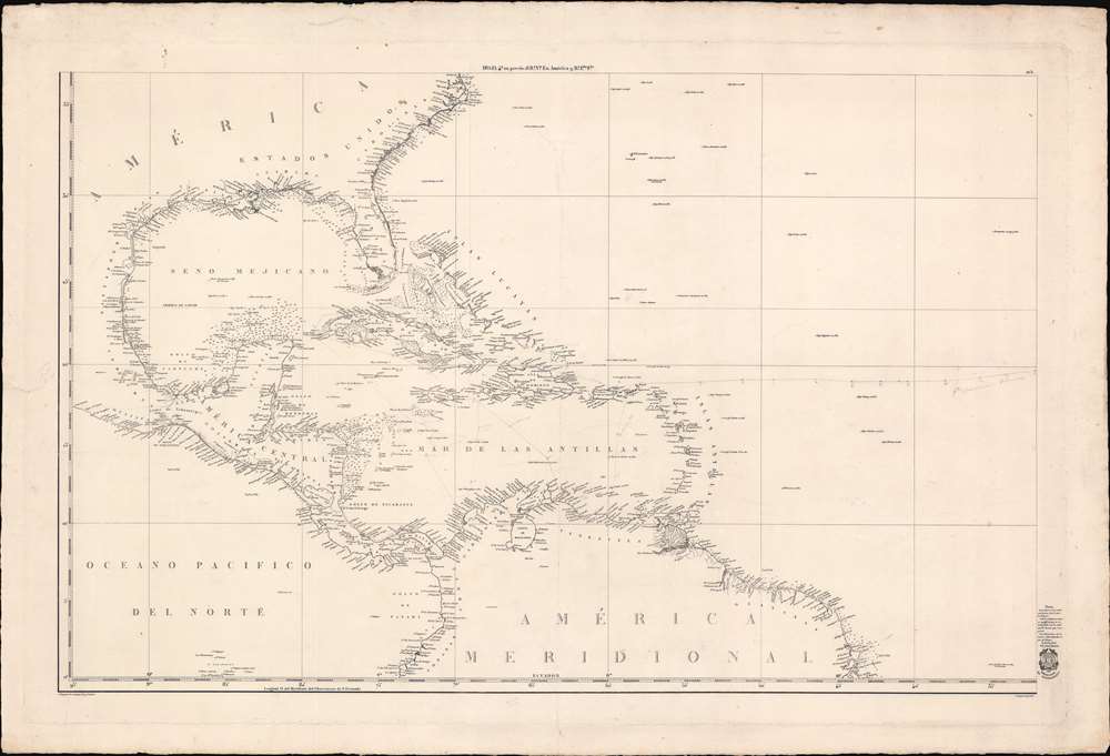
[West Indies, Florida, Gulf of Mexico]
$1,750.00
Acquire
- Digital Map Information
- Suitable for large format printing
- Full resolution TIFF file
- ICC color profile embedded
- Delivered instantly via download link
This is a scarce c. 1838 Direccion Hidrografia nautical chart or maritime map of the West Indies, Florida, the Gulf of Mexico, and the Caribbean. Centered on Hispaniola, the map covers from Cape Hatteras, North Carolina, to the Equator, and from the Pacific coast of Central America to the mouth of the Amazon River. Manuscript notates throughout follow the 1867 voyage of a Spanish ship. (more details)
Reimagining Race at the Field Museum.
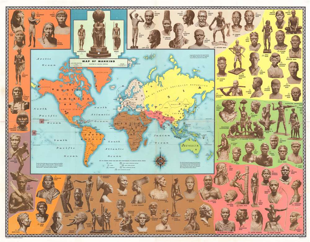
Map of Mankind.
$1,000.00
Acquire
- Digital Map Information
- Suitable for large format printing
- Full resolution TIFF file
- ICC color profile embedded
- Delivered instantly via download link
This is a 1946 Malvina Hoffman and C. S. Hammond map of the world illustrating the 'races of mankind'. The map of the world is surrounded by seventy-seven of Hoffman's bronzes from her Races of Mankind series, created for Chicago's Field Museum. Colors highlight different geographical regions and group the sculptures, associating race with geography. (more details)
A most significant Primary...
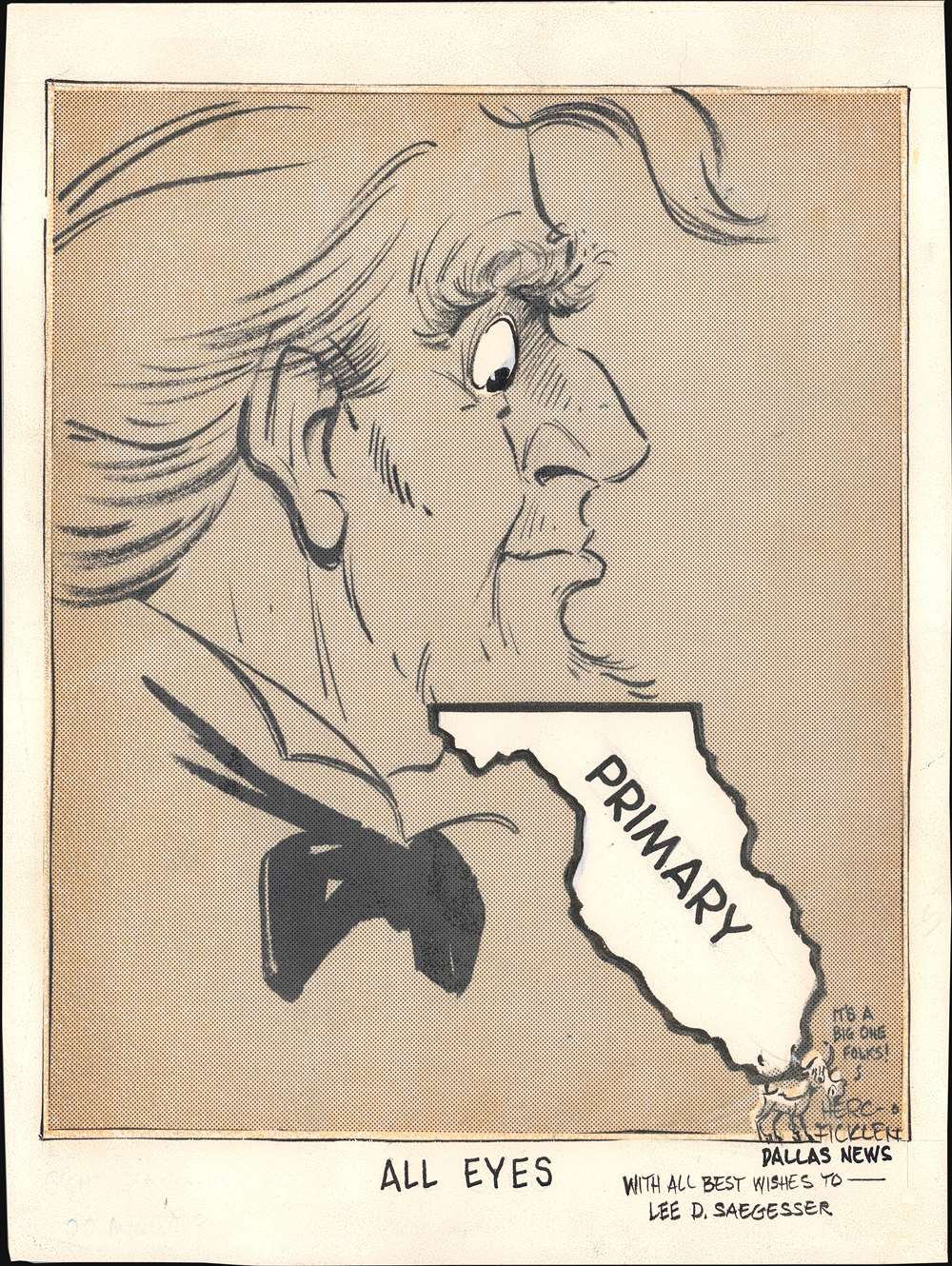
All Eyes.
$950.00
Acquire
An original manuscript storyboard political cartoon by Jack Howells 'Herc' Ficklen satirizing national interest in the 1972 Democratic National Convention, held in Miami, Florida. The cartoon depicts Uncle Sam, representing the United States, looking downward at his beard - Florida. The cartoon features 'Little Longhorn', Ficklen's signature 'dingbat' introduced in 1971. The cartoon, entitled 'All Eyes' ran in the Dallas News in July of 1972. The carton bears a dedicated to Lee D. Saegesser. The famous NASA archivist and historian, suggesting it was presented to him as a gift from Ficklen, possibly due to its Florida focus. (more details)