Most recently added antique and rare maps as of 7/2/2025.
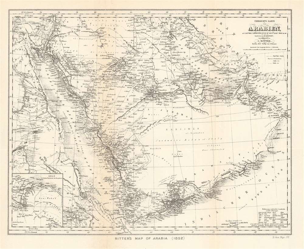
A rare map of the Arabian Peninsula published with a history of Western knowledge of the region.
$250.00
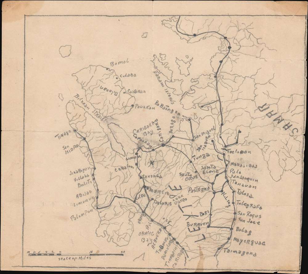
A one-of-a-kind manuscript road map of Leyte during the Battle of the Philippines.
$950.00
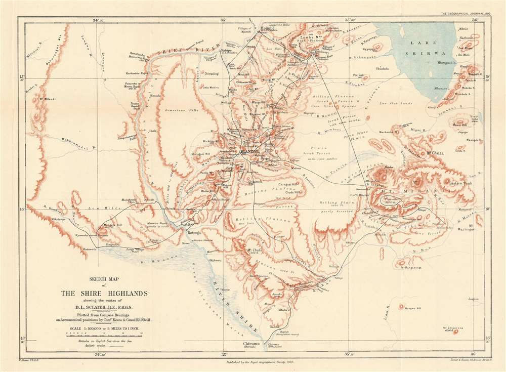
Focuses on the Shire Highlands, a region in Central Africa claimed by both the British and Portuguese.
$450.00
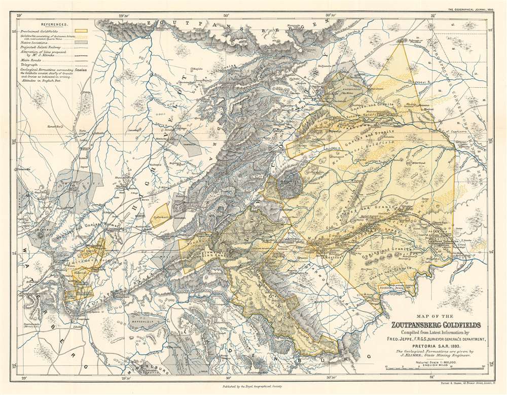
Details gold fields in northeastern modern-day South Africa.
$300.00
The Charting of a Key English Port of Call in the Age of Cook.
$250.00
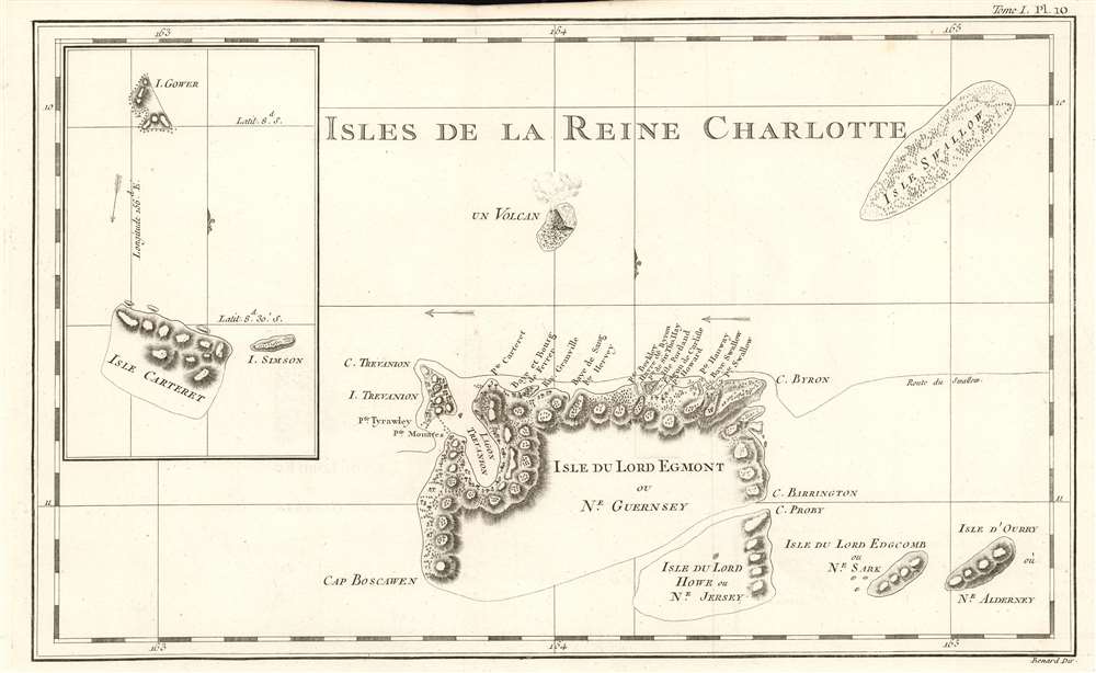
The Solomon Islands, Rediscovered and Renamed by Carteret
$200.00
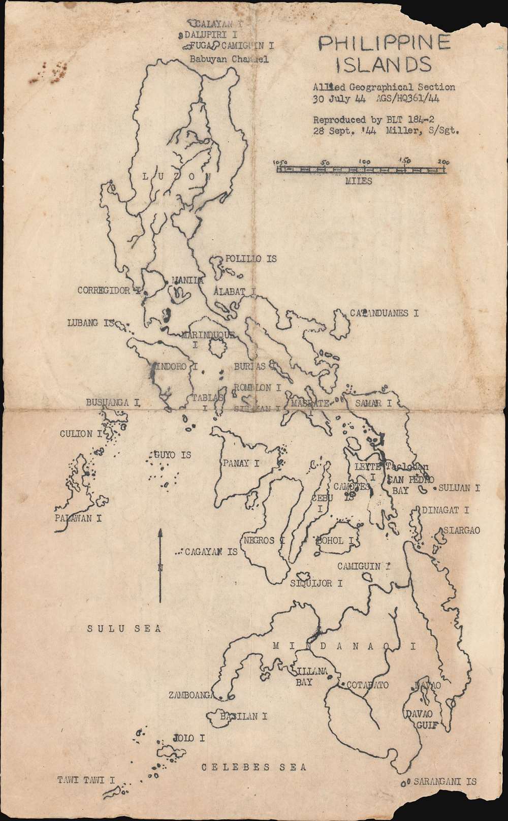
Used by Battalion Landing Team 184-2 in preparation for the Battle of Leyte in the Philippines.
$1,500.00
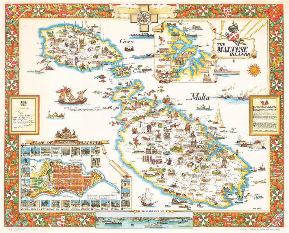
A fantastic pictorial map of Malta that combines its popularity as a tourist destination with elements of its incredible history.
$500.00
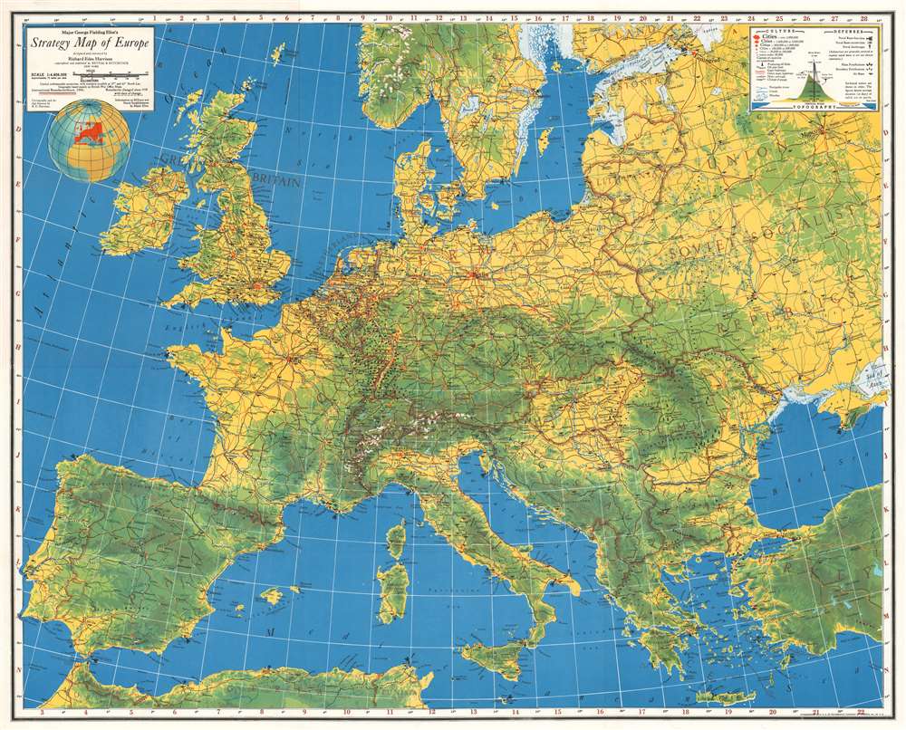
Focuses on the military situation in Europe between the beginning of World War II and the German invasion of France and the Low Countries.
$400.00
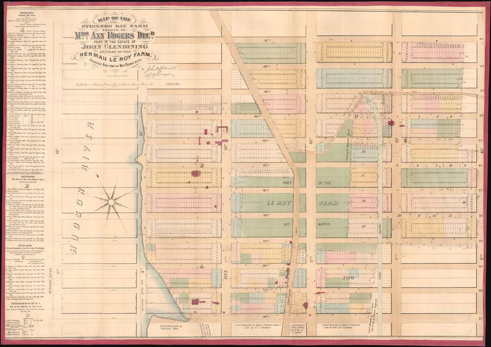
One of the earliest speciic maps to detail Manhattan Valley and the northern part of the Upper West Side.
$3,800.00
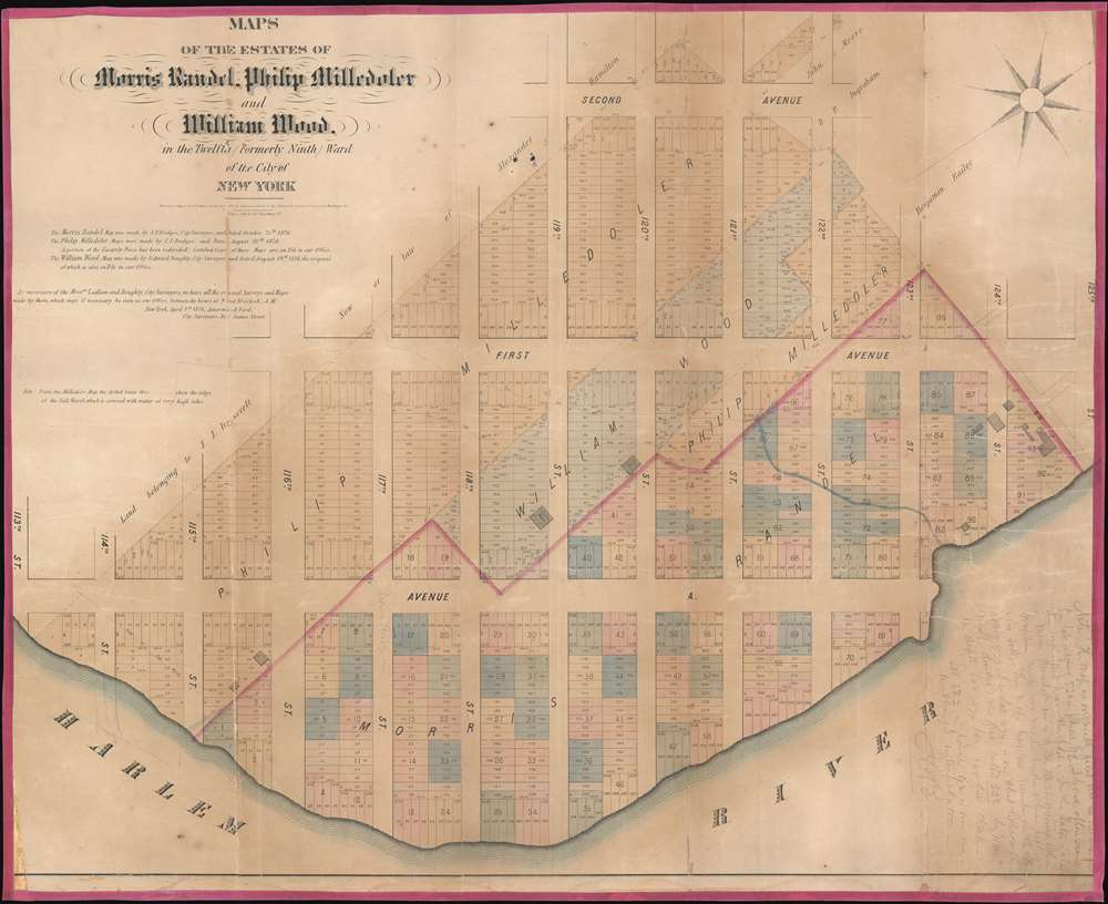
Rare cadestral map of New York City's Spanish Harlem.
$1,500.00
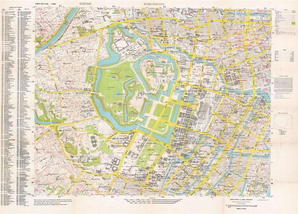
A map of central Tokyo created to help orient Allied personnel during the Occupation of Japan.
$1,800.00
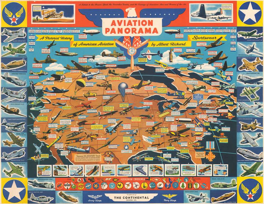
Promotes American aviation advancements and accomplishments in both the military and civilian spheres at the height of World War II.
$1,200.00
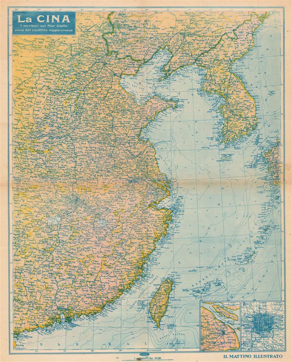
An Italian propaganda map highlighting the Asian situation during the Second Sino-Japanese War.
$900.00
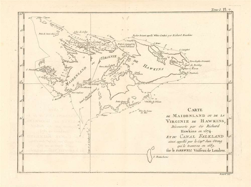
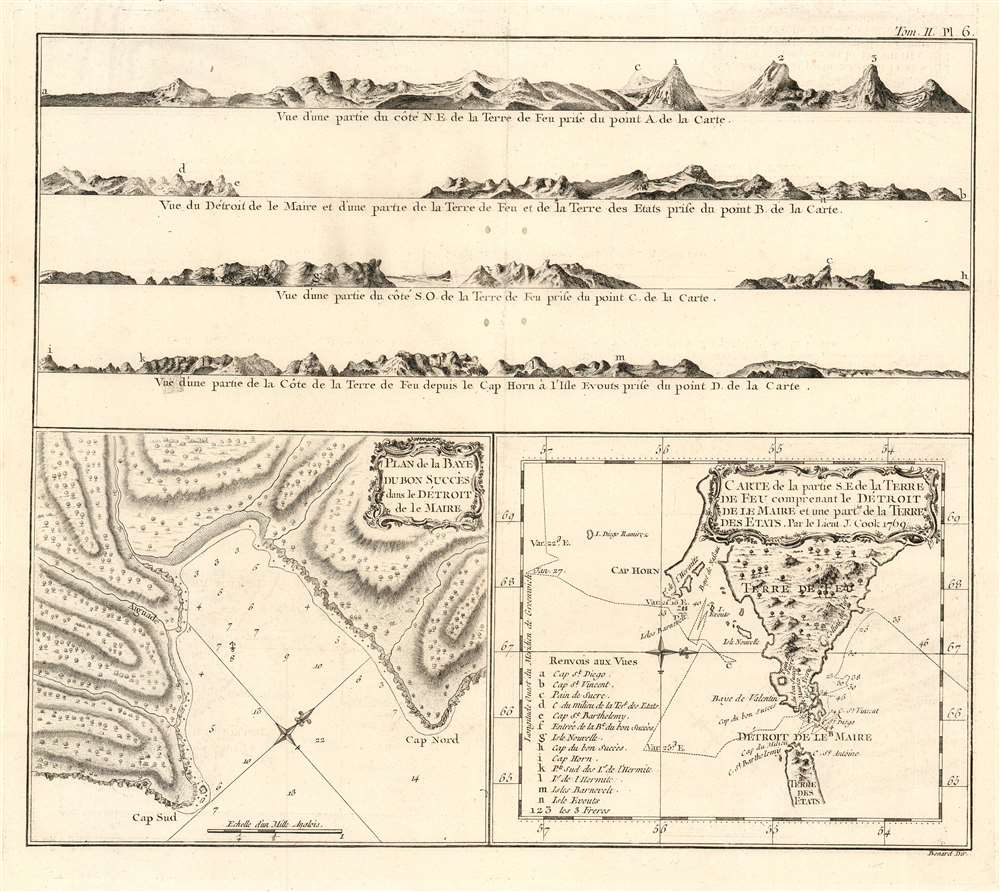
A Beautifully Engraved Record of Cook's 1769 Passage around Tierra del Fuego.
$950.00
The Most Distant island Mapped in Ptolemy's Era
$400.00
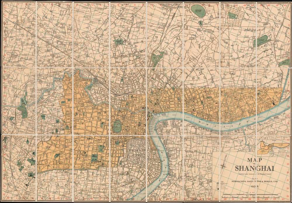
Issued in the final days of Old Shangai just after the January 28 Incident or Shanghai Incident.
$9,000.00
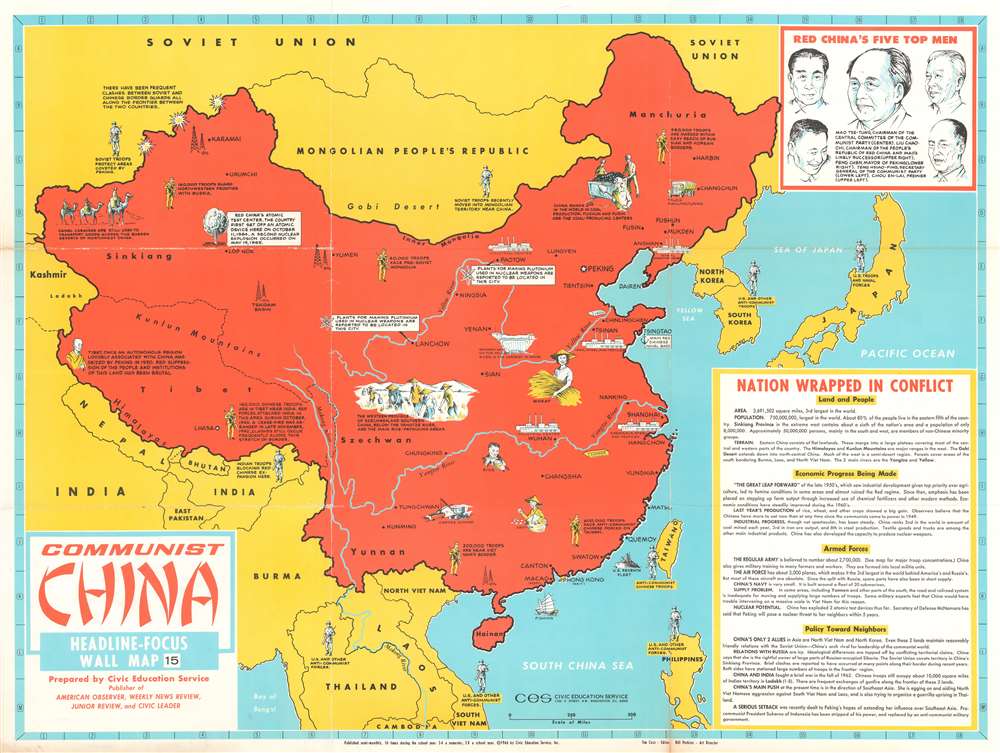
Presents Communist China to 1960s American schoolchildren.
$400.00
A rare piece of history that harkens back to the rest and relaxation periods offered to Allied troops serving in the Pacific during World War II.
$400.00
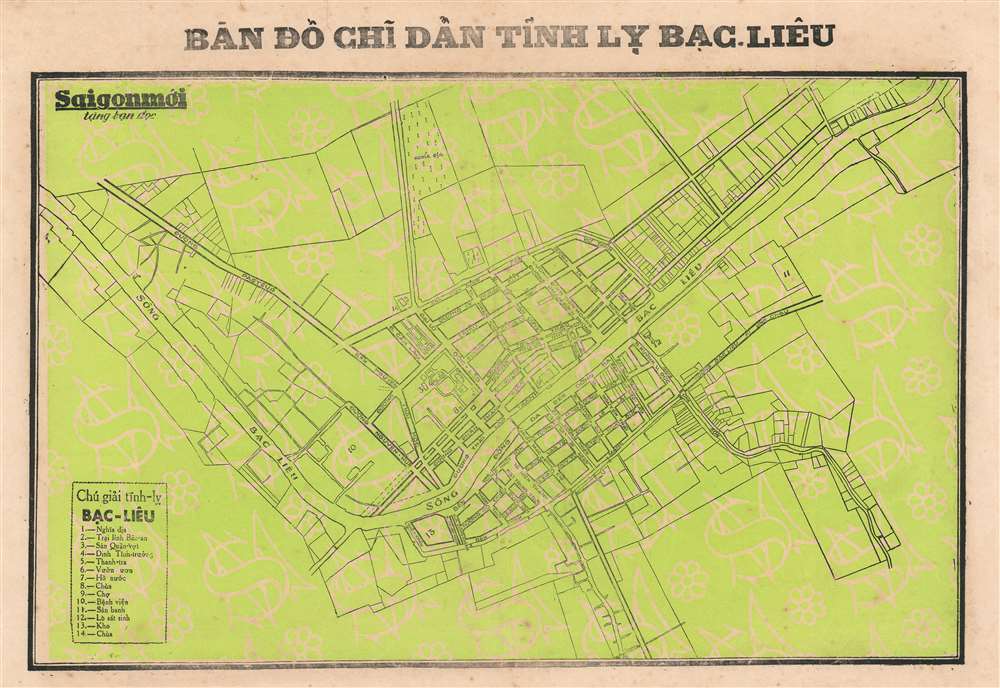
Details a provincial capital just south of the Mekong Delta.
$250.00

