
Logerot, Auguste (sold)

Auguste Logerot (fl. c. 1839 - c. 1880) was a French map and general interest publisher active throughout the mid to late 19th century. A. Logerot worked with other French publishers, cartographers and engravers of the period including Fremin, Dufour, Dyonnet, and Vuillemin. He published a large corpus of map and geographical atlases, though few of his map represented unique or exceptionally interesting work. This exception are his wonderful jigsaw puzzle maps - a style popular in 19th century France. Jigsaw puzzle maps are a kind of educational map printed on board and carved up in puzzle format. Logerot's imprint is frequently misprinted as Lagerot or Logeret. Logerot shared offices with several other publishers, printers and engravers at Quai des Augustins 55, Paris. Little else is known of Logerot's life and work.
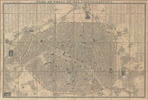
Plan de Paris et ses Fortifications.
sold
- Digital Map Information
- Suitable for large format printing
- DPI: 300
- File Size: 56.55 MB
- File Type: ZIP / TIFF
- ICC color profile embedded
- Delivered instantly via download link
This is an extremely attractive 1843 folding map of Paris and its fortifications by A. Logerot. The map covers the embastilled center of Paris as well as the immediate environs including the 14 ring forts. It also includes some of the surrounding territory ... (more details)
The Fortification of Paris.
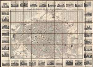
Plan de Paris et ses Fortifications.
sold
- Digital Map Information
- Suitable for large format printing
- DPI: 600
- File Size: 118.2 MB
- File Type: ZIP / TIFF
- ICC color profile embedded
- Delivered instantly via download link
This is a striking 1844 large-scale July Monarchy (1830 - 1848) map of Paris, France. The map is surrounded by 34 vignette illustrations of important sites - significant as the only edition of this map to feature these. The map predates the Haussmann Renovations (1853 - 1870) but celebrates the 1844 completion of the Thiers Wall and Ring Forts - likely the reason for this deluxe vingette edition. It additionally features profile and vignette illustrations of important sites throughout the map itself. (more details)
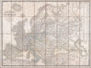
Carte Generale des routes de poste de L'Europe Dressee d'apres les itineraires les plus nouveaux de chaque etats.
sold
- Digital Map Information
- Suitable for large format printing
- DPI: 300
- File Size: 39.85 MB
- File Type: ZIP / TIFF
- ICC color profile embedded
- Delivered instantly via download link
An extremely scarce 1844 postal map of Europe in case or pocket format by the French map publishers A. Logerot and A. R. Fremin. Details the whole of Europe noting thousands of towns, cities, and villages as well as the roads that connect them. Shows ... (more details)
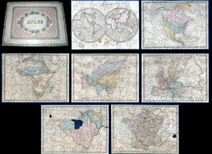
A very attractive an unusual c. 1850 jigsaw puzzle atlas published by Auguste Logerot. Consists a custom box of seven interesting jigsaw puzzle maps: the World, North America, South America, Europe, Asia, Africa and France. Each map is mounted on a ... (more details)
Republic of Texas and the Oregon Question.
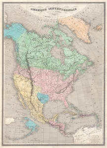
Amerique Septentrionale.
sold
- Digital Map Information
- Suitable for large format printing
- DPI: 600
- File Size: 74.99 MB
- File Type: ZIP / TIFF
- ICC color profile embedded
- Delivered instantly via download link
This is the 1845 Monin Map of North America highlighted the Republic of Texas and the Oregon Question. It highlights many of the most pressing political and international topics of the time: recognition of the Republic of Texas, the Oregon Question, and the westward expansion of the United States, all on the eve of the Mexican-American War (1846 - 1848). (more details)
Illustrates the Palace of Versailles and its magnificent gardens.
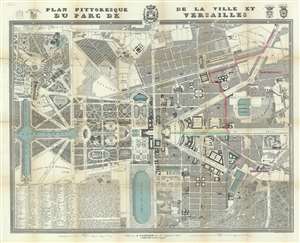
Plan Pittoresque de la Ville et du Parc du Versailles.
sold
- Digital Map Information
- Suitable for large format printing
- DPI: 600
- File Size: 59.91 MB
- File Type: ZIP / TIFF
- ICC color profile embedded
- Delivered instantly via download link
This is an 1854 Auguste Logerot city map of plan of Versailles, France. The map depicts the region from the Grand Trianon to the Butte de Montbauron and from the Boulevard St. Antoine to the Bois de Satory. Highly detailed, myriad locations throughout are labeled. The Gardens of Versailles are illustrated in detail and identifies the paths, pools, and fountains, as well as the Grand and Petit Trianon. Parts of the palace are also labeled, although in not as much detail. Both the Senate and the National Museum are identified as occupying parts of the chateau itself. Outside the Domain of Versailles, the city is also shown in some detail, labeling numerous buildings, including the prefecture, the city hall, the hospital, and the market. The view of Versailles from the Place d'Armes is illustrated in profile, as is the Church of Notre-Dame and the train station that greets visitors from Paris. An index of locations throughout the map is situated in the lower left corner and lists streets, boulevards, and squares, among others. (more details)
Shows Haussmann's renovations in manuscript.
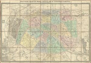
Nouveau Plan de Paris Divise en 20 Arrondissements Dans un rayon de 10 kilometres.
sold
- Digital Map Information
- Suitable for large format printing
- File Size: 55.95 MB
- File Type: ZIP / TIFF
- ICC color profile embedded
- Delivered instantly via download link
This is a large 1860 pocket map of Paris by A. Logerot. It covers the embastilled center of Paris as well as its immediate vicinity, including the Bois de Boulogne and Bois de Vincennes. Fine detail is present throughout the map, with important ... (more details)
One of the most appealing tourist view maps of Paris to appear in the mid-19th century.
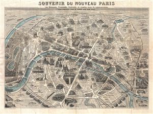
Souvenir du Nouveau Paris ses Monuments Promenades Boulevards et grandes Voies de Communications.
sold
- Digital Map Information
- Suitable for large format printing
- File Size: 18.36 MB
- File Type: ZIP / TIFF
- ICC color profile embedded
- Delivered instantly via download link
An exceptional 1867 monumental map and view of Paris, France. Drawn by Henri Guesnu, this map, as the title suggests, is a map of the 'New Paris,' as redesigned and rebuilt under Napoleon III by Baron Geroges-eugene Haussmann. Known in French ... (more details)
Shows Haussmann's modernization of Paris.
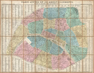
Paris Actuel en 20 Arrondissements dan un rayon de 7 kilometres.
sold
- Digital Map Information
- Suitable for large format printing
- File Size: 32.98 MB
- File Type: ZIP / TIFF
- ICC color profile embedded
- Delivered instantly via download link
A stunningly folding map of Paris, France, dating to 1867. Logerot drew this map to illustrate Napoleon III and Georges-Eugène Haussmann's revolutionary modernization of Paris. Shows the 1860 repartitioning of the arrondissement system into ... (more details)
Shows Haussmann's renovations in manuscript.
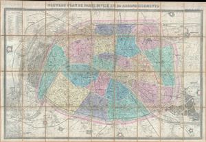
Nouveau Plan de Paris Divise en 20 Arrondissements Dans un rayon de 10 kilometres.
sold
- Digital Map Information
- Suitable for large format printing
- File Size: 49.81 MB
- File Type: ZIP / TIFF
- ICC color profile embedded
- Delivered instantly via download link
This is a large 1869 pocket map of Paris by A. Logerot. It covers the walled center of Paris as well as its immediate vicinity, including the Bois de Boulogne and Bois de Vincennes. Fine detail is present throughout the map, with important ... (more details)
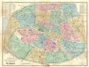
Le Nouveau Guide de L'Etranger dans les 20 Arrondissements De Paris.
sold
- Digital Map Information
- Suitable for large format printing
- File Size: 26.96 MB
- File Type: ZIP / TIFF
- ICC color profile embedded
- Delivered instantly via download link
This is an extremely attractive 1873 map of Paris, France by A. Logerot. Centered on the Seine, this map covers central Paris as contained by the Thiers Wall. Reflects the transformation and modernization of Paris under Napoleon III and ... (more details)
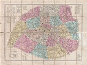
Le Nouveau Guide de l'Etranger Dans les 20 Arrondissements de Paris.
sold
- Digital Map Information
- Suitable for large format printing
- File Size: 29.99 MB
- File Type: ZIP / TIFF
- ICC color profile embedded
- Delivered instantly via download link
This is an extremely attractive 1878 tourist pocket map of Paris, France by A. Logerot. Centered on the Seine, this map covers central Paris as contained by the Thiers Wall. Reflects the transformation and modernization of Paris under ... (more details)
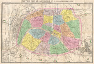
Nouveau Plan de Paris Divise en 20 Arrondissements Dans un rayon de 10 kilometres.
sold
- Digital Map Information
- Suitable for large format printing
- File Size: 50.89 MB
- File Type: ZIP / TIFF
- ICC color profile embedded
- Delivered instantly via download link
An extremely large 1878 pocket of Paris by A. Logerot. Covers the walled center of Paris as well as its immediate vicinity, including the Bois de Boulogne and Bois de Vincennes. All streets and many important buildings are noted ... (more details)
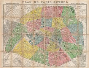
Plan de Paris Actuel 1890.
sold
- Digital Map Information
- Suitable for large format printing
- File Size: 31.99 MB
- File Type: ZIP / TIFF
- ICC color profile embedded
- Delivered instantly via download link
This is an extremely attractive 1890 tourist pocket map of Paris, France by Maison Logerot and J. Gaultier Sr. Centered on the Seine, this map covers embastilled Paris as contained by the Thiers Wall as well as its immediate ... (more details)