
NEW ACQUISITIONS
Foregrounding the Newly Recognized United Provinces.
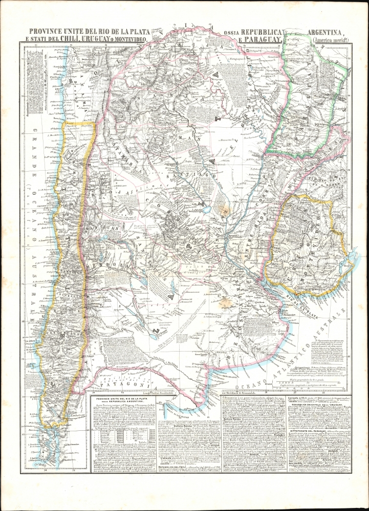
Provincie Unite del Rio de la Plata, Argentina, Chili, Uruguay, e Paraguay.
$550.00
Acquire
- Digital Map Information
- Suitable for large format printing
- File Size: 28.46 MB
- File Type: ZIP / TIFF
- ICC color profile embedded
- Delivered instantly via download link
This is an 1856 Benedetto Marzolla map focusing on the United Provinces of the Rio de la Plata: this included much of Chile, Uruguay, and Paraguay, as well as parts of Brazil and Bolivia. The map is characteristic of Marzolla's work in its abundant notation. (more details)
California, the Empire of Enrichment.
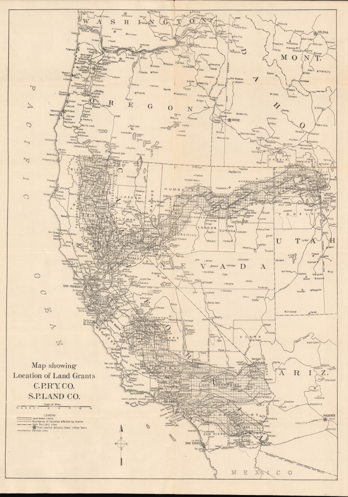
Map showing Location of Land Grants C.P.R'Y.CO. S.P.Land CO. / California, Nevada and Utah for farming, ranching, fruit growing, livestock...
$450.00
Acquire
- Digital Map Information
- Suitable for large format printing
- Full resolution TIFF file
- ICC color profile embedded
- Delivered instantly via download link
A rare and absorbing c. 1918 work, this map and pamphlet covering the Western United States reflects the reach and power of the Southern Pacific Railroad in the early 20th century. It promotes the settlement of remaining land grants held by the railroad, including in the San Joaquin, Antelope, and Imperial Valleys in California. (more details)
Clubs for American servicemen in London during World War II.

American Red Cross Clubs in Central London.
$350.00
Acquire
- Digital Map Information
- Suitable for large format printing
- File Size: 4.24 MB
- File Type: ZIP / TIFF
- ICC color profile embedded
- Delivered instantly via download link
This is an August 1943 World War II era U.S. Army Engineers map of American Red Cross clubs in central London. Published for American servicemen stationed in England during World War II (1939 - 1945), this map and others like it acted as a helpful aid to visiting GIs, many of whom had never before been outside the U.S. (more details)
The main theater of war during the Spanish-American War.
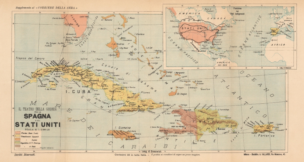
Il Teatro della Guerra fra la Spagna e gli Stati Uniti.
$350.00
Acquire
- Digital Map Information
- Suitable for large format printing
- File Size: 18.05 MB
- File Type: ZIP / TIFF
- ICC color profile embedded
- Delivered instantly via download link
This is an 1898 Antonio Vallardi map of Cuba and Puerto Rico during the Spanish-American War - the war that made the United States a global power. This piece highlights international interest in the conflict. (more details)
Copenhagen - on the cusp of war.
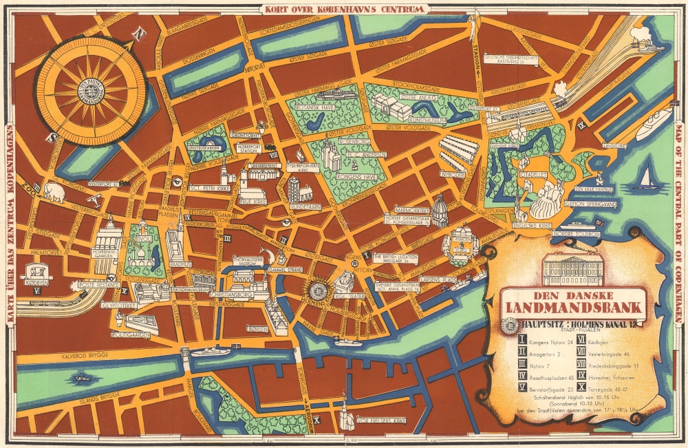
Kort over Københavns Centrum. Karte über das Zentrum Kopenhagens. Map of the Central Part of Copenhagen.
$175.00
Acquire
- Digital Map Information
- Suitable for large format printing
- File Size: 9.29 MB
- File Type: ZIP / TIFF
- ICC color profile embedded
- Delivered instantly via download link
This is a 1936 Danske Landmandsbank (Danish Farmer's Bank) pictorial tourist map of central Copenhagen, Denmark. Published only a few years before the outbreak of World War II (1939 - 1945), the city's many gardens and parks are highlighted alongside museums, monuments, churches, and train stations. (more details)
Proto-State of Franklin and the colony of New Iberia (Morgania).
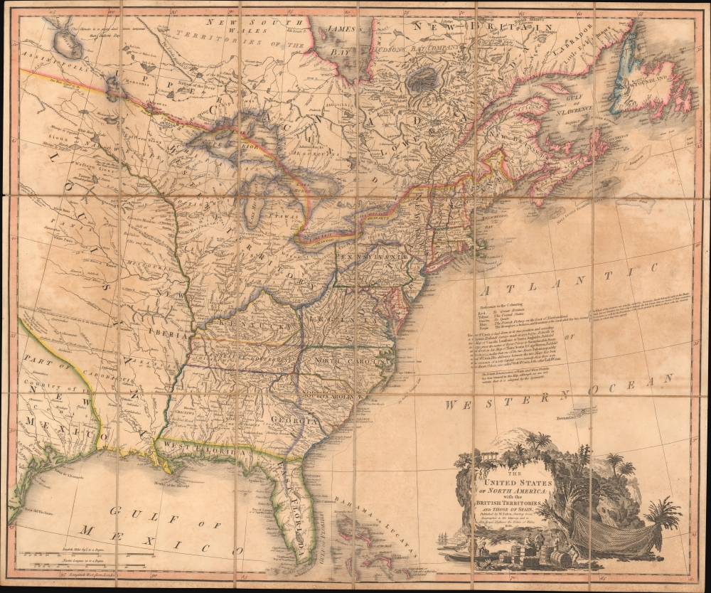
The United States of North America: with the British Territories and Those of Spain.
$6,500.00
Acquire
- Digital Map Information
- Suitable for large format printing
- Full resolution TIFF file
- ICC color profile embedded
- Delivered instantly via download link
This is Faden's 1808 map of the United States, representing the new nation as it was struggling to resolve issues of state vs. federal sovereignty, land rights, American Indian relations, domestic and foreign speculators, and frontier opportunism. It includes the ephemeral proto-state of Franklinia and the colony of New Iberia. (more details)
Bestiary of fantastical northern monsters.
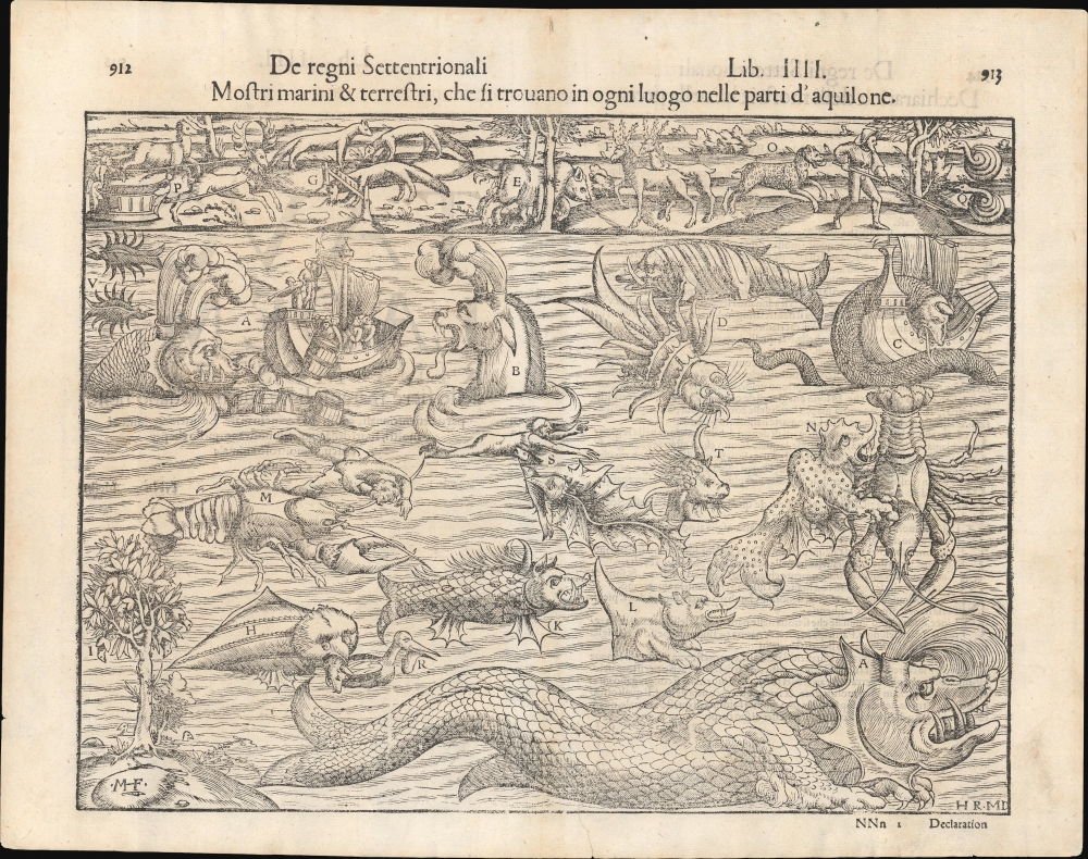
Mostri marini et terrestri, che si trovano in ogni luogo nelle parti d'aquilone.
$4,000.00
Acquire
- Digital Map Information
- Suitable for large format printing
- Full resolution TIFF file
- ICC color profile embedded
- Delivered instantly via download link
An attractive example of Sebastian Münster's bestiary of sea serpents and other astonishing monsters, some fictional, some real. The image first appeared in the expanded 1550 editions of Munster's Cosmographia, a work which for more than half a century provided the European literate layperson their best source of information about the world. Most of the beasts here are derived from a 1539 map of Scandinavia by Olaus Magnus. As fanciful as these creatures may appear, many depict factual creatures that Scandinavian sailors and whalemen occasionally encountered. Among the more recognizable beasts are various forms of whales with obvious blowholes, at least two enormous lobsters, a sea serpent (possibly an oarfish), the whale fish (white fish at center, an Orca), and something that might very well be a walrus. A pelican (letter R) is recognizably depicted, and it is described on the verso including part of its scientific name (Onocrotalus.) Of course, there are fictional sea monsters too, including a pig faced sea beast, apparently seen by sailors in 1537, and the Sea Buffalo, something that looks like a cross between a bull and a fish. (more details)
Souvenirs of Venice.

[Venice Lithographs].
$2,000.00
Acquire
- Digital Map Information
- Suitable for large format printing
- File Size: 66.57 MB
- File Type: ZIP / TIFF
- ICC color profile embedded
- Delivered instantly via download link
This is a set of 11 c. 1890 lithographs of Venice, Italy, after the photography of Carlo Naya. All 11 images are lithographed versions of photographs taken by Carlo Naya, an Italian photographer known for his work relating to Venice. (more details)
First Printed Modern Map of Asia.

Die Laender Asie nach ihrer gelegenheit biss in India werden in diser Tafel verzeichnet.
$2,000.00
Acquire
- Digital Map Information
- Suitable for large format printing
- Full resolution TIFF file
- ICC color profile embedded
- Delivered instantly via download link
This is a 1574 strike of Sebastian Münster's 1540 map of Asia, the first printed map of that continent based on contemporary data and the earliest obtainable map of the continent overall. The map depicts the Asian continent from the Caspian Sea and the Persian Gulf to the Pacific Ocean and from the Arctic Ocean to the Indian Ocean. Although the interior detail is based heavily on Ptolemy, Münster also blends in information gleaned from recent discoveries by Portuguese traders and adventurers, including Vasco da Gama (c. 1460 - 1624). Both the Portuguese outposts of Goa and Calicut, on the Indian subcontinent, are labeled, and the depiction of India is improved, moving closer to a truly accurate depiction, although still undersized. The inclusion of Sri Lanka (Zaylon) as an island is also an improvement; Münster applies Ptolemy's historical name for Sri Lanka - Taprobana - to Sumatra, which is placed correctly to the west of the Malay peninsula. (more details)
Kansas City's moment of most expansive growth.
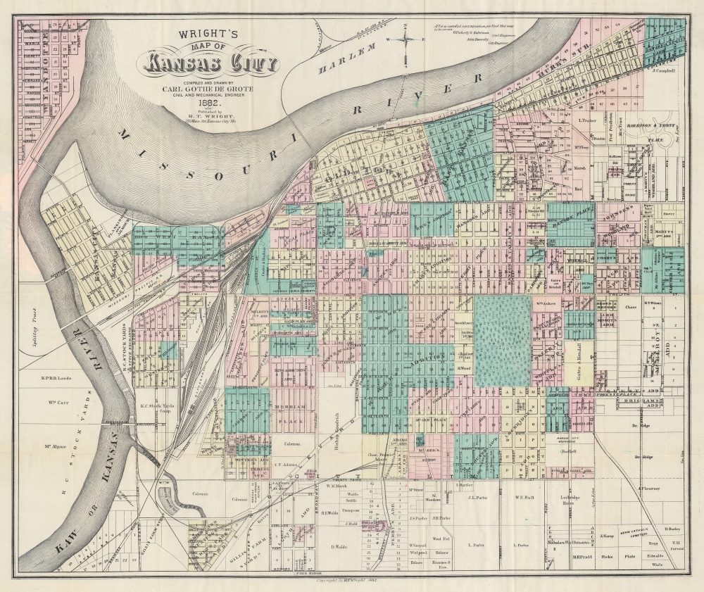
Wright's Map of Kansas City.
$950.00
Acquire
- Digital Map Information
- Suitable for large format printing
- Full resolution TIFF file
- ICC color profile embedded
- Delivered instantly via download link
This is a rare 1882 Carl Gothe de Grote and Harry T. Wright city map of Kansas City, Missouri - published in Kansas City! The map captures Kansas City in its moment of most explosive growth, illustrating the engines of said growth, including urban development plans, railroads, and the Kansas City Stockyards. (more details)
Wonders of the natural world.
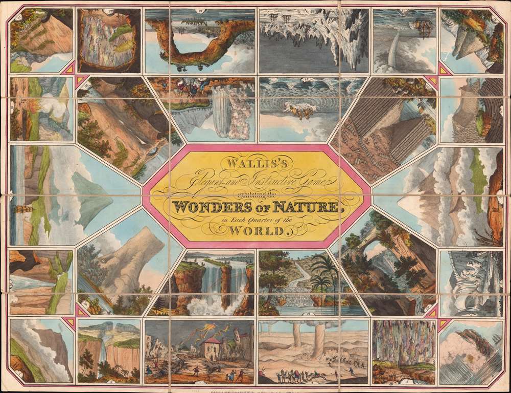
Wallis's Elegant and Instructive Game exhibiting the Wonders of Nature in Each Quarter of the World.
$900.00
Acquire
- Digital Map Information
- Suitable for large format printing
- DPI: 600
- File Size: 33.67 MB
- File Type: ZIP / TIFF
- ICC color profile embedded
- Delivered instantly via download link
This is an 1818 Edward Wallis game map of the world highlighting the 'Wonders of Nature'. Twenty-six spaces spiral around the title in a classic 'jeu de l'oie' or 'game of the goose' model. A 'wonders of nature' occupies each space. Among these are Mount Etna (1), an earthquake (3), the Cave of Antiparos (14), Niagara Falls (20), and the Lofoten Maelstrom (24). (more details)
Among the First Maps of Sri Lanka from Contemporary Report.
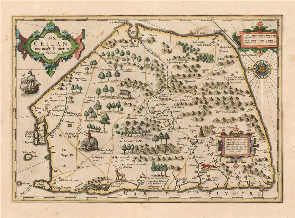
Ins. Ceilan quae incolis Tenarisin dicitur.
$800.00
Acquire
- Digital Map Information
- Suitable for large format printing
- DPI: 600
- File Size: 43.05 MB
- File Type: ZIP / TIFF
- ICC color profile embedded
- Delivered instantly via download link
This is an attractive edition of the 1606 Jodocus Hondius map of Ceylon of Sri Lanka. As one of the maps introduced to Mercator's Atlas after Hondoius acquired the work, it is among the first maps to address the island from first-hand contemporary reports. (more details)
Embryonic Hokkaido.
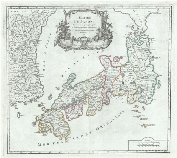
L'Empire du Japon, divise en sept principales parties, et subdivise en soixante et six Royaumes.
$750.00
Acquire
- Digital Map Information
- Suitable for large format printing
- File Size: 23.69 MB
- File Type: ZIP / TIFF
- ICC color profile embedded
- Delivered instantly via download link
This is a large and beautiful 1757 map of Japan and Korea by Robert de Vaugondy. (more details)
Lunenburg - Nova Scotia Coast.
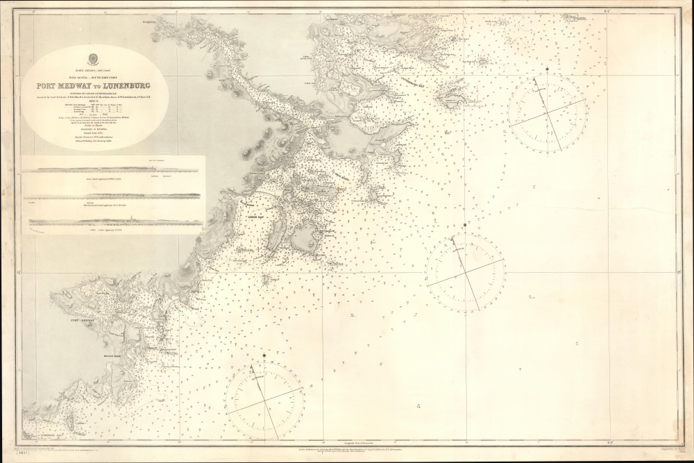
North America. East Coast. Nova Scotia. South East Coast. Port Medway to Lunenburg.
$225.00
Acquire
- Digital Map Information
- Suitable for large format printing
- File Size: 39.33 MB
- File Type: ZIP / TIFF
- ICC color profile embedded
- Delivered instantly via download link
This is a 1901 British Admiralty nautical chart or map of part of the southeastern coast of Nova Scotia from Liverpool Bay (just south of Port Medway) to Lunenburg and Heckman's Island. (more details)
French Guiana under the Vichy.
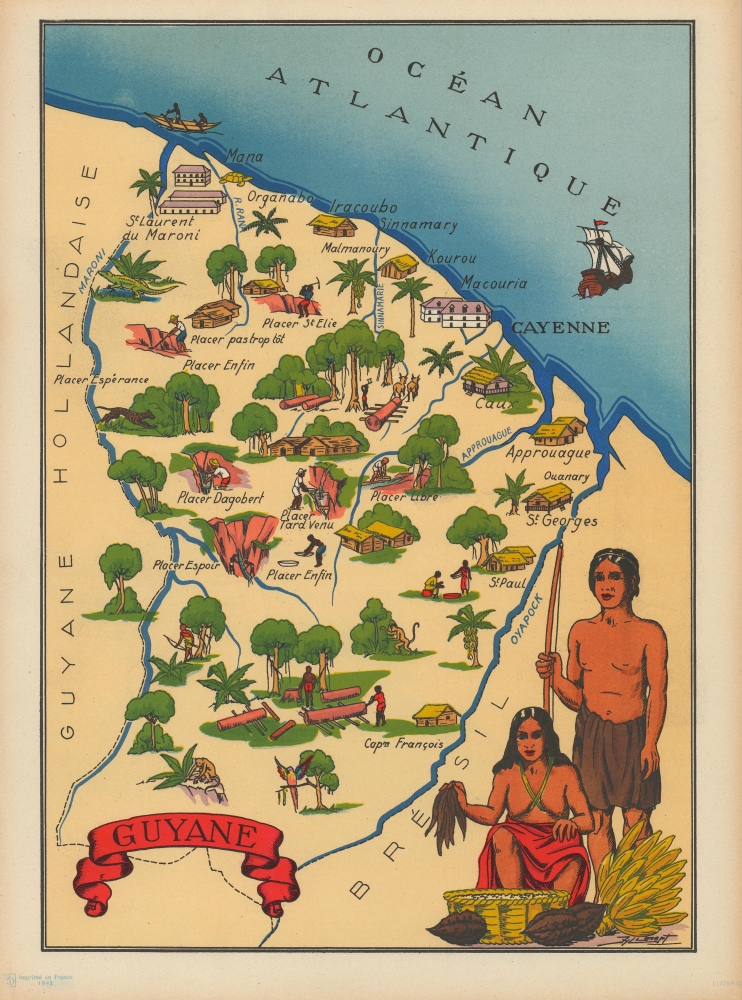
Guyane.
$200.00
Acquire
- Digital Map Information
- Suitable for large format printing
- File Size: 7.04 MB
- File Type: ZIP / TIFF
- ICC color profile embedded
- Delivered instantly via download link
This is a 1943 Jylbert pictorial map of French Guiana. This map was part of a series of 20 maps of the French Empire drawn by Jylbert during the Nazi occupation of France to educate French schoolchildren on the wonders of the Empire and foster national pride. Trees fill the colony and impart ideas of a tropical land. The famous penal colony is not included. (more details)
Hungarian anti-fascist poster printed soon after the liberation of Budapest.

Die Nazi-Bestie Wird in Ihrer Eigenen Höhle Vernichtet.
$2,500.00
Acquire
- Digital Map Information
- Suitable for large format printing
- File Size: 45.74 MB
- File Type: ZIP / TIFF
- ICC color profile embedded
- Delivered instantly via download link
This is a powerful 1945 WWII Era Sándor Ék anti-Nazi pro-soviet propaganda poster published shortly after the liberation of Budapest. (more details)
Rochambeau's March to Yorktown.

[Revolutionary War Map Showing Rochambeau's March from Boston to the Chesapeake.]
$2,200.00
Acquire
- Digital Map Information
- Suitable for large format printing
- File Size: 18.32 MB
- File Type: ZIP / TIFF
- ICC color profile embedded
- Delivered instantly via download link
This is the first edition of François Soulés map of the American coast during the Revolutionary War, illustrating Rochambeau's epic march from Boston to the Chesapeake Bay and Yorktown - a key achievement that contributed to the decisive American victory at Yorktown. (more details)
Final Battle of the American Revolutionary War.

Plan D'York en Virginie avec les attaques et les Campemens de l'Armee combinee de France et d'Amerique. [Battle of Yorktown]
$1,200.00
Acquire
- Digital Map Information
- Suitable for large format printing
- File Size: 9.5 MB
- File Type: ZIP / TIFF
- ICC color profile embedded
- Delivered instantly via download link
An important 1787 American Revolutionary War map by F. Soulés illustrating the Battle of Yorktown, the last major conflict of the war. (more details)
Paris, the Enlightenment City.
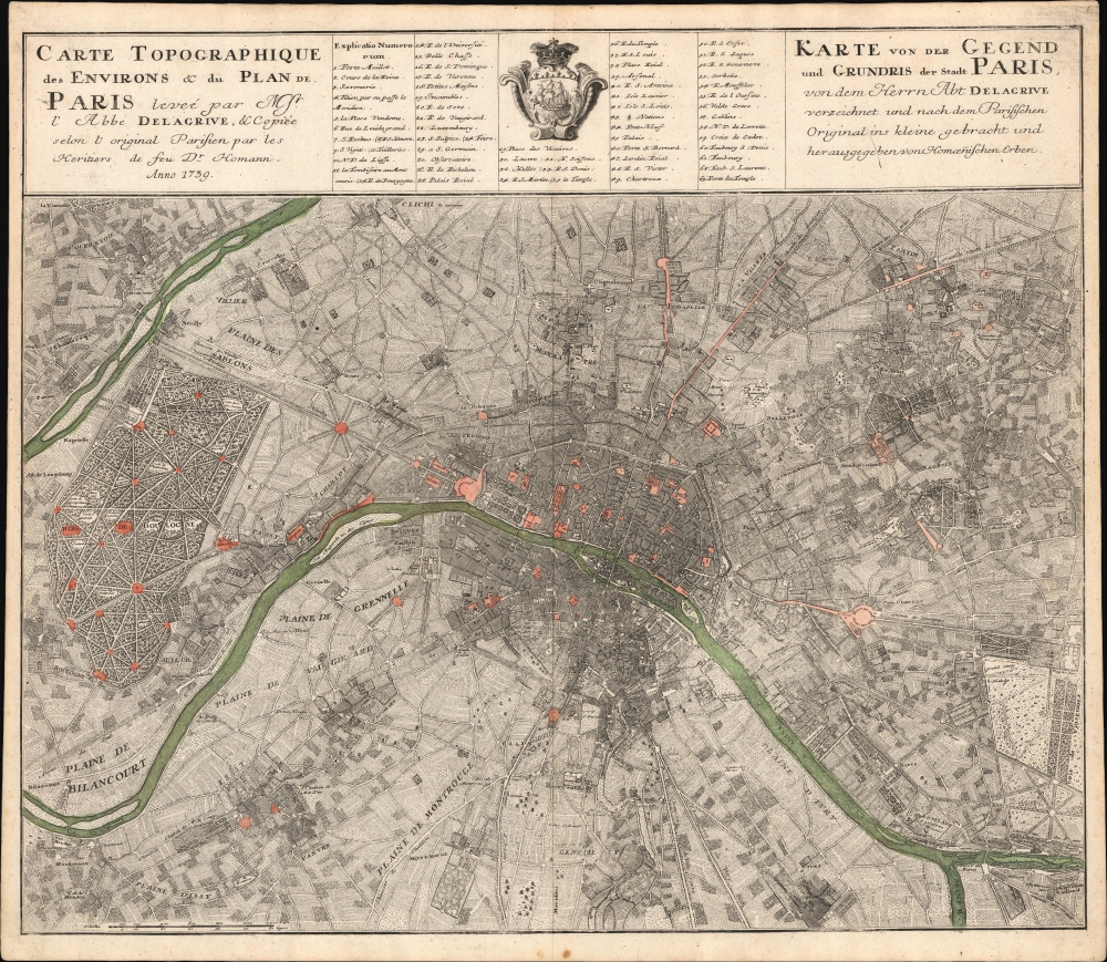
Carte Topographique des Environs et du Plan de Paris leveé par Msr. l'Abbé Delagrive, et Copiée selon l'original Parisien par les Heritiers de fus Dr. Homann Anno 1739. / Karte von der Gegend und Grundris der Stadt Paris, von dem Herrn Abt Delagrive verzeichnet und nach dem Parisischen Original ins kleine gebracht und her ausgegeben von Homoenischen Erben.
$1,100.00
Acquire
- Digital Map Information
- Suitable for large format printing
- File Size: 42.14 MB
- File Type: ZIP / TIFF
- ICC color profile embedded
- Delivered instantly via download link
This is the scarce 1739 Homann Heirs edition of the seminal Jean Delagrive map of Paris, France, and its environs. It illustrates Paris under the reign of King Louis XV, at its peak as a center of Enlightenment thought, with Parisian intellectuals, philosophers, and artists shaping the cultural and political discourse of Europe. (more details)
Saigon - Mỹ Tho Railroad and Vĩnh Tế Canal.
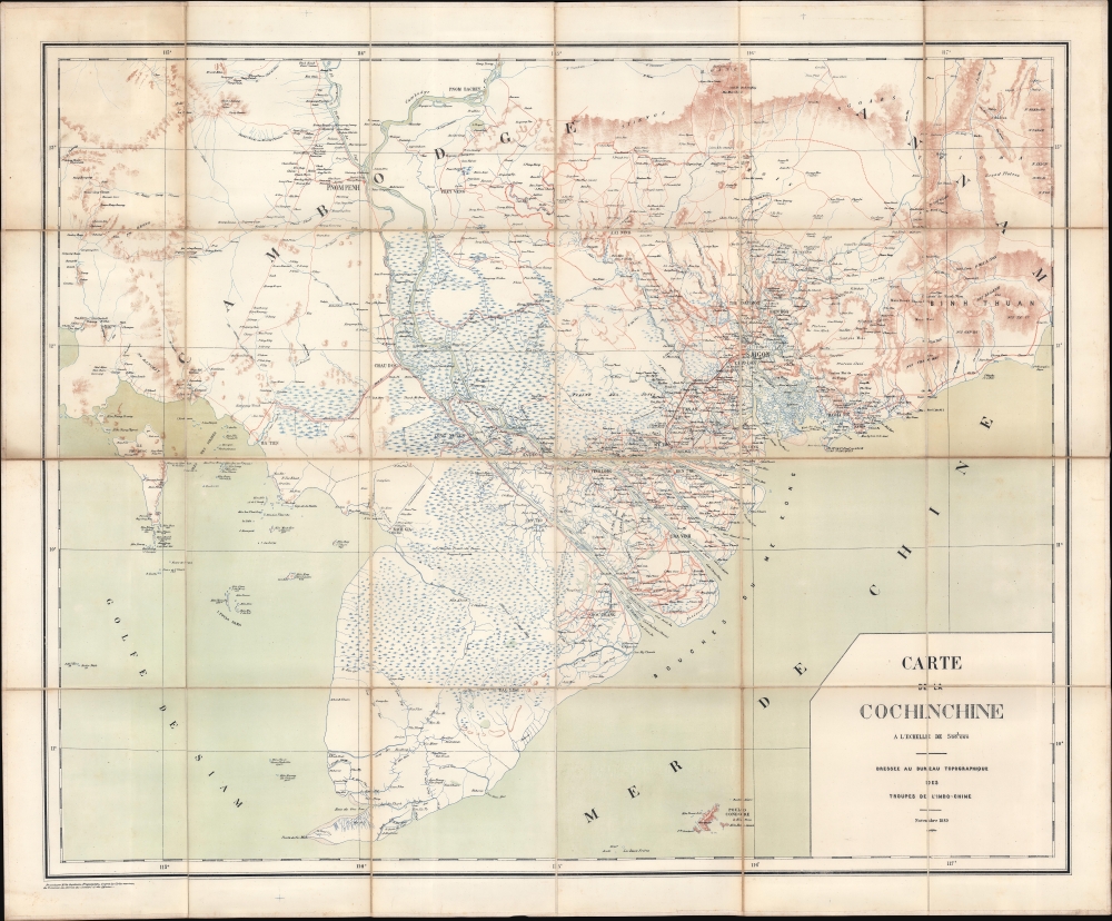
Carte de la Cochinchine.
$950.00
Acquire
- Digital Map Information
- Suitable for large format printing
- File Size: 48.13 MB
- File Type: ZIP / TIFF
- ICC color profile embedded
- Delivered instantly via download link
This is an 1889 Bureau topographique des Troupes de l'Indochine map of Cochinchina, including parts of modern-day southern Vietnam and Cambodia. The map is significant for its coverage of the Saigon - Mỹ Tho Railroad and Vĩnh Tế Canal. (more details)