
NEW ACQUISITIONS
Cereal Serial.
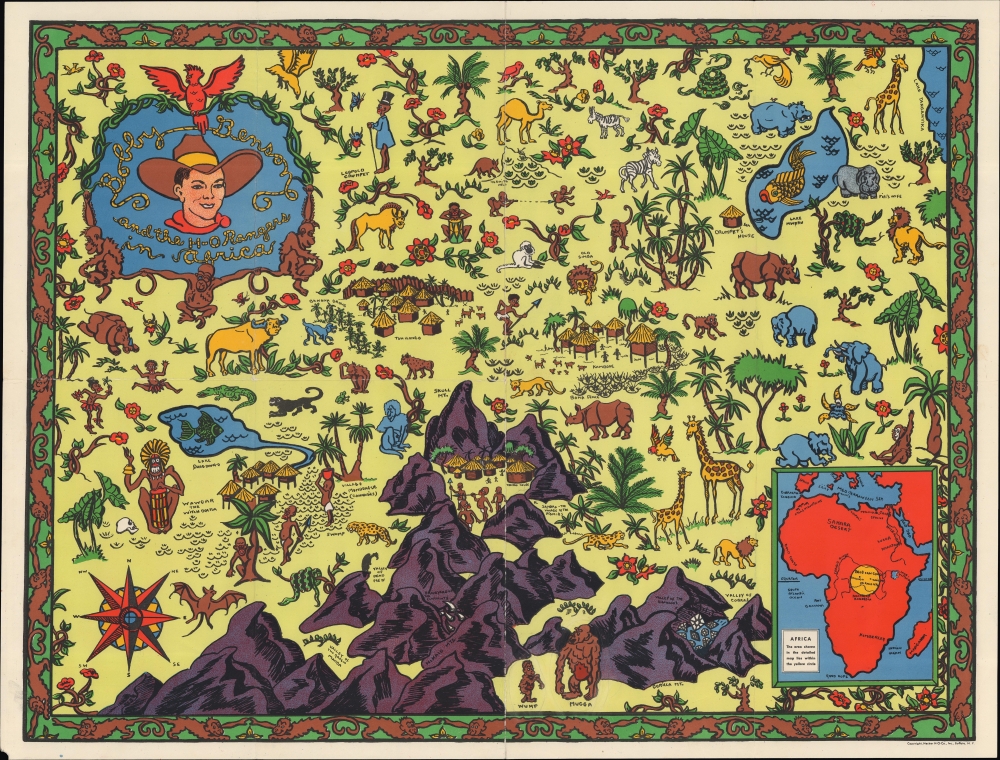
Bobby Benson and the H-O Rangers in Africa.
$250.00
Acquire
- Digital Map Information
- Suitable for large format printing
- File Size: 23.26 MB
- File Type: ZIP / TIFF
- ICC color profile embedded
- Delivered instantly via download link
A colorful pictorial map combining elements of actual geography with an imagined African landscape, prepared c. 1935 by the Hecker H-O Company to promote the radio show character Bobby Benson and, by extension, their cereal. (more details)
Salubrious Soviet Sojourns.
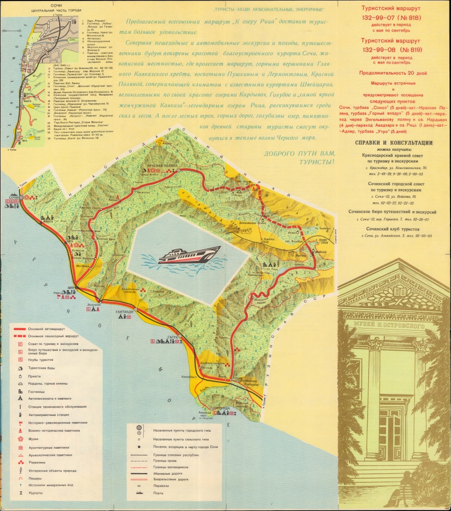
К Озеру Рица / [To Lake Ritsa].
$200.00
Acquire
A Soviet-era tourist map of Sochi and Lake Ritsa, Abkhazia, Georgia, produced in 1973 by the Main Administration of Geodesy and Cartography (G.U.G.K.) of the Soviet Union. (more details)
Keystone of the Central Valley Project.
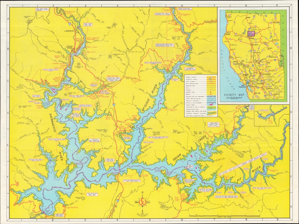
Shasta Lake.
$200.00
Acquire
A brilliantly-colored c. 1973 Weekend Outdoor Production map of Lake Shasta, northern California, highlighting fishing and recreation. (more details)
Arkansas, Mississippi, and Louisiana at the end of the American Civil War.
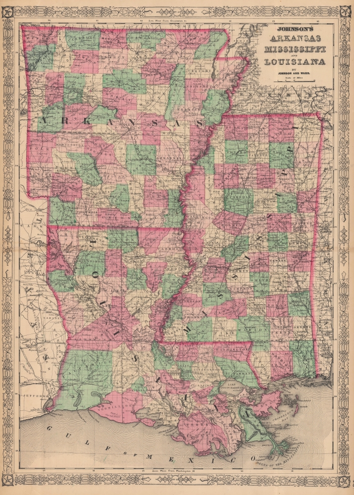
Johnson's Arkansas, Mississippi and Louisiana.
$100.00
Acquire
- Digital Map Information
- Suitable for large format printing
- File Size: 29.81 MB
- File Type: ZIP / TIFF
- ICC color profile embedded
- Delivered instantly via download link
This is an 1865 Johnson and Ward map of Arkansas, Mississippi, and Louisiana during Reconstruction. (more details)
'A masterpiece designed to give a general picture of the Old and New' - Old Maps of Korea
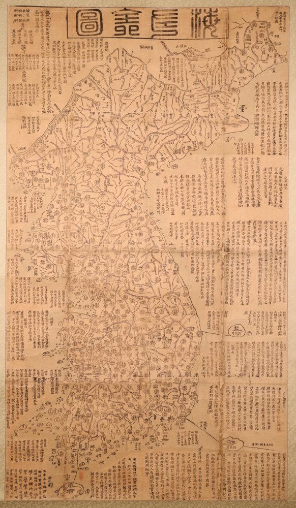
海左全図 [Haezwa Jeon-do / Map of the Country in the West of the Sea.]
$22,000.00
Acquire
- Digital Map Information
- Suitable for large format printing
- Full resolution TIFF file
- ICC color profile embedded
- Delivered instantly via download link
A rare discovery, this c. 1850 woodblock map is one of the few early Korean maps of Korea to be found outside of Korea. It is significant on many levels, being a record of Korea following the reign of King Sunjo (조선 순조; 1790 - 1834), a period when Korea was facing increased pressure from foreign powers, including Japan, Russia, and China. It is also significant for illustrating Korea's disputed island, Dokdo. (more details)
One of the Earliest Printed Maps of India.
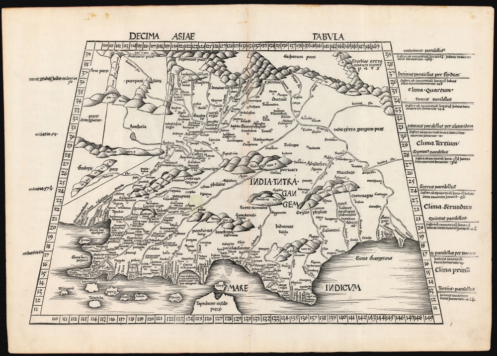
Decima Asie Tabula.
$8,500.00
Acquire
- Digital Map Information
- Suitable for large format printing
- File Size: 22.27 MB
- File Type: ZIP / TIFF
- ICC color profile embedded
- Delivered instantly via download link
This is Martin Waldseemüller's 1513 edition of the Ptolemaic map of India, one of the earliest acquirable maps of the area and an essential step in the subcontinent's cartographic evolution. Waldseemüller and Ringmann issued it for their 1513 Geographie Opus Novissima, the most comprehensively edited and amended edition of Claudius Ptolemy's 2nd-century geography. Moreover, this map was the largest format edition of Ptolemy's map to have been produced to date. (more details)
Large, Beautifully Executed Schoolgirl Map.
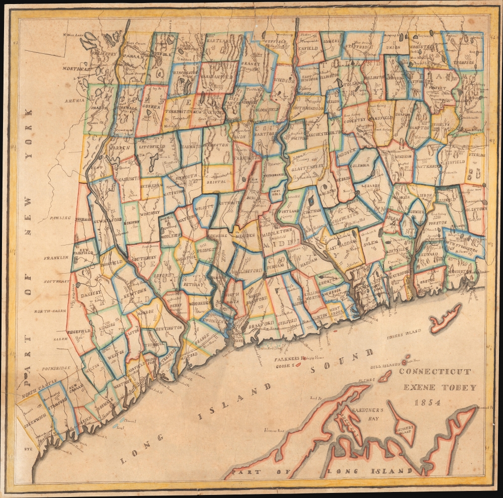
Connecticut Exene Tobey 1854.
$3,500.00
Acquire
- Digital Map Information
- Suitable for large format printing
- File Size: 26.2 MB
- File Type: ZIP / TIFF
- ICC color profile embedded
- Delivered instantly via download link
This is an attractive 1854 schoolgirl manuscript map of Connecticut drawn by 13-year-old Exene E. Tobey of New Canaan. (more details)
The Holy City for the Armchair Pilgrim.
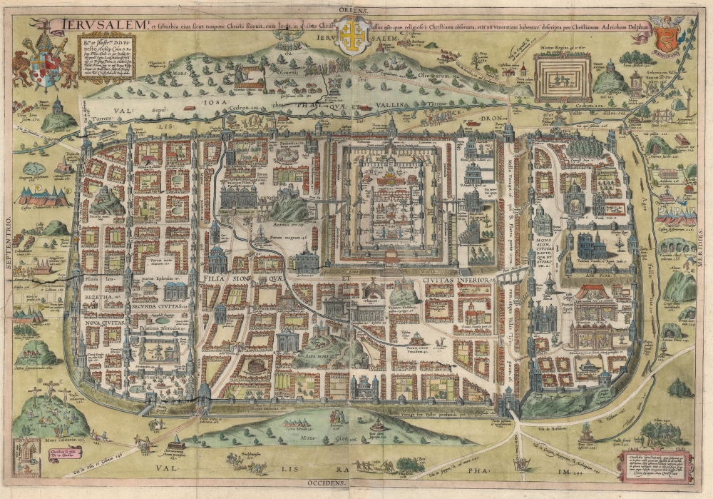
Ierusalem, et suburbia eius, sicut tempore Christi floruit ... descripta per Christianum Adrichom Delphum.
$2,000.00
Acquire
- Digital Map Information
- Suitable for large format printing
- File Size: 43.73 MB
- File Type: ZIP / TIFF
- ICC color profile embedded
- Delivered instantly via download link
This is an elegant example of Christian van Adrichem's influential 1584 plan of the Biblical Jerusalem. It was included in his 1584 Theatrum Terrae Sanctae, a Biblical atlas intended to provide visual structure to Catholic catechism - not only to inform the religious scholar, but to provide the basis for a sort of 'virtual pilgrimage' to the holy sites of Jerusalem when actual travel there was, for most, utterly impossible. (more details)
Honoring military service in the late 19th century.
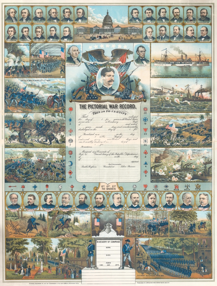
The Pictorial War Record.
$1,900.00
Acquire
- Digital Map Information
- Suitable for large format printing
- File Size: 51.43 MB
- File Type: ZIP / TIFF
- ICC color profile embedded
- Delivered instantly via download link
This is a rare 1898 James M. Vickroy chromolithograph broadside commemorating the Spanish-American War (1898) and the American Civil War (1861 - 1865) - the two most significant American wars of the second part of hte 19th century. The view is part of a genre of decorative broadsides sold commercially to those wishing to commemorate the military service of a family member. This example was never used. (more details)
Surrealist embodiment of the golden age of air travel.

Air France.
$1,800.00
Acquire
- Digital Map Information
- Suitable for large format printing
- File Size: 57.67 MB
- File Type: ZIP / TIFF
- ICC color profile embedded
- Delivered instantly via download link
This is Lucien Boucher's iconic c. 1950 double hemisphere celestial map drawn to promote Air France, here in a scarce large format edition. Boucher's work for Air France is considered an embodiment of the golden age of air travel. In a surrealistic style, Boucher illustrates the constellations as seen from the northern and southern hemispheres. The constellations of the Zodiac are highlighted in gold and orange. Taurus is missing from this group, as it is obscured by the Earth. Rendered in tones of burnt orange, a spider work of Air France routes appears over the Earth. Wind heads decorate each corner. Here the airplane is master not just of the sky, but the whole universe, connecting the passenger not merely to earthly destinations, but to the heavenly spheres themselves. (more details)
Vermont Gold Rushes.
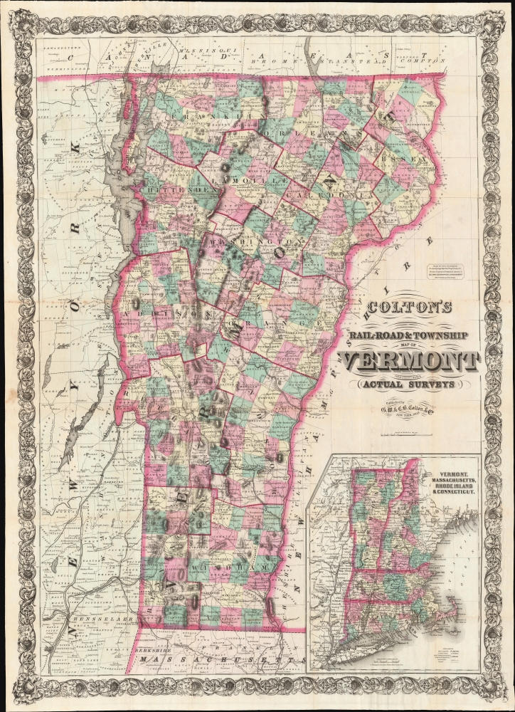
Colton's Rail-Road and Township Map of Vermont from County Maps and Actual Surveys.
$1,500.00
Acquire
- Digital Map Information
- Suitable for large format printing
- File Size: 74.41 MB
- File Type: ZIP / TIFF
- ICC color profile embedded
- Delivered instantly via download link
A striking 1868 example of G. W. and C. B. Colton's 1868 pocket map of Vermont. The map is novel as Colton's only large-scale separate-issue map to focus exclusively on Vermont. It is also of interest for its illustration of the Vermont gold region - a little-known chapter in the state's history. (more details)
Treaty Ports in China.
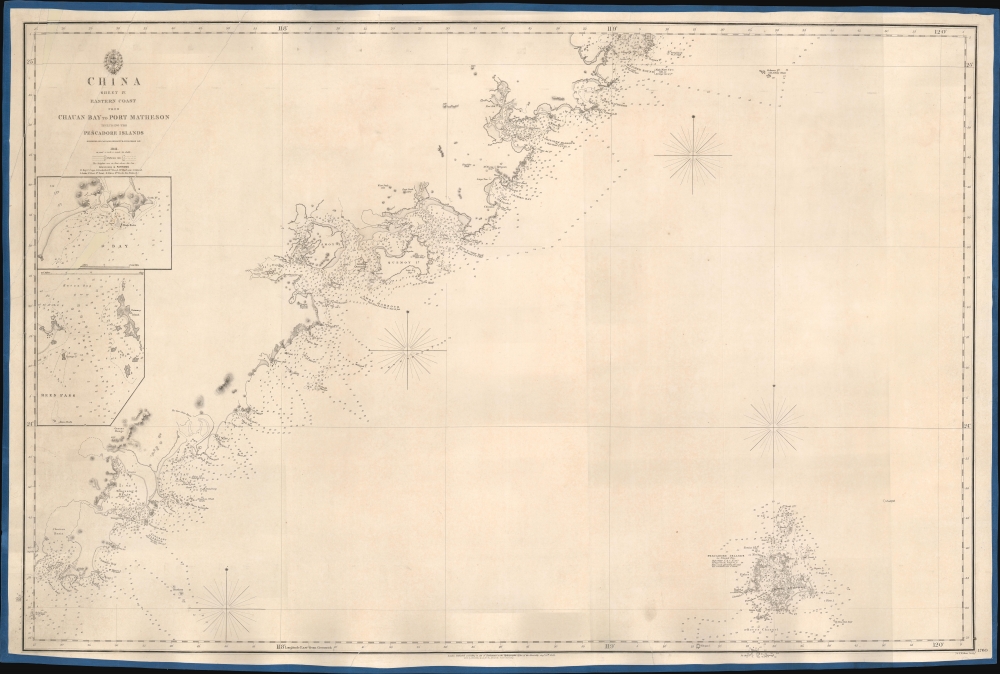
China Sheet IV. Eastern Coast from Chauan Bay to Port Matheson Including the Pescadore Islands.
$1,200.00
Acquire
- Digital Map Information
- Suitable for large format printing
- DPI: 600
- File Size: 24.79 MB
- File Type: ZIP / TIFF
- ICC color profile embedded
- Delivered instantly via download link
This is an 1849 British Admiralty Hydrographic Office nautical map of the Fujian coast of China. First published in 1844, only two years after the end of the First Opium War (1839 - 1842), Xiamen (Amoy) was the first of five treaty ports opened to the Europeans after the signing of the Treaty of Nanking, officially opening China to European traders. Before this treaty, only one port, Guangzhou, was open to European traders. Thus, this chart provided necessary details for mariners and traders taking advantage of this new market. (more details)
Visit Salt Lake City!

Salt Lake City Utah.
$475.00
Acquire
This is a 1981 Archar Inc. 'City Character Print' pictorial map of Salt Lake City, Utah, playfully promoting the city's history, identity, and businesses. (more details)
A Center of America's Aviation Industry.
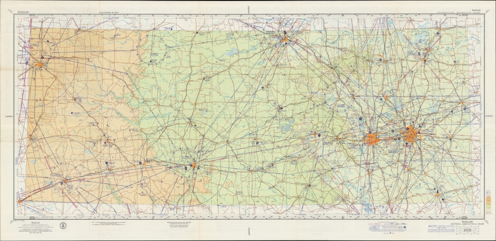
Dallas Sectional Aeronautical Chart. 43rd Edition. U. S. Air Force Edition.
$450.00
Acquire
A large-format aeronautical chart of northern Texas, focusing on the Dallas-Fort Worth region, prepared in 1957 by the U.S. Coast and Geodetic Survey. The map records Dallas' pioneering contributions to early American aviation. (more details)
Harrison's approaches to Japan in Newsmap form.
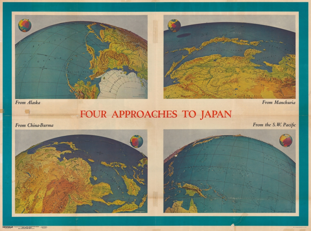
Four Approaches to Japan. Volume III No. 3B / NEWSMAP. For the Armed Forces. 243rd Week of the War - 125th Week of U.S. Participation. Volume III No. 3F.
$275.00
Acquire
- Digital Map Information
- Suitable for large format printing
- Full resolution TIFF file
- ICC color profile embedded
- Delivered instantly via download link
This is a 1944 Army Information Branch double-sided Newsmap for the week of April 27 to May 4, 1944. It was issued on May 8, 1944. One side of the map features four Richard Edes Harrison map views depicting the four approaches to Japan. The other includes information and photographs from both the Italian and Pacific campaigns and a map depicting the pre-invasion air offensive undertaken by the Allies, which presents continental Europe from England and Spain to Leningrad and the Black Sea and from Oslo and the North Sea to Naples, Greece, and Turkey. (more details)
U.S. servicemen protecting the Canal Zone.
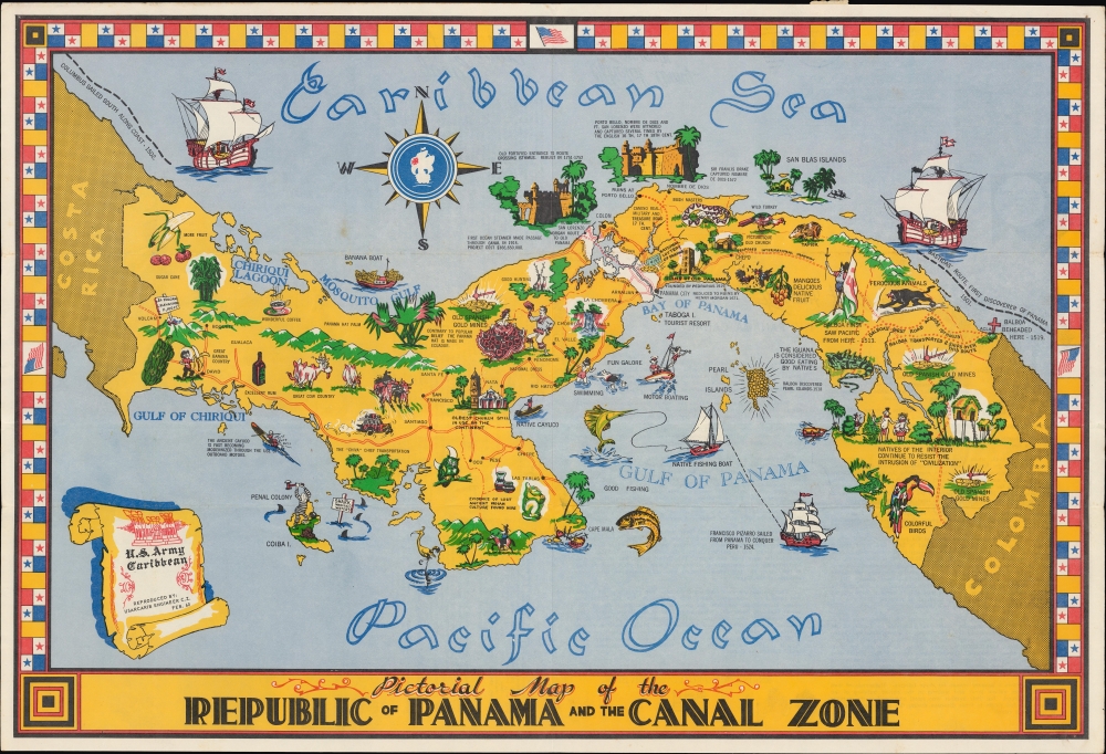
Pictorial Map of the Republic of Panama and the Canal Zone.
$250.00
Acquire
A 1960 pictorial mailer map of Panama and the Panama Canal Zone drawn by B. J. Carter and distributed to servicemembers of the U.S. Army Caribbean, tasked with defending the canal zone. (more details)
Earliest Newsmap?
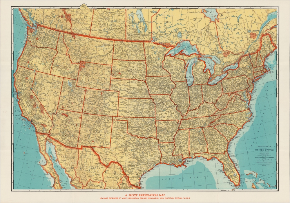
A Troop Information Map / Rand McNally Standard Map of United States.
$250.00
Acquire
- Digital Map Information
- Suitable for large format printing
- File Size: 81.75 MB
- File Type: ZIP / TIFF
- ICC color profile embedded
- Delivered instantly via download link
A curious, unrecorded c. 1942 Newsmap of the United States, based on an earlier Rand McNally map of the same. It is likely a very early Newsmap, distinct from the Army Information Branch's later output. (more details)
Paris during the Interwar Period.
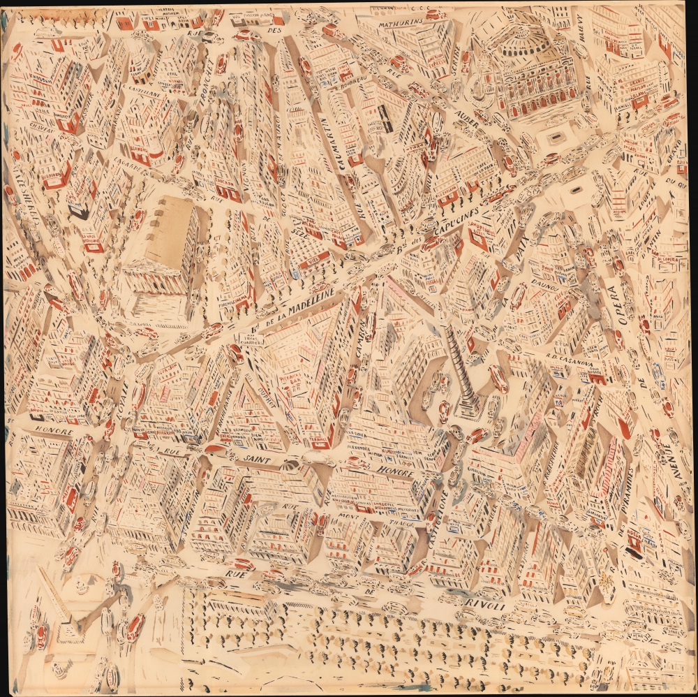
[Paris.]
$9,500.00
Acquire
- Digital Map Information
- Suitable for large format printing
- File Size: 31.49 MB
- File Type: ZIP / TIFF
- ICC color profile embedded
- Delivered instantly via download link
This vibrant, likely Joseph Pinchon, watercolor map of Paris, c. 1931-38, highlights the city's Interwar shopping, bar, theater, and café life. The artist's confident hand reveals Paris as a dynamic crucible of creativity and commerce during the luminous interval before the dark years of World War II. While the piece is unattributed, there is strong anecdotal evidence that is the work came from the Huguette Marcelle Clark (1906 - 2011) collection and is by one of the major French artists she patronized: Joseph Porphyre Pinchon (1871 - 1953), Jean Mercier, or Chéri Hérouard, Pinchon being the most likely candidate. (more details)
Locomotive for sale!

M. W. Baldwin and Company Locomotive Builders Philadelphia.
$4,500.00
Acquire
- Digital Map Information
- Suitable for large format printing
- File Size: 36.62 MB
- File Type: ZIP / TIFF
- ICC color profile embedded
- Delivered instantly via download link
This is a striking c. 1860 Jonathan Ord chromolithograph of a M.W. Baldwin and Company steam locomotive. The image was used to promote and advertise the locomotive to prospective buyers. (more details)
Landmark of Cyrillic calligraphic printing.
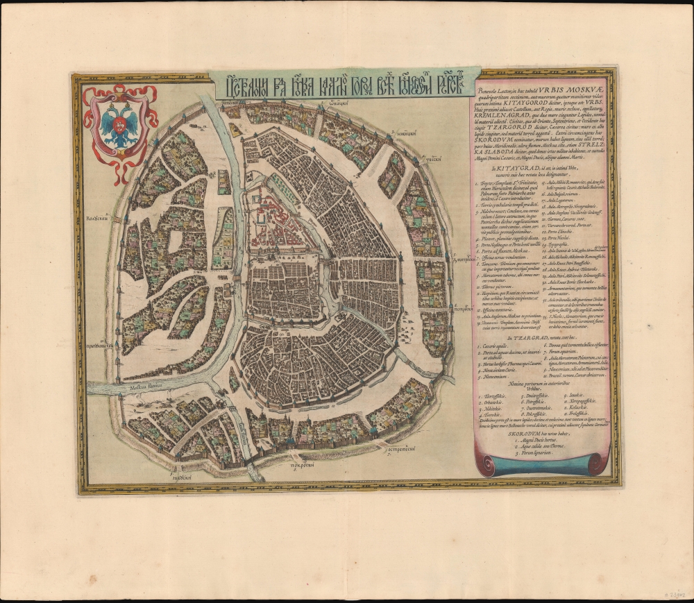
Царствающои град Москва началнои город всех московских государствах. / Carstvajuščoi grad Moskva načalo I gorod všeh Moskovech I carstvach. Urbis Moskvae.
$4,400.00
Acquire
- Digital Map Information
- Suitable for large format printing
- Full resolution TIFF file
- ICC color profile embedded
- Delivered instantly via download link
This is the 1662 Hessel Gerritsz and Willem Janszoon Blaeu city map or plan of Moscow, Russia. The map is significant as the dominant plan of Moscow in the 17th century. It is also significant for its innovative use of Cyrillic calligraphy to name both the city gates and in the map's titling - a first for non-Russian publishers. The Cyrillic calligraphy of the title is especially innovative, revealing the designer as a master of the style. (more details)