
NEW ACQUISITIONS
Includes a stunning view of central Paris along the Seine.
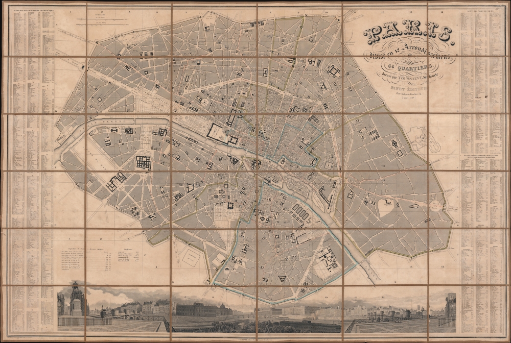
Paris divisé et 12 Arrondissement et 48 Quartiers.
$1,000.00
Acquire
- Digital Map Information
- Suitable for large format printing
- DPI: 600
- File Size: 269.96 MB
- File Type: ZIP / TIFF
- ICC color profile embedded
- Delivered instantly via download link
This is a c. 1840 G. Alvar Toussaint city plan or map of Paris, France, under King Louis-Philippe (1830 - 1848). The map captures Paris when it remained a rabbit warren of narrow mediaeval streets - the Haussmannn Renovations did not begin until 1848. At the time Paris was the beating heart of European Romanticism, the home of Balzac, Delacroix, Rossini, Chopain, Liszt, Berlioz, Manet, Hugo, and so many others. (more details)
On the cusp of great change.
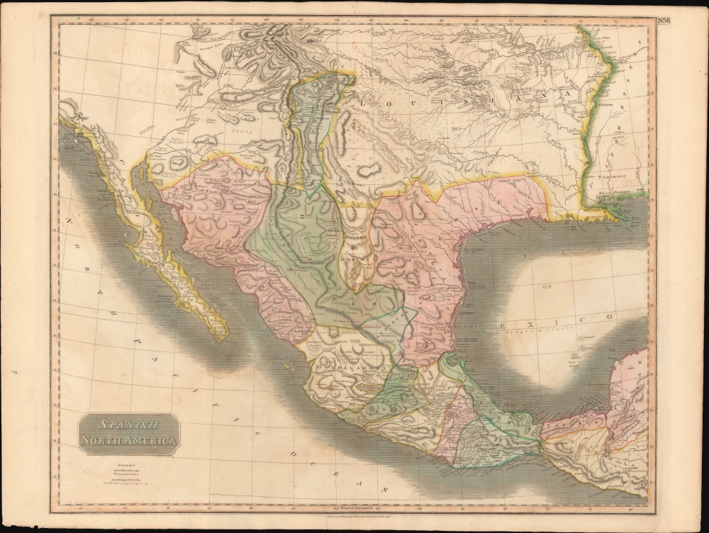
Spanish North America.
$650.00
Acquire
- Digital Map Information
- Suitable for large format printing
- Full resolution TIFF file
- ICC color profile embedded
- Delivered instantly via download link
This beautiful 1814 map is most likely the most important large format English atlas map of the American Southwest to be produced in the first quarter of the 19th century. It captures the region on the cusp of great change. At the time of issue Mexico was embroiled in the Mexican War of Independence (1810 - 1821). After the war, the newly independent Mexican Republic, eager to develop its vast northern provinces of Texas and New Mexico, initiated the 'Empressario' system, which opened Texas foreign settlement. The 'Empressario' grants gave rise to a large and industrious Anglo population in Texas and set the stage for the 1836 Texan Revolution and the subsequent Mexican-American War (1846 - 1848). (more details)
Happy Arabia.
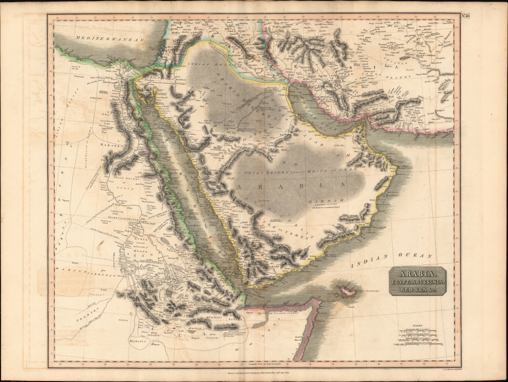
Arabia, Egypt, Abyssinia, Red Sea etc.
$550.00
Acquire
- Digital Map Information
- Suitable for large format printing
- DPI: 600
- File Size: 78.89 MB
- File Type: ZIP / TIFF
- ICC color profile embedded
- Delivered instantly via download link
This is an example of John Thomson's 1814 map of Arabia, Egypt, and Abyssinia. Centered on the Arabian Peninsula, Thomson's map covers from the eastern Mediterranean to the Horn of Africa, and from the Libyan Desert to Persia. The whole of this map is beautifully engraved in the minimalist English style pioneered in the early part of the 19th century. Relief is shown by hachure with towns, caravan routes, cities, and major topographical features identified. (more details)
Rare Transitional State Chronicling the Aftermath of the 1818 Delaware's Cession.
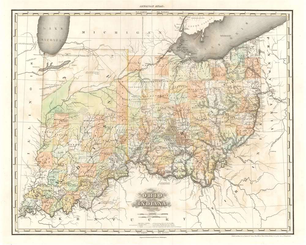
Ohio and Indiana By H.S. Tanner.
$2,000.00
Acquire
- Digital Map Information
- Suitable for large format printing
- DPI: 600
- File Size: 30.04 MB
- File Type: ZIP / TIFF
- ICC color profile embedded
- Delivered instantly via download link
A rare and important map of Ohio and Indiana by Henry S. Tanner, in a transitional state between the 1823 and 1825 editions of his New American Atlas. This elephant folio map covers all of Ohio and Indiana in detail, as well as sketching in adjacent parts of Michigan, Illinois, Kentucky, Virginia and Pennsylvania. The map is a strong example of Tanner's superb engraving, showing rivers, topography by hachure, cities, towns and roadways. (more details)
Japanese propaganda map issued shortly after takeover of Taiwan on unusual projection.
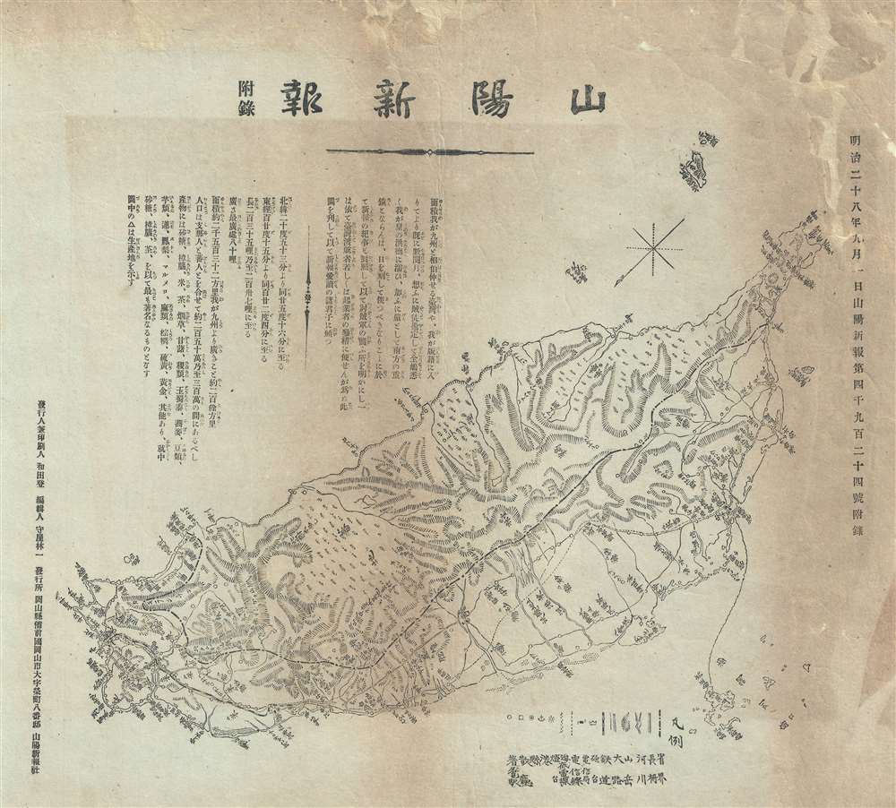
山陽新報 附錄 / Sanyo Shimbun Supplement.
$1,200.00
Acquire
- Digital Map Information
- Suitable for large format printing
- File Size: 6.82 MB
- File Type: ZIP / TIFF
- ICC color profile embedded
- Delivered instantly via download link
This is a rare and unusual propaganda map of Taiwan or Formosa, issued in September of 1895 (Meiji 28), a few months after the Japanese takeover. The map covers all of Taiwan and the nearby Penghu or Pescadores Islands. It is presented on an unusual southeasterly orientation, with north in the bottom left corner. A border roughly following the Zhongyang Range separates western or Chinese Taiwan from aboriginal Taiwan to the east. A key in the at the bottom identifies cities, railroads, roads, topography, and resources. (more details)
German Forty-Eighters and the California Gold Rush.
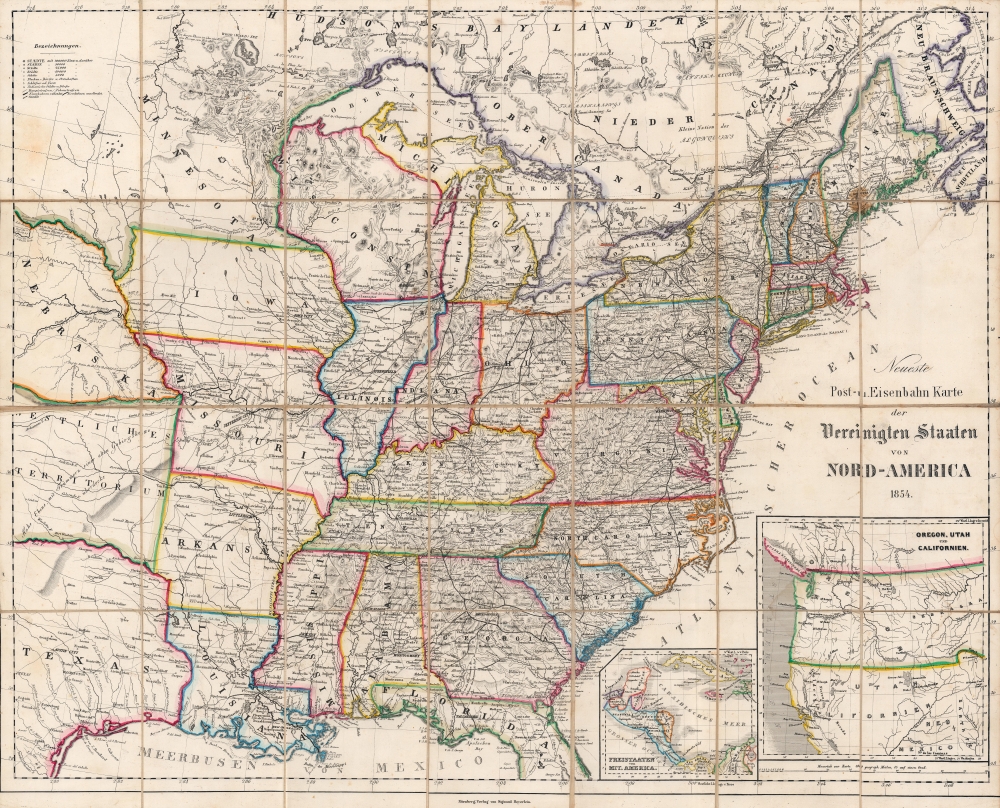
Neueste Post-u. Eisenbahn Karte der Vereinigten Staaten von Nord-America.
$1,000.00
Acquire
- Digital Map Information
- Suitable for large format printing
- Full resolution TIFF file
- ICC color profile embedded
- Delivered instantly via download link
A finely colored and engraved 1854 German-language folding map of the United States, based on maps by Calvin Smith, Henry Tanner, and others, published in Nuremberg by Sigmund Beyerlein. It reflects interest in the U.S. at a time when German Forty-Eighter immigration surged, driven by the California Gold Rush and the failure of the Springtime of the Peoples Revolutions of 1848. (more details)
City Beautiful Movement meets the 'Heart of America.'
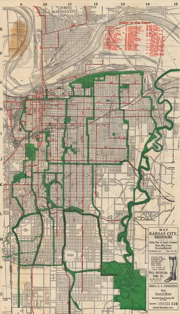
Official guide and map for greater Kansas City...
$375.00
Acquire
- Digital Map Information
- Suitable for large format printing
- Full resolution TIFF file
- ICC color profile embedded
- Delivered instantly via download link
A c. 1920 folding map of Kansas City, Missouri published by the Gallup Map and Supply Company. It shows the city near its population peak, when a series of impressive infrastructure and public works projects reshaped the city. (more details)
Border dispute in the Great North Woods.
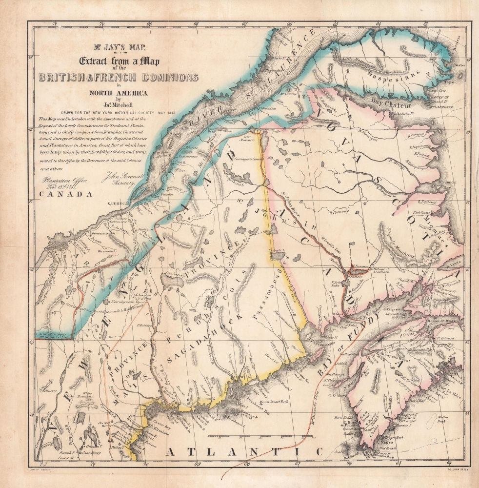
Mr. Jay's map : extract from a map of the British and French dominions in North America.
$900.00
Acquire
- Digital Map Information
- Suitable for large format printing
- Full resolution TIFF file
- ICC color profile embedded
- Delivered instantly via download link
An 1843 map of the U.S.-Canada border region, including portions the states and provinces of Maine, New Hampshire, Quebec, New Brunswick, and Nova Scotia, as it appeared one century prior. This map is a reissue of a portion of a 1755 map by John Mitchell which played an important role in settling the boundary between the American Republic and British North America (Canada) in the late 19th century. It was republished in the aftermath of the 'Aroostook War,' an Anglo-American diplomatic dispute between 1838 and 1842 over the same boundary, appearing in Albert Gallatin's A Memoir on the North-Eastern Boundary, in Connection with Mr. Jay's Map. (more details)
The arteries of late Victorian London.
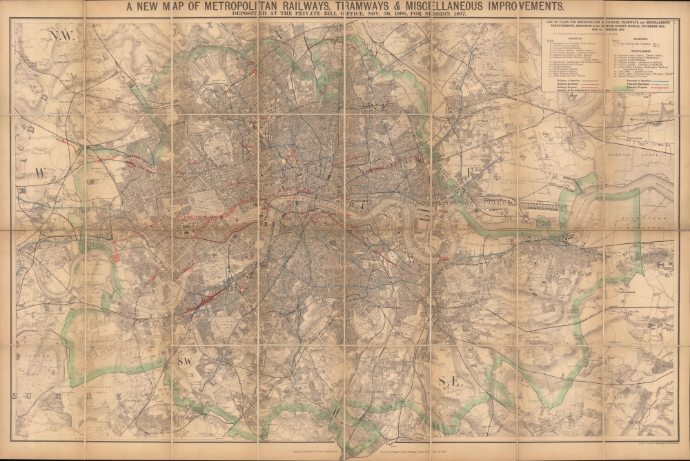
A new map of metropolitan railways, tramways and miscellaneous improvements.
$800.00
Acquire
- Digital Map Information
- Suitable for large format printing
- Full resolution TIFF file
- ICC color profile embedded
- Delivered instantly via download link
A large and impressive 1896 Edward Stanford map of late Victorian London highlighting the city's railways, including underground lines and tramways (horse trams), both extant and proposed. It provides an excellent overview of the city, which had grown explosively throughout the 19th century to reach some five million people, six and a half for the entire metropolitan area, by this time. (more details)
Ephemeral New England transport network.
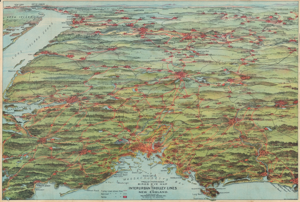
Trolley Pathfinder Birds Eye Map of Interurban Trolley Lines in New England.
$700.00
Acquire
- Digital Map Information
- Suitable for large format printing
- Full resolution TIFF file
- ICC color profile embedded
- Delivered instantly via download link
This is a vivid 1905 chromolithograph bird's-eye view style pocket map of New England by George Walker issued for the Metropolitan News Company. It was issued to promote the extensive but ephemeral New England interurban streetcar network of the early 20th century. (more details)
The struggle for voting rights in Alabama.
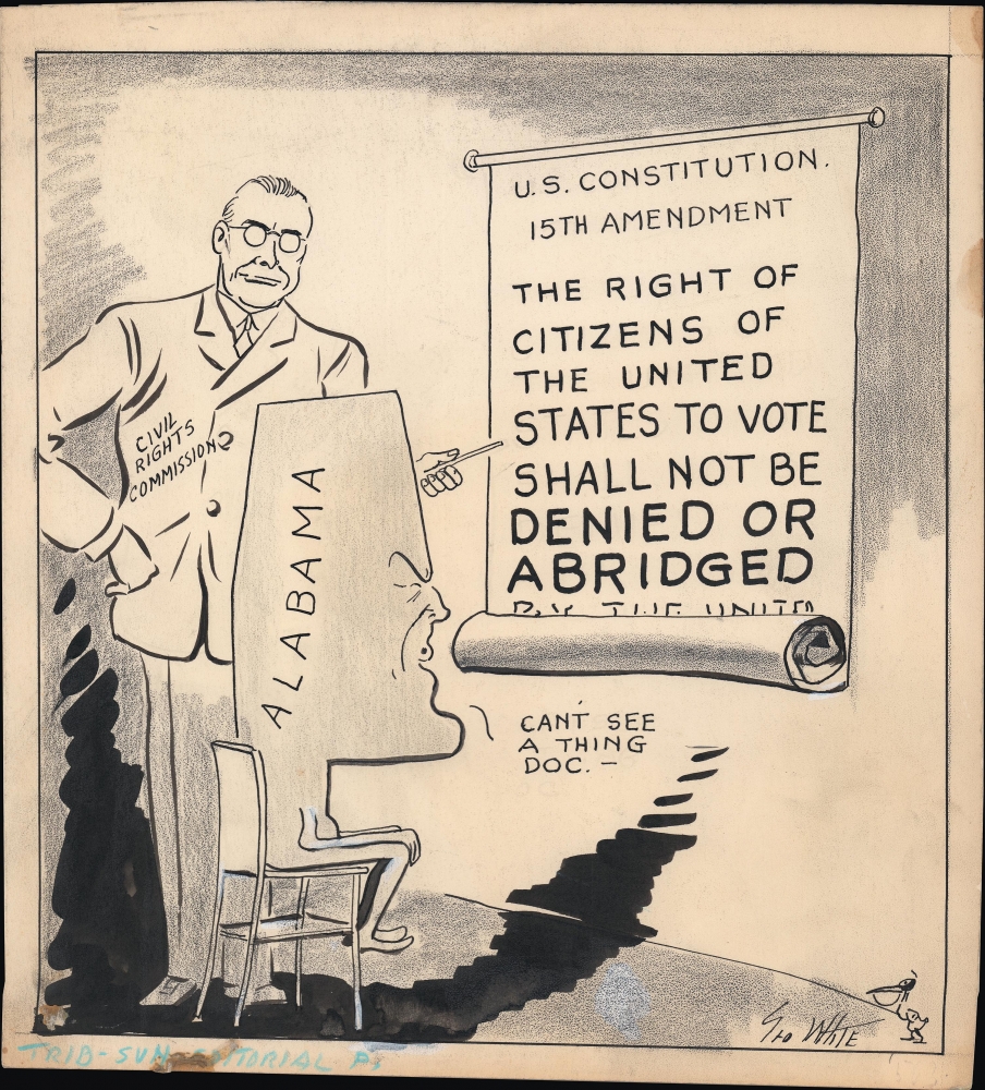
[Civil Rights Commission].
$650.00
Acquire
A c. 1957 original manuscript draft political cartoon by George White for the Tampa Morning Tribune. It was produced in the context of the creation of the United States Commission on Civil Rights, which undertook investigations of voter rights violations in Alabama. (more details)
How Cuba became Communist.
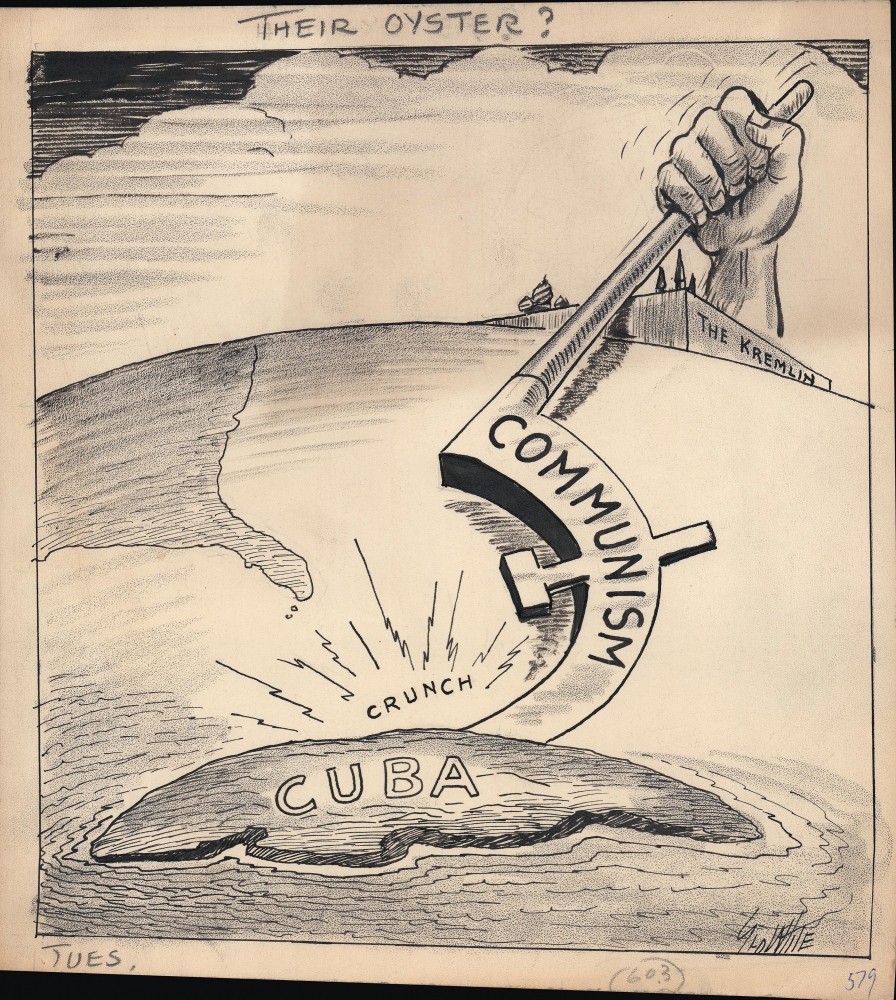
Their Oyster?
$650.00
Acquire
A c. 1961 original manuscript draft political cartoon by George White for the Tampa Morning Tribune. It refers to the growing ties between Cuba and the Soviet Union in the wake of the Cuban Revolution. (more details)
Features the Republic of Texas.
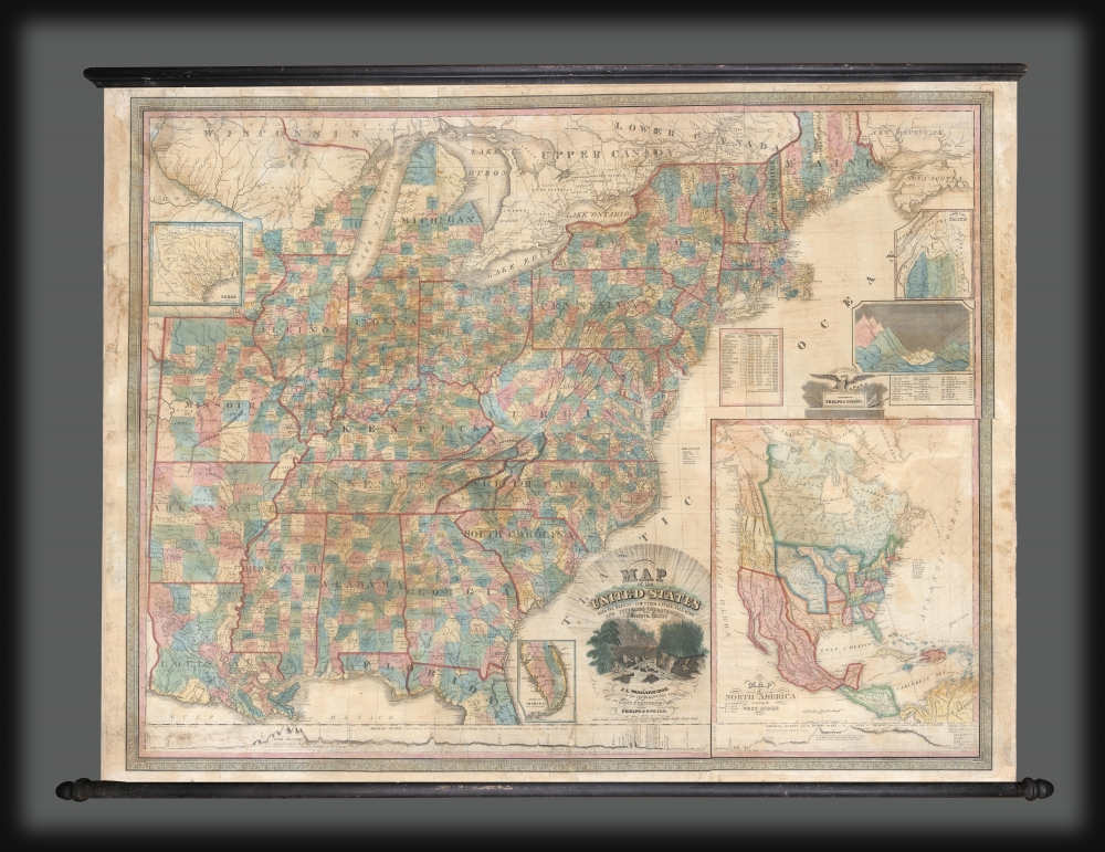
Map of the United States with the Recent Counties, Cities, Villages and Internal Improvements in the Western States.
$3,500.00
Acquire
- Digital Map Information
- Suitable for large format printing
- DPI: 600
- File Size: 199.26 MB
- File Type: ZIP / TIFF
- ICC color profile embedded
- Delivered instantly via download link
An impressive 1845 Phelps and Ensign map of the United States with an inset of the newly formed Republic of Texas. This map is a much revised and updated variant on the 1817 Varlé map, and more specifically, the 1832 Stebbins / Varlé reissue. It stands out for its inclusion of the Republic of Texas as an inset. The map also illustrates U.S. claims to British Columbia - part of the Oregon Question or 54-40 border debate between the United States and British North America. (more details)
Cape Ann and the North Shore.
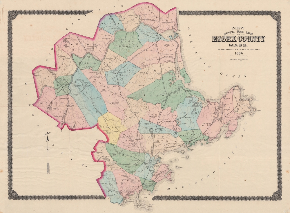
New Driving Road Map of Essex County, Mass.
$700.00
Acquire
- Digital Map Information
- Suitable for large format printing
- File Size: 84.63 MB
- File Type: ZIP / TIFF
- ICC color profile embedded
- Delivered instantly via download link
This is an 1884 George Walker map of Essex County, Massachusetts. The map details the North Shore region, including Cape Ann, Gloucester, Essex, Lawrence, Salem, Newburyport, and Lynn. The county's road and railroad network appears in detail, noting the 'Gloucester, Essex, and Lawrence' branches of the 'Eastern Railroad', the 'Newburyport Railroad', the 'Boston and Maine Railroad', and the 'Salem and Lowell Railroad'. (more details)
Laos enters America's public consciousness.
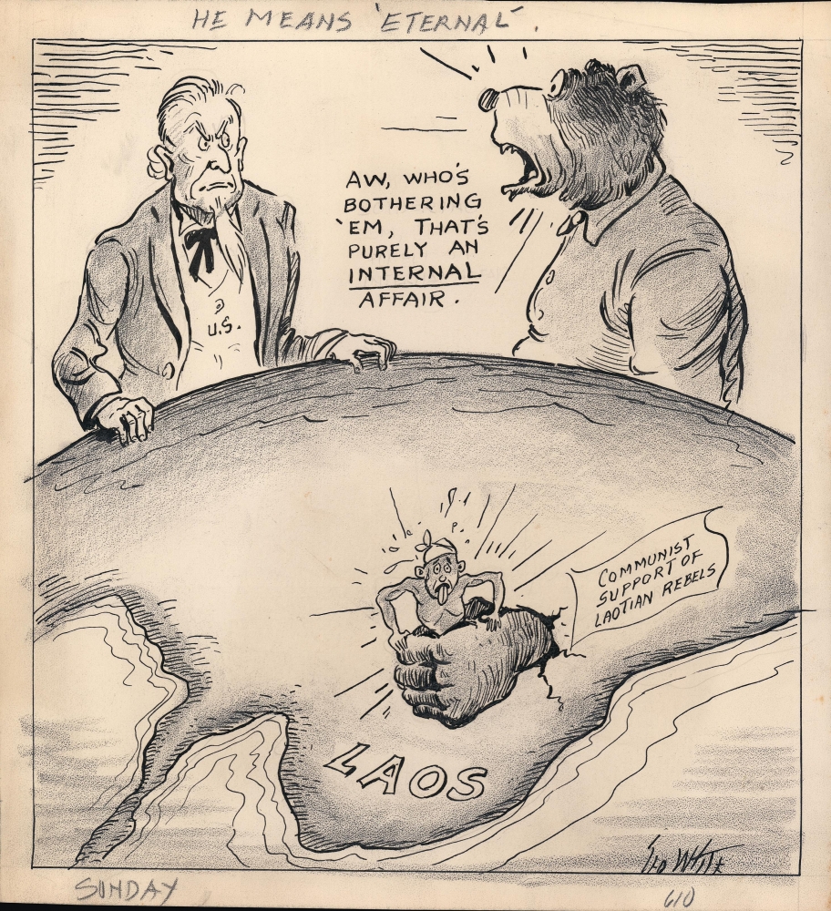
He Means 'Eternal'.
$650.00
Acquire
- Digital Map Information
- Suitable for large format printing
- File Size: 5.58 MB
- File Type: ZIP / TIFF
- ICC color profile embedded
- Delivered instantly via download link
A c. 1953 original manuscript political cartoon by George White for the Tampa Morning Tribune. It depicts Communist influence in Laos as the Viet Minh-aligned Pathet Lao were becoming an increasing threat to the U.S.-backed government. (more details)
Tahoe!
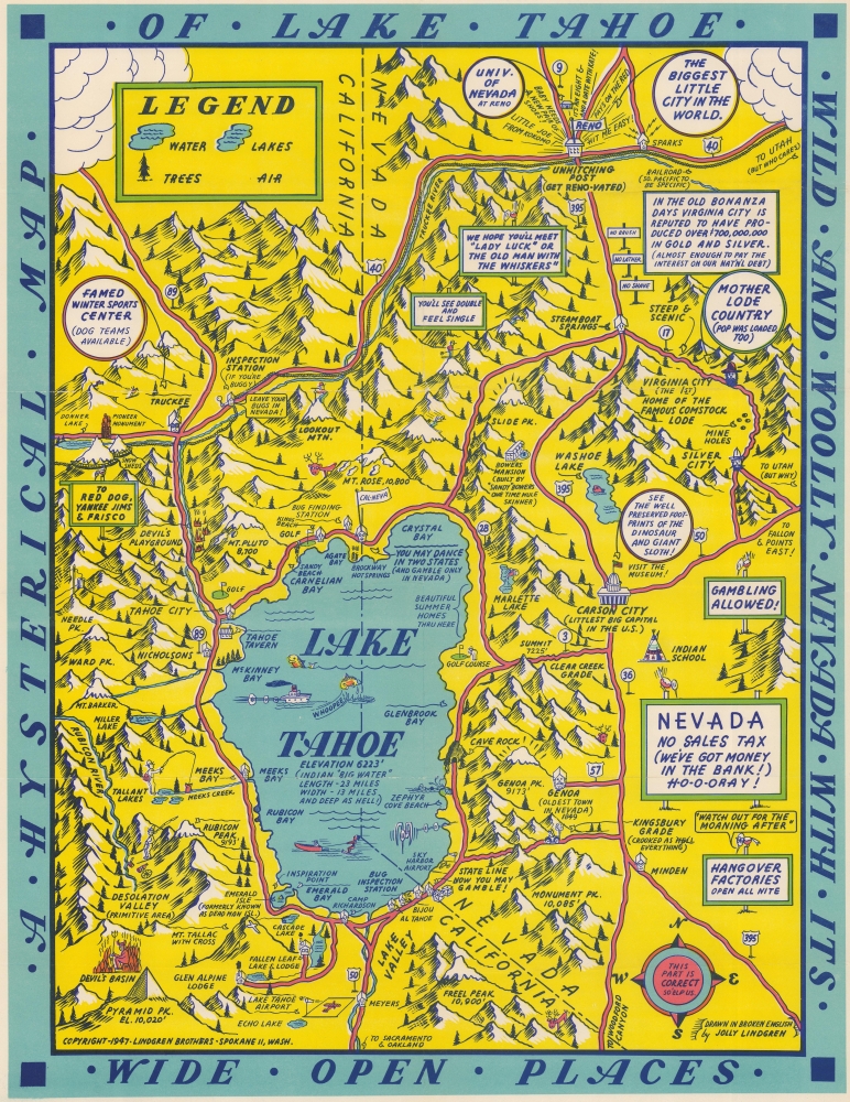
A Hysterical Map of Lake Tahoe Wild and Wooly Nevada with its Wide Open Places.
$650.00
Acquire
- Digital Map Information
- Suitable for large format printing
- Full resolution TIFF file
- ICC color profile embedded
- Delivered instantly via download link
This is a 1947 Jolly Lindgren 'hysterical' map of Lake Tahoe. Created in Lindgren's iconic style, Lake Tahoe take center stage, with surrounding camps, lakes, mountains, ski resorts, and towns. The California-Nevada state line is prominently illustrated, and Lindgren emphasizes legal gambling in Nevada and its illegality in California. Reno is situated in the upper right, with its slogan 'the biggest little city in the world'. Gambling phrases echo out from Reno, which is also identified as an 'un-hitching post'. Virginia City, the site of the famous Comstock Lode appears south of Reno. Signs in Nevada proclaim, 'legal gambling' and a 'huge' sign declares 'Nevada: No Sales Tax'. Lodges, an occasional tavern, and mountain peaks are identified throughout both California and Nevada. Truckee, California, the 'famed winter sports center', appears in the upper left. (more details)
Early settlements and Nebraska frontier landmarks.
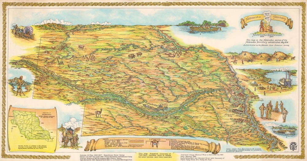
Nebraska Territory Nebraska Centennial 1854 - 1954.
$650.00
Acquire
This is Walter F. Clarke's 1954 pictorial map of the Nebraska Territory created to celebrate the joint centennial of Nebraska Territory and the city of Omaha. The map illustrates Nebraska as it appeared in 1854, with coverage extending well outside modern-day Nebraska's borders. It reaches north to the Black Hills in modern-day South Dakota and west to Fort Laramie in modern-day Wyoming. (more details)
The steel city.
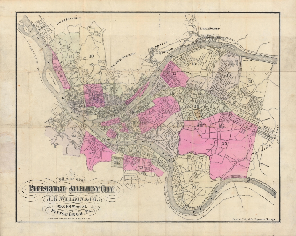
Map of Pittsburgh and Allegheny City.
$500.00
Acquire
- Digital Map Information
- Suitable for large format printing
- Full resolution TIFF file
- ICC color profile embedded
- Delivered instantly via download link
A large and colorful 1882 city plan or map of Pittsburgh and environs produced by J. R. Weldin and Rand McNally. It illustrates the city as it appeared during the 'Second Industrial Revolution', an economic boom driven by steel, chemicals, and other industries. (more details)
Inspiration for H P. Lovecraft!
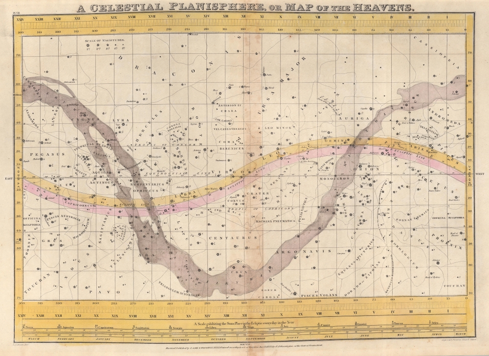
A Celestial Planisphere, or Map of the Heavens.
$350.00
Acquire
- Digital Map Information
- Suitable for large format printing
- DPI: 600
- File Size: 40 MB
- File Type: ZIP / TIFF
- ICC color profile embedded
- Delivered instantly via download link
This is a rare 1833 Elijah Burritt hand-colored map of the night sky. Centered on the Ecliptic, this map identifies zones associated with major constellations. The Milky Way is shaded. A scale exhibiting the Sun's place in the ecliptic at various times of the year appears below the map proper. This map, like all of Burritt's charts, is based on the celestial cartographic work of Ignace-Gaston Pardies (1635 - 1673) and Johann Gabriel Doppelmayr (1677 - 1750). (more details)
The relative size and distance of the planets in the Solar System.
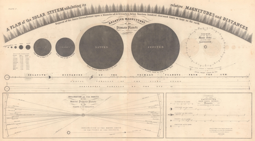
A Plan of the Solar System exhibiting its relative Magnitudes and Distances.
$200.00
Acquire
- Digital Map Information
- Suitable for large format printing
- File Size: 45.04 MB
- File Type: ZIP / TIFF
- ICC color profile embedded
- Delivered instantly via download link
This is an 1856 Elijah Burritt celestial chart of the Solar System. The central chart illustrates the relative magnitude of the planets, providing an understanding of the size of the primary planets in relation to one another, with sizes relative to the Earth provided as well. The arc of large and small triangles illustrates a part of the Sun on the same scale as the other planets! A chart below illustrates the primary planets' relative size and distances from the Sun. Two sub charts occupy the bottom third of the sheet and detail the orbital inclination of several primary planets to the plane of the Ecliptic and the distances of the satellites from their several primaries. (more details)