
NEW ACQUISITIONS
Classic Dutch Golden Age Map of America.
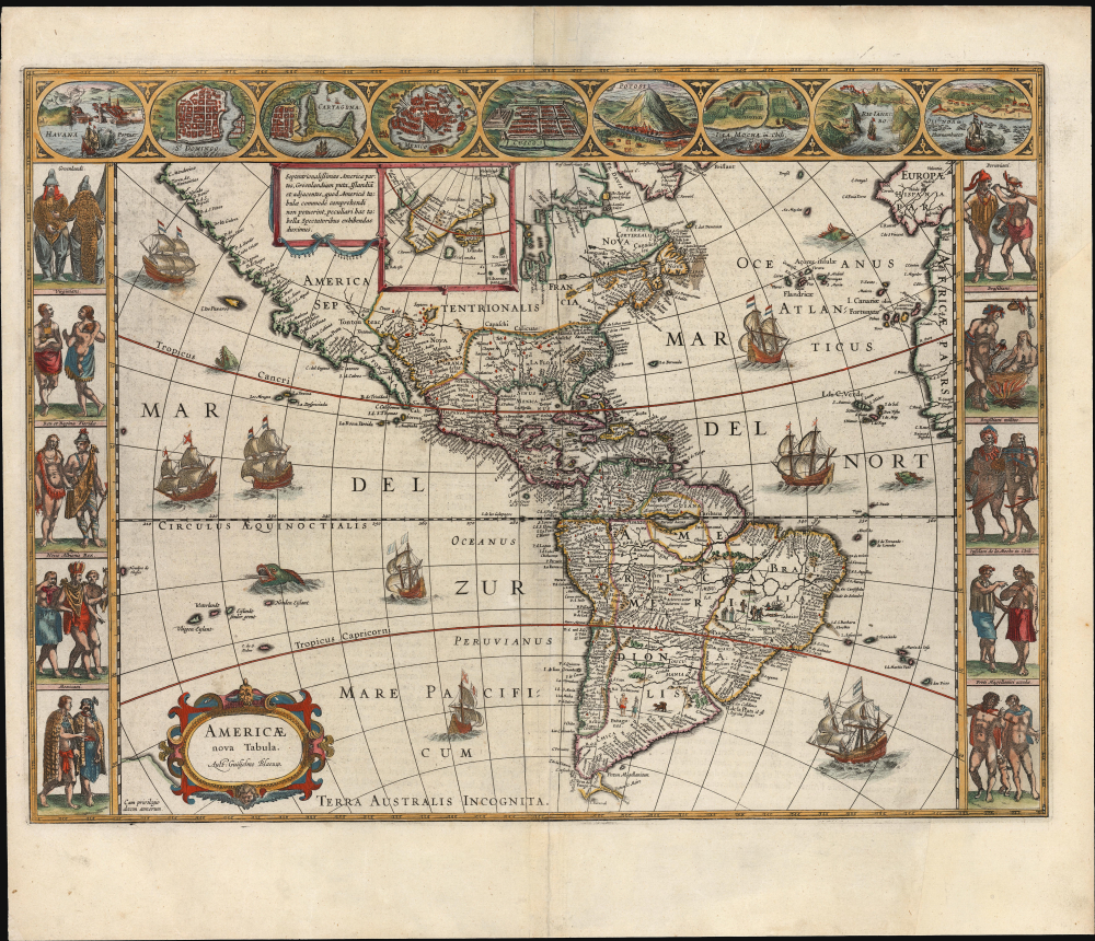
Americae Nova Tabula. Auct. Guilielmo Blaeuw.
$3,500.00
Acquire
- Digital Map Information
- Suitable for large format printing
- Full resolution TIFF file
- ICC color profile embedded
- Delivered instantly via download link
This is the essential Dutch map of America: Willem Janszoon Blaeu's 1635 carte-á-figures of the Western Hemisphere. It is among the most desirable printed maps, encapsulating in one piece the most sought-after aesthetic qualities of the Dutch Golden Age of Cartography. The present example dates to 1638, an early atlas edition. (more details)
Railroads in Reconstruction-Era Texas.
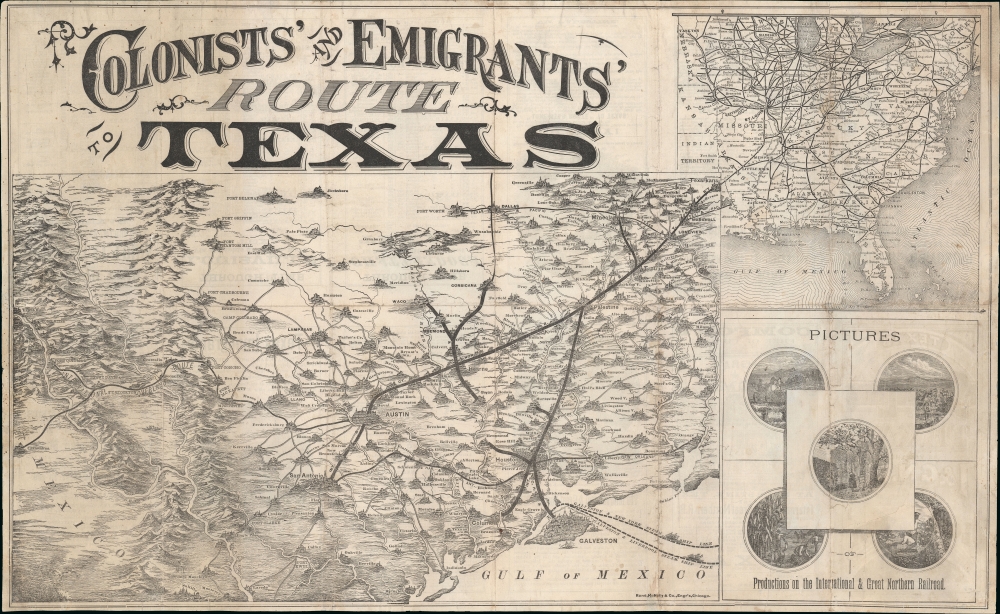
Colonists' and Emigrants' Route to Texas.
$3,000.00
Acquire
- Digital Map Information
- Suitable for large format printing
- Full resolution TIFF file
- ICC color profile embedded
- Delivered instantly via download link
A striking 1877 Rand McNally pictorial map of Texas issued to promote the International-Great Northern Railroad (IGNRR). The map follows in the wake of the post-Civil War Reconstruction Era (1863 - Mar 31, 1877) and illustrates Texas's efforts to promote emigration. The generally successful drive redefined Texas's cultural landscape and helped stabilize the state's foundering post-war economy. (more details)
First Anglo-Afghan War: One-of-a-kind manuscript map of Kandahar.
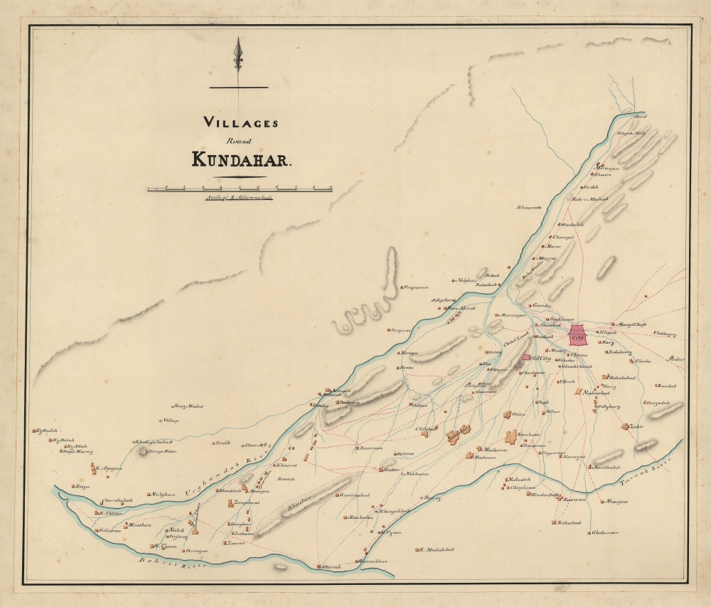
Villages of Kundahar.
$2,500.00
Acquire
- Digital Map Information
- Suitable for large format printing
- Full resolution TIFF file
- ICC color profile embedded
- Delivered instantly via download link
An exquisitely drafted manuscript map of Kandahar, Afghanistan, and its immediate environs during the First Anglo-Afghan War (1839 - 1842). Resplendently drafted and colored by the Indian Quartermaster General's Office (QMG), the map incorporates traditional Bengali handmade inks. During this conflict, Kandahar was the most important British base in Afghanistan, and the surrounding region was a theater of fierce and constantly evolving guerrilla war. The present map must be the result of direct field mapping, likely completed under wartime conditions, yet it nonetheless represents one of the earliest accurate maps of Kandahar and its immediate vicinity. This is, moreover, one of the very few surviving original manuscript maps from the First Anglo-Afghan War, the first (and not the last) major Western foray into Afghanistan. (more details)
New Bedford's Transformation from a Whaling Town to a Mill City.
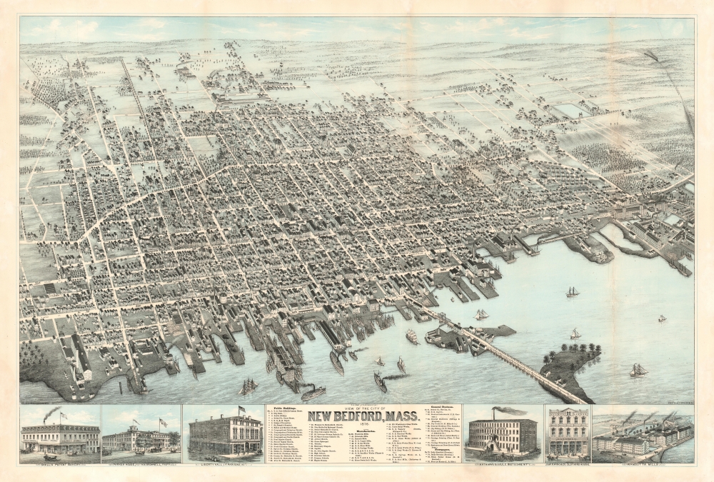
View of the City of New Bedford, Mass. 1876.
$2,200.00
Acquire
- Digital Map Information
- Suitable for large format printing
- File Size: 71.77 MB
- File Type: ZIP / TIFF
- ICC color profile embedded
- Delivered instantly via download link
This is the 1876 first state of Oakley Hoopes Bailey chromolithograph bird's-eye view of New Bedford, Massachusetts. The view captures New Bedford as it transitioned from a wealthy whaling town to a wealthy mill town. (more details)
Jesuit knowledge of the China and Korea.
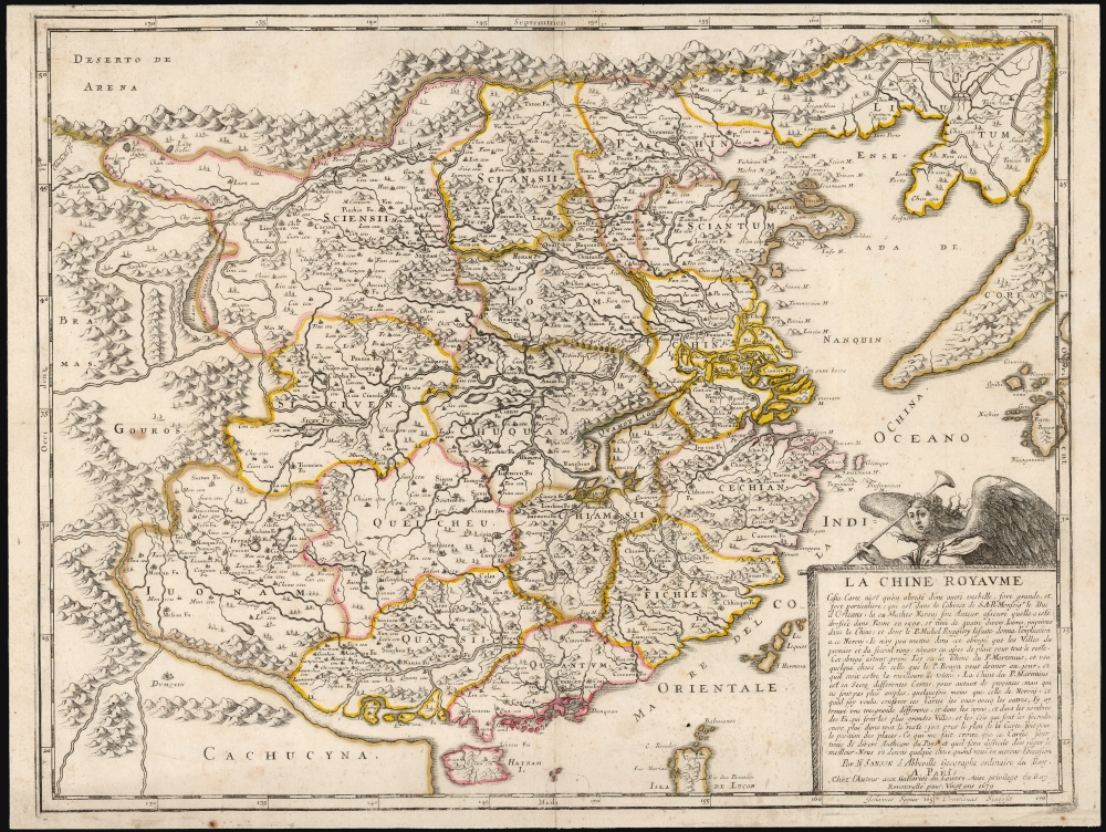
La Chine Royaume.
$2,000.00
Acquire
- Digital Map Information
- Suitable for large format printing
- Full resolution TIFF file
- ICC color profile embedded
- Delivered instantly via download link
This is Nicolas Sanson's 1656 map of China and Korea, here in its 1679 edition published by Sanson’s son, Guillaume Sanson. Although Sanson credits a notional 'Matheo Neroni' as his source, it is almost certainly Matteo Ricci, the Jesuit missionary and cosmographer, who composed an important map in 1588 based on Chinese sources. The map is notable for its unusual, sickle-shaped mapping of Korea, resulting from Ricci’s attempts to reconcile Chinese sources. (more details)
Legend Meets Latitude - the myths and facts of sunken treasure.
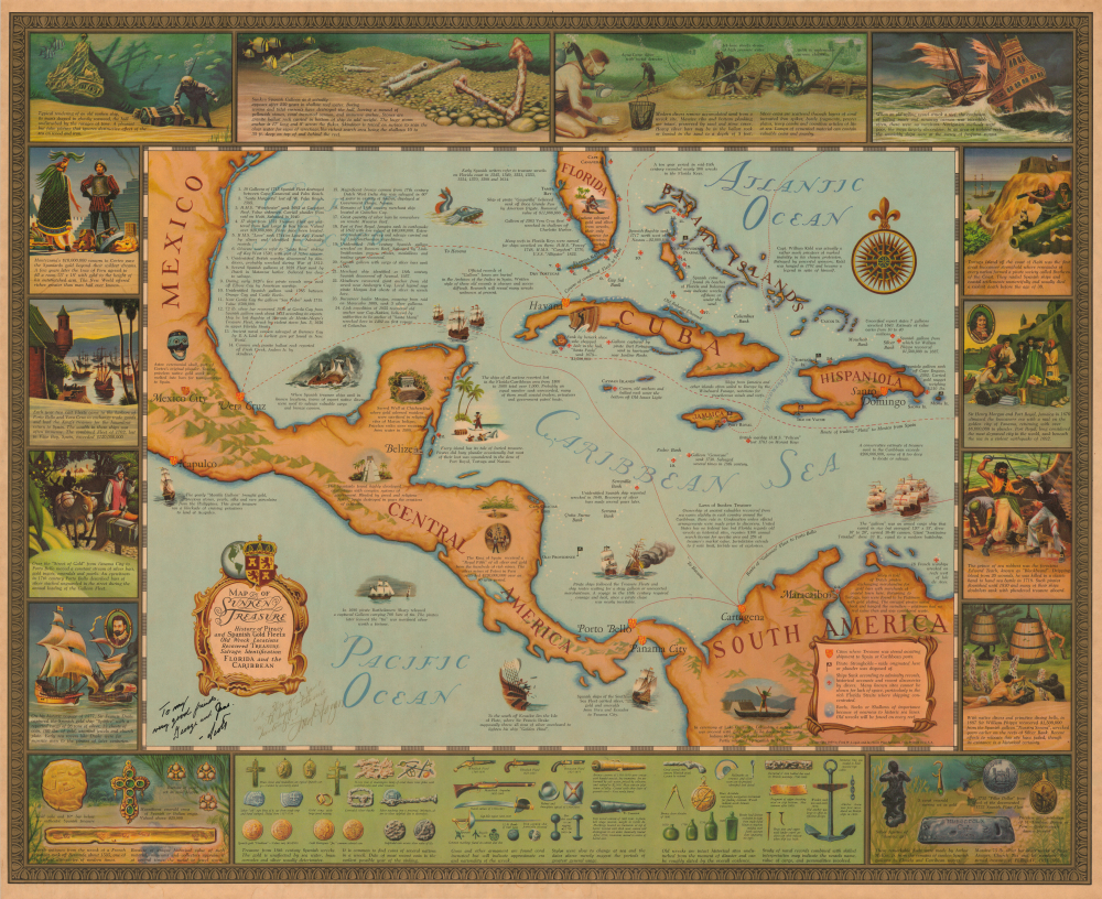
Map of Sunken Treasure. History of Piracy and Spanish Gold Fleets Old Wreck Locations Recovered Treasure Salvate, Identification Florida and the Caribbean.
$1,800.00
Acquire
A wonderful, richly-toned 1959 Jay Scott Pike and Fred Logan pictorial map of Florida, the Caribbean, and the West Indies, celebrating sunken treasure, pirate history, and underwater exploration. In general, although replete with stereotypical swashbuckling pirate imagery, the map challenges the romanticism of piracy and seeks to bridge the gap between fantasy and historical fact. The map is signed and dedicated to 'George and Jane' by both authors. Jay Scott Pike was a well-known and influential pulp comic artist known for his mastery of the female form. Fred Logan was a renowned underwater cinematographer and archeologist. (more details)
Building the Appalachian Trail in Maine.
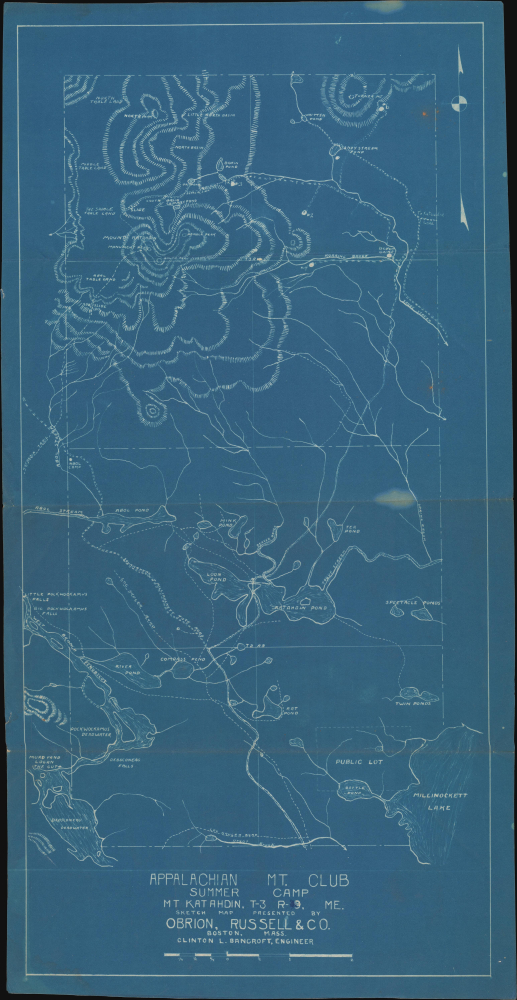
Appalachian Mt Club Summer Camp Mt Katahdin, T-3 R-9, ME.
$1,750.00
Acquire
- Digital Map Information
- Suitable for large format printing
- File Size: 7.82 MB
- File Type: ZIP / TIFF
- ICC color profile embedded
- Delivered instantly via download link
This is a scarce c. 1931 cyanotype map of the Mt. Katahdin region, now part of Baxter State Park, in Maine, produced for the insurance firm Obrion, Russell, and Company. Focusing on the summer camp of the Appalachian Mountain Club, the map is among the earliest produced during the planning stages of the Appalachian Trail and among the first to name the trail, the northern terminus of which is at Mt. Katahdin. (more details)
West Virginia's Oil Boom.
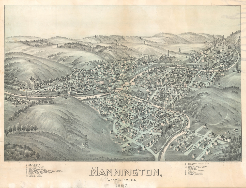
Mannington, West Virginia, 1897.
$1,500.00
Acquire
- Digital Map Information
- Suitable for large format printing
- File Size: 31.61 MB
- File Type: ZIP / TIFF
- ICC color profile embedded
- Delivered instantly via download link
This rare 1897 Thaddeus Mortimer Fowler and James B. Moyer chromolithograph bird's-eye view of Mannington, West Virginia, captures the town at the height of its oil and natural gas boom - a fleeting golden age when derricks, railways, and ambition filled the Appalachian hills. From the recently connected Baltimore and Ohio Railroad station to the Eureka Pipeline - one of America's pioneering natural gas systems - the view celebrates Mannington's emergence as a booming oil town. (more details)
Making Macao a Model Colonial City.
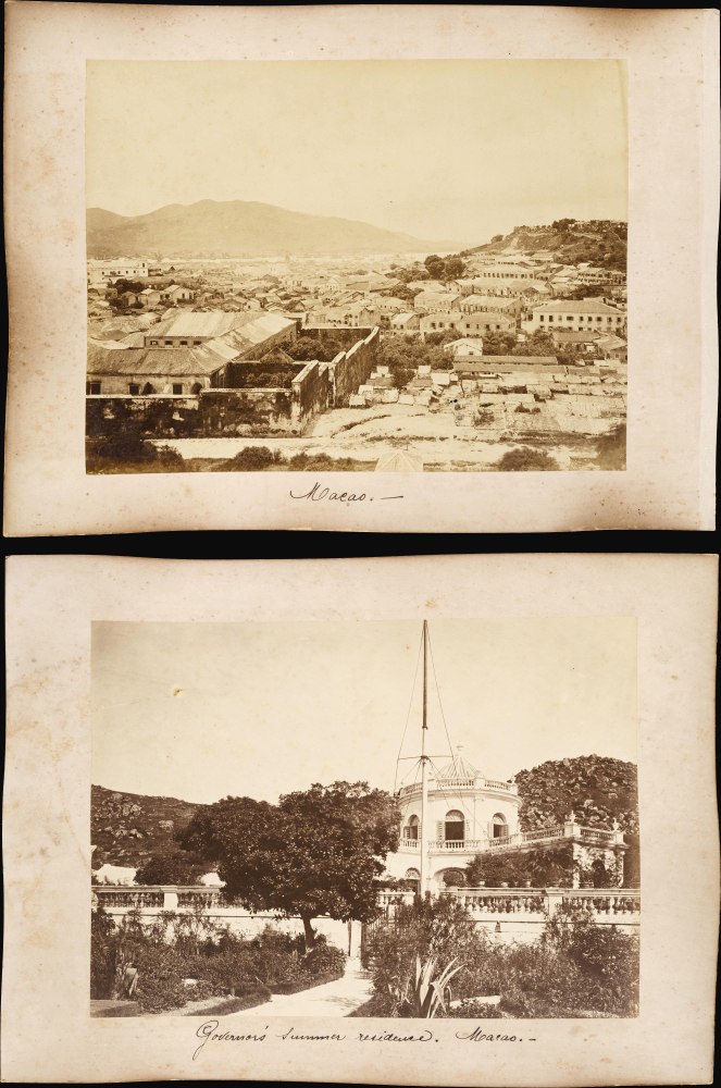
Macao / Governor's Summer Residence - Macao.
$800.00
Acquire
- Digital Map Information
- Suitable for large format printing
- File Size: 15.63 MB
- File Type: ZIP / TIFF
- ICC color profile embedded
- Delivered instantly via download link
This is a pair of unique c. 1890 albumen photographs of Macao, presenting a panorama of the city and a depiction of the Governor's Mansion, the no longer extant Flora Palace. They capture the city in a period of transition, as Portugal sought to exert more direct control over Macao (Macau) and turn it into a model colonial city. (more details)
Colossal Stone Statements of Colonial Rule.
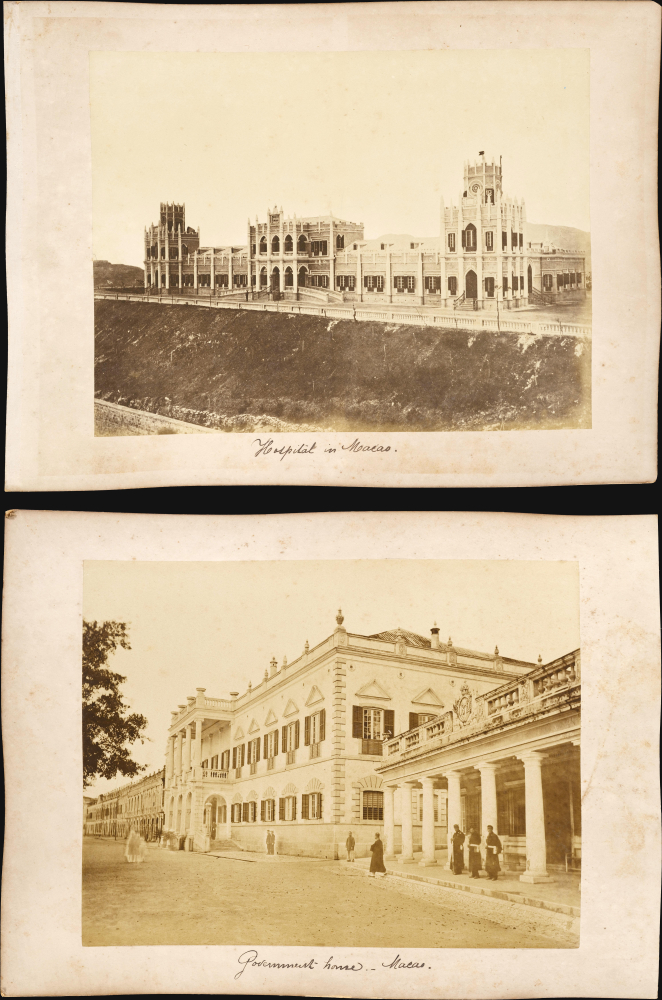
Hospital in Macao / Government-house - Macao.
$800.00
Acquire
- Digital Map Information
- Suitable for large format printing
- File Size: 16.56 MB
- File Type: ZIP / TIFF
- ICC color profile embedded
- Delivered instantly via download link
This is a c. 1890 set of albumen photographs of major colonial structures in Macao: the Hospital Militar Conde de São Januário and the Government House (Palacio do Governo). The two buildings were part of a Portuguese effort to formalize colonial rule over the territory, which had previously been leased and primarily oriented towards missionary efforts. (more details)
Colonial Macao and Guangzhou Five-Story Pagoda.
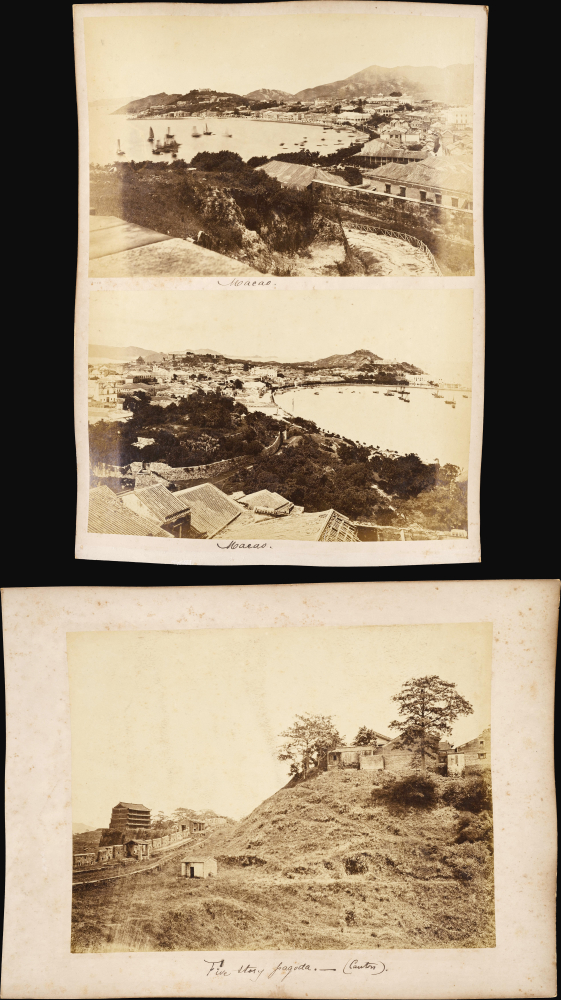
Macao. / Five Story Pagoda - (Canton).
$800.00
Acquire
- Digital Map Information
- Suitable for large format printing
- File Size: 19.24 MB
- File Type: ZIP / TIFF
- ICC color profile embedded
- Delivered instantly via download link
This is a c. 1890 set of albumen photographs of Macao and the Five-Story Pagoda in Canton (Guangzhou), taken by an unknown photographer. Together, the images offer a glimpse of the colonial and semi-colonial climate in cities in southern China during the late Qing. (more details)
Buffalo Soldiers in World War I.
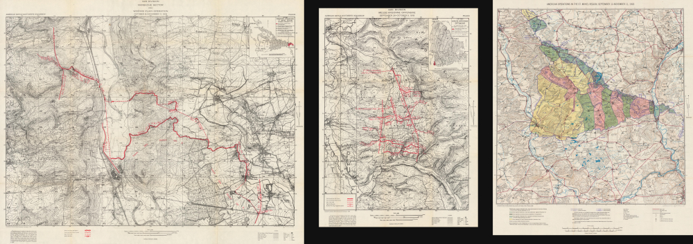
92d Division Summary of Operations in the World War.
$750.00
Acquire
- Digital Map Information
- Suitable for large format printing
- Full resolution TIFF file
- ICC color profile embedded
- Delivered instantly via download link
This is a 1944 American Battle Monuments Commission unit history of the 92nd Infantry ‘Buffalo Soldiers’ Division in World War I (1914 - 1918). The all-African American division included the celebrated Harlem Hellfighters. This history, and the over 20 others in this series, are the only official U.S. government unit histories published concerning the combat history of the WWI American Expeditionary Force. (more details)
Company Rule in Rhodesia.

Map of Rhodesia under the Administration of the British South Africa Company / Rhodesia.
$750.00
Acquire
- Digital Map Information
- Suitable for large format printing
- File Size: 17.78 MB
- File Type: ZIP / TIFF
- ICC color profile embedded
- Delivered instantly via download link
This is a scarce c. 1908 pocket map of Rhodesia during the era of Company Rule, printed by Waterlow and Sons for Edward Stanford. It reflects a period when the British South Africa Company was at the height of its influence, and when shifting relations among colonial powers were drawing the British and Portuguese closer together in Africa. (more details)
Catholic Stronghold of the Netherlands.
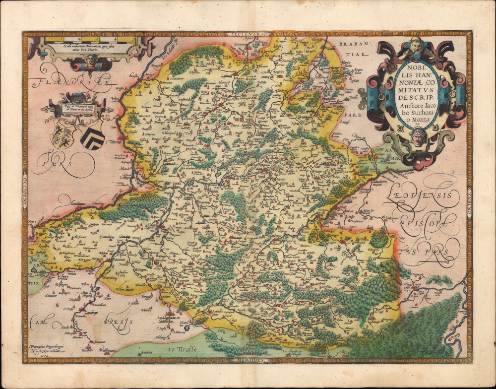
Nobilis Hannoniae Comitatus Descrip.
$275.00
Acquire
- Digital Map Information
- Suitable for large format printing
- Full resolution TIFF file
- ICC color profile embedded
- Delivered instantly via download link
This is a striking old-color example of Abraham Ortelius' 1595 map of the County of Hainaut, the westernmost part of Wallonia in today's Belgium and the eastern part of the present-day French département du Nord. Although exasperated by the tactics employed by the Habsburgs (joining the 1576 Pacification of Ghent, for instance), Hainaut was among the most faithfully Catholic parts of the Netherlands and became a stronghold for the Habsburgs during the Eighty Years' War. (more details)
Coalescence of the Conch Republic.
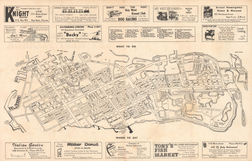
Historical Key West, Florida.
$250.00
Acquire
This is a scarce c. 1970 pictorial promotional map of Key West, Florida, published by Florida Keys Star Printing and Publishing. It was produced during a transition period, when Key West was shifting from a rather dated resort destination and military outpost to a magnet for youth counter-culture. (more details)
Tin and Rubber Booms.

Map of British Malaya including the Straits Settlements Federated Malay States and Malay States Not Included in the Federation.
$1,500.00
Acquire
- Digital Map Information
- Suitable for large format printing
- File Size: 20.62 MB
- File Type: ZIP / TIFF
- ICC color profile embedded
- Delivered instantly via download link
This scarce 1920 map of Malaya (modern-day Malaysia), issued by the Surveyor General of the Federated Malay States, captures the peninsula at a pivotal moment in its colonial and economic history - some 13 years after Britain assumed control of the northern Malay states from Siam and incorporated them as the Unfederated Malay States. Produced during the early years of the region's tin and rubber booms, this map reflects both British administrative ambition and the accelerating transformation of Malaya into one of the most productive territories in Southeast Asia. (more details)
The Peak Tram and Happy Valley Racecourse during Hong Kong’s rise to cityhood.
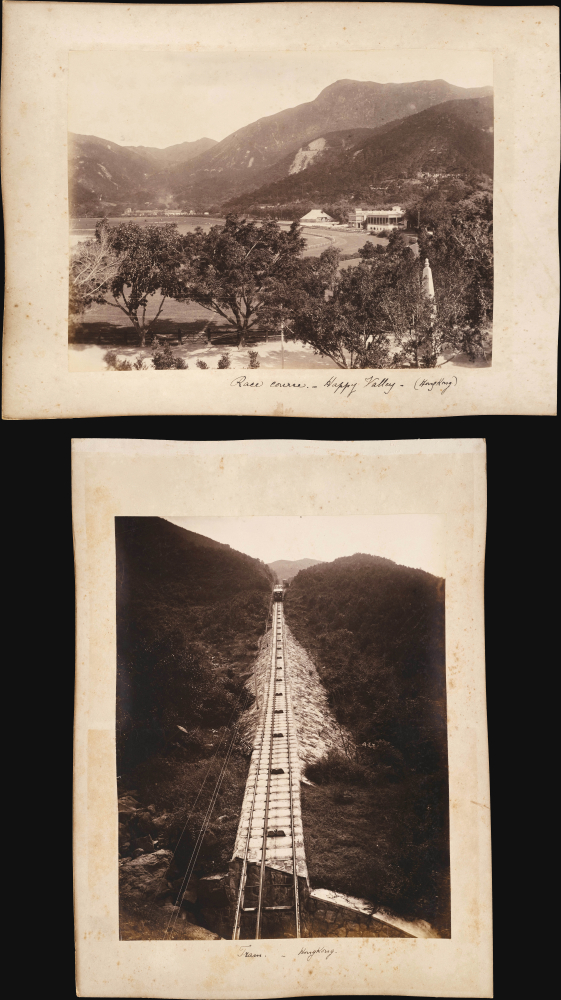
Race Course - Happy Valley - (HongKong) / Tram (HongKong).
$1,000.00
Acquire
- Digital Map Information
- Suitable for large format printing
- File Size: 16.71 MB
- File Type: ZIP / TIFF
- ICC color profile embedded
- Delivered instantly via download link
A remarkable find, this is a c. 1890 pair of back-to-back albumen photographs of two of the most distinctive sites in Hong Kong, the Happy Valley Racecourse and the Peak Tram. Together, they capture the colony's transition from a colonial trade entrepot and military outpost into a proper city with infrastructure and entertainment. (more details)
Railroad Wars: Competing with the transcontinental routes of the Northern Pacific.
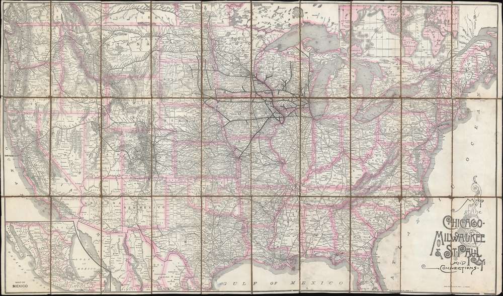
Map of the Chicago, Milwaukee and St. Paul Ry: and connections.
$950.00
Acquire
- Digital Map Information
- Suitable for large format printing
- File Size: 69.34 MB
- File Type: ZIP / TIFF
- ICC color profile embedded
- Delivered instantly via download link
This is a large-format 1893 railroad map of the United States illustrating the Chicago, Milwaukee and St. Paul Railway (CSMP), and its national connections. The map appeared at the height of the Railroad Wars, a period of fierce competition and expansion between rival railroad networks. It illustrates attempts by the CMSP to compete with the Northern Pacific's transcontinental service. (more details)
Locations of the Union 'Anaconda' blockade of the Confederacy.
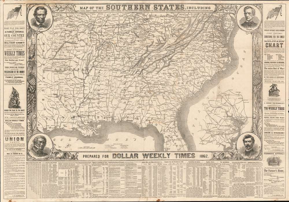
Map of the Southern States, Including Rail Roads, County Towns, State Capitals, County Roads, the Southern Coast from Delaware to Texas Showing the Harbors, Inlets, Forts and Position of Blockading Ships.
$950.00
Acquire
- Digital Map Information
- Suitable for large format printing
- File Size: 67.78 MB
- File Type: ZIP / TIFF
- ICC color profile embedded
- Delivered instantly via download link
This is an 1862 map of the Southern United States during the American Civil War published as a supplement to the pro-Union Cincinnati Dollar Weekly Times. Significantly, the map illustrates the specific locations of Union ships blockading the Confederate coast - a naval strangulation strategy known as the Anaconda Plan. (more details)
Modernization of Taipai as jewel of a colonial empire.
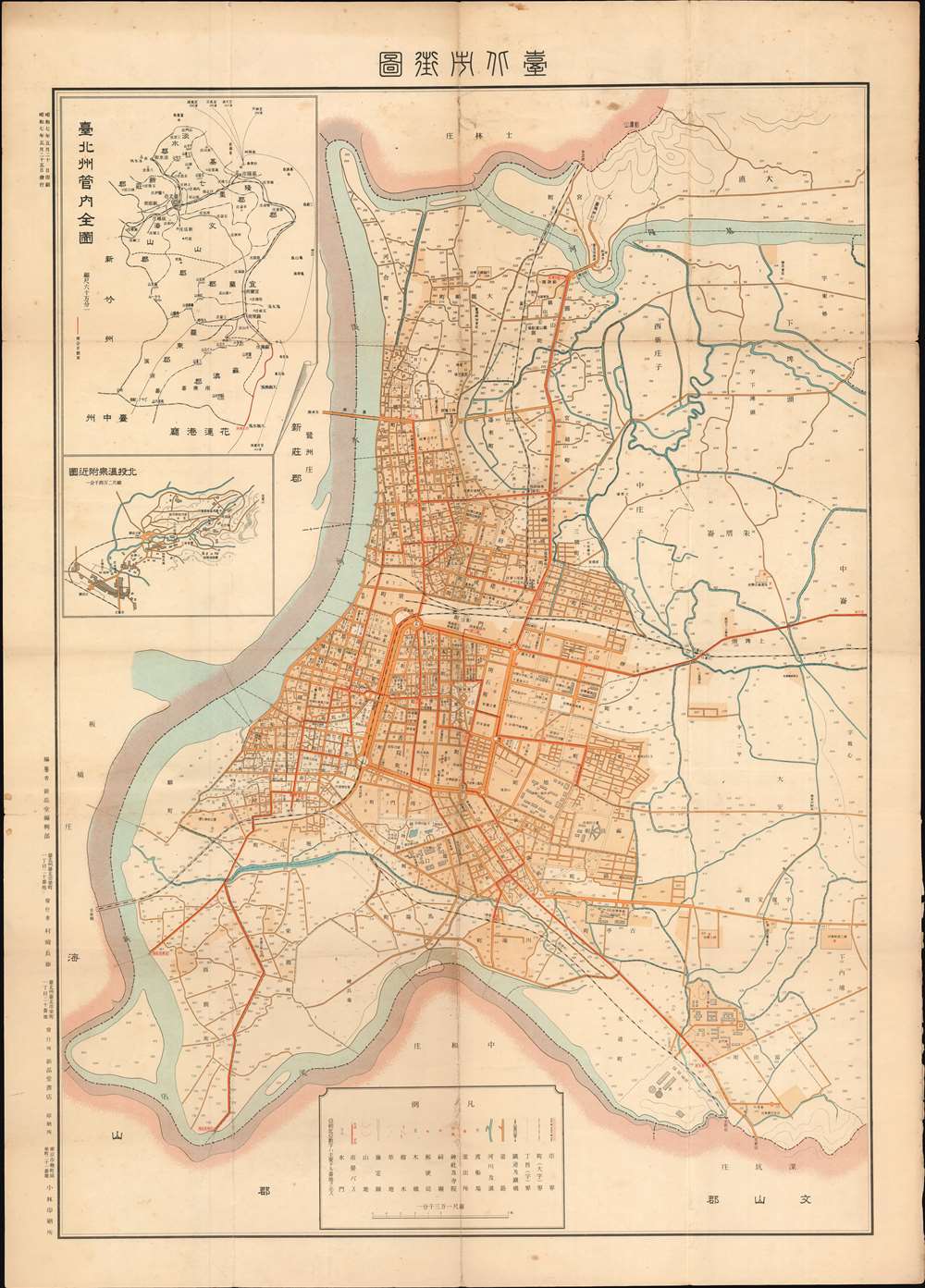
Full State Administration Map of Taipei. / Taipei City Street Map. / 臺北州管内全圖 / 臺北市街圖
$950.00
Acquire
- Digital Map Information
- Suitable for large format printing
- File Size: 28.77 MB
- File Type: ZIP / TIFF
- ICC color profile embedded
- Delivered instantly via download link
This is an elegant Showa 7 or 1932 map of Taipei, Taiwan, issued by Murasaki Chōei (村崎長昶) for sale in his Xin Gaotang Bookstore (新高堂書店). The map captures Taipei’s breakneck modernization as the political and administrative center of Japanese-dominated colonial Taiwan. (more details)