
Hydrographic Office United States Navy (sold)
United States Hydrographic Office (1866 - 1962) was a branch of the U.S. Navy that prepared and published maps, charts, and nautical books to aid in navigation. Before the establishment of the Hydrographic Office in 1866, U.S. navigators were almost entirely dependent on British charts. There had been a few private enterprises that had prepared and published charts, but none had done so profitably. The Office was established 'for the improvement of the means of navigating the vessels of the Navy safely and of the mercantile marine, by providing, under the authority of the Secretary of the Navy, accurate and cheap nautical charts, sailing directions, navigators, and manuals of instructions for the use of all vessels of the United States, and for the benefit and use of navigators generally.' This way the Navy Department could furnish navy and merchant ships with charts illustrating the results of surveys and explorations undertaken by naval officers. The charts were priced to cover the cost of paper and printing alone, not preparation. Its main objective was to survey foreign coasts, as the Coast and Geodetic Surveys were responsible for surveying domestic waters. The Hydrographic Office was transferred from the Department of the Navy to the Department of Defense in 1949 and was replaced by the Naval Oceanographic Office in 1962.
Island Paradise with some of the world's greatest fortified wines.
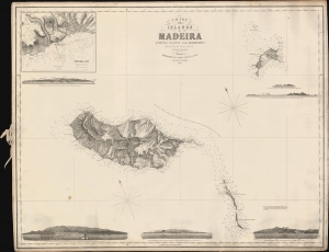
Chart of the Islands of Madeira Porto Santo and Dezerta.
sold
- Digital Map Information
- Suitable for large format printing
- File Size: 823.41 MB
- File Type: ZIP / TIFF
- ICC color profile embedded
- Delivered instantly via download link
A scarce 1863 James Imray nautical map of Madeira and nearby islands, based on a survey by Royal Navy officer Alexander Vidal. (more details)
Enormous rare nautical chart detailing south Florida.
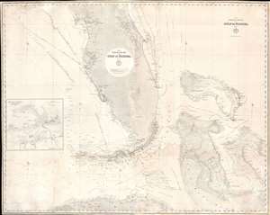
The Bahama Banks and Gulf of Florida, Sheet 1.
sold
- Digital Map Information
- Suitable for large format printing
- File Size: 102.17 MB
- File Type: ZIP / TIFF
- ICC color profile embedded
- Delivered instantly via download link
A most uncommon 1873 U.S. Navy Hydrographic Office nautical chart or maritime map of Florida and the Bahamas. Coverage embraces the lower two-thirds of peninsular Florida, the Florida Strait as far as Cuba, and the northern Bahamas. An inset in the lower left details Key West and it's vicinity from the 1851 U.S. Cost Survey of J. R. Rodgers. The Bahamas are superbly detailed with thousands of soundings - underscoring the danger of navigating these shallow waters. This chart follows in the lineage of Edmund March Blunt's great chart of 1844 - and is indicative of that commercial cartographer's long-standing influence on official naval chart making. (more details)
Manuscript highlighting of hazards in the Rio de la Plata.
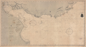
East Coast of South America. Rio de la Plata and Approaches.
sold
- Digital Map Information
- Suitable for large format printing
- File Size: 83.98 MB
- File Type: ZIP / TIFF
- ICC color profile embedded
- Delivered instantly via download link
A fascinating working nautical chart, this is an 1888 U.S. Navy Hydrographic Office map of the Rio de la Plata, South America. The map features manuscript annotations following several voyages detailing lights and hazards. It offers unique insight into the navigation of one of the world's most famous estuaries. (more details)
Charting the Rio de la Plata.
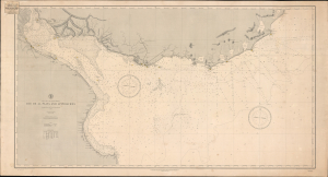
Rio de la Plata and Approaches.
sold
- Digital Map Information
- Suitable for large format printing
- Full resolution TIFF file
- ICC color profile embedded
- Delivered instantly via download link
This is the June 1888 edition of the United States Hydrographic Office's nautical chart of the Río de la Plata and its Atlantic approaches, bearing the label of New York nautical instrument makers and chart agents D. Eggert's Sons. Covering the passage to Buenos Aires past Montevideo, the chart emphasizes the soundings, banks, and navigational lights essential to negotiating this broad, shallow estuary. Its commercial label links the Navy's chart-production program to the private businesses that supplied navigators with charts, chronometers, and instruments. (more details)
A Great Guide to the Gulf.
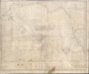
North America Gulf Coast of the United States Key West to the Mississippi River.
sold
- Digital Map Information
- Suitable for large format printing
- File Size: 44.69 MB
- File Type: ZIP / TIFF
- ICC color profile embedded
- Delivered instantly via download link
A scarce and impressive chart or nautical map of the U.S. coast of the Gulf of Mexico from the Mississippi River to the Florida Keys, originally produced by the U.S. Navy Hydrographic Office in 1889 and updated to 1908. It reflects improvements in hydrography and bathymetry, noting fathoms to a considerable depth in open ocean, as well as the development of the coast itself, with a proliferation of lighthouses. Moreover, it manifests several handwritten annotations and wear consistent with extensive use at sea. (more details)
Unique proof state of a survey of Honolulu with connections to the Hawaiian Revolution.
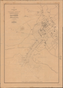
North Pacific Ocean, Hawaiian Islands, Oahu, Honolulu Harbor.
sold
- Digital Map Information
- Suitable for large format printing
- File Size: 1595.22 MB
- File Type: ZIP / TIFF
- ICC color profile embedded
- Delivered instantly via download link
A fascinating 1892 proof-state of the first U.S. survey of Honolulu Harbor, Hawaii, completed under Captain Gilbert Wiltse in 1892. Replete with manuscript corrections and annotations, this map offers unique insight into the processes behind U.S. Navy Hydrographic office survey publication. Historically, this map appeared within the context of potential U.S.-Hawaiian Annexation and the 1893 Hawaiian Revolution - in which Wiltse played a role. (more details)
Presents the state of international communication via submarine cables.
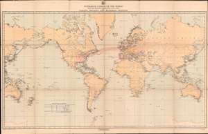
Submarine Cables of the World with the Principal Connecting Land Lines also Coaling, Docking, and Repairing Stations.
sold
- Digital Map Information
- Suitable for large format printing
- File Size: 54.93 MB
- File Type: ZIP / TIFF
- ICC color profile embedded
- Delivered instantly via download link
A striking look at the state of global communication on the eve of the twentieth century, this is an 1896 H.G. Brewer map of the world illustrating the network of submarine cables. The map depicts the world on a Mercator Projection from the Philippines to the Caroline Islands and the Coral Sea and from Greenland to Antarctica. Telegraph cables are highlighted in red. (more details)
Published less than a year before the United States annexed Hawaii.
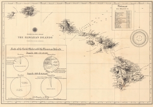
North Pacific Ocean. the Hawaiian Islands.
sold
- Digital Map Information
- Suitable for large format printing
- File Size: 16.83 MB
- File Type: ZIP / TIFF
- ICC color profile embedded
- Delivered instantly via download link
This is an 1897 Bureau of the American Republics map of the Hawaiian Islands published in August 1897, less than a year before the United States annexed Hawaii in July 1898. (more details)
Depicts numerous Caribbean islands, including Martinique, Saint Lucia, Puerto Rico, and the Virgin Islands.
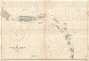
The West India Islands Haiti to Saint Lucia.
sold
- Digital Map Information
- Suitable for large format printing
- File Size: 23.73 MB
- File Type: ZIP / TIFF
- ICC color profile embedded
- Delivered instantly via download link
This is a 1917 U.S. Hydrographic Office nautical chart or maritime map of the Lesser Antilles. The map depicts the region from the extreme eastern part of the Dominican Republic to Saint Lucia and includes Puerto Rico, the Virgin Islands, Montserrat, Antigua and ... (more details)
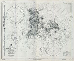
Japan Formosa Strait Pescadores Islands Hatta Retto (Rover Group).
sold
- Digital Map Information
- Suitable for large format printing
- File Size: 20.67 MB
- File Type: ZIP / TIFF
- ICC color profile embedded
- Delivered instantly via download link
This is an uncommon 1941 World War II era map or nautical chart of Hatta-Retto or the Rover Group by the U.S. Navy Hydrographic Office. This chart covers the Islands of Pachau and Tsiang. Hatta-Retto or modern day Wang-an subdivision is part of the Pescadores ... (more details)
Published on board the U.S.S. Bowditch near the end of World War II.
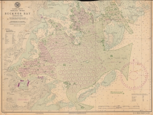
Nansei Shoto. Okinawa Shima. Buckner Bay. (Nakagusuku Wan).
sold
- Digital Map Information
- Suitable for large format printing
- File Size: 49.17 MB
- File Type: ZIP / TIFF
- ICC color profile embedded
- Delivered instantly via download link
This is a 1945 U.S. Navy Hydrographic Office nautical chart or map of Buckner Bay or Nakagusuku Wan, Okinawa illustrating preparations for Operation Downfall, the planned invasion of Japan's Home Islands. Significantly, this is one of the few surviving charts published on board the U.S.S. Bowditch. (more details)
Published on board the U.S.S. Bowditch in August 1945 just before the end of World War II.
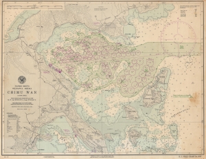
Nansei Shoto. Okinawa Shima. Chimu Wan (Kinmu Wan).
sold
- Digital Map Information
- Suitable for large format printing
- File Size: 42.74 MB
- File Type: ZIP / TIFF
- ICC color profile embedded
- Delivered instantly via download link
This is a 1945 U.S. Navy Hydrographic Office nautical chart or map of Chimu Wan, Okinawa, illustrating preparations for Operation Downfall, the planned invasion of Japan's Home Islands, through an ongoing naval buildup. Significantly, this is one of the few surviving charts published on board the U.S.S. Bowditch. It is poignant that the last update on this map is August 5, the day before the first atomic bomb was dropped on Hiroshima, underscoring uncertainty surrounding the war's potential end. (more details)
WWII Map of the Philippines.
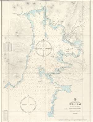
Philippine Islands. West Coast of Luzon. Subic Bay.
sold
- Digital Map Information
- Suitable for large format printing
- File Size: 45.23 MB
- File Type: ZIP / TIFF
- ICC color profile embedded
- Delivered instantly via download link
This is a 1945 U.S. Navy Hydrographic map of Subic Bay on the west coast of Luzon in the Philippine Islands. The map depicts the region from Sampaloc Point to the Santa Rita Valley and from Subic City to Mayagao Point. Highly detailed, myriad depth soundings are noted throughout. Points, ports, and shoals are labeled. The town of Subic is situated at the head of the bay, while Olongapo is located along the bay's eastern coast. Numerous rivers are identified, as are mountains and swamps. (more details)
A U.S. Navy chart dating from two months before the end of World War II in the Pacific.
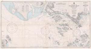
South China Sea Singapore Strait Western Part.
sold
- Digital Map Information
- Suitable for large format printing
- File Size: 21.61 MB
- File Type: ZIP / TIFF
- ICC color profile embedded
- Delivered instantly via download link
This is a 1945 U.S. Navy Hydrographic Office nautical chart or maritime map of the Singapore Strait. The map depicts the region from the Malacca Strait to the city of Singapore and from Johore and Singapore Island to Great Karimon Island and several smaller ... (more details)
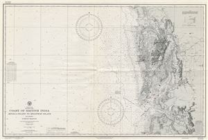
Indian Ocean Arabian Sea Coast of British India Arnala Island to Khanderi Island including Bombay Harbor.
sold
- Digital Map Information
- Suitable for large format printing
- File Size: 32.22 MB
- File Type: ZIP / TIFF
- ICC color profile embedded
- Delivered instantly via download link
This is a scarce World War II (WWII) era 1945 map of Bombay (Mumbai) harbor and vicinity issued by the U. S. Navy Hydrographic Office. It covers the western coast of what was then British India, from Arnala Island to Khanderi Island and inland as far as ... (more details)
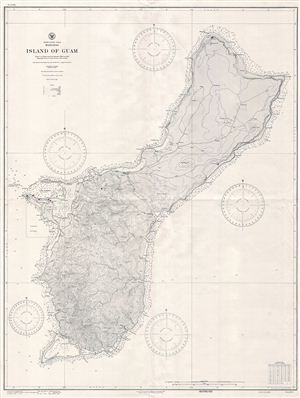
North Pacifc Ocean Marianas Island of Guam.
sold
- Digital Map Information
- Suitable for large format printing
- File Size: 38.22 MB
- File Type: ZIP / TIFF
- ICC color profile embedded
- Delivered instantly via download link
This is a scarce World War II (WWII) era 1945 map of Guam issued by the U.S. Navy Hydrographic Office shortly after the 1944 recapture of the island by U.S. military forces. Guam, long an important stopping point for trans-Pacific voyages, was nominally ... (more details)
Bikini Atoll Nuclear Tests participant archive.
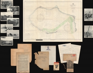
This is a 1946 document archive relating to Operation Crossroads, the first post-war nuclear test conducted by the United States. Compiled by W. Ward Fowler (one of the scientists who participated in the tests), these documents provide insight into a critical moment in the immediate aftermath of World War II (1939 - 1945) that helped usher in the Cold War. (more details)