

Le Royaume de Portugal et Algarve. / Kaart van Portugaal en Algarve.
sold
- Digital Map Information
- Suitable for large format printing
- Full resolution TIFF file
- ICC color profile embedded
- Delivered instantly via download link
A stunning map of Portugal first drawn by Daniel de la Feuille in 1706. Covers the entire territory of Portugal with the Algarve shown as a separate kingdom. Also includes adjoining parts of Spain. Flanked on either side with 13 fortification plan, from top ... (more details)

Royaume de Suede. / Kaart van Sweden.
sold
- Digital Map Information
- Suitable for large format printing
- DPI: 300
- File Size: 4.27 MB
- File Type: ZIP / TIFF
- ICC color profile embedded
- Delivered instantly via download link
A stunning map of Scandinavia first drawn by Daniel de la Feuille in 1706. Covers all of Norway, Sweden and Finland along with parts of modern day Latvia, Estonia and Russia. Surrounded by 12 overhead plans of important Scandinavian cities. From top left: ... (more details)

Generale Kaart van Spanjen. / Le Royaume D'Espagne avec ses Confins.
sold
- Digital Map Information
- Suitable for large format printing
- DPI: 300
- File Size: 2.65 MB
- File Type: ZIP / TIFF
- ICC color profile embedded
- Delivered instantly via download link
A stunning map of Spain and Portugal first drawn by Daniel de la Feuille in 1706. Depicts the entirety of Iberia including the Balearic Islands, parts of France, and northern Africa. Surrounded on either side by the armorial crests of 16 Spanish regions. ... (more details)
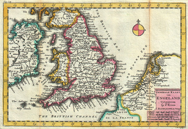
Generale Kaart van Engeland.
sold
- Digital Map Information
- Suitable for large format printing
- DPI: 300
- File Size: 3.15 MB
- File Type: ZIP / TIFF
- ICC color profile embedded
- Delivered instantly via download link
A stunning map of England first drawn by Daniel de la Feuille in 1706. Depicts the entirety of England with parts of Ireland, Scotland and the Netherlands. Dutch language title in lower right quadrant. This is Paul de la Feuille's 1747 reissue of his ... (more details)
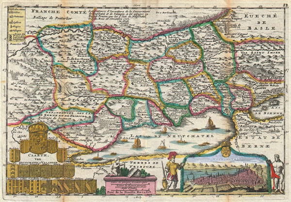
Caarte, van Neufchatel et Valangin.
sold
- Digital Map Information
- Suitable for large format printing
- DPI: 300
- File Size: 3.98 MB
- File Type: ZIP / TIFF
- ICC color profile embedded
- Delivered instantly via download link
A stunning map of Neuchâtel, Switzerland first drawn by Daniel de la Feuille in 1706. Depicts the stunning Lake of Neuchâtel and the surrounding region. Neuchâtel, located in the Canton of Neuchâtel, is Switzerland's largest lake. Twelve tiny ... (more details)

Carte Nouvelle D'Ecosse. / Nieuwe Kaart van Schotland.
sold
- Digital Map Information
- Suitable for large format printing
- DPI: 300
- File Size: 4.03 MB
- File Type: ZIP / TIFF
- ICC color profile embedded
- Delivered instantly via download link
A stunning map of Scotland first drawn by Daniel de la Feuille in 1706. Depicts the entirety of Scotland surrounded by views of fourteen Scottish cities, including Edembourg (Edinburgh), Dundee, St. Andrews, Sterling, Dunoter, Aberdeen, Glascow ... (more details)

Johnson's Nebraska Dakota, Colorado Idaho & Kansas.
sold
- Digital Map Information
- Suitable for large format printing
- File Size: 9.94 MB
- File Type: ZIP / TIFF
- ICC color profile embedded
- Delivered instantly via download link
This is Johnson and Ward's rare 1863 map of the territories of Idaho, Dakota, Nebraska Colorado and Kansas. Depicts this area during an interesting transitional phase shortly following the formation of Idaho in 1863 but predating the formation ... (more details)

Johnson's Florida.
sold
- Digital Map Information
- Suitable for large format printing
- File Size: 8.81 MB
- File Type: ZIP / TIFF
- ICC color profile embedded
- Delivered instantly via download link
A beautiful example of A. J. Johnson and Ward's 1863 map of Florida. This rare map offers a fascinating snapshot of this secessionist state shortly following the outbreak of the American Civil War. Map shows Florida in full with color coding ... (more details)

Johnson's California, with Territories of Utah, Nevada, Colorado, New Mexico and Arizona.
sold
- Digital Map Information
- Suitable for large format printing
- File Size: 15.32 MB
- File Type: ZIP / TIFF
- ICC color profile embedded
- Delivered instantly via download link
This is Johnson and Ward's 1864 map of the American southwest. Depicts the state of California and the territories of Nevada, Utah, Colorado, Arizona and New Mexico. Offers superb detail noting mining districts, emigrant trails, the Santa Fe ... (more details)
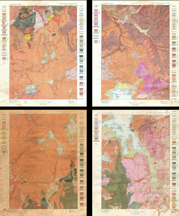
Yellowstone National Park, Gallatin Sheet. / Yellowstone National Park - Wyoming, Lake Sheet / Yellowstone National Park - Wyoming, Shoshone Sheet. / Yellowstone National Park, Canyon Sheet.
sold
- Digital Map Information
- Suitable for large format printing
- File Size: 15.76 MB
- File Type: ZIP / TIFF
- ICC color profile embedded
- Delivered instantly via download link
This is the rare U.S. Geological Survey of Yellowstone National Park in four sheets. Depicts the entire park in considerable detail noting topography, hot springs, rivers and creeks, marshes, geysers, lakes and ponds. Also specifically ... (more details)

Yellowstone National Park, Gallatin Sheet. / Yellowstone National Park - Wyoming, Lake Sheet / Yellowstone National Park - Wyoming, Shoshone Sheet. / Yellowstone National Park, Canyon Sheet.
sold
- Digital Map Information
- Suitable for large format printing
- File Size: 35.72 MB
- File Type: ZIP / TIFF
- ICC color profile embedded
- Delivered instantly via download link
This is the rare U.S. Geological Survey of Yellowstone National Park in four sheets. Depicts the entire park in considerable detail noting topography, trails, hot springs, rivers and creeks, marshes, geysers, lakes, ponds, roads, and ... (more details)

Morbihan / Nouvel Atlas National 1833.
sold
- Digital Map Information
- Suitable for large format printing
- DPI: 300
- File Size: 15.56 MB
- File Type: ZIP / TIFF
- ICC color profile embedded
- Delivered instantly via download link
A rare and very attractive 1833 map of the Morbihan region of Bretagne (Breton or Brittany), France. Covers the entire Province from the Department de Finisterre to the Department de La Loire. Morbihan is an exceptionally beautiful ... (more details)
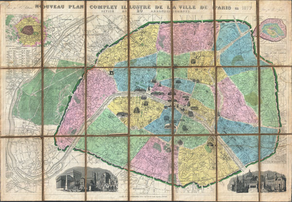
Nouveau Plan Complet Illustre dela Ville de Paris en 1877 Divise en 20 Arrondissements.
sold
- Digital Map Information
- Suitable for large format printing
- File Size: 39.57 MB
- File Type: ZIP / TIFF
- ICC color profile embedded
- Delivered instantly via download link
A spectacular 1877 folding pocket map of Paris, France by the French cartographer A. Vuillemin. Covers the entire city and environs in spectacular detail at the level of individual streets, bridges and buildings. Divided according ... (more details)
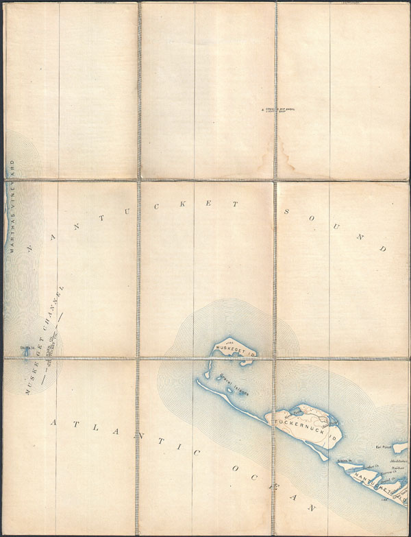
Massachusetts Gloucester Sheet.
sold
- Digital Map Information
- Suitable for large format printing
- File Size: 7.53 MB
- File Type: ZIP / TIFF
- ICC color profile embedded
- Delivered instantly via download link
This is a rare example of the c. 1887 U.S. Geological Survey map of the Muskeget Channel. Extends eastward from Marthas Vineyard to include Muskeget Island, Tuckernuck Island, and the eastern parts of Nantucket. Offers copious ... (more details)
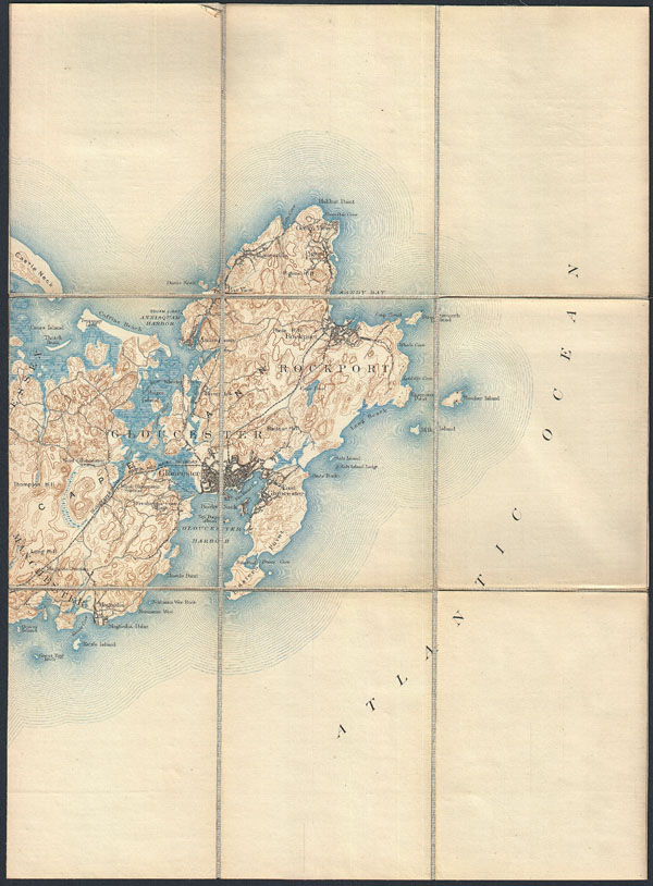
Massachusetts Muskeget Sheet.
sold
- Digital Map Information
- Suitable for large format printing
- File Size: 8.86 MB
- File Type: ZIP / TIFF
- ICC color profile embedded
- Delivered instantly via download link
This is a rare example of the c. 1887 U.S. Geological Survey map of Cape Ann. Extends eastward from Manchester and Essex to include Gloucester, Rockport, Lanesville and Annisquam. Offers copious topographical detail as well as ... (more details)
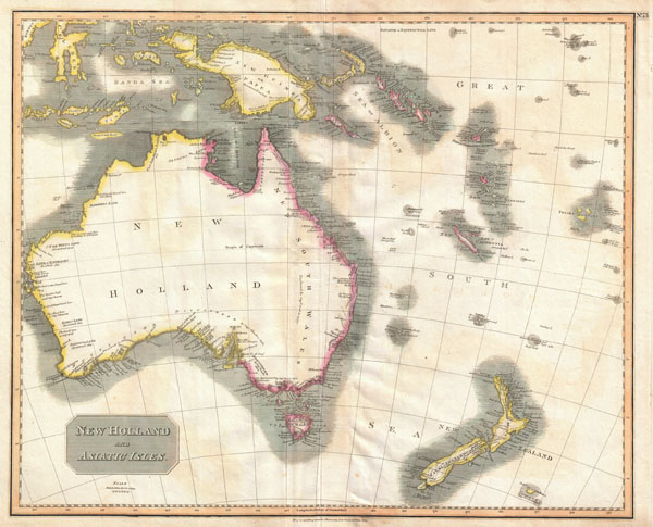
New Holland and Asiatic Isles.
sold
- Digital Map Information
- Suitable for large format printing
- DPI: 300
- File Size: 21.94 MB
- File Type: ZIP / TIFF
- ICC color profile embedded
- Delivered instantly via download link
This a wonderful example of John Thompson's 1814 Map of Australia, New Zealand, New Guinea and parts of Polynesia. Extends from Western Australia and the Celebes eastward as far as New Caledonia and the Fiji Islands. Extends ... (more details)

Orbis Romani, pars occidentalis. Auspiciis Serenissimi Principis Ludovici Philippi, Aurelianorum Ducis publici juris facta. Auctor d'Anville, Regiae Humaniorium Litterarum Academiae, et Scientiarum Petropolitanae Socius, Celsitudinique Serenissimae a Secretis. MDCCLXIII.
sold
- Digital Map Information
- Suitable for large format printing
- Full resolution TIFF file
- ICC color profile embedded
- Delivered instantly via download link
This is the stunning western sheet from Jean Baptiste Bourguignon D'Anville's two map set depicting the Roman Empire. Depicts the western portion of the Roman Empire from Italy and Dalmatia westward to include all of Spain, ... (more details)
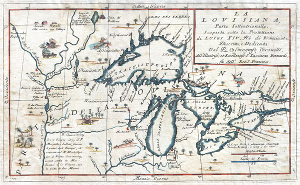
La Louisiana, Parte Settentrionalle, Scoperta sotto la Protettione di Luigi XIV, Re di Francia et Descritta, e Dedicata Dal P. Cosmografo Coronelli, All'Illustriss, et Eccellentiss, S. Zaccaria Bernardi su dell Ecc. S. Francesco.
sold
- Digital Map Information
- Suitable for large format printing
- DPI: 300
- File Size: 6.87 MB
- File Type: ZIP / TIFF
- ICC color profile embedded
- Delivered instantly via download link
This exceedingly rare 1694 map by Vincenzo Coronelli is the most important depiction of the Great Lakes and the headwaters of the Mississippi River to appear in the late 17th century. Covers all five Great Lakes and ... (more details)

Map of Chesapeake Bay from the head of the bay to the mouth of the Potomac River.
sold
- Digital Map Information
- Suitable for large format printing
- File Size: 34.09 MB
- File Type: ZIP / TIFF
- ICC color profile embedded
- Delivered instantly via download link
This is an attractive 1857 U.S. Coast Survey chart or nautical map or the central part of the Chesapeake Bay, Maryland. This is chart no. 2 of the three charts created to detail the entire Chesapeake Bay. Covers ... (more details)

Kamatchka.
sold
- Digital Map Information
- Suitable for large format printing
- File Size: 28.57 MB
- File Type: ZIP / TIFF
- ICC color profile embedded
- Delivered instantly via download link
This is a rare Japanese map of the Malay Peninsula and Singapore issued during World War II. Depicts the peninsula in considerable detail noting both physical and political elements. Includes air and sea routes ... (more details)