
Bringing the Baroque into the Scientific Age: Precursor to Zurner's famous map.
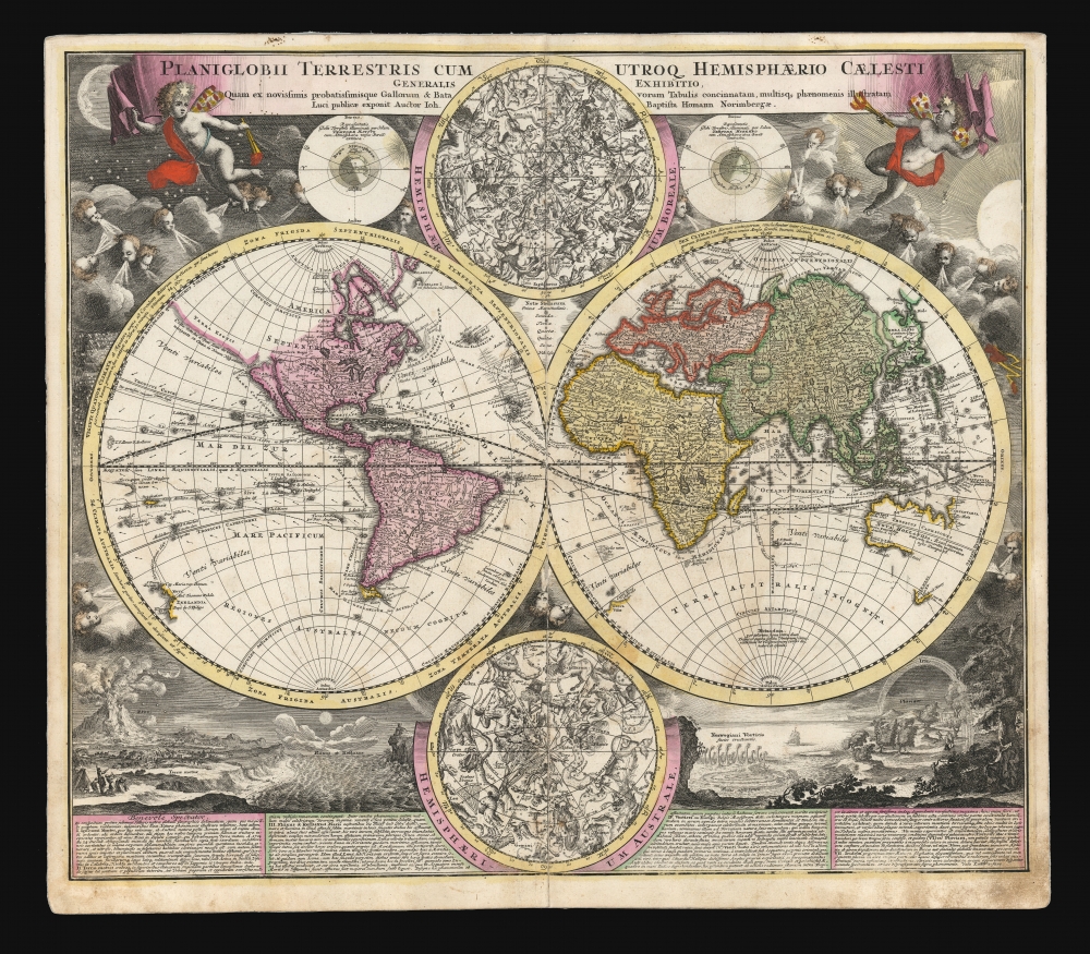
Planiglobii Terrestris Cum Utroq. Hemisphaerio Caelesti Generalis Exhibitio.
sold
- Digital Map Information
- Suitable for large format printing
- DPI: 600
- File Size: 77.87 MB
- File Type: ZIP / TIFF
- ICC color profile embedded
- Delivered instantly via download link
This is the scarce first plate of Johann Baptist Homann's 1707 map of the world in a double hemisphere projection. It is both long misunderstood and mis-identified: it was a novel and influential adaptation of up-to-date cartographic information (including the explorations of Dampier and the studies of Edmund Halley). Moreover, the present example is the first plate, engraved by or for the elder Homann in 1707. Most examples of the map of this title appearing on the market are a different plate, engraved by Homann's son no earlier than 1724 (identified by the Imperial privilege.) Thus the present example is the most desirable of Homann's world maps. (more details)
Ukiyo-e: The Other Side of Japan's Foreign Trade.

佛蘭西大湊諸國交易圖 / [Illustration of a Large French Port Trading with Various Nations].
sold
- Digital Map Information
- Suitable for large format printing
- Full resolution TIFF file
- ICC color profile embedded
- Delivered instantly via download link
A scarce, vivid ukiyo-e woodblock triptych from the last days of the Tokugawa or Edo period. This is Tsukioka Yoshitoshi's c. 1866 view of ships in a French port. It fits squarely within prints of the era focusing on foreigners (a topic of great curiosity in Japan at the time) but is unusual for depicting a purely foreign scene rather than the more common subject of foreigners in Yokohama. (more details)
Details the U.S. government forced internment of over 100,000 Japanese Americans.

Japanese Evacuation from the West Coast: Final Report.
sold
This is a 1943 U.S. government report detailing the forced internment of west-coast Japanese Americans during World War II (1939 - 1945). The reports offers disturbing insights into the racist policies and unfounded paranoia that gripped the nation in the wake of the 1941 attack on Pearl Harbor. (more details)
Linchpin of Southern China.

廣州市街詳圖 / [Detailed Street Map of Guangzhou].
sold
- Digital Map Information
- Suitable for large format printing
- File Size: 18.65 MB
- File Type: ZIP / TIFF
- ICC color profile embedded
- Delivered instantly via download link
A scarce c. 1921 city map or plan of Guangzhou (Canton), China. The city's history was tumultuous at this time, undergoing a seemingly endless string of revolutions, attempted revolutions, and battles between rival political factions and warlords. (more details)
A world in transition.
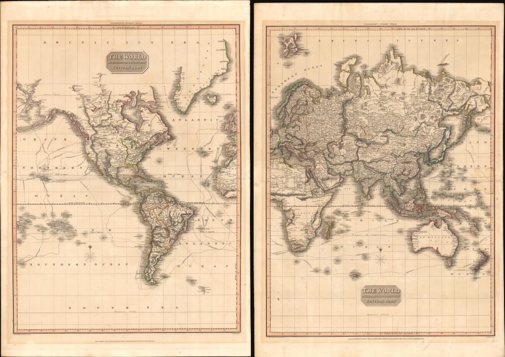
The World on Mercator's Projection Western Part. / The World on Mercator's Projection Eastern Part.
sold
- Digital Map Information
- Suitable for large format printing
- Full resolution TIFF file
- ICC color profile embedded
- Delivered instantly via download link
This is John Pinkerton's 1812 map of the world on Mercator's projection, here in two folio sheets. (more details)
An old view, repurposed.

Jacksonville Florida. 1893.
sold
A most unusual c. 1960s diazotype variant on the Augustus Koch bird's-eye view of Jacksonville, Florida, printed to promote Cowford Blueprinting. Unlike most later reproduction views, this one is noteworthy enough that it has a separate entry in Reps, Views and Viewmakers of Urban America (University of Missouri, Columbia, 1984). (more details)
Getting Kennedy Space Center ready for the Space Shuttle.

Preliminary Future Land Use Map.
sold
This is a c. 1972 NASA map of planned future land use at Kennedy Space Center, Cape Canaveral, Florida. It was issued internally in anticipation of the Space Shuttle Program and the need for expanded launch and landing facilities. (more details)
Fostering an American interest in Taiwan.

台灣風景及物產圖 / [The Map of Taiwan Sceneries and Products].
sold
A scarce, colorful pictorial map of Taiwan, published in 1955 by the Taiwan Travel Service and printed by Southeast Art Printings. It presents the island as an idyllic, bountiful land while skirting the uncomfortable realities of colonialism, cultural assimilation, and Cold War conflict. (more details)
In Khmer and French!
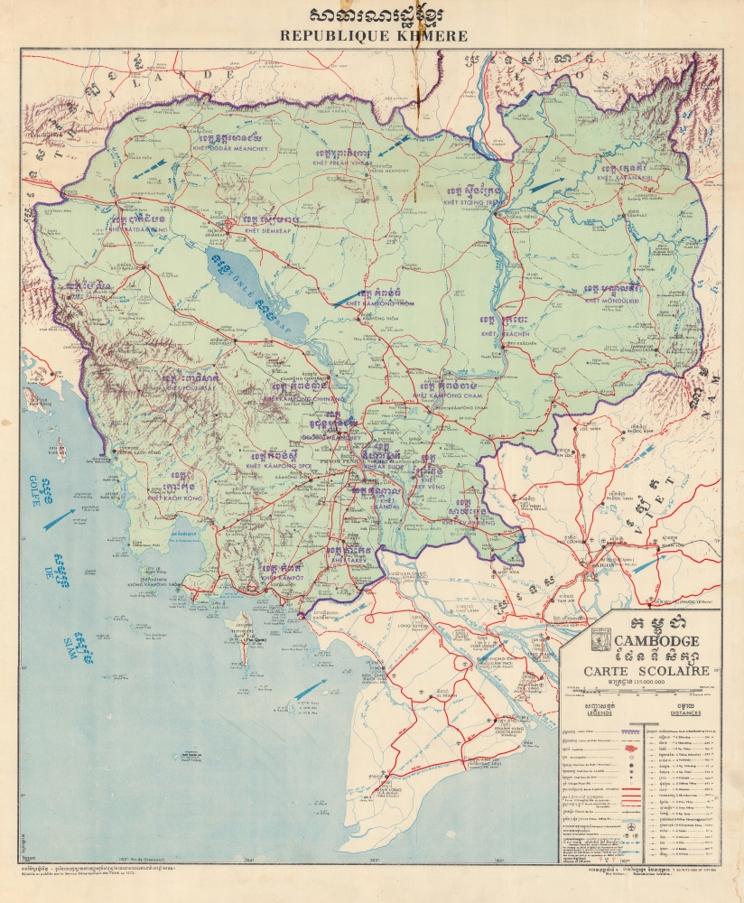
សាធារណរដ្ឋខ្មែរ. Republique Khmere. Cambodge Carte Scolaire.
sold
This is a 1972 bilingual Khmer and French Forces armées nationales khmères (FANK) map of Cambodia under the Khmer Republic. The map captures the short-lived period between the overthrow of the Cambodian monarchy and the rise of the Khmer Rouge. (more details)
Live music capital of the world.

Austin.
sold
This is a 1979 humorous pictorial map of Austin, Texas by Susan Dewar and Robert Van Nood. The view captures the city as it was becoming known as the 'Live Music Capital of the World.' (more details)
The Last Pieces of the Puzzle.
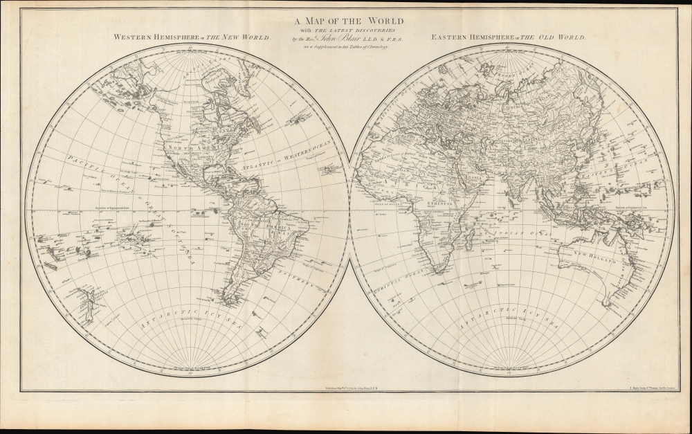
A Map of the World with the Latest Discoveries.
sold
- Digital Map Information
- Suitable for large format printing
- Full resolution TIFF file
- ICC color profile embedded
- Delivered instantly via download link
A fascinating 1779 map of the world in two hemispheres engraved by John Bayly and published in the early phase of a string of discoveries in the late 18th century. Though many uncertainties remained in polar regions and northwestern America, the contours of the world map as we know it today were clearly coming into focus. (more details)
Scarce Miniature World.

[Untitled map of The World].
sold
- Digital Map Information
- Suitable for large format printing
- DPI: 600
- File Size: 2.66 MB
- File Type: ZIP / TIFF
- ICC color profile embedded
- Delivered instantly via download link
This attractive woodcut map of the world was executed by Giuseppe Moretti for the title page of the 1688 edition of Giuseppe Rosaccio's Teatro del Mondo. It is a simple, oval projection of the world, illustrating the four known continents of Europe, Asia, Africa, and America, as well as the massive, unknown Antarctic continent. The production of a woodcut map in this period is itself unusual, especially coming from Italy. Venetian and Roman mapmakers had been working on copperplate well before that technology had passed to Antwerp and Amsterdam. (more details)
Against political corruption.

Through Night to Light!
sold
- Digital Map Information
- Suitable for large format printing
- Full resolution TIFF file
- ICC color profile embedded
- Delivered instantly via download link
This is an 1882 Joseph Keppler and Puck chromolithograph political cartoon promoting the need for a third political party and civil service reform. This movement saw Republican voters abandon their party in a symbolic move against political corruption, influencing Grover Cleveland's election in 1884. (more details)
Imaginative pastime evoking swashbuckling adventure.

Die Seefahrer in Africa. / Les Marins en Afrique.
sold
This card game, printed by Joseph Bermann in the mid-19th century (our dating of 1840 is conjectural) was produced as an entertaining representation of the reciprocal relationships between captains and crews sailing the coasts of Africa. Although not specifically stated or referenced in the game, the majority of European ships sailing to Africa in the mid-19th century were slavers, and the 'treasures', slaves. (more details)
American published Bolivian National Map.

Mapa de la Republica de Bolivia mandado publicar pr el Gobierno de la Nacion en la Administracion del Presidente Doctor José Maria Linares... Levantado y organindo en los años de 1842 à 1859 Por el Teniente Coronel Juan Ondarza, Commandante Juan Mariano Mujia y Mayor Lucio Camacho.
sold
- Digital Map Information
- Suitable for large format printing
- Full resolution TIFF file
- ICC color profile embedded
- Delivered instantly via download link
A magnificent map of extreme significance, this is J. H. Colton and Juan Ondarza Lara's great 1859 national map of Bolivia. This map is highly significant and influential on multiple levels. First, it is the largest and most important map of Bolivia to appear in the 19th century. Second, it is the second national map produced by an American commercial publisher, J. H. Colton, at the behest of a foreign government. Third, (and unfortunately) Colton was never paid for this map, which forced him into bankruptcy in 1859 and thus into a business arrangement with A. J. Johnson, whose use of Colton's map plates catalyzed his rise to become, for a time, the world's largest map publisher. (more details)
'First Colton map showing the gold fields.' - Streeter
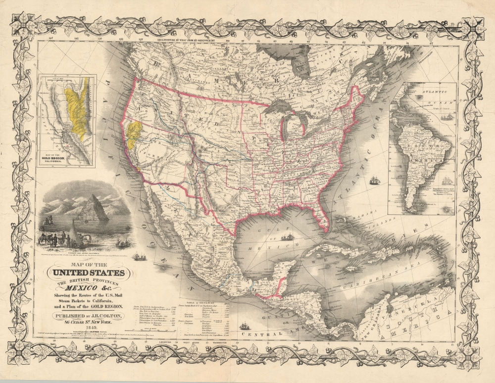
Map of the United States The British Provinces Mexico and c. Showing the Routes of the U.S. Mail Steam Packets to California and a Plan of the Gold Region.
sold
- Digital Map Information
- Suitable for large format printing
- DPI: 600
- File Size: 72.59 MB
- File Type: ZIP / TIFF
- ICC color profile embedded
- Delivered instantly via download link
This is J. H. Colton and J. M. Atwood's 1849 map of the United States, issued to illustrate routes to the newly discovered gold fields in California. Issued immediately in the wake of the gold discovery at Sutter's Mill, this is the first Colton map to illustrate the California Gold Fields. It also Texas in its largest configuration, immediately after the Treaty of Guadalupe Hidalgo. (more details)
Battling for the Red River Valley.

[Untitled: Nam Định and Ninh Bình / Vietnam].
sold
- Digital Map Information
- Suitable for large format printing
- Full resolution TIFF file
- ICC color profile embedded
- Delivered instantly via download link
A c. 1951 diazotype map with significant manuscript annotations produced during the First Indochina War between French forces and the Viet Minh independence movement. It depicts a portion of the Lower Red River Valley in Tonkin and provides detailed information on French forces during their struggle against the Viet Minh, most likely during the Battle of the Day River. (more details)
Philanthropy in the Face of Atrocity.

The Present Areas of Near East Relief Activities.
sold
- Digital Map Information
- Suitable for large format printing
- File Size: 25.46 MB
- File Type: ZIP / TIFF
- ICC color profile embedded
- Delivered instantly via download link
A scarce c. 1922 map of the Near East, produced by Near East Relief, an organization tasked with assisting refugees, particularly Armenians and Greeks, fleeing from Turkey. It was produced in the wake of one of the worst atrocities, the Burning of Smyrna, which destroyed the Greek and Armenian quarters. The efforts of the New East Relief saved over a million lives and are considered of the most successful humanitarian efforts of the 20th century. (more details)
The transmississippi in transition.
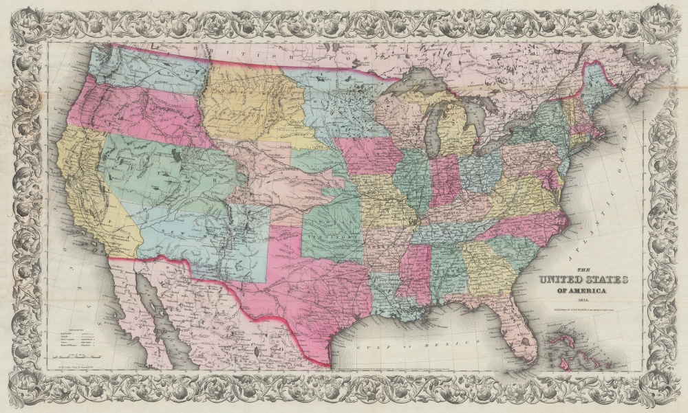
The United States of America 1854.
sold
- Digital Map Information
- Suitable for large format printing
- File Size: 70.8 MB
- File Type: ZIP / TIFF
- ICC color profile embedded
- Delivered instantly via download link
A rare example of J.H. Colton's 1854 map of the United States of America. This is the first iteration of Colton's United States map, issued separately and predating its reduced issue in the iconic atlas of 1855. Among other features, it is notable for providing a snapshot of the rapid territorial changes on the Great Plains and the Western U.S. The early manifestation of Nebraska Territory with unusual territorial, a late curious appearance of Northwest Territory, and the still-uncertain status of the lands acquired through the Gadsden Purchase are particularly noteworthy. (more details)
First appearance of Chinese geographical data in a European atlas.
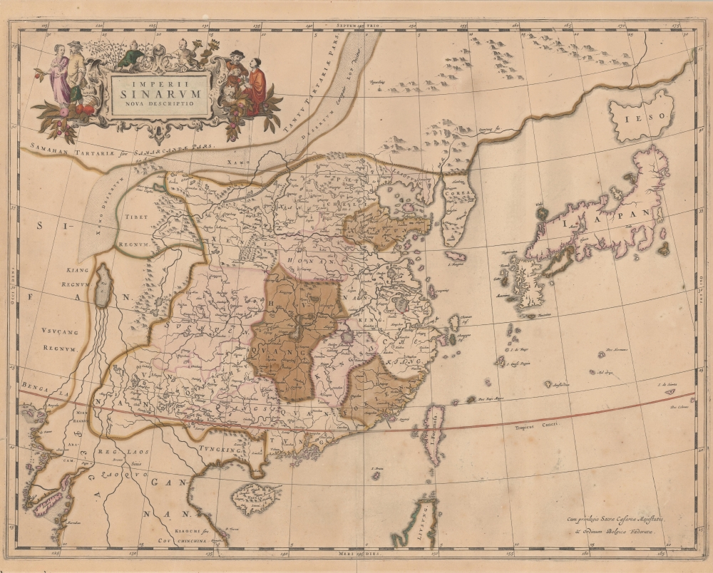
Imperii Sinarum Nova Descriptio.
sold
- Digital Map Information
- Suitable for large format printing
- Full resolution TIFF file
- ICC color profile embedded
- Delivered instantly via download link
This is the 1655 edition of Martino Martini and Johannes Blaeu's seminal map of China, Japan, and Korea, with fine old color. This is among the most important and influential maps of China issued in the 17th century, being the first publication of Martino Martini's revolutionary geographical data, brought to Europe just months earlier. (more details)