
The first printed map to name many of the coastal Carolian islands.
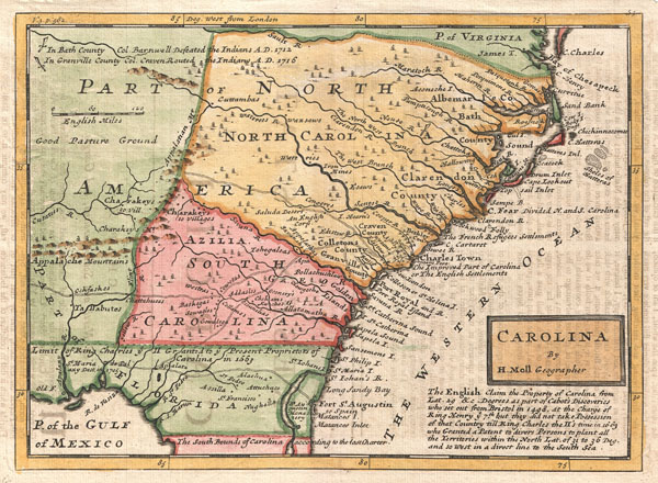
Carolina by H. Moll Geographer.
sold
- Digital Map Information
- Suitable for large format printing
- DPI: 300
- File Size: 3.89 MB
- File Type: ZIP / TIFF
- ICC color profile embedded
- Delivered instantly via download link
A small but significant 1729 map of Carolina by Herman Moll. This map covers from the mouth of the Chesapeake to St. Augustine and from the Atlantic westward to the mouth of the Apalache River, encompassing the entire territory defined by the Carolina Grant of ... (more details)
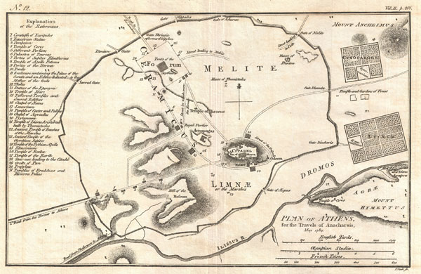
Plan of Athens, for the Travels of Anacharsis, May 1784.
sold
- Digital Map Information
- Suitable for large format printing
- Full resolution TIFF file
- ICC color profile embedded
- Delivered instantly via download link
This is an attractive 1784 map of ancient Athens, Greece. Covering the walled center of ancient Athens, this map details the ancient city's most important buildings and monuments. Names the Lyceum (Aristotle's famous school of philosophy) and the Cynosarges ... (more details)

Prussian Dominions.
sold
- Digital Map Information
- Suitable for large format printing
- DPI: 300
- File Size: 8.27 MB
- File Type: ZIP / TIFF
- ICC color profile embedded
- Delivered instantly via download link
This hand colored map is a steel plate engraving, dating to 1815 by the important English mapmaker John Thomson. It is a representation of the Prussia, Germany, including the districts of Pomerania, Brandemburg, Prussia and ... (more details)
Stunning Art Nouveau Map of Paris.
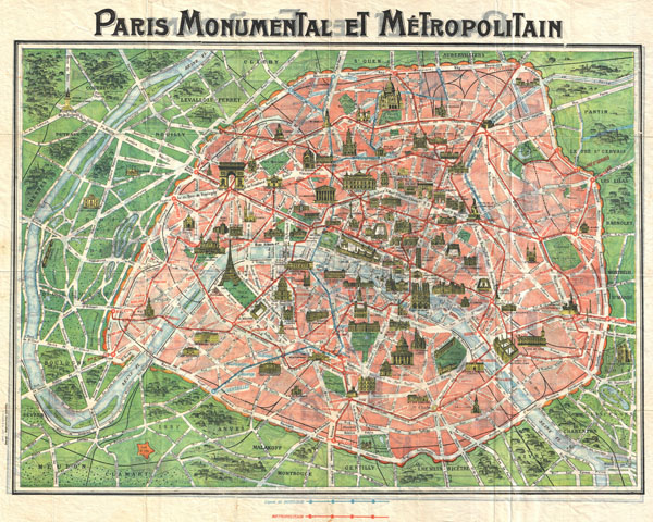
Paris Monumental et Metropolitain.
sold
- Digital Map Information
- Suitable for large format printing
- File Size: 23.92 MB
- File Type: ZIP / TIFF
- ICC color profile embedded
- Delivered instantly via download link
This c. 1920 map of Paris, France, is one of the most desirable of the 'Paris Monumental' series. Designed with the tourist in mind, this map covers the walled center of Paris and its immediate vicinity. Important ... (more details)
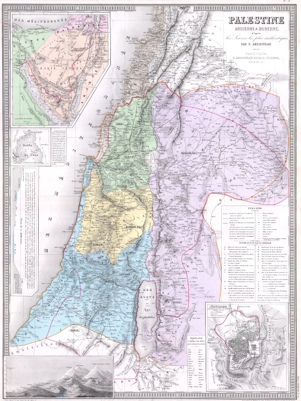
Palestine Ancienne & Moderne d’apres les Sources les plus Authentiques.
sold
- Digital Map Information
- Suitable for large format printing
- Full resolution TIFF file
- ICC color profile embedded
- Delivered instantly via download link
An extremely attractive and impressive map 1870 of Palestine, Israel, or the Holy Land by French cartographer E. Andriveau-Gujon. Covers the regions of modern day Israel, Lebanon, Syria, Jordan, and the Sinai in ... (more details)
The Post Road Map' - Considered the first Postal Map of New England.
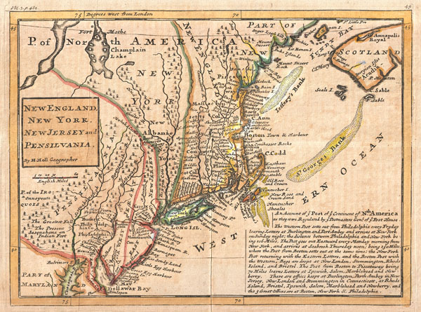
New England, New York, New Jersey and Pensilvania.
sold
- Digital Map Information
- Suitable for large format printing
- DPI: 300
- File Size: 3.81 MB
- File Type: ZIP / TIFF
- ICC color profile embedded
- Delivered instantly via download link
Known among cartographic historic as the 'Post Map,' this is Herman Moll's important 1729 map of New England and the adjacent colonies. Though variants of this map appear as early as 1708, this is the most ... (more details)
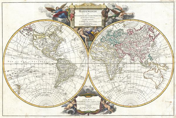
Mappe Monde suivant la projection des cartes reduites.
sold
- Digital Map Information
- Suitable for large format printing
- DPI: 300
- File Size: 17.78 MB
- File Type: ZIP / TIFF
- ICC color profile embedded
- Delivered instantly via download link
This uncommon 1784 map of the world on a Mercator projection by Robert de Vaugondy occupies the ephemeral period between Captain Cook's second and third voyages. Cooks explorations along the eastern ... (more details)
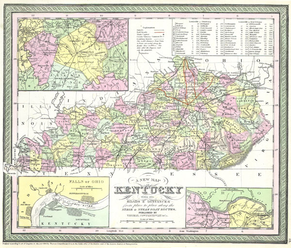
A New Map of Kentucky with its Roads & Distances from place to place along the Stage & Steam Boat Routes.
sold
- Digital Map Information
- Suitable for large format printing
- Full resolution TIFF file
- ICC color profile embedded
- Delivered instantly via download link
A stunning hand colored map of Kentucky published by S. A. Mitchell Sr. in 1850. Depicts the state in superb detail with counties, roads, canals, cities and rivers clearly noted. Inset maps depict ... (more details)

Map of the State of Illinois.
sold
- Digital Map Information
- Suitable for large format printing
- Full resolution TIFF file
- ICC color profile embedded
- Delivered instantly via download link
This is beautiful hand colored map is a lithographic engraving of the state of Illinois dating to 1850. Map divides the state into counties with notations on both political and geographical ... (more details)
First editon of Johnson's map of Washington D.C.
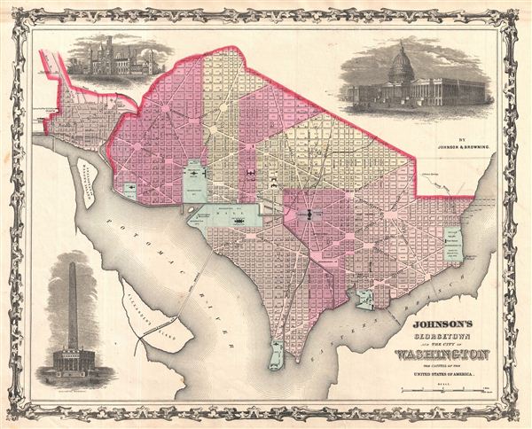
Johnson's Georgetown and the City of Washington the Capital of the United States of America.
sold
- Digital Map Information
- Suitable for large format printing
- File Size: 7.43 MB
- File Type: ZIP / TIFF
- ICC color profile embedded
- Delivered instantly via download link
A beautiful first edition example of A. J. Johnson's 1861 map of Washington D.C. and Georgetown. Offers a fascinating snapshot of the nation's capital shortly after the outbreak of the ... (more details)

A New Map of Indiana with its Roads & Distances
sold
- Digital Map Information
- Suitable for large format printing
- Full resolution TIFF file
- ICC color profile embedded
- Delivered instantly via download link
This hand colored map is a copper plate engraving, dating to 1850 by the legendary American Mapmaker S.A. Mitchell, the elder. It represents Indiana. Contains notes on steamboat stops ... (more details)

Johnson's North and South Carolina.
sold
- Digital Map Information
- Suitable for large format printing
- File Size: 16.79 MB
- File Type: ZIP / TIFF
- ICC color profile embedded
- Delivered instantly via download link
A beautiful example of A. J. Johnson's 1864 map of North Carolina and South Carolina. Offers a fascinating snapshot of these states during the American Civil War. Map shows both ... (more details)

New York (Suffolk County) Montauk Quadrangle
sold
- Digital Map Information
- Suitable for large format printing
- File Size: 1.65 MB
- File Type: ZIP / TIFF
- ICC color profile embedded
- Delivered instantly via download link
This beautiful and fascinating topographical chart depicts the Long Island, New York region of Montauk and Easthampton. Shows the beach communities of Montauk surrounding Fort ... (more details)

Johnson's Europe.
sold
- Digital Map Information
- Suitable for large format printing
- File Size: 15.59 MB
- File Type: ZIP / TIFF
- ICC color profile embedded
- Delivered instantly via download link
A. J. Johnson's beautifully hand colored 1864 map of Europe. This map shows cities, topographical features, railways, ferries and roads with color coding at the regional ... (more details)

New York (Suffolk County) Easthampton Quadrangle
sold
- Digital Map Information
- Suitable for large format printing
- File Size: 2.02 MB
- File Type: ZIP / TIFF
- ICC color profile embedded
- Delivered instantly via download link
This beautiful and fascinating topographical chart depicts the Long Island, New York region of Easthampton, From Wainscott through the town of Easthampton to Napeague ... (more details)

Johnson's Italy.
sold
- Digital Map Information
- Suitable for large format printing
- File Size: 15.83 MB
- File Type: ZIP / TIFF
- ICC color profile embedded
- Delivered instantly via download link
A. J. Johnson's beautifully hand colored 1864 map of Italy. This map shows cities, topographical features, railways, ferries and roads with color coding at the ... (more details)
Home city to some of the world's finest French wines.

Bordeaux.
sold
- Digital Map Information
- Suitable for large format printing
- Full resolution TIFF file
- ICC color profile embedded
- Delivered instantly via download link
This map is a steel plate engraving, dating to 1832 by the Society for the Diffusion of Useful Knowledge, S.D.U.K. It represents the city of Bordeaux, famous ... (more details)

Johnson's Washington Oregon and Idaho.
sold
- Digital Map Information
- Suitable for large format printing
- File Size: 7.97 MB
- File Type: ZIP / TIFF
- ICC color profile embedded
- Delivered instantly via download link
This is A. J. Johnson's beautifully hand colored first edition 1864 map of Washington, Oregon, and Idaho, with parts of modern day Montana and Wyoming. This ... (more details)
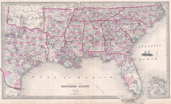
Southern States
sold
- Digital Map Information
- Suitable for large format printing
- File Size: 9.13 MB
- File Type: ZIP / TIFF
- ICC color profile embedded
- Delivered instantly via download link
This is an attractive map of the southeastern United States by Henry Walling. Dates to 1868, shortly after the conclusion of the Civil War. When this map ... (more details)

Johnson's New York.
sold
- Digital Map Information
- Suitable for large format printing
- File Size: 20.12 MB
- File Type: ZIP / TIFF
- ICC color profile embedded
- Delivered instantly via download link
This is A. J. Johnson's beautifully hand colored first edition 1864 map of New York. This map shows cities, topographical features, railways, ferries and ... (more details)