
Moll, Herman
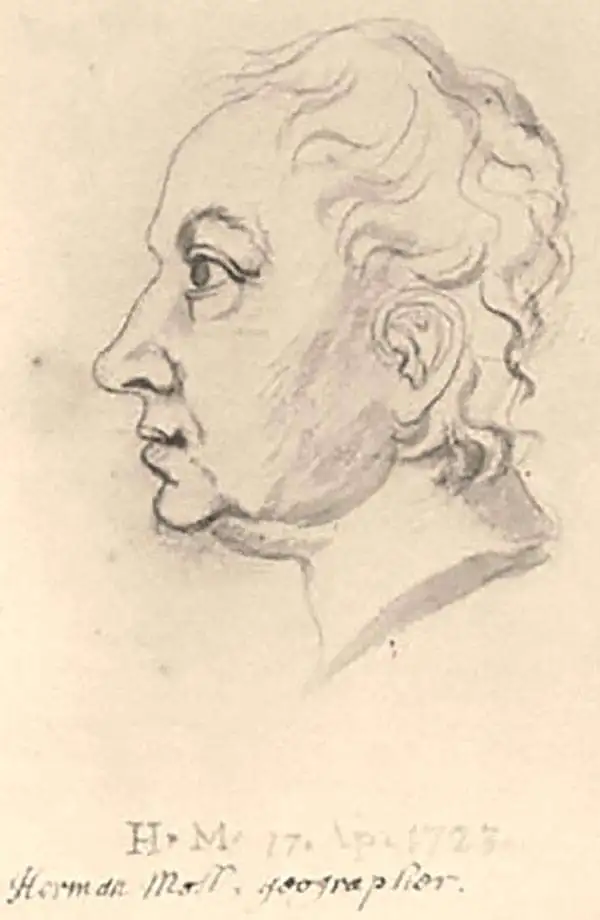
Herman Moll (1654 - 1732) was an important 18th century map publisher and engraver based in London and Holland. Moll's origins are disputed with some suggesting he was born in the Netherlands and others Germany - the Moll name was common in both countries during this period. Most likely Moll was a German from Bremen, as his will, friends, and contemporaries suggest. What is known for certain is that he moved to London in 1678, possibly fleeing the Scanian War, where he worked as an engraver for Moses Pitt and other London map publishers. Around the turn of the century, Moll set up his own shop where he produced a large corpus of work known for its high quality and decorative flair. As a new émigré to England, Moll made himself more English than the English, and through his cartography proved a fierce advocate for his adopted nation. Most of Moll's early maps were issued as loose sheets that would be bound to order, however, he did publish several important atlases late in his career. Moll is said to have made the bold claim that without a doubt "California is an Island" and that he "had in [his] office mariners who have sailed round it." While California may not be an island (yet), it is true that Moll had talent for attracting interesting friends and acquaintances. He frequented London's first stock exchange, Jonathan's Coffeehouse at Number 20 Exchange Alley, Cornhill. At the time Jonathan's was known as "a place of very considerable concourse for Merchants, sea faring Men and other traders" (Erleigh, The Viscount, The South Sea Bubble, Manchester: Peter Davies, Ltd., 1933, 21). Eventually this activity attracted the interest of stock brokers, who inspired by sailor's tales, sponsored the ill-fated South Sea Company, the world's first stock bubble. Moll's close circle, mostly from the Coffee House, included scientist Robert Hooke, the writers Daniel Defoe (Robinson Crusoe) and Jonathan Swift (Gulliver's Travels), the pirates William Dampier, William Hacke and Woodes Rogers, and the archeologist William Stukeley. Herman Moll's work was highly regarded for its decorative beauty and was pirated, most notably by the Irish publisher George Grierson, both in his lifetime and after his 1732 death at St. Clement Danes, London.
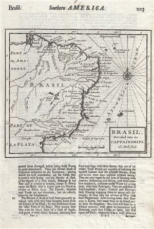
Brasil Divided into its Captainships.
$200.00
Acquire
- Digital Map Information
- Suitable for large format printing
- Full resolution TIFF file
- ICC color profile embedded
- Delivered instantly via download link
This is a scarce 1701 map of Brazil by Herman Moll. It depicts Brazil and eastern South America and covers from the mouth of the Amazon south to Paranagua. It depicts the various captainships including Para, Maragnan, Siara, Rio Grande, Paraiba, Tamaraca, ... (more details)
Most visually engaging atlas map of the world from the early Colonial period.
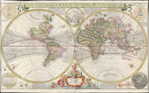
A New and Correct Map of the World Laid Down According to the Newest Discoveries, and from the Most Exact Observations, by Herman Moll Geographer.
$5,500.00
Acquire
- Digital Map Information
- Suitable for large format printing
- Full resolution TIFF file
- ICC color profile embedded
- Delivered instantly via download link
This is Herman Moll's 1707 / 1726, large-format double-hemisphere map of the world. It is the largest and most visually entertaining English atlas map of the world from the early Colonial period; it captures a view of the world in the midst of a transformation from the state of the art of the 17th century to a more scientifically focused style of cartography. The new mode - predominantly French - dominates the map: ironic, given Moll's adopted English chauvinism. (more details)
First large-scale map to show American postal routes.
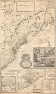
A New and Exact Map of the Dominions of the King of Great Britain on ye Continent of North America. Containing Newfoundland, New Scotland, New England, New York, New jersey, Pensilvania, Maryland, Virginia and Carolina.
$11,000.00
Acquire
- Digital Map Information
- Suitable for large format printing
- File Size: 44.83 MB
- File Type: ZIP / TIFF
- ICC color profile embedded
- Delivered instantly via download link
This is Herman Moll's 1715 'Beaver Map' of the British Colonies in America, here in its 1733 state (see below). In addition to its iconic and namesake image of Niagara Falls and the rich American peltries, this map is also significant as one of the most accurate maps of the period and the first large-scale map to show American postal routes. (more details)
Among the most enduring 18th century maps of Africa.
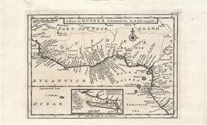
A map of Guinea, Loango etc.
$250.00
Acquire
- Digital Map Information
- Suitable for large format printing
- DPI: 600
- File Size: 16.4 MB
- File Type: ZIP / TIFF
- ICC color profile embedded
- Delivered instantly via download link
A nice example of Herman Moll's c. 1716 map of the 'Guinea Coast.' Coverage embraces most of the West African coast, from Mali to the Congo. It is an illustrative representation of the state of European geographic knowledge about Africa at the time, and the commercial concerns which motivated the search for said geographic knowledge. (more details)
Enflaming the British against French encroachments.
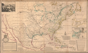
A New Map of the North Parts of America claimed by France under ye Names of Louisiana, Mississippi, Canada and New France with ye Adjoyning Territories of England and Spain.
$6,000.00
Acquire
- Digital Map Information
- Suitable for large format printing
- File Size: 50.08 MB
- File Type: ZIP / TIFF
- ICC color profile embedded
- Delivered instantly via download link
This is Herman Moll's 1720 map of North America, with original color. It was issued as part of an ongoing cartographic debate between French and British mapmakers regarding claims in the little-understood interior. The map is Moll's attempt to enflame outrage against Guillaume Delisle's 1718 pro-French map of the same. In addition, the map features several interesting cartographic elements, including a significant correction to the Great Lakes, the ephemeral Margravate of Azilia (Georgia), and a representation of California as an Island. (more details)
Quartet of Colonial-America Maps.
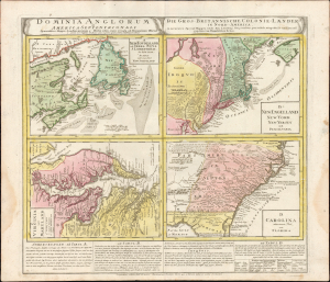
Dominia Anglorum in America Septentrionali. Specialibus Mappis Londini Primum a Mollio Edita, Nunc Recusa ab Homannianis Hered.
$1,600.00
Acquire
- Digital Map Information
- Suitable for large format printing
- Full resolution TIFF file
- ICC color profile embedded
- Delivered instantly via download link
This 1737 Homann Heirs engraving presents a quartet of maps depicting the British Colonies in North America. The four segments present Nova Scotia and Newfoundland, New England, Virginia and Maryland, and the Carolinas, respectively. The maps' detail is drawn closely from the work of Hermann Moll: each of the individual maps appeared as separate maps in Moll's Atlas Minor. Beyond this, the plate includes descriptive text pertaining to three of the four maps and includes a special commentary on the Iroquois Nation. (more details)