
NEW ACQUISITIONS
Pre-landfill Boston from Telegraph Hill.
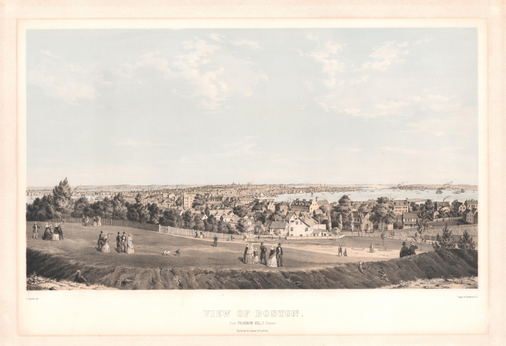
View of Boston from Telegraph Hill, S. Boston.
$4,000.00
Acquire
- Digital Map Information
- Suitable for large format printing
- Full resolution TIFF file
- ICC color profile embedded
- Delivered instantly via download link
This is Bernard Spindler 1854 bird's-eye view of Boston, Massachusetts. This is among the earliest and rarest published views of Boston. (more details)
Important content for Texas and Florida.
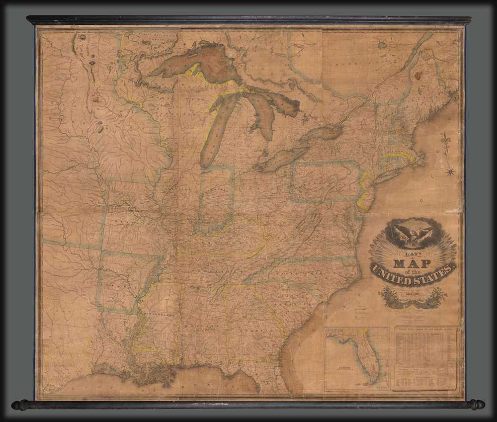
Lay's Map of the United States Compiled from the Latest and best Authorities and Actual Surveys.
$3,500.00
Acquire
- Digital Map Information
- Suitable for large format printing
- DPI: 600
- File Size: 400.53 MB
- File Type: ZIP / TIFF
- ICC color profile embedded
- Delivered instantly via download link
This 1832 Amos Lay map of the United States is one of the earliest and largest American wall maps. It features significant content regarding early grants in Texas and Florida, as well as a contemporaneous depiction of America's Canal Age. (more details)
Development of the Foreign Concessions in Shanghai.
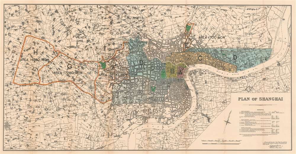
Plan of Shanghai.
$3,500.00
Acquire
- Digital Map Information
- Suitable for large format printing
- File Size: 46.42 MB
- File Type: ZIP / TIFF
- ICC color profile embedded
- Delivered instantly via download link
This is a rare 1928 large-format map of Shanghai, China, published by the Shanghai firm of Kelly and Walsh on behalf of the Shanghai Municipal Council. (more details)
Russian Interest in the Americas.

Америка раздѣленная на главныя области / [America Divided into Its Main Regions].
$2,800.00
Acquire
- Digital Map Information
- Suitable for large format printing
- File Size: 11.78 MB
- File Type: ZIP / TIFF
- ICC color profile embedded
- Delivered instantly via download link
This is a 1793 Russian-language map of the Americas produced for the 'New Atlas' (Novyy Atlas / Новый атлас), an important work that made the latest French cartography available to a Russian audience. (more details)
Layers of History and Cartography.
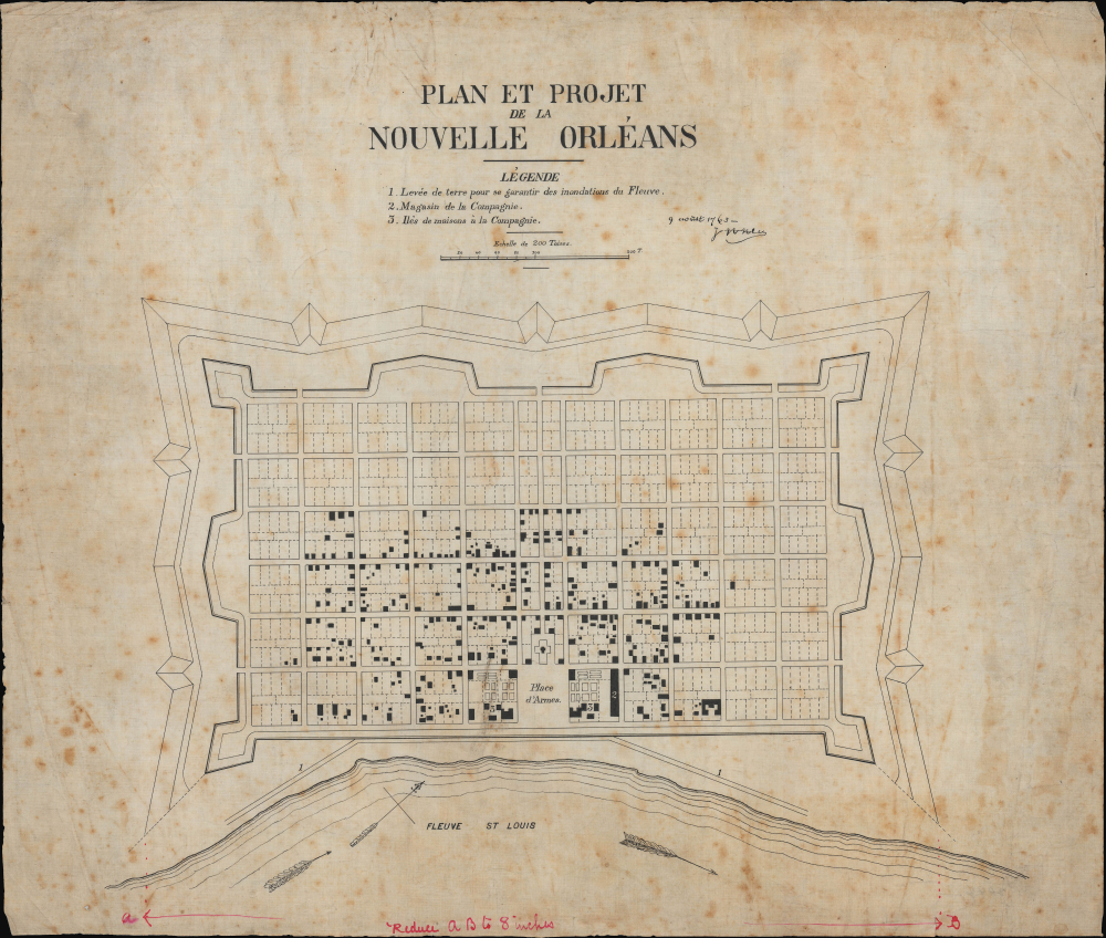
Plan et project de la Nouvelle Orleans.
$2,800.00
Acquire
- Digital Map Information
- Suitable for large format printing
- File Size: 15.18 MB
- File Type: ZIP / TIFF
- ICC color profile embedded
- Delivered instantly via download link
This is a remarkable c. 1880 manuscript map of New Orleans, drafted by eccentric German-American civil engineer Baron Ludwig von Reizenstein for later publication in George E. Waring Jr.'s influential 1881 History and Present Condition of New Orleans, Louisiana, and Report on the City of Austin, Texas. It is based on an earlier map dated 1763, though it more directly reflects the state of the city in the 1720s. (more details)
Earliest obtainable printing of the iconic Tolkien promotional map.
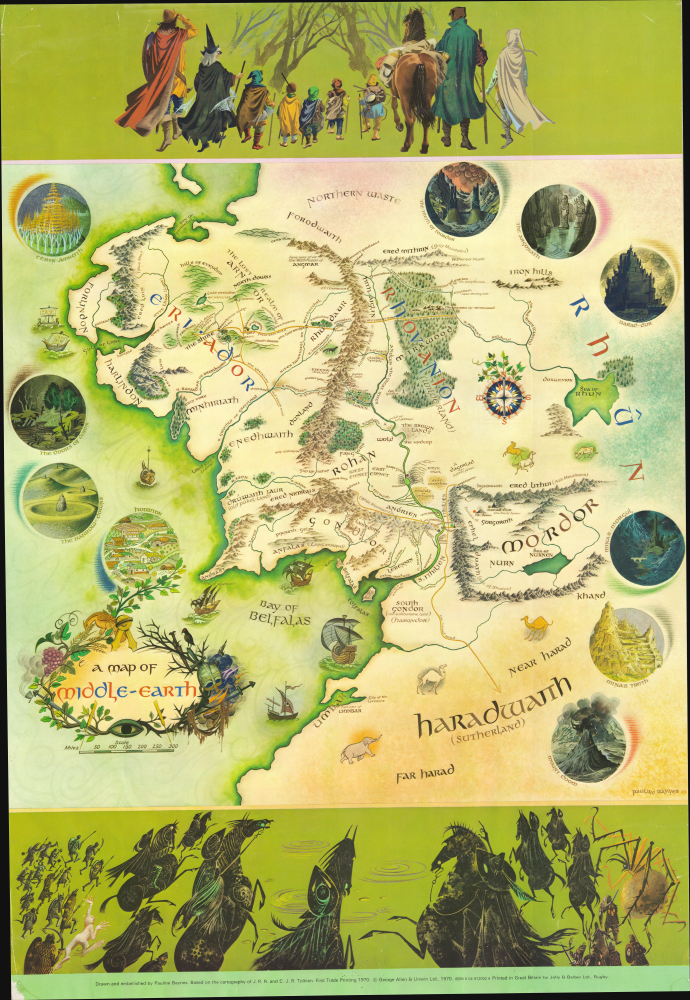
A Map of Middle-Earth.
$1,800.00
Acquire
This is the English 'George Allen and Unwin' first trade printing of the iconic 1970 poster map of J. R. R. Tolkien's Middle Earth drawn by Pauline Baynes to promote the Lord of the Rings. It is the earliest obtainable iteration of the map, with notably superior production quality and printing over all subsequent editions. Tolkien heaped praise upon Baynes' work, saying, 'They are more than illustrations, they are a collateral theme. I showed them to my friends whose polite comment was that they reduced my text to a commentary on the drawings.' (more details)
Extraordinary manuscript study of global zoology.
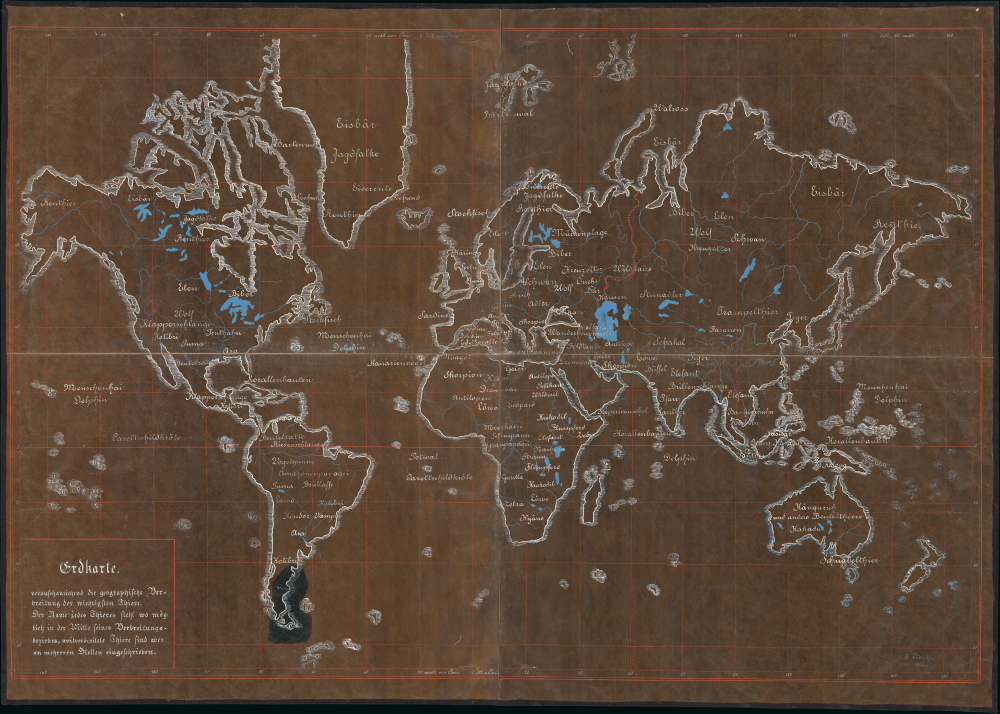
Erdkarte.
$1,500.00
Acquire
- Digital Map Information
- Suitable for large format printing
- File Size: 147.05 MB
- File Type: ZIP / TIFF
- ICC color profile embedded
- Delivered instantly via download link
This is a striking 1902 manuscript wall map illustrating global zoology by J. Pötsch. It is an illuminating example of Austrian didactic cartography at the height of the Austro-Hungarian Empire. (more details)
Mississippi Bubble and Restructuring of the French Economy.
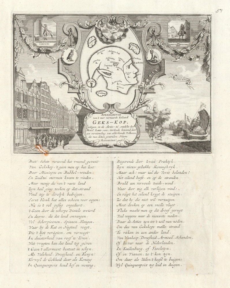
Afbeeldinge van't zeer vermearde Eiland Geks-Kop.
$1,500.00
Acquire
- Digital Map Information
- Suitable for large format printing
- File Size: 8.71 MB
- File Type: ZIP / TIFF
- ICC color profile embedded
- Delivered instantly via download link
An important and charming 1720 satirical allegory map, commonly known as the 'Fools Head' or 'Fools Cap,' intended to illustrate the dangers and pitfalls of 'bubble economies.' After the bursting of the Dot-Com Bubble and the more disastrous United States Housing Bubble (and subsequent sub-prime mortgage crises), most will find the themes of this 18th-century map taunting the speculators in the Mississippi Scheme - poverty, sorrow, and despair - quite familiar. (more details)
Flash-in-the-Pan Poet or Utopian Visionary?
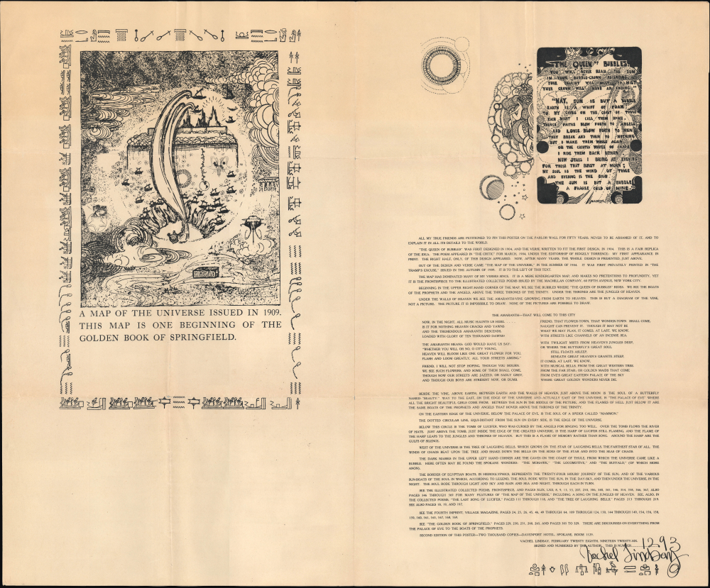
A map of the universe issued in 1909. The map is one beginning of the golden book of Springfield...
$1,500.00
Acquire
- Digital Map Information
- Suitable for large format printing
- File Size: 40.7 MB
- File Type: ZIP / TIFF
- ICC color profile embedded
- Delivered instantly via download link
This is a large-format signed 'map of the universe,' produced in 1929 by the author and poet Vachel Lindsay, whose work was characterized by ethereal imagery and esoteric influences. (more details)
Bellin's seminal Great Lakes cartography.
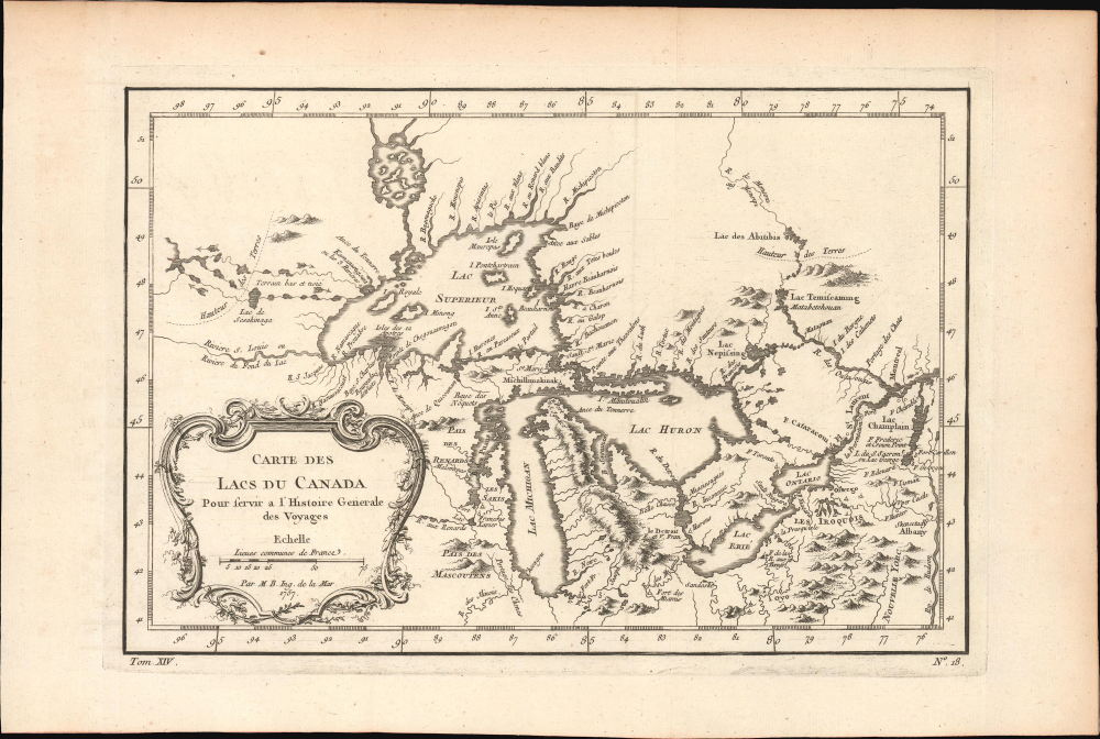
Carte des Lacs du Canada.
$950.00
Acquire
- Digital Map Information
- Suitable for large format printing
- File Size: 6.22 MB
- File Type: ZIP / TIFF
- ICC color profile embedded
- Delivered instantly via download link
This elegant map of the Great Lakes, printed in 1757 for Abbe Provost's L'Histoire Generale des Voyages, was drawn by French cartographer Jacques-Nicholas Bellin. It is also notable for being among the earliest maps to identify Detroit and the Port of Chicago (Checagou). Significantly, Bellin's cartography was one of the first to depict the four phantom islands in Lake Superior (Philippeux, Pontchartrain, Maurepas, and St. Anne) - islands that, despite their nonexistence, influenced the structuring of post-Revolutionary War borders between British Canada and the fledgling United States. (more details)
Establishing an Czech national toponymy.
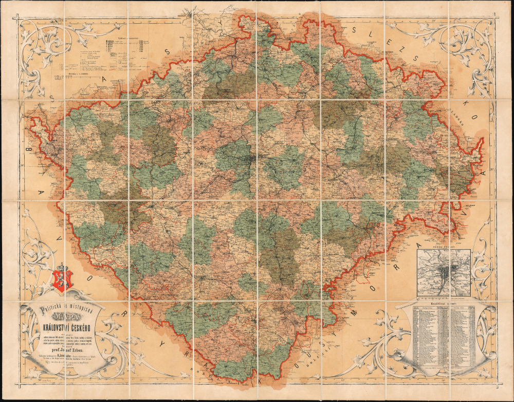
Politická a Místopiśná Mapa Kráovství Českého.
$950.00
Acquire
- Digital Map Information
- Suitable for large format printing
- File Size: 73.79 MB
- File Type: ZIP / TIFF
- ICC color profile embedded
- Delivered instantly via download link
An important 1872 Josef Erben chromolithograph map of Bohemia (Czech Republic). This map represents a significant moment of Czech cultural revival, being one of the first maps of Bohemia issued fully in Czech and, more importantly, an all-Czech production. The Czech cartographic content subsequently formed the framework for most subsequent Czech and Slavic toponymy. (more details)
Resting Place of Ancient Emperors.
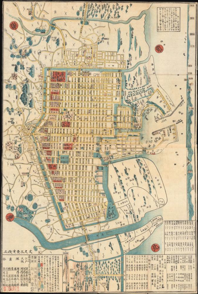
嘉永改正堺大繪圖 (文久三癸亥改正) / [Large Map of Sakai, Revised in the Kaei Era (Re-revised in in the Third Year of the Bunkyū Era)].
$500.00
Acquire
- Digital Map Information
- Suitable for large format printing
- File Size: 29.75 MB
- File Type: ZIP / TIFF
- ICC color profile embedded
- Delivered instantly via download link
This is an 1863 ukiyo-e woodblock plan or city map of Sakai, Osaka, Japan (now part of Osaka) by Hosokawa Yasuyoshi. (more details)
NYC's First Vehicular Tunnel.
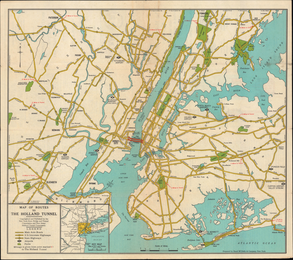
Map of Routes to the Holland Tunnel. / The Holland Tunnel Twin Tubes Map of Routes Description of Tunnel Toll Rates Traffic Regulations.
$400.00
Acquire
- Digital Map Information
- Suitable for large format printing
- Full resolution TIFF file
- ICC color profile embedded
- Delivered instantly via download link
This is Rand McNally's c. 1927 map of New York City, produced to highlight the opening of the Holland Tunnel, the first direct automobile crossing of the Hudson River, and one of the great engineering marvels of its time. (more details)
Controversial Commemorations.
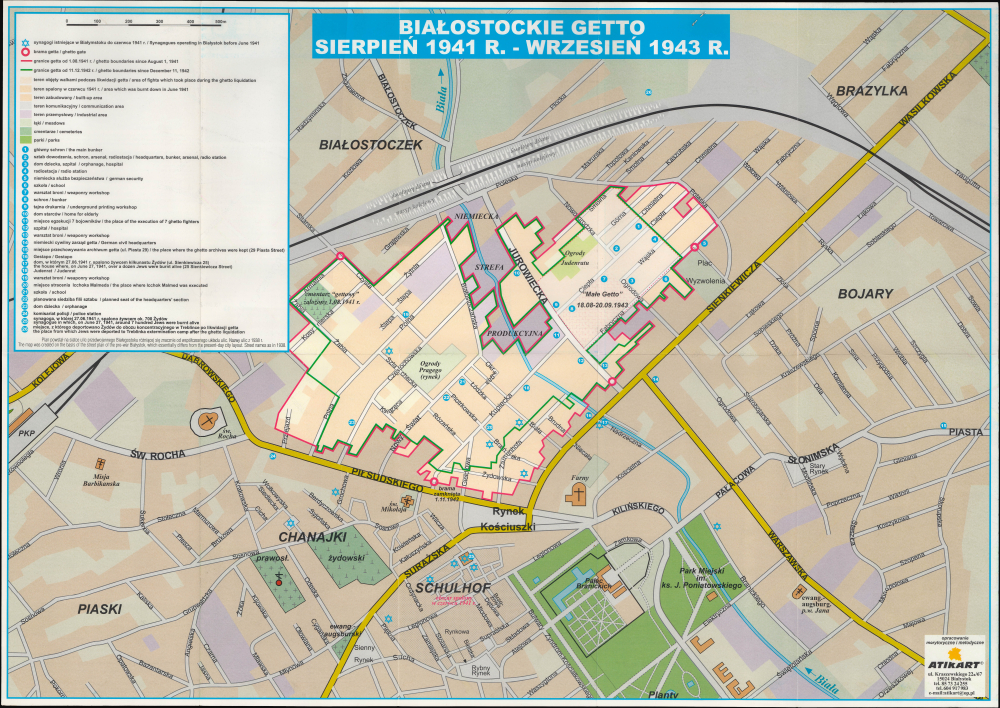
Białostockie Getto 1941-1943.
$300.00
Acquire
This is a 2013 Atikart historical folding map of the Bialystok Ghetto in Bialystok, Poland, documenting the horrors of the Holocaust in that city. (more details)
'The Father of Waters again goes unvexed to the sea.'
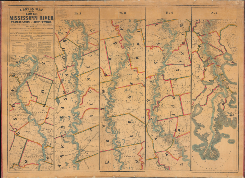
Lloyd’s Map of the Lower Mississippi River From St. Louis to the Gulf of Mexico. Compiled from Government Surveys in the Topographical Bureau...
$17,000.00
Acquire
- Digital Map Information
- Suitable for large format printing
- File Size: 104.66 MB
- File Type: ZIP / TIFF
- ICC color profile embedded
- Delivered instantly via download link
This is James T. Lloyd's engrossing 1863 large-format map of the Mississippi River, produced during the U.S. Civil War (1861 - 1865). It provides a comprehensive overview of the economically vital and strategically critical waterway, then a hotly contested theater of war vital to both the Union and the Confederacy. (more details)
Capital of New England - one of the earliest views of Boston based on actual observation.
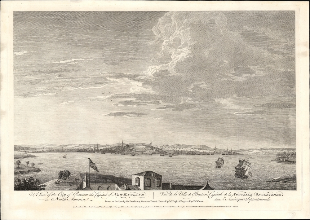
A View of the City of Boston the Capital of New England, in North America. / Vue de la Ville de Boston Capitale de la Nouvelle Angleterre, dans l'Amérique Septentrionale.
$6,500.00
Acquire
- Digital Map Information
- Suitable for large format printing
- File Size: 29.58 MB
- File Type: ZIP / TIFF
- ICC color profile embedded
- Delivered instantly via download link
This is the rare Thomas Pownall view of Boston, published in 1768. It is one of the earliest obtainable views of Boston, offering a glimpse of the city shortly after the French and Indian War (1754-1763). (more details)
Promoting westward migration in 19th century Canada.
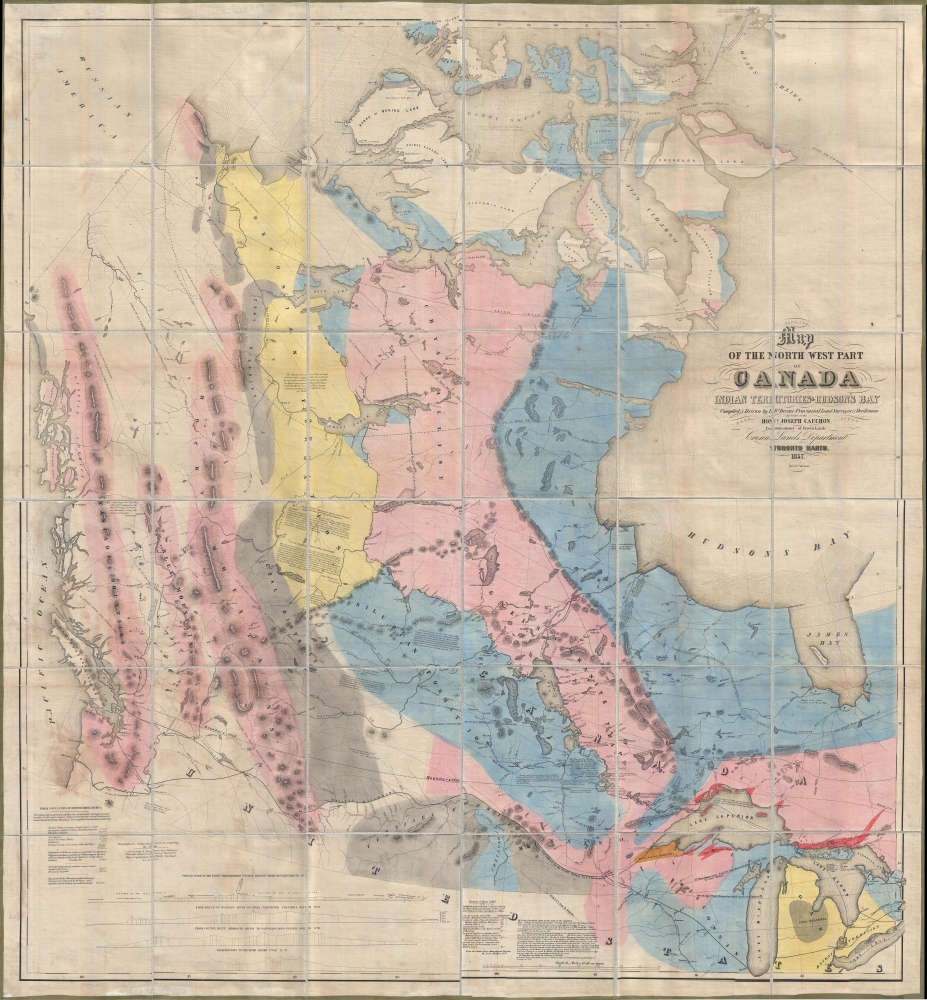
Map of the North West Part of Canada Indian Territories and Hudson's Bay.
$5,000.00
Acquire
- Digital Map Information
- Suitable for large format printing
- File Size: 79.93 MB
- File Type: ZIP / TIFF
- ICC color profile embedded
- Delivered instantly via download link
Magnificently huge, this is Thomas Devine's 1857 large-scale map of Canada west of the Hudson Bay. It is the first map of the West published and issued in Canada, and as such, it can be considered an essential document of the Canadian westward expansion. (more details)
Second military survey of the Habsburg lands.
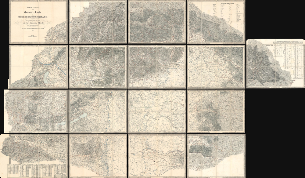
Administrativ-und General-Karte des Königreiches Ungarn... [Administrative and General Map of the Kingdom of Hungary...]
$3,500.00
Acquire
- Digital Map Information
- Suitable for large format printing
- Full resolution TIFF file
- ICC color profile embedded
- Delivered instantly via download link
This is an impressive 17-sheet 1858 Royal Military Geographical Institute map of Hungary. Beautifully engraved, this was the most important and detailed map of Hungary to date, a product of the Franziszeische Landesaufnahme, the Second Military Mapping Survey of the Austrian Empire. (more details)
American army life in post-Korean War Seoul.
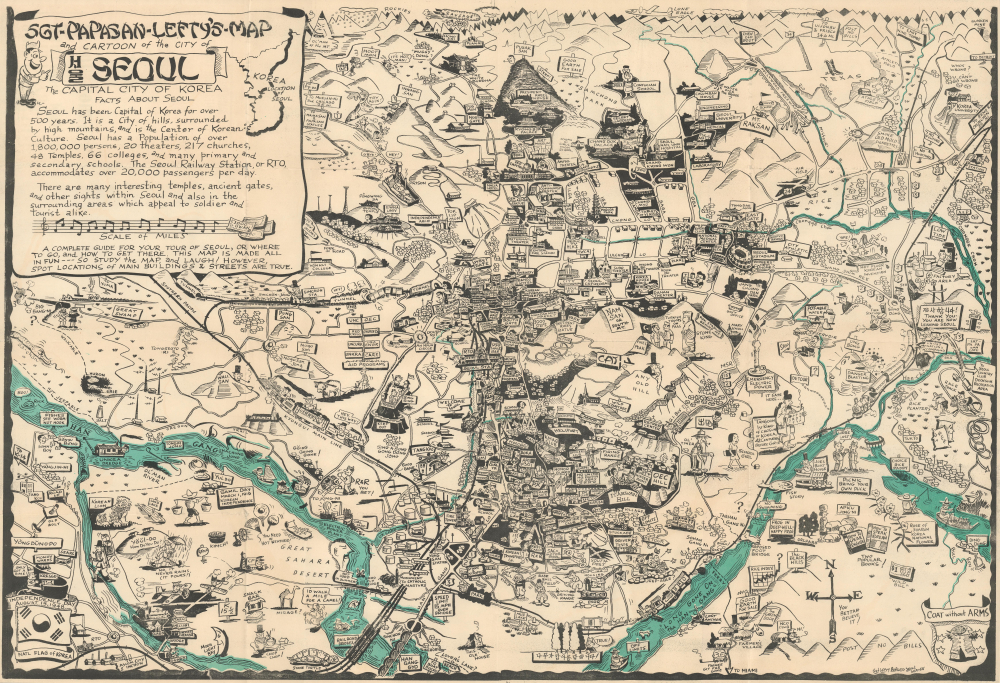
Sgt-Papasan-Lefty's-Map and Cartoon of the City of Seoul the Capital City of Korea.
$3,200.00
Acquire
One of only three known surviving examples of Byrel W. Burgess's magnificent 1958 pictorial map of Seoul, Korea. Encompassing the heart of modern-day Seoul, the map humorously captures the ephemeral post-Korean War experience of American soldiers stationed there. Truly one of the great mid-century pictorial maps, following in the spirit of Frank Dorn (with whom Burgess served in the World War II China-Burma Theater), comic vignettes populate the map. These vignettes collectively highlight not only foreign-service military life, but also the exponential rise of American political and military influence between World War II (1939 -1945) and the Vietnam War (1955 - 1975). (more details)
West-oriented chart of the Middle and North Atlantic Coastline.
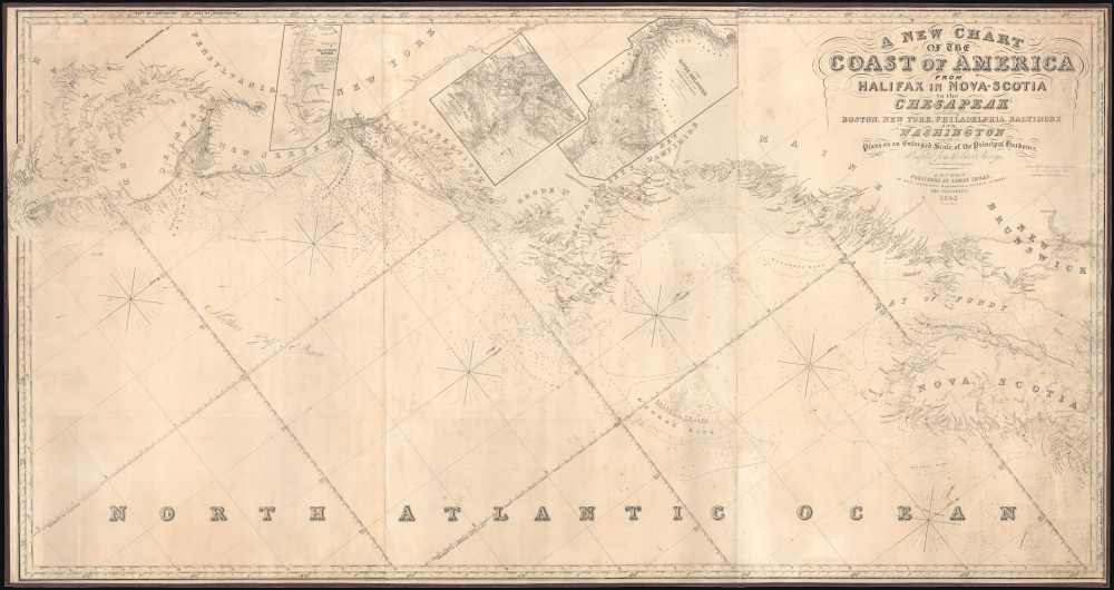
A New Chart of the Coast of America from Halifax in Nova-Scotia to the Chesapeak including Boston, New York, Philadelphia, Baltimore and Washington.
$3,000.00
Acquire
- Digital Map Information
- Suitable for large format printing
- File Size: 87.36 MB
- File Type: ZIP / TIFF
- ICC color profile embedded
- Delivered instantly via download link
This is James Imray's 1852 blueblack nautical map of the Middle-Atlantic and North Atlantic coast of North America, from the Bay of Fundy to the Chesapeake Bay. (more details)