
NEW ACQUISITIONS
Hope and fun in Depression-era Minnesota.
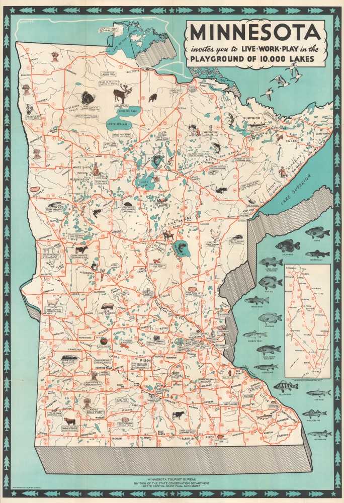
Minnesota invites you to Live Work Play in the Playground of 10,000 Lakes.
$350.00
Acquire
- Digital Map Information
- Suitable for large format printing
- Full resolution TIFF file
- ICC color profile embedded
- Delivered instantly via download link
This is a 1931 Minnesota Tourist Bureau pictorial tourist map of Minnesota. This map was issued to promote both immigration and tourism to Minnesota. The map offers a playful but compelling message of hope and prosperity against the backdrop of the Great Depression. (more details)
First modern Chinese map of Beijing.
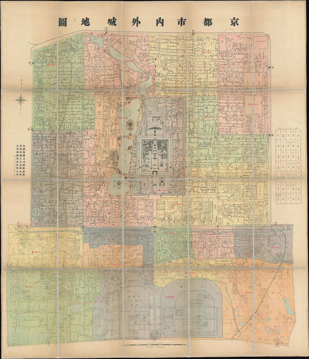
Capital City Inside and Out. / 京都市內外城地圖 / Jing dushi neiwaicheng ditu.
$4,500.00
Acquire
- Digital Map Information
- Suitable for large format printing
- Full resolution TIFF file
- ICC color profile embedded
- Delivered instantly via download link
This is an important ROC (Republic of China) 5 (民國五年), or 1916 map of Beijing, prepared by the municipal government for administrative purposes. This map, the first truly sophisticated Chinese map of Beijing, was the definitive city plan for roughly 20 years until it was superseded in 1936. The map covers the old walled center of Beijing, including the Imperial City, Forbidden City, Tartar City, and Chinese City. (more details)
Great New Orleans Fire of 1788.
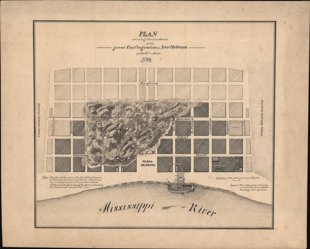
Plan showing the boundaries of the great Conflagration of New Orleans on the 21st of March 1788.
$4,500.00
Acquire
- Digital Map Information
- Suitable for large format printing
- File Size: 409.88 MB
- File Type: ZIP / TIFF
- ICC color profile embedded
- Delivered instantly via download link
This is a dramatic original c. 1880 manuscript map of 1788 Great Fire of New Orleans drafted by eccentric German-American civil engineer Baron Ludwig von Reizenstein for later publication in George E. Waring Jr.'s influential History and Present Condition of New Orleans, Louisiana, and Report on the City of Austin, Texas published in 1881. It records the 1788 Great Fire, one of the most destructive disasters to befall 18th-century New Orleans. The report, survey, and map were significant in influencing late 19th-century efforts at New Orleans fire control. (more details)
First commercially available map using Lemprière's cartography.
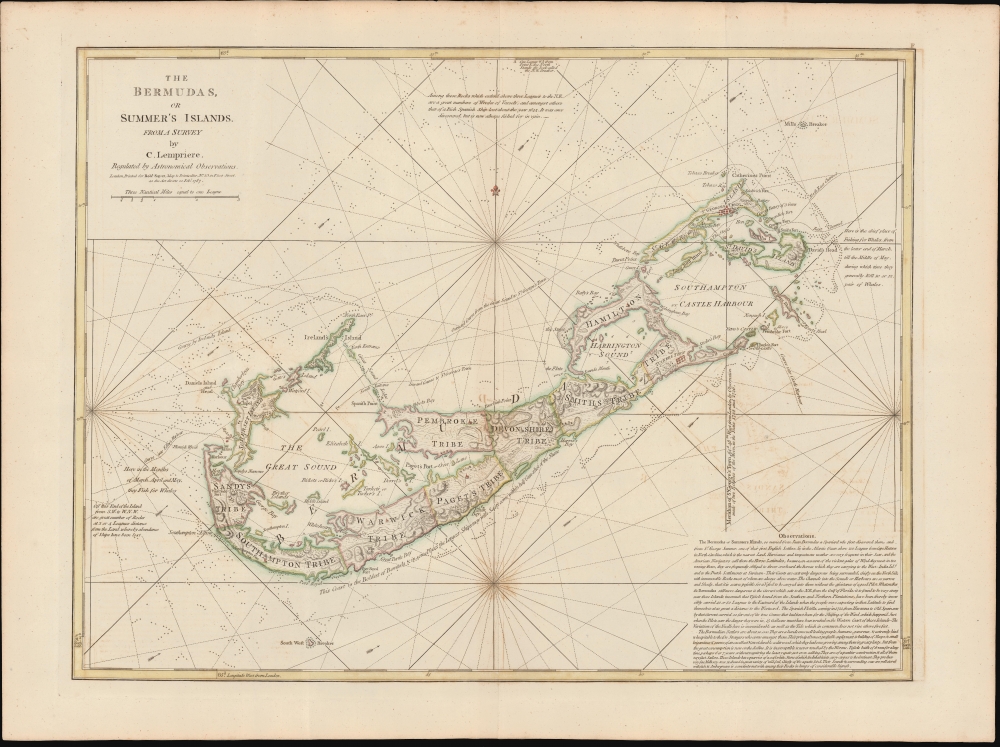
The Bermudas, or Summer's Islands from a Survey by C. Lempriere, regulated by Astronomical Observations.
$4,000.00
Acquire
- Digital Map Information
- Suitable for large format printing
- File Size: 21.99 MB
- File Type: ZIP / TIFF
- ICC color profile embedded
- Delivered instantly via download link
This is a beautiful example of Robert Sayers' Bermuda, incorporating Clement Lemprière's seminal survey of 1738. Lemprière's survey was the first important mapping of Bermuda in the 18th century, and Sayers' imprint was the first widely available commercial application of that new data. (more details)
First scientific survey of Lesotho.
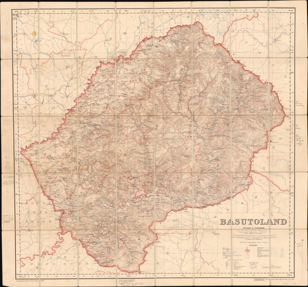
Basutoland.
$1,500.00
Acquire
- Digital Map Information
- Suitable for large format printing
- File Size: 107.15 MB
- File Type: ZIP / TIFF
- ICC color profile embedded
- Delivered instantly via download link
Considered the first trigonometric survey of Lesotho, this 1911 map was published by the British War Office after the work of Captain M.C. Dobson. The map is the product of a singular effort carried out single-handedly by Dobston between 1904 and 1909. It features extensive manuscript additions and annotations by the important British military historian Geoffrey Tylden, who owned the map and likely used it in his research. The fact that Tylden was using this map nearly 50 years after its production underscores both its accuracy and longevity. (more details)
Unrealized Port Project and the Origins of Howard Beach.
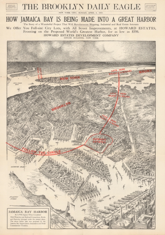
How Jamaica Bay is Being Made into a Great Harbor / Jamaica Bay Harbor / Plan of Dock Comm’r Tomkins.
$1,200.00
Acquire
- Digital Map Information
- Suitable for large format printing
- Full resolution TIFF file
- ICC color profile embedded
- Delivered instantly via download link
This is a c. 1912 promotional real estate broadside, consisting of excerpts from the Brooklyn Daily Eagle, promoting the Jamaica Bay Improvement Plan and associated developments around Jamaica Bay, New York City. The broadside illustrates ambitious plans to dredge Jamaica Bay, turning it into a massive seaport. Work on this project was underway but was terminated when the U.S. entered into World War I (1914 - 1918). (more details)
A beautiful map of England and Wales framed by vignettes of historic landmarks and figures.
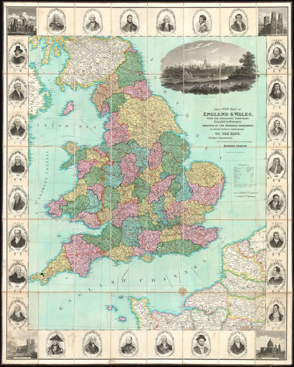
This New Map of England and Wales, with the Adjacent Countries, Compile by Surveyors Employed in the Ordnance Department, is Respectfully Dedicated to the King.
$800.00
Acquire
- Digital Map Information
- Suitable for large format printing
- DPI: 600
- File Size: 155.87 MB
- File Type: ZIP / TIFF
- ICC color profile embedded
- Delivered instantly via download link
This is a stunning c. 1830 Robert Seaton large-format folding case map of England and Wales. The map depicts the region from Ireland to the North Sea and from the Firth of Forth in Scotland to Paris, France. Beautifully executed and wonderfully adorned, the counties of England and Wales are all shaded different colors to allow for easy differentiation. A large, finely engraved view of Windsor Castle is situated at the upper right. The whole is surrounded by a pictorial border populated by portraits of famous British figures, including Shakespeare, Nelson, Raleigh, Byron, Milton, and Wellington. Views of Canterbury Cathedral, York Minster, St. Paul's Cathedral, and Westminster Abbey occupy the corners. (more details)
Pennsylvania Coal Boom!
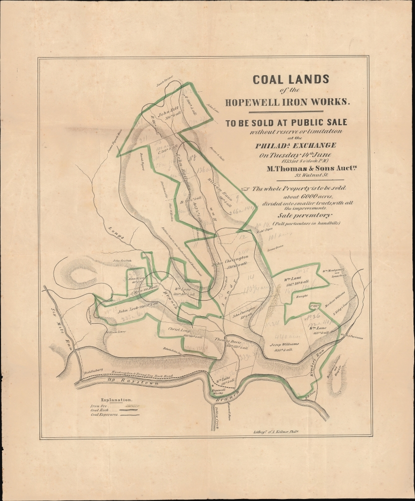
Coal Lands of the Hopewell Iron Works.
$800.00
Acquire
- Digital Map Information
- Suitable for large format printing
- File Size: 15.3 MB
- File Type: ZIP / TIFF
- ICC color profile embedded
- Delivered instantly via download link
This is an unrecorded and likely unique 1853 promotional broadside with significant manuscript annotations, printed by Augustus Köllner for a land auction held in Philadelphia. The land being sold, located in Bedford County in southern Pennsylvania, was rich in coal deposits and historically supplied the Hopewell Furnace, a legendary American ironworks located in Berks County which supplied cannon and other war materials during American Revolution. By this time, the Hopewell Furnace had long ceased to operate, but its valuable coal-land, as here, took on new significance with the emergence of the Industrial Revolution. (more details)
German Prisoner of War camps housing French POWs.

Camps des Prisonniers Français d'après des documents du Ministère des Prisonniers de la France Libérée.
$750.00
Acquire
- Digital Map Information
- Suitable for large format printing
- File Size: 32.69 MB
- File Type: ZIP / TIFF
- ICC color profile embedded
- Delivered instantly via download link
This is a 1944 Jean Baneton map of Europe identifying German camps housing French POWs. Camps throughout Germany, Austria, and Poland are noted, with an index outside the left border separating Stalag (camps for enlisted men) and Oflag (camps for officers). Each camp is identified by its alphanumeric name and its location. The ones that are struck through are camps that were dissolved by the time this map was printed. Conveying impressive historical perspective, red lines mark European borders in 1923, while black dashed lines mark those in 1944. (more details)
Battle of Chickamauga by a Civil War veteran.
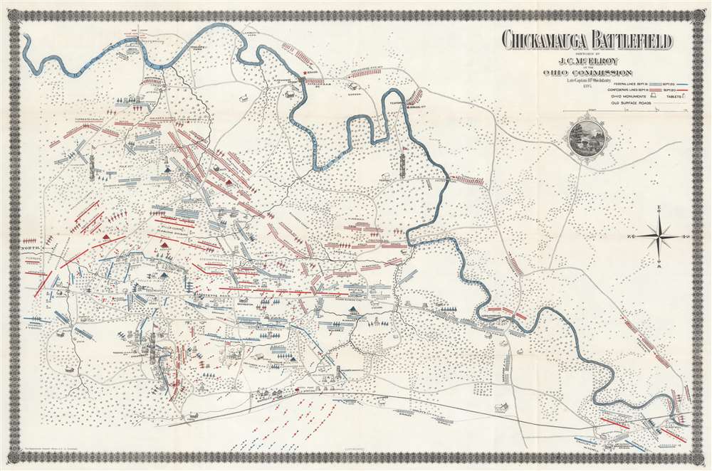
Chickamauga Battlefield.
$750.00
Acquire
- Digital Map Information
- Suitable for large format printing
- File Size: 33.18 MB
- File Type: ZIP / TIFF
- ICC color profile embedded
- Delivered instantly via download link
This is an 1895 Joseph C. McElroy map of the Battle of Chickamauga, American Civil War (1861 - 1865). Federal (blue) and Confederate (red) lines on September 19 and September 20 are marked, with each unit identified by its commanding officer. Artillery batteries appear as cannons. As this map was created after the war for the Ohio Commission, monuments to various units are illustrated as well. (more details)
Hawaii, Fillmore Style (after Millsap).
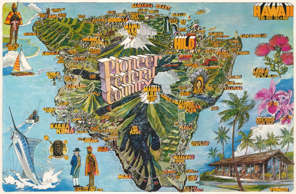
Hawaii The Big Island. Pioneer Federal Country.
$700.00
Acquire
This is a 1976 J. Dawson pictorial map of the Big Island of Hawaii. Dawson utilizes the Fillmore design, pioneered by promoters of The Fillmore, a legendary 1960s-70s San Francisco music venue. This map is one of a series commissioned by Pioneer Federal Savings and Loan, with 2 others created by Dawson and one by renowned artist Darrel Millsap. (more details)
The Garden Island.
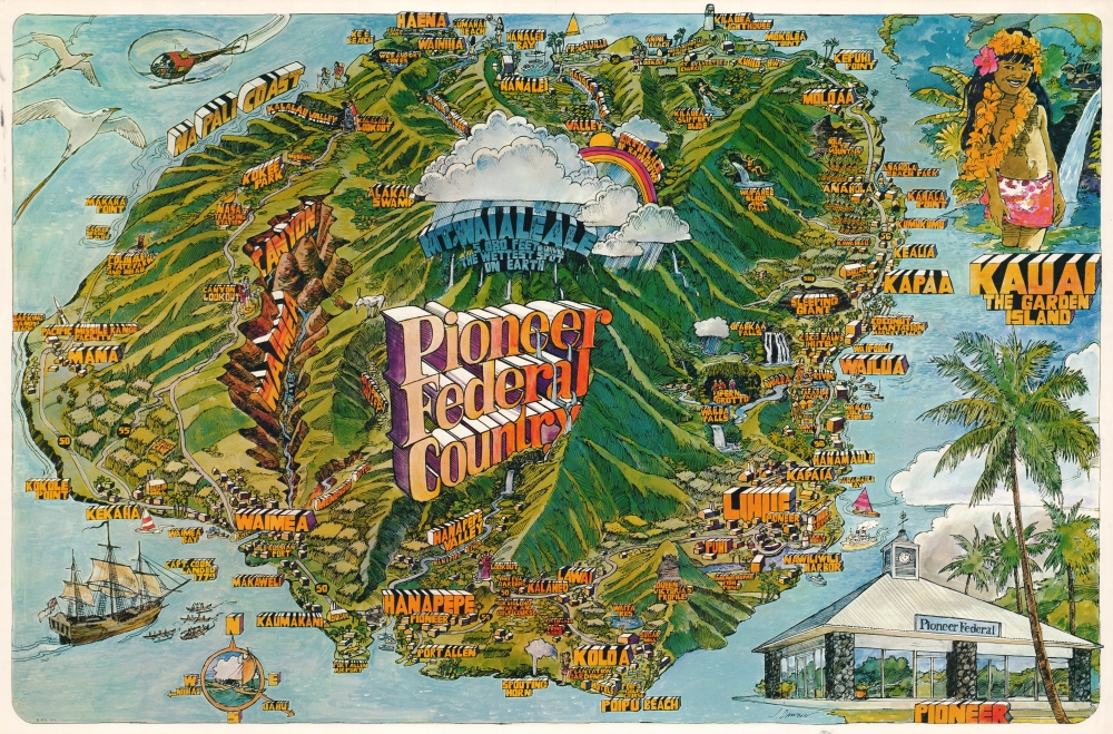
Kauai The Garden Island. Pioneer Federal Country.
$700.00
Acquire
This is a 1976 J. Dawson pictorial map of Kauai, Hawaii. Dawson utilizes the Fillmore style of design, pioneered by promoters of The Fillmore, a legendary 1960s-70s San Francisco music venue. This map is one of a series commissioned by Pioneer Federal Savings and Loan, with 2 others created by Dawson and one by renowned artist Darrel Millsap. (more details)
Maui, Fillmore Style (after Millsap).
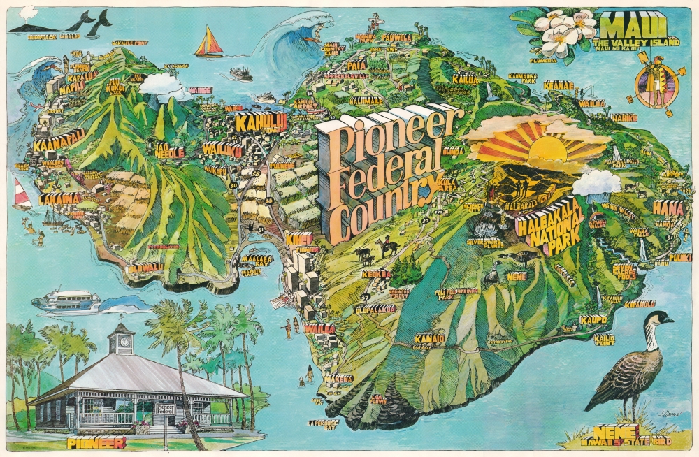
Maui The Valley Island. Pioneer Federal Country.
$700.00
Acquire
This is a 1976 J. Dawson pictorial map of Maui, Hawaii Islands. Dawson utilizes the Fillmore design style, pioneered by promoters of The Fillmore, a legendary 1960s-70s San Francisco music venue. This map is one of a series commissioned by Pioneer Federal Savings and Loan, with 2 others created by Dawson and one by renowned artist Darrel Millsap. (more details)
Reorder Europe after Napoleon.
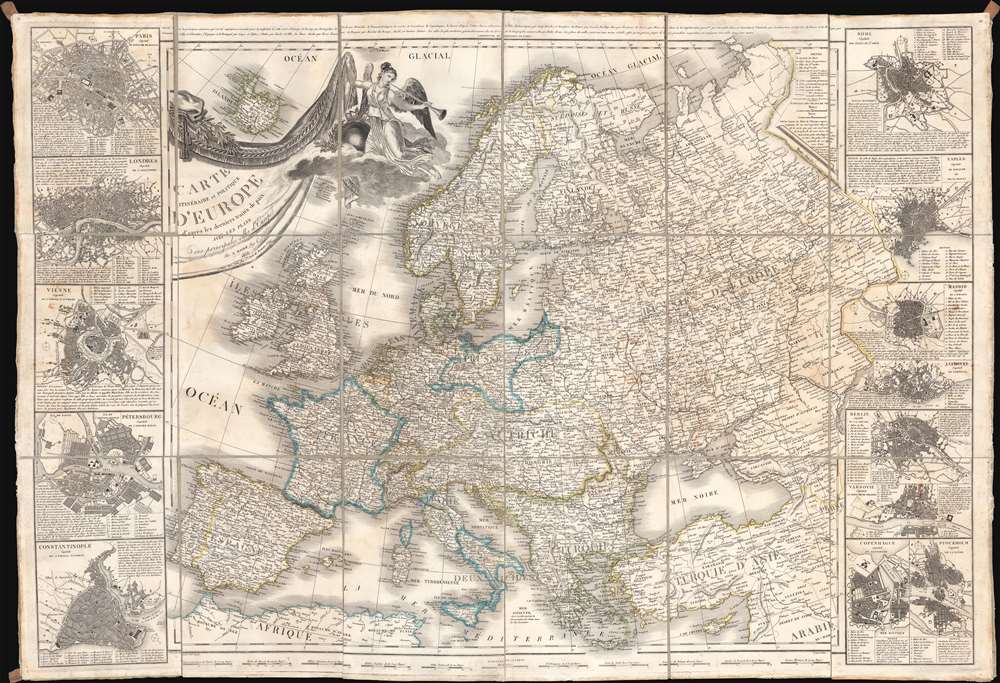
Carte Itinéraire et Politique D'Europe d'après les derniers traités de paix, avec les Plans des principales villes d'Europe.
$650.00
Acquire
- Digital Map Information
- Suitable for large format printing
- Full resolution TIFF file
- ICC color profile embedded
- Delivered instantly via download link
A large-scale 1836 map of Europe by Nicolas Maire, issued in the heady years of the early 19th century, when Europe, still reeling from the Napoleonic Wars (1803 - 1815), politically redefined itself. (more details)
Evolution of Harvard Yard and Harvard Square.
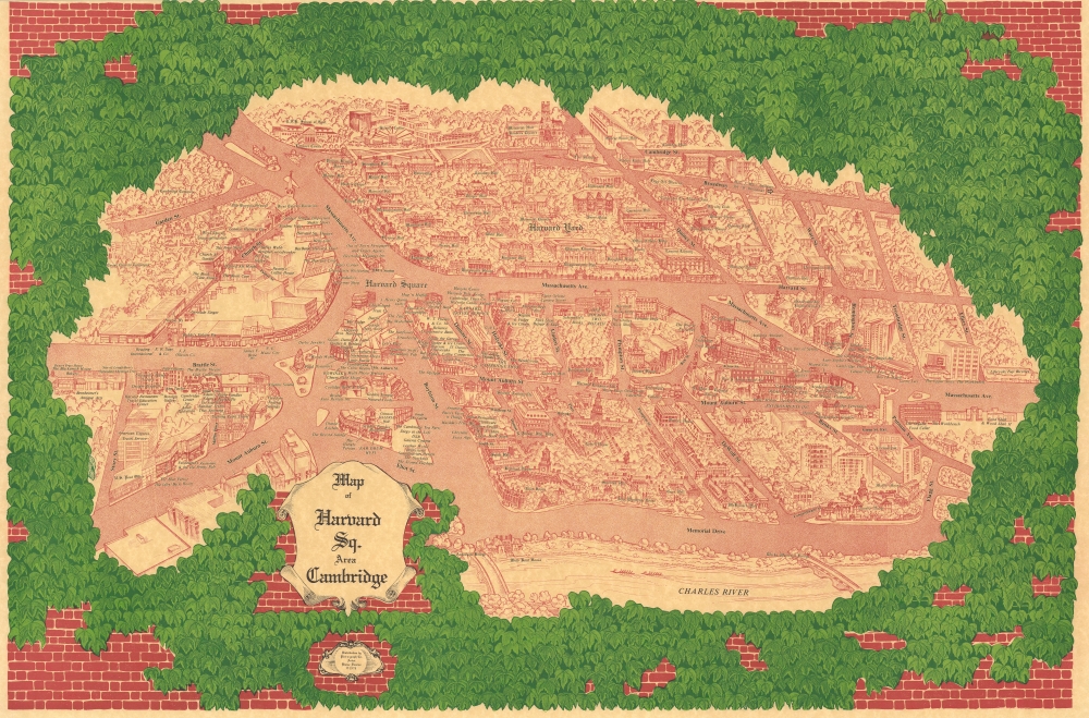
Map of Harvard Sq. Area Cambridge.
$600.00
Acquire
This is Blaise Domino's large-format 1978 pictorial bird's-eye view of Harvard Square and environs in Cambridge, Massachusetts, including Harvard Yard and much of the campus of Harvard University. (more details)
Rediscovering the Ancient 'Canal of the Pharaohs'
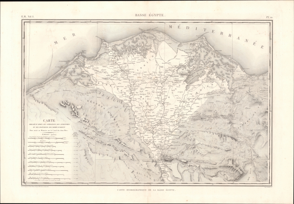
E. M. Vol. I. Pl. 10. Basse Égypte. Carte hydrographique de la Basse Égypte.
$550.00
Acquire
- Digital Map Information
- Suitable for large format printing
- File Size: 64.73 MB
- File Type: ZIP / TIFF
- ICC color profile embedded
- Delivered instantly via download link
This is a c. 1822 Pierre Jacotin and Gratien Le Père map of Lower Egypt and the Nile River Delta, prepared for the monumental work Description de l'Égypte. (more details)
1977 New York City Marathon.
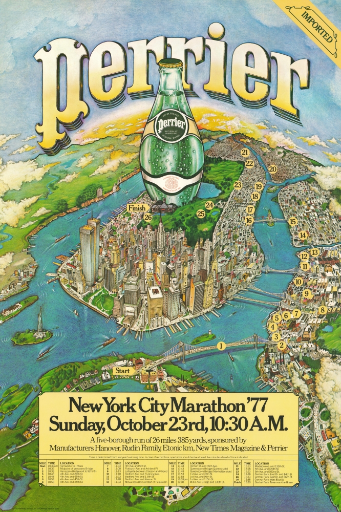
Perrier. New York City Marathon '77 Sunday, October 23rd, 10:30 A.M.
$500.00
Acquire
This is a 1977 promotional poster for the New York City Marathon, issued by Perrier. This famous poster celebrates the Marathon from a bird's-eye perspective, capturing the entire route and highlighting markers and landmarks. (more details)
All Miami has to offer.
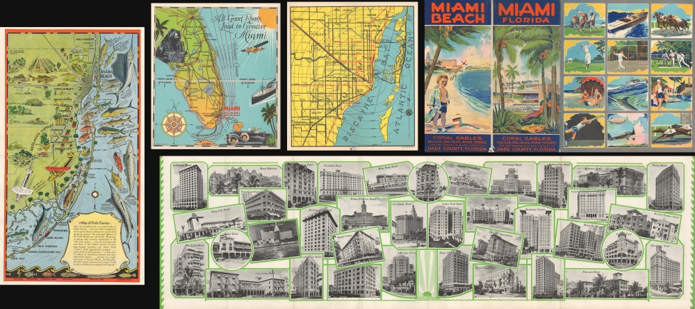
Miami Miami Beach.
$350.00
Acquire
This is a c. 1931 Miami and Miami Beach tourism brochure/booklet featuring pictorail maps by Richard V. Brown, Anthony J. Ziesler, and the Walton and Spencer Company. (more details)
Striking large-format map of New York City.

City and County Map of New-York Brooklyn, Williamsburgh, Jersey City and the adjacent Waters etc.
$15,000.00
Acquire
- Digital Map Information
- Suitable for large format printing
- File Size: 101.07 MB
- File Type: ZIP / TIFF
- ICC color profile embedded
- Delivered instantly via download link
This is J. H. Colton's large and impressive case map of New York City, including Brooklyn and Williamsburg. It is one of the largest and best maps of New York City to emerge in the mid-19th century. (more details)
Most important map in 18th century American history.
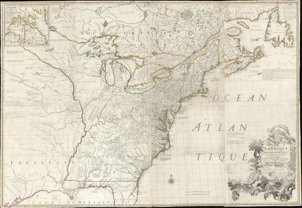
Amerique Septentrionale avec Les Routes, Distances et miles, Villages et Etablissements François et Anglois Par le Docteur Mitchel.
$12,000.00
Acquire
- Digital Map Information
- Suitable for large format printing
- Full resolution TIFF file
- ICC color profile embedded
- Delivered instantly via download link
This is the important 1777 Georges Le Rouge French edition of the seminal John Mitchell map of the eastern part of North America. The Mitchell map is considered the single most important map in 18th-century American history. It was used as a primary reference for nearly every treaty and boundary dispute in colonial North America from the French and Indian War (1754 - 1763) through the late 19th century. The map is all the more astounding because this is Mitchell's one and only map - a truly remarkable feat of virtuosity. (more details)