
NEW ACQUISITIONS
Adding California and chronicling Texas' changing borders.
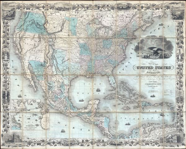
Map of the United States of America, the British Provinces, Mexico, the West Indies, and Central America: with part of New Granada and Venezuela.
$10,000.00
Acquire
- Digital Map Information
- Suitable for large format printing
- DPI: 300
- File Size: 70.47 MB
- File Type: ZIP / TIFF
- ICC color profile embedded
- Delivered instantly via download link
This is J. H. Colton's first edition 1849 map of the United States on the cusp of the California Gold Rush, in a fine example. The map depicts the United States immediately following the 1848 Treaty of Guadeloupe Hidalgo, including Texas at its largest and the Mexican Cession of Upper California (or New California). (more details)
'Towards thee I roll, thou all-destroying but unconquering whale...' -Melville

Sperm Whaling with Its Varieties.
$5,000.00
Acquire
- Digital Map Information
- Suitable for large format printing
- File Size: 21.24 MB
- File Type: ZIP / TIFF
- ICC color profile embedded
- Delivered instantly via download link
This is Benjamin Russell's stunning 1870 chromolithograph view of the American sperm whaling industry, printed by John Henry Bufford. (more details)
'The cat in gloves catches no mice...'
- Franklin
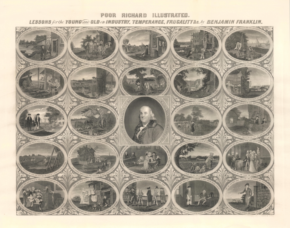
Poor Richard Illustrated. Lessons for the Young and Old on Industry, Temperance, Frugality and c. by Benjamin Franklin.
$2,500.00
Acquire
- Digital Map Information
- Suitable for large format printing
- File Size: 41.91 MB
- File Type: ZIP / TIFF
- ICC color profile embedded
- Delivered instantly via download link
A rare c. 1859 broadside illustrating the wit and wisdom of Benjamin Franklin (1706 - 1790). In mid-1800s, Franklin emerged as a near-mythic figure embodying the rags-to-riches dream, as well as the Amercian moral and intellectual values of ingenuity, hard work, thrift, and civic-mindedness. (more details)
Enigmatic lakes in the American West.
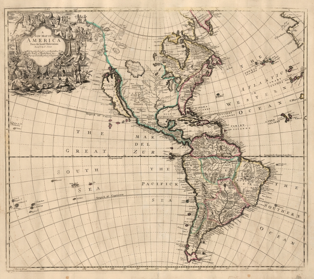
A New Map of America from the Latest Observations.
$2,500.00
Acquire
- Digital Map Information
- Suitable for large format printing
- File Size: 21.14 MB
- File Type: ZIP / TIFF
- ICC color profile embedded
- Delivered instantly via download link
This elegant English map of the Western Hemisphere, produced by John Senex in 1721, presents a fascinating glimpse of early Colonial America - increasingly detailed in the east, whilst retaining great misconceptions with regard to the western part of the continent. (more details)
Rare, Early Cadastral Map of New Zealand's Largest City, w/ Manuscript Annotations.
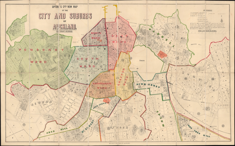
Upton and Co.'s New Map of the City and Suburbs of Auckland.
$2,400.00
Acquire
- Digital Map Information
- Suitable for large format printing
- File Size: 32.19 MB
- File Type: ZIP / TIFF
- ICC color profile embedded
- Delivered instantly via download link
This is Upton's scarce 1884 folding city plan and cadastral map of Auckland, New Zealand, printed by Wilson and Horton. It provides a fascinating glimpse into the early history and evolution of the fast-growing port city. (more details)
One of the Largest Prisoner of War Camps on the Eastern Front.
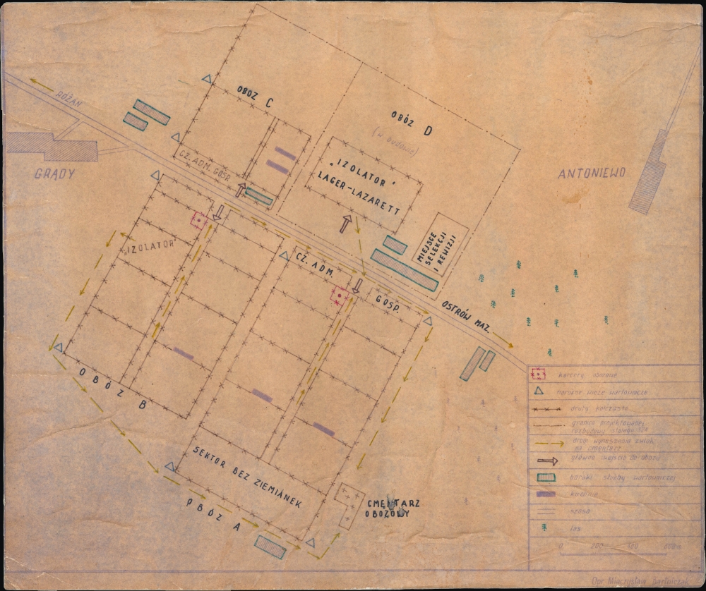
[Grądy / Antoniewo, Ostrów Mazowiecka].
$1,500.00
Acquire
This is Mieczysław Bartniczak's c. 1975 diazo and manuscript map of Stalag 324, a WWII prisoner of war camp near Grądy, Poland. A chilling example of the horrors of the Second World War, especially on the Eastern Front, the camp was a site of work, starvation, and death for the vast majority of those who entered it. (more details)
Last Gasps of Italian Fascism.
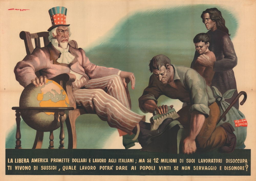
La libera America promette dollari e lavoro agli Italiani...
$1,500.00
Acquire
- Digital Map Information
- Suitable for large format printing
- File Size: 73.56 MB
- File Type: ZIP / TIFF
- ICC color profile embedded
- Delivered instantly via download link
This is a large-format 1944 Dante Coscia Italian fascist, anti-American propaganda poster. Intended to instill fear of the U.S. and Allied occupation of Italy, the poster stokes anti-Black racism, a common theme in Italian fascist propaganda, especially as the regime's control of the Italian Peninsula was slipping. (more details)
'Whosoever commands the sea commands the trade; whosoever commands the trade of the world commands the riches of the world.' -Raleigh
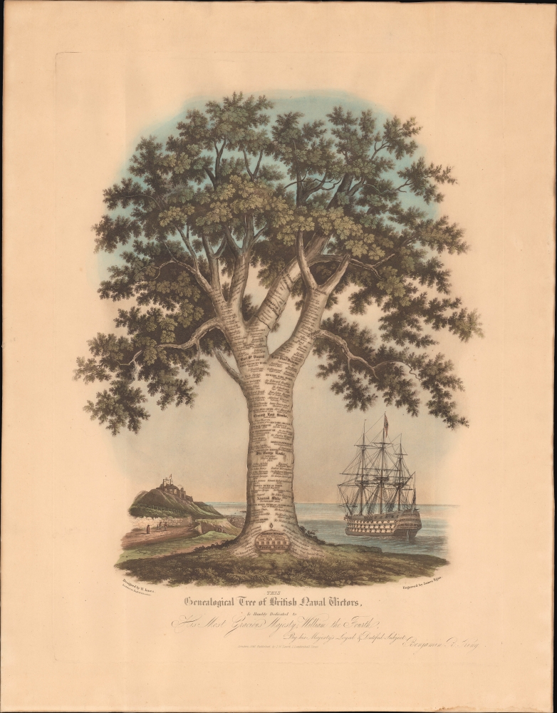
This Genealogical Tree of British Naval Victors Is Humbly Dedicated to His Most Gracious Majesty, William the Fourth...
$1,500.00
Acquire
- Digital Map Information
- Suitable for large format printing
- File Size: 657.93 MB
- File Type: ZIP / TIFF
- ICC color profile embedded
- Delivered instantly via download link
This is Henry Innes' aquatint 'genealogical tree' of British naval commanders, engraved by James Egan and published by J. W. Laird in 1841. The tree charts the growth and professionalization of the Royal Navy, along with the many victories by which it established itself as the preeminent power upon the world's seas. (more details)
Birth of Railroads in Northern New England.
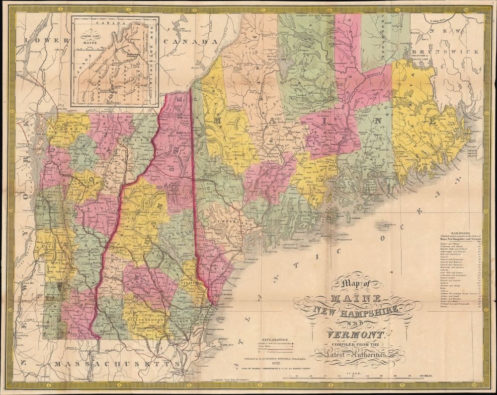
Map of Maine New Hampshire and Vermont compiled from the Latest Authorities. / Maine New Hampshire and Vermont.
$750.00
Acquire
- Digital Map Information
- Suitable for large format printing
- File Size: 23.18 MB
- File Type: ZIP / TIFF
- ICC color profile embedded
- Delivered instantly via download link
This is Samuel Augustus Mitchell's 1852 pocket map of Maine, New Hampshire, and Vermont, engraved by James Young. Among other features, it is especially important for illustrating the early development of railroad networks in these states. (more details)
Establishing the Kingdom of Prussia. First Edition!
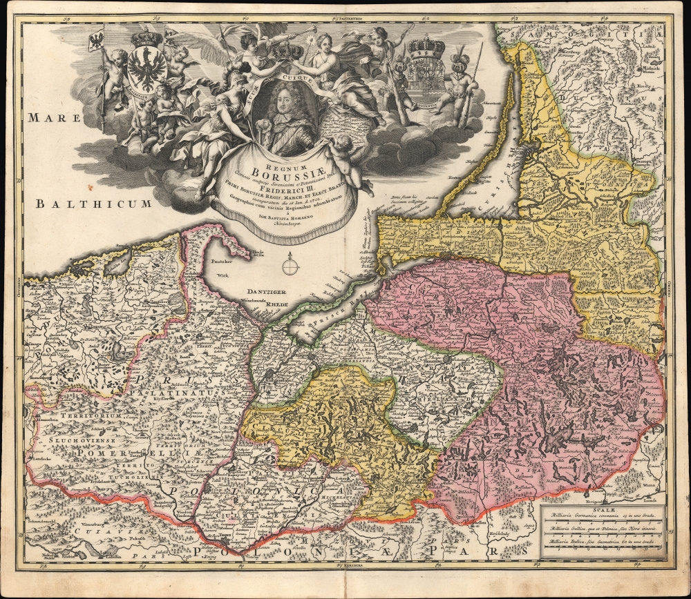
Regnum Borussiae: Gloriosis auspicÿs Serenissimi et Potentissimi Prin Friderici III. Primi Borussiae Regis, March. et Elect. Bran. inauguratum die 18. Ian. A. 1701. Geographice cum vicinis Regionibus adumbratum a Ioh. Baptista Homanno Norimbergae.
$600.00
Acquire
- Digital Map Information
- Suitable for large format printing
- File Size: 28.75 MB
- File Type: ZIP / TIFF
- ICC color profile embedded
- Delivered instantly via download link
This is first edition Johann Baptist Homann's c. 1710 map of the Kingdom of Prussia, produced to commemorate the day (January 18, 1701) on which Elector Friedrich III of Brandenburg crowned himself King Friedrich I in Prussia in Königsberg. The map displays the borders of the Kingdom of Prussia at its inception and presents a portrait of the new king framed by an ornate allegorical cartouche. (more details)
An Unusually Successful Olympic Games.
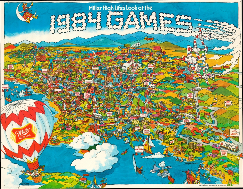
Miller High Life's Look at the 1984 Games.
$350.00
Acquire
This is William Wagner's 1984 promotional pictorial view of Los Angeles, produced for the Miller Brewing Company in tandem with the 1984 Olympic Games. (more details)
California gold-rush boomtowns.
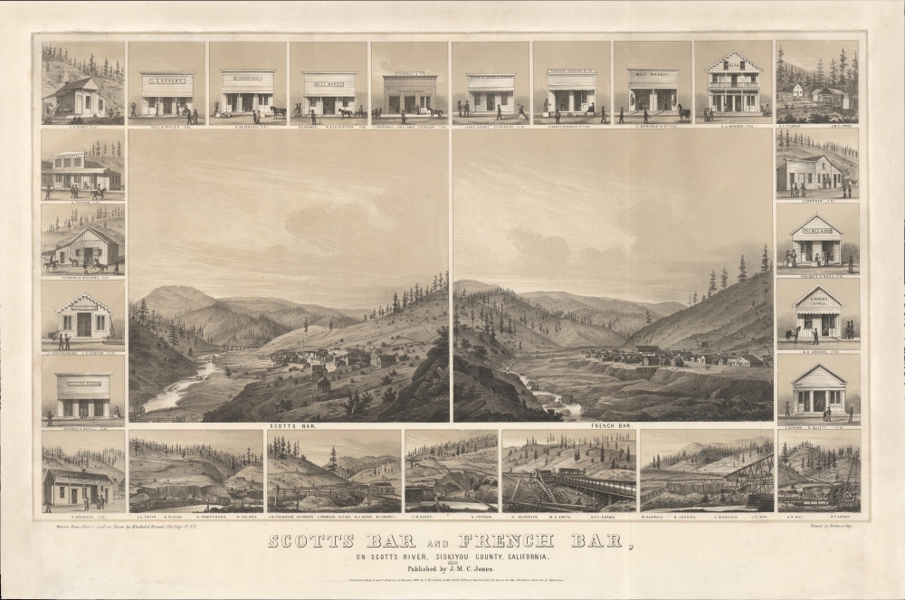
Scotts Bar and French Bar, on Scotts River, Siskiyou County, California.
$8,000.00
Acquire
- Digital Map Information
- Suitable for large format printing
- File Size: 737.07 MB
- File Type: ZIP / TIFF
- ICC color profile embedded
- Delivered instantly via download link
A remarkable 1856 two-color chromolithograph bird's-eye view of California gold mining boomtowns Scotts Bar and French Bar, Siskiyou County, California. The view reveals these boomtowns on Scotts River - a 60-mile-long tributary of the Klamath River - at the height of the Northern California Gold Rush. Today, they are both ghost towns. (more details)
Largest, most beautiful, and most important early map of Hawaii.
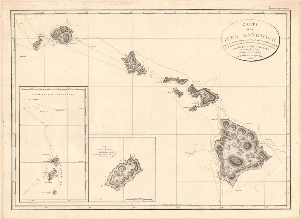
Carte des Iles Sandwich d'apres la reconnoissance qui en a ete faite dans les differentes relaches de la corvette La Decouverte et de sa conserve Le Chatham commandes par le Capt. Vancouver en 1792, 1793 et 1794.
$5,000.00
Acquire
- Digital Map Information
- Suitable for large format printing
- Full resolution TIFF file
- ICC color profile embedded
- Delivered instantly via download link
This is a beautiful example of George Vancouver's seminal 1799 map of the Hawaiian Islands, considered the largest, most important, and most beautiful map of Hawaii to appear in the 18th century. (more details)
Best specific map of Gramercy Park and Murray Hill issued the 19th century.
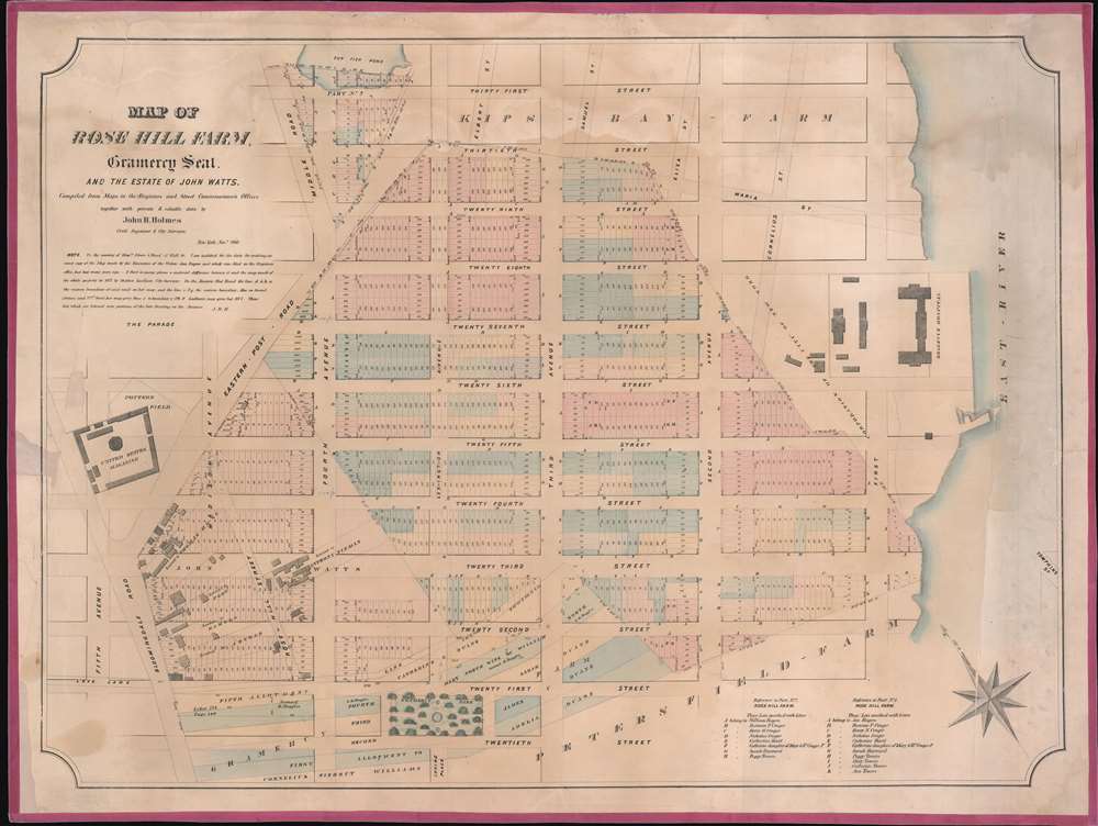
Map of Rose Hill Farm, Gramercy Seat, and the estate of John Watts.
$3,000.00
Acquire
- Digital Map Information
- Suitable for large format printing
- File Size: 29.4 MB
- File Type: ZIP / TIFF
- ICC color profile embedded
- Delivered instantly via download link
This is a John Bute Holmes 1866 cadastral map of parts of the Gramercy, Rose Hill, and Kips Bay neighborhoods in the borough of Manhattan in New York City. (more details)
Early view of America's whaling capital.
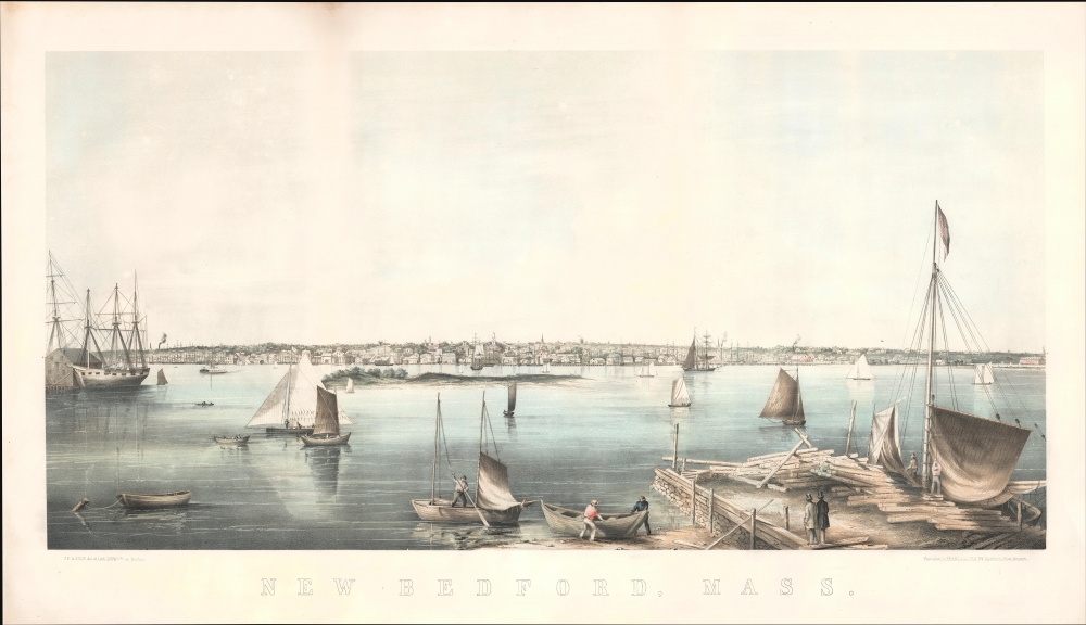
New Bedford, Mass.
$2,500.00
Acquire
- Digital Map Information
- Suitable for large format printing
- File Size: 23.58 MB
- File Type: ZIP / TIFF
- ICC color profile embedded
- Delivered instantly via download link
This is a c. 1858 Joseph Foxcroft Cole view of New Bedford, Massachusetts, the whaling capital of the United States in the leadup to the American Civil War (1861 - 1865). (more details)
First river guide to the Grand Canyon!
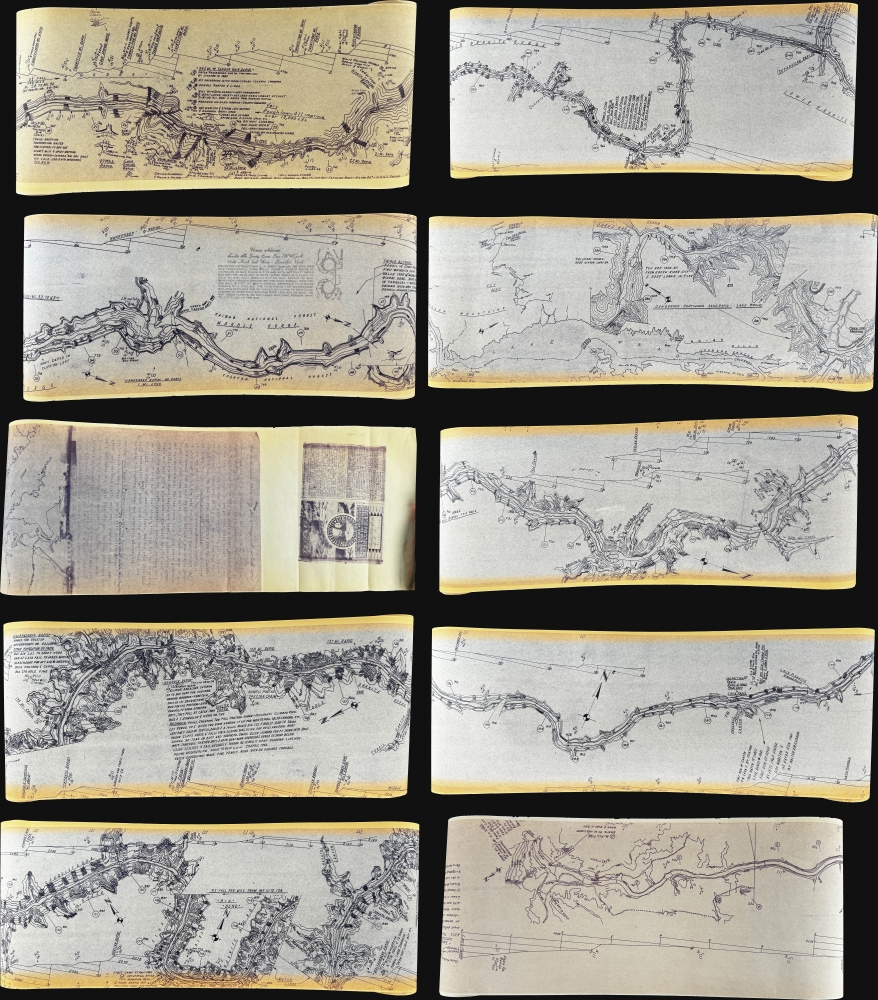
[Les Jones Grand Canyon River Guide].
$2,000.00
Acquire
A striking 1962 river guide map of the Grand Canyon on a long scroll designed by Leslie Allen 'Buckethead' Jones. Measuring just 7.5 inches high, but roughly 45 feet long, the map follows the Colorado River from Lee's Ferry to Lake Mead, passing fully through the Grand Canyon. This made-to-order map is the precursor to the modern riverman's guide and represents the first specific guide to the Grand Canyon intended for river-runners. (more details)
Longest bridge, tallest building!
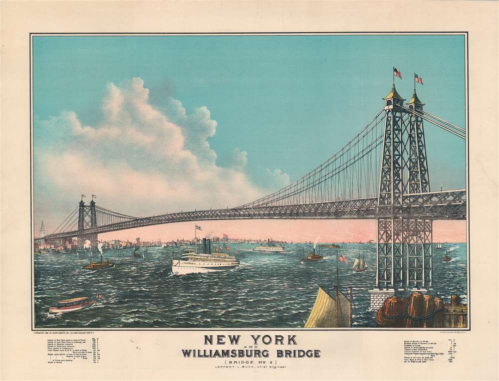
New York and Williamsburg Bridge (Bridge No. 2).
$1,800.00
Acquire
- Digital Map Information
- Suitable for large format printing
- File Size: 46.42 MB
- File Type: ZIP / TIFF
- ICC color profile embedded
- Delivered instantly via download link
A rare 1916 chromolithograph Charles Hart and Joseph Koehler view of the Williamsburg Bridge, Brooklyn, New York City. The view captures two world records: the tallest building in the form of the Met Life Tower (1909) and the Williamsburg Bridge, the longest suspension bridge. (more details)
Anti-American.
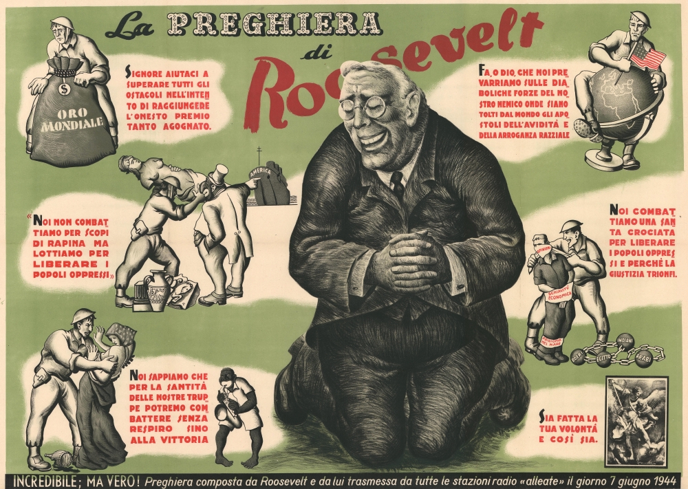
La Preghiera di Roosevelt.
$1,300.00
Acquire
- Digital Map Information
- Suitable for large format printing
- File Size: 75.37 MB
- File Type: ZIP / TIFF
- ICC color profile embedded
- Delivered instantly via download link
Printed in 1944 during World War II and shortly after the Allies seized Rome and the D-Day landings in Normandy, this anti-American anti-Roosevelt broadside was published by Italian fascists to expose what they considered to be American hypocrisy. It references American President Franklin D. Roosevelt's 'D-Day Prayer,' broadcast on June 6, 1944. The broadside centers on an imposing caricature of Roosevelt kneeling with hands folded and eyes closed, as if in prayer. To both his right and left, text bubbles appear, almost ephemerally as if in a dream, stating Roosevelt's wishes for the coming battles and, ultimately, final unconditional victory. Each phrase is accompanied by a vignette that does not illustrate Roosevelt's words, but what the Italian fascist creator of this broadside wants its viewers to understand from the words. Perhaps, the creator even references the reality of what the war had become, instead of Roosevelt's sanitized and propagandized pleas to Almighty God. (more details)
Subjectivity, Anti-capitalism, Black Nationalism, Collective action.
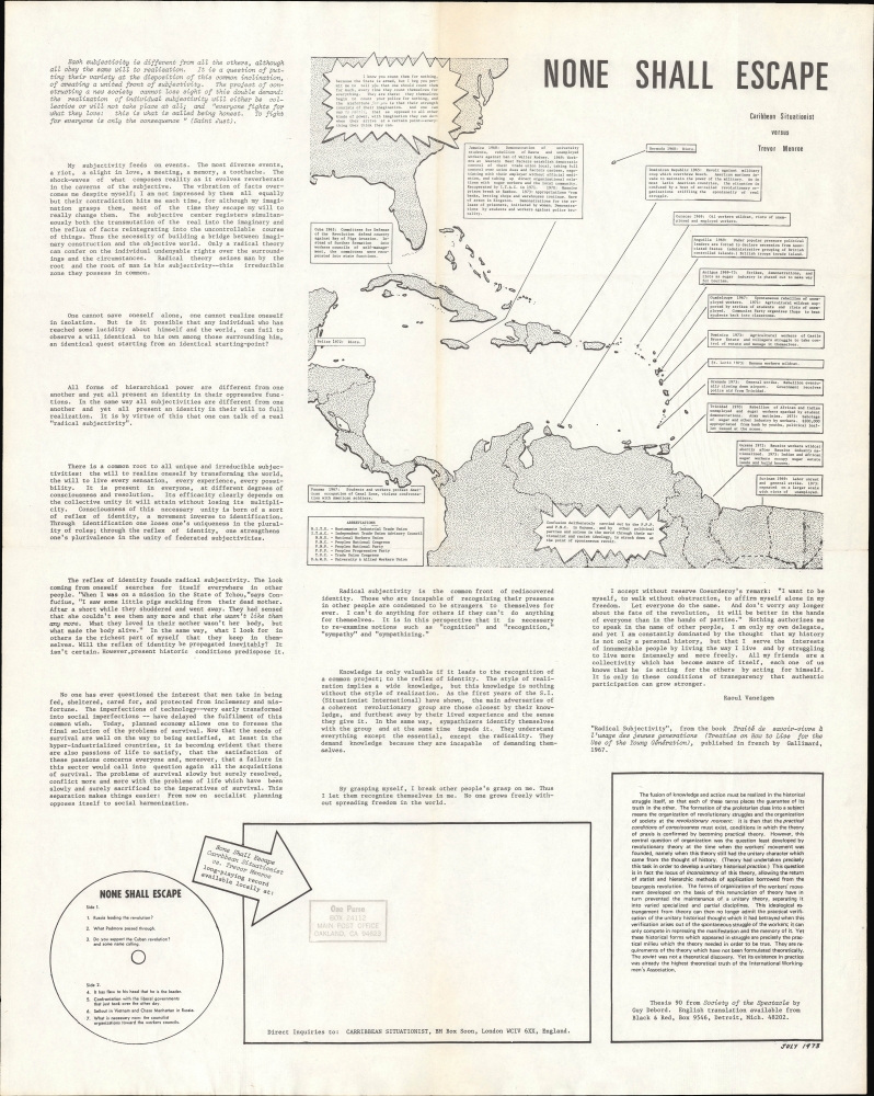
None Shall Escape Caribbean Situationist versus Tervor Menroe.
$800.00
Acquire
This is a 1973 Caribbean Situationist map and political broadside that was included with a record distributed by the organization. It includes Situationist philosophical texts and relates incidents of political unrest and black nationalism throughout the Caribbean in the preceding years. (more details)
Who's Who of Old Boston.
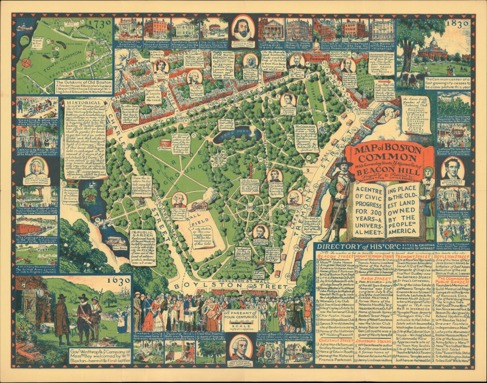
Map of Boston Common with Surrounding Streets and Adjacent Parts of Beacon Hill...
$600.00
Acquire
- Digital Map Information
- Suitable for large format printing
- File Size: 44.23 MB
- File Type: ZIP / TIFF
- ICC color profile embedded
- Delivered instantly via download link
This is Griswold Tyng's 1930 pictorial historical map of Boston Common and its surroundings in Boston, Massachusetts. (more details)