
NEW ACQUISITIONS
Mojave Mines.
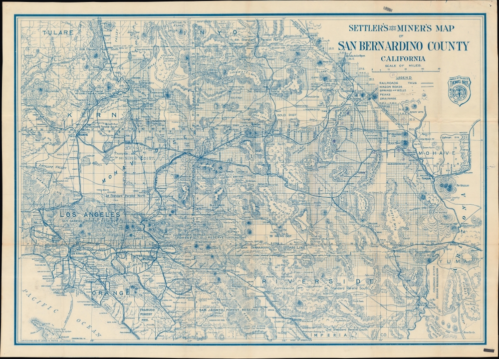
Settler's and miner's map of San Bernardino County California.
$450.00
Acquire
- Digital Map Information
- Suitable for large format printing
- File Size: 62.98 MB
- File Type: ZIP / TIFF
- ICC color profile embedded
- Delivered instantly via download link
A scarce, large-format 1932 James H. Payne map of San Bernardino County, California, published by Thomas Brothers. True to its title, it particularly highlights mines, water sources, and railroads. (more details)
'Little Switzerland of America'.
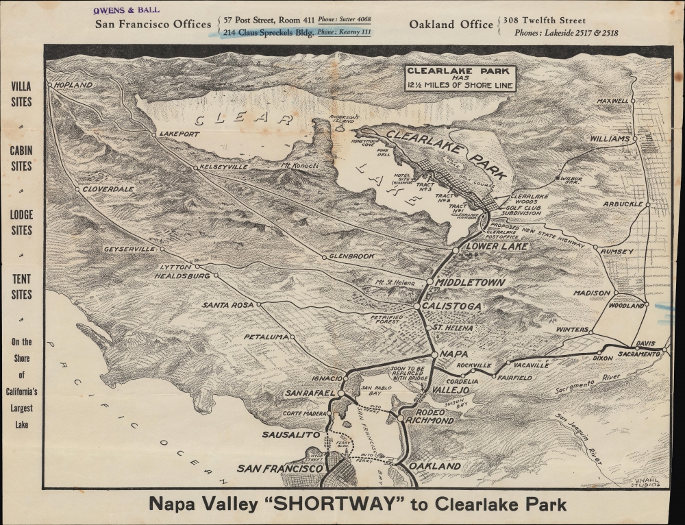
Napa Valley 'Shortway' to Clearlake Park.
$400.00
Acquire
- Digital Map Information
- Suitable for large format printing
- File Size: 16.39 MB
- File Type: ZIP / TIFF
- ICC color profile embedded
- Delivered instantly via download link
An unrecorded c. 1927 V. Nahl Studios promotional bird's-eye view of Napa Valley and Lake County, California. Distributed by a real estate broker, it advertises the Clearlake Park development, connected to the Bay Area by a recently completed highway called the Napa Valley 'Shortway'. (more details)
America's West Indian paradise.
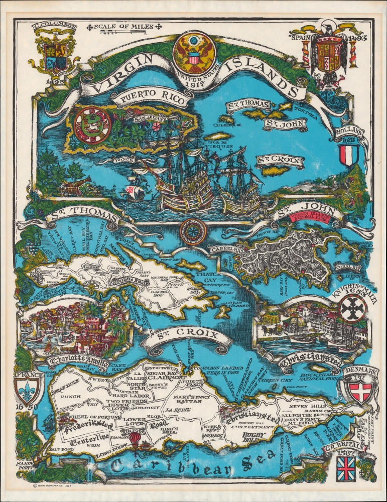
Virgin Islands United States 1917.
$350.00
Acquire
A colorful pictorial map of the U.S. Virgin Islands, prepared and published in 1966 by Island Workshop. The map abounds with historical references to the islands' colonial past, when, at various points, they were divided between the empires of multiple European nations and entities. (more details)
Understanding the Enemy.
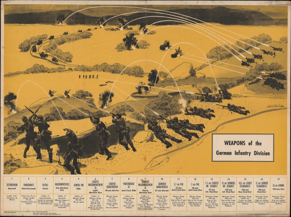
Weapons of the German Infantry Division.
$275.00
Acquire
- Digital Map Information
- Suitable for large format printing
- File Size: 59.82 MB
- File Type: ZIP / TIFF
- ICC color profile embedded
- Delivered instantly via download link
A curious 1943 World War II Newsmap prepared and distributed by the Army Orientation Course, set up by the Army Orientation Branch. This Newsmap was issued to educate American soldiers on German weapons and capabilities during the offensive drive northward through Italy. (more details)
First separate map of the Pacific - in an exceptional old color example.
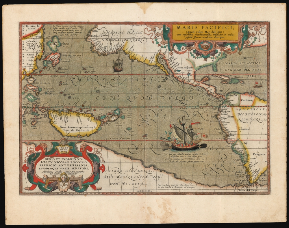
Maris Pacifici (quod vulgo Mar del Zur).
$17,500.00
Acquire
- Digital Map Information
- Suitable for large format printing
- Full resolution TIFF file
- ICC color profile embedded
- Delivered instantly via download link
This is Abraham Ortelius' 1589 map of the Pacific; here is the best example to appear on the market in recent years, with a strong strike and fine original color. Abraham Ortelius' map is as important as it is beautiful - Burden hailed it as 'one of the most important maps that appeared in the Ortelius atlases' and 'one of Ortelius' most desirable maps'. The map is not only the first to focus on the Pacific Ocean, but it is also the first acquirable map to separately identify North and South America. (more details)
The rarest and most striking Temperance broadside.
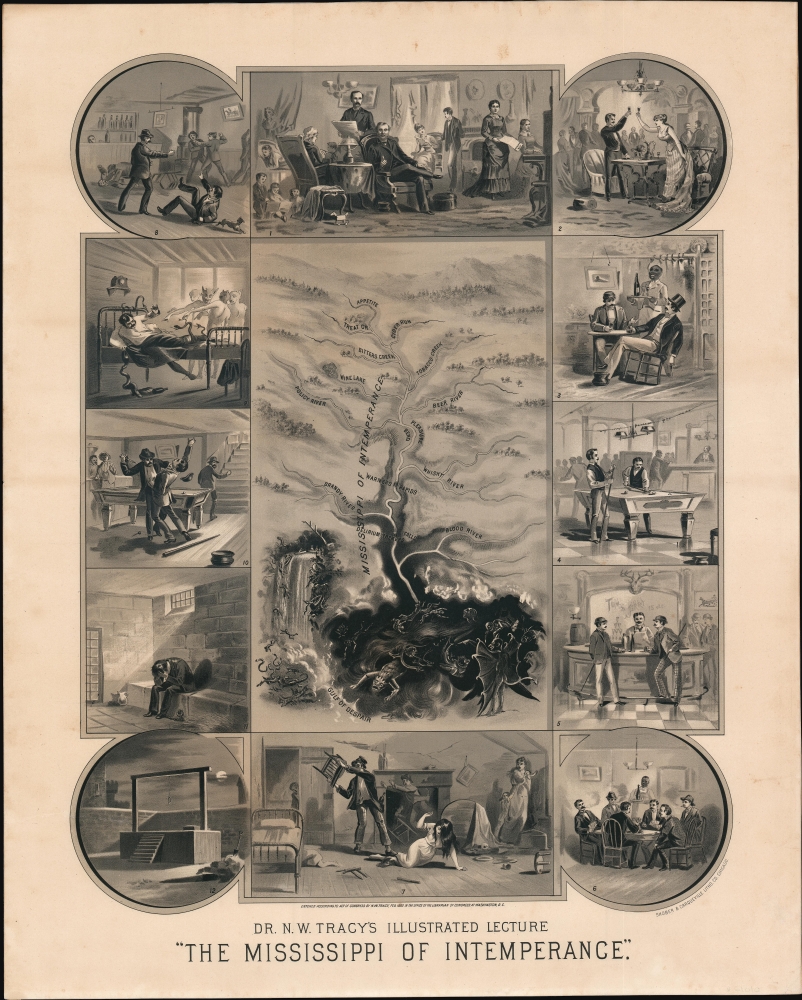
The Mississippi of Intemperance.
$9,500.00
Acquire
- Digital Map Information
- Suitable for large format printing
- File Size: 48.34 MB
- File Type: ZIP / TIFF
- ICC color profile embedded
- Delivered instantly via download link
This is perhaps the most extraordinary and certainly one of the rarest temperance broadsides to emerge out of the 19th century. Designed by 'Dr.' Nathan W. Tracy, this allegorical broadside employs the metaphor of the Mississippi River to describe the progression and dangers of alcoholism. Center to the image is a combination view and map representing the 'Mississippi of Intemperance' illustrated with a vignette of the dreaded Delirium Tremens Falls. Surrounding the main map are 12 framed vignette images detailing the decline of the drunkard. At top center, a large image reveals a happy sober man at home with his family - the Temperance ideal. Moving clockwise from this image, further illustrations depict happy toasting with a young lady, enjoying wine with a friend, playing pool at a saloon, enjoying a 'Tom and Jerry' (an early cocktail) at a bar, and a poker game. To our eye, the right side looks fun, but bottom center illustrates the turning point - an illustration that could have been taken from Tracy's own abusive life - where a drunken husband is beating his wife and children. From here, the progression is taken up at top left, where our drunkard hero gets involved in bar fights, experiences delirium tremens, commits murder in a pool hall, lands himself in prison, and ultimately meets his fate at the gallows. (more details)
Produced by Poland's Nazi-Hunting Commission.
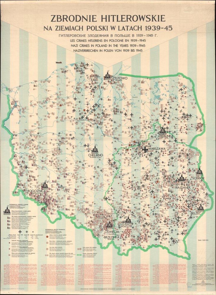
Zbrodnie Hitlerowskie na Ziemiach Polski w Latach 1939-45. [Hitler's Crimes in Poland 1939-45.]
$6,000.00
Acquire
A chilling 1971 wall map documenting Hitler's war crimes in Poland published for the Polish commission established to hunt and prosecute Nazi war criminals. The map's scope, focus, and execution transcend the purely geographic in illustrating the horrors of the Holocaust. Its extreme significance reflects broad efforts by scholars, mapmakers, and other researchers throughout the 1960s-70s to record and preserve knowledge of the Holocaust. It is ever more poignant in the light of modern revisionist historical research that has re-evaluated the Polish role in the Holocaust, as well as efforts by the current Polish government to legislate and control the historical record. (more details)
A Grand North America with California as an island and a speculative Great Lakes.
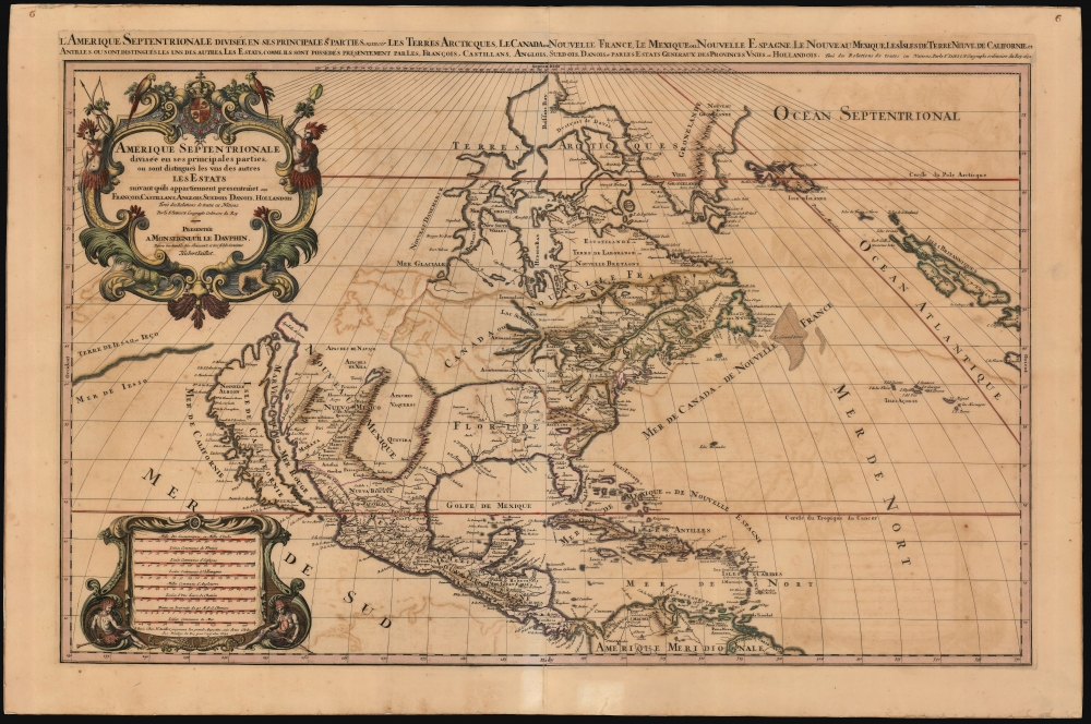
Amerique septentrionale divisée en ses principales parties, ou sont distingués les vns des autres les estats suivant qu'ils appartiennent presentemet aux Francois, Castillans, Anglois, Suedois, Danois, Hollandois, tirée des relations de toutes ces nations par le S. Sanson, geographe ordinaire du roy. 1692.
$3,000.00
Acquire
- Digital Map Information
- Suitable for large format printing
- File Size: 45.47 MB
- File Type: ZIP / TIFF
- ICC color profile embedded
- Delivered instantly via download link
This is Alexis-Hubert Jaillot's impressive and scarce 1692 map of North America. The map offers much of interest, including a bold presentation of California as an Island, evidence of otherwise unpublished preliminary data from the 1673 Marquette-Joliett Expedition of the upper Mississippi watershed, a hopeful open-ended mapping of the western Great Lakes, and a large apocryphal freshwater sea in Appalachia. (more details)
Rehabilitating Hangtown.
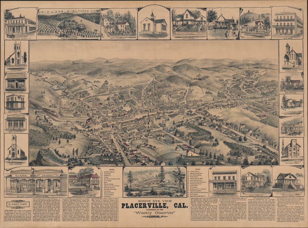
Bird's Eye View Placerville, Cal.
$2,500.00
Acquire
- Digital Map Information
- Suitable for large format printing
- File Size: 693.24 MB
- File Type: ZIP / TIFF
- ICC color profile embedded
- Delivered instantly via download link
A scarce 1888 Louis Henry Roethe bird's-eye view of Placerville, California, popularly known as 'Hangtown'; for its raucous and violent history during the Gold Rush. Presenting a more urbane image of the town several decades after the Gold Rush, the view nonetheless references Placerville's tumultuous past. (more details)
George Salmon's 'Out of the Labryinth' Subway map design.
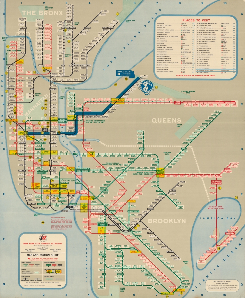
Map and Station Guide.
$2,250.00
Acquire
This is a 1964 New York City Transit Authority in-station subway map by George Salomon highlighting the 1964 New York World's Fair. Large-scale subway maps like this were made for in-station display only and were neither sold nor otherwise distributed to the public. Moreover, as the subway evolved, they quickly fell out of date, and most examples thus destroyed, making them exceptionally rare discoveries. Focusing on the World's Fair, this map would have remained relevant only for months. (more details)
Magnificent, updated plan of Amsterdam.
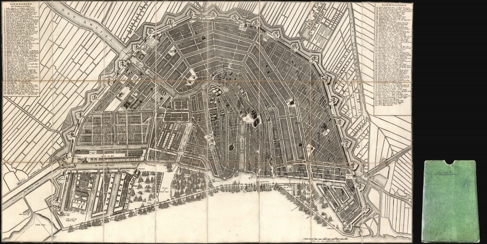
[Plan de la Grande et Fameuse Ville Marchande d'Amsterdam. / Plan van de Wyd Vermaarde en Beroemde Koop Stad Amsterdam.]
$2,000.00
Acquire
- Digital Map Information
- Suitable for large format printing
- Full resolution TIFF file
- ICC color profile embedded
- Delivered instantly via download link
This is the final 1814 Covens and Mortier issue of this large, beautifully engraved Nicolas Visscher II map of Amsterdam. It was originally entitled Plan de la Grande et Fameuse Ville Marchande d'Amsterdam / Plan van de Wyd Vermaarde en Beroemde Koop Stad Amsterdam, but in this state of the plan, the increasingly unfashionable cartouche has been removed, along with the title the plan had borne for a near a century. Architect Daniel Stalpaert initially compiled the plan. It was printed by Nicolas Visscher and was notable as one of the earliest depictions of the iconic ring canals, which were added to the city in the first half of the seventeenth century. The plan is oriented to the south-southwest to display the vibrant port, teeming with ships. It is a magnificently detailed work, with nearly three hundred streets named and numbered. Particularly famous or important structures are illustrated pictorially, as are the windmills built around the city to operate the canal system. (more details)
Leige as a Renaissance Cathedral Town.
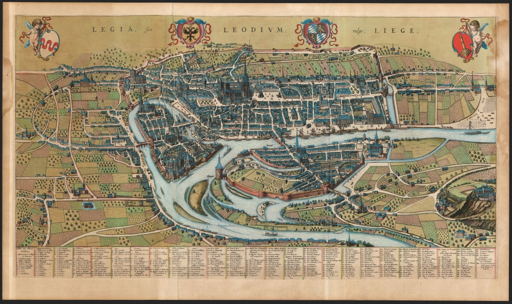
Legia, Sive Leodium; vulgo, Liege.
$2,000.00
Acquire
- Digital Map Information
- Suitable for large format printing
- File Size: 52.24 MB
- File Type: ZIP / TIFF
- ICC color profile embedded
- Delivered instantly via download link
This large, detailed, and ornate bird's-eye view style map of Liege, Belgium, was produced by Joan Blaeu in 1649 for inclusion in his city atlas of the Netherlands. (more details)
Early edition of the most accurate map of Scandinavia of its day.
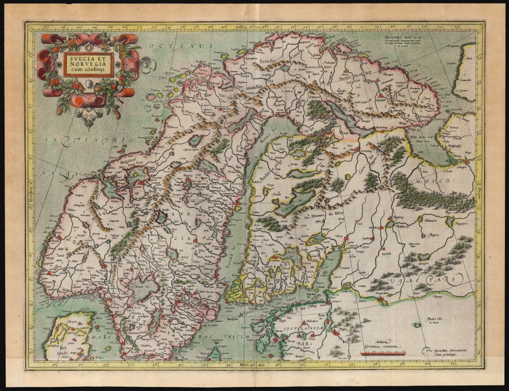
Suecia Et Norvegia cum confinijs.
$1,750.00
Acquire
- Digital Map Information
- Suitable for large format printing
- File Size: 21.56 MB
- File Type: ZIP / TIFF
- ICC color profile embedded
- Delivered instantly via download link
An attractive example of Gerard Mercator's 1595 map of Scandinavia, in its first French atlas edition of 1609. Among the maps of the northern parts of Europe produced in the sixteenth century, this is the first to focus narrowly on Scandinavia. Ginsberg, typically laconic in praise, notes that the map 'gave the Scandinavian peninsula its correct form' and 'became the model for nearly all subsequent maps of Scandinavia.' This basic model would stand until supplanted in the mid-17th century by the work of Anders Bure. (more details)
California's Other Tinseltown.
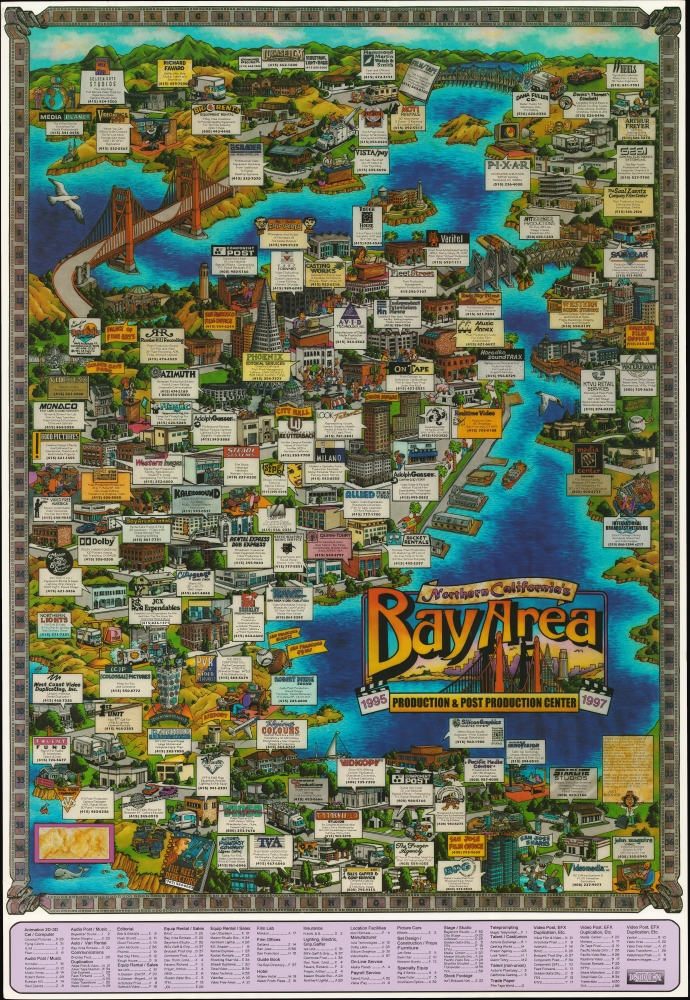
Northern California's Bay Area Production and Post Production Center 1995 1997.
$950.00
Acquire
A scarce 1994 pictorial promotional map of the San Francisco Bay Area, produced by Bayside Promotions. It highlights businesses related to the region's often-underappreciated film industry. (more details)
Revolutionaries Pull Down the Statue of George III, as Imagined by a Monarchist.
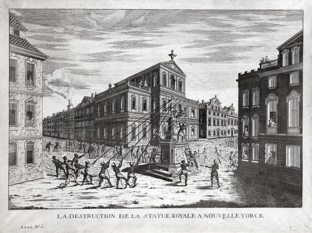
La Destruction de la Statue Royale a Nouvelle Yorck.
$900.00
Acquire
- Digital Map Information
- Suitable for large format printing
- Full resolution TIFF file
- ICC color profile embedded
- Delivered instantly via download link
This is Franz Xaver Habermann's engraving, showing his conception of the unrest gripping the city of New York following the reading of the Declaration of Independence on July 9, 1776 and the onset of the American Revolutionary War (1775 - 1783). The view refers to a historical event: The reading of the Declaration so emboldened the patriotic crowd that they tore down the statue of King George III, decapitated it, broke it into pieces - and shipped the remains to Connecticut, where the 4000 pounds of lead were melted down to cast 40,000 bullets, to be used against the British. (The head was set on a pike outside of Moore’s Tavern near Fort Washington, but was rescued by loyalists - including British officer, military engineer and mapmaker John Montresor - and eventually sent back to England.) New Yorkers never did like the statue: in 1773 an anti-graffiti, anti-desecration law was enacted in the city expressly to protect the statue from the abuse it regularly received. (more details)
First modern victory in war of an Asian over a European power.
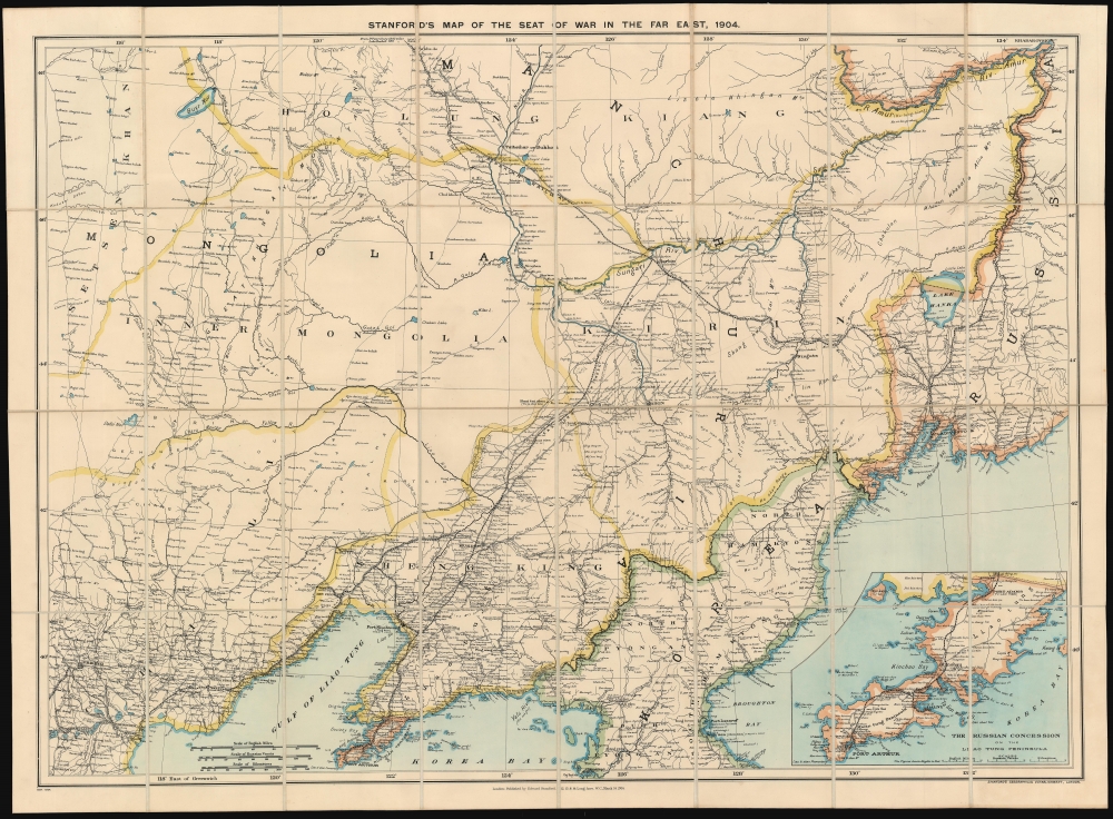
Stanford's Map of the Seat of War in the Far East, 1904.
$900.00
Acquire
- Digital Map Information
- Suitable for large format printing
- File Size: 68.71 MB
- File Type: ZIP / TIFF
- ICC color profile embedded
- Delivered instantly via download link
A scarce 1904 map of China, Manchuria, Mongolia, and northern Korea issued by Stanford's Geographical Establishment to illustrate the theater of the Russo-Japanese War (1904 - 1905). Coverage extends from Beijing to Vladivostok, and from the Amur River to Port Arthur (Lüshunkou), making this one of the most highly detailed and masterful executed contemporaneous maps to illustrate the war. (more details)
Summer Saunterings.
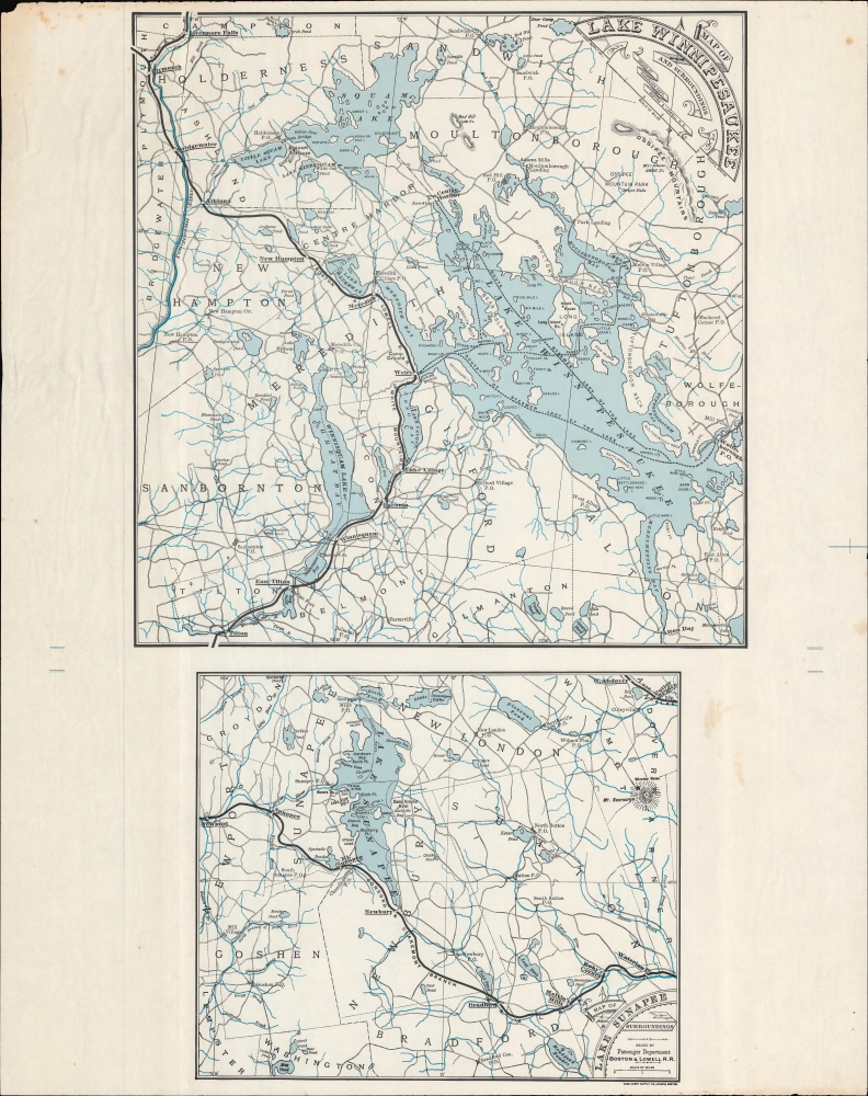
Map of Lake Winnipesaukee and Surroundings. / Map of Lake Sunapee and Surroundings.
$600.00
Acquire
- Digital Map Information
- Suitable for large format printing
- File Size: 265.63 MB
- File Type: ZIP / TIFF
- ICC color profile embedded
- Delivered instantly via download link
A scarce c. 1885 map of Lake Winnipesaukee and Lake Sunapee in New Hampshire, printed by the Rand Avery Supply Co. for the Boston and Lowell Railroad. It demonstrates the importance of the railroad as the main means by which well-heeled Bostonians of the time escaped the city in summer months to the cooler, more scenic environs of New Hampshire. (more details)
Promoting the 'push-button' war of Tomorrow!
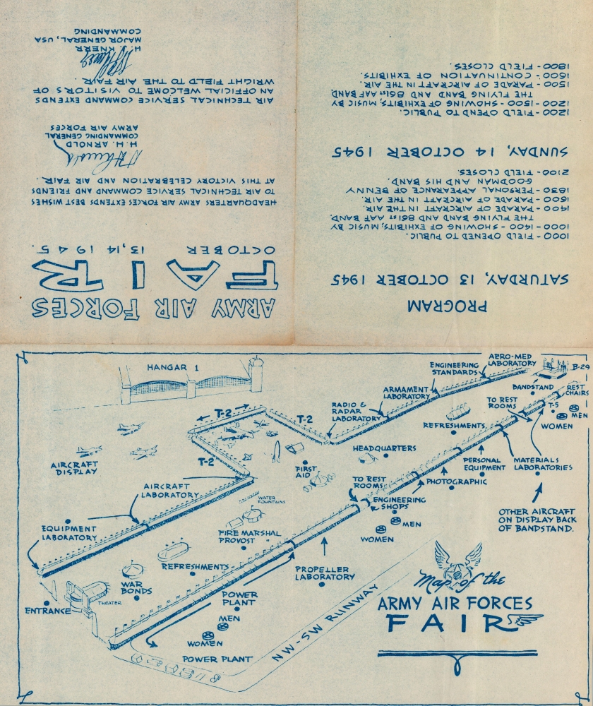
Map of the Army Air Forces Fair.
$250.00
Acquire
- Digital Map Information
- Suitable for large format printing
- Full resolution TIFF file
- ICC color profile embedded
- Delivered instantly via download link
This is a 1945 United States Army Air Forces map of the Army Air Forces Fair at Wright Field in Dayton, Ohio, today's Wright-Patterson Air Force Base. Army officials called the fair 'the largest spectacle of its kind ever staged anywhere,' where many previously classified aircraft and other projects were presented. (more details)
Gold Rush Boomtown to outdoor wonderland.
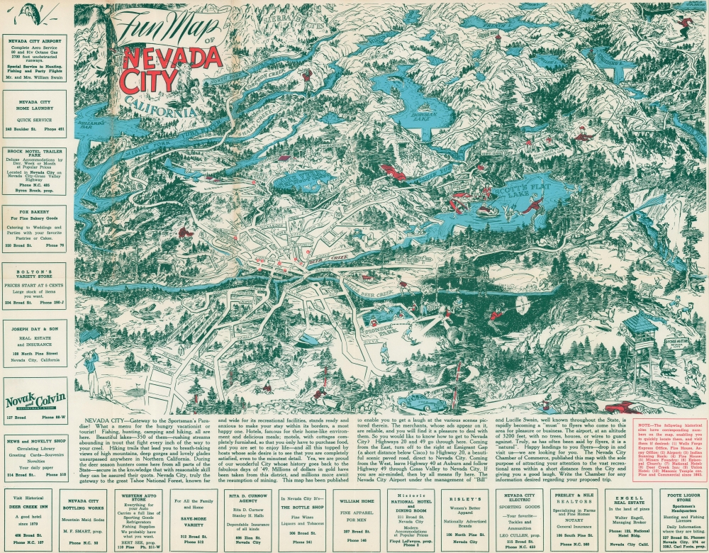
Fun Map of Nevada City California.
$225.00
Acquire
- Digital Map Information
- Suitable for large format printing
- File Size: 26.71 MB
- File Type: ZIP / TIFF
- ICC color profile embedded
- Delivered instantly via download link
This is a c. 1950 George Mathis pictorial map of Nevada City, California. Formerly a Gold Rush boom town, the Nevada City of today is a magnet for outdoor enthusiasts. (more details)
A rare map chronicling the history of an Indian Reservation in Oregon.
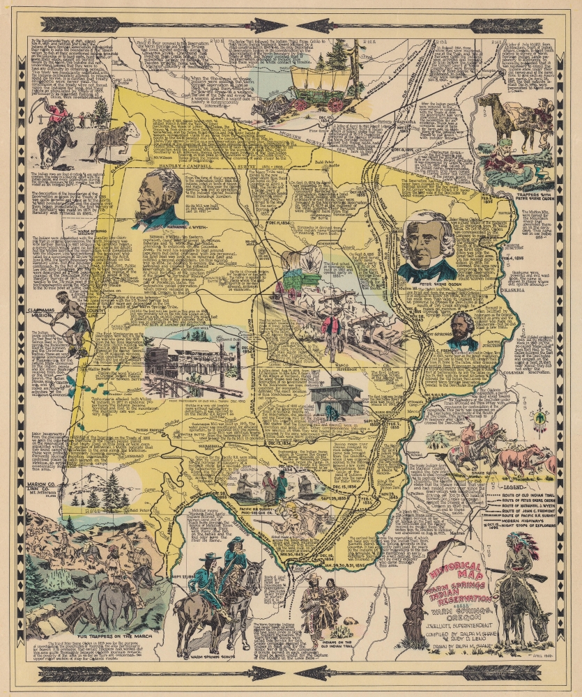
Historical Map Warm Springs Indian Reservation.
$200.00
Acquire
- Digital Map Information
- Suitable for large format printing
- File Size: 21.14 MB
- File Type: ZIP / TIFF
- ICC color profile embedded
- Delivered instantly via download link
This is the 1949 first edition of Ralph M. Shane pictorial map of the Warm Springs Indian Reservation, Oregon. Shane, who worked for the Bureau of Indian Affairs, delivers a detailed graphic history of the reservation and region. (more details)