
NEW ACQUISITIONS
Acadia National Park!
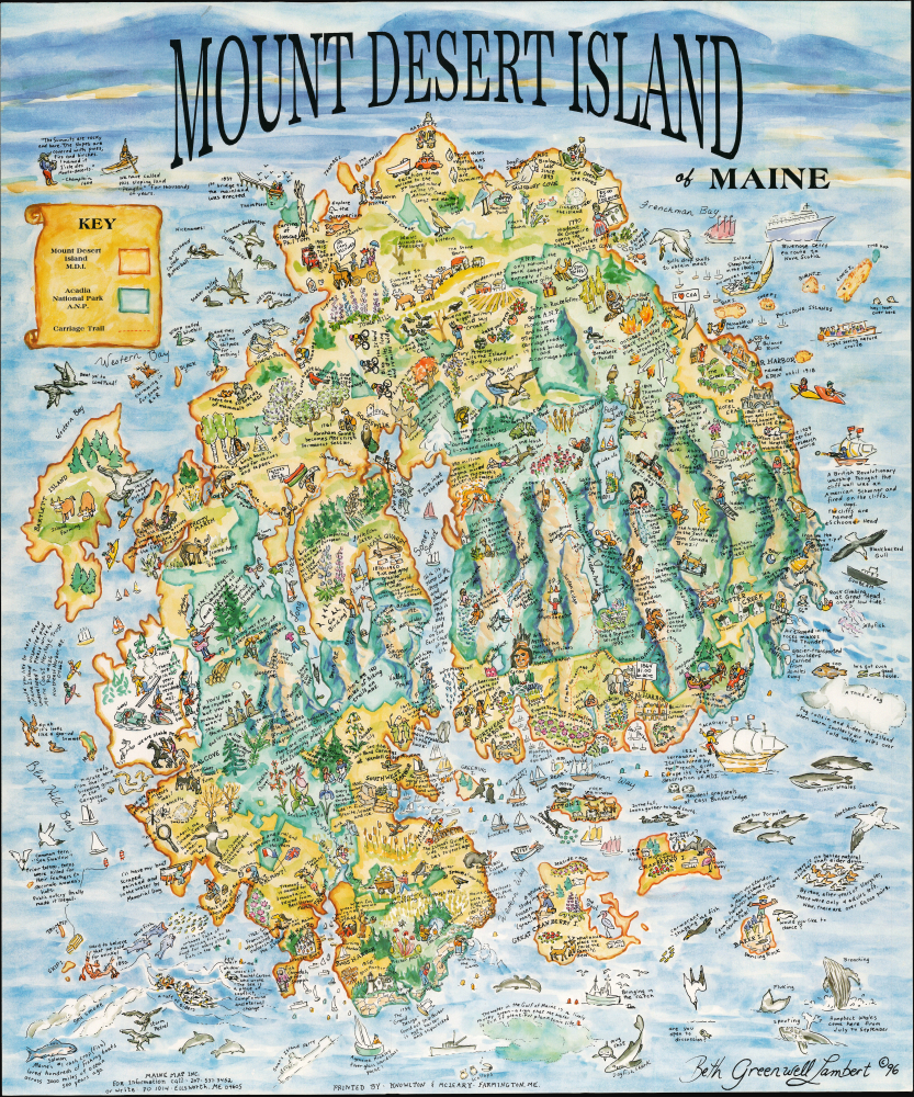
Mount Desert Island of Maine.
$850.00
Acquire
This is a striking 1996 Beth Greenwell Lambert pictorial and historical map of Mount Desert Island, Maine, home of Acadia National Park and one of the sparkling gems of the state's long scenic coastline. Among other features, it focuses on the island's magnificent wildlife and its surrounding waters. (more details)
Ephemeral record of WWII occupied Damascus.
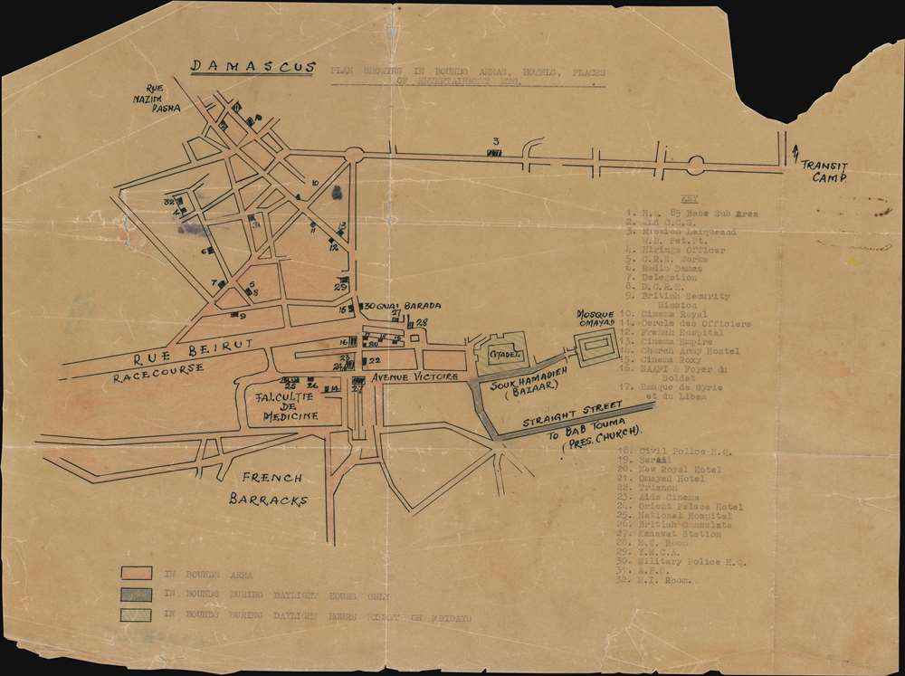
Damascus Plan Showing the In Bounds Areas, Hotels, Places, of Entertainment Etc.
$550.00
Acquire
- Digital Map Information
- Suitable for large format printing
- Full resolution TIFF file
- ICC color profile embedded
- Delivered instantly via download link
This is a one-of-a-kind c. 1942 manuscript map of Damascus, Syria, created during the British occupation of the city after the successful June 1941 battle during the World War II Syria-Lebanon Campaign. It illustrates those parts of Damascus accessible to, and forbidden to, Allied soldiers. (more details)
Was Puck Empfiehlt.
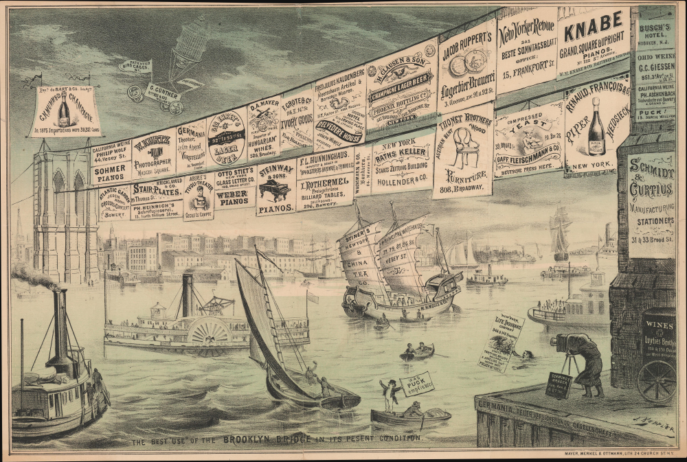
The Best 'Use' of the Brooklyn Bridge in Its Present Condition.
$550.00
Acquire
- Digital Map Information
- Suitable for large format printing
- Full resolution TIFF file
- ICC color profile embedded
- Delivered instantly via download link
This is a curious c. 1879 Joseph Keppler satirical broadside, issued for Puck, lampooning the state of construction on the Brooklyn Bridge, which had begun nearly a decade earlier. The bridge project, during its long construction, suffered numerous setbacks and was only accomplished thanks to the herculean efforts of the Roebling engineering family, which led the project, and the many workers who toiled to bring the bridge to completion. (more details)
Land Booms: Vacation Capital of South Florida.

Tampa The Vacation Capital of South Florida. / Tampa Florida's Convenient Vacation Center.
$375.00
Acquire
- Digital Map Information
- Suitable for large format printing
- Full resolution TIFF file
- ICC color profile embedded
- Delivered instantly via download link
This is a c. 1930 Tampa Chamber of Commerce pictorial promotional map designed to attract tourists and migrants to the wider Tampa Bay region. It was issued near the end of the Florida Land Boom of the 1920s and maintains the ambition and unbound optimism that had driven breakneck development in Florida in the preceding years. (more details)
'The World has never before so lighted up as by the billows of fire that enwrapt doomed Chicago on the dread night of October 9th.'
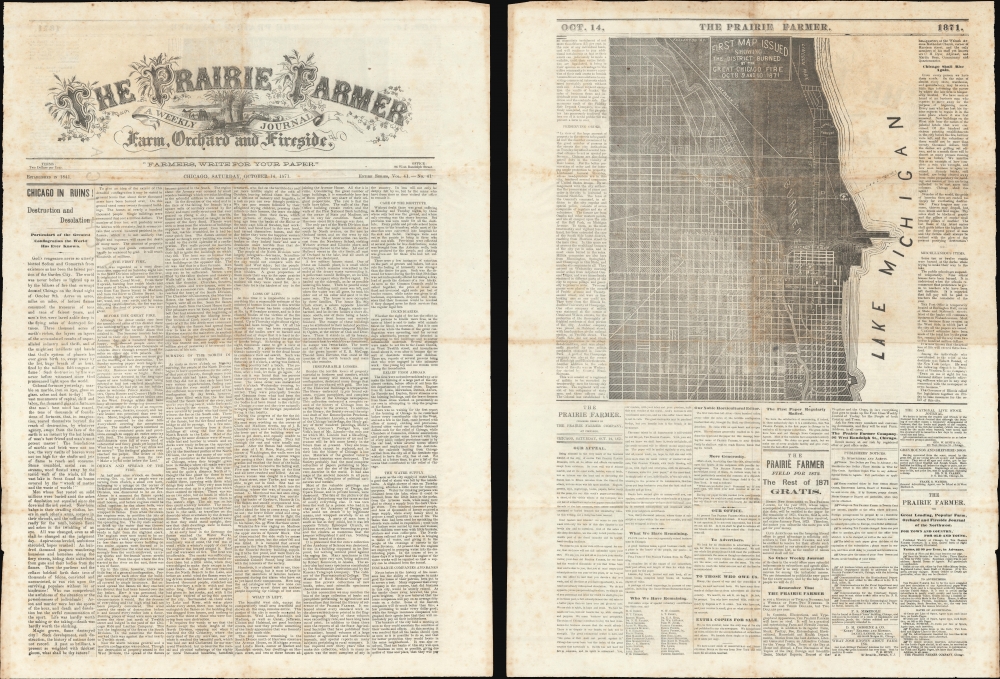
The Prairie Farmer / First Map Issued Showing the District Burned by the Great Chicago Fire Oct. 8 9 and 10, 1871.
$6,500.00
Acquire
- Digital Map Information
- Suitable for large format printing
- Full resolution TIFF file
- ICC color profile embedded
- Delivered instantly via download link
This is the October 14, 1871 (vol 41) issue of the Prairie Farmer containing the first published map of the Great Chicago Fire. This elusive issue was published just days after the fire, wherein the Prairie Farmer building was burnt to the ground. (more details)
French recognition of the Republic of Texas.
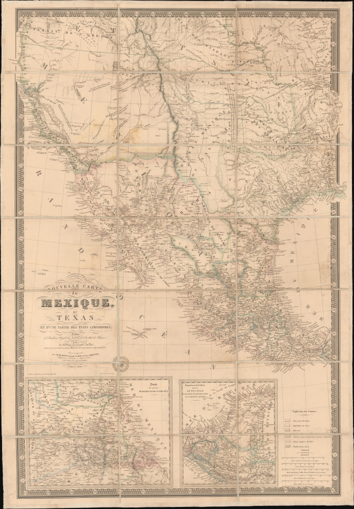
Nouvelle Carte du Mexique, du Texas et d'une partie des états limitrophes...
$6,000.00
Acquire
- Digital Map Information
- Suitable for large format printing
- Full resolution TIFF file
- ICC color profile embedded
- Delivered instantly via download link
This is the 1845 edition of Adrien-Hubert Brué's seminal map of Mexico and the Republic of Texas - issued at the peak of the Mexican-American War (1846 - 1848). Wheat rightly hails this as a 'most important map.' Its significance is as expansive as its coverage, ranging from up-to-date cartography regarding the Republic of Texas (and the French recognition thereof), to some of the first printed mappings of the cartography of Jedediah Smith, to one of the earliest uses of the term 'Arizona' on a printed map. (more details)
Only known design-phase blueprint of the Space Shuttle in private hands.
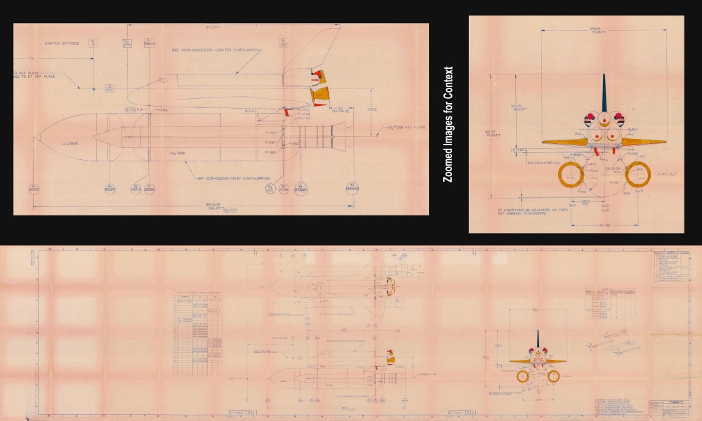
Design Geometry - Shuttle.
$6,000.00
Acquire
This is a September 1975 design-phase Rockwell International blueprint of the Space Shuttle (Orbiter) - measuring some 12 feet in length! It was prepared for Rockwell International, the primary contractor responsible for the Space Shuttle's design and construction. This 1975 blueprint represents the mid-design phase, during which Space Shuttle prototypes underwent atmospheric test flights. It is the only known design-phase Space Shuttle blueprint in private hands. (more details)
Post-Louisiana Purchase districting in Missouri Territory.
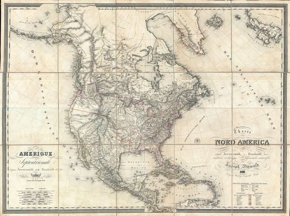
Amerique Septentrionale d'apres Arrowsmith et de Humboldt… / Charte von Nord America nach Arrowsmith, v. Humboldt…
$5,500.00
Acquire
- Digital Map Information
- Suitable for large format printing
- Full resolution TIFF file
- ICC color profile embedded
- Delivered instantly via download link
This is a rare 1823 wall map of North America published jointly by Tranquillo Mollo and Joseph Dirwald[t]. Although not published until 1823, this is one of the few maps to represent the ephemeral period between 1804 and 1818, when the United States was consolidating its hold on the newly acquired Louisiana Territory and expanding into what is today the Missouri/Arkansas region. It is one of the few general maps to illustrate the early districtization of the Louisiana Territory. (more details)
South Carolina at the end of the French and Indian War.
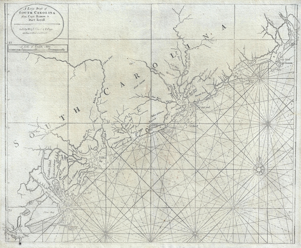
A Large Draft of South Carolina from Cape Roman to Port Royall.
$4,500.00
Acquire
- Digital Map Information
- Suitable for large format printing
- Full resolution TIFF file
- ICC color profile embedded
- Delivered instantly via download link
A rare 1763 Mount and Page nautical chart or maritime map of the coast of South Carolina issued at the end of the French and Indian War (1754 - 1763). Centered on Charleston (Charles Town), the map covers from the Santee River and Cape Romain (Cape Roman) to Hilton Head and Port Royal - a prosperous area covering the main ports of the cotton and tobacco trade. The cartographer notes various Indian and European Settlements, including the Scotts Settlements, Sr. Peter Colleons Signory, the Edestow Settlements (Edisto Settlements), the site of a Sewee Indian village, and more. There are soundings along much of the coastline, but particularly concentrated around Charleston and Port Royal (more details)
One of the First Acquirable Maps of the North American East Coast in its earliest issue.
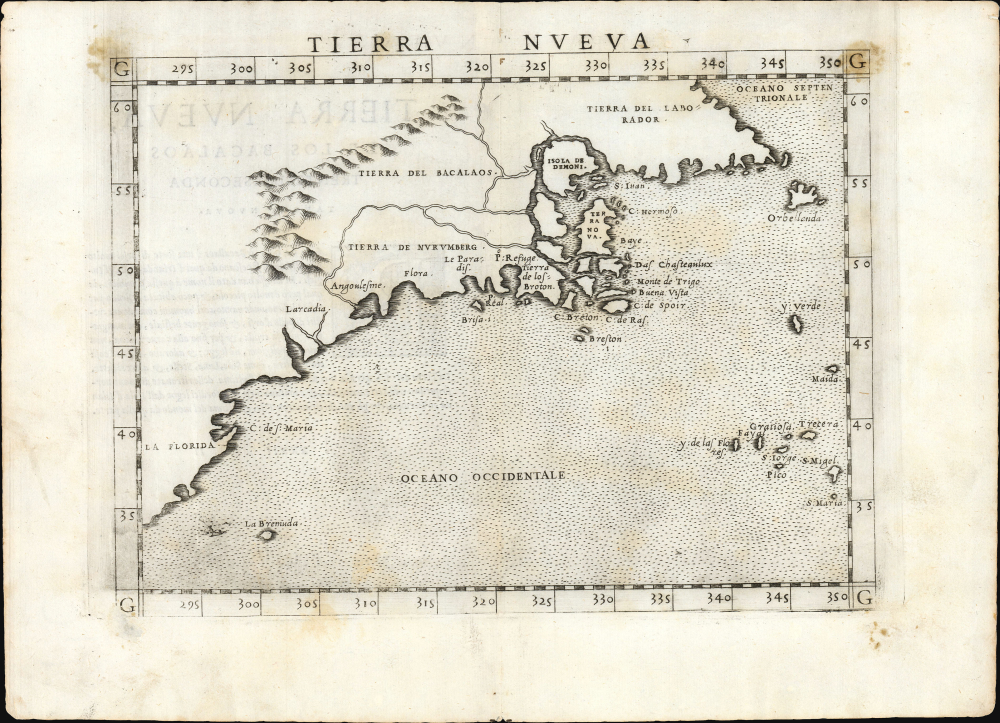
Tierra Nueva.
$2,250.00
Acquire
- Digital Map Information
- Suitable for large format printing
- Full resolution TIFF file
- ICC color profile embedded
- Delivered instantly via download link
This is the first state, first edition, of Girolamo Ruscelli's 1561 map 'Tierra Nueva', an early and influential map of what would become New England and the Canadian Maritime Provinces. It is among the earliest acquirable maps to cover the eastern coastline of North America. The map spans from upper Florida northwards past Cabo de Santa Maria to Larcadia (Kitty Hawk), Angoulesme (New York Harbor), Nova Scotia, and Labrador. The map is a further development of the 1548 Gastaldi map of the same region. While the Gastaldi was limited entirely to the coastline, Ruscelli's map attempted to show a network of rivers and is among the first regional maps to show mountains in the interior of North America. (more details)
Die Bronx - AN early German-American neighborhood in New York.
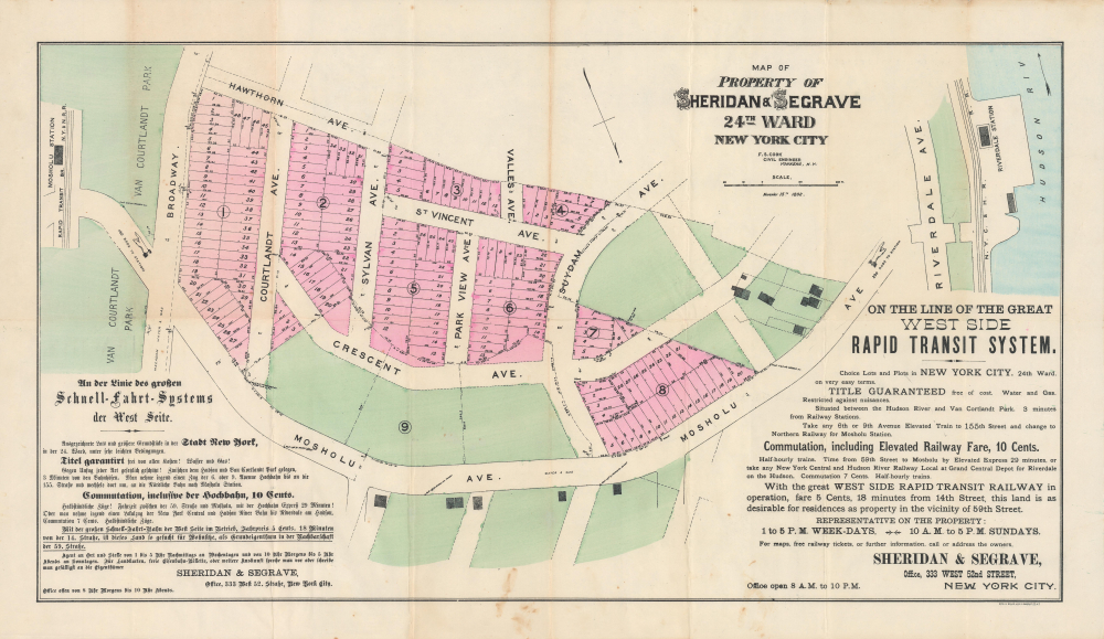
Map of Property of Sheridan and Seagrave 24th Ward New York City.
$1,800.00
Acquire
- Digital Map Information
- Suitable for large format printing
- Full resolution TIFF file
- ICC color profile embedded
- Delivered instantly via download link
This is a rare 1892 promotional real estate map of the Mosholu neighborhood in North Riverdale in the Bronx, New York City, prepared by Frederick S. Cook for the property developers Sheridan and Seagrave. This map not only represents an important moment in the development of the Bronx, but also in the transformation of German-American life in New York City. (more details)
'A foundation map.' -Tooley
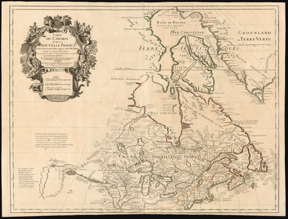
Carte du Canada ou de la Nouvelle France et des Decouverts qui y ont été faites...
$1,800.00
Acquire
- Digital Map Information
- Suitable for large format printing
- Full resolution TIFF file
- ICC color profile embedded
- Delivered instantly via download link
This is Guillaume de l'Isle's groundbreaking 1703 / 1718 map of Canada - one of the most important maps of the northern parts of North America. When De l'Isle first issued this map, it was the most sophisticated cartographic representation of this region yet published, referencing the most recent explorations, including the Jesuit Relations, Pierre Le Moyne d'Iberville, Pierre Le Sour, and Baron de Lahontan. (more details)
The Japanese Occupation of Taiwan.
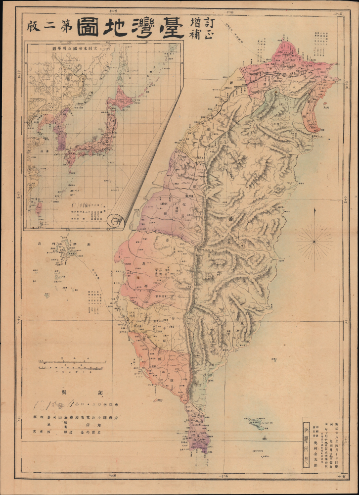
訂正增補臺灣地圖 第二版 / [Revised and Supplemented Map of Taiwan, Second Edition].
$1,500.00
Acquire
- Digital Map Information
- Suitable for large format printing
- Full resolution TIFF file
- ICC color profile embedded
- Delivered instantly via download link
This is a rare 1895 Okumura Kinjirō map of Taiwan, prepared as Japanese forces were preparing to occupy the island. Published just after the signing of the Treaty of Shimonoseki, the map met an insatiable demand in Japan for information about the empire's latest acquisition. (more details)
Japan's Bid for Hegemony in East Asia.

日清韓三國地圖 / [Map of Japan, China, and Korea].
$950.00
Acquire
- Digital Map Information
- Suitable for large format printing
- Full resolution TIFF file
- ICC color profile embedded
- Delivered instantly via download link
This is a large-format 1894 map of East Asia prepared by Shimizu Tsunetarō. It presents the region during the opening phases of the First Sino-Japanese War (1894 - 1895), which would redefine the traditional relationship between China and its neighbors. (more details)
Seeds of Japan's Stalemate in China.
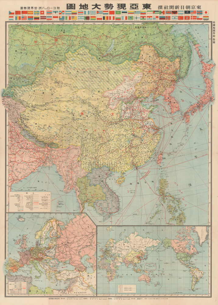
東亞現勢大地圖 / [Large Map of Current Situation in East Asia].
$950.00
Acquire
- Digital Map Information
- Suitable for large format printing
- Full resolution TIFF file
- ICC color profile embedded
- Delivered instantly via download link
This is a 1938 large-format map of East Asia prepared by the Imperial Cartography Institute (Teikoku Chizu Gakkan) and published as a supplement to the Tokyo Asahi Shimbun. Produced in the midst of the Second Sino-Japanese War (part of WWII), it presents Japanese military advances in China at a time when the war was ostensibly going very much in Japan's favor, though early signs of later problems were already becoming apparent. (more details)
Origins of the American-style Renaissance Fair.

Jog Yur Deep and Mery Way to the Faire... / A Map of The Renaissance Pleasure Faire.
$950.00
Acquire
This is a 1973 Theme Events map of the Northern California Renaissance Pleasure Faire held in Novato, California. The Renaissance Pleasure Faire is primarily responsible for setting the mold for the American-style Renaissance fair, which spread in both geographic scope and popularity in the decades after the earliest fairs held in Southern and Northern California. (more details)
Souvenir of the Liberation of the Philippines.
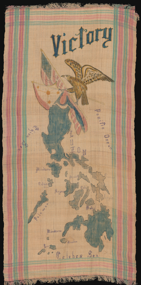
Victory.
$950.00
Acquire
- Digital Map Information
- Suitable for large format printing
- Full resolution TIFF file
- ICC color profile embedded
- Delivered instantly via download link
This is a large-format c. 1945 manuscript map of the Philippines hand-painted on local silk. Likely produced soon after the conclusion of World War II's Philippines Campaign, it celebrates the Filipino-American success in expelling Japanese forces, which had occupied the islands since 1942. (more details)
Celebrating the Glorious Revolution.
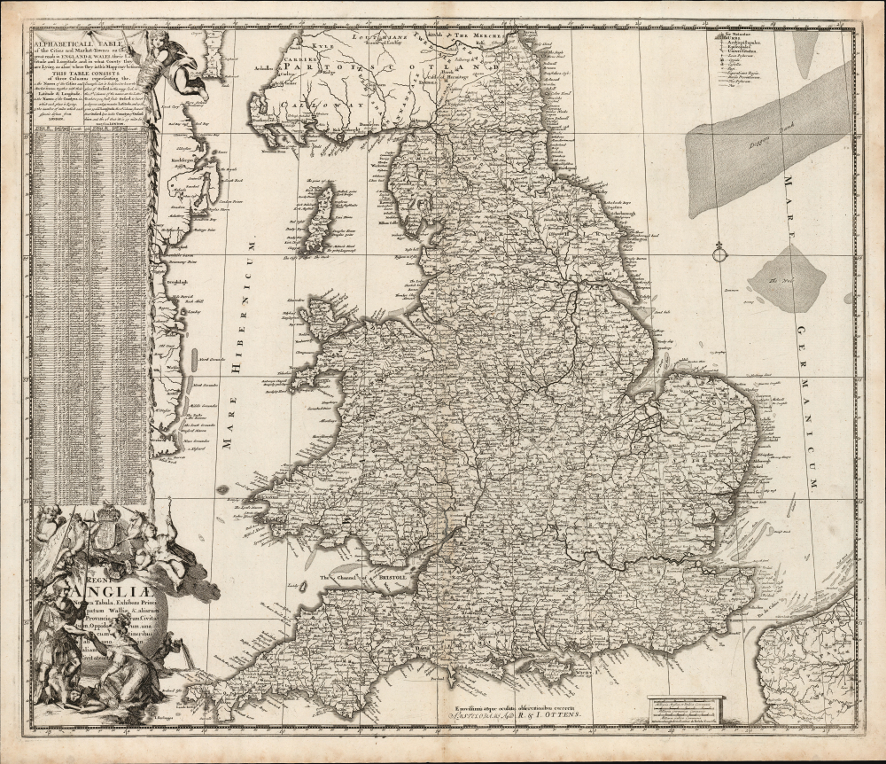
Regni Angliae Nova Tabula, Exhibens Principatum Walliae et aliarum Provinciarum, Civitatum, Oppidorum, una cum itineribus ab uno in aliam civitatem.
$550.00
Acquire
- Digital Map Information
- Suitable for large format printing
- Full resolution TIFF file
- ICC color profile embedded
- Delivered instantly via download link
This is Johannes de Ram's c. 1689 map of the kingdom of England. The present example is the third state, published c. 1730 by Renier and Josue Ottens, whose imprint appears at bottom-center. The map was published in the wake of the Glorious Revolution (1688 - 1689), the deposition of King James II, and his replacement by Mary II and William III of Orange. This Dutch-produced map celebrates the Revolution as a Dutch triumph; nonetheless, the extensive English text suggests it was intended for a British audience. (more details)
La Perla del Sur.
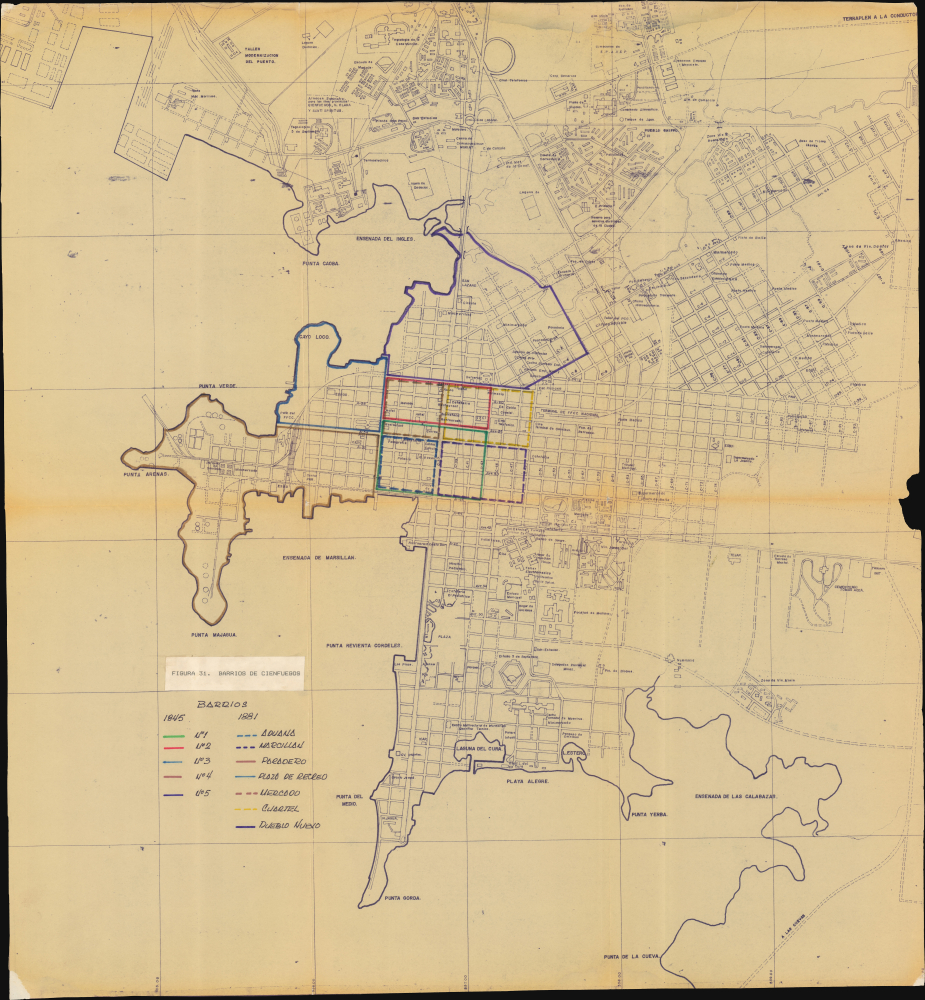
Figura 31. Barrios de Cienfuegos.
$300.00
Acquire
This is a c. 1980 diazo neighborhood map of Cienfuegos, Cuba, once called 'La Perla del Sur' and cited by UNESCO as the best extant example of early 19th-century Spanish Enlightenment urban planning. This map was likely produced for urban planning and historic preservation. (more details)
L.A.'s Postwar Building Boom.
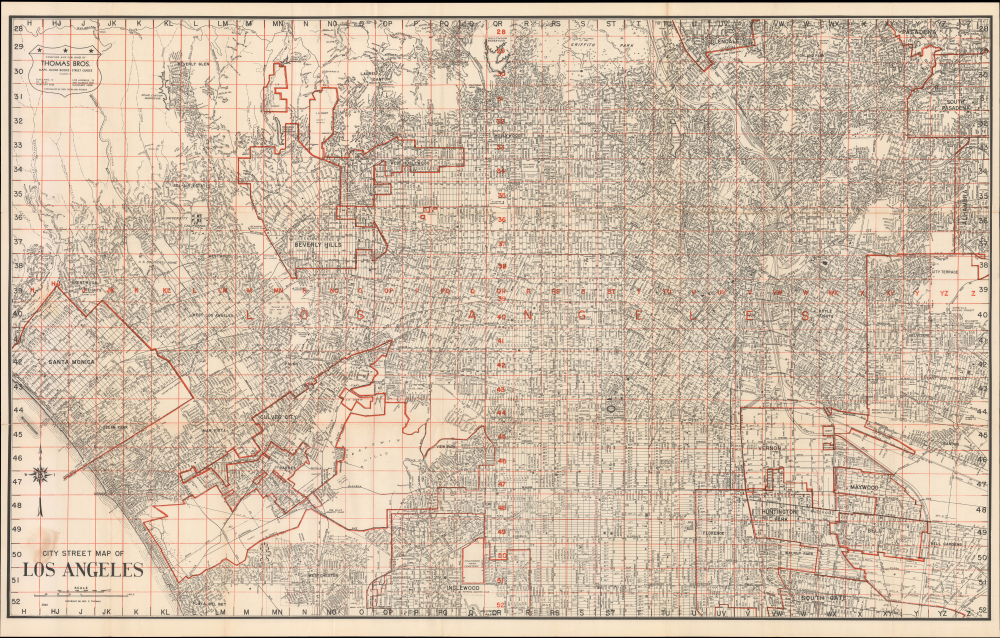
City Street Map of Los Angeles / Thomas Bros. Street Map Los Angeles and Twenty Adjoining Communities.
$300.00
Acquire
- Digital Map Information
- Suitable for large format printing
- Full resolution TIFF file
- ICC color profile embedded
- Delivered instantly via download link
This is a large-format c. 1949 Thomas Brothers street map of Los Angeles and nearby cities in Southern California. It presents the area as the last undeveloped portions of L.A.'s urban sprawl were being filled in, resulting in the seemingly infinite sea of concrete familiar to us today. (more details)