
Stunning Atlas, Old Color, Distinguished Provenance.
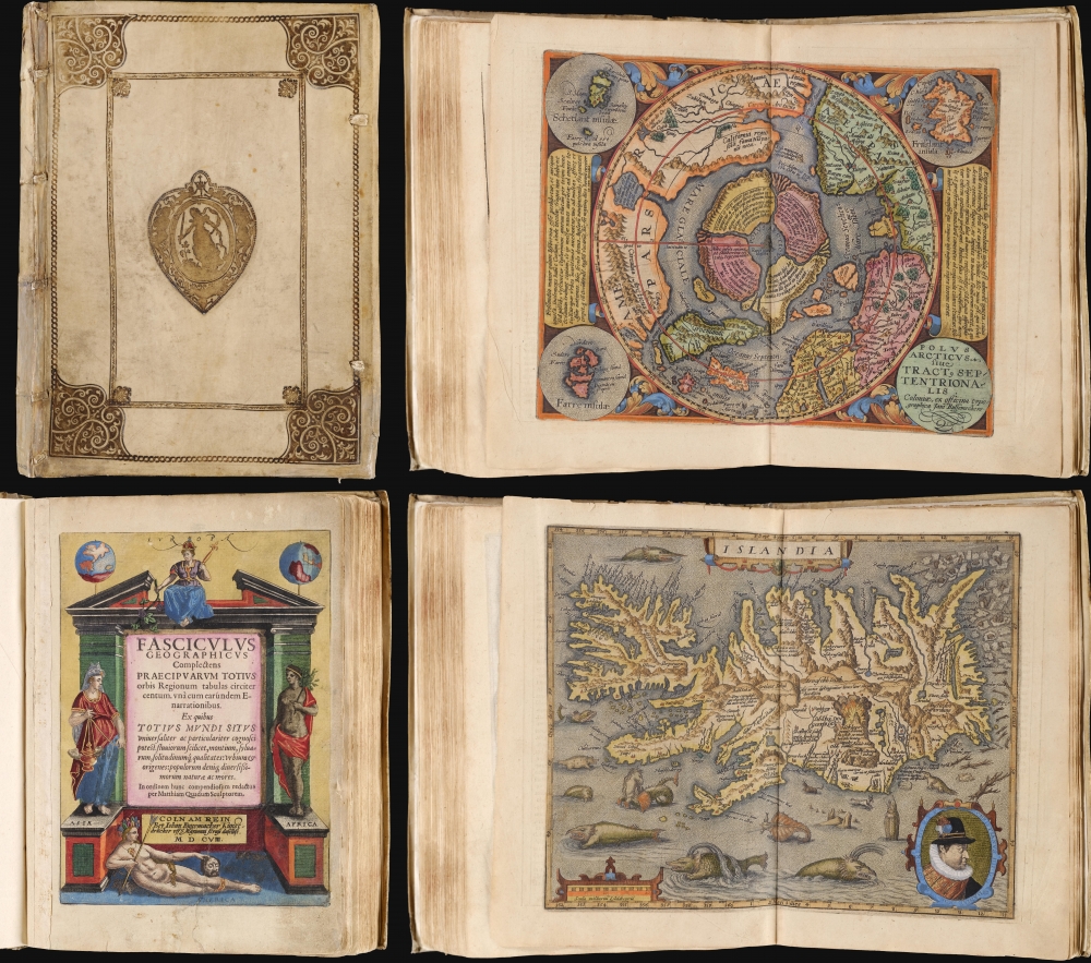
Fasciculus geographicus complectens praecipuarum totius orbis regionum tabulas circiter centum, unà cum earundem enarrationibus.
sold
This is Matthias Quad's geographical atlas in its expanded 1608 edition, with 87 maps in superb original color and a distinguished provenance connecting it to the Lord Wardington Collection. Quad's atlas provided, in a small folio, a compilation of the most state-of-the-art maps of his era - some engraved by Quad himself, the bulk having been engraved by publisher Johan Bussemacher. The richly-colored atlas is beautifully bound in contemporary vellum and is the finest example of this work known. (more details)
Moll vs. De l'Isle.

To The Right Honorable John Lord Sommers...This Map of North America According To Ye Newest and Most Exact Observations . . .
sold
- Digital Map Information
- Suitable for large format printing
- File Size: 45.84 MB
- File Type: ZIP / TIFF
- ICC color profile embedded
- Delivered instantly via download link
An attractive example of Hermann Moll's 1720 'Codfish' Map of North America. The map was issued to bolster British North American claims, countering Guillaume De l'Isle's 1718 Carte de La Louisiane , whose bold claims of French territory sparked outrage amongst the English. (more details)
One month after the Declaration of Independence.

The Provinces of NEW YORK, and NEW JERSEY; with part of PENSILVANIA, and the Governments of TROIS RIVIERES, and MONTREAL: drawn by Capt. Holland. / A Chorographical Map of the Country between Albany, Oswego, Fort Frontenac, and Les Trois Rivieres; Exhibiting all the Grants made by the French Governors on Lake Champlain; and between that Lake and Montreal.
sold
- Digital Map Information
- Suitable for large format printing
- File Size: 55.63 MB
- File Type: ZIP / TIFF
- ICC color profile embedded
- Delivered instantly via download link
This is one of the most important, influential, and comprehensive American Revolutionary War Era maps of New York, New Jersey, Vermont, and the Hudson Valley corridor. It was issued a little over one month after the adoption of the Declaration of Independence and represents the most contested theaters of the American Revolutionary War (1775 - 1783). (more details)
New cartography in the wake of the Seminole Wars.

The Bahama Banks and the Gulf of Florida.
sold
- Digital Map Information
- Suitable for large format printing
- File Size: 63.88 MB
- File Type: ZIP / TIFF
- ICC color profile embedded
- Delivered instantly via download link
This is a scarce, detailed, and elegant 1848 nautical chart or maritime map of Florida and the Bahamas by E. and G. W. Blunt. Blunt's chart, which first appeared in his 10-sheet 1827 maritime atlas, represented the height of nautical mapping in and around the Florida peninsula prior to the U.S. Coast Survey in the 1850s. (more details)
The 'Grandmother of Europe'

The Queen Victoria Her Majesty and Her Imperial and Royal Descendants.
sold
- Digital Map Information
- Suitable for large format printing
- Full resolution TIFF file
- ICC color profile embedded
- Delivered instantly via download link
This highly scarce 1897 work by one 'Count Arros' and 'engraved' by one 'Reymond' is a family tree of Queen Victoria, created in tandem with her Diamond Jubilee. (more details)
Remembering the Oregon Question.
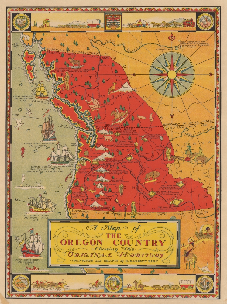
A Map of the Oregon Country Showing the Original Territory.
sold
- Digital Map Information
- Suitable for large format printing
- File Size: 22.09 MB
- File Type: ZIP / TIFF
- ICC color profile embedded
- Delivered instantly via download link
This is a rare 1933 E. Karolyn Ries pictorial map of the Oregon Territory. The map combines artistic elements with references to American history, most specifically the Oregon Question (see below). (more details)
Iconic Tolkien promotional poster map.
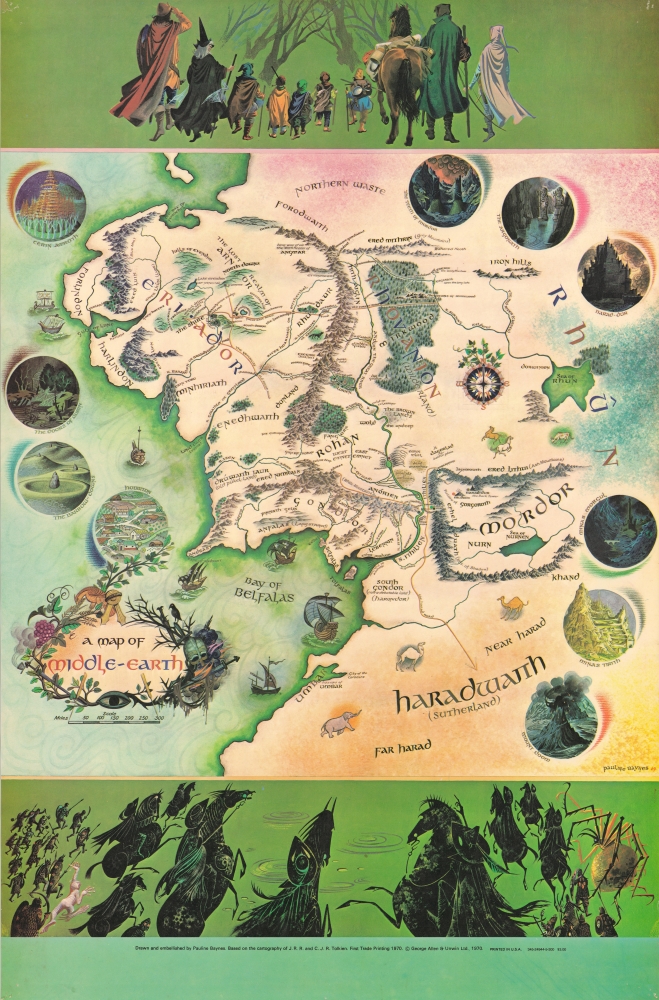
A Map of Middle-Earth.
sold
This is the iconic 1970 rare poster map of J. R. R. Tolkien's Middle Earth drawn by Pauline Diana Baynes to promote the George Allen and Unwin release of the Lord of the Rings. Tolkien heaped praise upon Baynes' work, saying, 'They are more than illustrations, they are a collateral theme. I showed them to my friends whose polite comment was that they reduced my text to a commentary on the drawings.' (more details)
East Bay Expansion.

Map of Oakland, Alameda, Berkeley Piedmont and Vicinity.
sold
This is a 1920 H. A. Candrian and Bertha Wilhemina Candrian map of the cities of Oakland, Berkeley, Alameda, and surrounding communities in the East Bay of the San Francisco Bay Area. It demonstrates the rapid development of the East Bay at this time, including new residential developments, public transportation, and hydrological infrastructure. It is, moreover, one of the few maps of the era to have been drafted by a woman - H. A. Candrian's wife, Bertha Wilhemina. (more details)
Hail Kentucky, Alma Mater!

State University of Kentucky.
$950.00
Acquire
- Digital Map Information
- Suitable for large format printing
- File Size: 19.56 MB
- File Type: ZIP / TIFF
- ICC color profile embedded
- Delivered instantly via download link
A rare 1911 Arthur J. Elder / Littig bird's-eye view map of the University of Kentucky - here in its first edition. This view is in the style of the more famous contemporaneous university viewmaker Richard Rummell and was published by Littig, also Rummell's publisher. It is one of only 4 known university views drawn by Elder. (more details)
Emergence of 'the Grey Ghost'

Environs de Warrenton (Virginie).
sold
- Digital Map Information
- Suitable for large format printing
- File Size: 7.95 MB
- File Type: ZIP / TIFF
- ICC color profile embedded
- Delivered instantly via download link
This is Ernest Dumas-Vorzet's 1890 map of Warrenton, Virginia and environs, prepared for his Histoire de la Guerre Civile en Amérique. It relates to the 1863 American Civil War (1861 - 1865) Warrenton Junction Raid, one of the first significant actions of 'the Gray Ghost', Confederate commander John S. Mosby and his eponymous Mosby’s Rangers. (more details)
Hong Kong Seamen's Strike of 1922.
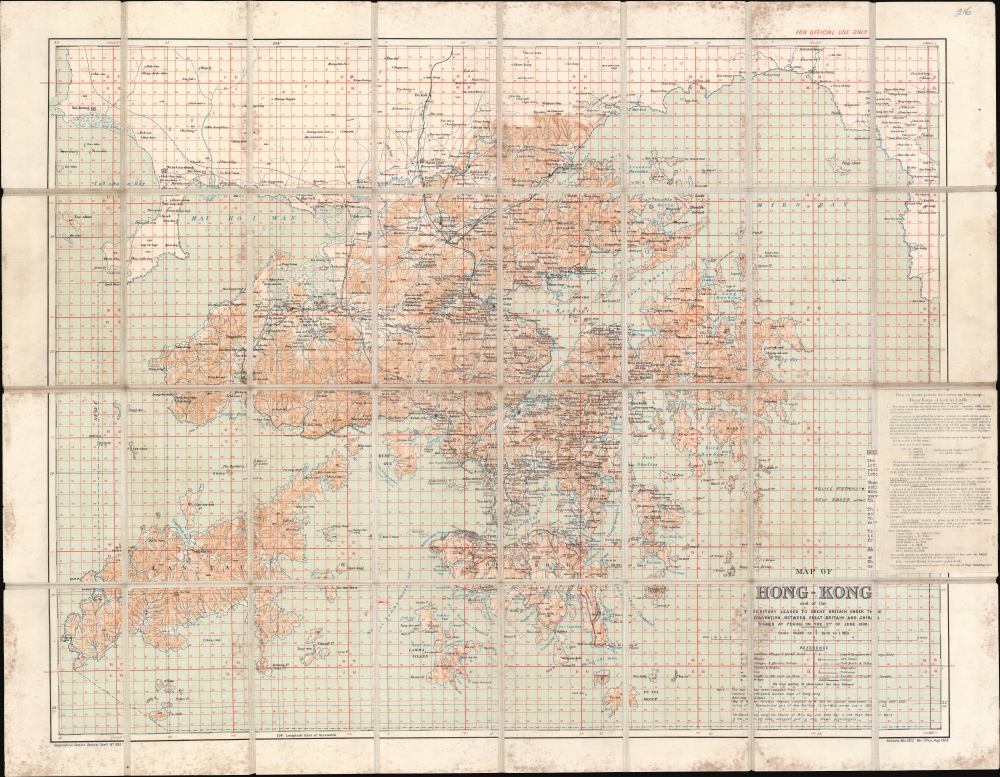
Map of Hong Kong and the Territory Leased to Great Britain under the Convention Between Great Britain and China Signed at Peking on the 9th of June 1898.
sold
- Digital Map Information
- Suitable for large format printing
- File Size: 92.45 MB
- File Type: ZIP / TIFF
- ICC color profile embedded
- Delivered instantly via download link
This is a 1922 British War Office map of Hong Kong and the New Territories. It was issued in March of 1922, shortly following the historic Hong Kong Seaman's Strike. (more details)
Setting the Stage for the French and Indian War.

Carte De L’ Amerique Septentrionale Depuis le 28 Degré de Latitude jusquau 72.
sold
- Digital Map Information
- Suitable for large format printing
- File Size: 37.56 MB
- File Type: ZIP / TIFF
- ICC color profile embedded
- Delivered instantly via download link
This grand map of 1755 J. N. Bellin map of North America presents one of the clearest statements of France's boldly aggressive territorial claims in North America at the dawn of the French and Indian War (1754 - 1763). (more details)
The Shanghai War.
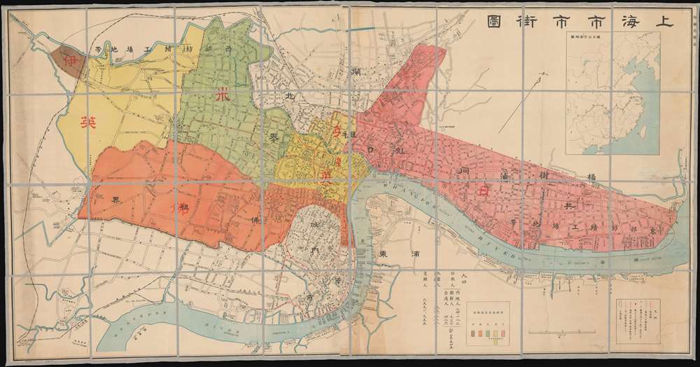
Shanghai City Street Map. / 上海市市街圖
sold
- Digital Map Information
- Suitable for large format printing
- File Size: 103.7 MB
- File Type: ZIP / TIFF
- ICC color profile embedded
- Delivered instantly via download link
An impressively proportioned bi-lingual map of Shanghai, China, issued by Jichisan Shōkai (ジーチーサン商會) in 1932, during the January 28 Incident (Shanghai War) - a precursor to the Second Sino-Japanese War (1937 - 1945). (more details)
Honolulu in all of its pictorial glory!
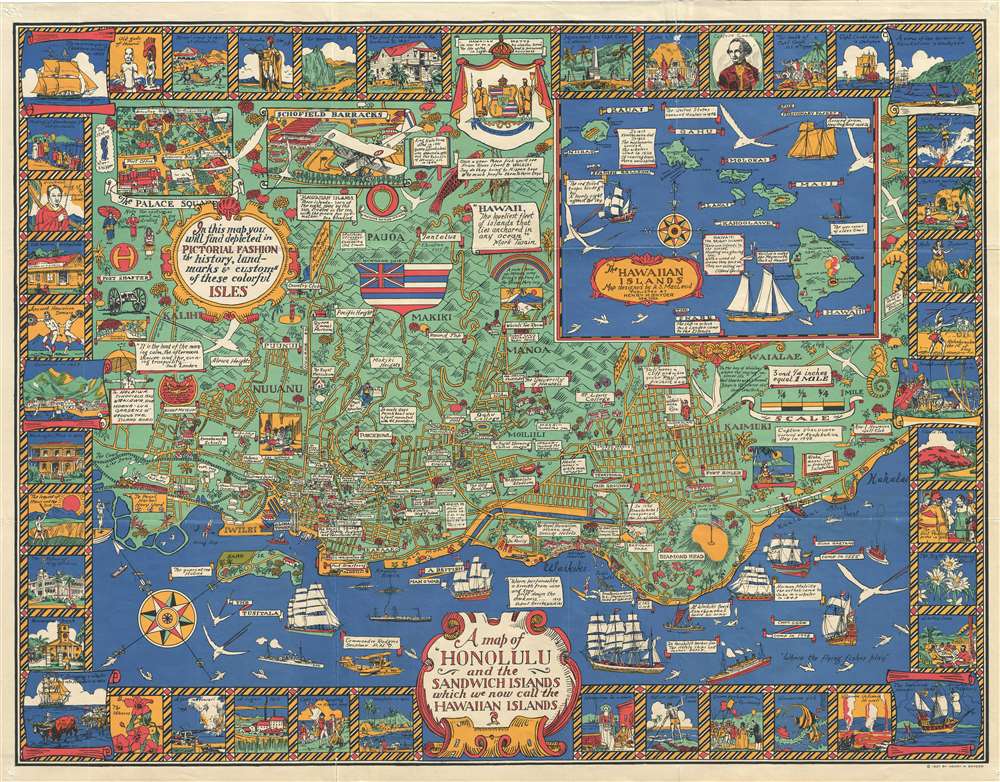
A Map of Honolulu and the Sandwich Islands, which we now call the Hawaiian Islands.
sold
- Digital Map Information
- Suitable for large format printing
- File Size: 23.99 MB
- File Type: ZIP / TIFF
- ICC color profile embedded
- Delivered instantly via download link
This is a whimsical 1927 Alexander Samuel MacLeod pictorial map of Honolulu, Hawaii, issued during the Golden Age of American Pictorial Maps (c. 1920 - 1960). In its own words, the map attempted to depict 'in a pictorial fashion the history, landmarks, and customs of these colorful Isles.' (more details)
American Psychological warfare in World War II.

生命線の危機 / [Lifeline Crisis], 次は日本?/ [Is Japan Next?].
sold
- Digital Map Information
- Suitable for large format printing
- Full resolution TIFF file
- ICC color profile embedded
- Delivered instantly via download link
An extraordinary set of airborne propaganda leaflets, dating from 1944 and 1945, respectively, produced by the U.S. Army's Psychological Warfare Branch in the closing months of World War II. These highly ephemeral objects offer unique insight into American psychological warfare during World War II. They were distributed by air on the Home Islands to demoralize Japanese troops and civilians, convince them of the inevitability of an Allied victory, and encourage surrender. (more details)
'All things do not come to those who wait...'
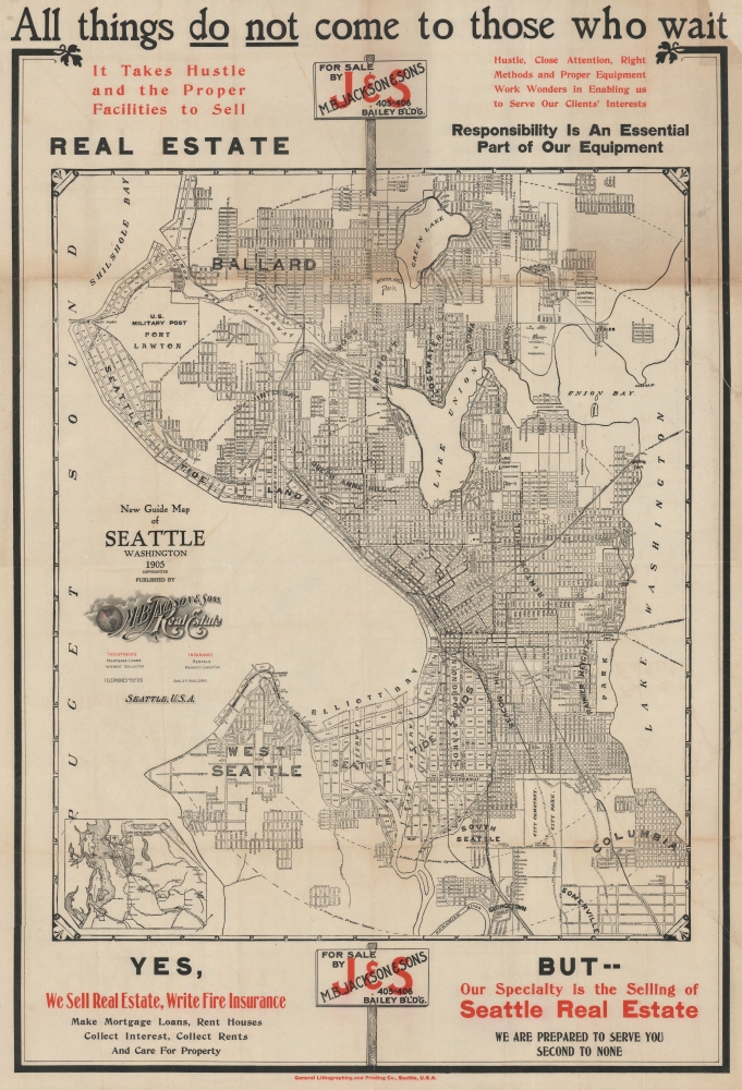
New Guide Map of Seattle Washington.
sold
- Digital Map Information
- Suitable for large format printing
- File Size: 113.91 MB
- File Type: ZIP / TIFF
- ICC color profile embedded
- Delivered instantly via download link
A scarce large format 1905 city map of Seattle produced by General Lithographing during one of the city's most dynamic decades - a period defined by ambitious public works projects that reshaped the city and capped by the 1909 Alaska-Yukon-Pacific Exposition. The map is suffused with a sense of change and transience underscored by real estate advertisements, enjoining the viewer to strike while the iron is hot. (more details)
First accurate survey of the interior of Montenegro.
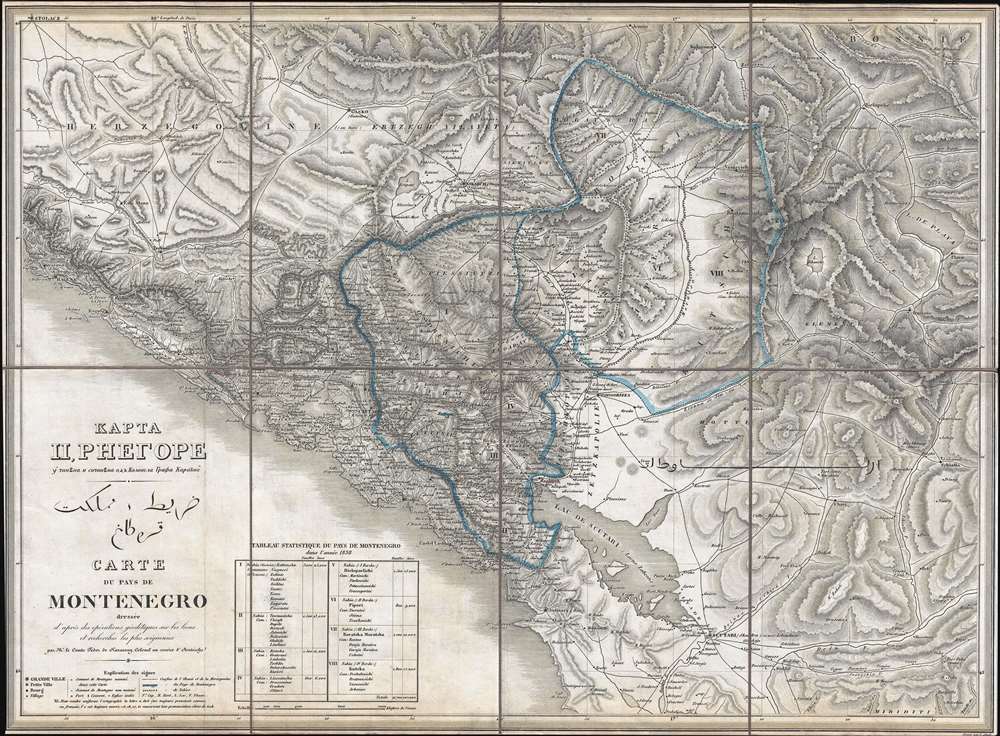
КАРТА ЦРНЕГОРЕ. قرطاغ مملكت خريط. Carte du Pays de Montenegro dressée d'après des opérations géodétiques sur les lieux et recherches les plus soigneuses.
sold
- Digital Map Information
- Suitable for large format printing
- DPI: 300
- File Size: 18.92 MB
- File Type: ZIP / TIFF
- ICC color profile embedded
- Delivered instantly via download link
This is an 1838 Count Fedor von Karacsay tri-lingual map of Montenegro - considered the first broadly accurate map of Montenegro. The map is a product of Montenegrin Vladika Petar II Petrović-Njegoš's ongoing efforts to modernize and reform Montenegro. (more details)
Pictorial smorgasbord of Middle-Atlantic American history.
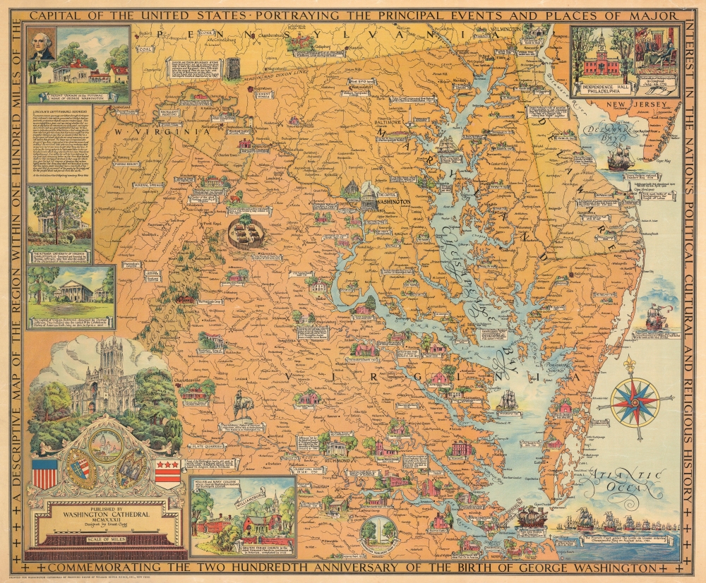
A Descriptive Map of the Region Within One Hundred Miles of the Capital of the United States Portraying the Principal Events and Places of Major Interest in the National Political, Cultural and Religious History Commemorating the Two Hundredth Anniversary of the Birth of George Washington.
sold
- Digital Map Information
- Suitable for large format printing
- File Size: 73.8 MB
- File Type: ZIP / TIFF
- ICC color profile embedded
- Delivered instantly via download link
This is a 1932 Ernest Clegg pictorial map of Maryland, Delaware, and northern Virginia illustrating the vicinity of Washington, D.C., and the Chesapeake Bay. (more details)
Unique insight into the Japanese travel experience in the United States in the 1920s.

大紐育案內圖 / [Greater New York Guide Map].
sold
- Digital Map Information
- Suitable for large format printing
- Full resolution TIFF file
- ICC color profile embedded
- Delivered instantly via download link
This is a rare 1926 Japanese-language guide and map of New York City published by The Japanese Times (紐育新報社), a Japanese-language newspaper published in New York. It offers unique insights into the experience of the Japanese traveler in pre-war America. Although the newspaper catered to Japanese Americans living in New York City, the guide was most likely meant for Japanese travelers. The guide's 100+ pages cover history, politics, demographics, transportation, and cultural attractions. It includes a suggested itinerary and advertisements for Japanese mail and cargo shipping companies. (more details)
Promoting the Sunset Islands.

Sunset Islands, Miami Beach: A Portfolio of Estates.
sold
This is a 1939 Sunset Island Company and Stephen A. Lynch Jr. pictorial portfolio and map of the Sunset Islands, Miami Beach, Florida. The promotional volume was published in a limited edition for Sunset Islands property owner (and prospective owners). The present example, signed by Lynch and Mobley, was presented it to the Belgian nobles Baron and Baroness Gerard L. de Nieuwenhove. A spiral bound volume features photographs of fabulous Sunset Islands estates. A plat map signed by Mobley accompanies the portfolio, along with a typewritten letter on Lynch Jr.'s letterhead to the Baron and Baroness. (more details)