
Astoria as a railroad town.
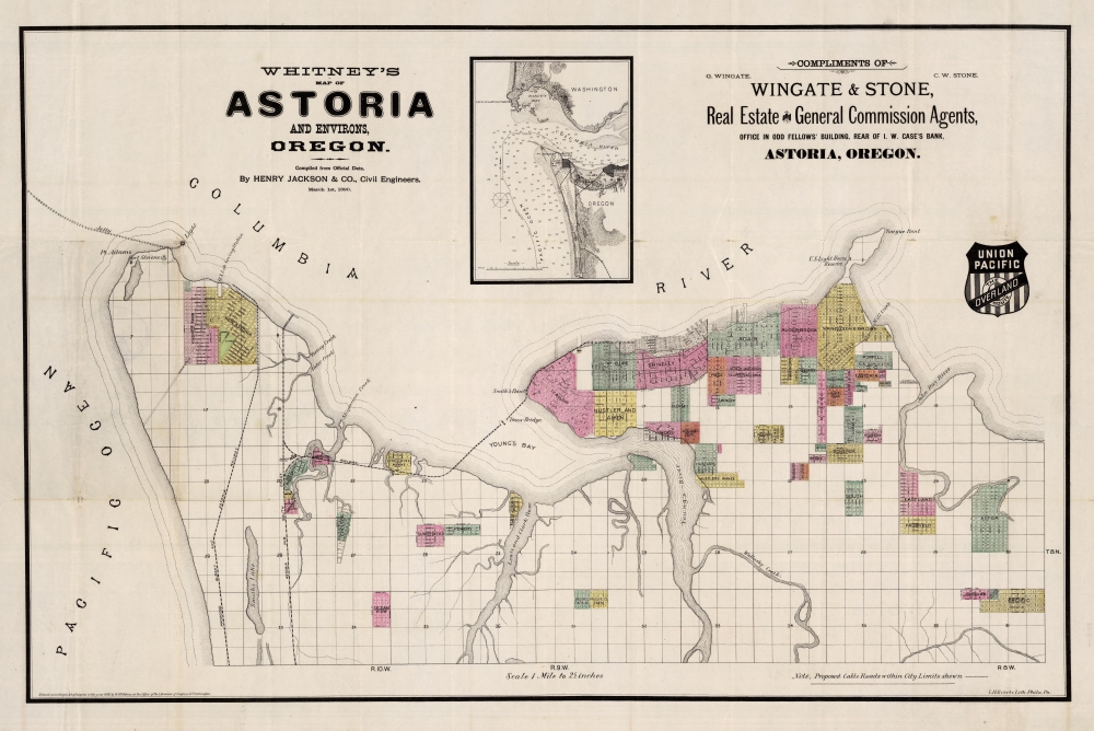
Whitney's Map of Astoria and Environs, Oregon.
sold
- Digital Map Information
- Suitable for large format printing
- Full resolution TIFF file
- ICC color profile embedded
- Delivered instantly via download link
This is the rare 1890 W. H. Whitney and Henry Jackson map of Astoria, Oregon. The map illustrates the early days of Astoria as it attempted to build railroad connections to the Northern Pacific. The route of the South Coast Railway towards Warrenton and Seaside is noted. Another line, the Albany and Astoria Railway, was a proposed route southward through the Grand Konde Indian Reservation. The line met with considerable opposition both from the tribe and from congress and was never authorized. It combines the function of a real estate map and a railroad map. (more details)
Earliest Acquirable Printed Map to show Knox's Trail.
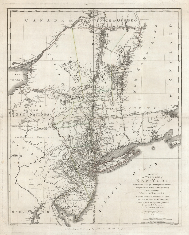
A Map of The Province of New-York, Reduc'd from the large Drawing of that Province, Compiled from Actual Surveys by order of His Excellency William Tryon Esq.r Captain General and Governor of the same, by Claude Joseph Sauthier, to which is added New-Jersey, from the Topographical Observations of C. J . Sauthier and B. Ratzer.
sold
- Digital Map Information
- Suitable for large format printing
- DPI: 600
- File Size: 82.53 MB
- File Type: ZIP / TIFF
- ICC color profile embedded
- Delivered instantly via download link
This is an important, detailed Revolutionary War era map focusing on the New York and Massachusetts theatres of the war, published in London by William Faden in August 1776, just after the Declaration of Independence. The map summarizes the best British surveys of the region available at the beginning of the Revolutionary War. It appears to be the first printed map to show the route taken by the 'Noble Train of Artillery,' which Henry Knox famously led from Fort Ticonderoga to Boston the previous winter, resulting in the expulsion of the British from that city. (more details)
Bellingham as a railroad town.
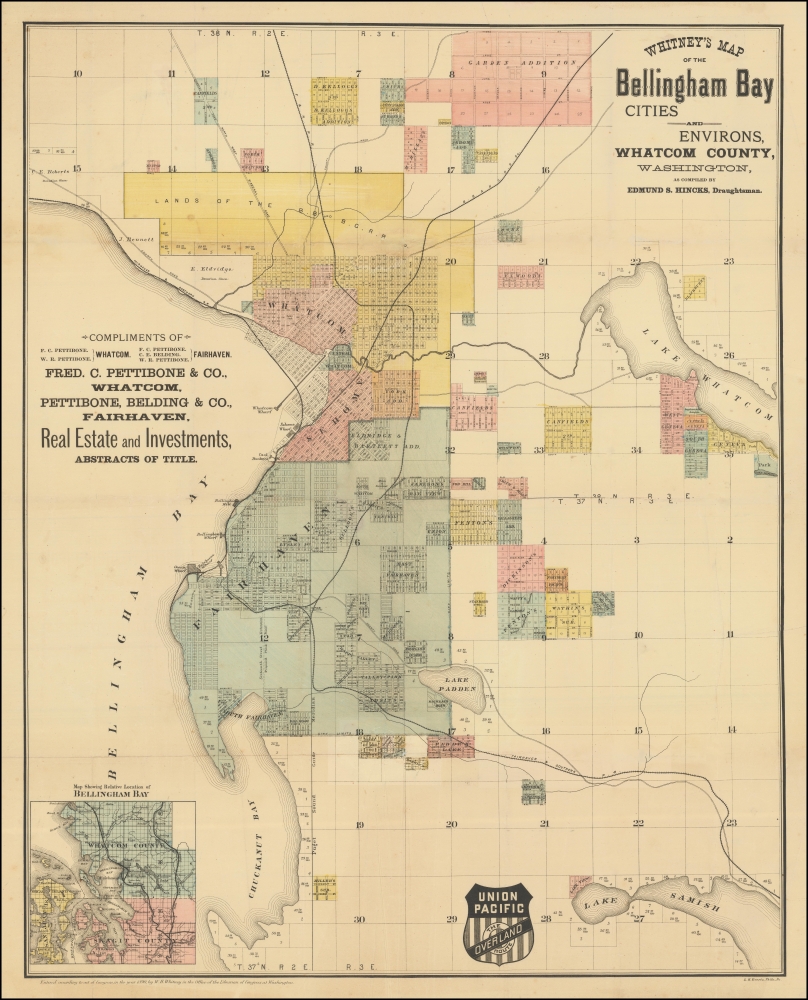
Whitney's Map of the Bellingham Bay Cities and Environs, Whatcom County, Washington.
sold
- Digital Map Information
- Suitable for large format printing
- File Size: 27.26 MB
- File Type: ZIP / TIFF
- ICC color profile embedded
- Delivered instantly via download link
This is the rare 1890 W. H. Whitney and Edmund S. Hincks map of Bellingham, Washington. The map illustrates the early attempts of Bellingham to connect to an international railroad. Although bearing the Union Pacific Railroad, that line never connected to Bellingham Bay. Instead, the services here reflect connections to the competing Canadian Pacific and Great Northern Lines. It combines the function of a real estate map and a railroad map. An inset in the upper left offers an overview of the general area. The map covers the entrance to the Straits of Juan de Fuca, highlighting the Bellingham Bay cities of Bellingham and Fairhaven as far east as Lakes Whatcom and Samish. (more details)
Port Townsend wants a railroad!
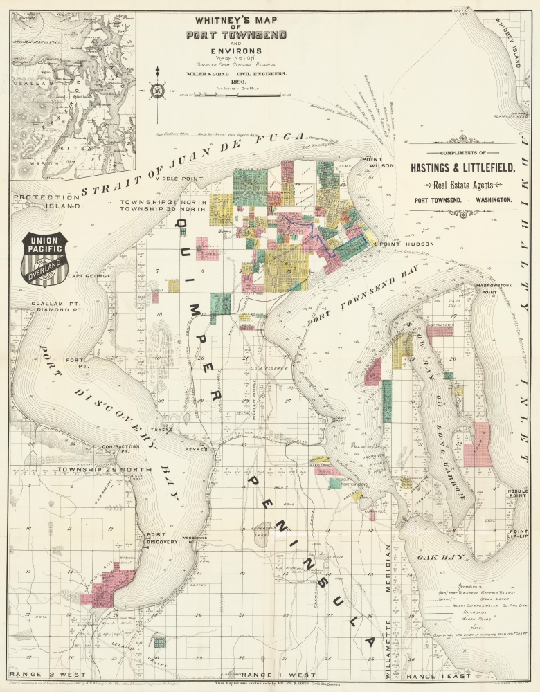
Whitney's Map of Port Townsend and Environs.
sold
- Digital Map Information
- Suitable for large format printing
- File Size: 28.42 MB
- File Type: ZIP / TIFF
- ICC color profile embedded
- Delivered instantly via download link
This is the rare 1890 W. H. Whitney and 'Miller and Going' map of Port Townsend, Washington. The map illustrates the early days of Port Townsend as it struggled to develop railroad connections. Although a prosperous port town, Port Townsend, situated on wrong side of the Puget sound, was too far and difficult to access to attract the attention of the Northern Pacific. This map instead captures grassroots efforts of Port Townsend residents to develop their own lines - the Port Townsend Southern and the Port Townsend and Southern Railroad to Quilcene. It combines the function of a real estate map and a railroad map. An inset in the upper left offers an overview of the general area. The map covers the entrance to the Straits of Juan de Fuca, Port Discovery, Port Townsend Bay, and Scow Bay (Long Harbor) to western Whidbey Island. (more details)
A decisive but largely forgotten British naval victory.
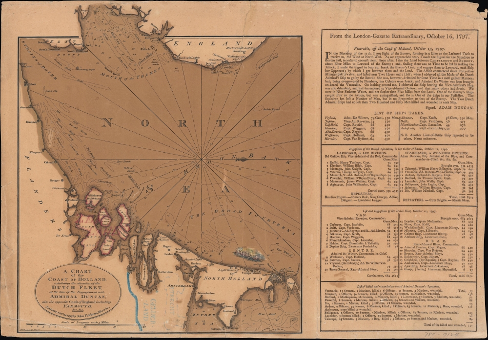
A chart of the coast of Holland exhibiting the situation of the Dutch fleet...
sold
- Digital Map Information
- Suitable for large format printing
- DPI: 600
- File Size: 10.32 MB
- File Type: ZIP / TIFF
- ICC color profile embedded
- Delivered instantly via download link
An ephemeral 1797 John Fairburn broadside map celebrating the British naval victory at the 1797 Battle of Camperdown during the French Revolutionary Wars (1792 - 1802), one of the most significant naval engagements of the era. (more details)
Opening of China at the end of the First Opium War.
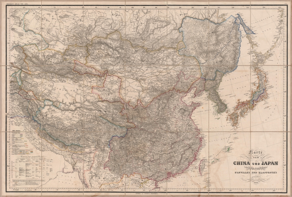
Karte von China und Japan den Manen D'Anville's und Klapproth's.
sold
- Digital Map Information
- Suitable for large format printing
- Full resolution TIFF file
- ICC color profile embedded
- Delivered instantly via download link
A gorgeous large-format 1843 map of East Asia by Heinrich Berghaus, published by Justus Perthes. It was published in the immediate wake of the First Opium War (1839 - 1842), which opened China to increased foreign trade and sparked a global interest in the vast empire. Moreover, Berghaus provides tremendous geographical detail, underscoring the immensity of the Qing China and its potential as a source of good and resources. (more details)
Sprawling and unique panoramic map.
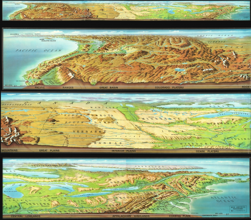
Mid-America Panorama.
sold
An enormous 18-foot long c. 1969 panoramic view of the northern half of the United States by the Nystrom company. The map / view extends from Atlantic to Pacific, and includes states and territories from San Francisco, Kansas, and the Chesapeake north as far as the Arctic. Although Canada is included, the perspective recedes north of the U.S. border such that this territory is only vaguely distinguishable. The main view focuses on a pictorial representation of the terrain and topography, with shading indicating relative elevation. States are illustrated in outline and important regions, cities, topographical features, and National Parks are noted. Along the bottom a cross-section profile illustrates elevation at roughly 37° N latitude. (more details)
Santiago's global influence.
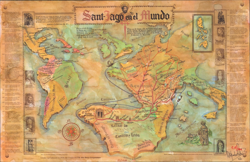
Sant-Iago en el Mundo.
sold
A rare 1977 thematic map illustrating the global impact of the Pilgrimage to Santiago de Compostela. The map was issued by Alejandro de Muns Trillo for the 1976 Jacobean Holy Year. It was issued in a limited edition of 100 examples. The present example is (we think) 94 / 100 and signed by de Muns. (more details)
The balkanized Balkans.
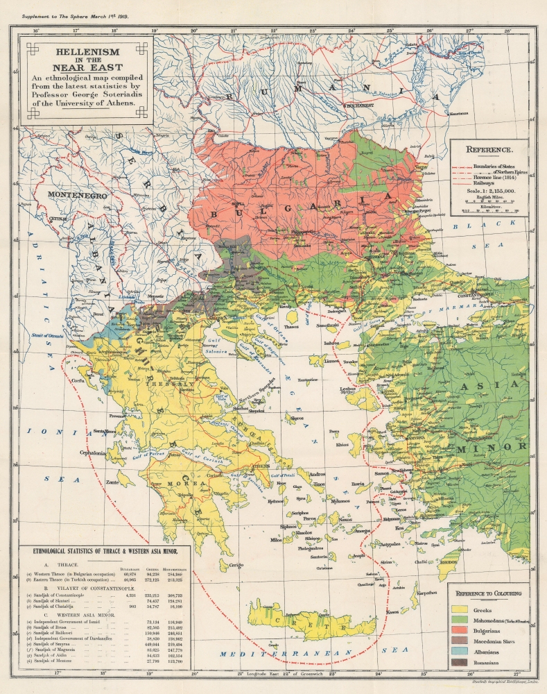
Hellenism in the Near East. An ethological map compiled from the latest statistics by Professor George Soteriadis of the University of Athens.
sold
- Digital Map Information
- Suitable for large format printing
- File Size: 28.6 MB
- File Type: ZIP / TIFF
- ICC color profile embedded
- Delivered instantly via download link
This is a 1919 George Soteriadis ethnological map of the eastern Balkans, Greece, and western Turkey. The map breaks down the ethnic divisions that have long balkanized the Balkans, leading to horrific ethnic clashes in the late 20th century. (more details)
The Heart of France.
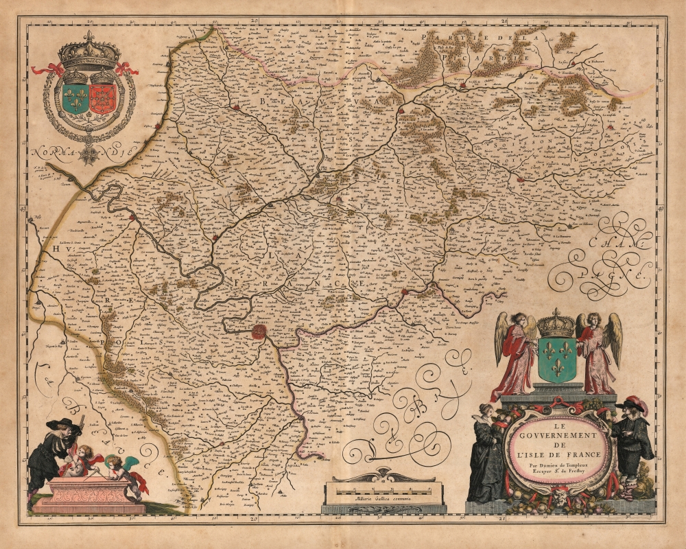
Le Gouvernement de L'Isle de France Par Damien de Templeux Escuyer Sr. du Frestoy.
sold
- Digital Map Information
- Suitable for large format printing
- DPI: 600
- File Size: 58.64 MB
- File Type: ZIP / TIFF
- ICC color profile embedded
- Delivered instantly via download link
This is Willem Blaeu's 1634 map of the Île-de-France, surrounding Paris. (more details)
The beginning of the Risorgimento.
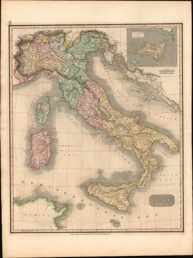
Italy.
sold
- Digital Map Information
- Suitable for large format printing
- DPI: 600
- File Size: 746.83 MB
- File Type: ZIP / TIFF
- ICC color profile embedded
- Delivered instantly via download link
This is John Thomson's 1814 map of Italy. The map was issued in the wake of Napoleon's defeat and the dissolution of his influence in Italy - which at the same time marked the beginning of the Risorgimento. (more details)
Before the famine.
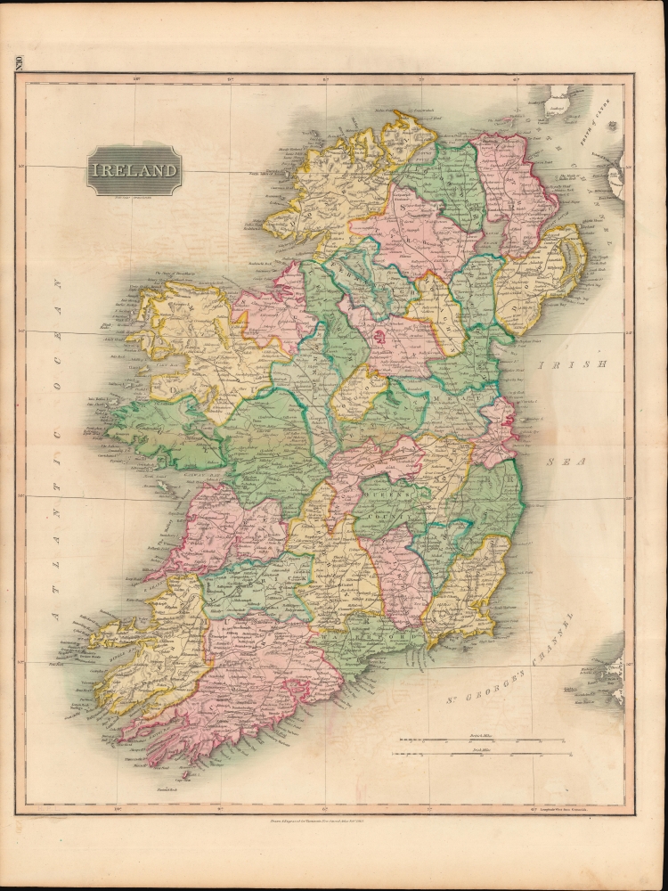
Ireland.
sold
- Digital Map Information
- Suitable for large format printing
- DPI: 600
- File Size: 723.33 MB
- File Type: ZIP / TIFF
- ICC color profile embedded
- Delivered instantly via download link
This is John Thomson's 1815 map of Ireland divided into counties. (more details)
The Orange Bowl, city parks, and the Florida Keys.
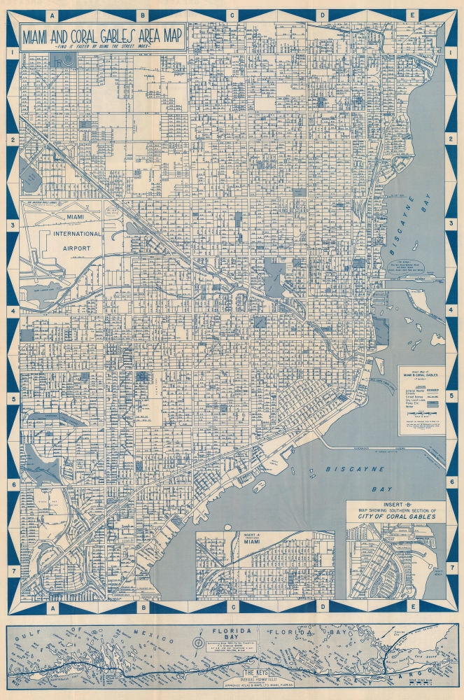
Miami and Coral Gables Area Map.
sold
This is a striking cyan-toned c. 1950 'Approved Atlas and Maps' city map of Miami and Coral Gables, Florida. Streets are labeled throughout, along with the Florida East Coast Railroad. Golf courses, city parks, and the Orange Bowl are marked. Two insets focus on the West End of Miami and southern Coral Gables. A smaller map along the bottom border illustrates the Overseas Highway from Key Largo to Key West. (more details)
Early railroad development.
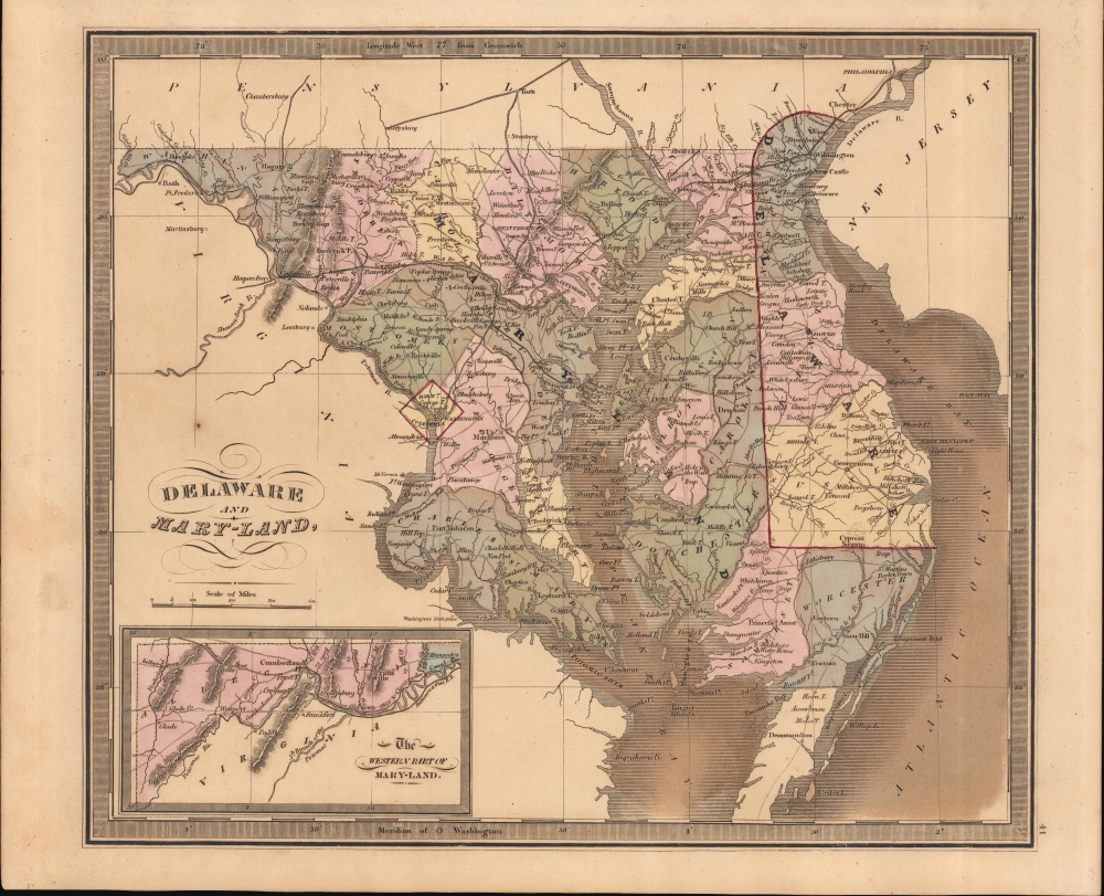
Delaware and Mary-Land.
sold
- Digital Map Information
- Suitable for large format printing
- DPI: 600
- File Size: 207.63 MB
- File Type: ZIP / TIFF
- ICC color profile embedded
- Delivered instantly via download link
This is Jeremiah Greenleaf's 1849 map of Maryland, Delaware, and Washington D.C. (more details)
Forth Worth and the F-16.

[Fort Worth].
sold
This is a 1975 General Dynamics bird's-eye view map of Fort Worth, Texas. This map was likely created to celebrate the YF-16's selection as the winner of the U.S. Air Force's Lightweight Fighter program, with the prototype appearing in the lower right. (more details)
A beautiful Paris palace burned during the Paris Commune.

Palais du Quai d'Orsay.
sold
- Digital Map Information
- Suitable for large format printing
- DPI: 600
- File Size: 28.63 MB
- File Type: ZIP / TIFF
- ICC color profile embedded
- Delivered instantly via download link
Completed only five years before this view was published, this is an 1845 Jules Arnout view of the Palais du Quai d'Orsay in Paris, France. The Palais du Quai d'Orsay occupies the center, with the Palais de la Légion d'Honneur to its right. The Quai runs along the river and workers appear along the banks of the Seine. Riverboats and canoes ply the waters of the Seine and a group of male revelers swim in the river and drink in their rowboat in the foreground. (more details)
Calabria, Sicily, and Malta.

Partie Méridionale du Royaume de Naples de celui de l'Isle de Sicile.
sold
- Digital Map Information
- Suitable for large format printing
- DPI: 600
- File Size: 13.45 MB
- File Type: ZIP / TIFF
- ICC color profile embedded
- Delivered instantly via download link
This is a c. 1787 Rigobert Bonne map of Calabria (southern Italy), Sicily, and Malta. Cities, towns, and villages are labeled throughout, including Reggio, Messina, Palermo, and Syracuse. Malta and Gozo appear along the bottom border near center with Valetta and Goza prominently labeled. Five scales are situated in the lower left. (more details)
Bar Harbor's Gilded Age.
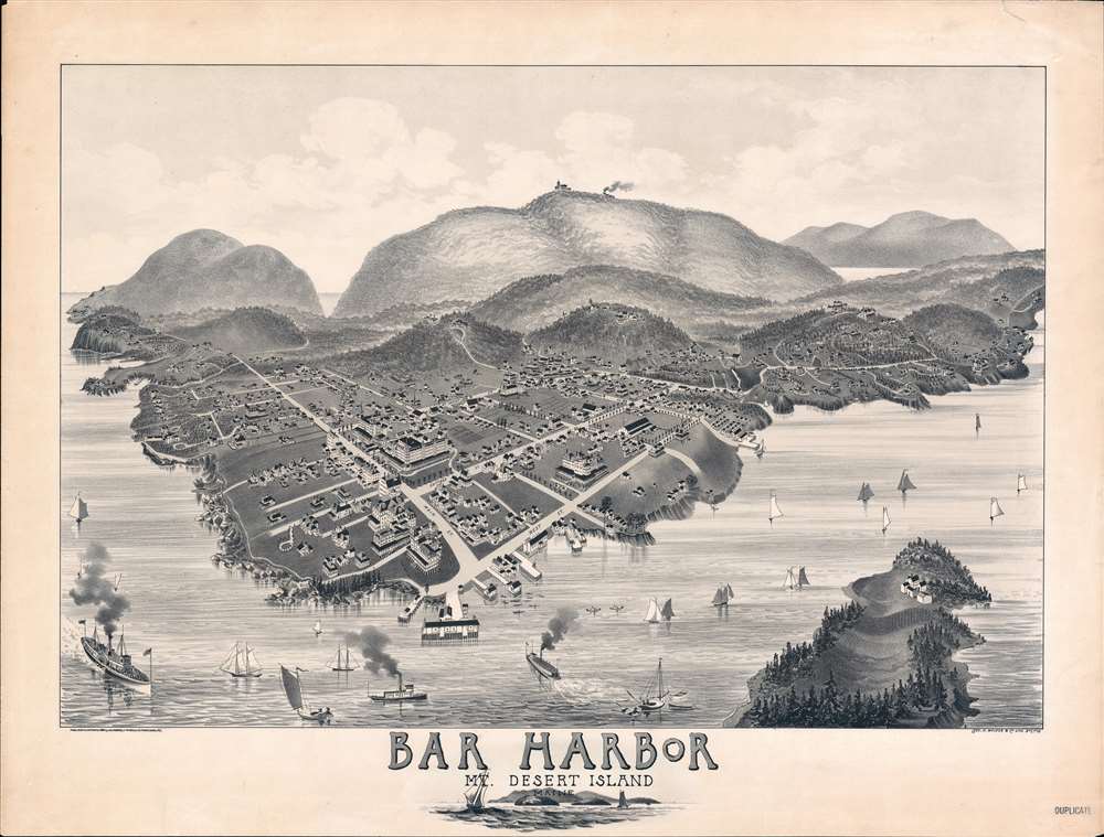
Bar Harbor Mt. Desert Island.
sold
- Digital Map Information
- Suitable for large format printing
- File Size: 60.03 MB
- File Type: ZIP / TIFF
- ICC color profile embedded
- Delivered instantly via download link
A rare and highly unusual 1886 Charles E. Jorgensen bird's-eye view of Bar Harbor, Mount Desert Island, Maine - illustrating the town at the height of Mount Desert Island's gilded age. This view was published to publicize the rebuilding of the Green Mountain Hotel (following a fire) and the inauguration of the Green Mountain Railroad - here visible at the summit of Cadillac Mountain. (more details)
Learn U.S. history and government!

United States History and Government Study. Being a Series of Charts and Maps Giving Outlines and Pictorial Illustrations for the Teaching of United States History and Civics in the Public Schools...
sold
An exceptional didactic tool consisting of 58 plates on 29 sheets, this is an 1896 Educational Publishing Company U.S. history and government study aid. (more details)
Short-lived Confederate State of Arizona.
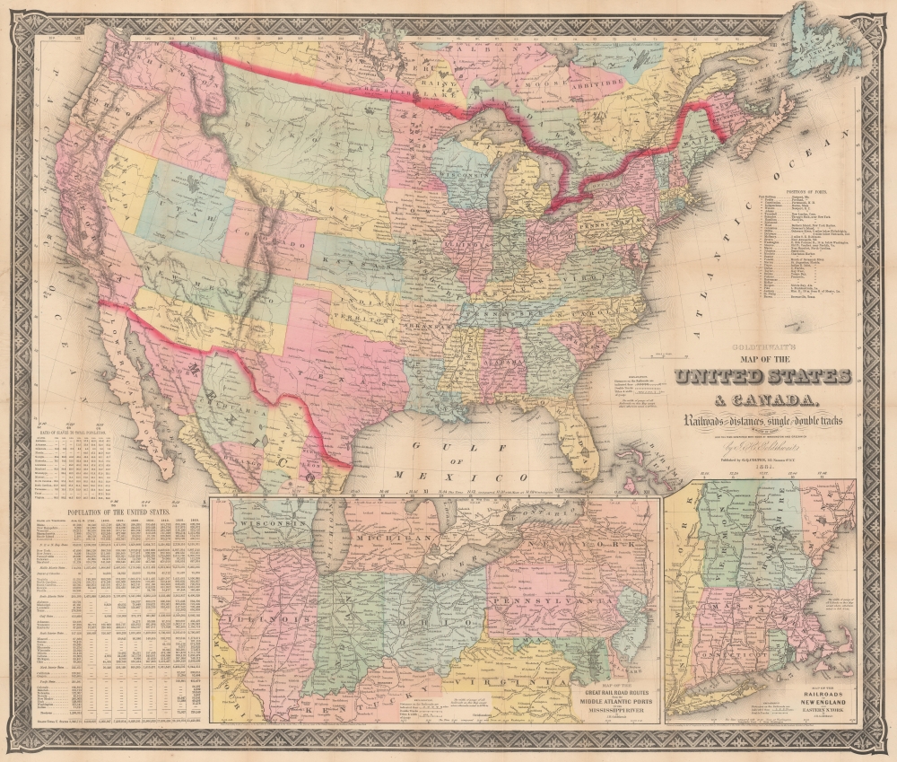
Goldthwait's Map of the United States and Canada, exhibiting the Railroads with their distances, single and double tracks and width of gauge.
sold
- Digital Map Information
- Suitable for large format printing
- File Size: 128.17 MB
- File Type: ZIP / TIFF
- ICC color profile embedded
- Delivered instantly via download link
Produced in the early days of the U.S. Civil War, this is Jonathan Hale Goldthwait's 1861 map of the United States and Canada. Highlighting matters of military importance, including railroads, ports, and the proportion of enslaved people in each state, it is notable for its inclusion of the Confederate Arizona Territory, a short-lived attempt to extend slaveholding territory beyond Texas and increase Confederate influence in the American West. (more details)