
One of the largest and most impressive maps of Scotland to appear in the 19th century.
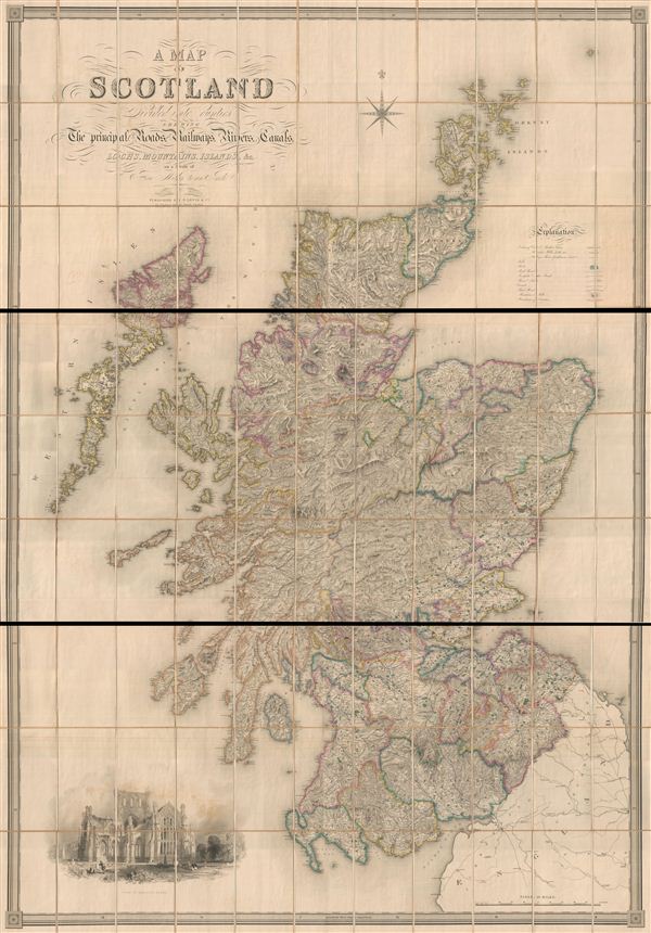
A Map of Scotland Divided Into Counties Shewing The Principal Roads, Railways, Rivers, Canals, Lochs, Mountains, Islands, etc. On A Scale Of Five Miles To An Inch.
sold
- Digital Map Information
- Suitable for large format printing
- File Size: 19.84 MB
- File Type: ZIP / TIFF
- ICC color profile embedded
- Delivered instantly via download link
A striking and monumental 1846 first edition map of Scotland by Samuel Lewis. Lewis issued this map to accompany his Topographical Dictionary of Scotland , published in 1846. In three large sections, this map covers all of Scotland as well as parts of adjacent ... (more details)
A large and early puzzle atlas.
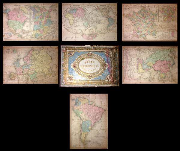
Atlas Geographique, Composé de Cent Cartes.
sold
This is a very attractive and rare c. 1860 jigsaw puzzle atlas published by Alexandre Delamarche. It consists of a custom box containing six jigsaw puzzle maps: South America, France, Europe, Asia, the World in hemispheres, and North America with the United ... (more details)
Incredible border work depicting nature scenes and wildlife.
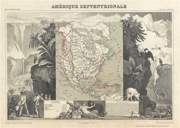
Amérique Septentrionale.
sold
- Digital Map Information
- Suitable for large format printing
- DPI: 300
- File Size: 7.72 MB
- File Type: ZIP / TIFF
- ICC color profile embedded
- Delivered instantly via download link
This is an 1852 Victor Levasseur map of North America. The map depicts the continent of North America from the Arctic Ocean and Greenland to Colombia in South America and from the Pacific Ocean to Iceland and northern Scotland. Levasseur published several ... (more details)
Extraordinary original wall map of Lyon, France - gastronomic capital of the world!
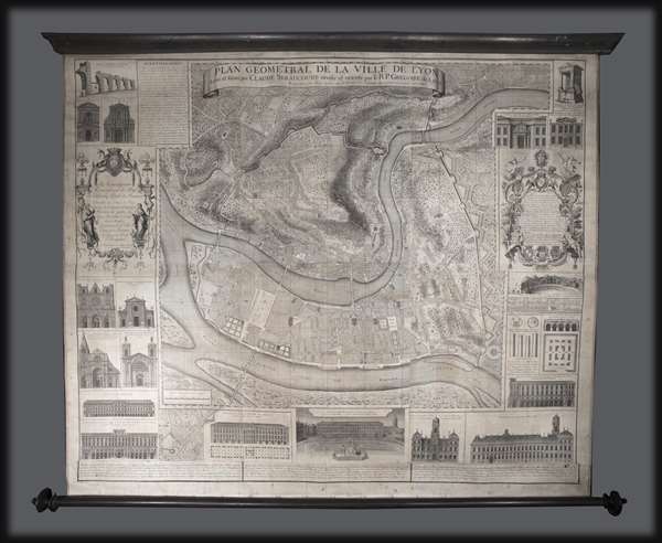
Plan Géometral de la Ville de Lyon.
sold
- Digital Map Information
- Suitable for large format printing
- Full resolution TIFF file
- ICC color profile embedded
- Delivered instantly via download link
A large wall map of Lyon, France by R. P Grégorie and Claude Seraucourt. Oriented to the east, this map centers on the convergence of the Rhone and Saone Rivers and the presqu'Ile , or peninsula, thus formed. It covers modern day Lyon's 1st and 2nd ... (more details)
Exceptionally large map of the world on waxed cloth illustrating Protestant Missions c. 1878.

Missionary map of the world showing the central stations of all Protestant missionary societies.
sold
One of the largest and most unusual maps we have dealt with, this is an enormous 1878 double hemisphere map of the world illustrating missionary activity. Published by G. W. and C. B. Colton, this map is printed on waxed linen cloth, several sheets ... (more details)
Rare Bird's-EyE View of the Bronx Zoo!

Panorama of the New York Zoological Park.
sold
- Digital Map Information
- Suitable for large format printing
- File Size: 24.86 MB
- File Type: ZIP / TIFF
- ICC color profile embedded
- Delivered instantly via download link
A rare 1913 chromolithograph view of the Bronx Zoo by William Adickes. Oriented to the east, this extraordinary view offers super detail such that individual animals, from birds to elk, elephants, bison and men, are clearly visible. Various parts ... (more details)
Unusual map illustrating compeating international fishing rights in the Gulf of St. Lawrence.

New Brunswick, Nova Scotia, Newfoundland, and Prince Edward Id.
sold
- Digital Map Information
- Suitable for large format printing
- Full resolution TIFF file
- ICC color profile embedded
- Delivered instantly via download link
This is a fascinating 1898 re-appropriation of Colton's 1855 map of the Canadian Maritime Provinces, including New Brunswick, Nova Scotia, Newfoundland, and Prince Edward Island, to illustrate American and French fishing rights in the Gulf of St. ... (more details)
The only surviving view of the University of Pennsylvania campus from the turn of the century.

University of Pennsylvania.
sold
- Digital Map Information
- Suitable for large format printing
- File Size: 13.03 MB
- File Type: ZIP / TIFF
- ICC color profile embedded
- Delivered instantly via download link
This is an iconic 1910 view of the University of Pennsylvania by Richard Rummell. Although this view was not published, as here, until 1910, Rummell's artwork dates to about 1904. It is considered the only surviving view of the University of ... (more details)
Large map of Maine including Portland and Midcoast Maine!
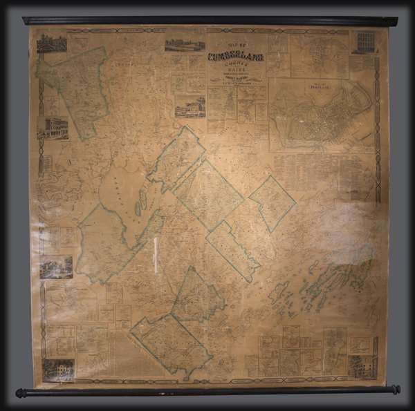
Map of Cumberland County Maine from actual surveys.
sold
An attractive 1857 wall map of Cumberland County, Maine, including Portland and the Casco Bay region. The map extends from Bridgton to Casco Bay, and from Lake Sebago to Brunswick, with details to the level of individual property owners. ... (more details)
Meticulously engraved map of London!
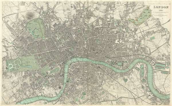
London 1843.
sold
- Digital Map Information
- Suitable for large format printing
- DPI: 300
- File Size: 20.02 MB
- File Type: ZIP / TIFF
- ICC color profile embedded
- Delivered instantly via download link
A beautiful 1843 map of London, England, from the 1844 Chapman and Hall edition of Maps of the Society for the Diffusion of Useful Knowledge . Updated from the original printing of 1835, this map covers central London from Buckingham ... (more details)
Detailed city map of Portland, Maine.
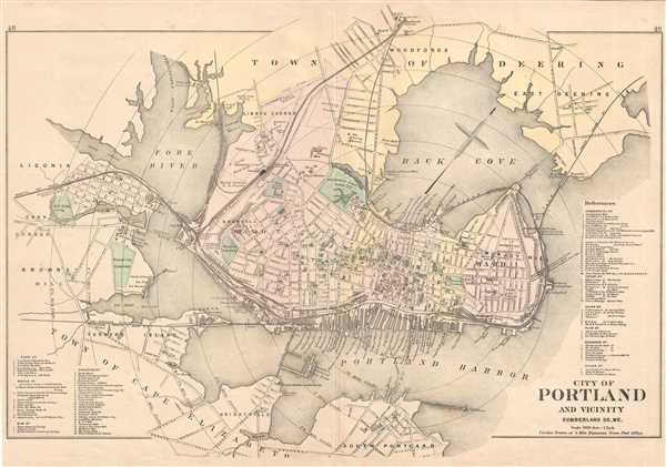
City of Portland and Vicinity Cumberland Co. Me.
sold
- Digital Map Information
- Suitable for large format printing
- File Size: 12.11 MB
- File Type: ZIP / TIFF
- ICC color profile embedded
- Delivered instantly via download link
This is an 1885 Gorge N. Colby and J. H. Stuart map of Portland, Maine. The map depicts from Liconia to East Deering and from Woodfords to South Portland. Portland is illustrated in dtail, with streets and buildings labeled, along ... (more details)
Detailed coast survey map which predates the U.S. Coast Survey.
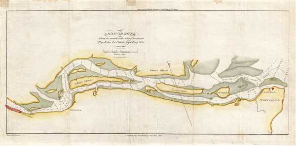
Savannah River From its Mouth to the City of Savannah.
sold
- Digital Map Information
- Suitable for large format printing
- DPI: 300
- File Size: 2.14 MB
- File Type: ZIP / TIFF
- ICC color profile embedded
- Delivered instantly via download link
This is an 1837 Edmund Blunt map or chart of the Savannah River. The map depicts the Savannah River from Savannah to its mouth near Tybee Island. Predating the U.S. Coast Survey, the detail present here is astonishing. Several ... (more details)
Depicts Jackson Square and the French Quarter!

New Orleans - The Crescent City - Lake Pontchartrain in the Distance.
sold
- Digital Map Information
- Suitable for large format printing
- File Size: 22.54 MB
- File Type: ZIP / TIFF
- ICC color profile embedded
- Delivered instantly via download link
This is an 1884 Charles Graham and Harper's Weekly map or view of New Orleans, Louisiana. The map depicts New Orleans from the Mississippi River to Lake Pontchartrain. The Mississippi River occupies the immediate foreground. ... (more details)
Depicts Oslo and Bergen!
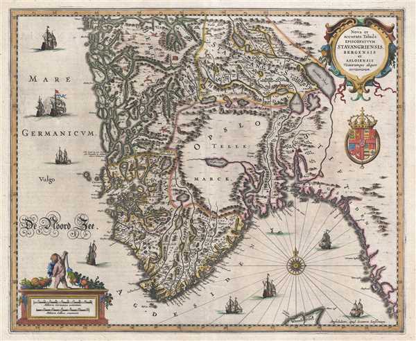
Nova et accurata Tabula Episcopatvvm Stavangriensis, Bergensis et Asloiensis.
sold
- Digital Map Information
- Suitable for large format printing
- DPI: 300
- File Size: 9.82 MB
- File Type: ZIP / TIFF
- ICC color profile embedded
- Delivered instantly via download link
This is a 1638 Jan Jansson or Johannes Jansonnius map of Norway. The map depicts Norway from the North Sea to Sweden and from the region around Bergen to the North Sea. Both Bergen and Oslo are labeled and marked using small ... (more details)
Historically intriguing map overlaying French and English land grants along Lake Champlain.

Map of French and English Grants on Lake Champlain.
sold
- Digital Map Information
- Suitable for large format printing
- DPI: 300
- File Size: 4.9 MB
- File Type: ZIP / TIFF
- ICC color profile embedded
- Delivered instantly via download link
This is an 1851 Richard H. Pease map of Lake Champlain. The map depicts Lake Champlain from the extreme northern end of Lake George to 45° 0' latitude and a certain amount of land on either side of the lake. French and ... (more details)
One of the immensely popular Romance Maps of the 1930s!
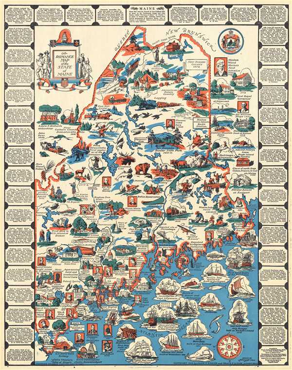
A Romance Map of the State of Maine.
sold
- Digital Map Information
- Suitable for large format printing
- File Size: 13.46 MB
- File Type: ZIP / TIFF
- ICC color profile embedded
- Delivered instantly via download link
This is a 1936 Alice E. Fowler and Grace F. Dodge pictorial map of Maine. The map depicts the state of Maine from New Hampshire to the Atlantic Ocean and from the Piscataqua River to Quebec and New Brunswick, Canada. ... (more details)
Depicts the routes to the Yukon gold regions!

Alaska and Part of British America. The Yukon Gold Fields and Routes by Which They Are Reached.
sold
- Digital Map Information
- Suitable for large format printing
- File Size: 6.82 MB
- File Type: ZIP / TIFF
- ICC color profile embedded
- Delivered instantly via download link
This is a 1903 Mast, Crowell, and Kirkpatrick map of Alaska and the Yukon gold fields. The map depicts from the Bering Sea and the Bering Strait to the Mackenzie District and British Columbia in Canada and from the ... (more details)
Monumental map of Paris in nine panels.

Paris et ses Environs.
sold
- Digital Map Information
- Suitable for large format printing
- File Size: 180.69 MB
- File Type: ZIP / TIFF
- ICC color profile embedded
- Delivered instantly via download link
A rare example of the c. 1900 reissue of Albert Jouvin de Rochefort's monumental 1675 nine panel map of Paris. Rochefort's plan of Paris was influential due to its illustration of the rapidly expanding urban ... (more details)
The only Civil War Era wall map of the United States issued by the U.S. Government.

The Washington Map of the United States.
sold
This is the 1861 second edition of Matthew Fontaine Maury’s important wall map of the United States, published by simultaneously by Taintor & Company in Philadelphia and Holmes Harrison & Company of ... (more details)
Map of the most beautiful part of Coastal Maine, including Mount Desert Island and Acadia National Park.
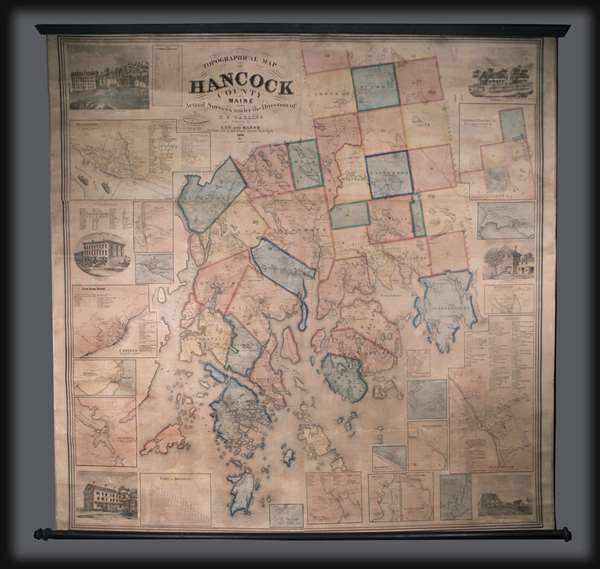
Topographical Map of Hancock County Maine.
sold
This is an 1860 Henry Francis Walling wall map of Hancock County, Maine. The map depicts from Aurora and Amherst to Isle au Haut and from the Penobscot River to Gouldsborough. Divided into townships, several ... (more details)