
Large attractive map of San Francisco.
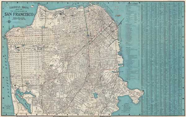
Thomas Bros Map of the City and County of San Francisco.
sold
- Digital Map Information
- Suitable for large format printing
- File Size: 21.83 MB
- File Type: ZIP / TIFF
- ICC color profile embedded
- Delivered instantly via download link
This is a fine c.1938 pocket map or plan of the city of San Francisco by Thomas Bros. It covers San Francisco City from Lake Merced in the south to the Golden Gate Bridge in the north and from Great Highway in the west to Avisadero Point in the east. It notes ... (more details)
Large dramatic wall map of North America.
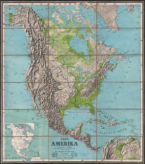
Nord-Amerika.
sold
- Digital Map Information
- Suitable for large format printing
- File Size: 30.88 MB
- File Type: ZIP / TIFF
- ICC color profile embedded
- Delivered instantly via download link
This is a large c.1889 color photo-lithograph wall map of North America. The map covers the whole of North America from the Bering Strait south to Panama. Important cities, lakes, rivers, mountains, islands, and a host of other topographical features are ... (more details)
A landmark map of Long Island and the earliest Long Island Wall Map.
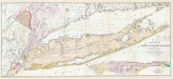
Geological Map of Long & Staten Islands with the Environs of New York.
sold
- Digital Map Information
- Suitable for large format printing
- DPI: 300
- File Size: 28.77 MB
- File Type: ZIP / TIFF
- ICC color profile embedded
- Delivered instantly via download link
Issued prior to the American Civil War and the subsequent Long Island land rush, this is one of the most detailed and attractive large format maps of Long Island to appear in the 19th Century. It is also the first comprehensivle geological study of Long ... (more details)
The world on a globular projection.
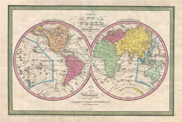
A New Map of the World in the Globular Projection.
sold
- Digital Map Information
- Suitable for large format printing
- DPI: 300
- File Size: 5.26 MB
- File Type: ZIP / TIFF
- ICC color profile embedded
- Delivered instantly via download link
This is a beautiful hand colored map of the world published by S. A. Mitchell Sr. in 1854. Depicts the world on hemispherical projection and offers a fascinating snapshot of the world during a period of rapid globalization and discovery. Africa and ... (more details)
One of the more attractive 19th century commercial atlas maps of New York City.

City of New York.
sold
- Digital Map Information
- Suitable for large format printing
- DPI: 300
- File Size: 8.53 MB
- File Type: ZIP / TIFF
- ICC color profile embedded
- Delivered instantly via download link
One of the more attractive atlas maps of New York to appear in the mid-19th century, this is a beautiful example of S. A. Mitchell Junior's 1854 map of southern Manhattan. The map depicts southern Manhattan from 37th street (Kips Bay) south to ... (more details)
One of the more attractive 19th century commercial atlas maps of Washington D.C.

City of Washington
sold
- Digital Map Information
- Suitable for large format printing
- DPI: 300
- File Size: 7.03 MB
- File Type: ZIP / TIFF
- ICC color profile embedded
- Delivered instantly via download link
This is a fine example of S. A. Mitchell and Thomas Cowperthwait's 1854 map or plan of Washington D.C. Given that most of Washington D.C. was under construction when this map was drawn, Mitchell's plan is a remarkable combination of existing ... (more details)
Shows the site of the nation's first Gold Rush.
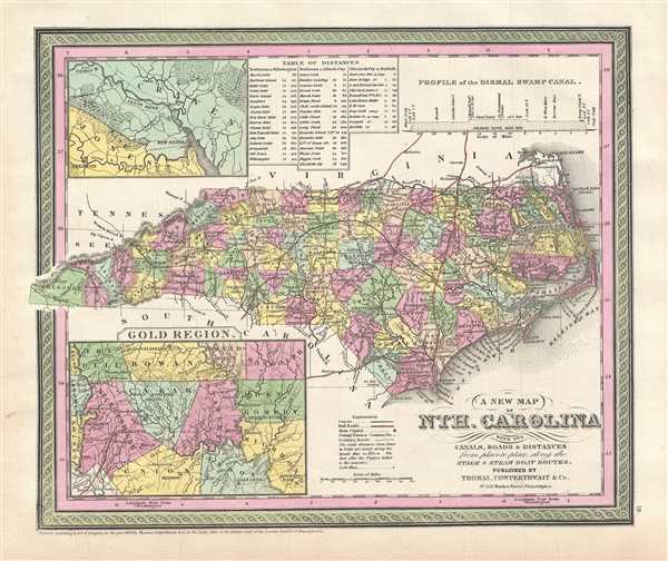
A New Map of Nth. Carolina with its Canals, Roads & Distances from Place to Place, along the Stage & Steam Boat Routes.
sold
- Digital Map Information
- Suitable for large format printing
- DPI: 300
- File Size: 6.88 MB
- File Type: ZIP / TIFF
- ICC color profile embedded
- Delivered instantly via download link
A fine example of Samuel Augustus Mitchell's important 1854 map of North Carolina. This map shows cities, topographical features, railways, ferries and roads with color coding at the county level. In addition to cartographic information ... (more details)
Vivid map of Florida.
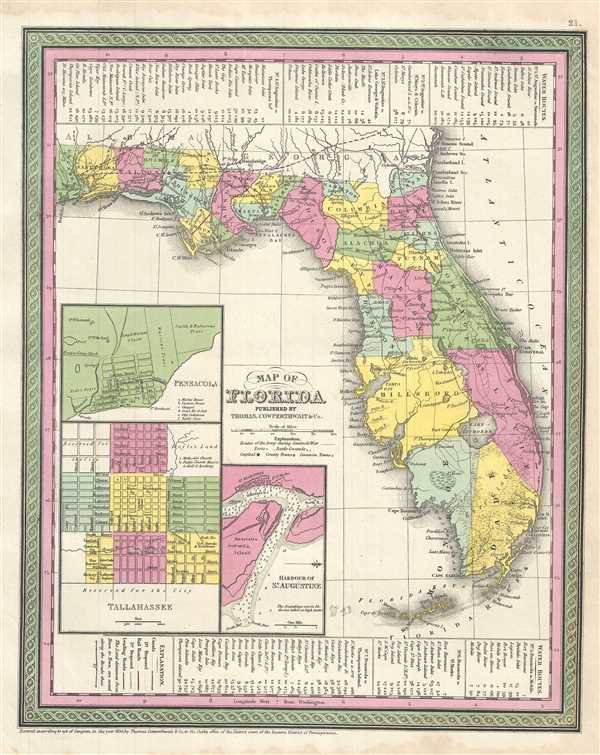
Map of Florida.
sold
- Digital Map Information
- Suitable for large format printing
- DPI: 300
- File Size: 6.39 MB
- File Type: ZIP / TIFF
- ICC color profile embedded
- Delivered instantly via download link
A fine example of Thomas Cowperthwait and S. A. Mitchell's 1854 map of Florida. Mitchell's map covers the entire state in considerable detail with towns, cities, counties, swamps, and reefs noted. Water routes and their distances from ... (more details)
California in the final years of the California Gold Rush.
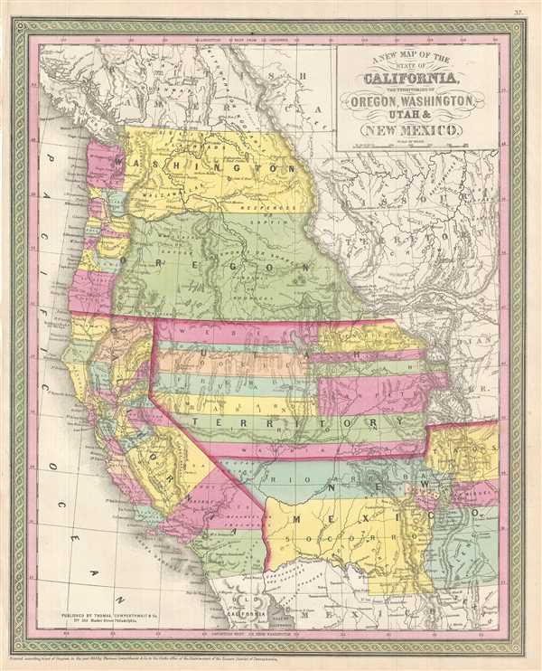
A New Map of the State of California, the Territories of Oregon, Washington, Utah & New Mexico.
sold
- Digital Map Information
- Suitable for large format printing
- DPI: 300
- File Size: 7.76 MB
- File Type: ZIP / TIFF
- ICC color profile embedded
- Delivered instantly via download link
A fine example of S. A. Mitchell and J. H. Young's important 1854 map of California and the western territories of Washington, Oregon, Utah, and New Mexico. Based upon Mitchell's seminal pocket map of 1846, this map covers from ... (more details)
Highly decorative early map of the Great Lakes showing fictional islands in Lake Superior.
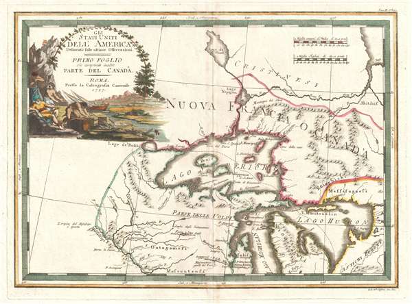
Gli Stati Uniti dell' America delineati sulle ultime Osservazioni. Primo Foglio che comprende inoltre Parte del Canada.
sold
- Digital Map Information
- Suitable for large format printing
- DPI: 300
- File Size: 7.79 MB
- File Type: ZIP / TIFF
- ICC color profile embedded
- Delivered instantly via download link
A spectacular 1797 Giovanni Maria Cassini map of the Western Great Lakes and the surrounding regions. Centered on Lake Superior, the map covers from the Mississippi River to the eastern limits of Lake Huron and from an ... (more details)
Decorative early map of the United States Southeast with Florida as an Archipelago.

Gli Stati Uniti dell' America delineati sulle ultime Osservazioni. Quinto Fogloi che comprende La Georgia, e parte della Carolina con, la Florida.
sold
- Digital Map Information
- Suitable for large format printing
- DPI: 300
- File Size: 8.53 MB
- File Type: ZIP / TIFF
- ICC color profile embedded
- Delivered instantly via download link
A spectacular 1797 Giovanni Maria Cassini map of the southeastern part of the then fledgling United States. Centered on Pensacola, the map covers rom the Mississippi River to the Atlantic Seaboard and from ... (more details)
Extremely rare early 19th century Spanish scientific mapping of Mobile Bay.
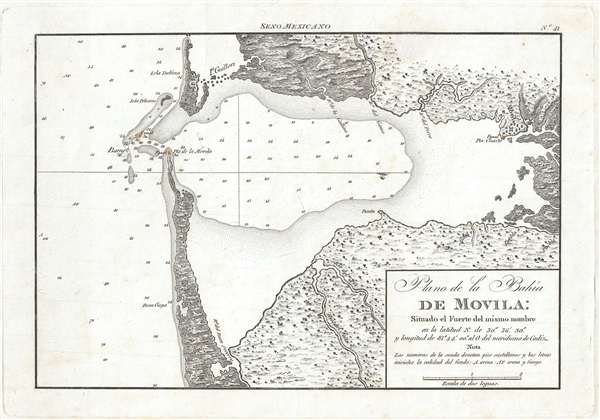
Plano de la Bahía de Movila Situado el Fuerte del mismo nombre en la latitud N. de 30º 36'' 30. y longitud de 81º 44' 00'' al O. del meridiano de Cádiz.
sold
- Digital Map Information
- Suitable for large format printing
- DPI: 300
- File Size: 1.98 MB
- File Type: ZIP / TIFF
- ICC color profile embedded
- Delivered instantly via download link
A stunning and rare 1809 map of Mobile Bay, Alabama by the Spanish maritime cartographic agency, La Dirección Hidrográfica . Oriented to the west, this map covers all of Mobile Bay from the French city ... (more details)
Exceptional graphic large format map commemorative of New York City by master engraver Charles Magnus.
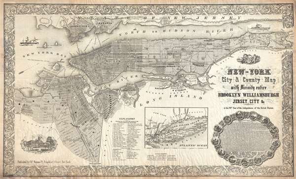
New-York City and County Map with Vicinity entire Brooklyn Williamsburgh Jersey City an c. in the 79th Year of Independence of the United States.
sold
- Digital Map Information
- Suitable for large format printing
- File Size: 30.88 MB
- File Type: ZIP / TIFF
- ICC color profile embedded
- Delivered instantly via download link
An altogether extraordinary 1855 broadside map of New York City issued by map publisher Charles Magnus in commemoration of the signing of the Declaration of Independence. Depicts the entirety of ... (more details)
Map with unusual coverage including Newfoundland and Charleston, South Carolina, on a single sheet
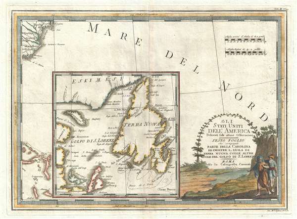
Gli Stati Uniti dell' America delineati sulle ultime Osservazioni, Sesto Foglio che comprende parte della Carolina ed inoltre l'Isola di Terra Nuova colle altre isole del Golfo di S. Lorenzo.
sold
- Digital Map Information
- Suitable for large format printing
- DPI: 300
- File Size: 9.22 MB
- File Type: ZIP / TIFF
- ICC color profile embedded
- Delivered instantly via download link
An unusually laid out example of Cassini's stunning 1797 map of North and South Carolina, Newfoundland, and part of the Bahamas. The map is dominated by a large inset of Newfoundland also ... (more details)
Remarkable map providing a great deal of detail regarding American Indian Tribes in eastern Canada.

Gli Stati Uniti dell' America delineati sulle ultime Osservazioni, Secondo Foglio che comprende Parte Della Nuova Inghilterra ed inoltre La Nuova Scozia E Porzione Del Canadà.
sold
- Digital Map Information
- Suitable for large format printing
- DPI: 300
- File Size: 9.98 MB
- File Type: ZIP / TIFF
- ICC color profile embedded
- Delivered instantly via download link
A very nice example of Cassini's stunning 1797 map of Canada and New England. Centered on the St. Lawrence River, this map covers from James Bay to Nova Scotia and from Lake Ontario to ... (more details)
Supports Pennsylvania's unresolved claim to the Upper Wyoming Valley following the Yankee-Pennamite Wars.
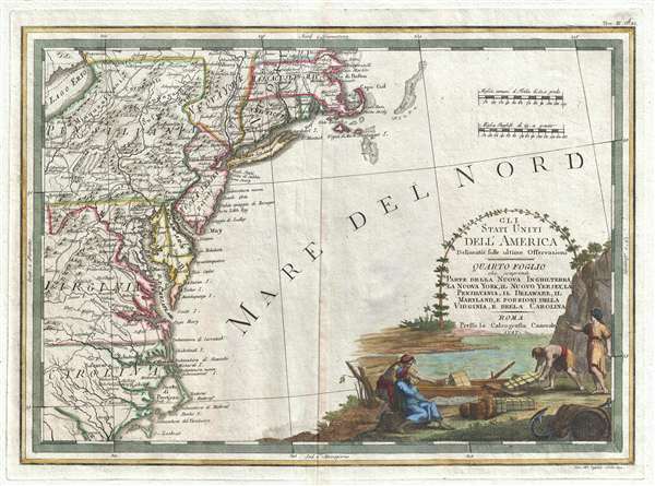
Gli Stati Uniti dell' America delineati sulle ultime Osservazioni, Quarto foglio che comprende parte della Nuova Inghilterra, la Nuova York, il Nuovo Yersey, la Pensilvania, il Delaware, il Maryland, e porzioni della Virginia, e della Carolina.
sold
- Digital Map Information
- Suitable for large format printing
- DPI: 300
- File Size: 8.45 MB
- File Type: ZIP / TIFF
- ICC color profile embedded
- Delivered instantly via download link
A very nice example of Cassini's stunning 1797 map of the Eastern seaboard of the United States. The map covers from Massachusetts to Cape Lookout and inland as far as Lake Erie and ... (more details)
Centered on the important French colony of Hispaniloa.

Partie de la mer du Nord, où se trouvent les grandes et petites isles Antilles, et les Isles Lucayes.
sold
- Digital Map Information
- Suitable for large format printing
- Full resolution TIFF file
- ICC color profile embedded
- Delivered instantly via download link
A fine c. 1750 map of the West Indies and southern Florida by Robert de Vaugondy. Centered on the important French colony of Hispaniola, this map covers from the northern part of ... (more details)
Detailed street map of Boston and vicinity.
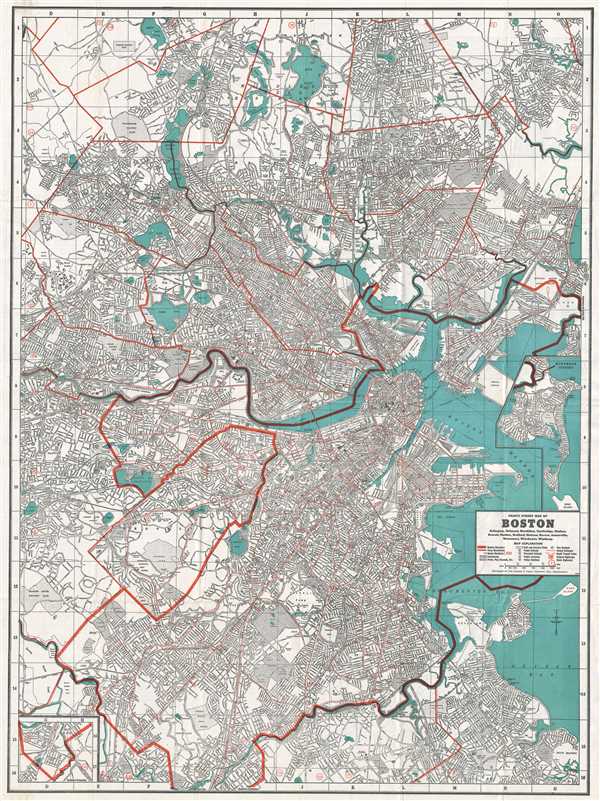
Cram's Street Map of Boston.
sold
- Digital Map Information
- Suitable for large format printing
- File Size: 34.88 MB
- File Type: ZIP / TIFF
- ICC color profile embedded
- Delivered instantly via download link
This is a beautiful 1939 map or plan of the city of Boston, Massachusetts and its surroundings issued by The George F. Cram Company, Inc. It covers from Woburn south to Hyde Park ... (more details)
Important map of the Philippines illustrating early proposed railroads.
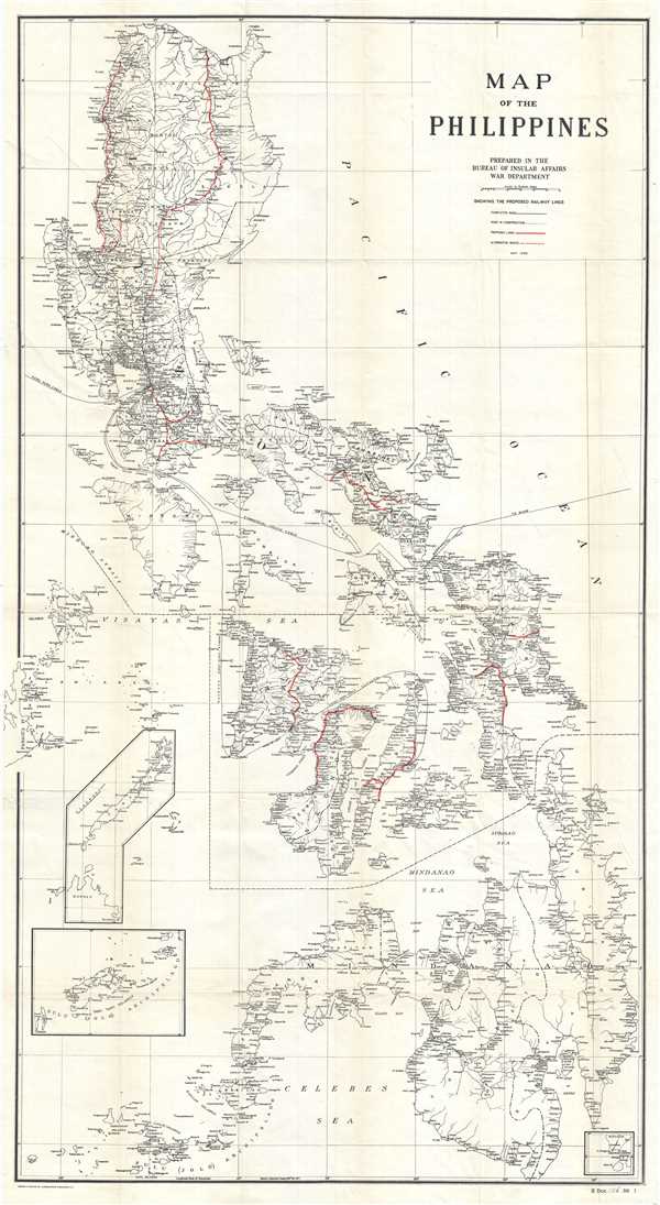
Map of the Philippines.
sold
- Digital Map Information
- Suitable for large format printing
- File Size: 24.8 MB
- File Type: ZIP / TIFF
- ICC color profile embedded
- Delivered instantly via download link
A scarce and impressive large format map of the Philippines issued in 1905 to illustrate proposed rail lines. In 1905 the Second Philippine Commission, under William H. Taft, ... (more details)
Large map of Asia with several vignettes.
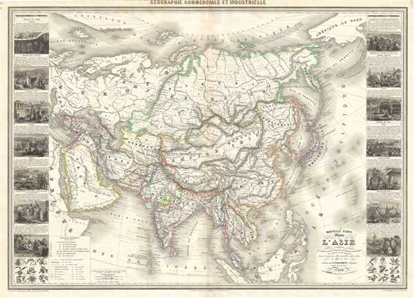
Nouvelle carte illustree de l'Asie.
sold
- Digital Map Information
- Suitable for large format printing
- File Size: 32.65 MB
- File Type: ZIP / TIFF
- ICC color profile embedded
- Delivered instantly via download link
This is a beautiful large 1859 map of Asia by Alexandre Vuillemin. Covers the entire continent from Arabia eas as far as Kamchatka and from Siberia to the Malay Peninsula. ... (more details)