
NEW ACQUISITIONS
Paris emerging as a modern European capital.
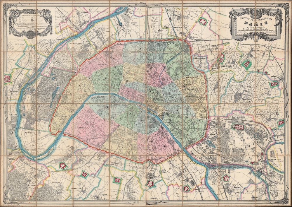
Nouveau plan géométrique de Paris et ses environs.
$3,000.00
Acquire
- Digital Map Information
- Suitable for large format printing
- File Size: 184.63 MB
- File Type: ZIP / TIFF
- ICC color profile embedded
- Delivered instantly via download link
This is an impressive 1873 Victor Clérot city plan or map of Paris, measuring nearly 5 feet wide. In 1873, Paris was in the midst of recovery and transformation, still bearing the scars of the Franco-Prussian War and the Commune of 1871. The Third Republic was consolidating its power, establishing a more stable and democratic government, setting the stage for Paris's resurgence as a center of cultural and intellectual activity in Europe. It also illustrates the Theirs Wall and the city's impressive, if short-lived, fortifications. (more details)
Earliest map of Tribeca?
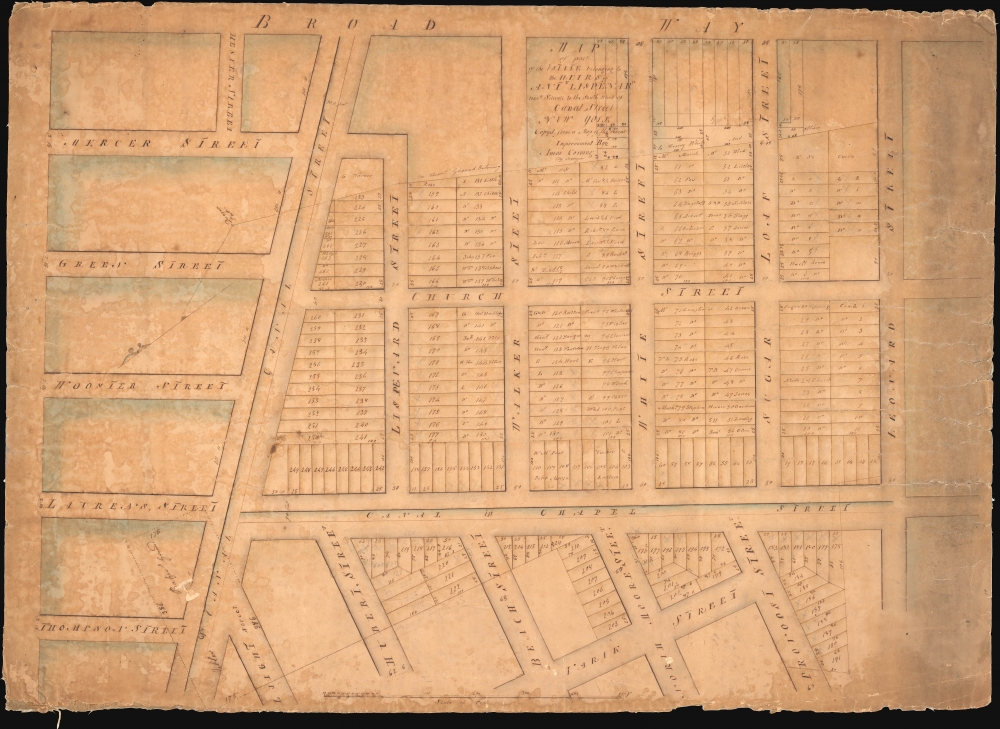
Map of Part of the Estate belonging to the Heirs of Anty Lispenard Decd. Situate to the South Ward of Canal Street New York.
$2,750.00
Acquire
- Digital Map Information
- Suitable for large format printing
- DPI: 600
- File Size: 70.94 MB
- File Type: ZIP / TIFF
- ICC color profile embedded
- Delivered instantly via download link
This unique c. 1801 manuscript map is likely the earliest to specifically illustrate modern-day Tribeca, New York City. The survey dates to 1801, but this manuscript copy was likely drawn around 1808-1809 when the author Amos Corning held the office of City Surveyor. It details lands owned by Anthony Lispenard Bleecker (1741 - 1816), here subdivided into properties, on some of which landholders are identified. (more details)
Northwest Passage - Reconciling fact, fiction, and wishful thinking.
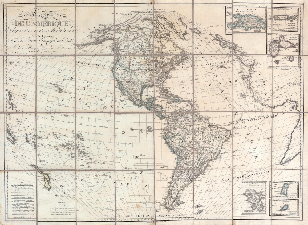
Carte de l'Amérique Septentrionale et Meridionale, ou se trouveur les Trois Voyages de Cook et Ceux de MacKenzie, Vancouver et La Perouse, Parry et Franklin, Dresée par Herisson, eleve de Bonne, ancien Ingénieuo hydrographe de la Marine.
$2,500.00
Acquire
- Digital Map Information
- Suitable for large format printing
- Full resolution TIFF file
- ICC color profile embedded
- Delivered instantly via download link
A most unusual and intriguing 1833 wall map of America by Eustache Hérisson. The map makes a number of interesting and curious claims regarding multiple possibilities for a Northwest Passage - attempting to reconcile factual discovery, with apocryphal popular legends, and outright wishful thinking. It covers the western hemisphere, focusing on North and South America, and the surrounding oceans. Full coverage extends east to include the coasts of Europe and Africa, and west as far as New Caledonia and New Hebrides. As the title suggests, tracks follow the maritime routes of important explorers, including Cook, Vancouver, La Perouse. The map also notes the overland expeditions of Mackenzie (1780) and Hearne (1772). Further north, the 1819 - 1820 discoveries of William Edward Parry, and John Franklin's 1819 Coppermine Expedition and 1823 Mackenzie River Expeditions are noted. (more details)
Striking plan of Venice.
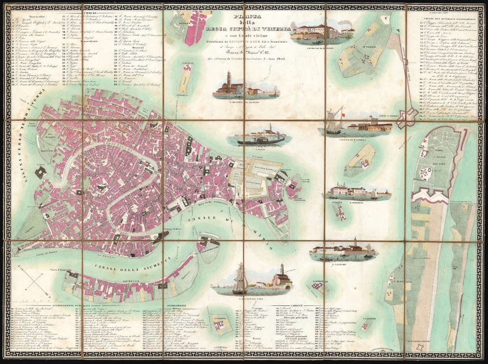
Pianta della regia citta di Venezia a sue isole vicine.
$2,500.00
Acquire
- Digital Map Information
- Suitable for large format printing
- DPI: 600
- File Size: 87.78 MB
- File Type: ZIP / TIFF
- ICC color profile embedded
- Delivered instantly via download link
This is a beautiful 1841 Giuseppe Kier city map of Venice, featuring an array of superbly lithographed views. (more details)
'I don't care, for I have seen the elephant!'
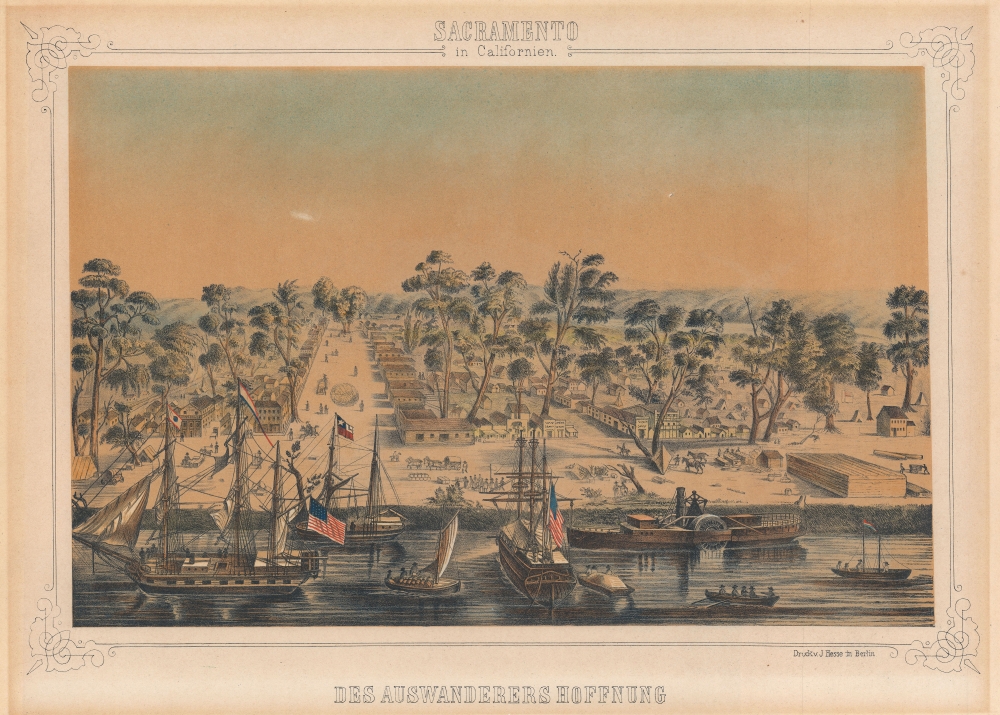
Sacramento in Californien: Des Auswanderers Hoffnung.
$1,400.00
Acquire
- Digital Map Information
- Suitable for large format printing
- Full resolution TIFF file
- ICC color profile embedded
- Delivered instantly via download link
This is a rare c. 1850 German lithograph view of Sacramento, California, at the height of the California Gold Rush. (more details)
Original planning map of Palm Desert by the city's founder.
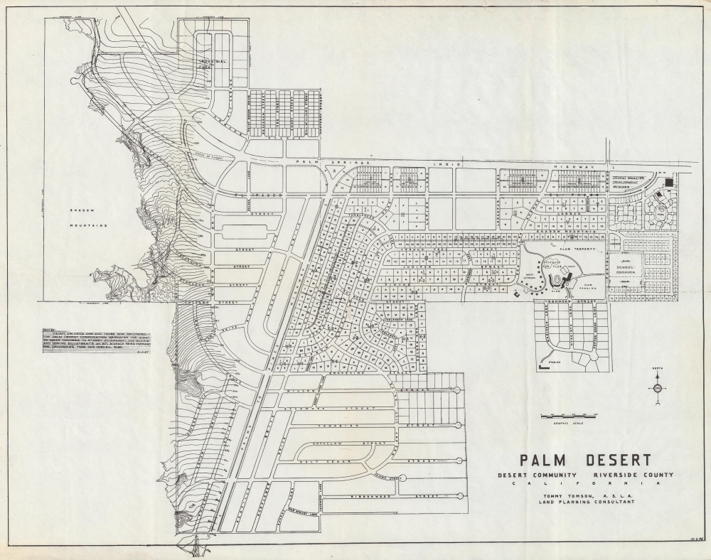
Palm Desert Desert Community Riverside County California.
$1,250.00
Acquire
- Digital Map Information
- Suitable for large format printing
- File Size: 200.03 MB
- File Type: ZIP / TIFF
- ICC color profile embedded
- Delivered instantly via download link
The original 1946 planning map of Palm Desert, California, by city founder Tommy Tomson. Palm Desert is one of California's most successful post-war planned communities - here laid out and planned when it existed only as a dream. (more details)
The Colossus of Rhodes!
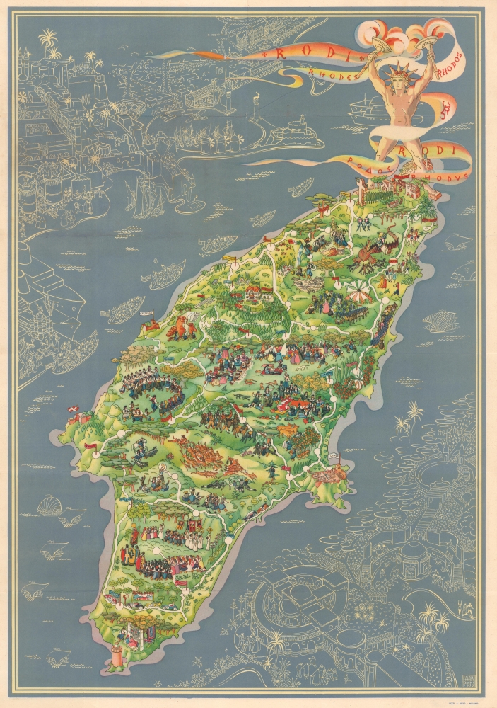
Rodi. Rhodes. Rhodos.
$1,000.00
Acquire
- Digital Map Information
- Suitable for large format printing
- Full resolution TIFF file
- ICC color profile embedded
- Delivered instantly via download link
This is a 1935 Egon Huber pictorial map of Rhodes. (more details)
The Way of St. James... it is not the destination but the journey.
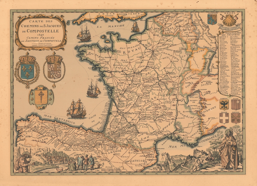
Carte des Chemins de S. Jacques de Compostelle 1648 Camino Francés de Santiago de Compostela.
$950.00
Acquire
This is a 1973 Daniel-Louis Derveaux map of France and northern Spain, illustrating the historic pilgrimage to Santiago de Compostela. Derveaux crafted this map in the 17th - 18th-century styles of J. B. Homann and Blaeu, but the map was issued as a novelty item in the early 1970s. (more details)
Missouri Territory and the 'Oregon Question'.
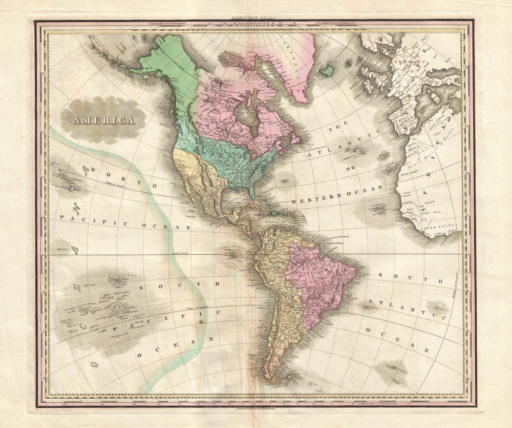
America.
$950.00
Acquire
- Digital Map Information
- Suitable for large format printing
- DPI: 300
- File Size: 12.27 MB
- File Type: ZIP / TIFF
- ICC color profile embedded
- Delivered instantly via download link
This is an 1825 Henry Shenk Tanner map of the Americas and the Western Hemisphere. (more details)
St. Louis's most attractive neighborhood.
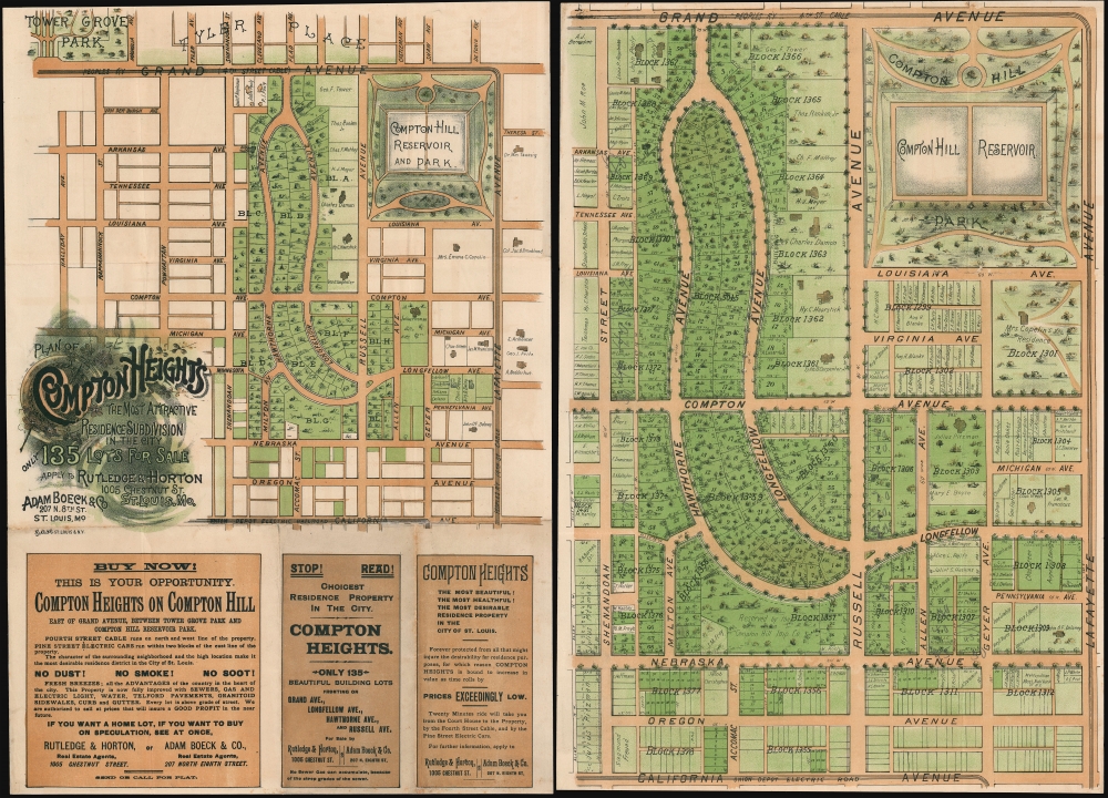
Plan of Compton Heights The Most Attractive Residence Subdivision in the City.
$900.00
Acquire
- Digital Map Information
- Suitable for large format printing
- File Size: 48.75 MB
- File Type: ZIP / TIFF
- ICC color profile embedded
- Delivered instantly via download link
A rare c. 1895 chromolithograph view promotional real estate map of Compton Heights, St. Louis, Missouri. Compton Heights is one of the first planned communities int the United States and one of the most historic and beautiful neighborhoods in St. Louis. The promotional consists of two maps, printed back-to-back on a single sheet. The title side features a smaller map of Compton Heights covering from Tower Grover Park to the Electric Railroad on California Ave, and from Halliday Ave to Layfette Ave. Below the map, there are advertising promoting the virtues of Compton Heights and the real estate agents, Boeck, Rutledge, and Horton, from whom the properties could be acquired. The verso features a much large map, identifying individual lots as well as existing properties and the property owners. (more details)
First Map of the first state to be published in the United States.
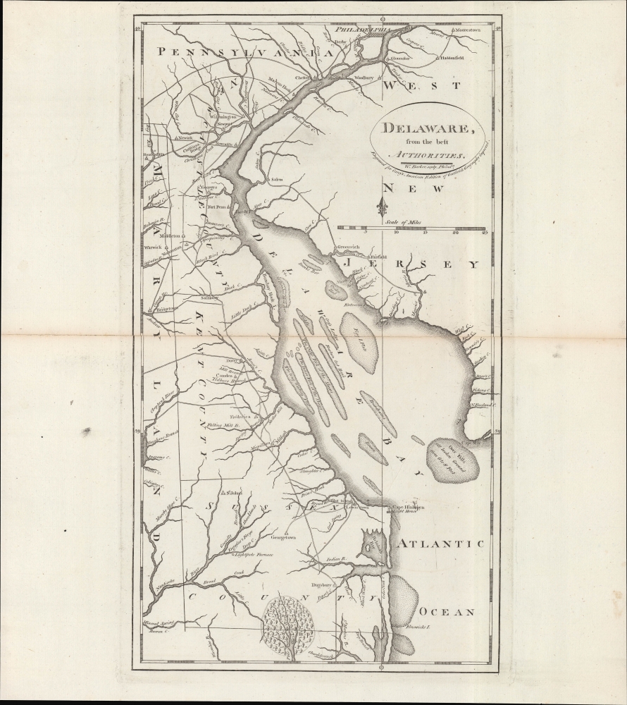
Delaware, from the best authorities.
$500.00
Acquire
- Digital Map Information
- Suitable for large format printing
- DPI: 600
- File Size: 24.55 MB
- File Type: ZIP / TIFF
- ICC color profile embedded
- Delivered instantly via download link
An example of Matthew Carey and William Barker's 1795 map of Delaware, which appeared in Carey's American Edition of Guthrie's Geography Improved, the first atlas published in the United States of America. It provides a fascinating snapshot of America's first state in the years following independence. (more details)
L.A. in the Roaring Twenties.
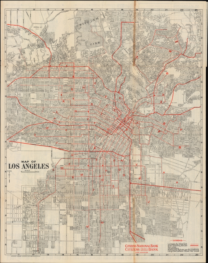
Map of Los Angeles. / Map of Los Angeles and District.
$450.00
Acquire
- Digital Map Information
- Suitable for large format printing
- Full resolution TIFF file
- ICC color profile embedded
- Delivered instantly via download link
An impressively detailed c. 1925 Leslie Combs map of Los Angeles, produced for the Citizens National Bank and Citizens Trust and Savings Bank. It displays greater Los Angeles at a time of rapid growth, while highlighting the networks of the Los Angeles Railway streetcars and Pacific Electric Railway interurban trains. (more details)
Unrecorded pictorial map of Texas by a legendary Broadway set designer.
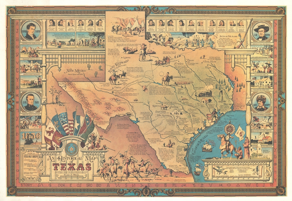
A Historical Map of Texas Beginning with the Spanish Explorations.
$450.00
Acquire
An unrecorded 1982 pictorial map of Texas history drawn by Bill Car and issued by the Broadway set designer Peter Wolf. (more details)
By the Architect of Modern San Francisco.
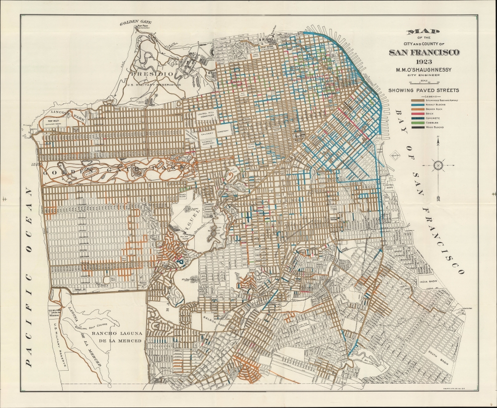
Map of the City and County of San Francisco.
$450.00
Acquire
- Digital Map Information
- Suitable for large format printing
- File Size: 501.53 MB
- File Type: ZIP / TIFF
- ICC color profile embedded
- Delivered instantly via download link
An example of M. M. O'Shaugnessy's 1923 urban planning map of San Francisco. It highlights the various types and quality of road surfaces throughout the city, while also demonstrating the uncertain future of certain neighborhoods in the quickly growing city. (more details)
Golden State Grapes.
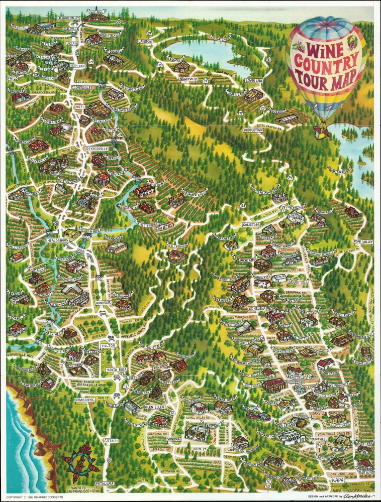
Wine Country Tour Map.
$325.00
Acquire
A vibrant pictorial view of northern California's wine country by Ron Morales, published by Graphic Concepts in 1985, at the height of northern California's wine renaissance. (more details)
Training in the Mojave Desert for the North Africa campaign.
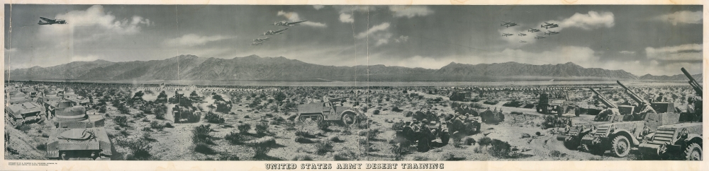
United States Army Desert Training.
$275.00
Acquire
- Digital Map Information
- Suitable for large format printing
- File Size: 60.96 MB
- File Type: ZIP / TIFF
- ICC color profile embedded
- Delivered instantly via download link
This is a c. 1942 W. R. Thompson composite panorama photograph of the United States Army desert training during World War II. Covering over 18,000 square miles in California, Arizona, and Nevada, the Desert Training Center was established by General George S. Patton to train the U.S. Forces for the 1942 - 1943 North African campaign. (more details)
Visit the Oregon Dunes National Recreation Area and the Sea Lion Caves.
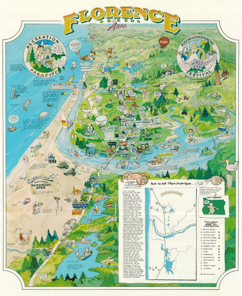
Florence Oregon Area.
$250.00
Acquire
A charming piece, this is a 1989 Stuart Henderson pictorial map of Florence, Oregon. Situated at the mouth of the Siuslaw River, Florence is unofficially known as 'Oregon's coastal playground' and is not far from the famous Sea Lion Caves. (more details)
Mapping Denver's first railroads - only known example.
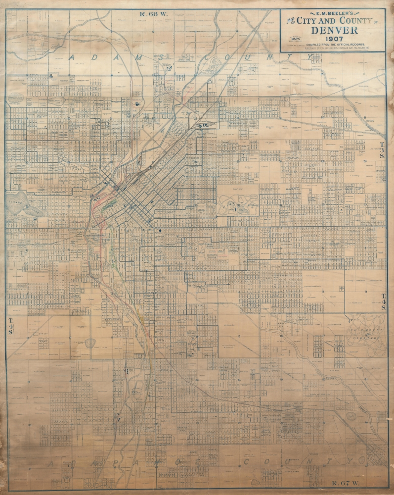
E. M. Beeler's Map of City and County of Denver 1907.
$4,500.00
Acquire
- Digital Map Information
- Suitable for large format printing
- Full resolution TIFF file
- ICC color profile embedded
- Delivered instantly via download link
An extraordinary find, this is the best early 20th-century large-format wall map of Denver, Colorado, here with extensive manuscript additions relating to railroad development. This is the only known example, made even more unique for its comprehensive manuscript overview of early railroad development in Denver. (more details)
Texas on the eve of Statehood.
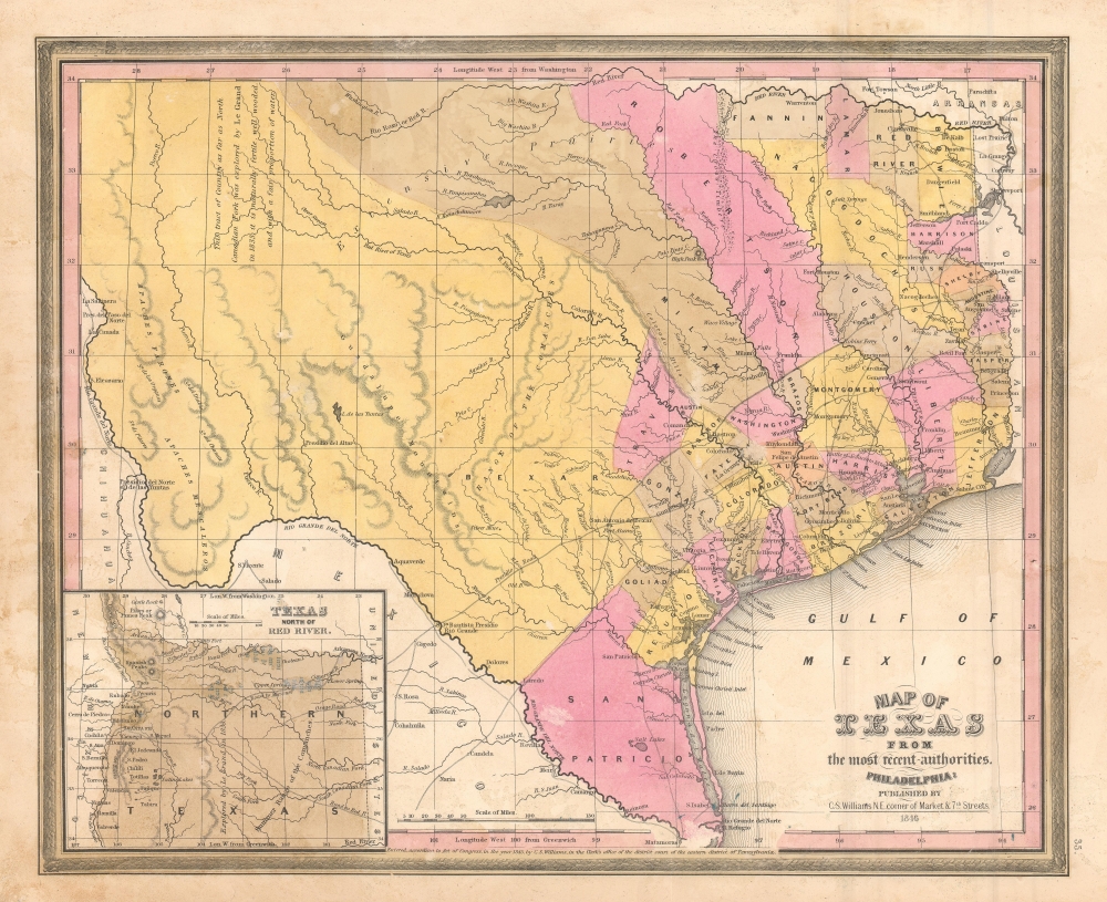
Map of Texas from the most recent authorities.
$950.00
Acquire
- Digital Map Information
- Suitable for large format printing
- DPI: 600
- File Size: 12.43 MB
- File Type: ZIP / TIFF
- ICC color profile embedded
- Delivered instantly via download link
A rare 1845 / 1846 example of the C. S. Williams / J. H. Young / S. A. Mitchell map of Texas, published in the final days of the Republic of Texas just as Texas was preparing to join the United States. Coverage includes Texas at its fullest extent, reaching from Santa Fe and the Rio Grande del Norte to the Sabin River and extending as far north as the Arkansas River (plus a stovepipe encompassing the Green Mountains not fully illustrated). Northwestern Texas is incorporated via an inset in the lower left. (more details)
Eruption of a new island in the Santorini Caldera.
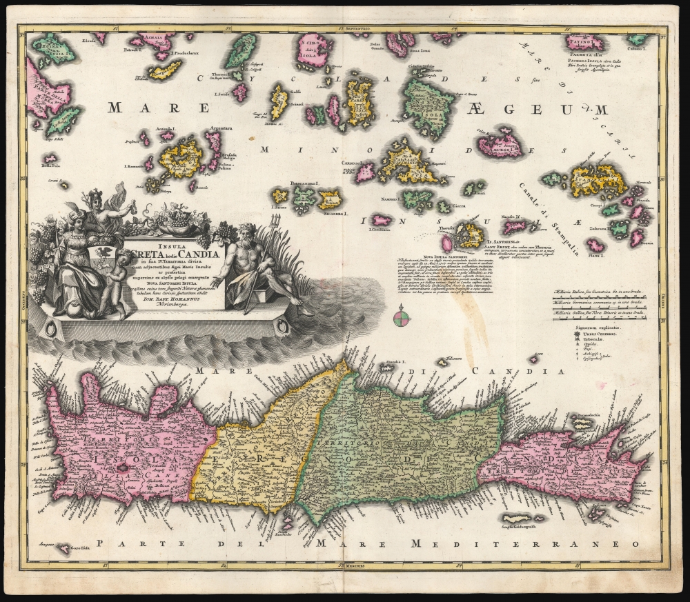
Insula Creta hodie Candia in sua IV Territoria divisa.
$750.00
Acquire
- Digital Map Information
- Suitable for large format printing
- DPI: 600
- File Size: 60.1 MB
- File Type: ZIP / TIFF
- ICC color profile embedded
- Delivered instantly via download link
This is a dramatic 1710 Homann map of Crete and the Greek Islands, in a bold original color example. In terms of the island's topography, it is largely based on the maps of Sanson from the prior century, but this older cartography frames fresh and astonishing information: the emergence of a new island, as part of the Santorini Archipelago. (more details)