
NEW ACQUISITIONS
The Jura Mountains mapped during the first geometrically accurate survey of Switzerland.
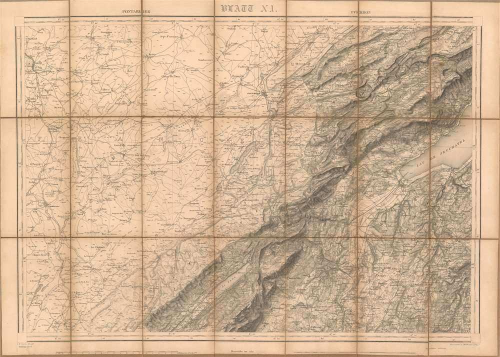
[Blatt XI. Pontarlier - Yverdon].
$250.00
Acquire
- Digital Map Information
- Suitable for large format printing
- File Size: 62.3 MB
- File Type: ZIP / TIFF
- ICC color profile embedded
- Delivered instantly via download link
This is a superbly detailed 1849 Dufour map of part of Bourgogne-Franche-Comté in France, and the western Swiss cantons of Vaud and Neuchatel, focusing on the Jura mountains. It is the eleventh sheet of the first geometrically accurate map of the Swiss Confederation; this example is an 1893 revision of the map. It embraces the southeast corner of France's Bourgogne-Franche-Comté region, from Salins-les-Bains and Châtelneuf to the Swiss border, and reaching the Lac de Neuchatel and Denezy in Switzerland. (more details)
Details Saint Kitts, home to the largest fortress ever built in the Caribbean.
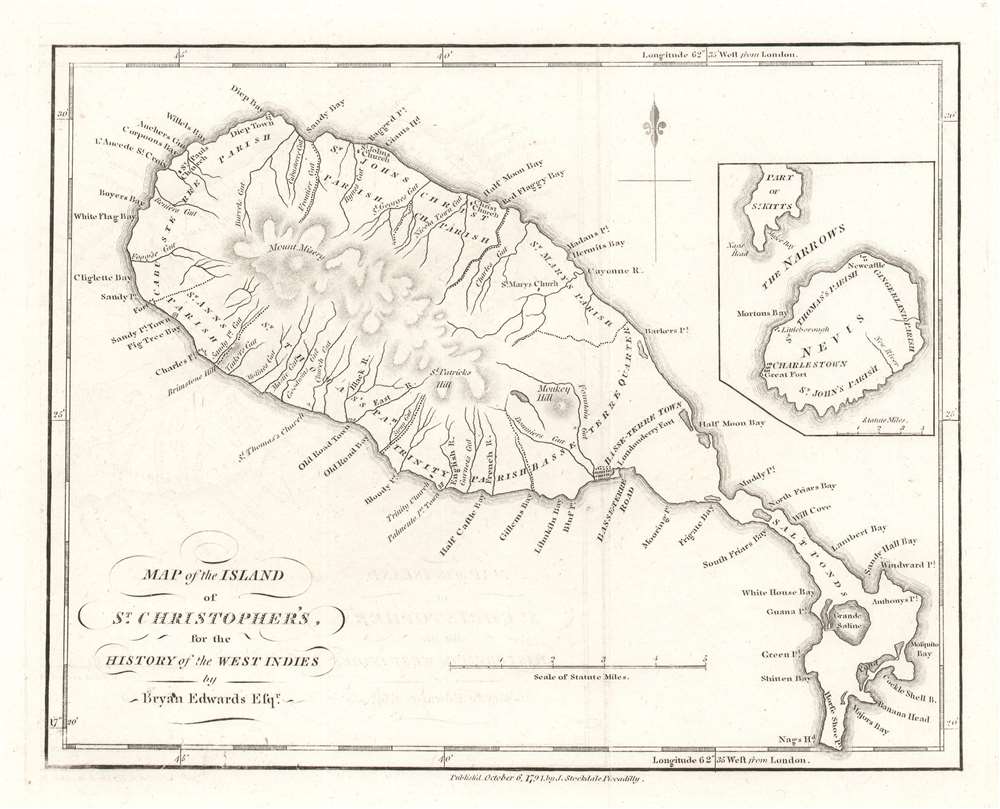
Map of the Island of St. Christopher's.
$250.00
Acquire
- Digital Map Information
- Suitable for large format printing
- DPI: 600
- File Size: 2.8 MB
- File Type: ZIP / TIFF
- ICC color profile embedded
- Delivered instantly via download link
This is a 1794 Bryan Edwards and John Stockdale map of Saint Kitts or St. Christopher. An island in the Leeward Islands, the modern-day nation of the Federation of 'Saint Kitts and Nevis 'consists of Saint Kitts and the island of Nevis, which are separated by a two-mile-wide channel called 'The Narrows.' Here, Nevis is illustrated in an inset on the upper right. Basseterre on Saint Kitts and Charlestown on Nevis are both labeled, along with a handful of other settlements and three churches. Parishes on both islands are also identified. Mountains, rivers, and bays are named as well. Today, Saint Kitts is known as a tourist destination, although it has yet to reach the popularity of other Caribbean islands. (more details)
Highlights Wyoming's wildlife, including the unforgettable jackalope!
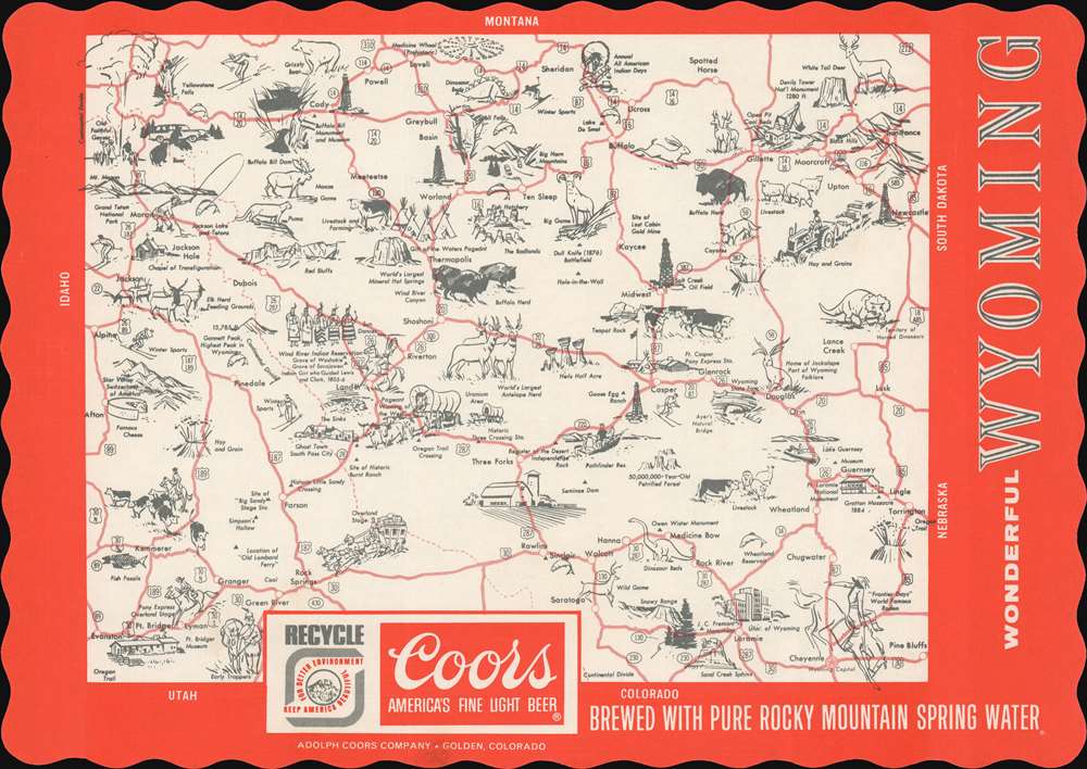
Wonderful Wyoming.
$150.00
Acquire
This is a c. 1955 Coors Brewing Company pictorial placemat map of Wyoming. Pictorial vignettes promote Wyoming's natural wonders, including Old Faithful, Yellowstone Falls, and Devil's Tower. Wyoming's world-famous wildlife also populatesa the map, including bison, whitetail deer, bighorn sheep, pronghorn antelope, moose, mountain lions, elk, and the unforgettable jackalope. References to Wyoming's frontier history bring the past alive with stagecoaches, covered wagons, ghost towns, cowboys, Native Americans, and teepees dotted throughout. (more details)
English language tourist map of Yokohama!
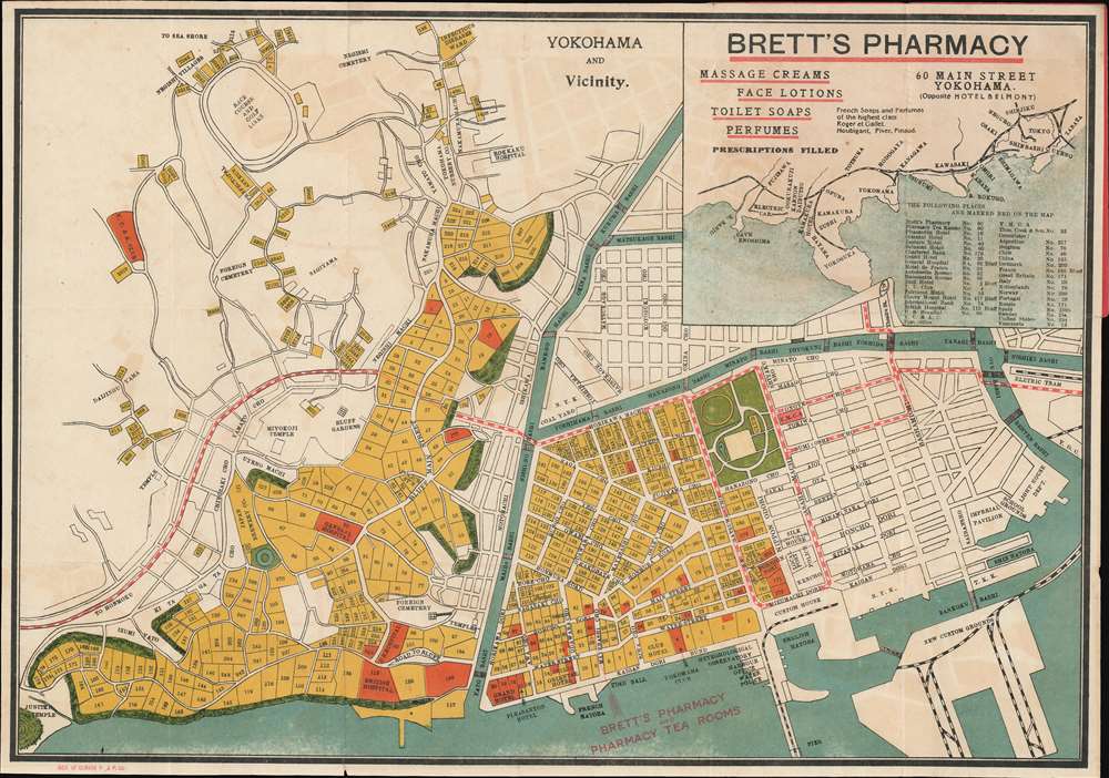
Yokohama and Vicinity.
$900.00
Acquire
- Digital Map Information
- Suitable for large format printing
- File Size: 12.3 MB
- File Type: ZIP / TIFF
- ICC color profile embedded
- Delivered instantly via download link
This is a c. 1920 Brett's Pharmacy city plan or map of Yokohama, Japan. The map depicts Yokohama from Mississippi Bay to the harbor and from Negishi Villages to the bay. Identified locations include the racecourse, the infectious diseases ward, and several cemeteries. Several blocks are shaded red - indicating places of interest to the foreigner, among them hospitals, civic buildings, boarding houses, and over a dozen consulates. An arrow highlights the location of Brett's Pharmacy in downtown Yokohama, in one of the red city blocks. An inset of the Yokohama region tracing its railway network appears in the upper right. (more details)
Florida's Island Paradise!
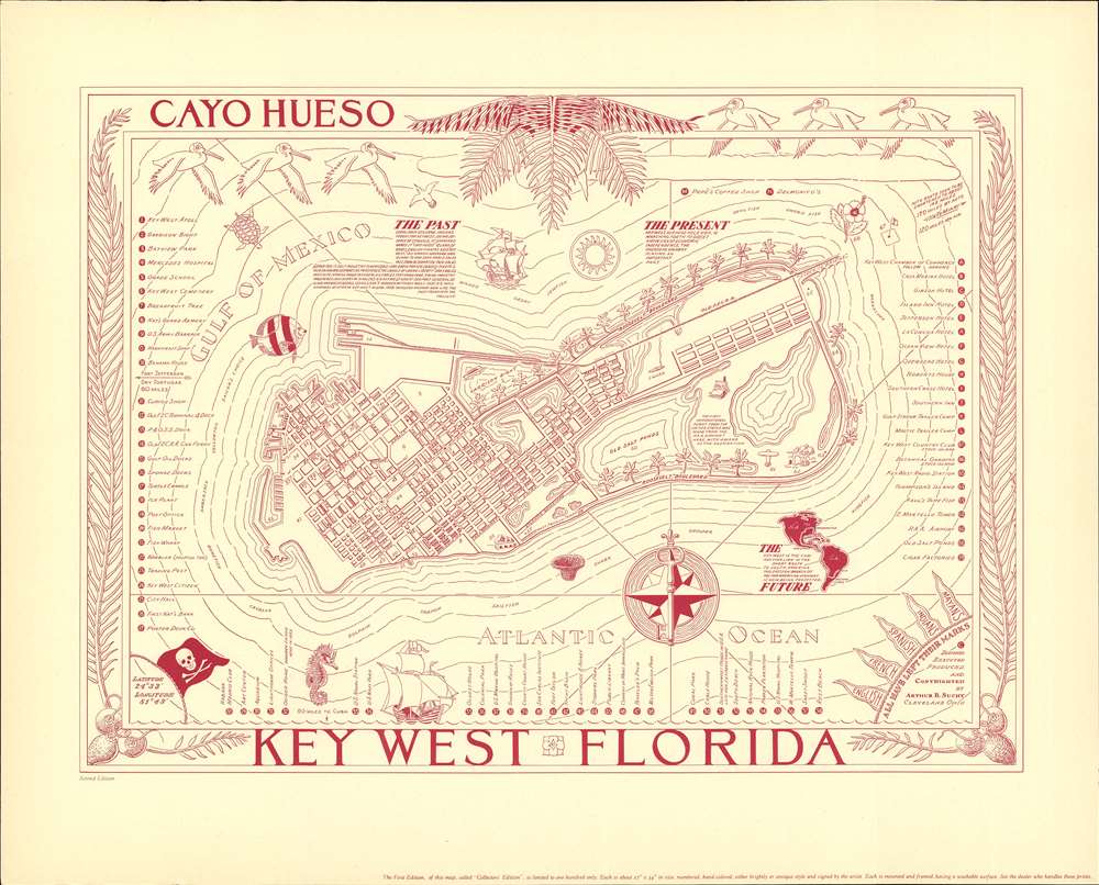
Cayo Huesco / Key West Florida.
$500.00
Acquire
- Digital Map Information
- Suitable for large format printing
- File Size: 16.47 MB
- File Type: ZIP / TIFF
- ICC color profile embedded
- Delivered instantly via download link
A fine c. 1940 pictorial map of Key West, Florida, issued by Arthur B. Suchy. The map covers all of Key West. City blocks are illustrated and important hotels, parks, trees, tourist attractions, and civic buildings, in all more than 59 locations, are noted. The map is surrounded by an elaborate border featuring decorative palm fronds and sea birds. Marine life and pirate ships populate the seas. (more details)
A topographic map highlighting Yellowstone National Park's unique topography.
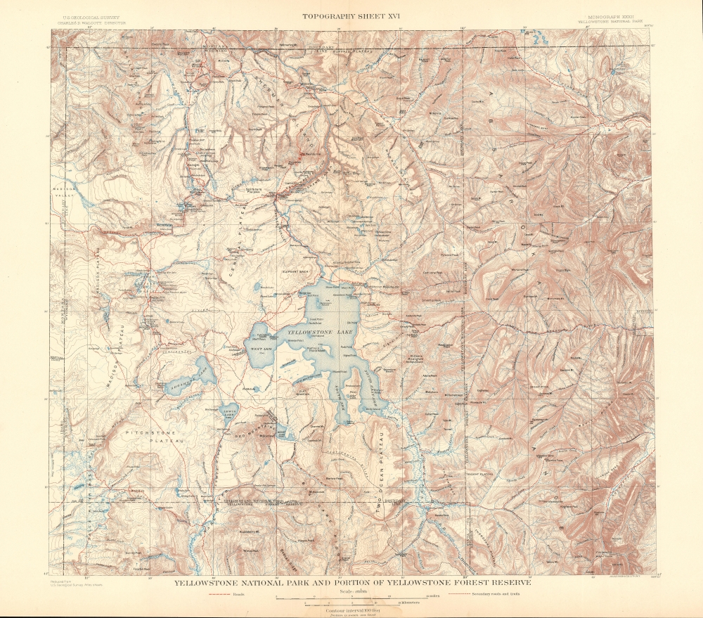
Yellowstone National Park and Portion of Yellowstone Forest Reserve. Topography Sheet XVI.
$250.00
Acquire
- Digital Map Information
- Suitable for large format printing
- File Size: 31.43 MB
- File Type: ZIP / TIFF
- ICC color profile embedded
- Delivered instantly via download link
This is a 1904 Arnold Hague and U.S. Geological Survey topographic map of Yellowstone National Park, Wyoming. Centered on the Yellowstone Lake, the largest mountain lake in the United States, the map depicts the entirety of Yellowstone National Park, as well as part of the Yellowstone Forest Reserve. It is part of Hague's study of the region's unique geology and related geothermal activity. Contour lines highlight the region's unique topography with elevation noted every 500 feet. A dashed line representing the Continental Divide winds its way through the park, while the red dashed lines mark roads. Creeks, rivers, and lakes are labeled, as are plateaus, gulches, and mountain peaks. (more details)
Seventy-six armorial crests: France, Great Britain, Prussia, and the United States.
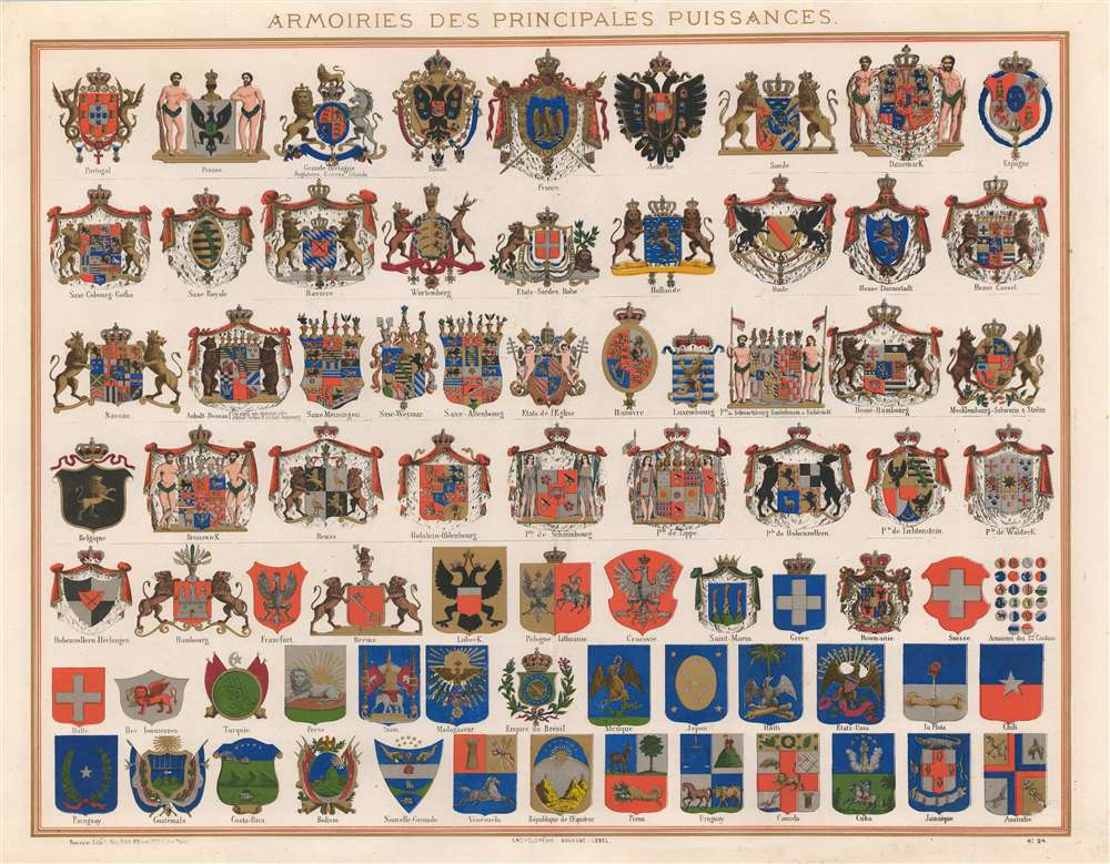
Armoiries des Principales Puissances.
$500.00
Acquire
- Digital Map Information
- Suitable for large format printing
- File Size: 29.45 MB
- File Type: ZIP / TIFF
- ICC color profile embedded
- Delivered instantly via download link
This is a c. 1860 Bouasse-Lebel chromolithograph chart of armorial crests of the era's major world powers. The chart details seventy-six different crests. The world powers of the 19th century fill the first row: Great Britain, France, Prussia, Austria, and Russia, along with five others. Many of the rest hail from German duchies and principalities, but countries such as Holland, Luxembourg, and Belgium also appear, as do the Papal States. Mainly concerned with Europe, only a handful of non-European countries are represented. These include the United States, Persia, Bolivia, Costa Rica, Japan, and Mexico. This chart is also notably an early example of commercial chromolithography. (more details)
Celebrates the Red Army's victories in the summer and fall of 1943 and hopes for more during the winter months.
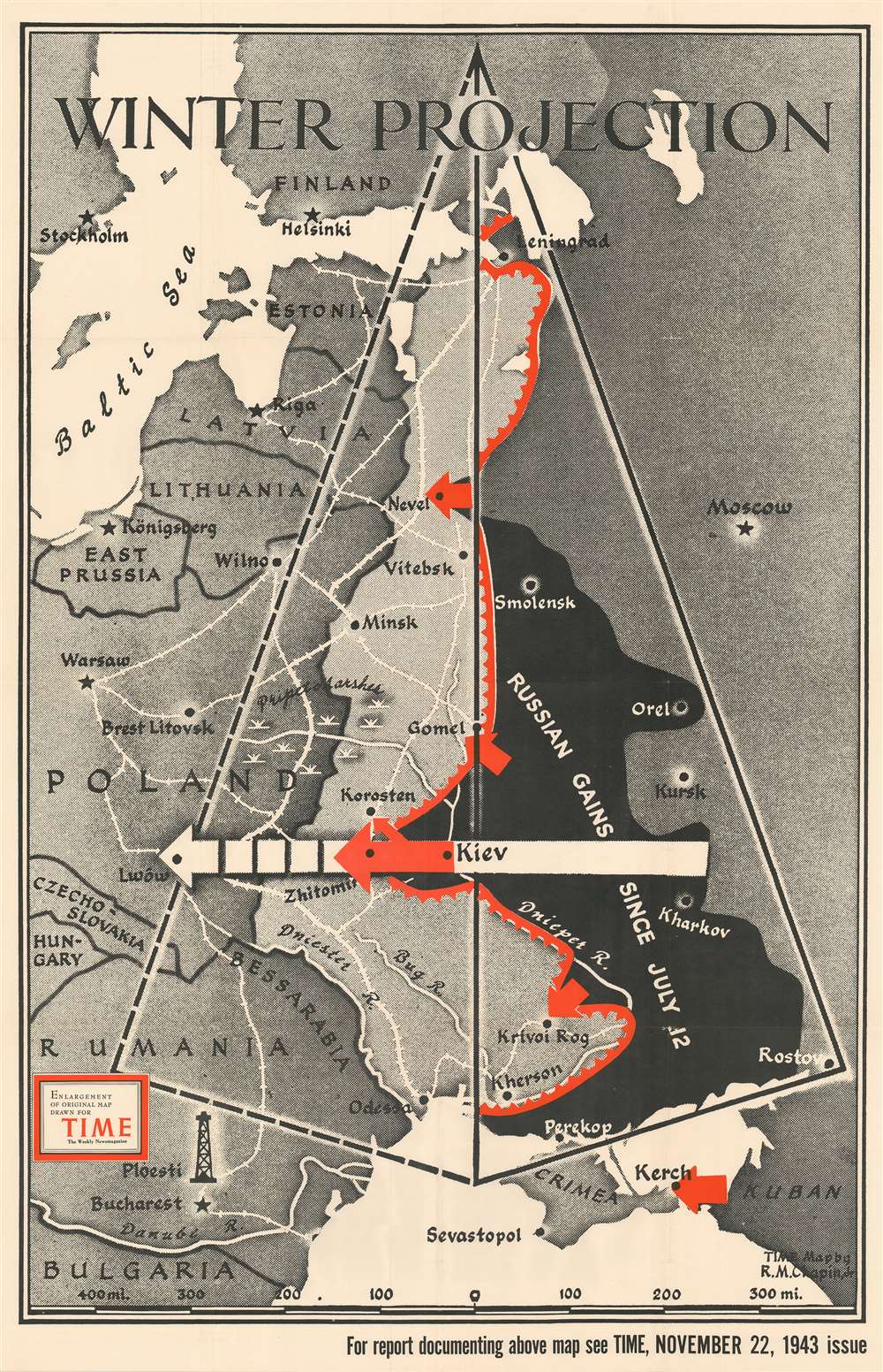
Winter Projection.
$400.00
Acquire
- Digital Map Information
- Suitable for large format printing
- File Size: 83.6 MB
- File Type: ZIP / TIFF
- ICC color profile embedded
- Delivered instantly via download link
This separately-issued large-format 1943 Robert M. Chapin map of Eastern Europe during World War II celebrates Russian victories on the Eastern Front in the late summer and fall of that year. When this map was published, the Soviets were on the cusp of pushing the Wehrmacht out of Russia's pre-1939 borders. Territory shaded black highlights the ground regained by the Russians, while red arrows bring the viewer's focus to areas of renewed offensives. Chapin employs geometry to 'project' just how far the Red Army could push the Germans in the coming months as the hearty Russian army choose to ignore the onset of winter and keep attacking the retreating Germans. (more details)
Highlights Generals Stillwell and Mountbatten's 1944 assaults on Japanese-occupied Burma.
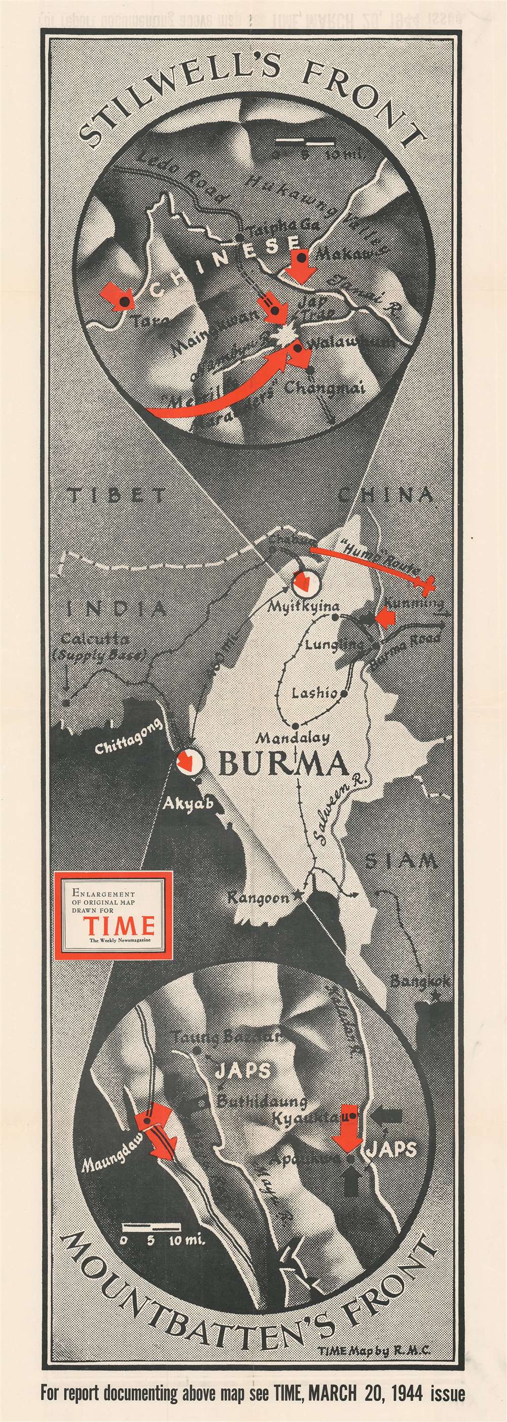
Stilwell's Front. Mountbatten's Front.
$400.00
Acquire
- Digital Map Information
- Suitable for large format printing
- File Size: 45.71 MB
- File Type: ZIP / TIFF
- ICC color profile embedded
- Delivered instantly via download link
Created during the beginning of the 1944 World War II Allied offensive to liberate Burma from the Japanese, this is a 1944 Robert M. Chapin, Jr. map of Burma. Two circular insets detail both battlefronts, commanded by American General Joseph Stilwell and British Admiral Louis Mountbatten. Red arrows highlight the Allied advance in both sectors. Stilwell's forces (depicted in the top inset) marched through northern Burma and reopened the critical Ledo Road, an overland supply route to Chiang Kai-shek's nationalist Chinese forces. Mountbatten's army (bottom circular inset) attacked Japanese forces farther south along the Indian Ocean. (more details)
The end of extraterritoriality.
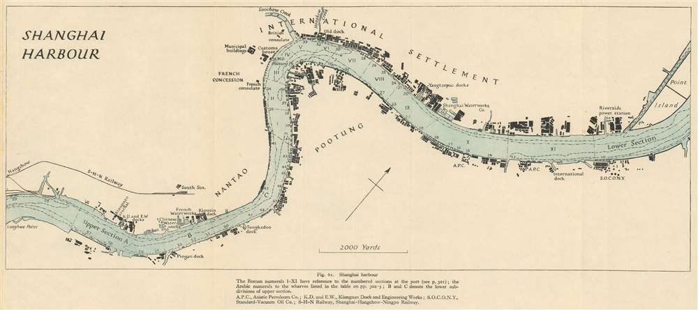
Shanghai Harbour.
$300.00
Acquire
- Digital Map Information
- Suitable for large format printing
- File Size: 6.46 MB
- File Type: ZIP / TIFF
- ICC color profile embedded
- Delivered instantly via download link
This is a 1945 Royal Naval Intelligence Division map of Shanghai Harbor and the Huangpu (Whangpoo) River in Shanghai, China. The map was issued to as part of a British intelligence report to commissioned assess the future of Chinese-British relations. With the concessions retroceded to China and an violent civil war raging through the countryside, the future of Shanghai as an international hub of commerce was very much in question. Centered on the Bund, International Settlement, and French Concession, the map depicts the Huangpu from Lunghwa Point to Point Island. Numerous buildings appear along both riverbanks, but only a handful of these are identified. The British consulate, French Consulate, and Customs House appear, as do several different docks, the Shanghai Waterworks Company, and the Riverside power station. The numbers along both banks reference specific wharves. (more details)
Predicted months of brutal fighting in Romania and Bulgaria in the spring and summer of 1944.
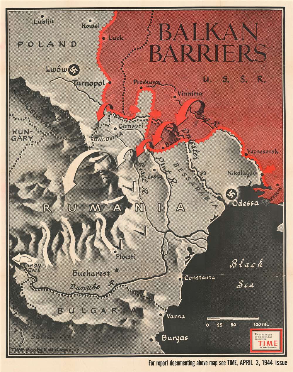
Balkan Barriers.
$300.00
Acquire
- Digital Map Information
- Suitable for large format printing
- File Size: 96.95 MB
- File Type: ZIP / TIFF
- ICC color profile embedded
- Delivered instantly via download link
Published during the 1944 World War II Red Army offensives on the Eastern Front, this 1944 Robert M. Chapin Jr. map of Romania, Bulgaria, and Ukraine emphasizes Soviet gains in the region. Red arrows, indicating Soviet troops, push south forcing white arrows, representing Axis forces, to retreat. Major cities, including Odessa, Lwów (now Lviv, Ukraine), Bucharest, and Sofia, stand in the Red Army's path. This map was produced to illustrate an article lauding the Red Army's impressive drive across Ukraine. (more details)
The geological wonder of Yellowstone.
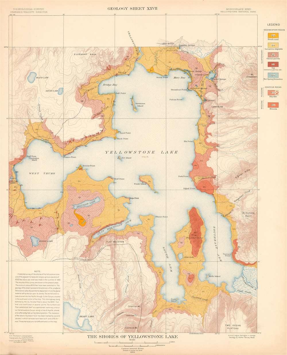
The Shores of Yellowstone Lake. Geology Sheet XXVII.
$250.00
Acquire
- Digital Map Information
- Suitable for large format printing
- File Size: 31.23 MB
- File Type: ZIP / TIFF
- ICC color profile embedded
- Delivered instantly via download link
A fine example of Arnold Hague's 1904 geological survey map of the shores of Yellowstone Lake in Yellowstone National Park, Wyoming. Centered on the Yellowstone Lake, the largest mountain lake in the United States, the map details the lake, its shores, and adjacent terraces and slopes. The map is part of Hague's study of the region's unique geology and related geothermal activity. A legend situated on the upper right identifies the various geological formations and matches them with the corresponding colors used here. A note in the lower left cites an 1889 geological survey of Yellowstone Lake. It also provides a short history of Yellowstone Lake's formation. (more details)
Mimics the 'Parable of the Good Samaritan' to blame the U.S. Treasury for the Panic of 1893.
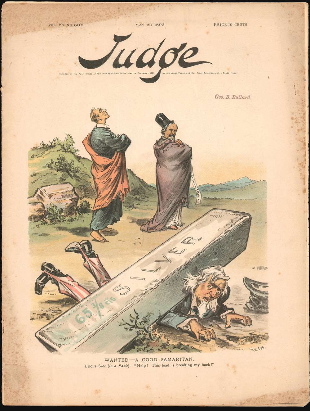
Wanted - A Good Samaritan.
$250.00
Acquire
- Digital Map Information
- Suitable for large format printing
- File Size: 6.89 MB
- File Type: ZIP / TIFF
- ICC color profile embedded
- Delivered instantly via download link
Inspired by the biblical 'Parable of the Good Samaritan,' this 1893 Victor Gillam political cartoon eviscerates the U.S. Treasury for ignoring what many believed to be the cause then-rampaging Panic of 1893: Free Silver. (more details)
The creation of international highways!
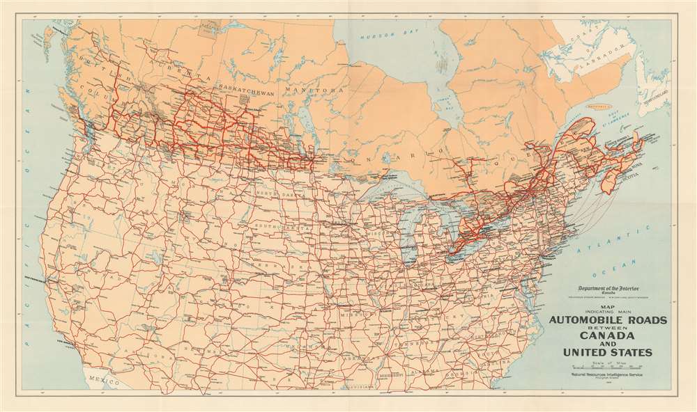
Map Indicating Main Automobile Roads Between Canada and United States.
$125.00
Acquire
- Digital Map Information
- Suitable for large format printing
- File Size: 89.1 MB
- File Type: ZIP / TIFF
- ICC color profile embedded
- Delivered instantly via download link
Published in 1930, this Natural Resources Intelligence Service road map of Canada and the United States highlights the connections between the two countries. Thick red lines trace major and minor highways in both Canada and the United States. Cities and towns are labeled throughout. Gray dotted areas denote national parks in both countries as well, including Yellowstone, the Grand Canyon, Yosemite, Jasper, and Algonquin. (more details)
Southern Germany prior to the wars of unification.

Germany No. 3.
$100.00
Acquire
- Digital Map Information
- Suitable for large format printing
- File Size: 16.4 MB
- File Type: ZIP / TIFF
- ICC color profile embedded
- Delivered instantly via download link
A beautiful 1855 first edition example of Colton's map of southern Germany. This map covers the 19th century German provinces of Bavaria, Wurttemberg, Baden and Pfalz, as well as numerous smaller regions. Divided and color coded according to regional divisions. Throughout, Colton identifies various cities, towns, forts, rivers and assortment of additional topographical details. Surrounded by Colton's typical spiral motif border. Dated and copyrighted to J. H. Colton, 1855. (more details)
An Idyllic Glimpse of the Newly Completed Central Park.
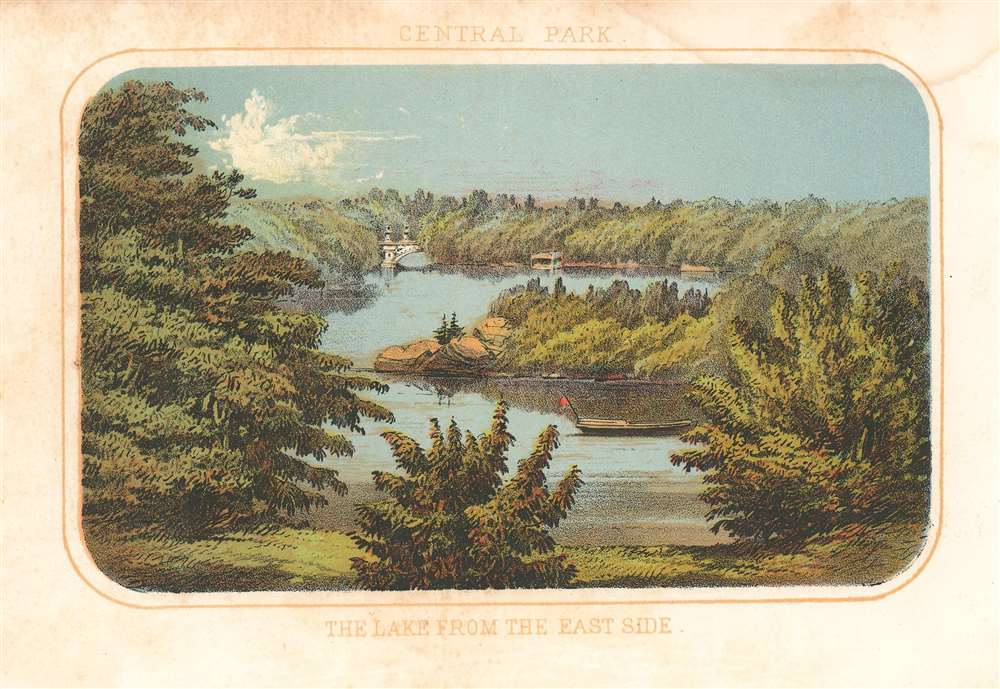
Central Park. The Lake from the East Side.
$100.00
Acquire
- Digital Map Information
- Suitable for large format printing
- File Size: 2.32 MB
- File Type: ZIP / TIFF
- ICC color profile embedded
- Delivered instantly via download link
This is a beautiful 1868 view of the Lake in Central Park as seen from the east, by Shannon and Rogers. The view features a boat in the water with the Bow Bridge visible in the distance. The Lake, Central Park’s largest naturalistic body of water, was created from a former swamp. Vaux and Olmstead envisioned this 20 acre lake would be used for boating in the summer and ice-skating in the winter. (more details)
Combines beautiful vignette views and an alphabetic street index.
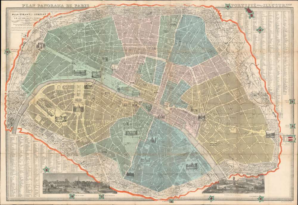
Plan garanti complet ou le guide dans Paris.
$500.00
Acquire
- Digital Map Information
- Suitable for large format printing
- File Size: 112.4 MB
- File Type: ZIP / TIFF
- ICC color profile embedded
- Delivered instantly via download link
This 1855 Lallemand city plan or map of Paris, France combines charming pictorial views and the functionality of a city plan to create an incredible artifact. The Arc de Triomphe, the Place de la Concorde, the Louvre, and Notre Dame are among the world-famous sites illustrated in profile. The Champ de Mars, which would host the Eiffel Tower thirty-four years later, is filled with trees and Parisians gallivanting on walks or horseback. The city's gardens are appear in detail, presenting the layout of the Jardin des Tuileries, the Jardin du Luxembourg, and the Jardin des Plantes. Paris's twelve arrondissements are shaded to allow for easy differentiation, in stark contrast to the uncolored suburbs circling the city. Two lovely views are situated along the bottom of the map. The first illustrates from the Tuileries Gardens toward the Arc de Triomphe and the second overlooks the Seine River from Pont Neuf. (more details)
Published near the end of the Wars of Italian Unification.
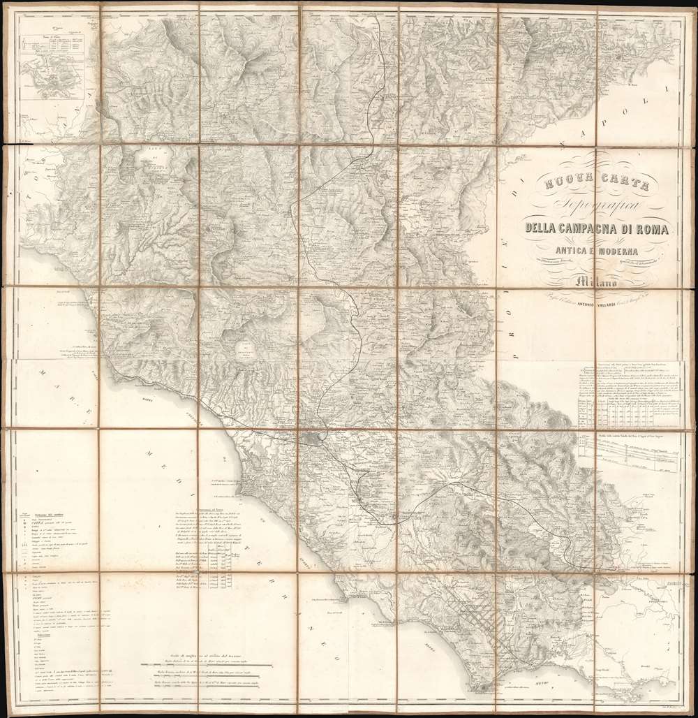
Nuova Carta Topografica della Campagna di Roma Antica e Moderna.
$450.00
Acquire
- Digital Map Information
- Suitable for large format printing
- File Size: 141.91 MB
- File Type: ZIP / TIFF
- ICC color profile embedded
- Delivered instantly via download link
Published c. 1870, this Antonio Vallardi and Giovanni Battista Bordiga map of Lazio and Umbria details the vestiges of independent Italian city-states during Italian unification. Led by Giuseppe Maria Garibaldi (1807 -1882), wars had raged across Italy that slowly brought the peninsula's various states together under one crown. Victor Emmanuel II of Sardinia became the sovereign of the Kingdom of Italy in 1861. But the last independent state, held by the Pope, stubbornly held out until 1870, when it fell flowing a siege. (more details)
Recounts the capture of four important islands in the Mediterranean.
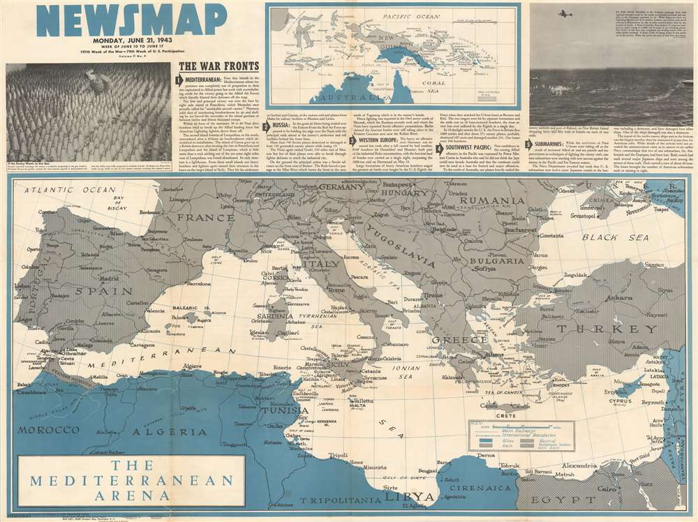
NEWSMAP Monday, June 21, 1943. Week of June 10 to June 17.
$300.00
Acquire
- Digital Map Information
- Suitable for large format printing
- File Size: 109.98 MB
- File Type: ZIP / TIFF
- ICC color profile embedded
- Delivered instantly via download link
This 1943 Army Orientation Course Newsmap map of the Mediterranean, Europe, and North Africa details Allied operations in the middle of June. Short paragraphs describe five significant events from the past week. The most important, particularly with the benefit of hindsight, garners top recognition: The Allied capture of four small islands in the Mediterranean. Published only a few weeks before the Allied invasion of Sicily, codenamed Operation Husky, the eviction of Italian forces from these islands removed one of the last hurdles to the forthcoming landings. From Sicily, the Allies would jump to mainland Italy, the first Western Allied assault on Axis-occupied Europe. Other actions recounted include brutal fighting on the Eastern Front between the Nazis and the Red Army, British and American aerial bombardments of targets in Germany, and an announcement that U.S. submarines sunk another dozen Japanese ships the previous week. (more details)
Comparing two groundbreaking maps of the Amazon on one sheet.
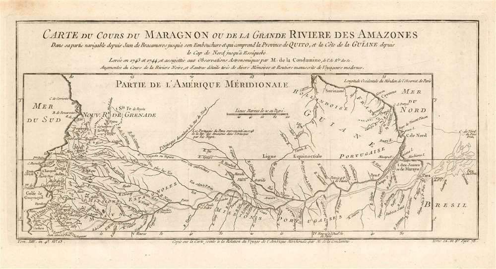
Carte du Cours du Maragnon ou de la Grande Riviere des Amazones Dans sa partie navigable depuis Jaen de Bracamoros jusqu'a son Embouchure et qui comprend la Province de Quito, et la Côte de la Guïane depuis le Cap de Nord jusqu'à Esséquebè.
$300.00
Acquire
- Digital Map Information
- Suitable for large format printing
- DPI: 600
- File Size: 5.94 MB
- File Type: ZIP / TIFF
- ICC color profile embedded
- Delivered instantly via download link
This is a fascinating 1780 map of the Amazon river basin, spanning the breadth of the South American continent, embracing Peru, Ecuador, Colombia, Venezuela, Brazil, Guyana, Suriname, and French Guiana. It displays the mapping of the great river produced in 1743 by the French Geodesic Mission under Charles Marie de La Condamine, which still represented the state of the art. This exhaustive mapping of the Amazon and its tributaries is shown overlaying another map of the Amazon, this one executed in 1707 by the Jesuit Father Samuel Fritz. His mapping of the Amazon had been the first accurate one to be produced, and so to have it compare so poorly to Condamine's was to present a flourish on behalf of modern, French scientific geography. (more details)