
Italy's Craggy Northeast.
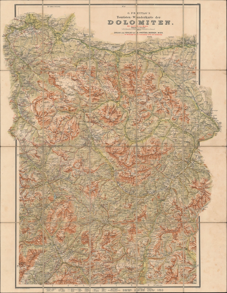
G. Freytag's Touristen-Wanderkarte der Dolomiten mit markierten Wegen. Blatt 2.
sold
- Digital Map Information
- Suitable for large format printing
- File Size: 45.5 MB
- File Type: ZIP / TIFF
- ICC color profile embedded
- Delivered instantly via download link
An impressive c. 1910 folding topographic map of the eastern portion of the Dolomites, then a part of Austria. It was produced by Freytag und Berndt in Vienna, the premier publisher of such topographical maps in Austria at the time. (more details)
The Best Way to Bozen (that is, Bolzano).
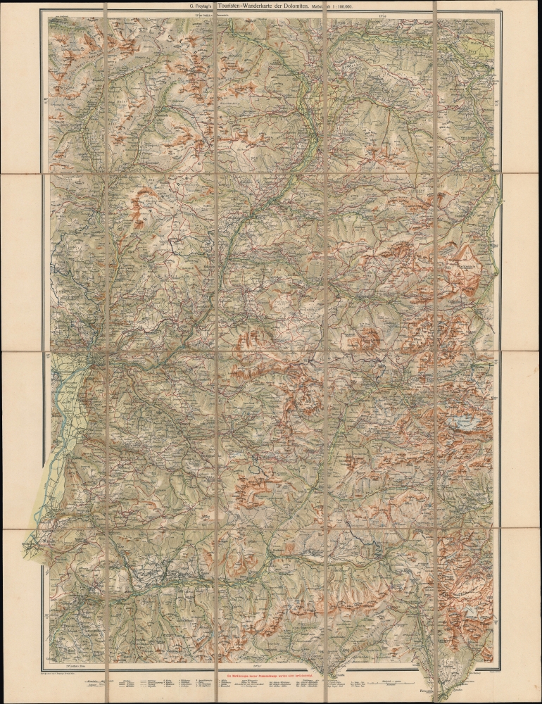
G. Freytag's Touristen-Wanderkarte der Dolomiten. Blatt 1.
sold
- Digital Map Information
- Suitable for large format printing
- File Size: 48.95 MB
- File Type: ZIP / TIFF
- ICC color profile embedded
- Delivered instantly via download link
A detailed c. 1910 folding topographical map of the western portion of the Dolomites, including Bolzano (Bozen), then a part of Austria. It was produced by Freytag und Berndt in Vienna, the premier publisher of such topographical maps in Austria at the time. (more details)
Explore coastal Connecticut and Rhode Island!

74 Miles on the Ocean Scenic Highway.
sold
- Digital Map Information
- Suitable for large format printing
- Full resolution TIFF file
- ICC color profile embedded
- Delivered instantly via download link
This is a c. 1937 Mono Press Company pictorial road map of coastal Connecticut and Rhode Island. The map provides tourists with information about places to stay, where to eat, and sites to see during their drive along the New England coast. (more details)
Includes both Lake Champlain and Lake George!

The Adirondack Picture Map.
sold
- Digital Map Information
- Suitable for large format printing
- Full resolution TIFF file
- ICC color profile embedded
- Delivered instantly via download link
A charming 1921 Arthur S. Knight pictorial map of the Adirondack region of New York, including both Lake Champlain and Lake George. (more details)
Second Mission mapping of the Sichuan Missions.
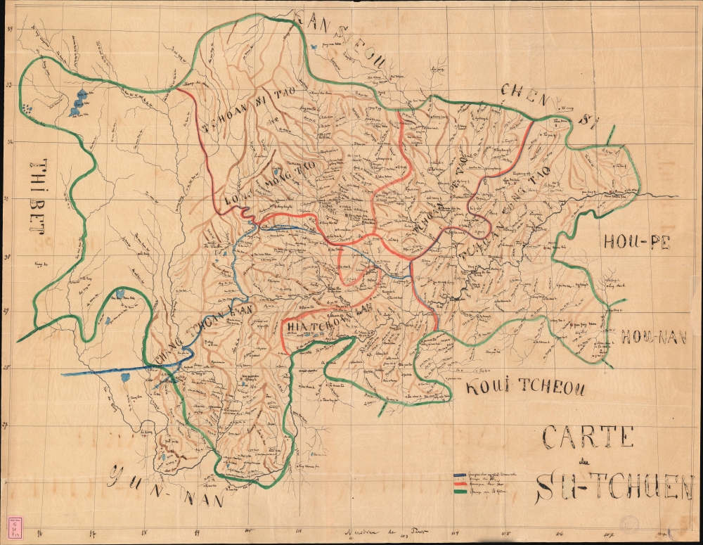
Carte du Su-Tchuen.
sold
- Digital Map Information
- Suitable for large format printing
- File Size: 1359.23 MB
- File Type: ZIP / TIFF
- ICC color profile embedded
- Delivered instantly via download link
An exceptional large-scale c. 1870 manuscript map of Sichuan Province, China, illustrating French Catholic missionary activity. This is likely the master map compiled and housed in the vicarial seat of Chongqing by which late 19th-century missionary work in Sichuan was organized. It is by far the most meticulous and detailed map of Sichuan to appear until the final years of the 19th-century. (more details)
First edition Mercator Asia.
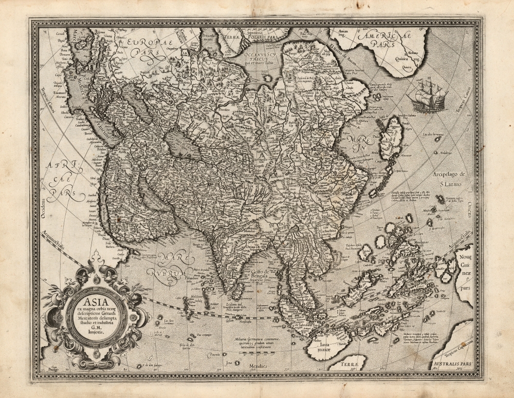
Asia ex magna orbis terre. descriptione Gerardi Mercatoris desumpta studio et industria G. M. Iunioris.
sold
- Digital Map Information
- Suitable for large format printing
- Full resolution TIFF file
- ICC color profile embedded
- Delivered instantly via download link
This is a fine first edition example of Gerard Mercator's 1595 map of Asia, the second map of the continent to appear in an atlas. It presents Asia as it was understood at the beginning of the Dutch effort to extend power into the Spice Islands, and at the dawn of the drive to discover alternative routes to the East Indies that would bypass the Portuguese stranglehold on the Asia trade. This map exhibits a fine early strike, with strong clear lines and bold paper/ink contrast. (more details)
'An important map.' - Wheat
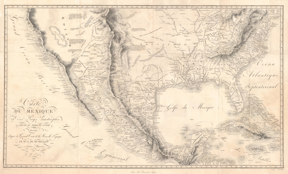
Carte Du Mexique et des Pays Limitrophes Situes Au Nord et a l'est Dressee d'apres la Grande Carte de la Nouvelle Espagne De Mr. A. De Humboldt et d'autres Materiaux par J.B. Poirson.
sold
- Digital Map Information
- Suitable for large format printing
- DPI: 600
- File Size: 70.19 MB
- File Type: ZIP / TIFF
- ICC color profile embedded
- Delivered instantly via download link
A seminal 1811 / 1827 map of Mexico and the American West by Alexander von Humboldt. Humboldt, who during his lifetime was considered the 'world's greatest living man,' composed this map during his 1803 sojourn in Mexico. Though often playing second fiddle to Humboldt's more regional Carte Generale du Royaume de la Nouvelle Espagne, published in the same volume, this map is a cartographic achievement in its own right and, as Wheat notes 'an Important Map.' (more details)
One of the most beautiful maps of the Holy Land from the 19th century.

Seaton's Map of Palestine, or the Holy Land, with part of Egypt.
sold
- Digital Map Information
- Suitable for large format printing
- DPI: 600
- File Size: 67.38 MB
- File Type: ZIP / TIFF
- ICC color profile embedded
- Delivered instantly via download link
This is a first edition example of Robert Seaton's 1835 map of Palestine or the Holy Land. It is one of the most decorative maps of the Israel / Palestine / Syria region to appear in the 19th century. (more details)
United States as the Tree of Liberty.

Tree of Liberty.
sold
- Digital Map Information
- Suitable for large format printing
- DPI: 600
- File Size: 79.42 MB
- File Type: ZIP / TIFF
- ICC color profile embedded
- Delivered instantly via download link
This is an 1846 Humphrey Phelps political broadside of the United States as the Tree of Liberty. Thirty-six medallions adorn the branches: 34 represent states and two, at top center, depict the Great Seal of the United States. (more details)
Kenya's coastal gem - tourism and oil.

A Pictorial Map of Mombasa Island.
sold
An exceptional discovery, this is a 1982 Esso pictorial map of Mombasa Island, Kenya. This map was issued shortly after Esso took controlling stock in the Mombasa oil refineries - then among the most important oil refineries in Africa. The refineries fell under Kenyan government control in the 2000s and have been inoperative since. (more details)
Military and economic power on the eve of World War II.

最新世界大地圖 / [Latest World Map].
sold
- Digital Map Information
- Suitable for large format printing
- File Size: 77.29 MB
- File Type: ZIP / TIFF
- ICC color profile embedded
- Delivered instantly via download link
This is a 1933 world map published by the Osaka Asahi Shimbun in the early phase of the Second Sino-Japanese War (1937 - 1845), an antecedent to and later a theater of World War II (1939 - 1945). The global tensions that would define World War II are evident here, particularly in the inset map at bottom-left showing the relative military strength of major powers. (more details)
Includes the Republic of Texas.
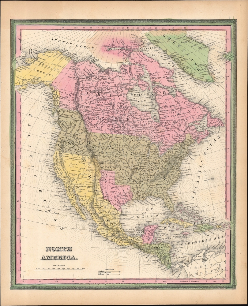
North America.
sold
- Digital Map Information
- Suitable for large format printing
- Full resolution TIFF file
- ICC color profile embedded
- Delivered instantly via download link
A beautiful example of Samuel Augustus Mitchell's 1846 hand-colored map of North America. Among other features, it is notable for displaying Texas in its final year as an independent republic and the northern boundary of the Oregon Territory at 54º40 parallel north. (more details)
The Great Metropolis.
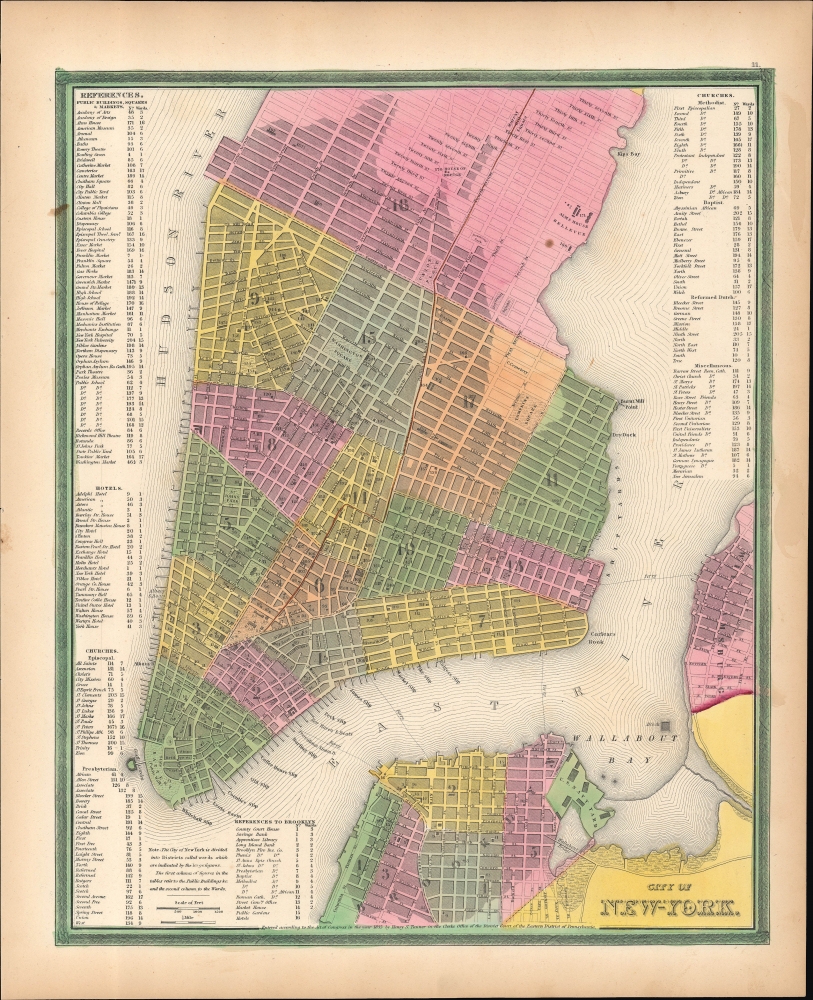
City of New York.
sold
- Digital Map Information
- Suitable for large format printing
- Full resolution TIFF file
- ICC color profile embedded
- Delivered instantly via download link
This is Samuel Augustus Mitchell's vibrantly hand-colored 1846 map of New York City. It reflects the city in a period of rapid development, defined by immigration and industrialization. (more details)
Railroads to Magnificent Mountains.
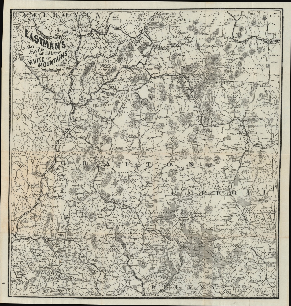
Eastman's New Map of the White Mountains.
sold
- Digital Map Information
- Suitable for large format printing
- File Size: 17.99 MB
- File Type: ZIP / TIFF
- ICC color profile embedded
- Delivered instantly via download link
A fascinating c. 1885 Edison Eastman pocket map of the White Mountains, New Hampshire. Among other features, it represents the spread of passenger railroads throughout the region, leading to posh hotels designed above all as rural getaways for well-heeled New Yorkers and Bostonians. (more details)
The Height of 19th Century Hydrography.
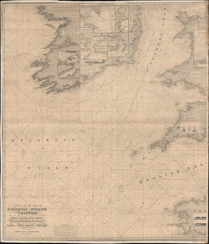
A Chart of the Approaches to the St. George's and English Channels showing the navigation from 47°43 N. Lat. and 11°28 W. Long. to Bristol, Liverpool, and Dublin, Falmouth and Plymouth; Part of the North Coast of France, and the South and West Coasts of Ireland to Cork and Galway.
$500.00
Acquire
- Digital Map Information
- Suitable for large format printing
- File Size: 78.18 MB
- File Type: ZIP / TIFF
- ICC color profile embedded
- Delivered instantly via download link
An unrecorded blueback nautical chart / map of St. George's Channel and the western portion of the English Channel, published by Norie and Wilson in 1894. (more details)
Early Rail Links in Louisiana.
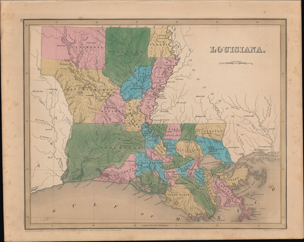
Louisiana.
sold
- Digital Map Information
- Suitable for large format printing
- Full resolution TIFF file
- ICC color profile embedded
- Delivered instantly via download link
This is Thomas Bradford's 1838 hand-colored map of Louisiana, which appeared in his Universal Illustrated Atlas. (more details)
The Gem State.
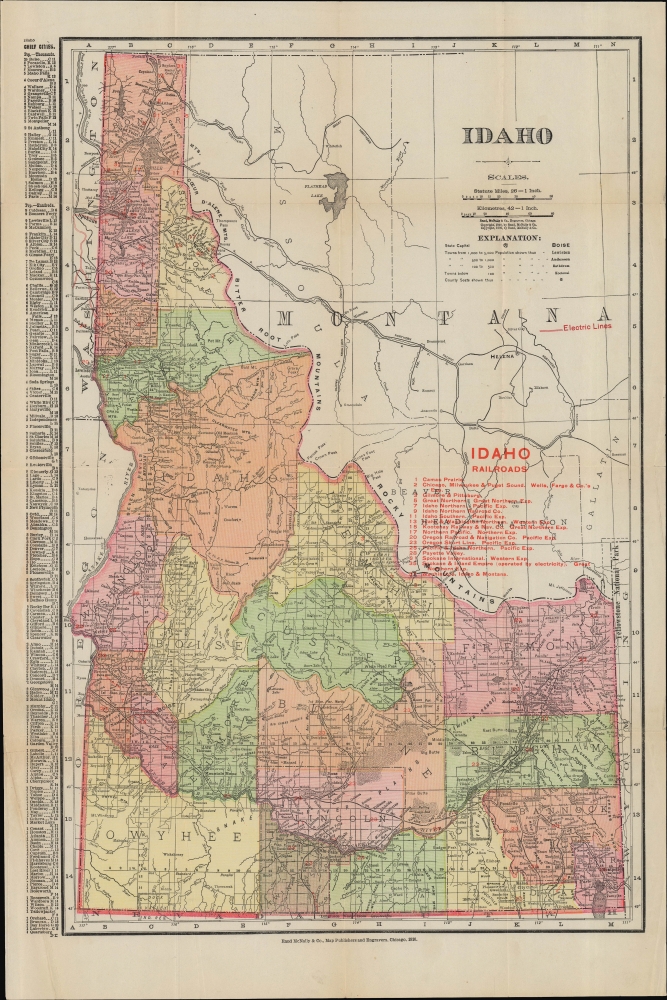
Idaho.
sold
- Digital Map Information
- Suitable for large format printing
- File Size: 16.11 MB
- File Type: ZIP / TIFF
- ICC color profile embedded
- Delivered instantly via download link
A colorful folding pocket map of Idaho, published in 1910 by Rand McNally and Co. (more details)
Scarce Miniature British Isles.

[Untitled map of the British Isles].
sold
- Digital Map Information
- Suitable for large format printing
- DPI: 600
- File Size: 3.08 MB
- File Type: ZIP / TIFF
- ICC color profile embedded
- Delivered instantly via download link
This attractive woodcut map of the British Isles was executed by Giuseppe Moretti for inclusion in the 1688 edition of Giuseppe Rosaccio's Teatro del Mondo. It is an entertaining composition, surrounding the islands with turbulent waves. (more details)
Charming cartifact of the diners and tiki rooms of Utah.

A Map-kin of Best Stops.
sold
- Digital Map Information
- Suitable for large format printing
- File Size: 28.37 MB
- File Type: ZIP / TIFF
- ICC color profile embedded
- Delivered instantly via download link
A scarce cartifact, this an 1952 map of central and western Utah, from Idaho to Colorado and the Nevada border, printed in two colors on a diner napkin. This 'Mapkin' represents a pictorial icon of the pre-interstate road trip, focusing specifically on the region from Las Vegas and the Grand Canyon in the south, to Logan, Utah and the Idaho border in the north. It is visually entertaining, depicting not only the roadside cafes and motels advertised within the map but also wildlife, cowboy scenes, and such entertainments as a fellow floating in the Great Salt Lake enjoying a newspaper titled 'You Can't Sink'. (more details)
Beginnings of Death Valley tourism.

[Death Valley.]
sold
- Digital Map Information
- Suitable for large format printing
- Full resolution TIFF file
- ICC color profile embedded
- Delivered instantly via download link
This is a 1934 Gerald Eddy pictorial map of Death Valley, California. Issued just year after Death Valley National Monument was chartered, this is one of the earliest obtainable touristic presentations of the dramatic desert. (more details)