
Rare chart of Florida.
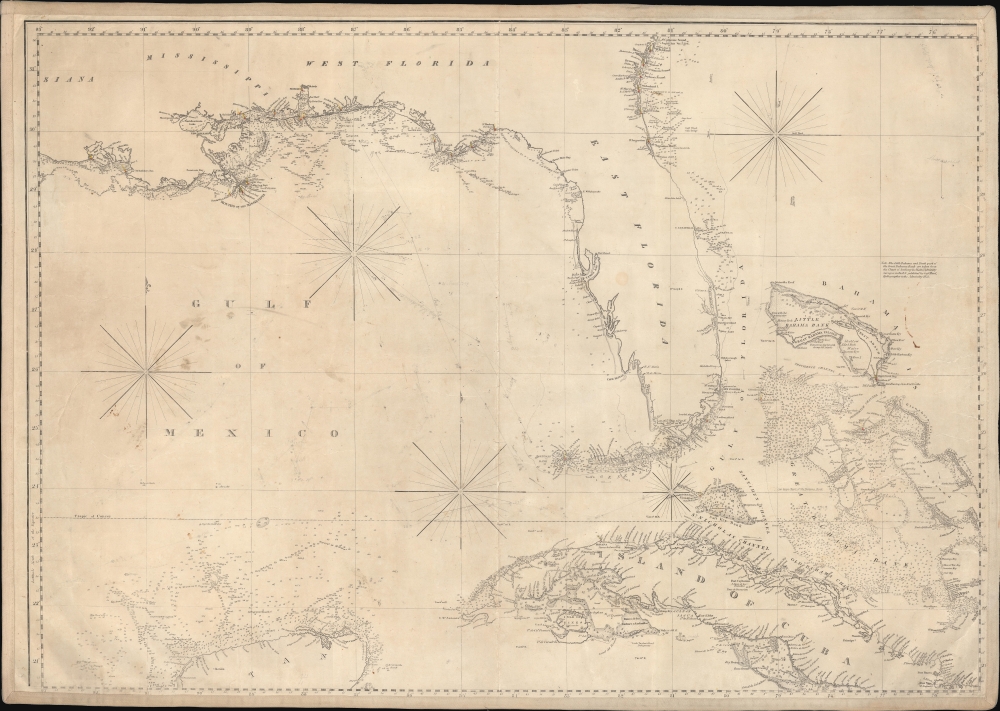
['Chart of the Gulf of Mexico, West Indies, and Spanish Main]. [Northwest Section].
sold
- Digital Map Information
- Suitable for large format printing
- DPI: 600
- File Size: 85.97 MB
- File Type: ZIP / TIFF
- ICC color profile embedded
- Delivered instantly via download link
An intriguing c. 1845 nautical map of Florida and part of the Gulf Coast by Edmund March Blunt. Following loosely on Spanish charts, this map represents the state-of-the-art Florida and Gulf Coast cartography going into the American Civil War (1861 - 1865). (more details)
First scientific survey of Maui.
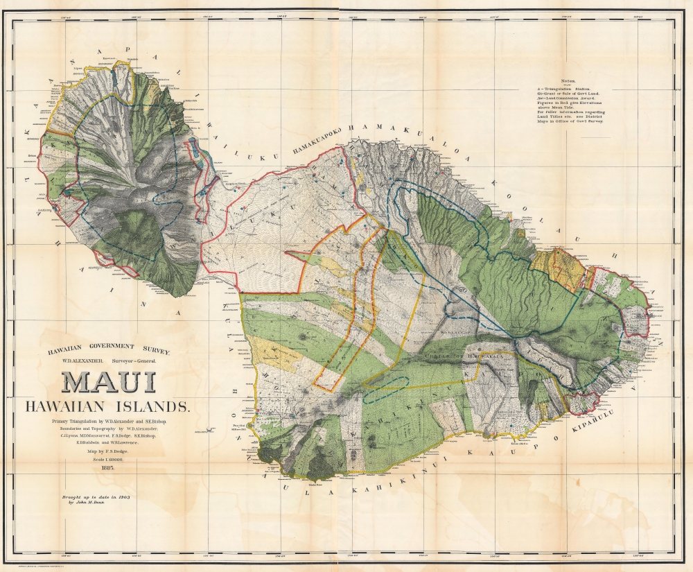
Maui, Hawaiian Islands.
sold
- Digital Map Information
- Suitable for large format printing
- File Size: 310 MB
- File Type: ZIP / TIFF
- ICC color profile embedded
- Delivered instantly via download link
This is the 1903 Frank S. Dodge and John M. Donn map of Maui in the Hawaiian Islands. This map is the first scientific survey of Maui as well as the first map commissioned by U.S. Government after Hawaii's 1898 annexation. (more details)
Chinese perspective on events that heralded the Sino-Soviet Split.
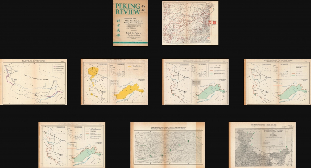
Peking Review 47 and 48, Sino-Indian Border Dispute.
$1,000.00
Acquire
An extensive 1962 set of historical maps of the Sino-Indian border, published in the Peking Review, an English-language periodical tied to the Chinese Communist Part. They represent a rarely-seen Chinese perspective on a little-known but significant episode in the Cold War. The focus is the Sino-Indian War, a border conflict fought at extreme elevations. The war soured relations between Russia and China, the world's largest nations and heralded the Sino-Soviet Split. (more details)
A nautical chart of Cape Canaveral - today the home of NASA's Kennedy Space Center
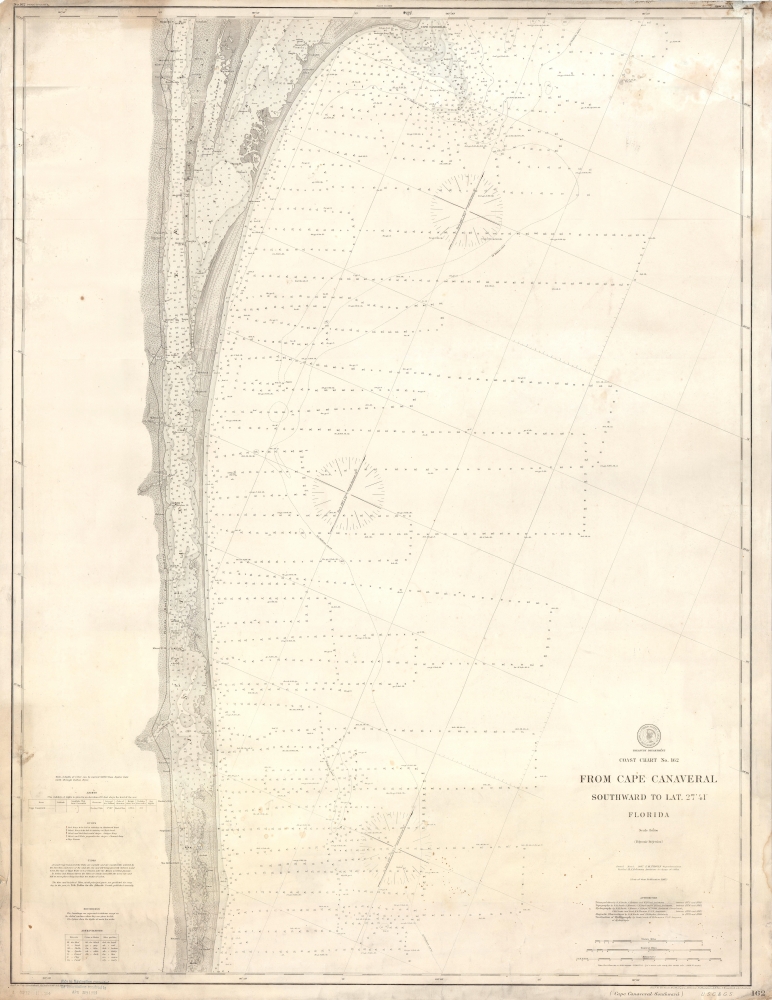
Coast Chart No. 162 From Cape Canaveral Southward to Lat. 27° 41' Florida.
sold
- Digital Map Information
- Suitable for large format printing
- File Size: 16.79 MB
- File Type: ZIP / TIFF
- ICC color profile embedded
- Delivered instantly via download link
This is a 1903 United States Coast and Geodetic Survey nautical chart or map of Cape Canaveral, Florida. The map depicts the coast of Florida from Cape Canaveral to La Roche and from the Florida East Railway line that ran along the coast to the Atlantic Ocean. Highly detailed, myriad depth soundings are noted throughout, particularly in the Indian River and Banana River. Several towns are labeled, including Cape Canaveral, Melbourne, and Houston. Notes concerning the light at Cape Canaveral, buoys, tides, and soundings are situated along the left border and three different scales (one in statute miles, nautical miles, and kilometers) are included in the lower right corner. (more details)
Incredible trek map of the Khumbu (Everest) region - with manuscript notations referring to a trek!
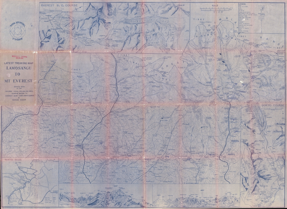
Latest Trekking Map Lamosangu to Mt Everest Showing whole of the Kumbu Himal, Rolwaling Himal, Namche Bazar to Everest Base Camp, Kokyo Course and Namche Bazar.
$500.00
Acquire
This is a one-of-a-kind c. 1977 Mandala Trekking Maps mimeographed map of the Khumbu, or Everest, region of Nepal. (more details)
Eye-catching and comical Manhattan.

Colorgraph Map of New York.
sold
This is a first edition 1954 Ira Moss pictorial map of the borough of Manhattan in New York City. Eye-catching and entertaining, 197 different locations throughout Manhattan are illustrated as vignettes and numerically identified. These numbers correspond to an index along the bottom and right listing the sites by category, including hotels, restaurants, night clubs, churches, bridges, stores, 'points of educational interest' (museums, libraries, universities, etc.), and other points of interest. (more details)
Flowers of America.

Our National Bouquet.
sold
- Digital Map Information
- Suitable for large format printing
- File Size: 45.48 MB
- File Type: ZIP / TIFF
- ICC color profile embedded
- Delivered instantly via download link
A scarce, beautiful 1911 chromolithographed map of the United States of America depicting the flowers of each state and territory. It was printed by the appropriately named United States Flower Map Co. (more details)
A beautiful town by the sea.
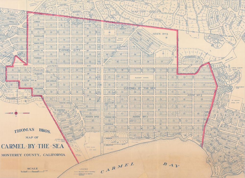
Thomas Bros. Map of Carmel-by-the-Sea, Monterey County, California.
sold
- Digital Map Information
- Suitable for large format printing
- File Size: 151.95 MB
- File Type: ZIP / TIFF
- ICC color profile embedded
- Delivered instantly via download link
A scarce large-scale c. 1949 Thomas Brothers map of Carmel-by-the-Sea on the Monterey Peninsula on California's Central Coast. By this time, Carmel and the Monterey Peninsula had been firmly established as a seaside haven for artists, writers, and other bohemians. This map is a significant enlargement fo the central portion of a smaller Thomas map, with red highlighting of the central district - likely intended for urban management. (more details)
Finest colonial-era map of New Guinea.

Map of the Territory of New Guinea administered by the Commonwealth of Australia under mandate from the League of Nations and Papua A Territory of the Commonwealth of Australia.
sold
- Digital Map Information
- Suitable for large format printing
- Full resolution TIFF file
- ICC color profile embedded
- Delivered instantly via download link
This large map of New Guinea issued c. 1930 by Herbert Edward Cooper Robinson is the best commercial map of the region to have been issued during the Australian colonial and mandate period. (more details)
Soviet Map of the U.S. Capital.

Вашингтон / [Washington].
sold
An intriguing c. 1960 Russian-language map of Washington, D.C. The origin of the map is unclear, but it may have been produced to coincide with Nikita Khrushchev's visit to the United States in September 1959, which began with a sojourn in the nation's capital. (more details)
Soviets Tour New York.

Нью-Йорк, центральная часть города - Манхэттен / [New York, Central Part of the City - Manhattan].
sold
A mysterious c. 1960 Russian-language map of Manhattan, New York City. The origin of the map is unclear, but it may have been produced to coincide with Nikita Khrushchev's visit to the United States, including a stop in New York, in September 1959. (more details)
Invasion of Britain?
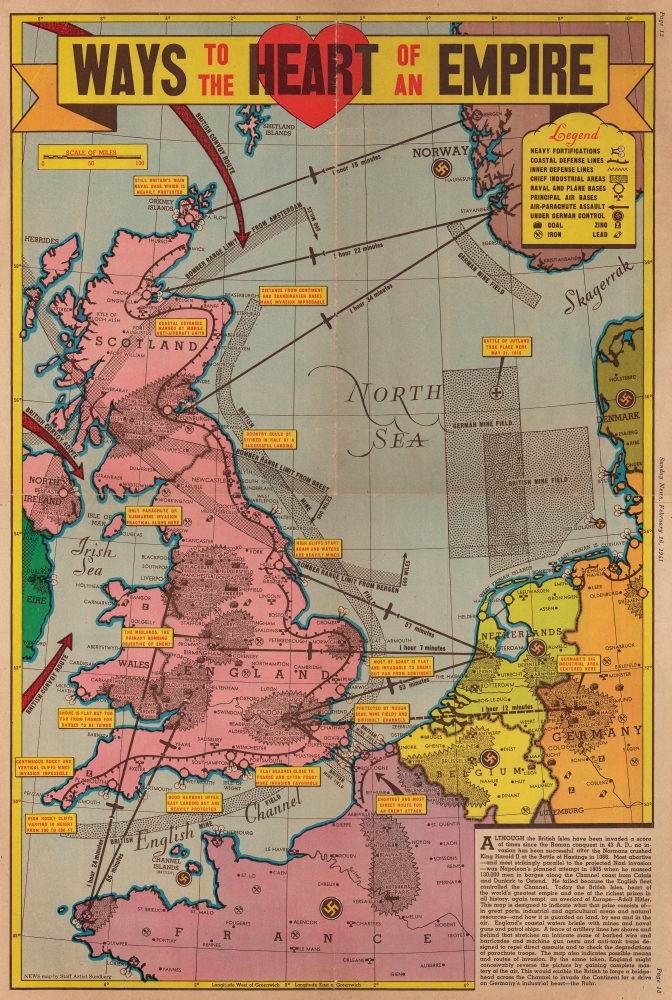
Ways to the Heart of the Empire.
sold
- Digital Map Information
- Suitable for large format printing
- Full resolution TIFF file
- ICC color profile embedded
- Delivered instantly via download link
This is a 1941 Edwin Sundberg pictorial map of Britain and northwestern Europe focusing on a potential Nazi invasion of Britain. (more details)
The early history of the New York City Subway.
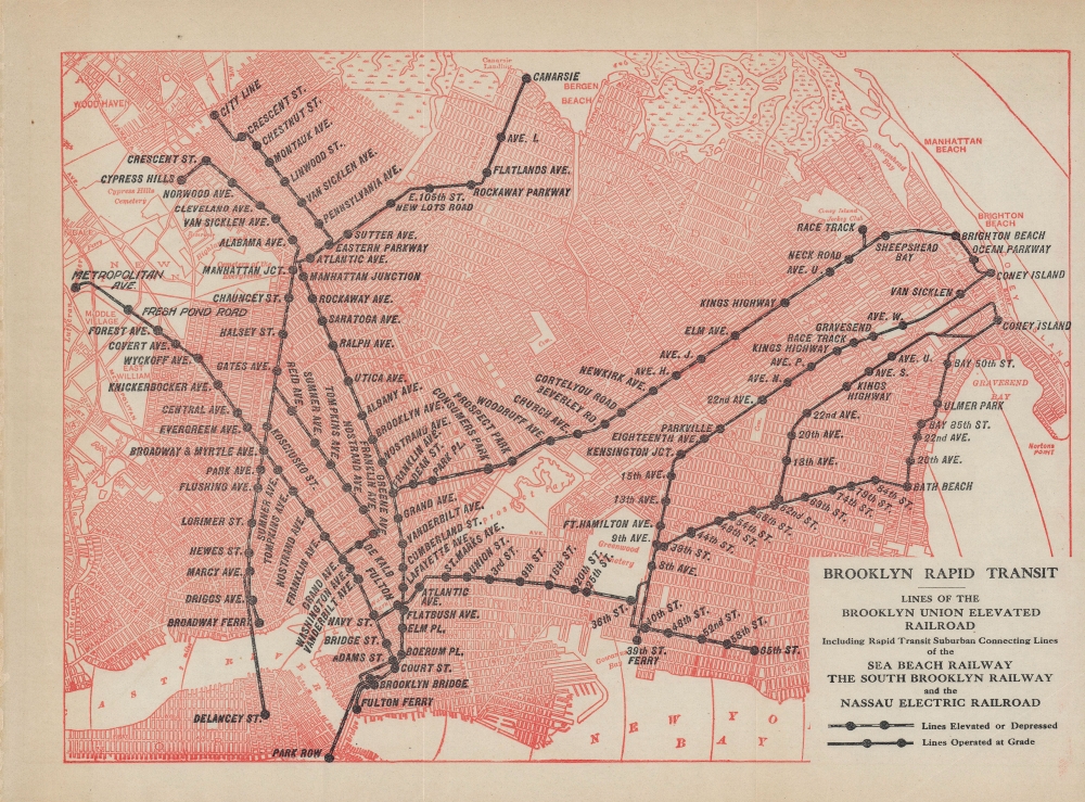
Brooklyn Rapid Transit: Lines of the Brooklyn Union Elevated Railroad, including rapid transit suburban connecting lines of the Sea Beach Railway, the South Brooklyn Railway, and the Nassau Electric Railroad.
sold
- Digital Map Information
- Suitable for large format printing
- File Size: 9.37 MB
- File Type: ZIP / TIFF
- ICC color profile embedded
- Delivered instantly via download link
A wonderful c. 1903 transit map depicting the lines belonging to the Brooklyn Rapid Transit (BRT) Company, one of the main predecessors to today's New York City Subway system. Created in 1896, the BRT was designed as a holding company that quickly consolidated the various lines in Brooklyn, some of which retain their earlier names here. (more details)
Montana's frontier history.

Montana. Frontier. Pioneer.
sold
- Digital Map Information
- Suitable for large format printing
- Full resolution TIFF file
- ICC color profile embedded
- Delivered instantly via download link
This is a 1937 Irvin Shope pictorial map of Montana. Depicting from Idaho to the Dakotas and from Canada to Wyoming (including Yellowstone National Park), Shope populates Montana with captions, vignettes, and other illustrations, offering a rich visual representation of Montana's history. Most captions recount tales of the Wild West. Outlaws, vigilantes, frontier violence, and vigilante 'justice' abound. Others inform on more conventional milestones, such as the location of the first Territorial Legislature, or that Virginia City was the first capital of the Montana Territory. Numerous cities and towns appear, including Helena, Missoula, and Bozeman. Vignettes frame the map, illustrating 'the major frontier industries: trapping, mining, cattle and sheep raising, and lumbering'. (more details)
Maui by car.

Map of the Island of Maui The Valley Isle.
sold
This is a 1968 Don Rapozo and Maui Shell Rent-A-Car pictorial tourist map of Maui, Hawaiian Islands. Pictorial vignettes appear throughout the island and promote sites including Eke Crater, Haleakala Crater, and Puu Kukui. Pineapples, sugar cane, palm trees, and 'Hawaiian forest' appear as well. Tourists are illustrated taking photos, swimming, golfing, and surfing. Red lines highlight Maui's highways. An inset map focuses on the Kahului Shopping Center and the office of Maui Shell Rent-A-Car. (more details)
Won't ya let me take you on a jungle cruise?

Circular Jungle Cruise, the Pippin: The most breathtaking sightseeing trip on the beautiful waters of Fort Lauderdale / Voyage of the Good Ship Pippin.
sold
- Digital Map Information
- Suitable for large format printing
- Full resolution TIFF file
- ICC color profile embedded
- Delivered instantly via download link
An amusing piece of Florida memorabilia, this is a c. 1945 map of the route of the 'Good Ship Pippin', an Everglades 'jungle cruise' operating out of Fort Lauderdale. (more details)
Laredo's urbanization.
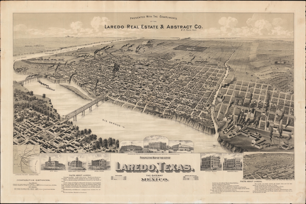
Perspective Map of the City of Laredo, Texas. The Gateway to and from Mexico.
sold
- Digital Map Information
- Suitable for large format printing
- File Size: 1068.57 MB
- File Type: ZIP / TIFF
- ICC color profile embedded
- Delivered instantly via download link
A very rare broadside bird's-eye view map of Laredo, Texas. The map was issued on Laredo's quadranscentennial, and so reflects a 25-year period of breakneck growth and prosperity, from which Laredo emerged as the most prosperous and connected border city in south Texas. (more details)
Laying the groundwork for the French takeover of Cambodia.
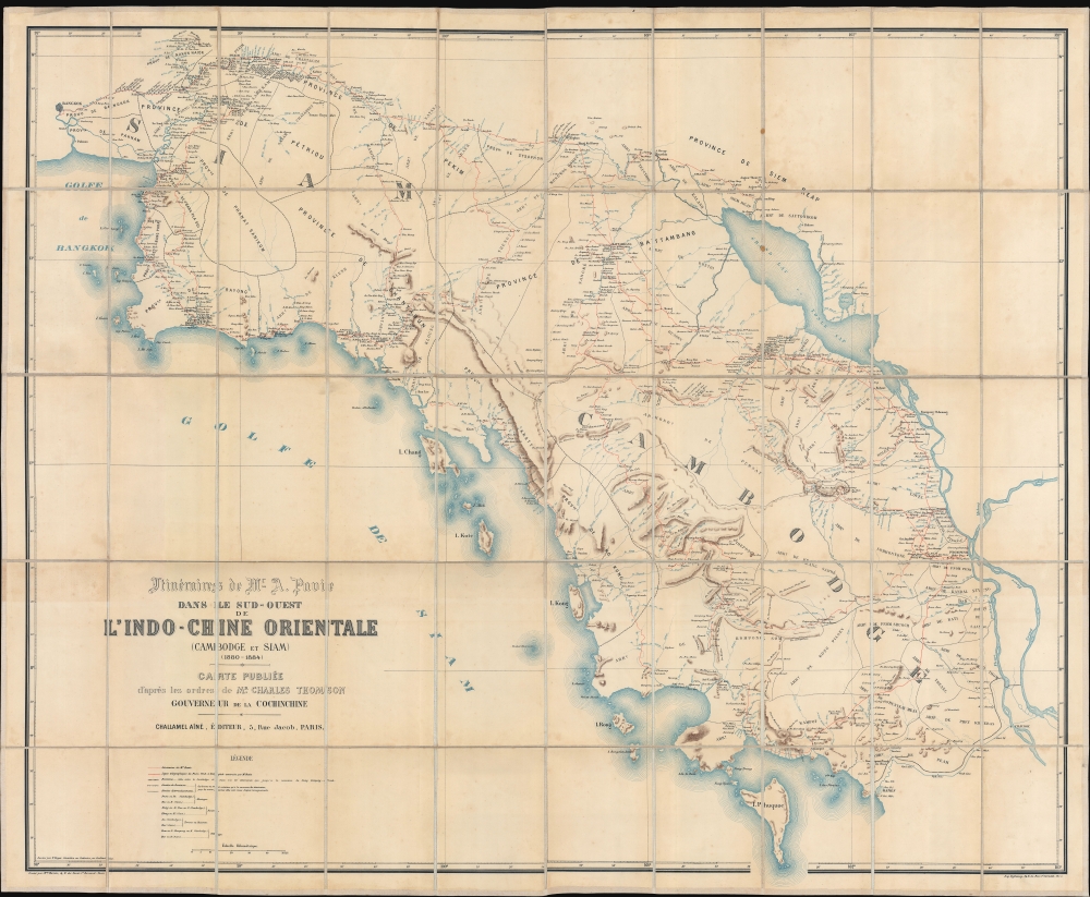
Itinéraires de Mr. A. Pavie dans le sud-ouest de L'Indo-Chine Orientale (Cambodge et Siam) (1880 - 1884).
sold
- Digital Map Information
- Suitable for large format printing
- File Size: 239.01 MB
- File Type: ZIP / TIFF
- ICC color profile embedded
- Delivered instantly via download link
Considered the first scientific survey of Cambodia and southeastern Thailand, this seminal map was published following the 1884 completion of the first and most controversial Mission Pavie (1879 - 1885). Pavie's exploration, mapping, construction of telegraph lines, and successful negotiations with Rama V of Siam, laid the groundwork for the French colonial takeover of Cambodia. The present example is the explorer Auguste Jean-Marie Pavie's own copy. (more details)
The 29th Infantry: from the U.S. to D-Day to V-E Day.

The 29th Infantry Division '29 Let's Go'.
sold
This is a 1945 29th Infantry Division World War II pictorial route map of Europe tracing the 29th's movements from the United States to England, across the English Channel to France on D-Day, and through Europe to Germany and the end of the war. Created by an unknown artist, the map provides a chronicle of the division's exploits meant for its veterans as a souvenir of all they had accomplished. (more details)
The World as known to Rome.
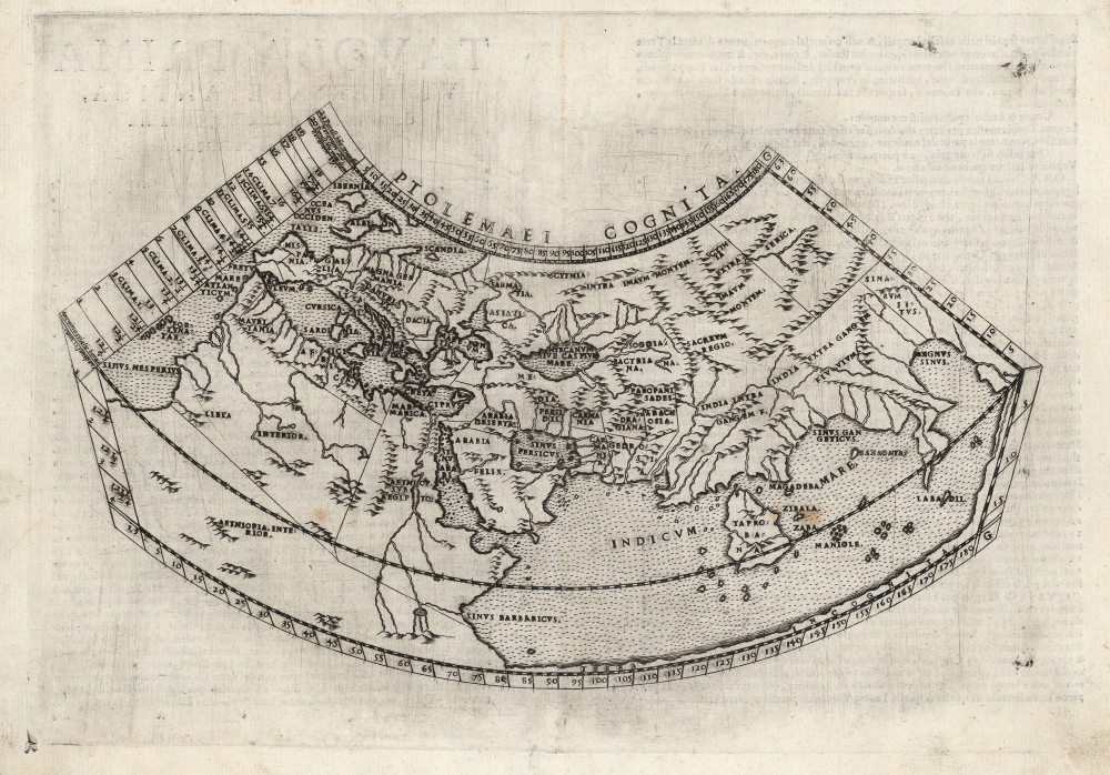
Ptolemaei Cognita.
sold
- Digital Map Information
- Suitable for large format printing
- Full resolution TIFF file
- ICC color profile embedded
- Delivered instantly via download link
This is Girolamo Ruscelli's 1574 edition of a foundational work of Renaissance cartography: the map of the known world as understood at the time of the Roman Empire. Claudius Ptolemy's 2nd-century innovation in representing the three-dimensional world projected on a grid via mathematical formulae provided the basis of all modern cartography. Consequently, his Geographia and the maps derived from it remained canonical and continued to be printed well into the 17th century. This is the first appearance of this specific map in Ruscelli's Ptolemy. (more details)