
First Issue of the Earliest Acquirable Plan of Paris.

Lutetia Parisiorum urbs, toto orbe celeberrima notissimaque, caput regni Franciæ.
sold
- Digital Map Information
- Suitable for large format printing
- Full resolution TIFF file
- ICC color profile embedded
- Delivered instantly via download link
This attractive 1550 woodcut map of Paris is the earliest acquirable plan of the city, here in its first printing in Sebastian Münster's Cosmographia. (more details)
Tank Destroyers during World War II.
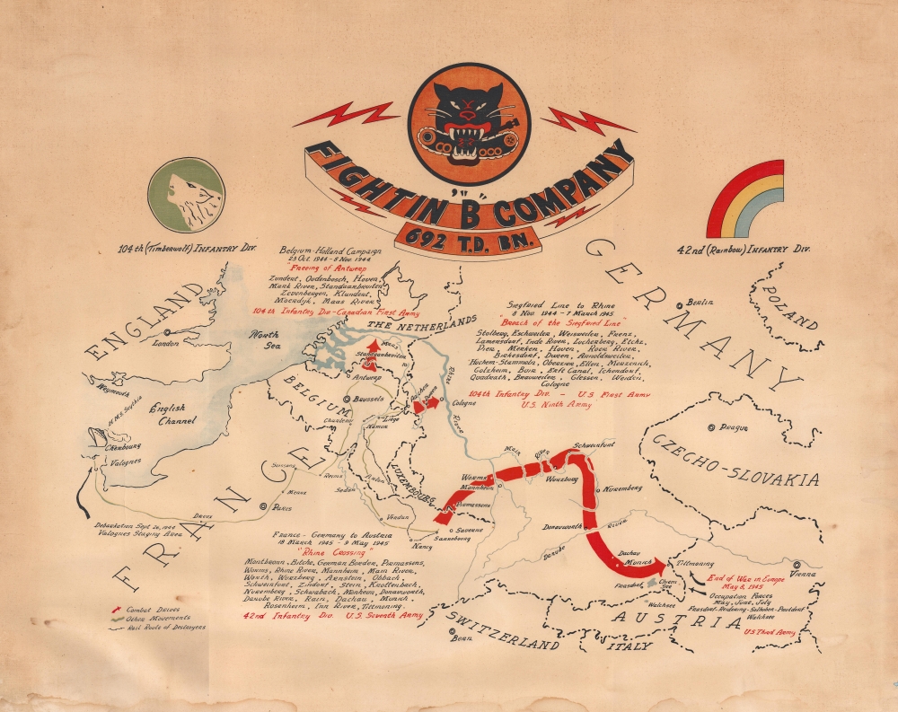
Fightin' 'B' Company 692 T.D. Bn.
sold
- Digital Map Information
- Suitable for large format printing
- File Size: 22.74 MB
- File Type: ZIP / TIFF
- ICC color profile embedded
- Delivered instantly via download link
This is a c. 1945 World War II unit route map of Company B, 692nd Tank Destroyer Battalion, in Europe. The map follows Company B from its September 26, 1944 debarkation in Europe through France, Belgium, and Germany until May 8, 1945, V-E Day, the end of the war in Europe. (more details)
Becoming an empire.

Conflit Hispano Americain Carte du Théâtre de la Guerre Dressée Spécialement pour les lecteurs de La Dépêche.
sold
- Digital Map Information
- Suitable for large format printing
- File Size: 54.72 MB
- File Type: ZIP / TIFF
- ICC color profile embedded
- Delivered instantly via download link
This is an 1898 Charaire map of the Atlantic Ocean between the United States and Spain published during the Spanish-American War. The view underscores French and general European curiosity (and concern) over the conflict. Spain's humiliating defeat in a matter of months marked an end to hundreds of years of Spanish empire and transformed the United States from an isolationist state into an imperial power. (more details)
Tank Destroyers across Europe.
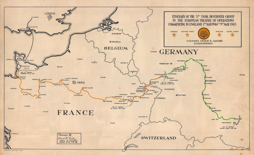
Itinerary of the 5th Tank Destroyer Group in the European Theater of Operations Commencing in England 7th May 1944 to 9th May 1945.
sold
- Digital Map Information
- Suitable for large format printing
- File Size: 17.29 MB
- File Type: ZIP / TIFF
- ICC color profile embedded
- Delivered instantly via download link
This is a 1945 World War II Emil E. Kulacz unit route map of Europe memorializing the movements of the 5th Tank Destroyer Group. (more details)
Follow hurricane paths from 1887 until 1926.
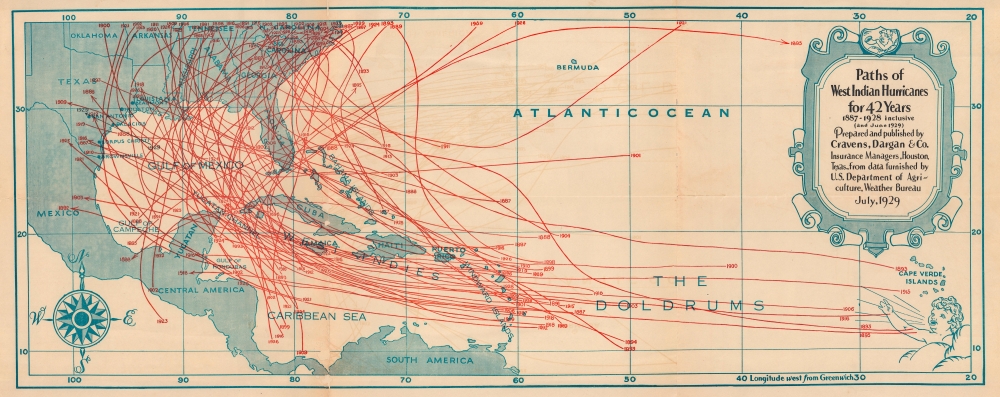
Paths of West Indian Hurricanes for 42 Years 1887 - 1928 inclusive (and June 1929).
sold
- Digital Map Information
- Suitable for large format printing
- File Size: 23.41 MB
- File Type: ZIP / TIFF
- ICC color profile embedded
- Delivered instantly via download link
This is a July 1929 Cravens, Dargan and Company map of the West Indies highlighting hurricane paths. Dozens of storms are traced over the course of 42 years, from 1887 until 1928. (more details)
Classic World Map of the Dutch Golden Age.
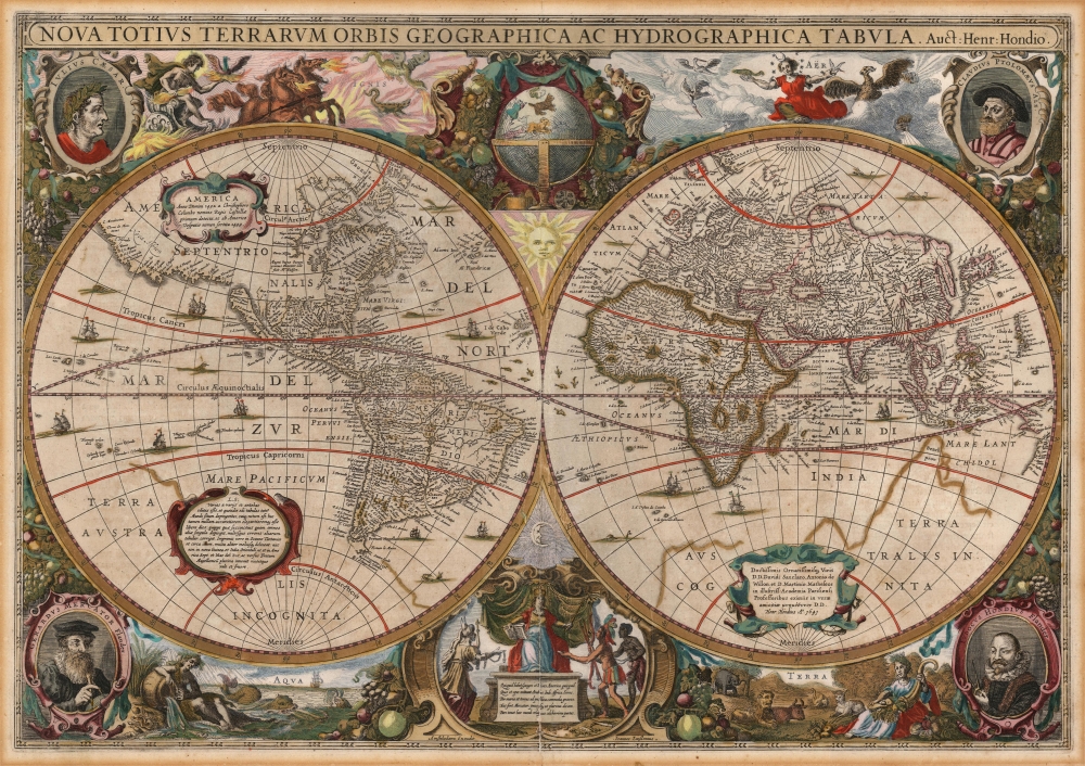
Nova Totius Terrarum Orbis Gerographica ac Hydrographica Tabula. Auct. Henr: Hondio.
sold
- Digital Map Information
- Suitable for large format printing
- Full resolution TIFF file
- ICC color profile embedded
- Delivered instantly via download link
This is Henry Hondius' 1630 map of the world, in its 1646 Jansson edition (the second state, dated 1641), wiht striking old color. With its wealth of decorative flourishes, this map epitomizes Dutch Golden Age cartography. (more details)
Landmark Administrative Map of the Late Qing.

皇朝直省府廳州縣全圖 / [Complete Map of the Dynasty's Provinces, Prefectures, Subprefectures, Departments, and Counties].
sold
- Digital Map Information
- Suitable for large format printing
- Full resolution TIFF file
- ICC color profile embedded
- Delivered instantly via download link
A massive 1864 administrative map of Qing China, published by the Hubei Official Bookshop. When published, it represented the best and most comprehensive administrative map of China. It continued to serve as the basis for large-format administrative maps until the end of the dynasty in 1912 and into the Republican period (1912 - 1949). (more details)
Fine early nautical chart of Sardinia.
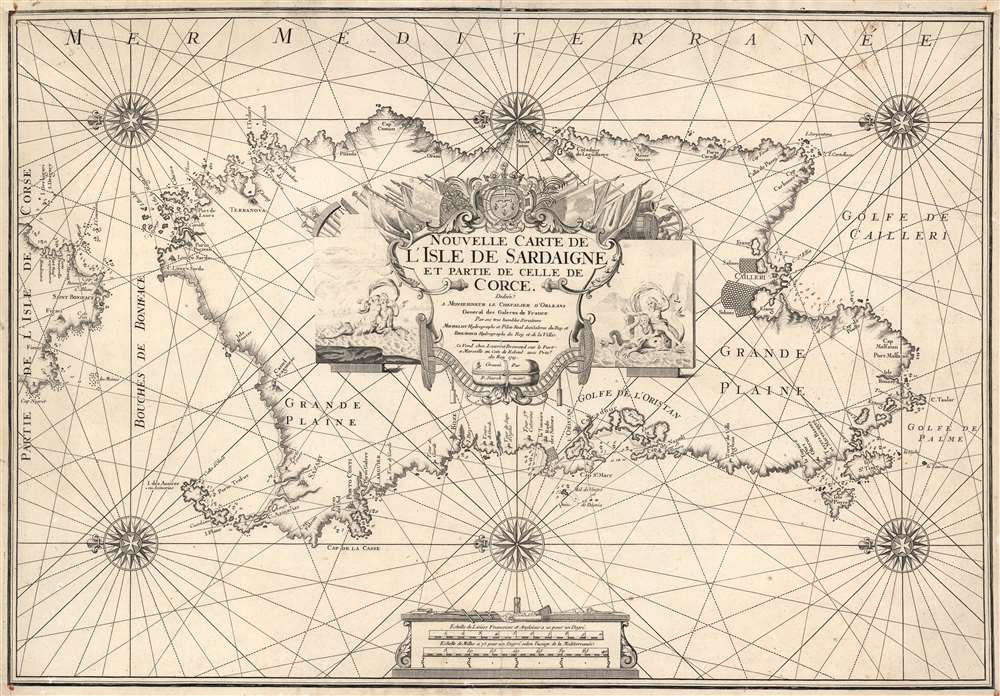
Nouvelle Carte de L'Isle de Sardaigne et partie de Celle de Corce.
sold
- Digital Map Information
- Suitable for large format printing
- DPI: 600
- File Size: 27.85 MB
- File Type: ZIP / TIFF
- ICC color profile embedded
- Delivered instantly via download link
This is a rare 1719 Henri Michelot nautical map of the island of Sardinia, Italy. Michelot was active in the Mediterranean Sea for many years, and his charts benefit from his expertise in those waters - making them among the finest available at the time of publication. Accordingly, coastal features are abundantly named, depth soundings are marked for the island's anchorages, and coastal landmarks such as towers and hills are indicated pictorially. The famous salt flats of Cagliari and the Oristano lagoon are marked as well. (more details)
Railroad hub to the nation.
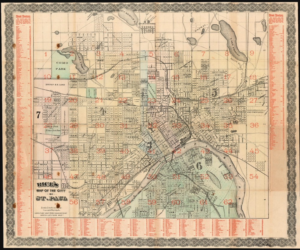
Rice's Map of the City of St. Paul.
sold
- Digital Map Information
- Suitable for large format printing
- Full resolution TIFF file
- ICC color profile embedded
- Delivered instantly via download link
A scarce 1885 map of Saint Paul, Minnesota by Gilbert Jay Rice. The map covers all of Saint Paul on both sides of the Mississippi River. The map has here been lithographed in two passes, once with black ink, and again with red overprinting - a feature along with the wash color that appeared only on deluxe issues of the map. (more details)
Edition of the Earliest Acquirable Englishman's Map of the British Isles.
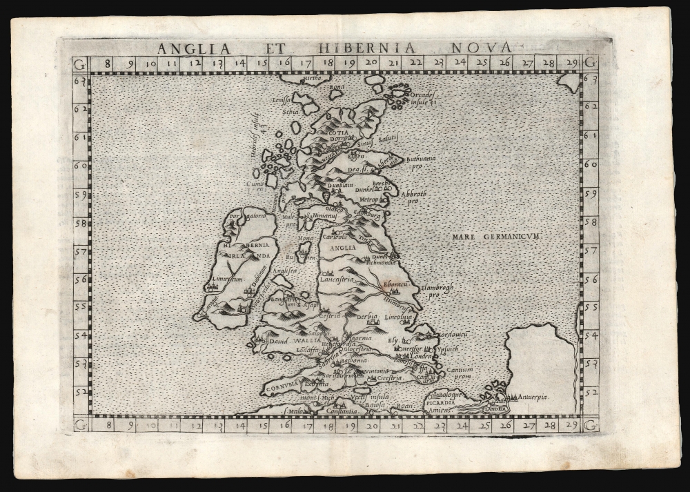
Anglia et Hibernia Nova.
sold
- Digital Map Information
- Suitable for large format printing
- Full resolution TIFF file
- ICC color profile embedded
- Delivered instantly via download link
This is a handsome example of Girolamo Ruscelli's 1561 / 1574 map of the British Isles. Of the maps prepared for Ruscelli's Ptolemy, it is among the most important: while most were larger, superior copies of the maps appearing in the 1548 Gastaldi Ptolemy, this map was a unique, updated work. (more details)
Speculates on the post-war breakup of Germany months before the D-Day invasion of France.
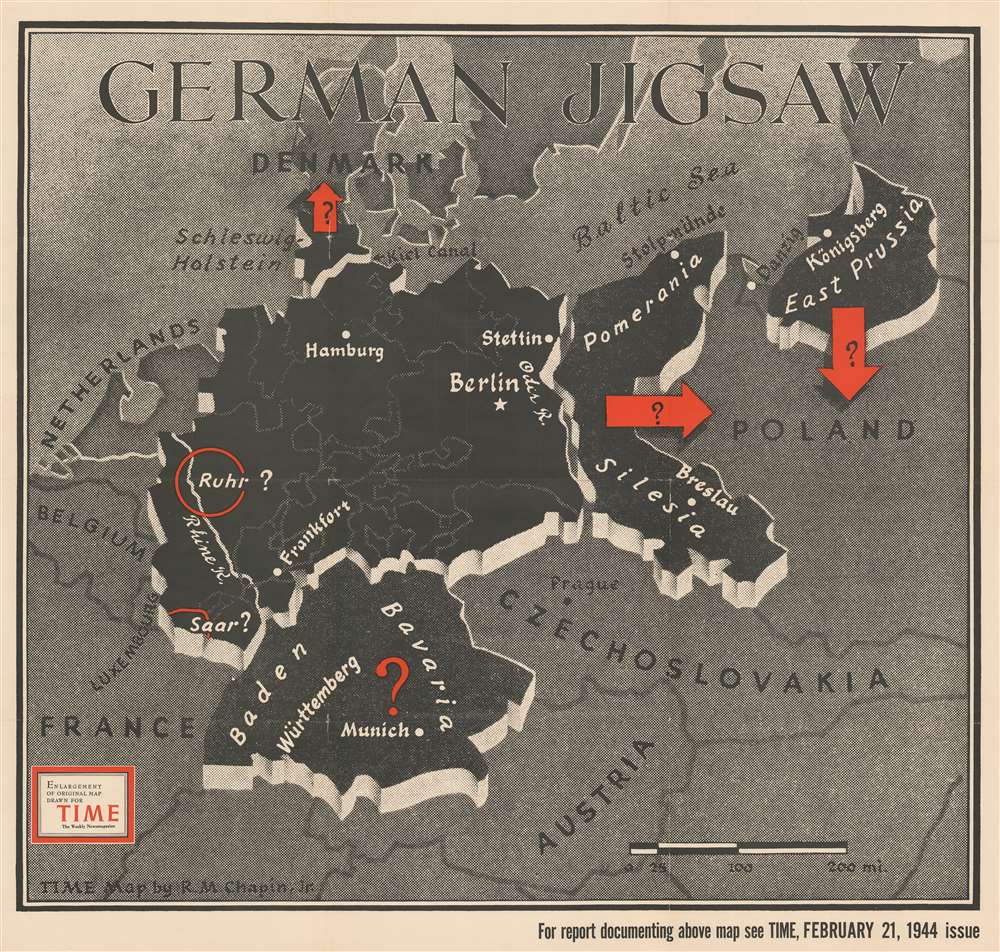
German Jigsaw.
sold
- Digital Map Information
- Suitable for large format printing
- File Size: 61.51 MB
- File Type: ZIP / TIFF
- ICC color profile embedded
- Delivered instantly via download link
This separate-issue large-format Robert M. Chapin Jr. map of World War II Germany speculates about the fate of a post-war Germany. It was published at the end of February 1944, three months before D-Day. (more details)
Occupied Germany after World War II.

Atlanta Karte der Besatzungs-Zonen mit Neuen Postleitgebieten. Map of the Occupation Areas. Carte des Zones d'Occupation. КАРТА ОККУПАЦИОННЫХ ЗОН.
sold
- Digital Map Information
- Suitable for large format printing
- File Size: 20.98 MB
- File Type: ZIP / TIFF
- ICC color profile embedded
- Delivered instantly via download link
This is a 1946 Atlanta Service map of Germany delineating the Allied Occupation Zones after the defeat of Nazi Germany. (more details)
First printed map of the Western Hemisphere.
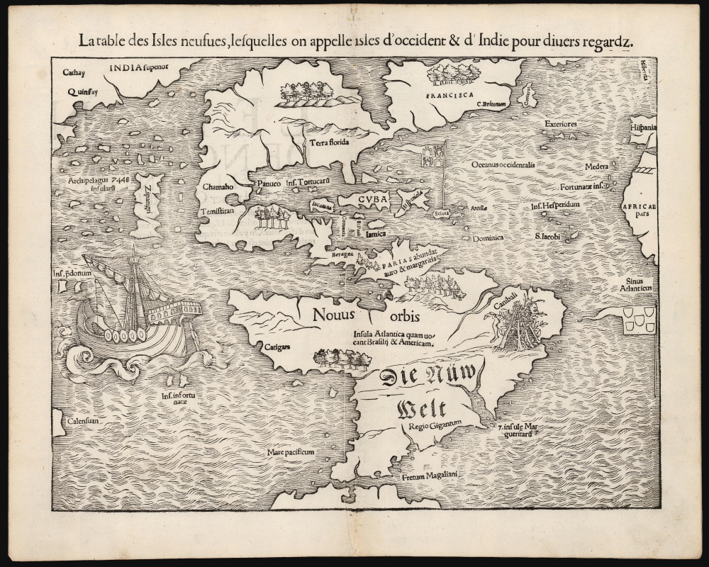
La table des Isles neufues, lesquelles on appelle isles d'occident et d Indie pour divers regardz.
sold
- Digital Map Information
- Suitable for large format printing
- Full resolution TIFF file
- ICC color profile embedded
- Delivered instantly via download link
This is an excellent 1552 French-text edition of Sebastian Münster's 1540 map of America, the first printed map of the Western Hemisphere. From 1544, this map was included in Münster's Cosmographia. The 1552 editions are the last published in Münster's lifetime - after which production quality significantly declined. Cosmographia long outlasted Münster, remaining the best source for over 40 years for anyone who wished to know about the world. Consequently, this map had a disproportionate impact, providing the first glimpse of the New World to Europeans for nearly half a century. (more details)
The ephemeral 'Fast Mail', America's first true 'Express Mail Service'.

The Flight of the Fast Mail on the Lake Shore and Michigan Southern Ry. The Popular Passenger Route between East and West. Union Depots No Ferry Transfers. No Delays.
sold
- Digital Map Information
- Suitable for large format printing
- File Size: 36.99 MB
- File Type: ZIP / TIFF
- ICC color profile embedded
- Delivered instantly via download link
A spectacular 1875 5-color chromolithograph advertising broadside promoting the 'Fast Mail' route of the Lake Shore and Michigan Southern Railway - this was the first major use of railroads to institute a national 'Express Mail' service. The view contrasts the horse-based mail carrier of 1775 (or literally 1 year prior) to the steam-railroad 'Fast Mail' service. Fast Mail was an ephemeral U.S. postal initiative that utilized the New York Central and Lake Shore and Michigan Southern Railway lines to run an exclusive mail service line capable of moving tons of mail between New York and Chicago - halfway across the country - in just 24 hours. At the time, a ground-breaking achievement. Here, the 'Fast-Mail,' propelled by an impressively rendered steam locomotive, passes through town, hardly slowing as outbound mail is grabbed from a 'mail post' while inbound mail is tossed off the train to a waiting postal worker. (more details)
One of the most beautifully engraved maps of the West Indies.

Insulae Americanae in Oceano Septentrionali cum Terris adiacentibus.
sold
- Digital Map Information
- Suitable for large format printing
- Full resolution TIFF file
- ICC color profile embedded
- Delivered instantly via download link
This is a superb 1643 example of Willem Blaeu's 1634 map of the Caribbean Islands in gorgeous original color. Both geographically and aesthetically, this map set the standard for the mapping of this region: more than a dozen maps produced later in the 17th century derived form this map, some to the extent of reproducing the title. Blaeu based this work both on his own West Indische Paskaert and Hessel Gerritsz' unacquirably rare and unassailably authoritative 1631 De Eylanden Ende Vastelanden Van Westindien op de Noordzee. The map thus reflects those geographers' commanding knowledge of the Caribbean and the Gulf Coast. (more details)
One of the earliest views of Hong Kong.
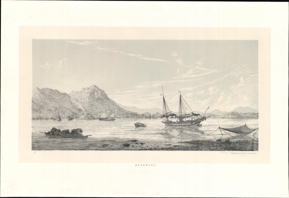
Hong Kong.
sold
- Digital Map Information
- Suitable for large format printing
- File Size: 13.12 MB
- File Type: ZIP / TIFF
- ICC color profile embedded
- Delivered instantly via download link
This rare c. 1864 lithograph of Hong Kong Harbor, printed by Wilhelm Korn in Berlin, represents one of the earliest printed views of Hong Kong. The image was drawn during the Eulenburg Expedition, a Prussian attempt to establish trading relations with Siam, China, and Japan. It is also one of the earliest examples of photolithography. (more details)
The Berkshires.
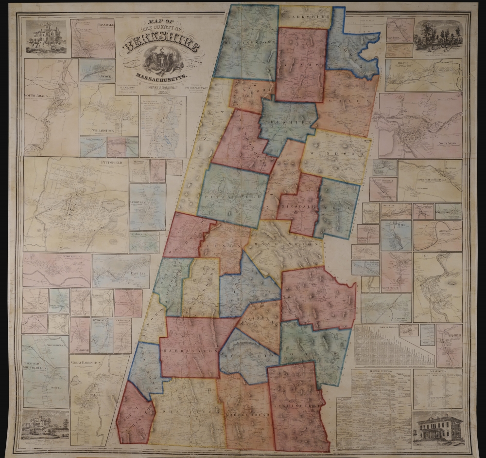
Map of the County of Berkshire Massachusetts.
sold
- Digital Map Information
- Suitable for large format printing
- File Size: 446.9 MB
- File Type: ZIP / TIFF
- ICC color profile embedded
- Delivered instantly via download link
This is an 1858 Henry Francis Walling wall map of Berkshire County, Massachusetts - the summer arts mecca. When issued, it was by far the largest and most detailed map of the Berkshires available. (more details)
Rare state of one of the most important 19th century map of New Zealand.
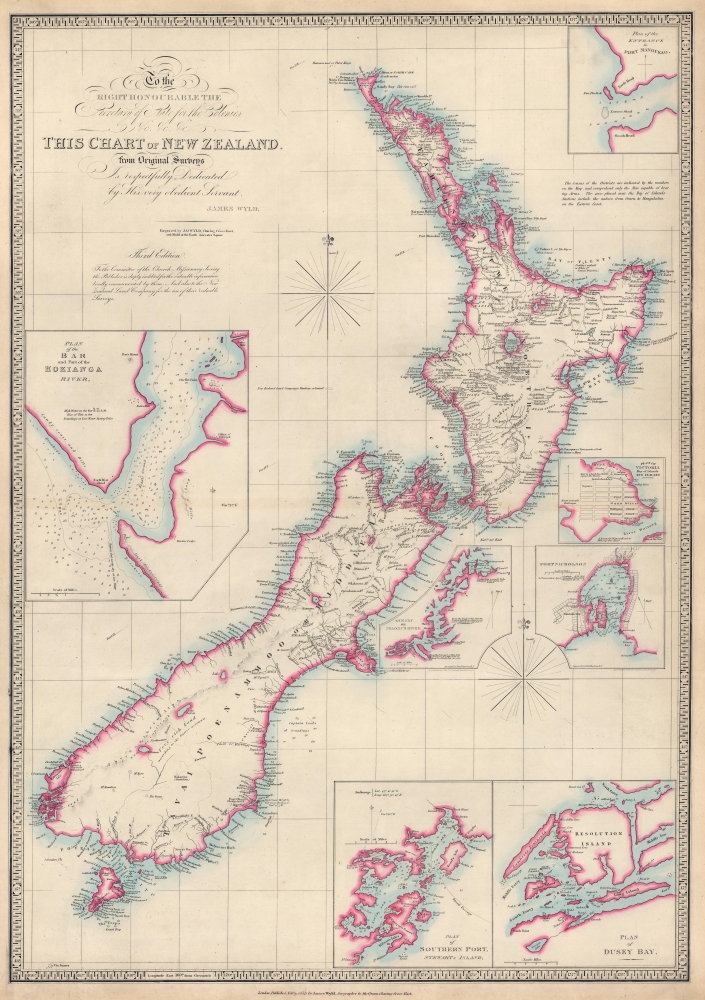
To the Right Honourable the Secretary of State for the Colonies etc. etc. etc. This Chart of New Zealand from Original Surveys is Respectfully Dedicated by His very obedient Servant James Wyld.
sold
- Digital Map Information
- Suitable for large format printing
- File Size: 29.62 MB
- File Type: ZIP / TIFF
- ICC color profile embedded
- Delivered instantly via download link
This is an 1853 James Wyld map of New Zealand - the present example being a rare state of one of the most important 19th-century maps of New Zealand. It does not appear in OCLC and is not cataloged in Tooley's The Mapping of Australia and Antarctica. (more details)
Last Days of Mandatory Palestine.

فلسطين ١٩٤٨/ خارطة فلسطين / [Palestine 1948 / Map of Palestine].
sold
A large wall map of Palestine as it appeared in 1948, in the waning days of the British Mandate, produced by the Palestine Liberation Organization Research Center c. 1966. The map's compilation was overseen by Said Kamel Sabbagh, an accomplished Palestinian-Lebanese geographer, and thus represents the PLO's approved reference map for the Mandatory period. It represents the opening phase of the Nakba or 'Catastrophe.' (more details)
One of the scarcest plans of London.
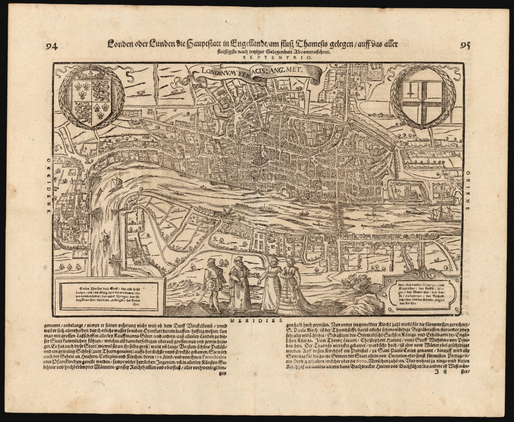
Londen oder Lunden die Hauptstatt in Engellandt / am fluß Thamesis gelegen/ auff das aller fleißsigste nach jetziger gelegenheit abcontrafehtet.
sold
- Digital Map Information
- Suitable for large format printing
- Full resolution TIFF file
- ICC color profile embedded
- Delivered instantly via download link
This scarce woodcut is the third earliest acquirable depiction of London. Prepared in 1598, it was the only depiction of London to appear in Münster's Cosmographia, appearing in only the three last Sebastian Petri editions of that work. (While pre-dated by the 1593 Norden and the 1595 Valegio plans in James Howgego's cartobibliography, these are not acquirable in their first editions.) (more details)