
An even greater New York.

[New Manhattan] / City of New Manhattan.
sold
- Digital Map Information
- Suitable for large format printing
- Full resolution TIFF file
- ICC color profile embedded
- Delivered instantly via download link
This is a bold and futuristic 1911 - 1931 proposal to transform Manhattan with a landfill extending 8 miles into New York Harbor by T. Kennard Thomson, one of the founding fathers of American structural engineering and a pioneer of the Skyscraper Age. These two maps comprehend the first and last iteration of Kennard Thomson's 'New Manhattan': a preliminary partial manuscript plan dating to March 22, 1911 (predating the official release of the proposal in May) and the final 1930 iteration, in full manuscript. (more details)
Presenting the obsolete, geocentric, model of the universe
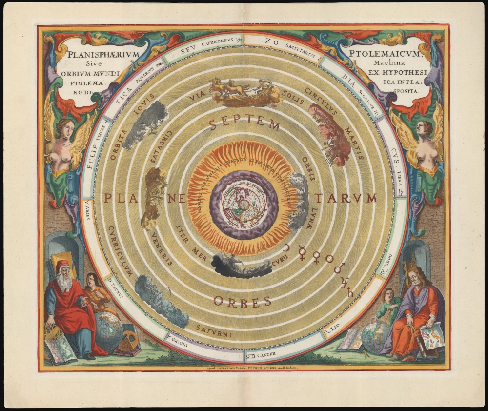
Planisphaerium Ptolemaicum, sive Machina Orbium Mundi Ex Hypothesi Ptolemaica in Plano Disposita.
sold
- Digital Map Information
- Suitable for large format printing
- File Size: 28.06 MB
- File Type: ZIP / TIFF
- ICC color profile embedded
- Delivered instantly via download link
This beautiful work is Andreas Cellarius' celestial chart, in its 1708 Valk and Schenk edition, illustrating the geocentric solar system imagined by Claudius Ptolemy in the 2nd century, and which remained the standard model of the universe until the 16th century and the discoveries of Nicolas Copernicus. It is among the most beautiful depictions of the Earth-centered solar system produced in the 17th century. (more details)
Rebranding a city.
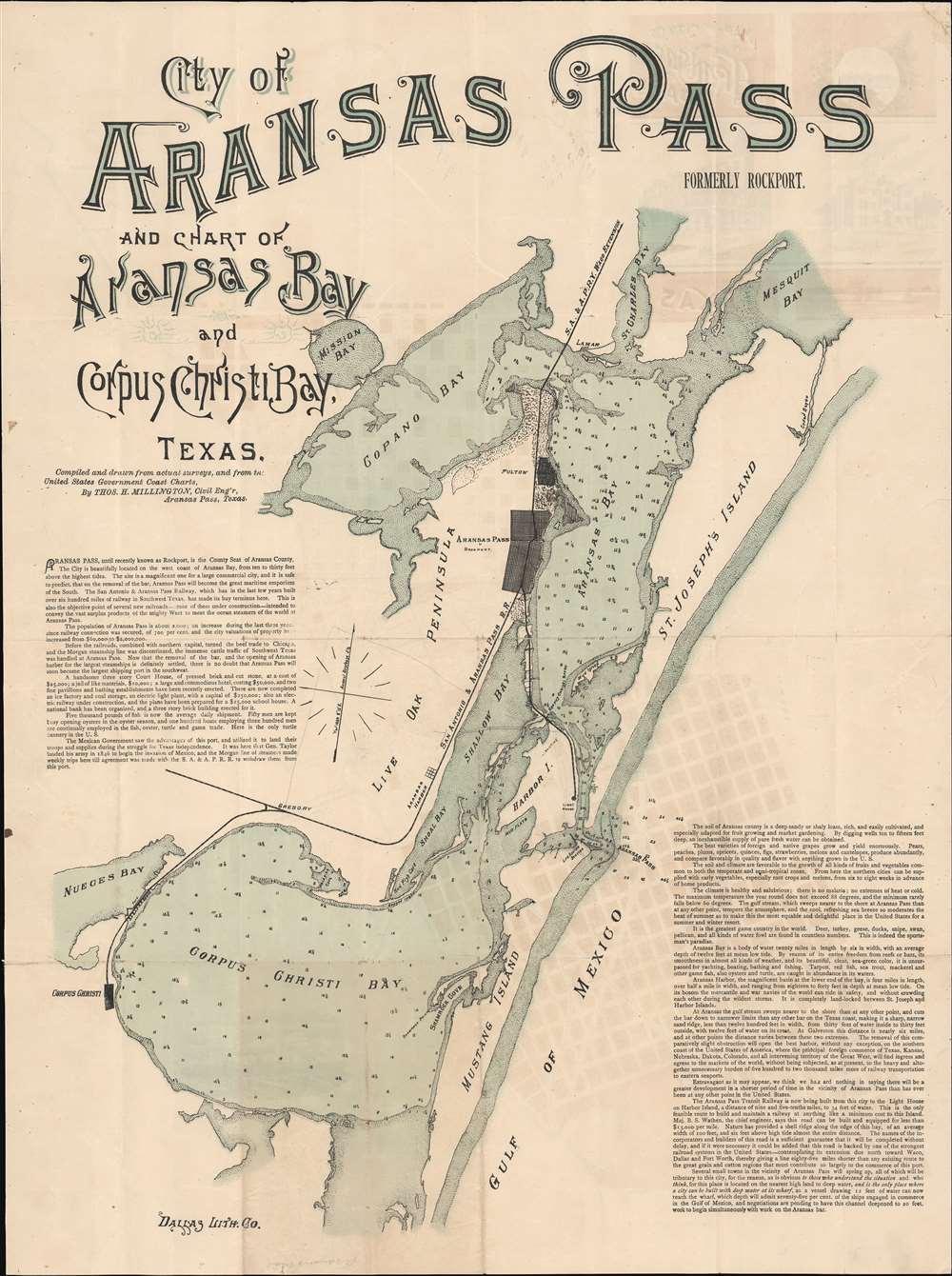
City of Aransas Pass and Chart of Aransas Bau and Corpus Christi Bay Texas. Formerly Rockport. / Map of the City of Aransas Pass Formerly Rockport Texas.
sold
- Digital Map Information
- Suitable for large format printing
- Full resolution TIFF file
- ICC color profile embedded
- Delivered instantly via download link
This is a large and impressive c. 1890-91 Thomas Millington real-estate broadside highlighting 'Rockport, Texas and the San Antonio and Aransas Pass Railway' (SAAP) attempts to rebrand Rockport as Aransas Pass. The SAAP planned for their Rockport hub to become the largest deep-water port on the Gulf Coast. The map was issued in the last days of the SAAP's independence - before the railroad ran into insolvency and was taken over by the competing Southern Pacific. (more details)
Exceptional Freemason iconography.

A Beautiful and Accurate Elevation of the Temple of Solomon.
sold
- Digital Map Information
- Suitable for large format printing
- File Size: 81.4 MB
- File Type: ZIP / TIFF
- ICC color profile embedded
- Delivered instantly via download link
This is a c. 1868 John Sherer masonic instructional wall map incorporating an impressive view of the model of the Temple of Solomon as commissioned in 1863 by Hamberger chancellor Gerhard Schott. (more details)
Pegasus.

[Pegasus].
sold
- Digital Map Information
- Suitable for large format printing
- DPI: 600
- File Size: 8.34 MB
- File Type: ZIP / TIFF
- ICC color profile embedded
- Delivered instantly via download link
This is a 1690 Johannes Hevelius celestial chart or star map of the Pegasus constellation from his influential work Firmamentum Sobiescianum, sive Uranographia. Pegasus dominates the sheet, which also includes adjacent Piscis Austrinus, Aquarius, Equuleus, Delphius, Andromeda, and Vulpecula. (more details)
Promoting exploiting Scottish fisheries and forests.
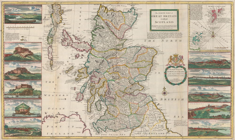
The North Part of Great Britain Called Scotland.
sold
- Digital Map Information
- Suitable for large format printing
- Full resolution TIFF file
- ICC color profile embedded
- Delivered instantly via download link
This is a stunning old color example of Herman Holl's 1714 map of Scotland promoting the dynamic utilization of Scotland's rich natural resources, including leveraging Scottish fisheries and forests to reduce British dependence on imports. (more details)
Couching modern geography in a Christian context.
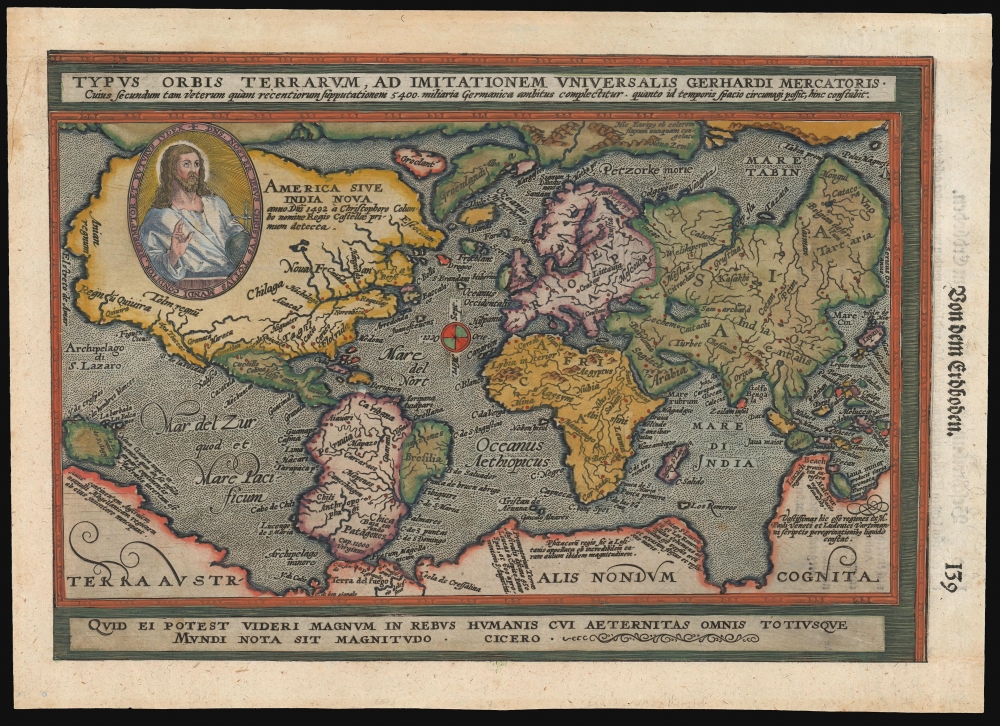
Typus Orbis Terrarum, ad Imitationem Universalis Gerhardi Mercatoris.
sold
- Digital Map Information
- Suitable for large format printing
- File Size: 8.18 MB
- File Type: ZIP / TIFF
- ICC color profile embedded
- Delivered instantly via download link
This is an attractive example of Matthias Quad's 1596 map of the world, modeled on Mercator's 1569 wall map. Quad's reduction is one of the first maps to use the projection bearing Mercator's name, and of these, it is the one that does so the most precisely. In addition, Quad's map relates to Abraham Ortelius' world map by using at the bottom the Latin quotation from Cicero, similarly decorating Ortelius' work: 'For what can seem important in human affairs to someone who is aware of all eternity and the size of the whole world?' Quad has also added the image of Christ in a medallion in the upper left quadrant of the map, bearing the Latin legend 'Our Lord Jesus Christ the founder, redeemer and future judge of the whole world'. (more details)
Nantucket folk art map identifying Cod Fish Park artist colony.
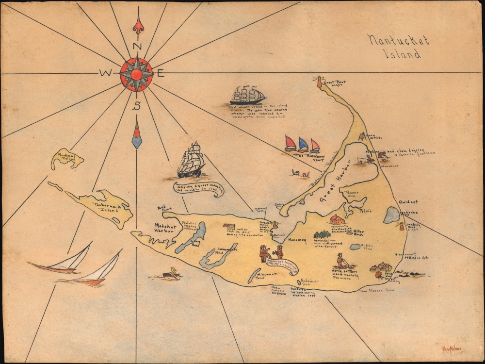
Nantucket Island.
sold
- Digital Map Information
- Suitable for large format printing
- File Size: 7.59 MB
- File Type: ZIP / TIFF
- ICC color profile embedded
- Delivered instantly via download link
This is a unique and utterly charming c. 1930s manuscript pictorial and historical map of Nantucket Island, Massachusetts, by Rose Palmer. This is one of the few period maps that identifies Cod Fish Park as an artist colony. (more details)
The Road to Musical Success!

[The Road to Success.]
sold
- Digital Map Information
- Suitable for large format printing
- File Size: 16.55 MB
- File Type: ZIP / TIFF
- ICC color profile embedded
- Delivered instantly via download link
This is a c. 1913 allegorical map of the Road to Success, a path lined by temptations and pitfalls, where changes in mindset can bring prosperity or failure. (more details)
'This is God's Country Don't Drive Thru It Like Hell'.
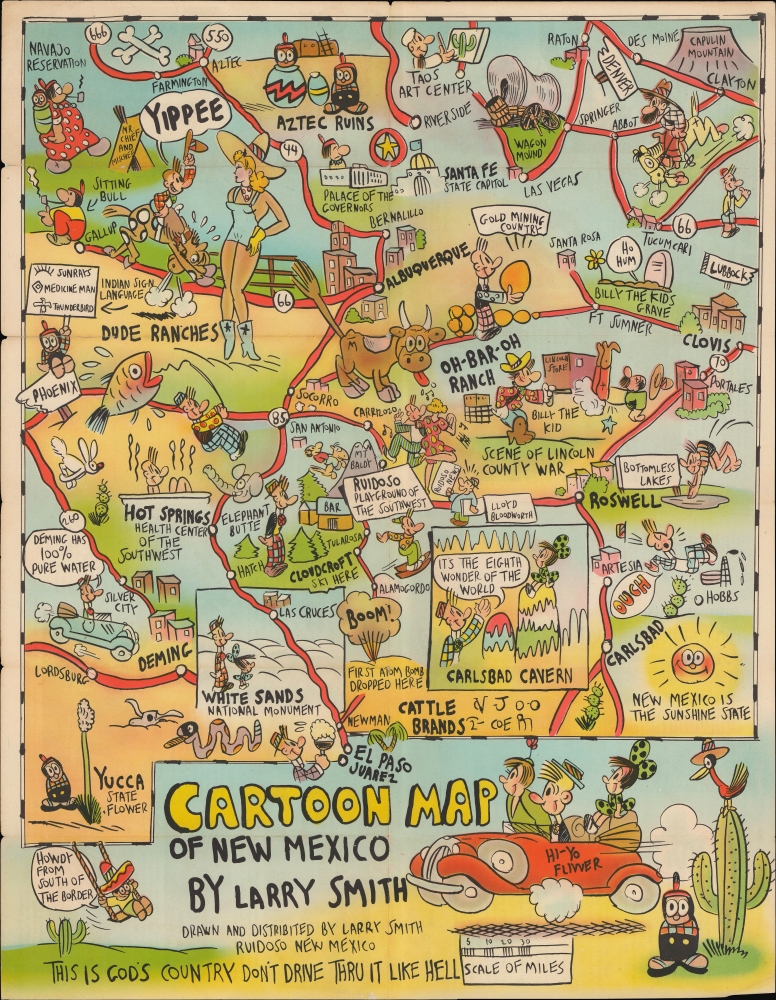
Cartoon Map of New Mexico. / New Mexico Land of Enchantment and Romance.
sold
- Digital Map Information
- Suitable for large format printing
- Full resolution TIFF file
- ICC color profile embedded
- Delivered instantly via download link
A wildly amusing cartoon map of New Mexico, produced around 1950 by Larry Smith. Drawn in Smith's distinctive style, it features Native Americans, cowboys, gunfights, cactuses, and a mushroom cloud from the Trinity Test. (more details)
Mapping Union victories in Florida.
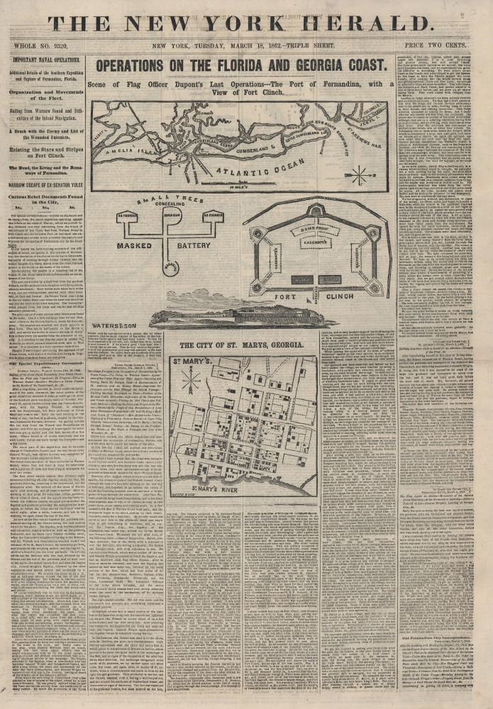
Operations on the Florida and Georgia Coast. Scene of Flag Officer Dupont's Last Operations---The Port of Fernandina, with a View of Fort Clinch.
sold
- Digital Map Information
- Suitable for large format printing
- Full resolution TIFF file
- ICC color profile embedded
- Delivered instantly via download link
This is an 1862 New York Herald map of the coast of Florida, highlighting Amelia Island and its vicinity, celebrating the Union capture of Fernandina, Florida, and Fort Clinch. (more details)
Civil War: First occupation of Jacksonville.

Operations on the Coast of Florida. Occupation of Jacksonville and St. Augustine by Commodore Dupont.
sold
- Digital Map Information
- Suitable for large format printing
- File Size: 19.52 MB
- File Type: ZIP / TIFF
- ICC color profile embedded
- Delivered instantly via download link
This is an 1862 New York Herald map of the St. Johns River and Jacksonville, Florida, illustrating the region just after the first Union occupation. It highlights the importance of the St. Johns River to the Union and Confederate armies. (more details)
Poland's National Aspirations during the Napoleonic Wars.
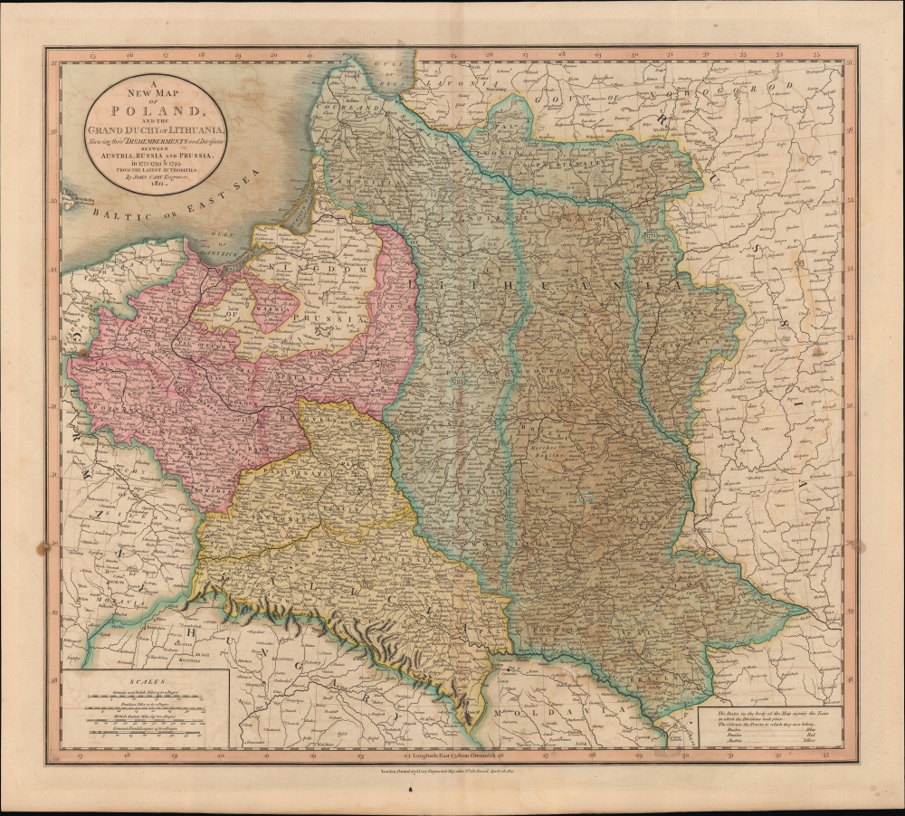
A New Map of Poland and the Grand Duchy of Lithuania, Shewing their Dismemberments and Divisions between Austria, Russia and Prussia in 1772, 1793, and 1795.
sold
- Digital Map Information
- Suitable for large format printing
- File Size: 26.39 MB
- File Type: ZIP / TIFF
- ICC color profile embedded
- Delivered instantly via download link
An example of John Cary's 1811 map of Poland, as partitioned in the late 18th century. At the time of publication, Poland regained a degree of nominal independence via the Napoleonic Duchy of Warsaw. (more details)
Continental Reach of the Hudson's Bay Company.
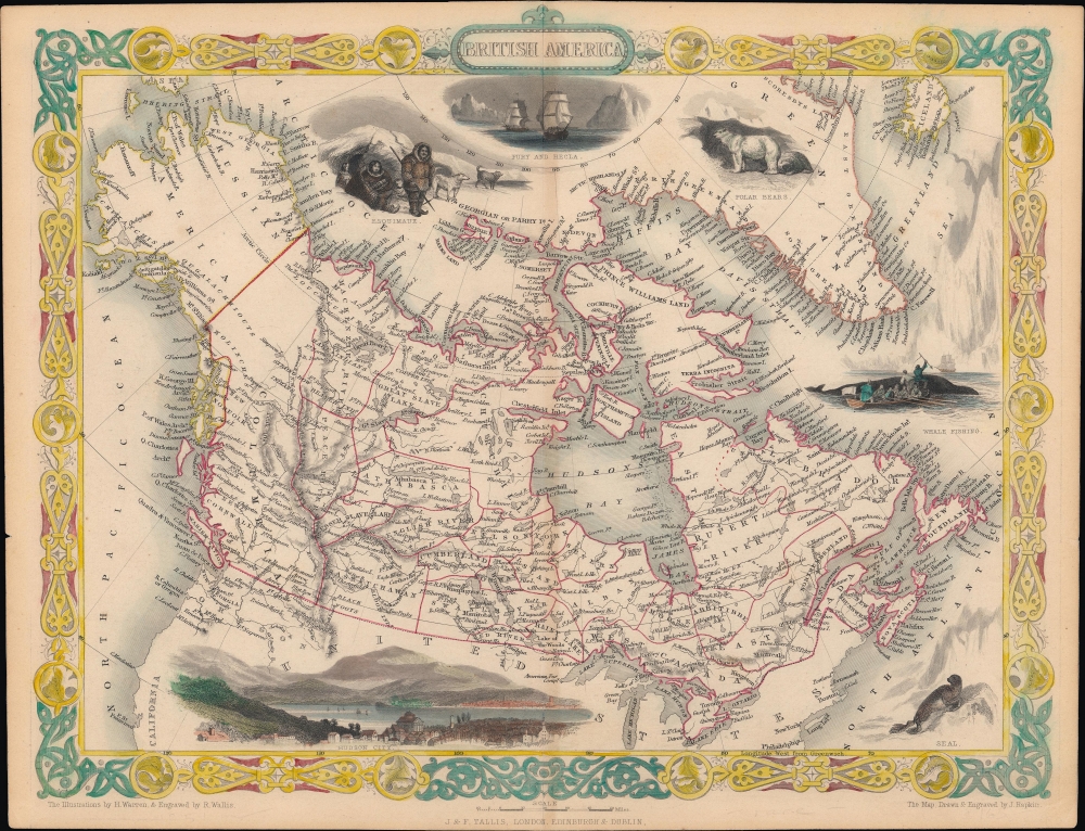
British America.
sold
- Digital Map Information
- Suitable for large format printing
- File Size: 10.28 MB
- File Type: ZIP / TIFF
- ICC color profile embedded
- Delivered instantly via download link
A scarce state of John Tallis and John Rapkin's c. 1851 map of British America or Canada. Among other features, it depicts the vast territory overseen by the Hudson's Bay Company. (more details)
Center of Qing Power on Taiwan.

台灣府城全圖 / [Complete Map of the Walled City of Taiwan-fu].
sold
- Digital Map Information
- Suitable for large format printing
- Full resolution TIFF file
- ICC color profile embedded
- Delivered instantly via download link
A remarkable find, this unrecorded c. 1830 manuscript map presents a detailed catalog of Tainan, Taiwan, when the city served as the Qing administrative capital of the island, known as Taiwan-fu. (more details)
Reconciling New Discovery with Ptolemy.
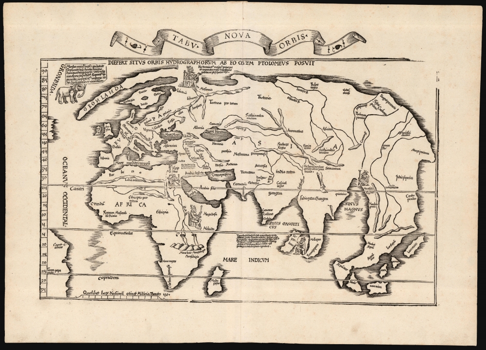
Tabu. Nova Orbis.
sold
- Digital Map Information
- Suitable for large format printing
- Full resolution TIFF file
- ICC color profile embedded
- Delivered instantly via download link
A superb example of Lorenz Fries's 1522 map of the world. This is one of the great Discovery-Era world maps, capturing the impact of contemporary exploration on the late-Roman cartographic models of Ptolemy. (more details)
The most magnificent pictorial map of China ever produced.
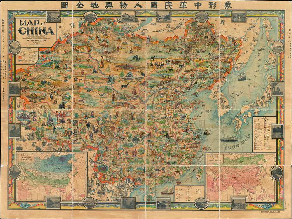
A Map of China. / 象形中華民國人物輿地全圖 / Xiàngxíng Zhōnghuá Mínguó Rénwù Yúdì Quántú (Pictorial Full Map of the People and Geography of the Republic of China.)
sold
- Digital Map Information
- Suitable for large format printing
- Full resolution TIFF file
- ICC color profile embedded
- Delivered instantly via download link
Among the most extraordinary pictorial maps we have seen to date, a masterpiece. This enormous and lavish chromolithograph pictorial map of China was compiled in 1931 by John A. Diakoff, drawn by G. Primakoff, and printed by Yao-Hsiun. The map covers all of China from Kashgar to Taiwan, including neighboring Korea, Japan, Mongolia, and Nepal. All lands within the borders of China are rich in color and detail with countless vignettes illustrating a diversity of plant and animal life, distinct cultures, architectures, and resources. Text and annotations throughout are in both English and Chinese. Regions outside of China, like Japan, Korea, and India, are also heavily illustrated with vignettes, but are not in color. (more details)
'... one of the first and best maps that show both Oregon and Washington together, in a large scale, published as a separate' - Rumsey

J.K. Gill and Cos. Map of Oregon and Washington Ter.
sold
- Digital Map Information
- Suitable for large format printing
- Full resolution TIFF file
- ICC color profile embedded
- Delivered instantly via download link
This is the 1878 Robert Habersham and John Gill map of Oregon and Washington Territory. It was issued during Washington's early push for statehood. According to David Rumsey, 'this is one of the first and best maps that show both Oregon and Washington together, in a large scale, published as a separate'. The present example has provenance connecting it to Jacob Kamm, co-founder of the Oregon Steam Navigation Company. (more details)
Portland and Casco Bay.
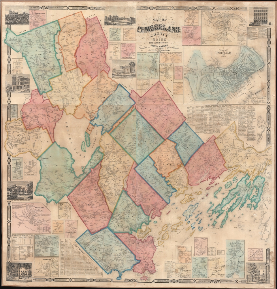
Map of Cumberland County Maine from actual surveys.
sold
- Digital Map Information
- Suitable for large format printing
- File Size: 255.3 MB
- File Type: ZIP / TIFF
- ICC color profile embedded
- Delivered instantly via download link
An attractive 1857 wall map of Cumberland County, Maine, including Portland and Casco Bay. (more details)
First generally acquirable Map of Scandinavia, Iceland and Greenland.
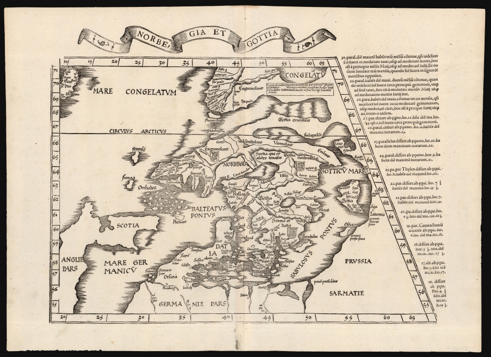
Norbegia et Gottia.
sold
- Digital Map Information
- Suitable for large format printing
- Full resolution TIFF file
- ICC color profile embedded
- Delivered instantly via download link
This is Lorenz Fries' 1522 map, in a 1535 edition, of one of the earliest maps to focus on the northern parts of Europe, including Iceland and Greenland. It is one of the earliest acquirable maps to include the geography of Claudius Clavus (1388 - 14??). (more details)